Top 20 Natural Monuments around Sierra de Albarracín
Natural monuments around Sierra de Albarracín feature diverse landscapes, unique geological formations, and rich biodiversity. The region is characterized by extensive pine forests growing on reddish sandstone, creating a "red city" landscape of alleys, towers, and rock shelters. Gorges carved by rivers, such as the Barranco de la Hoz, offer dramatic scenery, while the source of the Tagus River marks a significant geographical point. This area provides opportunities to explore ancient rock art and varied ecosystems.
Best natural monuments around…
Last updated: October 10, 2026
Peñas Royas Viewpoint
Highlight • Viewpoint
Translated by Google •
Tip by

Barranco Mingo Marco
Highlight • Gorge
Showing Translation
Tip by

Sign up now to discover places like this
Get recommendations on the best single tracks, peaks, & plenty of other exciting outdoor places.
Moricacho of the Gorge
Highlight • Natural Monument
Translated by Google •
Tip by

Laguna de Bezas
Highlight • Lake
It is located …
Translated by Google •
Tip by

Source of the River Tagus
Highlight • River
Translated by Google •
Tip by
Cabrerizo Viewpoint
Highlight • Viewpoint
Translated by Google •
Tip by
San Pedro Mill Waterfall
Highlight • Waterfall
Translated by Google •
Tip by

Herrería Waterfall
Highlight • Waterfall
Translated by Google •
Tip by
Shelter of the Archer of the Enclosed Ravines
Highlight • Historical Site
Translated by Google •
Tip by
Balsa del Pinar
Highlight • Lake
Translated by Google •
Tip by
Sign up for free to discover even more natural monuments around Sierra de Albarracín.
Already have an account?
Start today with a free account
Your next adventure awaits.
Popular around Sierra de Albarracín
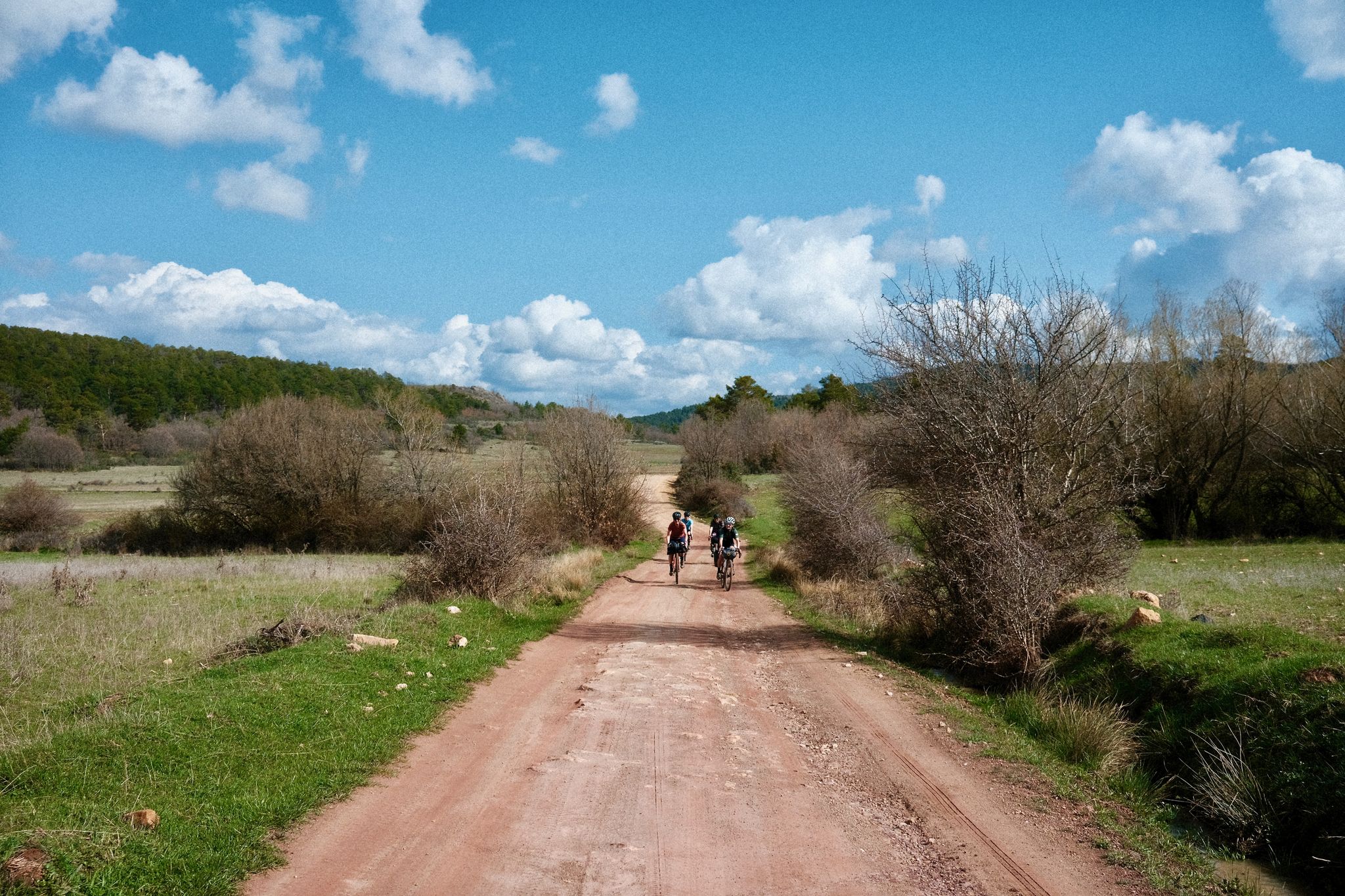
Women's Montañas Vacías 2022 — bikepack in rural Spain

MontañasVacías official — bikepacking across the Spanish Lapland
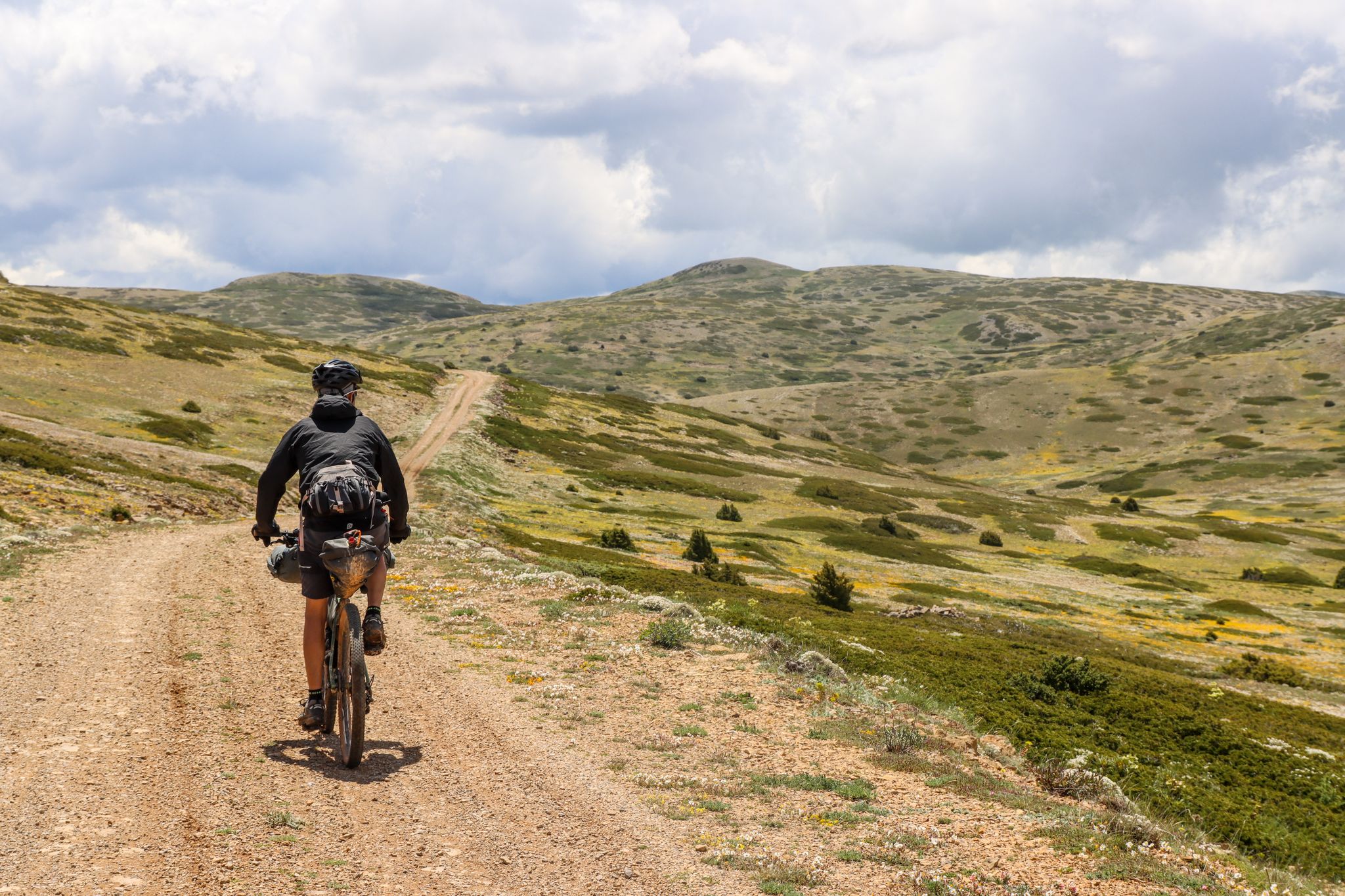
Montañas Vacías — bikepacking the wild and remote 'Empty Mountains'
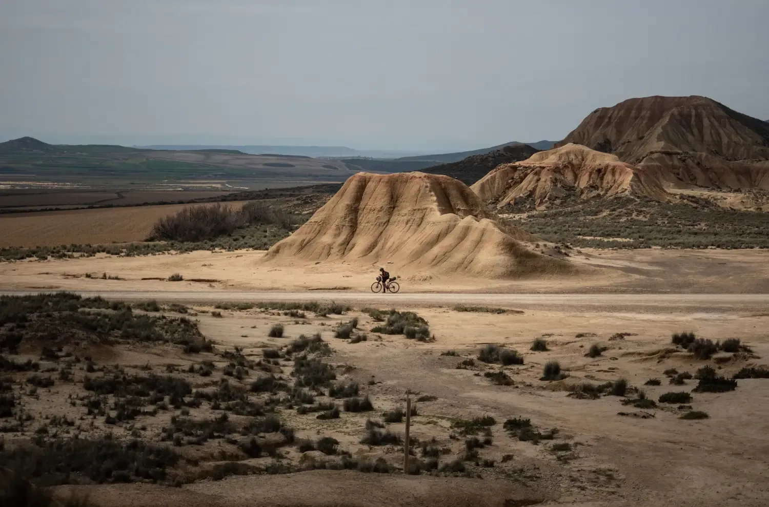
9 mountain biking routes in undiscovered Spain
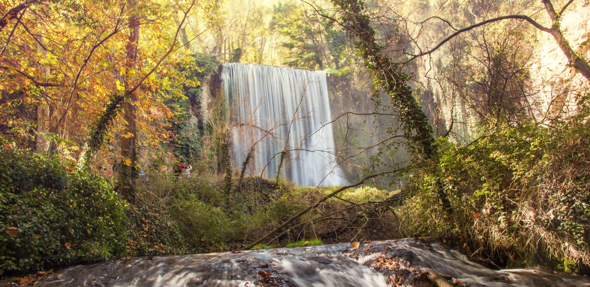
Landscapes of water and rock – Spain’s Jalón and Jiloca Trail (GR 24)

Albarracín to Toledo – Eastern Tagus Nature Trail
A journey on the Iberian Peninsula – Tagus Nature Trail
Nature in its purest form – bikepacking in the Sierra de Albarracín
The Three Taifas by gravel bike – El Camino del Cid
The Way of El Cid by bike – The Three Taifas
Other adventures around Sierra de Albarracín


Tips from the Community

The hiking trails are not perfectly maintained, sometimes there are protruding pins, missing beams, or anchoring in the rocks is loose. If you take photos and look around, you might get dizzy.
15
0
This seven-to-nine-kilometer hike takes you past suspension bridges and waterfalls, with cliffs overlooking the road as you walk along a charming watercourse.
15
0

A small puddle that is under nature protection ;-)
0
0

The official source of water is located at Fuente de García, in the Montes Universales, within the municipality of Frías de Albarracín (Teruel). It is located at an altitude of approximately 1,590 meters, surrounded by pine forests and high mountain meadows. Access is very easy and well signposted. Take the A-1704 highway, which connects Frías de Albarracín with Huélamo (Cuenca). From the highway, a paved detour of approximately 2 km takes you directly to the recreational area and the monument. There is free parking next to the monument.
10
0
Access is very easy and well signposted. Take the A-1704 highway, which connects Frías de Albarracín with Huélamo (Cuenca). From the highway, a paved detour of approximately 2 km takes you directly to the recreational area and the monument. There is free parking next to the monument.
5
0
The official source is located at Fuente de García, in the Montes Universales, within the municipality of Frías de Albarracín (Teruel). It is located at an altitude of approximately 1,590 meters, surrounded by pine forests and high mountain meadows.
5
0

It is a reference to the place where the longest river in Spain originates, stretching over 1,000 km and flowing into neighboring Portugal. These statues symbolize this point in the Albarracín mountain range.
8
0
The Peñas Royas Viewpoint is one of the most spectacular spots in the natural surroundings of Albarracín, located within the Pinares de Rodeno Natural Park in the province of Teruel. It is located just a few kilometers from Albarracín's historic center.
4
0
Frequently Asked Questions
What are the most popular natural monuments around Sierra de Albarracín?
Visitors frequently enjoy the Cabrerizo Viewpoint for its panoramic views of the characteristic reddish rock formations. Another favorite is Barranco Mingo Marco, a picturesque gorge known for its erosion landscapes and as a starting point for hiking trails. The Laguna de Bezas, the largest lagoon in the Sierra, is also highly appreciated for its serene beauty within the Pinares de Rodeno.
Are there family-friendly natural monuments in the Sierra de Albarracín region?
Yes, several natural monuments are suitable for families. The Laguna de Bezas offers a pleasant setting for a relaxed outing. The Cabrerizo Viewpoint is also easily accessible. For a mix of nature and history, the Prado del Navazo Bulls Rock Shelter, with its ancient rock art, is a fascinating option for all ages.
What unique geological features can I explore in the natural monuments?
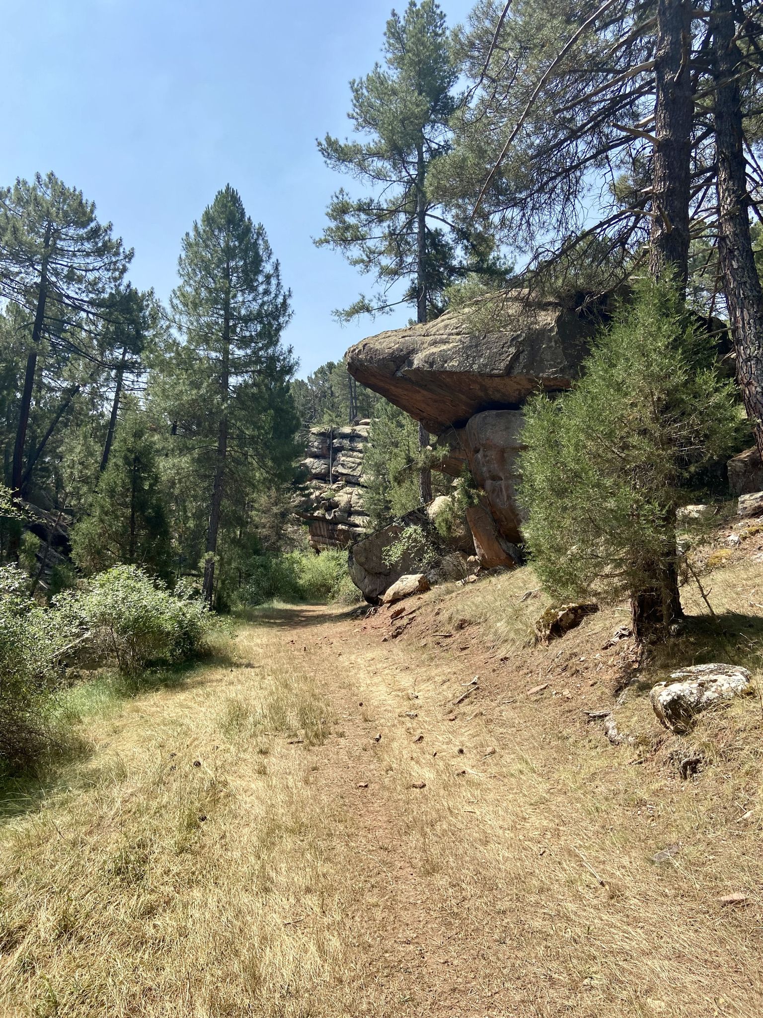
The Sierra de Albarracín is renowned for its striking geological formations. The Pinares de Rodeno area features extensive pine forests growing on reddish sandstone, creating a unique 'red city' landscape of alleys, towers, and mushroom-shaped rocks. You can also find 'taffoni' (rounded cavities) and 'gnammas' (small water-collecting basins). Gorges like Barranco Mingo Marco showcase dramatic erosion patterns with steep stone walls.
Where can I see ancient rock art in the Sierra de Albarracín?
The Pinares de Rodeno Protected Landscape is home to valuable examples of Levantine rock art, recognized as UNESCO Natural Heritage. You can visit shelters like the Prado del Navazo Bulls Rock Shelter or the Shelter of the Archer of the Enclosed Ravines, which display ancient paintings depicting daily life, rituals, and hunting scenes from 12,000 to 6,500 years ago.
Are there any impressive waterfalls to visit?
Yes, the region features beautiful waterfalls. The Herrería Waterfall, near El Vallecillo, is an 8-meter cascade on the Cabriel River, accessible via a picturesque hiking route. Another notable one is the Cascada de la Hoz (also known as Cascada Batida or Cascada del Molino Viejo) in the Barranco de la Hoz de Calomarde, an approximately 20-meter waterfall originating from the Río Blanco.
What kind of hiking trails are available near these natural monuments?
The natural monuments offer a variety of hiking experiences. The Pinares de Rodeno has a network of marked trails. The Barranco de la Hoz de Calomarde features a route with wooden bridges and metallic walkways that traverse the canyon. You can find easy hikes like the 'Barranco de la Hoz Trail' or 'Dornaque Interpretation Center - Peña del Hierro Trail' in the Easy hikes around Sierra de Albarracín guide. For waterfall enthusiasts, the Waterfall hikes around Sierra de Albarracín guide lists routes like the 'Ojos del Cabriel and Molino de San Pedro Waterfall Trail'.
Where is the source of the Tagus River located, and what can I see there?
The Nacimiento del Río Tajo (Source of the Tagus River) is situated at an altitude of 1600 meters in the Montes Universales, within the Sierra de Albarracín. Here, a small pond collects water from springs, marking the beginning of the Iberian Peninsula's longest river. You'll find a distinctive monument to 'Father Tajo' and a recreational area with tables. The area also provides access to numerous hiking trails, including sections of the GR-10.
Can I find natural springs or rivers to explore?
Absolutely. The Ojos del Cabriel are natural springs that feed the Cabriel River, and they are accessible via a trail. The Barranco de la Hoz de Calomarde is carved by the meandering Río Blanco, offering crystal-clear pools. The Nacimiento del Río Tajo is the very source of the Tagus River, where you can enjoy pure mountain water from a fountain.
What is the best time of year to visit the natural monuments in Sierra de Albarracín?
The Sierra de Albarracín offers beauty year-round. Spring and autumn are particularly pleasant for hiking, with mild temperatures and vibrant colors. In spring, the flora is in full bloom, while autumn brings stunning foliage to the pine and oak forests. Summer is ideal for enjoying the cooler temperatures at higher altitudes and near rivers, while winter can offer a unique, serene experience, especially around the Nacimiento del Río Tajo.
Are there any challenging treks or running trails in the area?
Yes, for those seeking more challenging activities, the region offers options. The Running Trails around Sierra de Albarracín guide includes routes like 'Barranco del Cabrerizo y Mirador de Peñas Royas – running circular through the Pinares de Rodeno,' which is a moderate 11 km trail. Some sections of the GR-10 near the Nacimiento del Río Tajo also provide longer, more demanding hiking opportunities.
What wildlife can I expect to see in the natural monuments?
The Pinares de Rodeno Protected Landscape is home to diverse fauna, including protected species such as the Peregrine Falcon, Eurasian Eagle-Owl, and Golden Eagle. You might also spot deer and roe deer. The Laguna de Bezas is a good spot for birdwatching, with various species enjoying the aquatic environment.
What is the Moricacho of the Gorge?
The Moricacho of the Gorge is an immense cliff or monolith that rises majestically above the Río Blanco in the Barranco de la Hoz. It offers a spectacular view and is a striking natural landmark that adds to the dramatic scenery of the gorge area. It's part of a hiking route that immerses you in a landscape of contrasts.
Most popular routes around Sierra de Albarracín
Most popular attractions around Sierra de Albarracín

Get inspired with the komoot mobile app


Didn’t find what you were looking for?
Find even more amazing natural monuments around Sierra de Albarracín by checking out the top Highlights region by region:
Explore more
Extend your search for the best caves by checking out these guides of the top ones around Sierra de Albarracín:
