Top 6 Mountain Passes around Peñagolosa
Mountain passes around Peñagolosa are characterized by the Penyagolosa Natural Park, home to Mount Sant Joan de Penyagolosa, the highest peak in Castellón province. The region offers diverse terrain and elevation, with routes ranging from moderate to challenging. This area is a popular destination for hiking and mountaineering, featuring dramatic landscapes, lush forests, and deep ravines. The cultural significance of the Sant Joan de Penyagolosa sanctuary also draws visitors to the area.
Best mountain passes around Peñagolosa
- The most popular…
Last updated: October 10, 2026
Xodos / Chodos Pass (Atzeneta Side)
Highlight (Segment) • Mountain Pass
The port that goes up to Xodos/Chodos is one of the great colossi of the province of Castellón, with its more than 16 kilometers in length and almost 700 …
Translated by Google •
Tip by

Puerto El Remolcador
Highlight • Mountain Pass
Showing Translation
Tip by

Sign up now to discover places like this
Get recommendations on the best single tracks, peaks, & plenty of other exciting outdoor places.
Loma El Zorro Pass (West Side)
Highlight • Mountain Pass
Translated by Google •
Tip by
Coll de les Coronetes
Highlight • Mountain Pass
Translated by Google •
Tip by
Alto Mas de la Costa
Highlight (Segment) • Mountain Pass
Translated by Google •
Tip by

San Vicente de Piedrahíta Viewpoint
Highlight • Viewpoint
Just 3 km from Montanejos begins the ascent to the port (also a viewpoint) with ramps between 8 and 11%. It is …
Translated by Google •
Tip by
Start today with a free account
Your next adventure awaits.
Popular around Peñagolosa



Tips from the Community

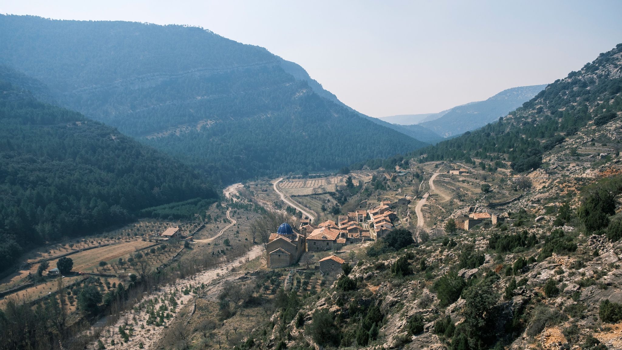
El Puerto El Remolcador is located deep in the mountains of Castellón. The ascent takes place with views of a spectacular landscape of limestone cliffs and with a marked rural character among dry orchards.
1
0

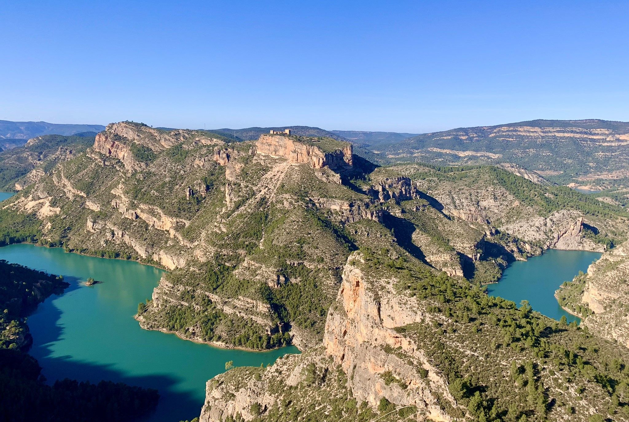
2nd category port in the Alto Millares region. Just 3 km from Montanejos begins the ascent to the port (also a viewpoint) with ramps between 8 and 11%. It is a short section that can be climbed at a good pace to enjoy the path and the views.
2
0
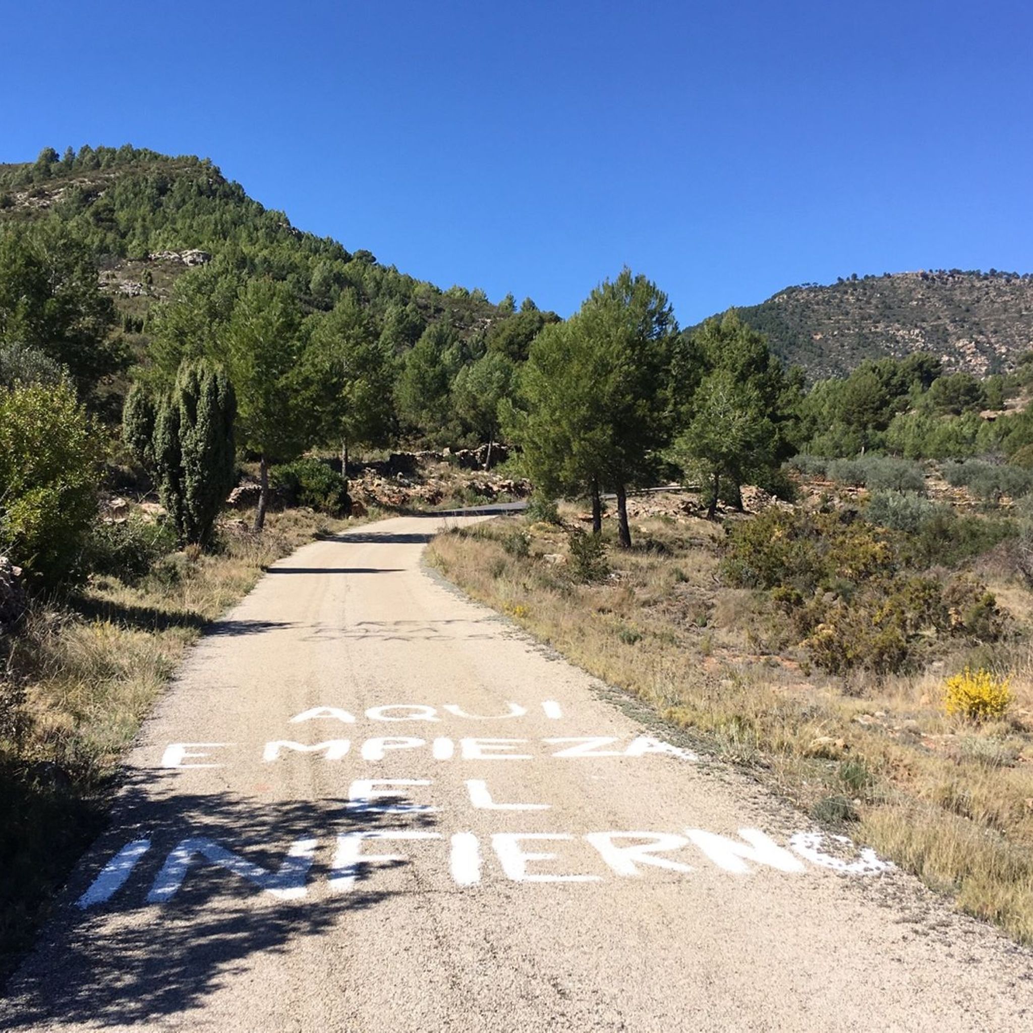
With an average slope of 12.4% to reach an altitude of 942 meters above sea level, it has undoubtedly earned the title of the hardest mountain pass in the province of Castellón. The surface from the road detour is concrete and can be quite rough in sections with a saw, so it is better to be careful, especially going down. Climbing to the Alto del Mas de la Costa is a tough and demanding challenge with the reward of spectacular views throughout the journey.
1
0

https://www.dandolotodo09.com/2021/09/puertos-xodos-chodos-por-atzeneta-apm.html The port that goes up to Xodos/Chodos is one of the great colossi of the province of Castellón, with its more than 16 kilometers in length and almost 700 meters of accumulated ascent. We have waited a long time to visit it, but the ascent was worth it. Our journey begins in the town of Atzeneta del Maestrat. Very wide asphalt road in perfect condition, a paradise for bikers who trace the curves as if they were on a circuit. Shadows there is not one. It is the port of the 5 peaks, which gives an idea of what breaks we do have during its ascent. Between peaks 2 and 3 we have 5 very constant kilometers, where the slope rarely drops below 6%. Speaking of slopes, the maximum is around 10-11% and is reached at various points in the port. Arriving at the town of Xodos, the landscape opens up and we can contemplate one of the most beautiful pictures of the province, with the town perched on a cliff and the Gegant de Pedra el Penyagolosa to its left. To reach the highest point (1,103 meters above sea level) you have to cross the town and climb almost 1 kilometer more along a narrower and somewhat rougher road. The other side of the port runs along the aforementioned road and ends at the beginning of the Port of Vistabella, which is now called Coll del Vidre on the plates.
0
0
Yet another port in the confines of the province of Castellón. Although the ascent to Loma el Zorro begins at the Rodeche River on the border between Teruel and Castellón, we have not yet been able to take "in situ" data of the long version (approx. 8.5 km). So today we present the short west slope that begins in the town of Cortes de Arenoso, on the Balseta bridge. As soon as you leave the town, the road gets steep and does not stop until it reaches the brown plaque located at 1,103 meters above sea level. Very constant port of ramps that reach a maximum of 7%. Wide, well-paved road with open, bare landscapes. On the way to the top we find two accesses to the hermitage of San Cristóbal, yes, they are not paved and are more recommended for visits by mountain bike. Let's go with the data of the rise. https://www.dandolotodo09.com/2020/04/puertos-loma-el-zorro-por-cortes-de.html
0
0
Small ascent of 1.40 kms at the end of the CV-193 road that connects Argelita with Lucena del Cid. Full article: https://www.dandolotodo09.com/2018/09/puertos-coronetes-por-argelita-apm-17.html
0
0
altimetry of the Tugboat from Lucena, although this port starts earlier if you come from Alcora and Figueroles. From Lucena it is almost 9 kilometers, good asphalt and a fairly gentle slope. The hardest is at the exit of Lucena. On the weekend there are many motorcyclists. As you ascend there are good views of the Penyagolosa. Full port article: https://www.dandolotodo09.com/2018/10/puertos-el-remolcador-por-lucena-del.html
0
0
You can walk down from the road
0
1
Frequently Asked Questions
What are some of the most popular mountain passes to explore around Peñagolosa?
The region offers a variety of passes for different skill levels. For a challenging experience, consider the Xodos / Chodos Pass (Atzeneta Side), which spans over 16 kilometers with significant ascent and offers views of the town of Xodos and Penyagolosa peak. An intermediate option is El Remolcador Pass, known for its good asphalt and gentle slope from Lucena, providing excellent views of Penyagolosa.
What kind of terrain and elevation can I expect on mountain passes in the Peñagolosa region?
The mountain passes around Peñagolosa feature diverse terrain, from well-paved roads suitable for cycling to rocky trails. Elevations vary, with some passes like Xodos / Chodos Pass involving nearly 700 meters of accumulated ascent over 16 kilometers. The region is characterized by steep slopes and deep ravines, especially within the Penyagolosa Natural Park.
Are there any viewpoints or natural features worth seeing on these mountain passes?
Absolutely. Many passes offer stunning panoramic views. For instance, the San Vicente de Piedrahíta Viewpoint is an intermediate pass that provides excellent vistas. The ascent to the Penyagolosa Peak itself, often referred to as the 'roof of the Valencian Community,' offers unparalleled panoramic views that can stretch across five different provinces on clear days.
What is the best time of year to visit the mountain passes around Peñagolosa?
The region is popular for outdoor activities, suggesting pleasant conditions during spring, summer, and autumn. While specific seasonal data for passes isn't provided, the area is known for lush pine forests and diverse flora, which would be particularly vibrant in spring and early summer. Winter conditions might bring snow to higher elevations like Penyagolosa Peak, offering a different, potentially more challenging experience.
Are there family-friendly options among the mountain passes or nearby trails?
While some passes are challenging, the Penyagolosa Natural Park offers a variety of routes that can be adapted to different skill levels. For specific family-friendly passes, it's best to check individual trail descriptions for difficulty ratings. The region's natural beauty, including areas like Barranc de la Pegunta with its botanical path, can be enjoyable for families seeking less strenuous walks.
What outdoor activities can I do near the mountain passes of Peñagolosa?
The Peñagolosa region is a hub for outdoor enthusiasts. You can find numerous cycling routes, including touring bicycle and road cycling options, as well as challenging MTB trails. For example, you can explore routes like the 'Parque Natural de Penyagolosa — Circular desde Xodos hasta Puertomingalvo' for mountain biking or 'Between Mijares and Gúdar - circular from Cortes de Arenoso' for road cycling. For more details on routes, visit our guides on Cycling around Peñagolosa, MTB Trails around Peñagolosa, and Road Cycling Routes around Peñagolosa.
What kind of wildlife can I spot in the Peñagolosa mountain area?
The Penyagolosa Natural Park is rich in biodiversity. You might spot a diverse array of fauna, including birds of prey like the Golden Eagle and various vultures. Mammals such as the Mountain Goat, wild boars, badgers, and genets also inhabit the region. The park is also home to rare plants like the Cavanilles geranium.
Are there any less crowded or 'hidden gem' mountain passes around Peñagolosa?
While popular passes attract many visitors, trails like the Barranc Oscur (Dark Ravine) offer a quieter, less-traveled approach to the summit of Penyagolosa, providing a tranquil ambiance and captivating scenery. For specific passes, Loma El Zorro Pass (West Side) offers open, bare landscapes and a constant climb, which might be less frequented than the more prominent routes.
What cultural or historical sites are associated with the Peñagolosa mountain passes?
The Sant Joan de Penyagolosa sanctuary holds significant cultural importance in the region. It is a destination for five annual pilgrimages, with some originating from as far as Teruel province. An interpretation center at the sanctuary provides visitors with more information about the park's features and its cultural heritage.
What should I wear when hiking or cycling the mountain passes in Peñagolosa?
Given the diverse terrain and potential for varying weather conditions, especially at higher elevations, it's advisable to wear appropriate layers. Sturdy hiking boots are recommended for trails, and cycling gear for bike routes. Sun protection is crucial, as some passes like Xodos / Chodos Pass are noted for having little shade. Always check the weather forecast before heading out.
Are there any circular hiking routes that incorporate mountain passes in the Peñagolosa area?
Yes, the 'Route of the Penyagolosa Villages' is a notable circular mountain route. It traverses four villages within the 'Penyagolosa North Villages County' and largely runs through the Penyagolosa Natural Park. This route is designed for hiking and can take between 2 to 5 days to complete across five stages, covering approximately 60 kilometers with a significant elevation gain.
What makes the mountain passes around Peñagolosa a rewarding destination for outdoor enthusiasts?
The region offers exceptional hiking and mountaineering experiences with routes ranging from moderate to physically and technically demanding. Visitors are drawn to the stunning scenery, which includes dramatic landscapes, lush forests, rocky outcrops, and deep ravines. The panoramic views from the summit of Penyagolosa are particularly rewarding, making the effort of the climb well worth it.
Most popular routes around Peñagolosa
Most popular attractions around Peñagolosa

Get inspired with the komoot mobile app


Didn’t find what you were looking for?
Find even more amazing mountain passes around Peñagolosa organized by region:
Explore more
See even more epic mountain passes by checking out these guides around Peñagolosa:
