Top 5 Mountain Passes around Llanos Centrales
Best mountain passes around Llanos Centrales are located in the surrounding mountainous regions, as the Llanos Centrales region itself is a vast tropical grassland with a predominantly flat to slightly undulating landscape. This lowland area rarely exceeds 300 meters in elevation. Mountain passes provide routes through elevated terrain, facilitating travel into or out of the Llanos, connecting it to bordering mountain systems. These passes offer diverse terrain elevation difficulty for various outdoor activities.
Best mountain passes around Llanos Centrales
- The…
Last updated: August 30, 2026
Bandereta Pass
Highlight • Mountain Pass
Showing Translation
Tip by

Puerto de la Serratella
Highlight (Segment) • Mountain Pass
Showing Translation
Tip by
Sign up now to discover places like this
Get recommendations on the best single tracks, peaks, & plenty of other exciting outdoor places.
Sign up for free
Port del Collao (Coll del Vidre)
Highlight • Mountain Pass
In the classic cycling stage of going up to Vistabella (a stone's throw from the sky), you always have to return to Atzeneta tasting the Vidre from behind. Fortunately, …
Translated by Google •
Tip by

Xodos / Chodos Pass (Atzeneta Side)
Highlight (Segment) • Mountain Pass
The port that goes up to Xodos/Chodos is one of the great colossi of the province of Castellón, with its more than 16 kilometers in length and almost 700 …
Translated by Google •
Tip by
Coll de la Bassa (Atzeneta Side)
Highlight (Segment) • Mountain Pass
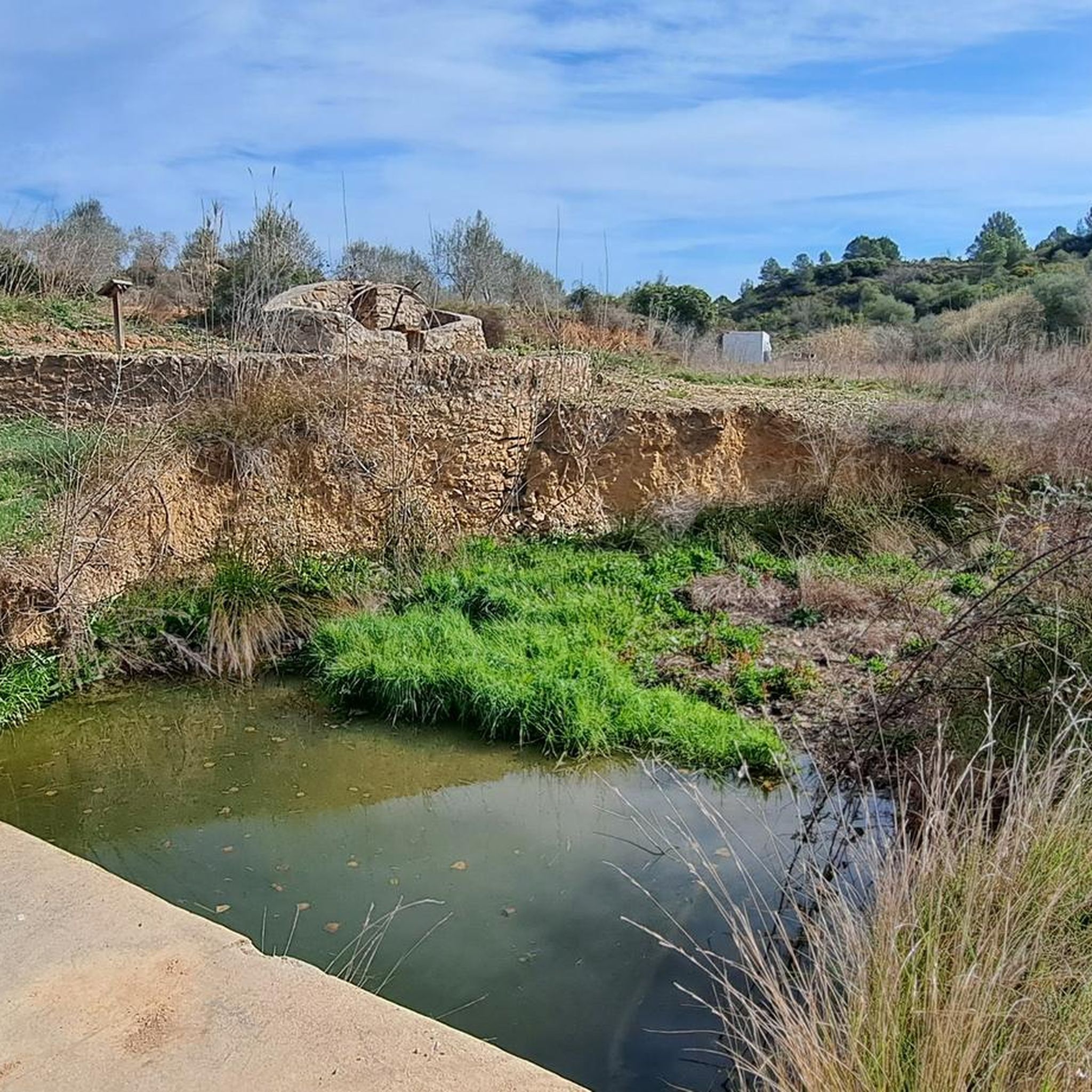
Leaving from Atzeneta in the direction of La Pelejaneta we find the Coll de la Bassa, a tack of only 2 km that culminates in the parched pond at …
Translated by Google •
Tip by
La Sarratella
Highlight • Settlement
Translated by Google •
Tip by

Start today with a free account
Your next adventure awaits.
Login or Signup
Popular around Llanos Centrales
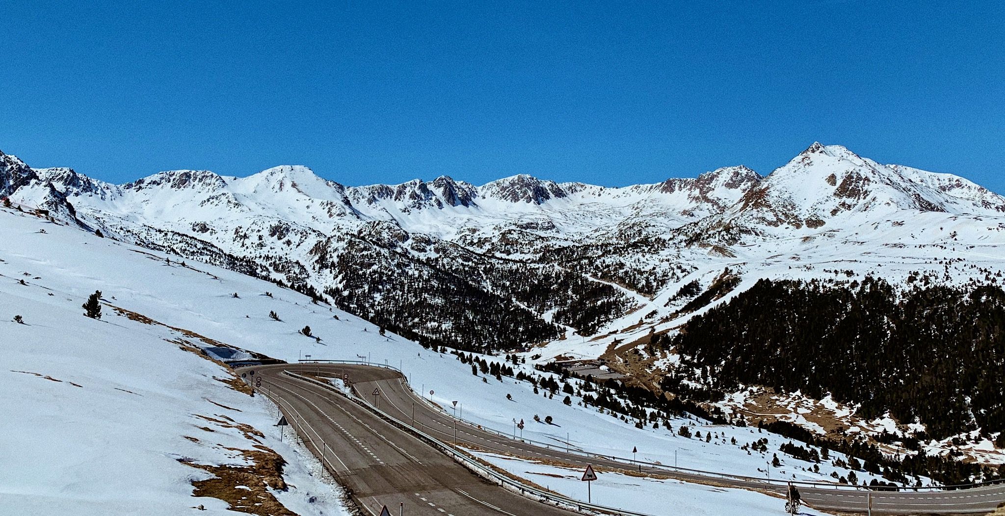
Valencia to Toulouse — Riding over the Pyrenees

La Vuelta 26 — All Official Stages
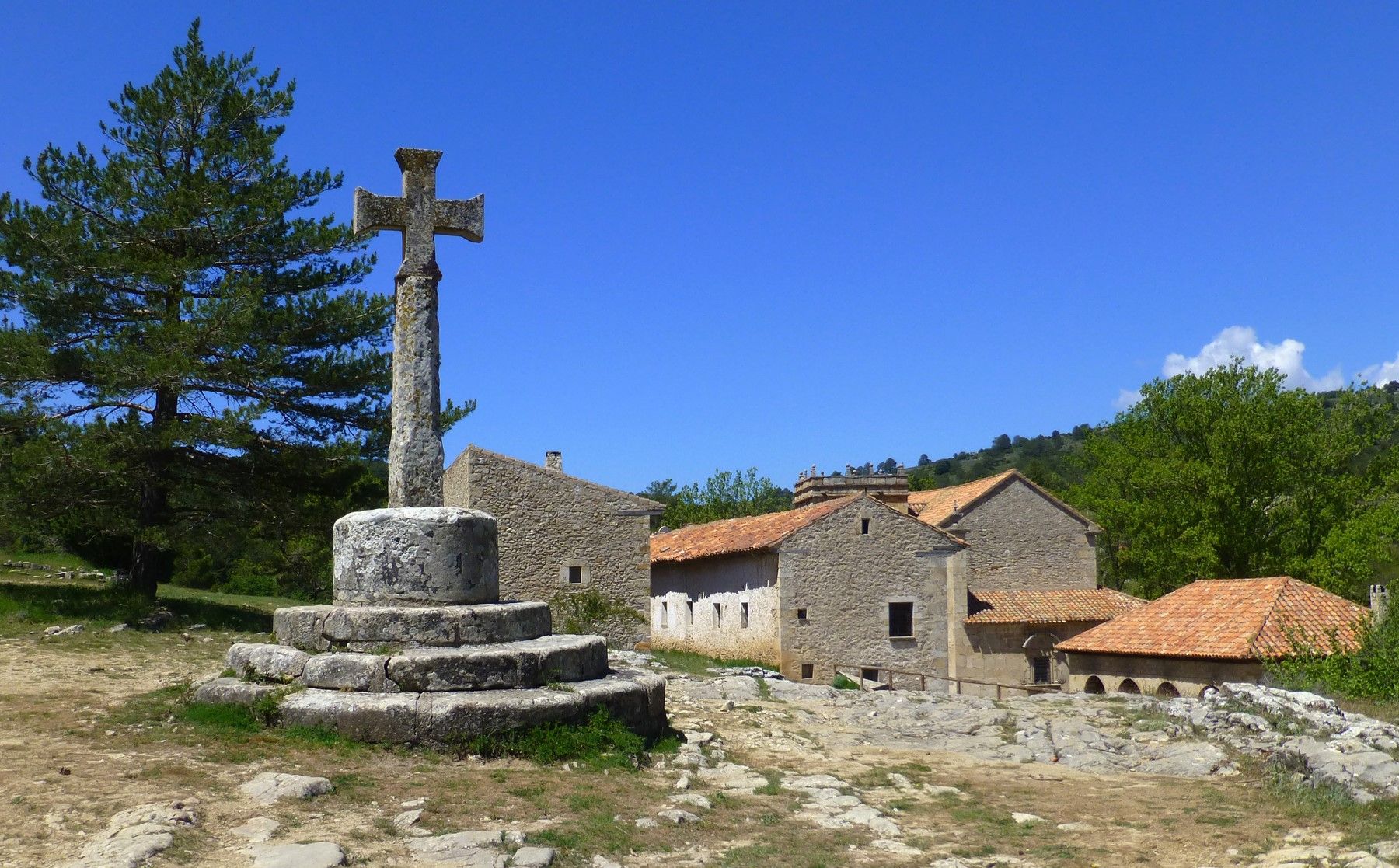
Between spiritual and earthly – Full Moon Trail (GR 33) in Spain
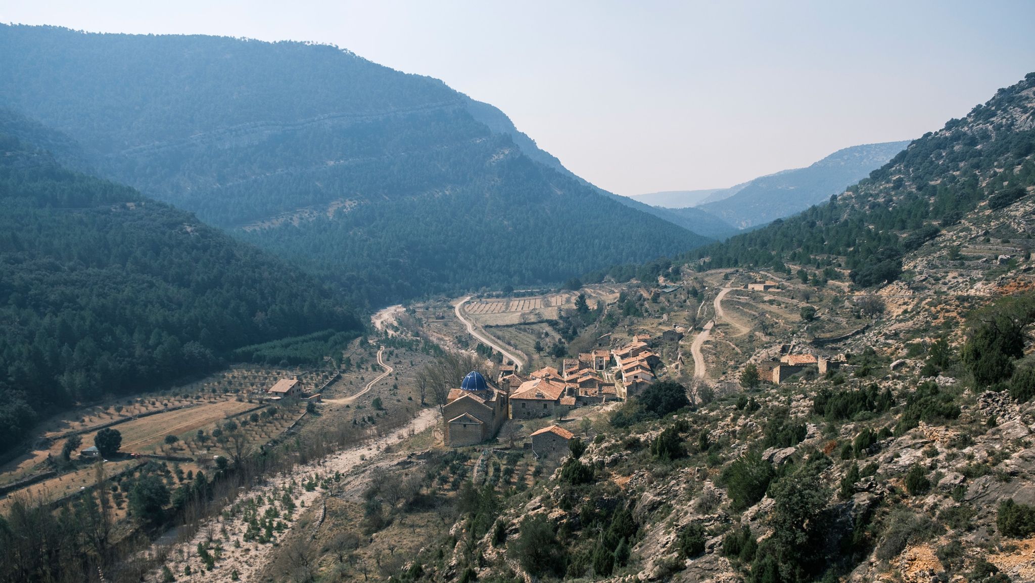
Four Mediterranean nature parks – Gran Vertical 2023
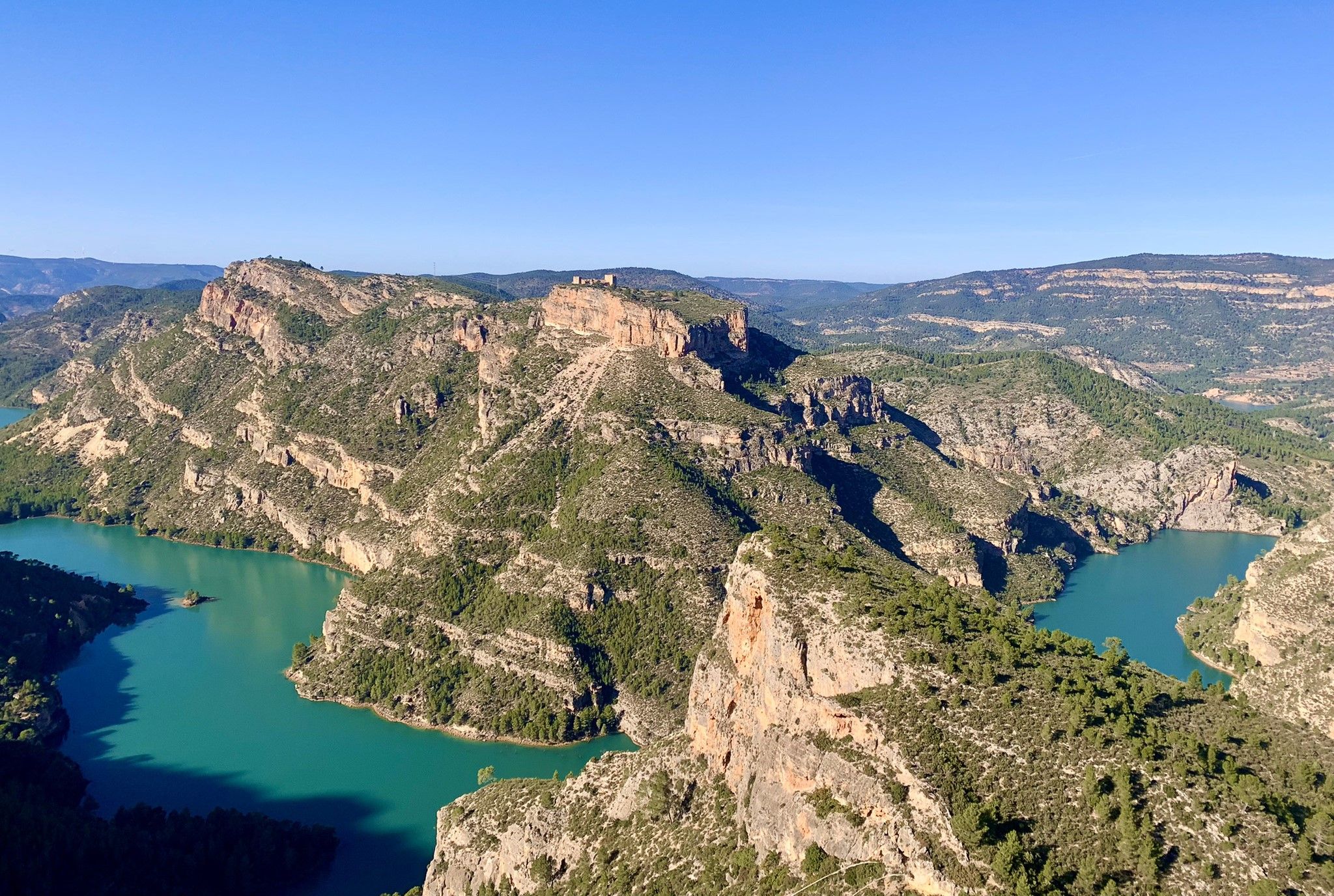
A journey full of discoveries – the Valencia region on foot (GR7)
Road Cycling Routes around Llanos Centrales
MTB Trails around Llanos Centrales
Running Trails around Llanos Centrales
Hiking around Llanos Centrales
Cycling around Llanos Centrales
Other adventures around Llanos Centrales


Tips from the Community

Incredible mountain pass. It is quite easy to get to. The village is small and has a fountain.
0
0

Historically, it was part of the Encomienda de Les Coves de Vinroma and with it it was the lordship of Blasco de Alagón between the years 1235 and 1242. Later, it was the Templars who were in charge of governing the town. In the archives and annotations of the town map of Albocácer it appears that originally the town was called Sierra de Biarach. During the first half of the 16th century, it took the name of Sarratella de Biarach and it was not until the last third of the same century when the place name of Sarratella was made official. The demographic indicators of the town have been growing throughout its history until it surpassed the barrier of 700 inhabitants in the first years of the 20th century. Since 1900 the population has been constantly reducing until it currently reaches 93 registered people. Its geographical location and orography seduced prehistoric groups. Very close to the hill where the hermitage is located there was an Epipalaeolithic site. Furthermore, in several areas of its territory, cave paintings have been discovered that are part of the Levantine rock art, declared a World Heritage Site. Social media Economic activities are dedicated to agriculture and livestock. Agriculture is traditionally based on dryland agriculture, with olive and almond cultivation predominating. Livestock farming is mainly based on grazing and pig and poultry farms. The scarce industry is related to agriculture and oil. Urban tour La Sarratella is a small town, which is very easy to get around. During the tour you can see the harmony that the houses maintain with each other, the tranquility of its people and the dark green of the mountainous landscape that can be seen from almost any area of the town. Despite being a small town, the places of interest that we can find are many and quite varied: The building of the old oven, with clear medieval traces. The torrent, located in the lower part of the town, whose complex is made up of a fountain, a water trough and some washing places. The town hall inaugurated in 1958 with some porches that limit the public part of the common part of the town halls of the medieval period. The hermitage of San Juan and the Church of San Miguel, where there is a front of the green velvet altar on which you can see Saint Michael embroidered fighting against the devil. Landscape The landscape is very mountainous, with large slopes that provide impressive views to the sea. Holm oaks and bushes scented with rosemary, thyme, lavender and other aromatic plants predominate. The climate is cool and pleasant in summer contrasting with the cold winter. The town is located at about 800 meters above sea level, although the highest point in the area is at 937 meters where the hermitage of San Juan Nepomuceno is located with an unbeatable panoramic view.
0
0

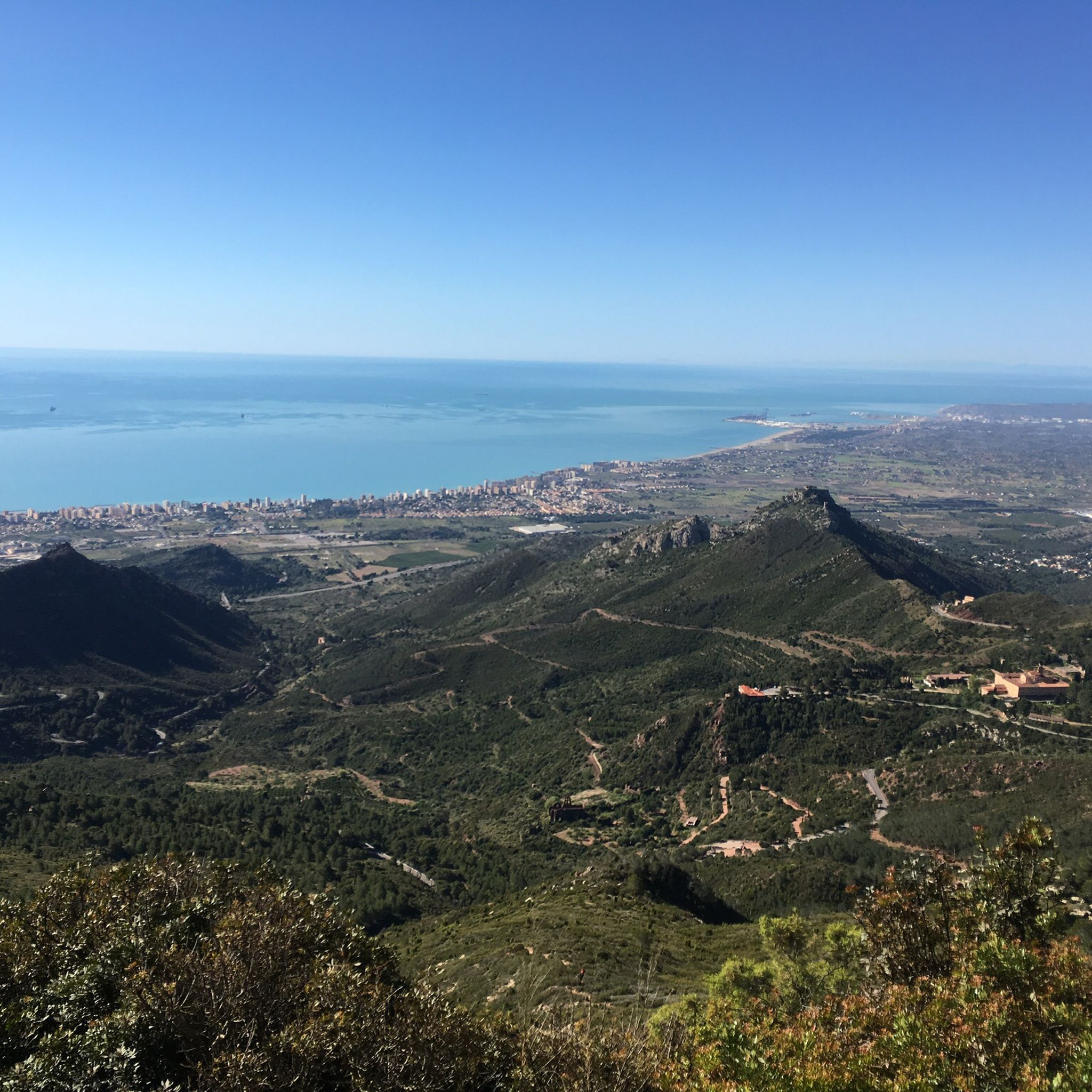
It is a beautiful and entertaining climb, without major complications and with magnificent views. In the first part, we start with gentle slopes, which will be very useful for "warming up" the legs, as from km. 4 things get a bit more serious. The gradient will start to increase, with some ramps close to 10%, and hairpin bends will appear, until we reach a first pass at km. 12. Afterwards, we will have a short rest with a descent included to the village of Serratella, and we will only have the final stretch, quite gentle, until we reach the summit at 844 m. altitude. At that point, we can decide between descending towards Albocàsser, or giving ourselves a little "warm-up" by climbing to the hermitage of S. Juan Nepomuceno via a paved track that goes off to our left, about 500 m. long and with ramps of 20%, until we reach an altitude of 920 m.
1
0
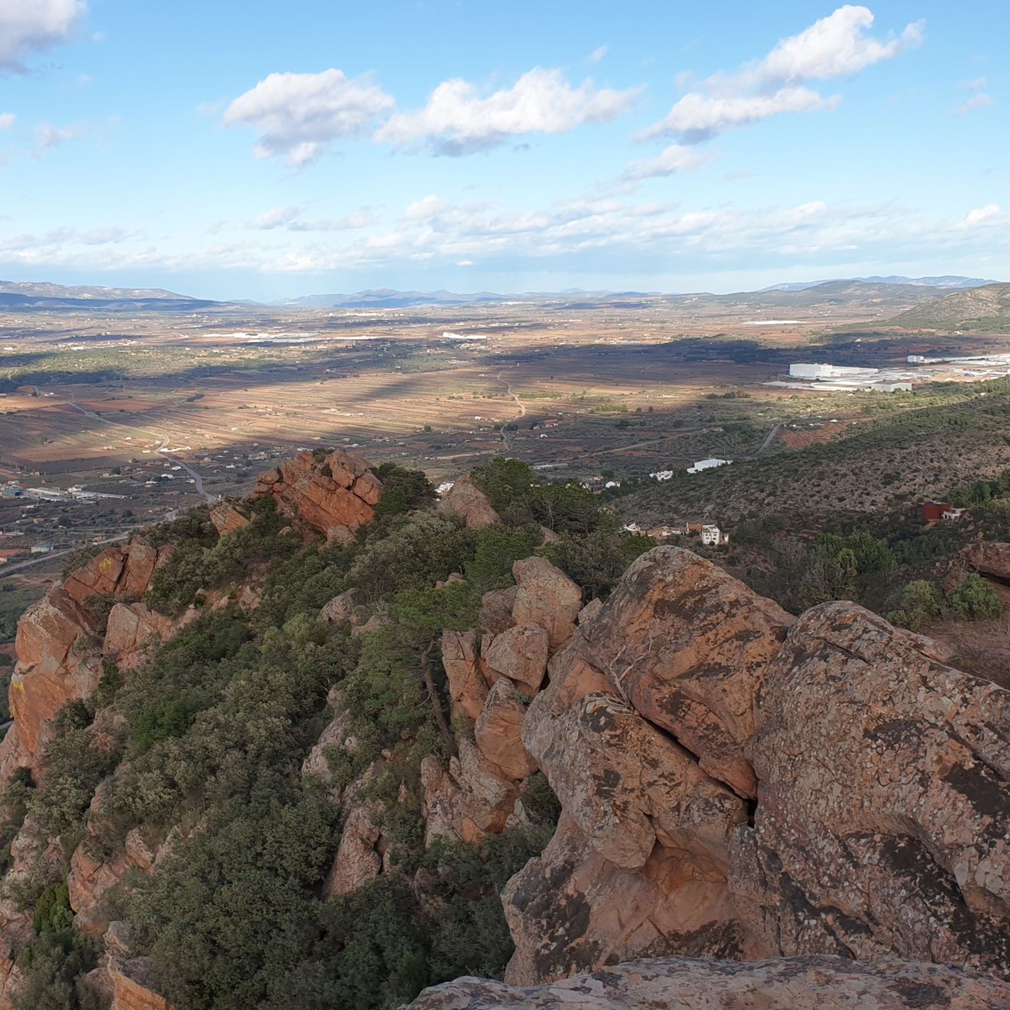
It is a short but very hard ascent, which will probably surprise us with its difficulty. We will start the climb with an initial section up to the crossroads of the CV-15 with some hard ramps already, we will cross the town of Rosildos, going around the church to look for the street that leads us towards Mas de Cervera, where we will join the "main" road towards Serra Engarcerán. Upon reaching a somewhat more wooded area, we will find a small rest, but let's not be overconfident, because after taking a left turn and the trees disappear, we will encounter the hardest part of the ascent, where the gradient reaches a maximum of 16% on a 500 m section that does not drop below 10%. We will finish somewhat more easily, but undoubtedly this climb will have pleasantly surprised us.
0
0

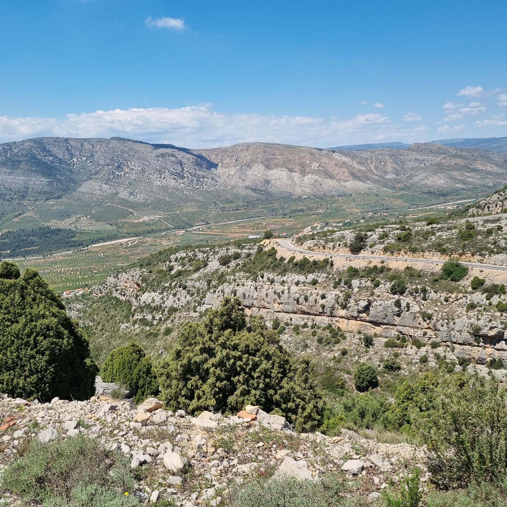
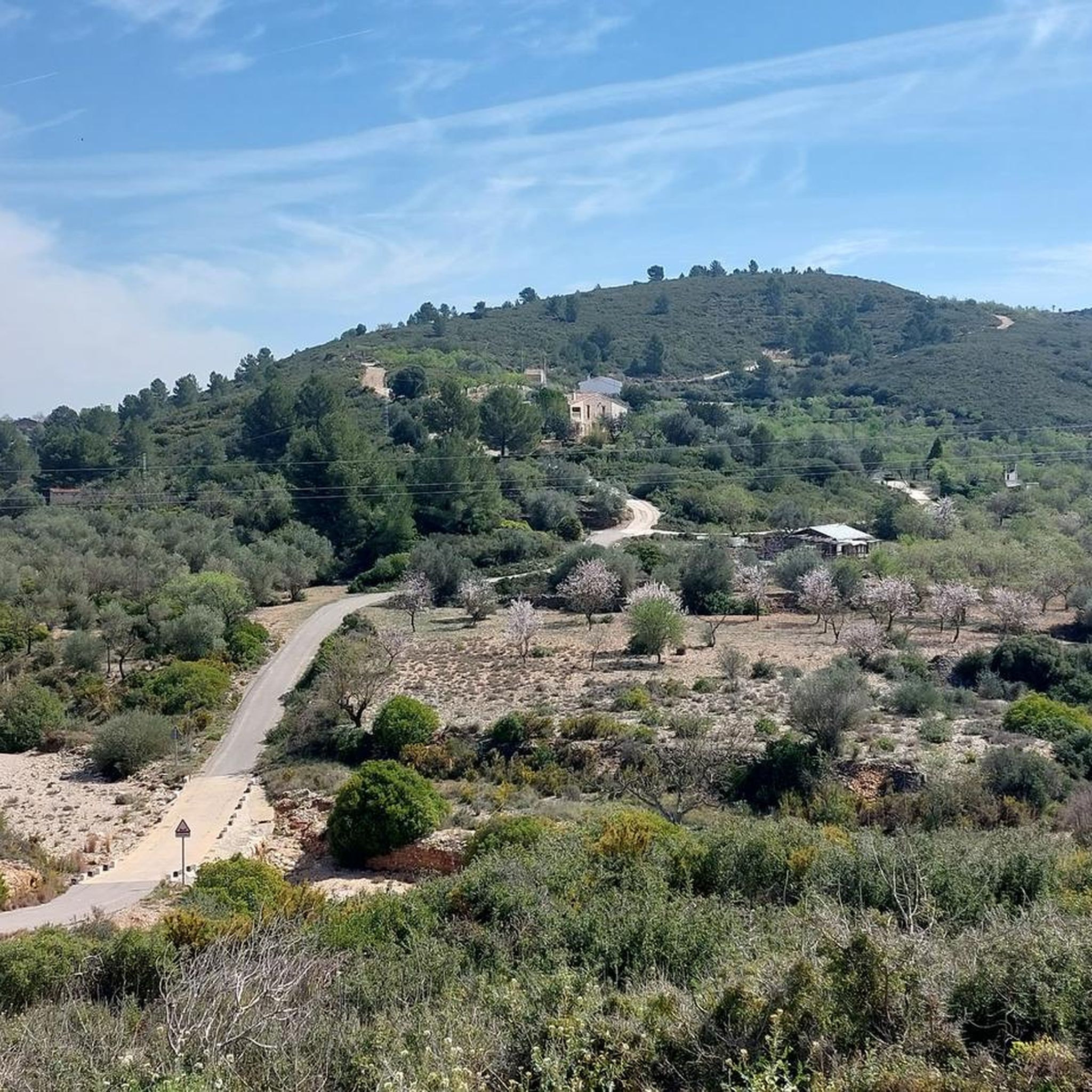
La Plana Alta has several road passes, but this one is undoubtedly among the most picturesque. You can reach it either by road or with some gravel track variants from many directions.
4
0
One of the most picturesque ports in the Plana Alta. Very beautiful landscapes rolling on asphalt in perfect condition and practically without traffic. It is short but intense and depending on where you attack it from, the slopes will be more abrupt.
3
0
With its almost 14 kilometers in length and overcoming just over 540 meters, this third-category mountain pass is demanding but also rewarding with the views you'll have along the entire route, especially once you get to the top. Go at your own pace and enjoy it!
6
0

Good views.
1
0
Frequently Asked Questions
Where are the mountain passes located in relation to Llanos Centrales?
The Llanos Centrales region is primarily a vast, flat tropical grassland. Therefore, mountain passes are not found within the Llanos themselves but are located in the surrounding mountain ranges, such as the Andes Mountains to the west and northwest, and the Venezuelan Coastal Range to the north. These passes serve as routes into or out of the Llanos region.
What types of mountain passes can I expect to find around Llanos Centrales?
The mountain passes in the surrounding regions offer a variety of experiences, from intermediate to challenging. Many feature scenic viewpoints and are suitable for cycling and hiking. For example, you can find passes with constant slopes and hairpin bends, or longer, more demanding routes with significant ascents.
What are some of the most picturesque mountain passes in the area?
One of the most picturesque passes is Coll de la Bandereta, known for its beautiful landscapes, perfect asphalt, and minimal traffic. It's described as short but intense, offering awesome views.
Are there any challenging mountain passes for experienced cyclists or hikers?
Yes, for those seeking a challenge, Xodos / Chodos Pass (Atzeneta Side) is a significant climb. It spans over 16 kilometers with nearly 700 meters of ascent, featuring multiple peaks and slopes reaching 10-11%. The ascent offers stunning views of the town of Xodos perched on a cliff and the Penyagolosa mountain.
Which mountain passes offer the best views?
Many passes provide excellent vistas. Puerto de la Serratella is particularly noted for its comforting views throughout the journey, especially from the top after its 14 km ascent. Port del Collao (Coll del Vidre) also offers good views.
Are there family-friendly spots or historical sites near these mountain passes?
While the passes themselves are primarily for outdoor activity, the settlement of La Sarratella is highlighted as a family-friendly spot and a historical site, also offering viewpoints. It's a good option for those looking for a mix of activity and cultural interest.
What outdoor activities can I do near the mountain passes around Llanos Centrales?
The region surrounding Llanos Centrales offers diverse outdoor activities. You can find numerous routes for hiking, mountain biking (MTB), and touring bicycles. For example, there are easy hiking trails like the Vilafamés Castle loop, moderate MTB trails such as the Serra de Engarcerán via Collado de la Bandereta, and challenging cycling routes like the Gran Travesía BTT Alt Maestrat Loop. You can explore more options in the easy hikes, MTB trails, and cycling guides for the area.
Are there specific hiking trails near these mountain passes?
Yes, there are various hiking trails available. For easier options, consider routes like the Vilafamés Castle – La Roca Grossa loop or the Abrigo de la Joquera Rock Art loop. For more details and other trails, refer to the Easy hikes around Llanos Centrales guide.
What do visitors enjoy most about the mountain passes around Llanos Centrales?
Visitors frequently praise the beautiful landscapes, the quality of the asphalt on cycling routes, and the rewarding views from the summits. Many appreciate the challenge of the climbs and the sense of accomplishment, often recommending taking it easy to fully enjoy the journey and the scenery.
What is the best time to visit the mountain passes in the region?
Given the tropical grassland climate of the Llanos Centrales and the surrounding mountainous areas, the dry season (typically from November to April) is generally the most favorable time to visit. During this period, you can expect more stable weather conditions, making outdoor activities like cycling and hiking more enjoyable.
Is there an intermediate mountain pass that is relatively short?
Yes, Coll de la Bassa (Atzeneta Side) is an intermediate pass that is only about 2 km long. It features a single powerful ramp with a maximum slope of 9% and culminates at a parched pond, offering a quick but intense climb.
Most popular routes around Llanos Centrales
Most popular attractions around Llanos Centrales

Get inspired with the komoot mobile app


Didn’t find what you were looking for?
Find even more amazing mountain passes around Llanos Centrales organized by region:
Explore more
See even more epic mountain passes by checking out these guides around Llanos Centrales:
