Top 12 Natural Monuments around Campo De Gomara
Best natural monuments around Campo De Gomara are found in a region of Soria, Spain, characterized by significant natural beauty and ecological importance. This area, while not always having formally designated "natural monuments" within its immediate borders, is surrounded by diverse natural features. The landscape includes prominent mountain ranges, serene river canyons, and extensive plains. These sites offer varied experiences for nature enthusiasts exploring the Soria province.
Best natural monuments around Campo De Gomara
- The most popular natural monuments is…
Last updated: June 23, 2026
Moncayo Summit
Highlight • Summit
Translated by Google •
Tip by

Peña del Tío Fresquito
Highlight • Viewpoint
Translated by Google •
Tip by
Sign up now to discover places like this
Get recommendations on the best single tracks, peaks, & plenty of other exciting outdoor places.
Sign up for free
Pozo de las Truchas Waterfall
Highlight • Waterfall
Translated by Google •
Tip by
Peña Negrilla Summit
Highlight • Summit
Translated by Google •
Tip by
Source of the Queiles River
Highlight • River
Translated by Google •
Tip by

Carravieja Rock Formations
Highlight • Natural Monument
Translated by Google •
Tip by
Aldehuela de Periáñez
Highlight • Settlement
Translated by Google •
Tip by

Source of the Isuela River
Highlight • River
Translated by Google •
Tip by
Fuente de Aguaviva and Recreation Area
Highlight (Segment) • Rest Area
Translated by Google •
Tip by
Alto de Las Cabezas Geodetic Point
Highlight • Viewpoint
Translated by Google •
Tip by

Sign up for free to discover even more natural monuments around Campo De Gomara.
Sign up for free
Already have an account?
Start today with a free account
Your next adventure awaits.
Login or Signup
Popular around Campo De Gomara

Around the World in 80 Days
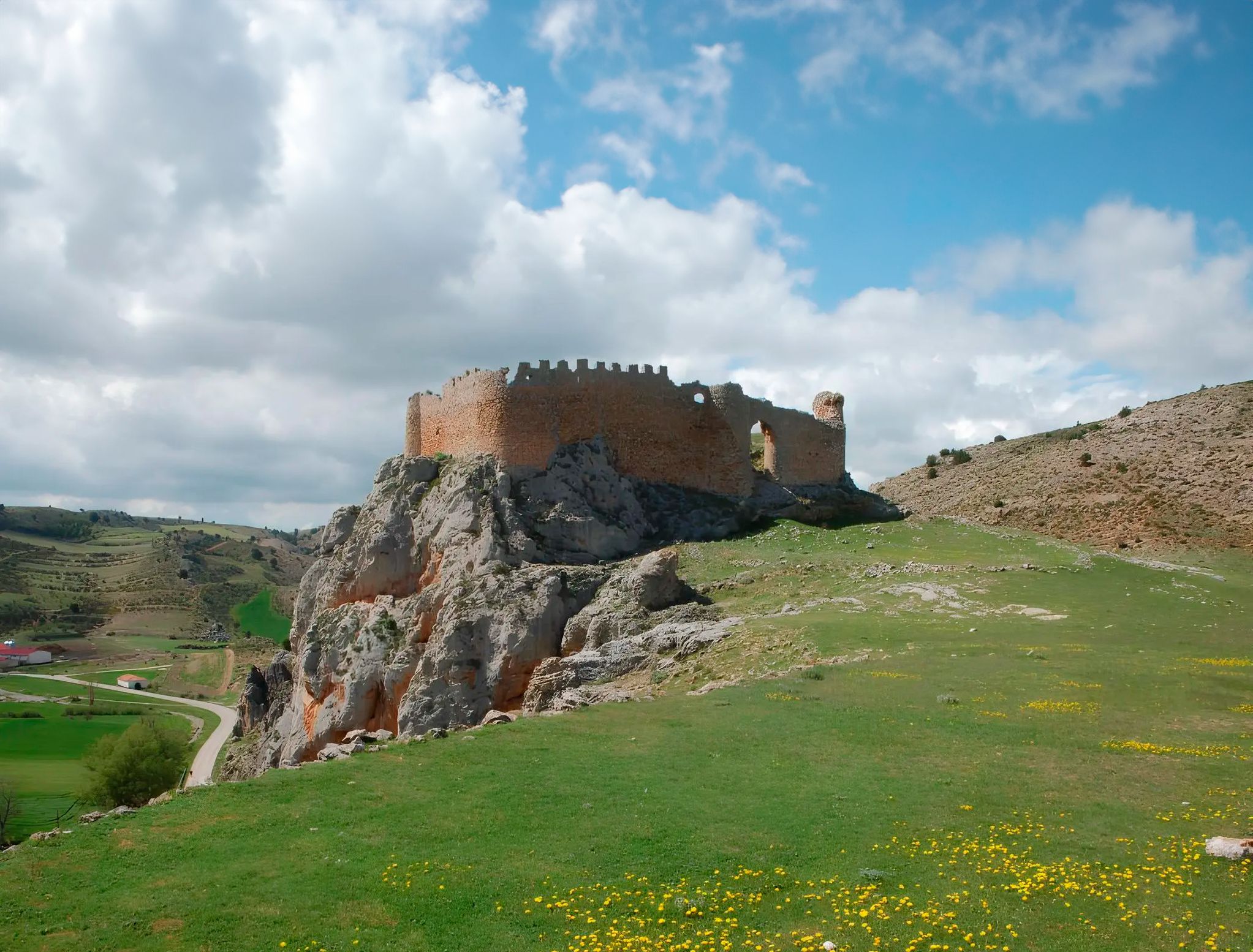
Around the Spanish province of Soria - Sendero Ibérico Soriano (GR 86)
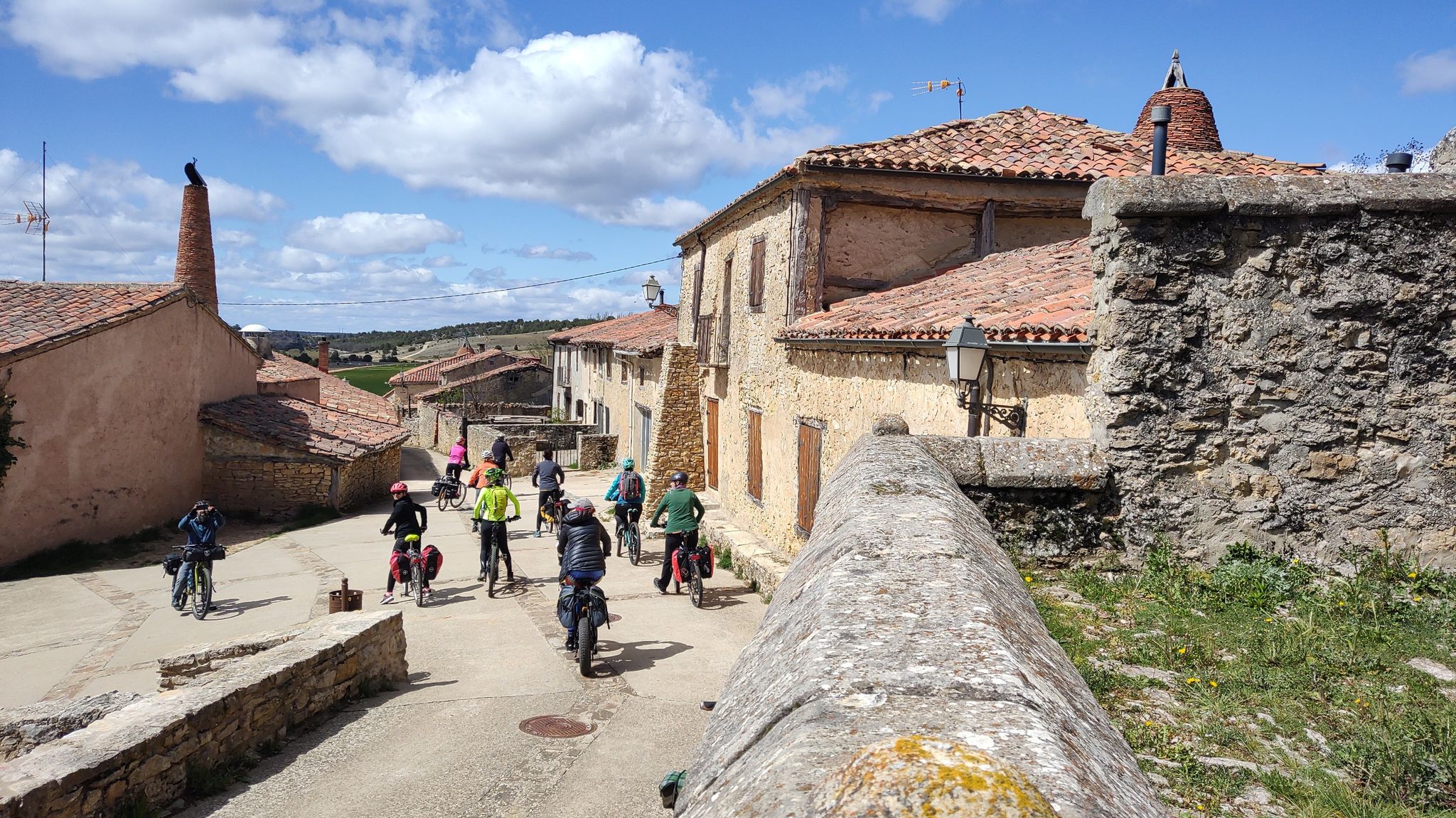
Millennial treasures on pedals – Romanesque art of Soria by MTB
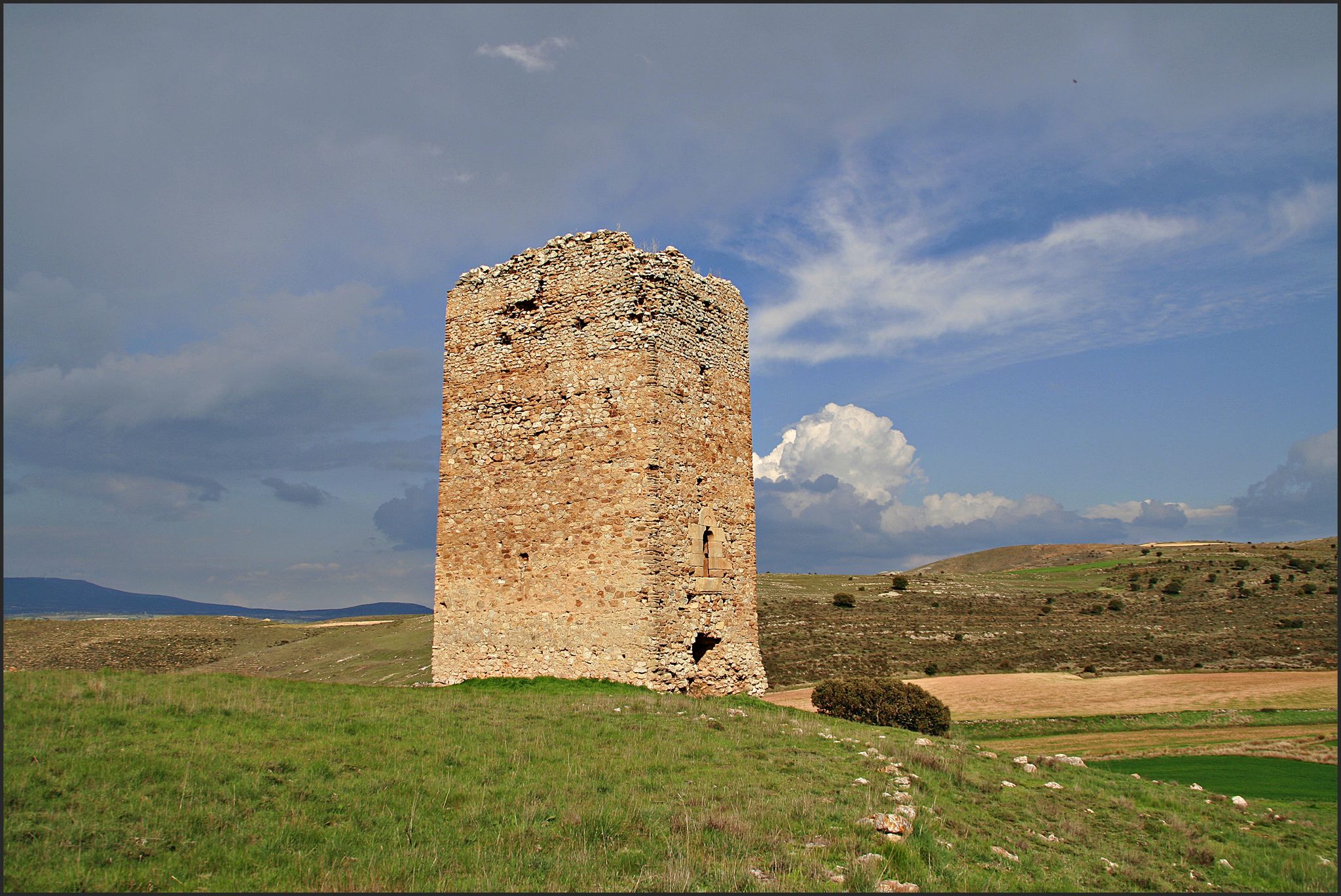
The Duero to the Ebro – Soriano Water Natural Trail
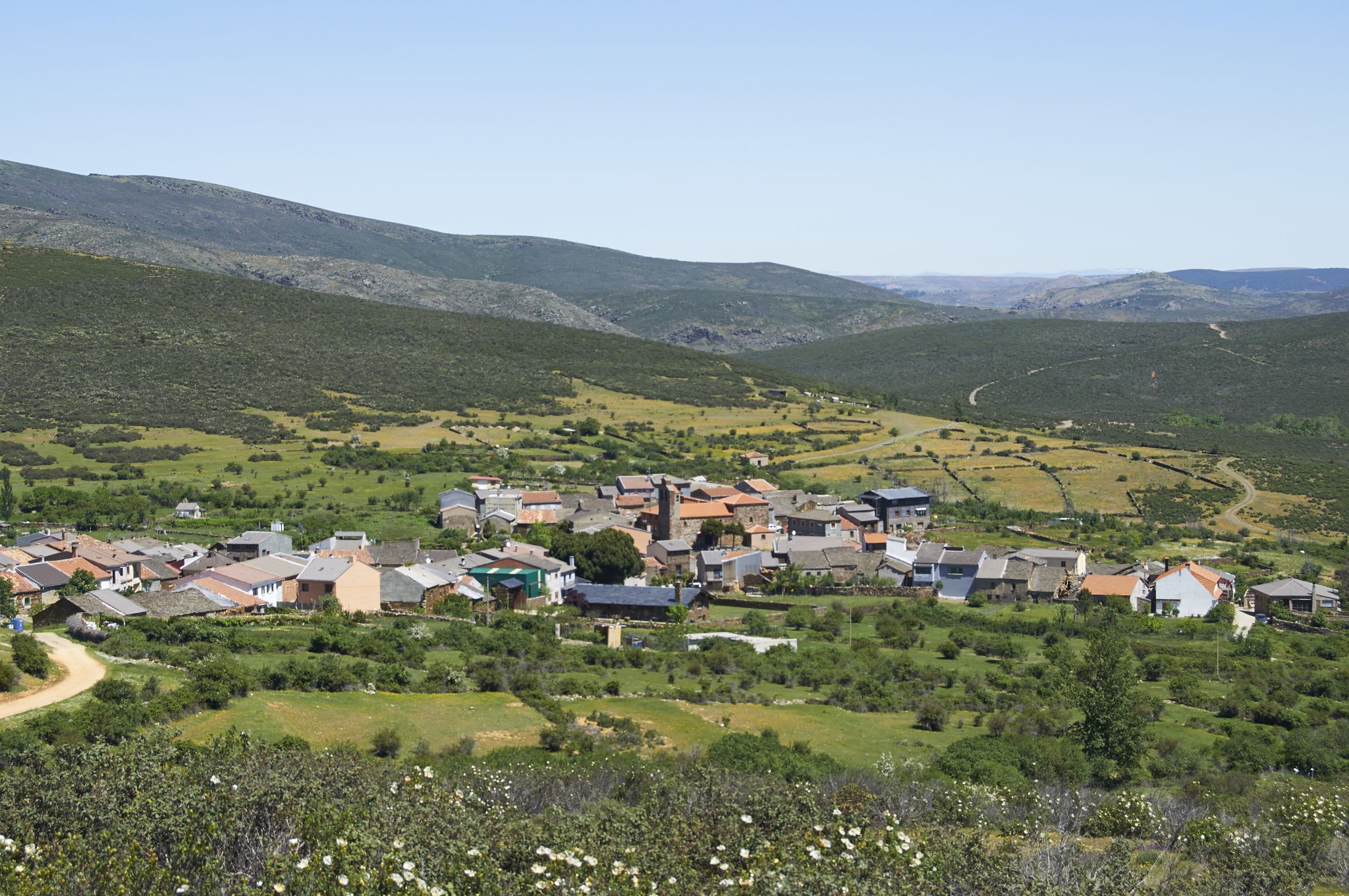
Tierras de Frontera on a gravel bike – El Camino del Cid
El Camino del Cid – The Borderlands on MTB
Camino del Cid by bicycle — frontier lands in Spain
Hiking around Campo De Gomara
Road Cycling Routes around Campo De Gomara
Cycling around Campo De Gomara
Other adventures around Campo De Gomara


Tips from the Community

It is worth visiting the source, and the waterfalls that form nearby
0
0

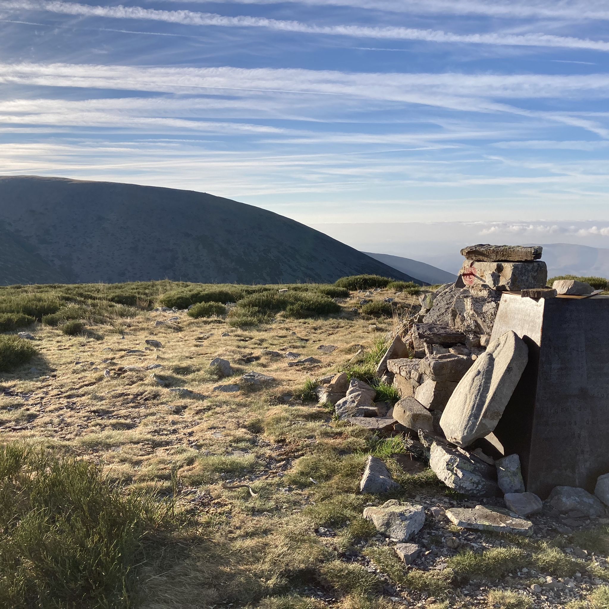
The summit of Moncayo, also known as Pico San Miguel, is the highest mountain in the Iberian system, with an altitude of 2315 metres. It is located between the provinces of Zaragoza (Aragon) and Soria (Castile and Leon) in Spain. To reach the summit, many hikers start from the Sanctuary of the Virgin of Moncayo, located at 1621 metres. From there, the route passes through the Cucharón cirque and the San Miguel basin before reaching the summit. The route offers spectacular views and is especially popular in spring and summer.
5
0

The Aguaviva Fountain is the main character of the cast, but there are also tables with benches (and shade) where you can have a good time. There is also another Fountain-Water Trough a little further towards the village. The Hermitage of San Roque is nearby.
1
0
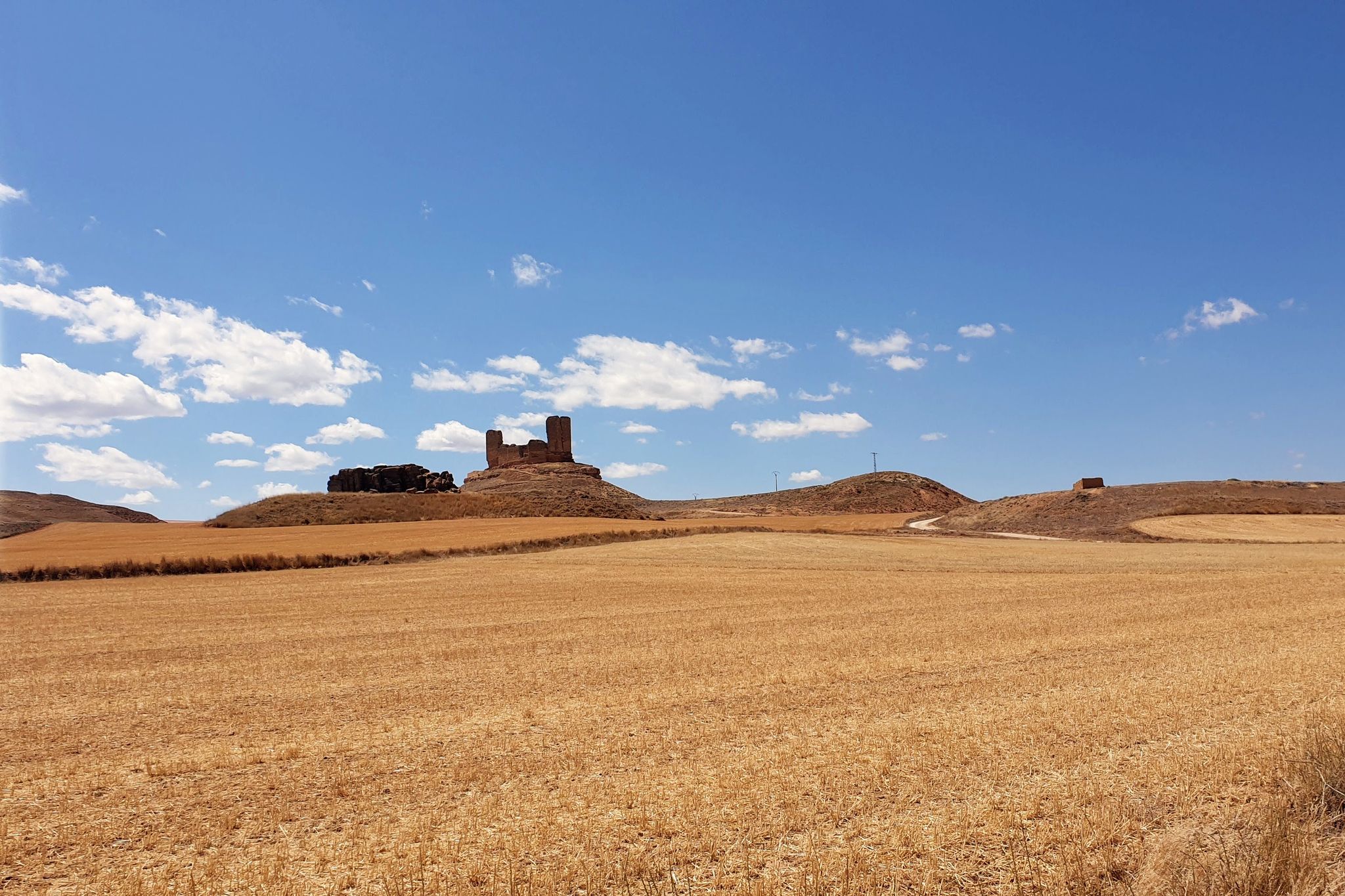
These are several separate formations. It is convenient to see them from above and below, (although there is no path).
1
0
It is the second most important water source in Europe, reaching 3 cubic meters per second. It flows from a cave in an explosive, bustling, gushing way. Fish farms and power plants have been established near the source. The path between Vozmediano and the source is very beautiful.
0
0
Moncayo never disappoints. From Cueva de Agreda the climb is longer and harder, but it is worth the sacrifice. The views from the summit, towards Aragon and towards Castilla, are impressive.
1
0

Aldehuela de Periáñez is surprisingly beautiful and monumental for its small size. The church of San Juan Bautista and the town hall building stand out especially. In addition, here you find a fountain that, although it has the sign of untreated water, is highly recommended by locals.
0
0

No matter how much the sign says about untreated water... the wisest people in the area recommend its consumption.
0
0
Frequently Asked Questions
What are some unique natural features to explore around Campo de Gómara?
Beyond the well-known summits, you can discover the impressive Pozo de las Truchas Waterfall, a peaceful spot in the Cañón del Río Val with an accessible path. Another unique feature is the Source of the Queiles River, known as the second most important water source in Europe, where water gushes explosively from a cave.
Are there family-friendly natural monuments or activities in the Campo de Gómara area?
Yes, several natural spots are suitable for families. The path to the Pozo de las Truchas Waterfall is well-maintained and accessible, making it ideal for a tranquil family hike. The Source of the Queiles River and the Source of the Isuela River are also considered family-friendly, offering pleasant natural settings. Additionally, the Fuente de Aguaviva and Recreation Area provides facilities for a family outing.
What kind of wildlife can be spotted near the natural monuments of Campo de Gómara?
The region is rich in biodiversity. Around the Moncayo Natural Park, you might spot wild boars, roebuck, golden eagles, and other raptors. The Altos de los Campos de Gómara, a Special Protection Area for Birds (ZEPA), is particularly rewarding for birdwatching, with important breeding populations of steppeland birds like the little bustard and the pin-tailed sandgrouse.
What are the best viewpoints for panoramic scenery in the region?
For breathtaking panoramic views, the Moncayo Summit offers splendid vistas from the highest point of the Sistema Ibérico. Another excellent spot is Peña del Tío Fresquito, which provides rewarding views of the Val valley after a short climb. The Peña Negrilla Summit also offers impressive views, particularly as the northernmost summit of the Sierra del Moncayo.
Are there challenging hiking trails near the natural monuments?
Yes, the region offers several challenging hikes. The ascent to the Moncayo Summit is a demanding but rewarding experience, passing through beautiful oak forests. You can find more challenging routes, such as the 'Moncayo from Cueva de Ágreda Trail' or the 'Peña Negrilla Loop', by exploring the hiking guide for Campo de Gómara.
What is the best time of year to visit the natural monuments around Campo de Gómara?
The best time to visit largely depends on your preferred activities. For hiking the higher summits like Moncayo, spring and summer (June to September) offer the most favorable conditions, though snow can cover the highest points between October and May. For birdwatching in the Altos de los Campos de Gómara, spring is ideal for observing breeding populations. Generally, spring and autumn provide pleasant temperatures for exploring the diverse landscapes.
Are there any natural rock formations worth seeing?
Yes, the Carravieja Rock Formations are a notable natural monument in the area. These formations offer a unique geological sight and can be part of a more challenging exploration.
What types of forests can be found in the Campo de Gómara area?
The region features diverse forest types. The Moncayo Natural Park is known for its beautiful oak forests, and higher up, you'll find beech, holm oak, pine, and juniper. The Quejigares de Gómara-Nágima area is particularly significant for its holm oak forests (*quejigares*), which are important natural ecosystems for local flora and fauna.
Can I find easy walking trails near the natural monuments?
Yes, there are easier options available. The path to the Pozo de las Truchas Waterfall is accessible and suitable for a relaxed walk. For more easy trails, you can consult the easy hikes guide for Campo de Gómara, which includes routes like the 'Machadian Places of Soria Trail' and 'Postiguillo Walk'.
What other outdoor activities are available near these natural monuments?
Besides hiking, the area around Campo de Gómara offers cycling opportunities. You can explore various routes, from easy to difficult, such as the 'Estepa de San Juan — circular' or sections of the 'Santander-Mediterranean Greenway'. For detailed cycling routes, refer to the cycling guide for Campo de Gómara.
Are there any historical or cultural sites integrated with the natural landscape?
While primarily focused on natural beauty, the area does have some points of interest that blend with the landscape. For example, Aldehuela de Periáñez is a settlement that includes religious buildings and historical elements within a natural setting. The Alto de Las Cabezas Geodetic Point is also a man-made monument situated on a summit, offering both natural views and a historical marker.
Most popular routes around Campo De Gomara
Most popular attractions around Campo De Gomara

Get inspired with the komoot mobile app


Didn’t find what you were looking for?
Find even more amazing natural monuments around Campo De Gomara by checking out the top Highlights region by region:
Explore more
Extend your search for the best caves by checking out these guides of the top ones around Campo De Gomara:
