Top 18 Natural Monuments around Pontorson
Best natural monuments around Pontorson include a diverse landscape shaped by tidal forces and river systems. The region is characterized by the iconic Mont Saint-Michel, a tidal island with unique geological features and a significant tidal range. Nearby, the Marais de Sougeal offers marshlands rich in wildlife, while the Couesnon River plays a crucial role in the ecosystem of the Mont Saint-Michel bay. These natural features provide opportunities for exploring the area's geology, ecology, and historical significance.
Best natural monuments…
Last updated: June 22, 2026
Mont Saint-Michel
Highlight • Religious Site
Translated by Google •
Tip by

Couesnon dike
Highlight (Segment) • Cycleway
Translated by Google •
Tip by

Sign up now to discover places like this
Get recommendations on the best single tracks, peaks, & plenty of other exciting outdoor places.
Sign up for free
Saint Aubert Chapel
Highlight • Religious Site
Translated by Google •
Tip by

Grouin du Sud
Highlight • Viewpoint
Translated by Google •
Tip by

Banks of the Sélune at Pontaubault
Highlight • River
Translated by Google •
Tip by

Sign up for free to discover even more natural monuments around Pontorson.
Sign up for free
Already have an account?
Start today with a free account
Your next adventure awaits.
Login or Signup

Other adventures around Pontorson

Tips from the Community

Many visitors run their hand over the chapel's granite wall or briefly place their hand on it. It is said to bring: • Good luck, • Protection on journeys, • or the fulfillment of a wish. However, there is no official historical source to document this custom. It is a local tradition passed down by visitors and tour guides – similar to many pilgrimage sites.
0
0
Who was Saint Aubert? According to legend, the Archangel Michael appeared to him in a dream three times in the year 708 and instructed him to build a church on the then Mont-Tombe. Aubert considered the first two apparitions to be dreams and ignored them. On the third occasion, Michael is said to have become impatient and touched him on the forehead with his finger – so forcefully that a hole was created in his skull. This hole, supposedly created by the archangel's finger, is still shown today in the Basilica of Avranches. Only then did Aubert begin the construction of the first sanctuary, from which Mont-Saint-Michel later emerged. The statue therefore shows him as a bishop: • with a mitre on his head, • in bishop's vestments, • with his right arm raised in a gesture of blessing, • with the crozier on his shoulder.
0
0

Practice for going to the train station
0
0

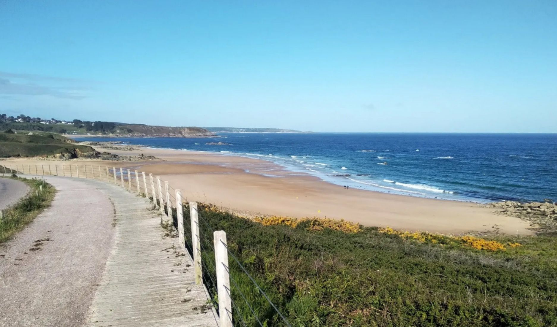
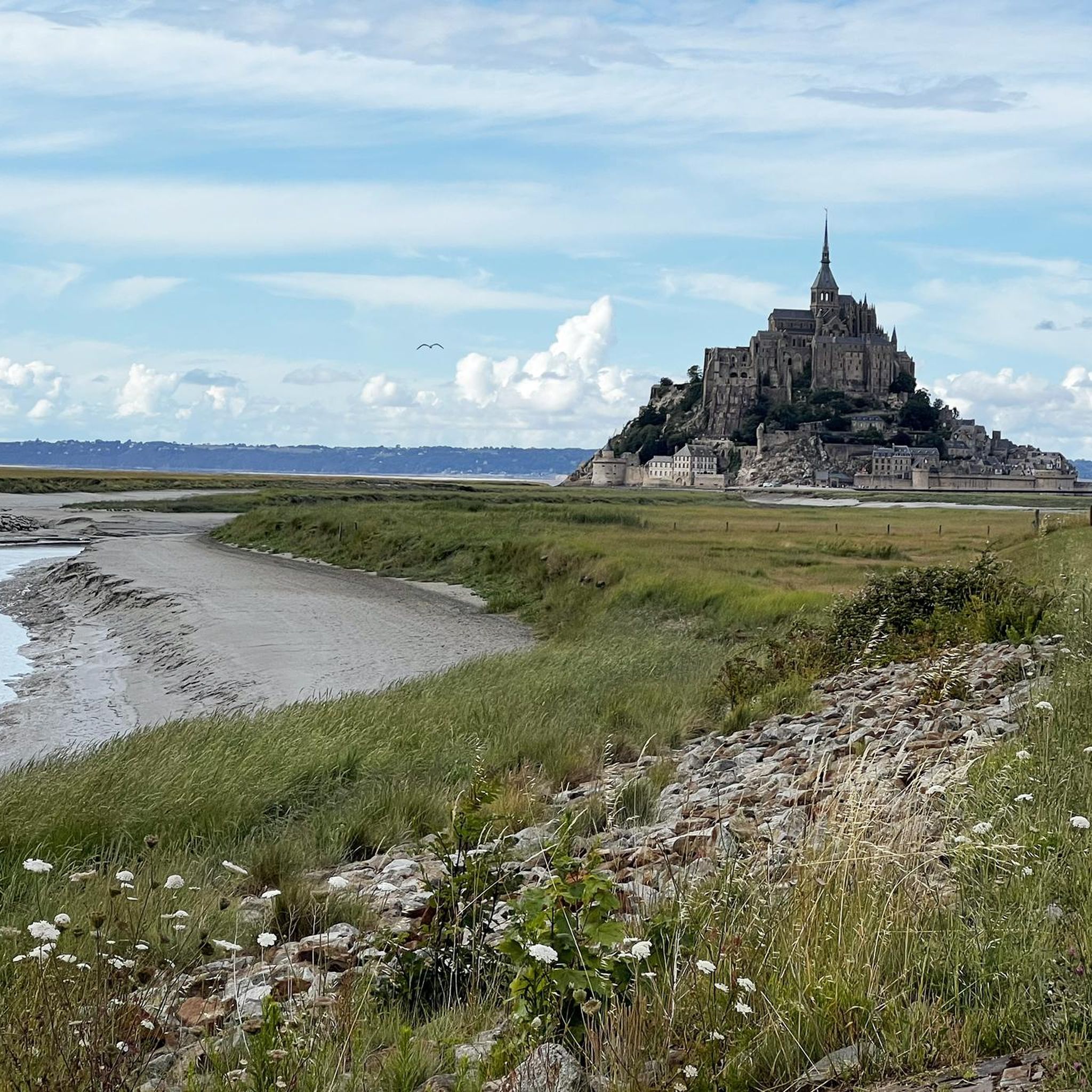
The Grouin du Sud is a natural headland offering impressive views of the bay and the famous Klosterberg. Depending on the tide, the landscape alternates between vast mudflats and ocean views, making the place particularly charming.
1
0

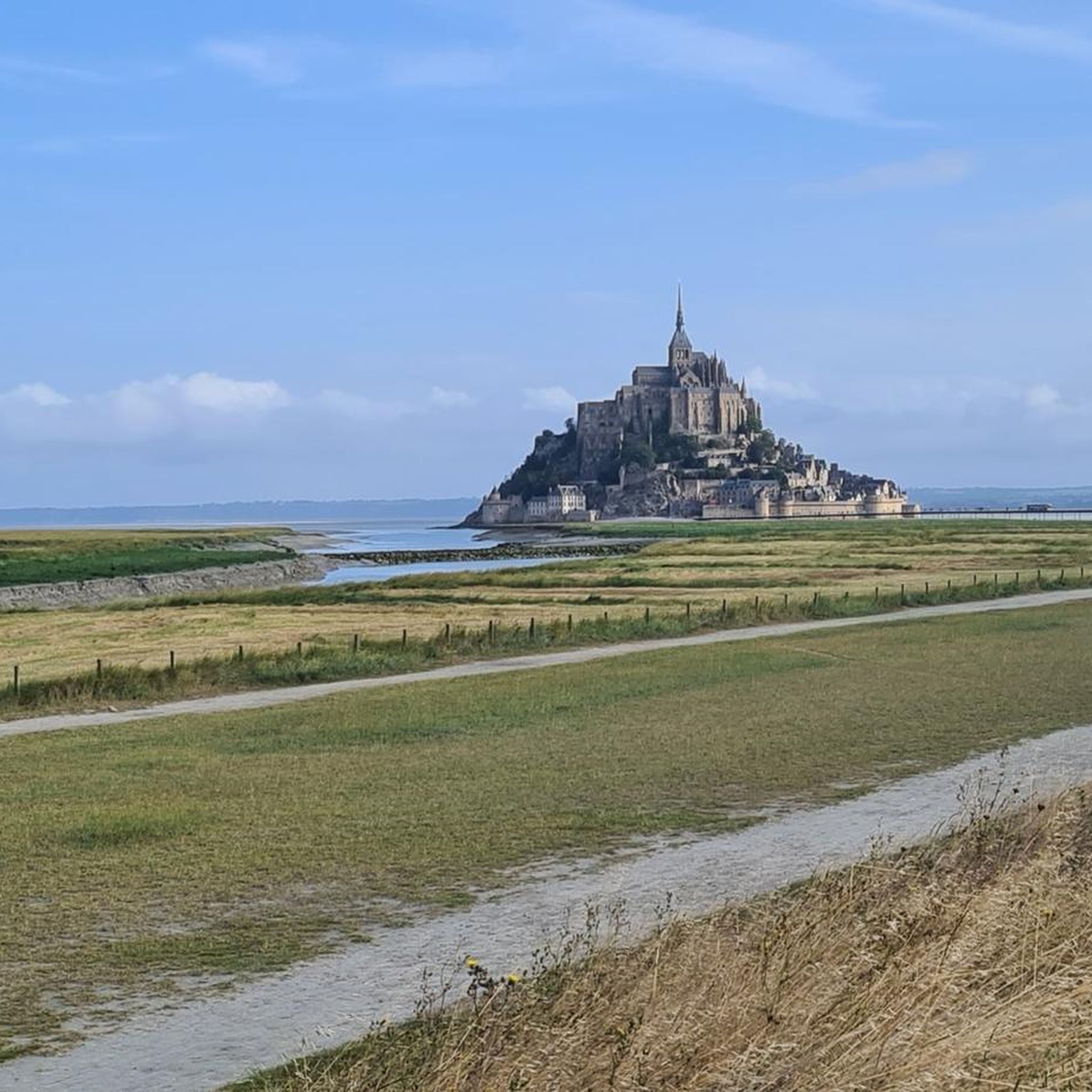
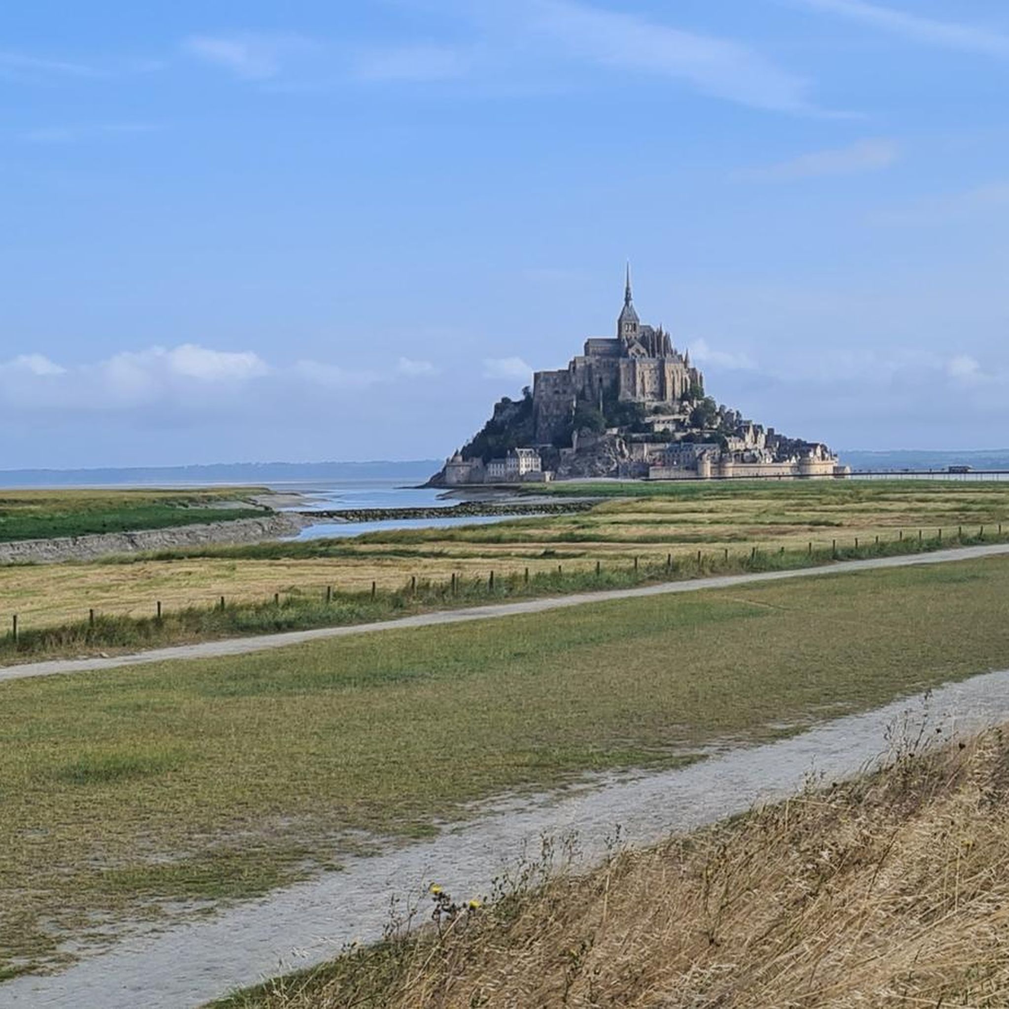
The Couesnon dike connects the mainland to Mont-Saint-Michel by crossing the polders. By bike, it offers a unique perspective of the bay and its expanses. This rolling, windy section gives the approach to the Mont its character.
0
0

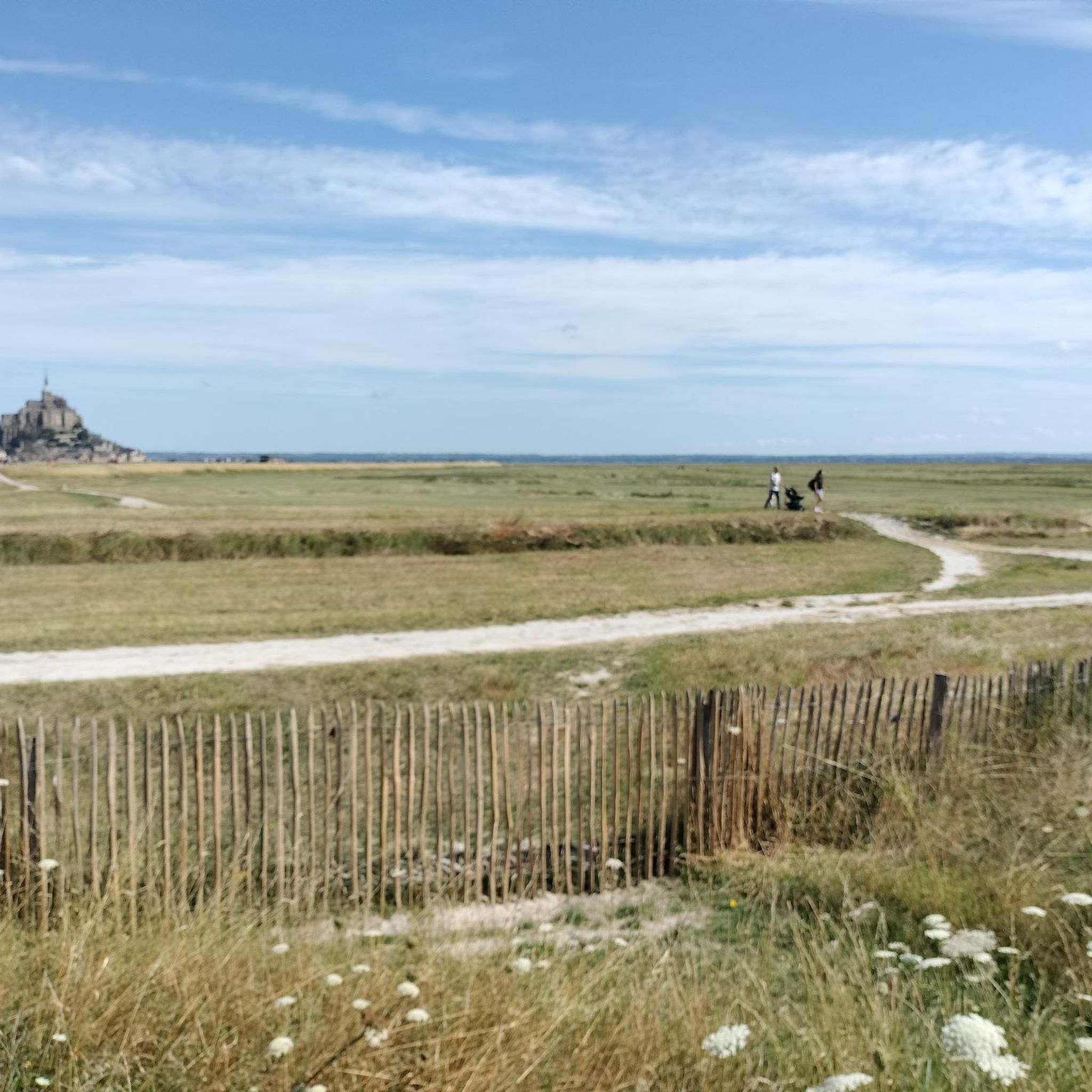
Magnificent landscape with its green pastures of salt meadows. Gradually approaching Mount Mich Mich
2
0


Nice opportunity for a break. Picnic area with a good view
2
0
Frequently Asked Questions
What are the most prominent natural monuments to visit around Pontorson?
The region around Pontorson is renowned for its unique natural features. The most iconic is undoubtedly Mont Saint-Michel, a world-renowned tidal island and UNESCO World Heritage Site, known for its dramatic tidal range and leucogranite geology. Other significant sites include Grouin du Sud, a viewpoint offering panoramic views of Mont Saint-Michel Bay, and the Banks of the Sélune at Pontaubault, where the river opens into a vast bay with salt meadows.
What unique geological features can be observed in the natural monuments near Pontorson?
The geology around Pontorson is particularly interesting due to the region's tidal nature. Mont Saint-Michel itself is a geological marvel, composed of leucogranite that solidified around 525 million years ago, making it exceptionally resistant to erosion. The bay's dramatic tidal range, with differences of roughly 14 meters, also shapes the landscape, revealing vast expanses of sand and silt.
Are there family-friendly natural monuments or activities around Pontorson?
Yes, several natural monuments around Pontorson are suitable for families. Grouin du Sud offers accessible viewpoints with stunning panoramas. The Banks of the Sélune at Pontaubault provide a pleasant setting for walks with views of the bay. Additionally, Bec d'Andaine is a beach and natural preserve, ideal for family outings and enjoying the coastal environment.
What kind of wildlife can I expect to see in the natural areas near Pontorson?
The marshlands of the Marais de Sougeal, located a short drive from Pontorson, are a significant ecological area known for their diverse wildlife. This tranquil setting is a haven for nature enthusiasts and birdwatchers, offering excellent opportunities for observing various species in their natural habitat.
What outdoor activities can I do near these natural monuments?
The region offers a variety of outdoor activities. You can explore numerous hiking routes, including the 'Customs Officers' Path to Mont Saint-Michel', or enjoy cycling and gravel biking along the Couesnon River. For more options, check out the dedicated guides for hiking, cycling, and gravel biking around Pontorson.
Are there specific hiking trails that offer views of Mont Saint-Michel?
Yes, several trails provide excellent views of Mont Saint-Michel. The 'Customs Officers' Path to Mont Saint-Michel' is a popular easy hike. The walking and cycling routes along the Couesnon River also offer magnificent views, particularly as you approach the famous islet. For more hiking options, refer to the hiking guide for Pontorson.
What is the best time to visit the natural monuments around Pontorson?
The best time to visit depends on your preferences. Spring and early autumn generally offer pleasant weather for outdoor activities and fewer crowds. The dramatic tidal changes, a defining feature of the Mont Saint-Michel bay, can be observed year-round, but checking tide schedules is recommended for the full experience.
Can I visit historical sites alongside natural monuments in the Pontorson area?
Absolutely. Mont Saint-Michel is both a natural monument and a profound historical and religious site, with its abbey and medieval town. Additionally, the Saint Aubert Chapel, located on the northwest side of the island, is another historical religious building beautifully situated on the rocks.
How does the Couesnon River contribute to the natural landscape of the region?
The Couesnon River flows through Pontorson and is crucial to the ecosystem of the Mont Saint-Michel bay. Historically marking the border between Normandy and Brittany, a dam on the Couesnon now regulates water flow to combat silting in the bay, working in harmony with the natural tides. Its banks are also popular for walking and cycling, offering scenic views.
Are there any hidden natural gems or less-known spots worth exploring near Pontorson?
Beyond the main attractions, the polders surrounding the area represent a significant natural landscape, shaped by both natural processes and human intervention. These vast reclaimed lands offer a unique perspective on the region's interaction with the sea and provide tranquil settings for exploration away from the main tourist routes.
What do visitors enjoy most about the natural monuments around Pontorson?
Visitors frequently express awe at the breathtaking natural phenomenon of the tides at Mont Saint-Michel, which transforms the mount into an island. The panoramic views from spots like Grouin du Sud are also highly appreciated. Many enjoy the peaceful atmosphere and wildlife observation opportunities in areas like the Marais de Sougeal, and the scenic walks along the Couesnon River towards Mont Saint-Michel.
Most popular routes around Pontorson
Most popular attractions around Pontorson

Get inspired with the komoot mobile app


Explore more
Extend your search for the best caves by checking out these guides of the top ones around Pontorson:
