The 10 Most Amazing Peaks around Boswil
Best mountain peaks around Boswil are characterized by rolling hills and diverse hiking trails rather than towering summits. The region offers elevated points and scenic routes, including unique geological formations. While Boswil itself does not host traditional mountain peaks, the surrounding Aargau canton provides access to higher elevations. These areas offer varied experiences for nature enthusiasts and hikers.
Best mountain peaks around Boswil
- The most popular mountain peaks is Highest Point of Lindenberg (681 m), a summit that is…
Last updated: August 17, 2026
Highest point of the Lindenberg (878 m)
Highlight • Summit
Translated by Google •
Tip by

Seerose Hotel & Restaurant
Highlight • Restaurant
Translated by Google •
Tip by

Sign up now to discover places like this
Get recommendations on the best single tracks, peaks, & plenty of other exciting outdoor places.
Sign up for free
Mosen Railway Station
Highlight • Rest Area
Translated by Google •
Tip by

Stiefeliryter Inn and Open-Air Museum, Hämikerberg
Highlight • Restaurant
Translated by Google •
Tip by

Highest point in the Lenzburg district (712 m above sea level)
Highlight (Segment) • Summit
Translated by Google •
Tip by

Sign up for free to discover even more peaks around Boswil.
Sign up for free
Already have an account?
Start today with a free account
Your next adventure awaits.
Login or Signup
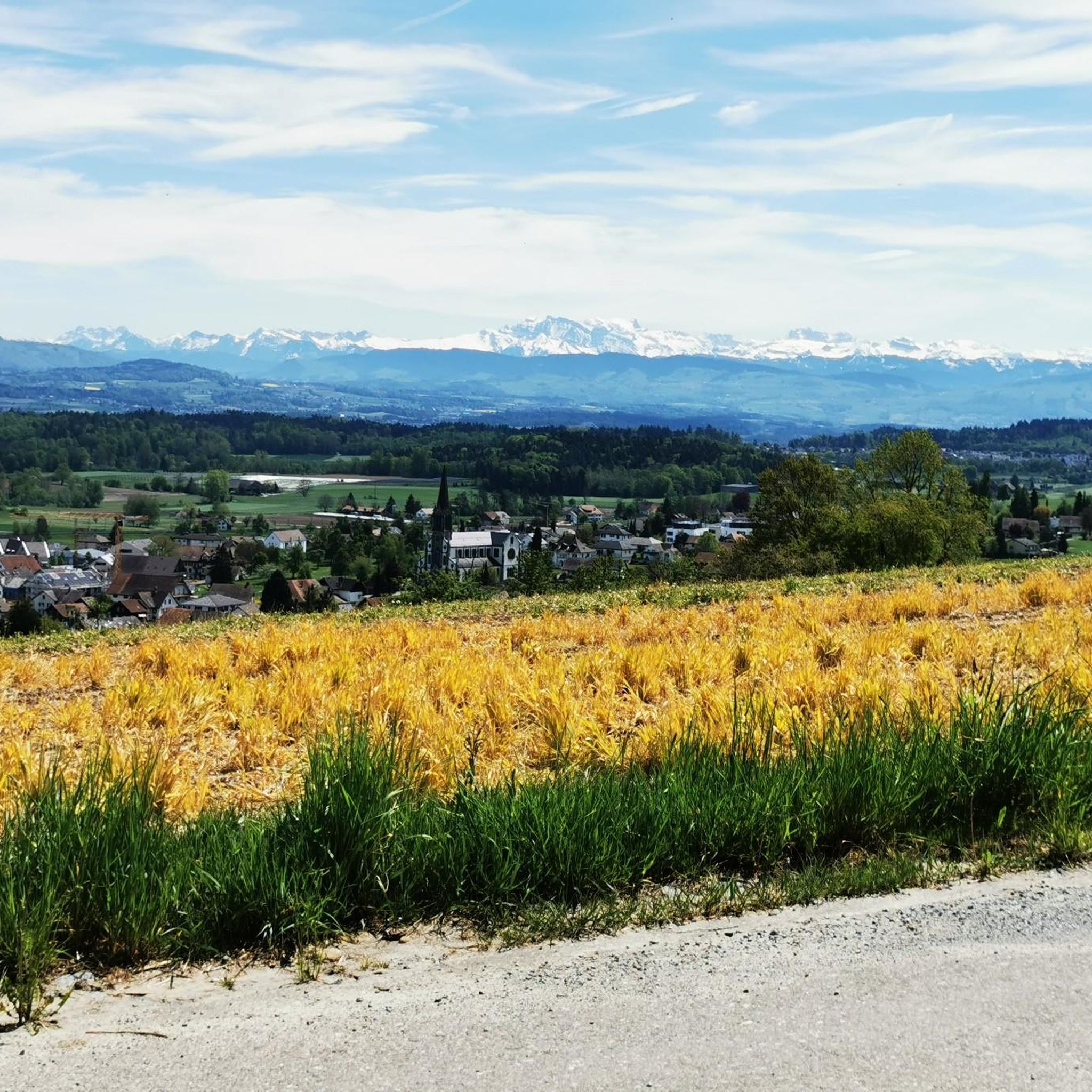
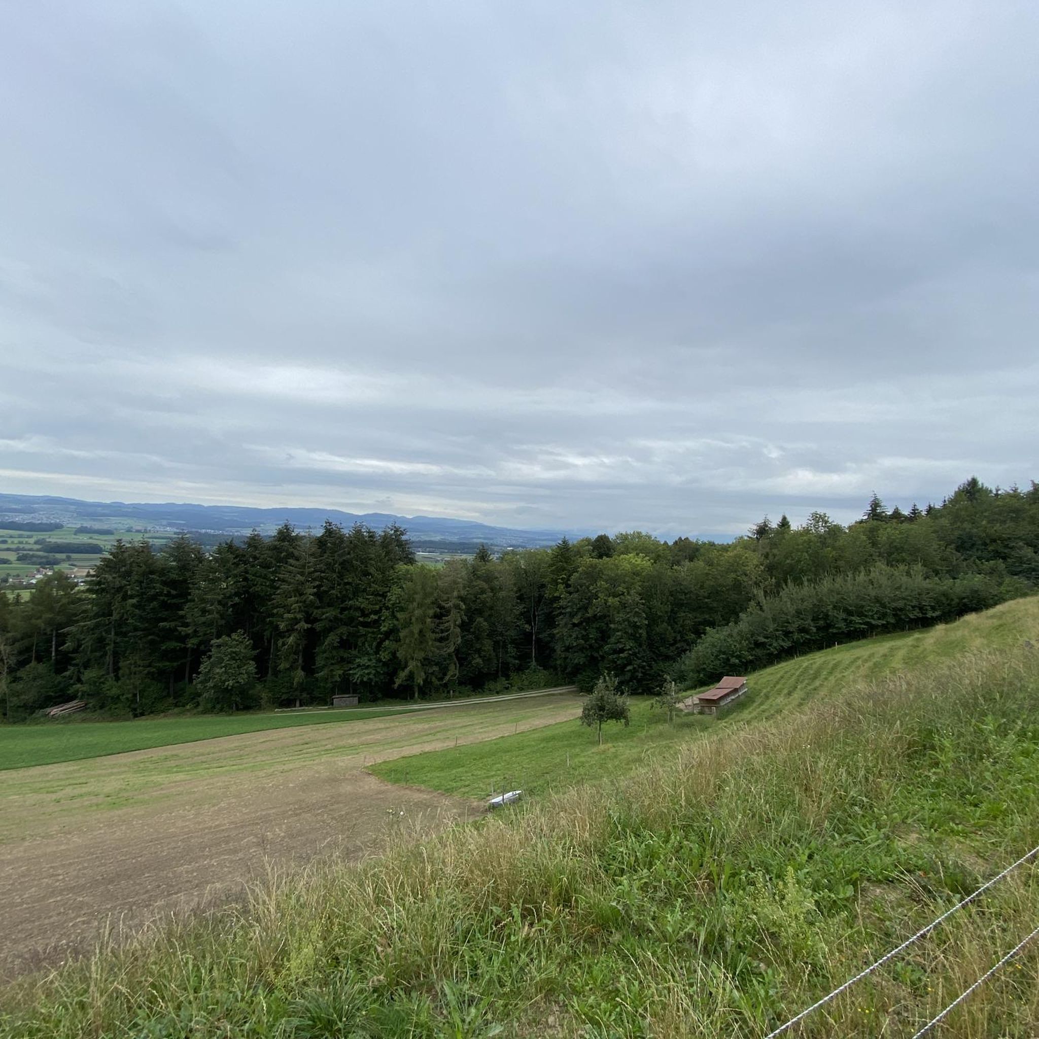
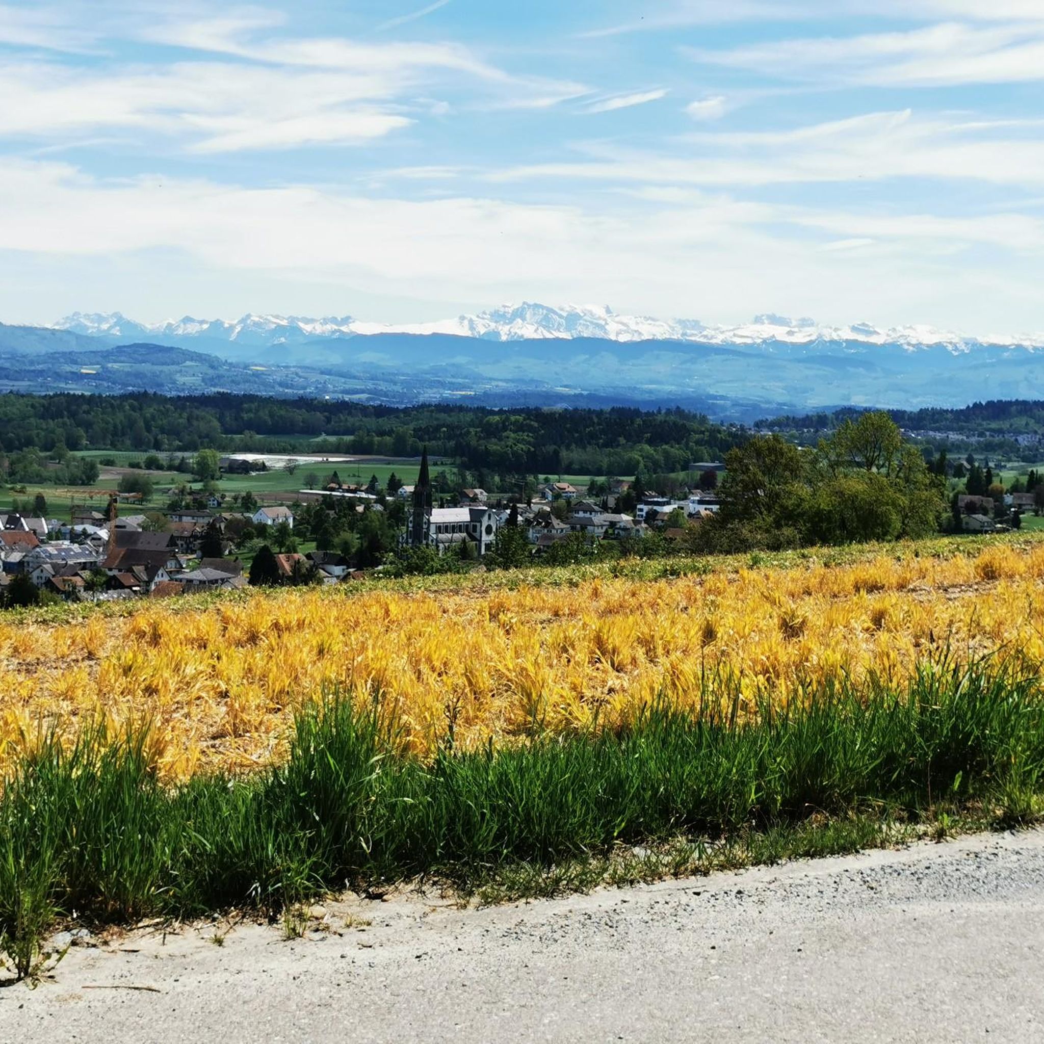
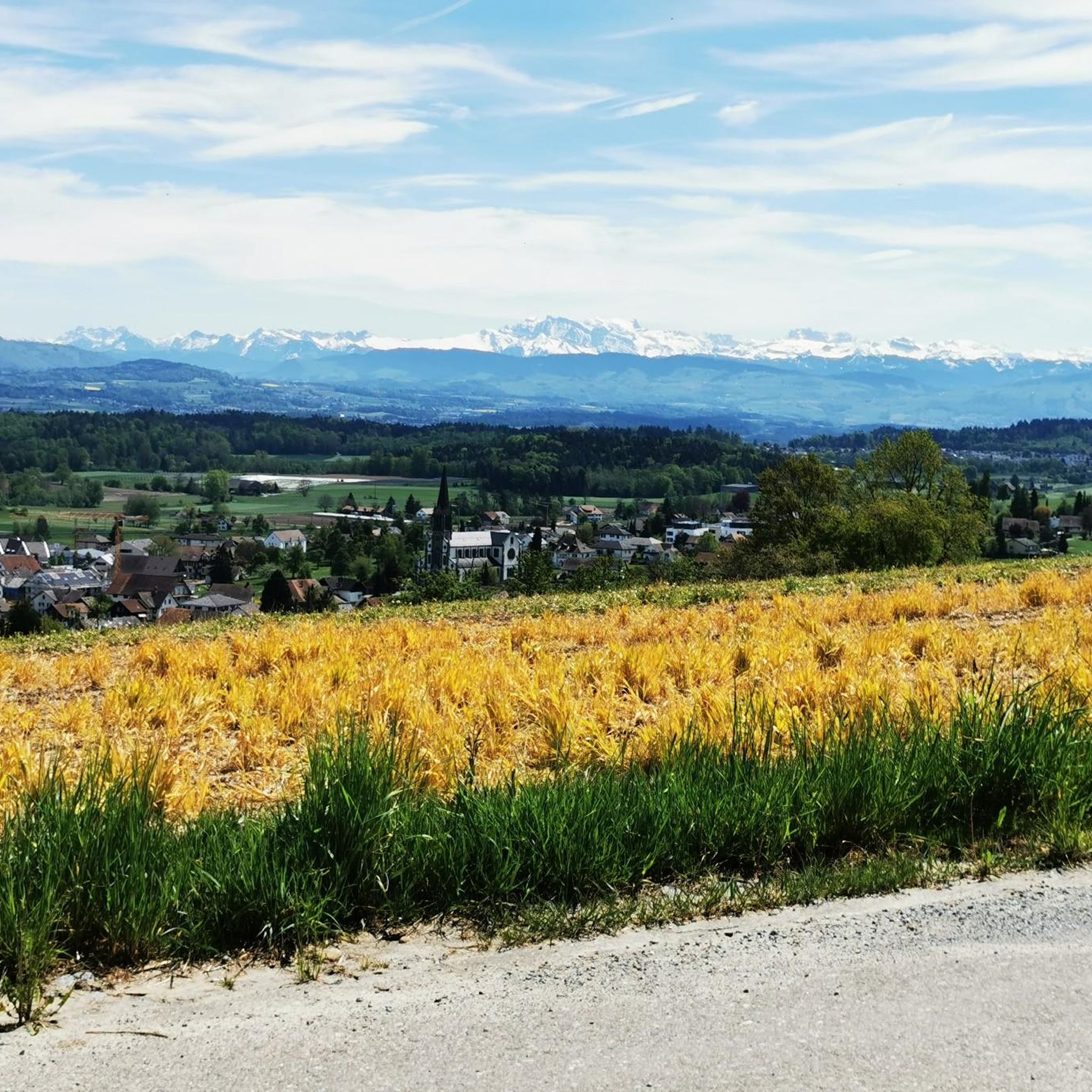

Tips from the Community

not too well accessible and somewhat hidden.
0
0

Currently not very easy to reach by bike as the area has been recently cut down
1
0
Hidden inconspicuously in the forest lies the highest point in the Lenzburg district.
1
0
Inconspicuous and without view, easily accessible on simple forest paths
1
0

Lindeberg Trail, the easy access, it was worth the effort.
1
0
Top of Lindenberg is a must for an AG biker to climb at least once a year
2
0
Very, very narrow, flat path-like trail
1
0

The ideal starting and ending point for circumnavigating the lake. Large parking lot available, including a swimming pool if you feel like it.
1
0
Frequently Asked Questions
What are the most notable elevated points or 'peaks' around Boswil?
While Boswil is characterized by rolling hills rather than towering mountains, several elevated points offer scenic views and hiking opportunities. The most popular is the Highest Point of Lindenberg (681 m), known for its easy accessibility. Another significant point is the Highest point of Dottikon Dreihägen (549 m above sea level), which features technical trails for hiking and biking. Further afield in the Aargau canton, the Geissfluegrat stands as the highest point at 908 meters.
Are there family-friendly hiking options among the elevated points near Boswil?
Yes, the Highest Point of Lindenberg (681 m) is considered an easy climb with diverse approaches, making it suitable for families. Additionally, the Stiefeliryter Inn and Open-Air Museum, Hämikerberg, while not a peak itself, is a family-friendly historical site with a restaurant and open-air museum, often visited in conjunction with local trails.
What kind of natural features can I expect to see on trails around Boswil?
The region around Boswil offers diverse natural landscapes. You can expect to encounter rolling hills, forests, and unique geological formations such as the Erdmannlistein erratic blocks, which are part of a scenic hiking trail. Trails often feature lush vegetation, and some areas, like the Lindenberg, are known for many springs and can be wet after rainy days.
Are there any historical or cultural sites near the elevated points?
Yes, the Stiefeliryter Inn and Open-Air Museum, Hämikerberg is a notable historical site. It began as a Hippotel in 1965 and now features a restaurant, an open-air museum, and a game golf facility. The Erdmannlistein erratic blocks, while natural, are also believed by some to have served as a prehistoric cult site, adding a historical and legendary dimension to the hiking experience.
What outdoor activities are popular near Boswil's elevated areas?
The area around Boswil is excellent for various outdoor activities. Cycling is very popular, with routes like the 'Egelsee – Reuss View loop' and 'Hallwyl Castle – View of Lenzburg Castle loop' available for touring bicycles. Gravel biking is also prominent, with routes such as the 'Bünz River – Aare River at Schinznach-Bad loop'. For runners, there are numerous trails, including the 'Grotto shrine with altar – Grotto of the Virgin Mary loop'. You can find more details on these activities in the Cycling around Boswil, Gravel biking around Boswil, and Running Trails around Boswil guides.
Are there specific hiking trails that include the unique geological features mentioned?
Yes, the 'Erdmannlistein - Boswil - Wohlen' hiking trail, approximately 19.2 km long, specifically features the impressive Erdmannlistein erratic blocks. This trail offers a journey through natural landscapes and cultural diversity, making it a worthwhile visit for those interested in geology and local legends.
What is the highest point in the broader Aargau canton and how can I access it?
The highest point in the broader Aargau canton is the Geissfluegrat, standing at 908 meters. This ridge is part of the Jura Höhenweg, a long-distance hiking trail that traverses Switzerland. A segment of this trail within the Jurapark Aargau offers hikers an experience with significant ascents and descents over approximately 20 km.
What do visitors particularly enjoy about the elevated points and trails around Boswil?
Visitors appreciate the diverse approaches and easy accessibility of points like the Highest Point of Lindenberg (681 m), often meeting bikers on the trails. The Highest point of Dottikon Dreihägen (549 m above sea level) is enjoyed for its technical sections, which are great for improving skills whether hiking or biking. The overall variety of elevated points and hiking opportunities is highly valued by the komoot community.
Are there any trails suitable for more technical hiking or biking near Boswil?
Yes, the Highest point of Dottikon Dreihägen (549 m above sea level) is known for its technical trails. These paths are strongly rooted, rough, and feature lush vegetation, providing challenging sections for both hiking and biking enthusiasts looking to improve their skills.
How can I reach the starting points for hikes around Boswil using public transport?
Public transport options are available. For example, Mosen Railway Station is a good starting point for various tours, including the circumnavigation of Lake Hallwil. The S-Bahn runs approximately once an hour, connecting to many beautiful destinations. It's advisable to check local schedules for specific trailheads.
What is the best time of year to explore the elevated points and trails near Boswil?
The region offers diverse experiences throughout the year. While specific seasonal conditions can vary, the trails are generally enjoyable in spring, summer, and autumn. After rainy days, some areas, particularly on the Lindenberg, can be wet due to numerous springs. Winter hiking is also possible on certain trails, but conditions should be checked beforehand.
Are there any circular hiking routes around Boswil?
Yes, the region offers several circular routes. For instance, the 'Erdmannlistein - Boswil - Wohlen' trail is a circular route that takes you through natural landscapes and past the unique erratic blocks. Additionally, many of the cycling and running routes listed in the Cycling around Boswil and Running Trails around Boswil guides are designed as loops, providing varied options for exploring the area.
Most popular attractions around Boswil

Get inspired with the komoot mobile app


Explore more
See even more amazing summits around Boswil with these guides:
