Top 6 Natural Monuments around Villeneuve-D'Entraunes
Natural monuments around Villeneuve-D'Entraunes are situated within the Alpes-Maritimes department, offering access to significant natural areas. The village serves as a gateway to the Gorges de Daluis, known for its distinctive red rock formations, and is located within the expansive Mercantour National Park. This region features diverse landscapes, from high peaks and glacial lakes to unique geological formations. The natural environment provides a setting for various outdoor activities.
Best natural monuments around Villeneuve-D'Entraunes
- The most popular natural monuments is Champs…
Last updated: July 5, 2026
Champs Pass
Highlight • Viewpoint
Translated by Google •
Tip by

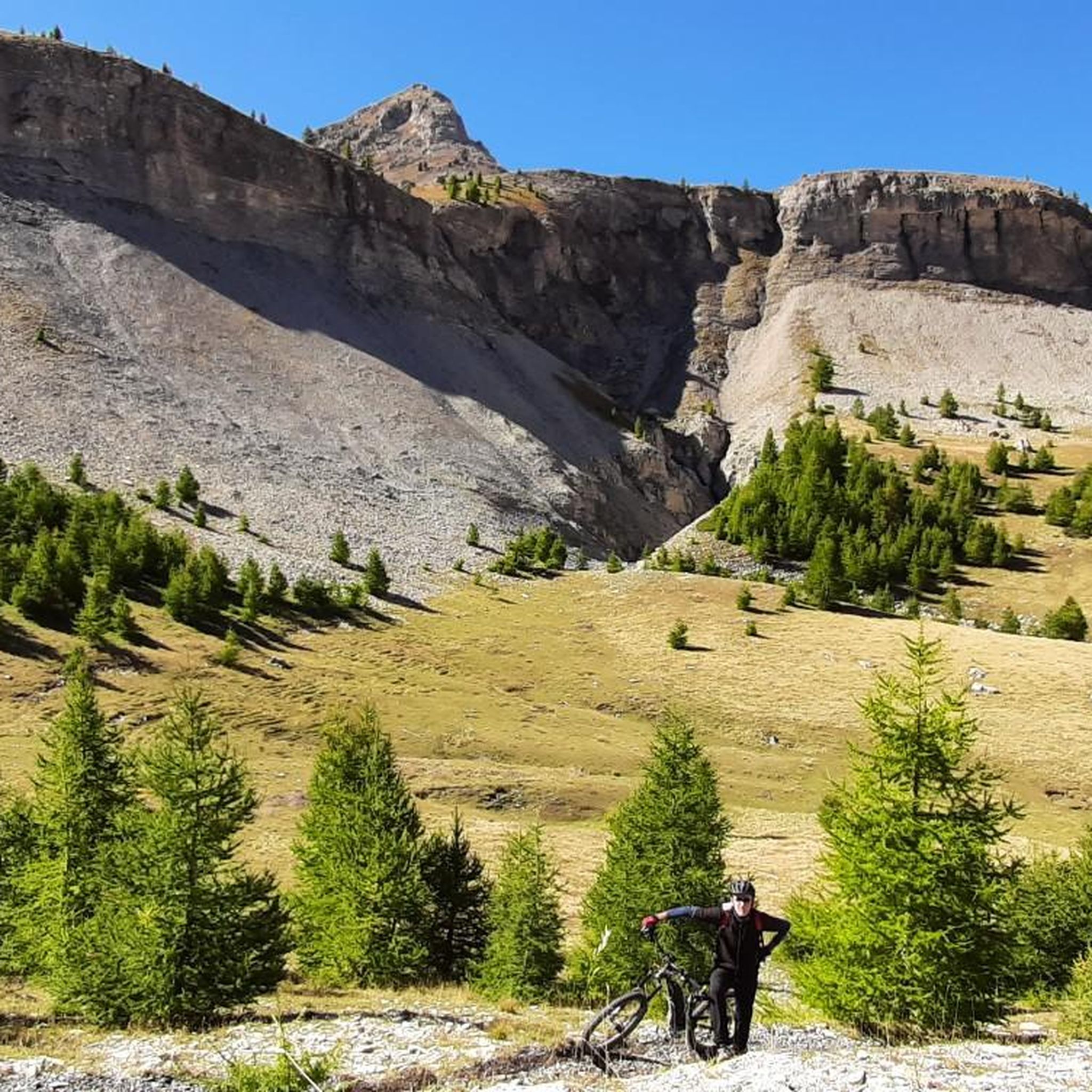
Red Slate Plateau
Highlight • Natural Monument
Translated by Google •
Tip by

Sign up now to discover places like this
Get recommendations on the best single tracks, peaks, & plenty of other exciting outdoor places.
Sign up for free
Lacs de Lignin
Highlight • Lake
Translated by Google •
Tip by

Péone Rock Formations
Highlight • Natural Monument
Translated by Google •
Tip by

Gorges de Daluis
Highlight • Gorge
Translated by Google •
Tip by

Start today with a free account
Your next adventure awaits.
Login or Signup
Tips from the Community

Gorgeous pass with very little traffic and perfect asphalt.
18
0
A long climb but never too difficult, the views are stunning.
17
0
Very long climb with wonderful views.
16
0
A very long climb with little traffic, the asphalt is in perfect condition and the gradients are never too steep.
15
0


Classified as a Natura 2000 area, the Lignin lakes are of glacial origin. Located on the high plateaus at more than 2,200 meters of latitude, they are not permanent and the smaller of the two lakes dries up during the summer, giving way to more or less humid areas.
0
0

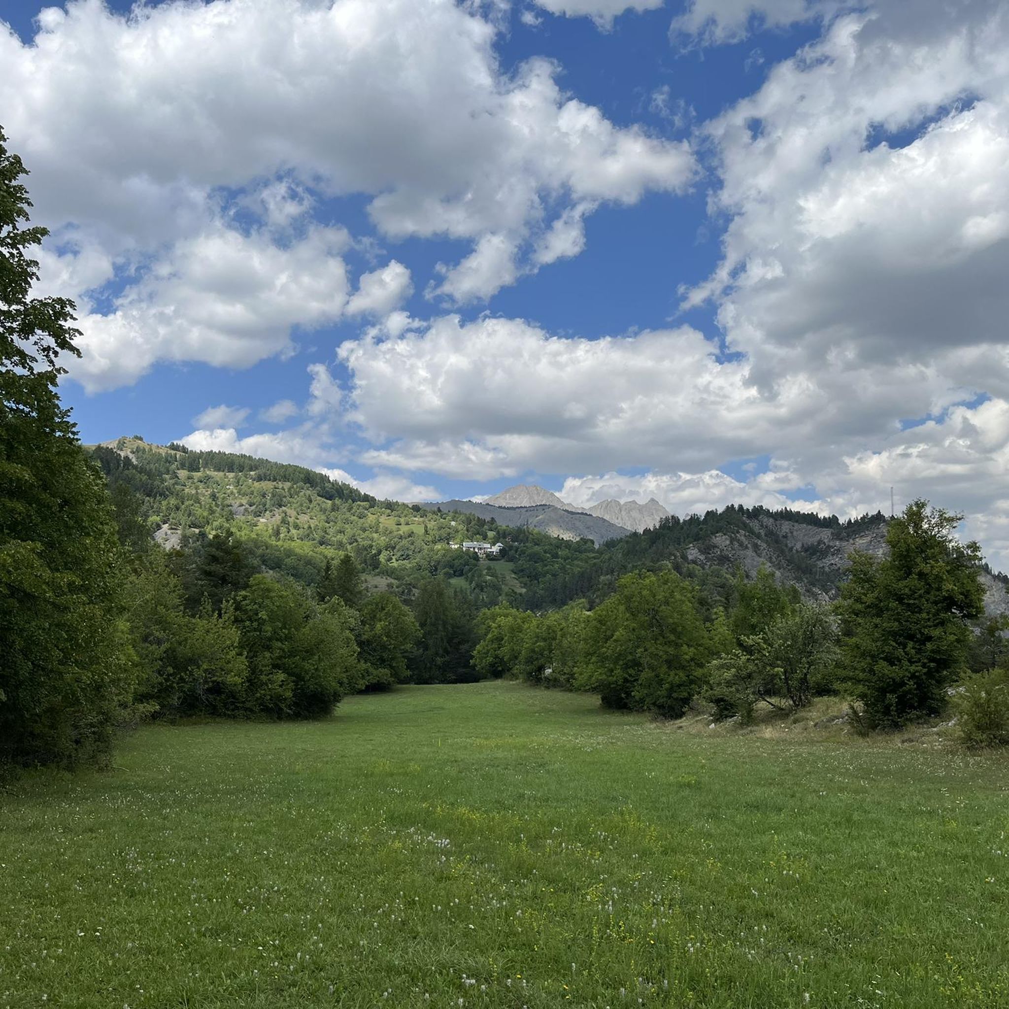
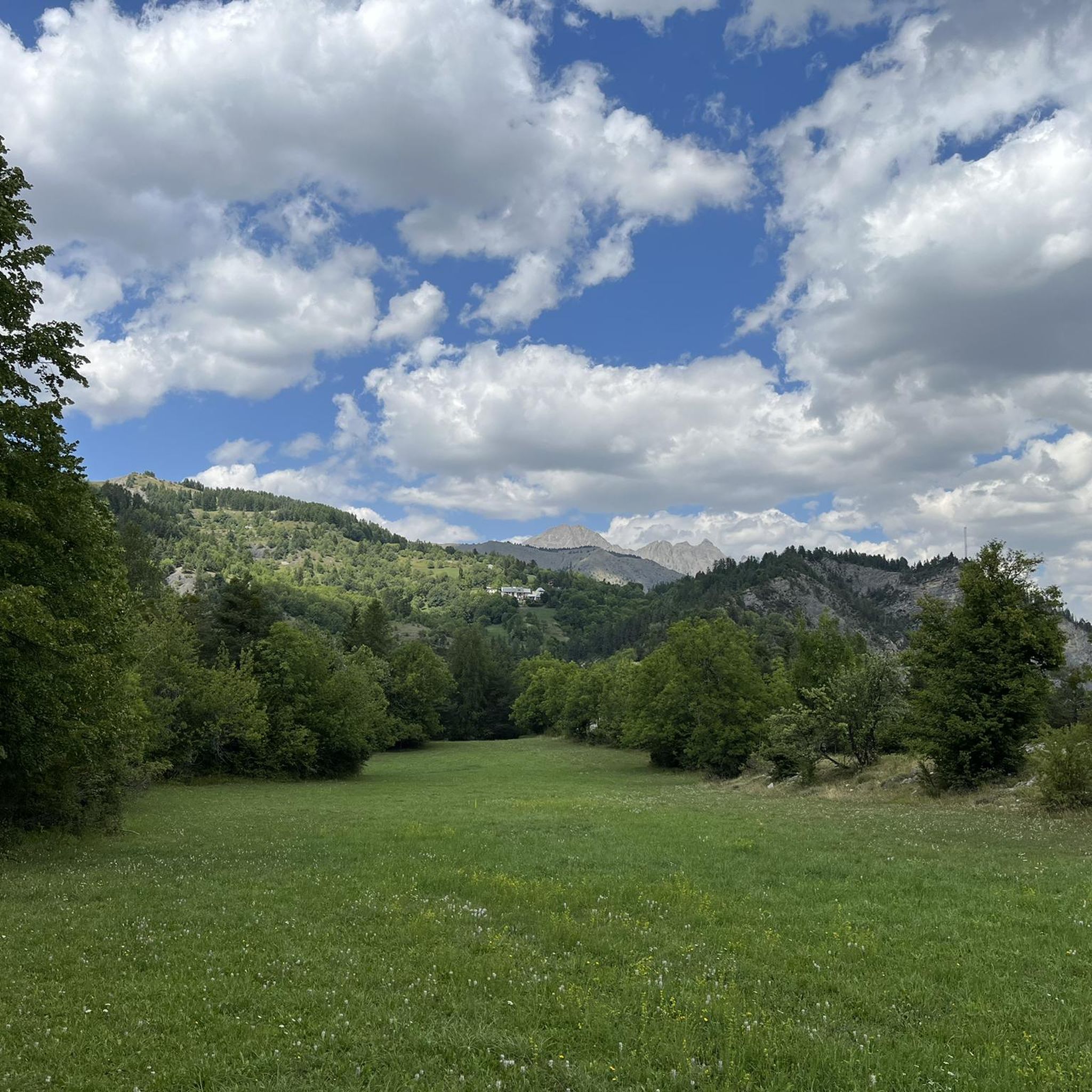
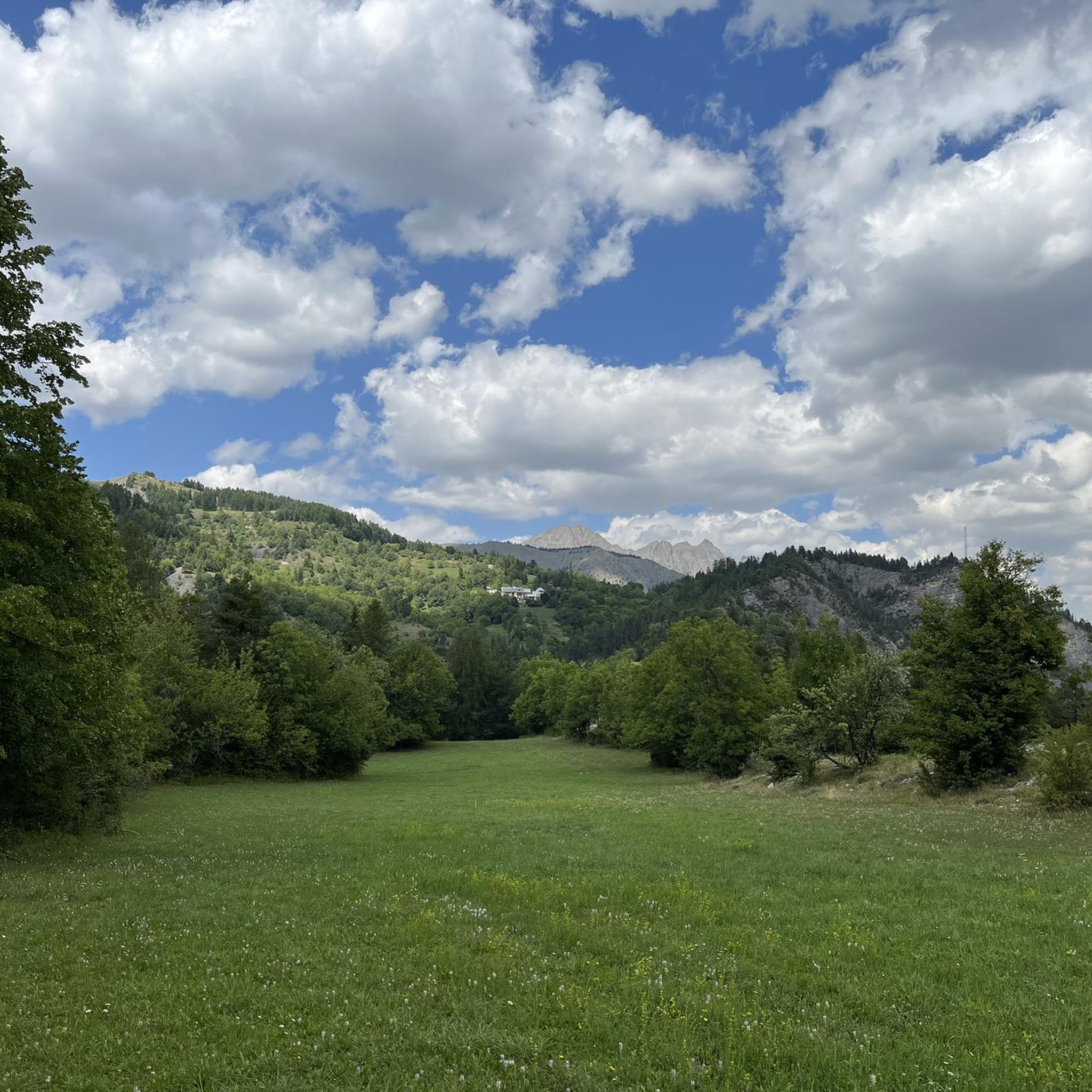
By the side from Colmars, it offers an 11.5 km climb with an average gradient of 7.2% rather regular, except for the very end on the flat. Culminating at an altitude of 2,087 m, it marks the passage between the departments of Alpes-de-Haute-Provence and Alpes-Maritimes, linking the valleys of Verdon and Var. As its name seems to indicate, it is a pass little used by cars which takes the time to walk in a territory that is still wild. It begins with hairpin bends winding through a forest of larches and pines, and opening in places onto clearings that are sometimes cultivated. At the exit of the forest massif, it then crosses magnificent high mountain landscapes which are somewhat reminiscent of the Dolomites. A very nice collar, a must.
4
0
Here by the side from Colmars, it offers an 11.5 km climb with an average gradient of 7.2% rather regular, except for the very end on the flat. Culminating at an altitude of 2,087 m, it marks the passage between the departments of Alpes-de-Haute-Provence and Alpes-Maritimes, linking the valleys of Verdon and Var. As its name seems to indicate, it is a pass little used by cars which takes the time to walk in a territory that is still wild. It begins with hairpin bends winding through a forest of larches and pines, and opening in places onto clearings that are sometimes cultivated. At the exit of the forest massif, it then crosses magnificent high mountain landscapes which are somewhat reminiscent of the Dolomites. A very nice collar, a must.
4
0
Frequently Asked Questions
What are the most distinctive natural features around Villeneuve-D'Entraunes?
The region is renowned for its dramatic landscapes. Key features include the striking red rock formations of the Gorges de Daluis, often called the 'Colorado of Nice', and the diverse terrain within the Mercantour National Park. You can also discover glacial lakes like Lacs de Lignin and unique rock formations such as those found in Péone.
What makes the Gorges de Daluis a significant natural monument?
The Gorges de Daluis are characterized by their spectacular red pelite rock formations, which date back 270 million years. The vivid burgundy color, resulting from oxidized iron, creates a stunning contrast with the Var River. Notable sights include the 'Tête de Femme' rock formation and the 'Pont de la Mariée', an arched bridge offering breathtaking views. It's also the first classified nature reserve in the Alpes-Maritimes.
What can I expect to see in Mercantour National Park near Villeneuve-D'Entraunes?
Mercantour National Park offers a vast array of landscapes, from high peaks like Gélas (3,143 meters) to glacial lakes, alpine meadows, and dense forests. It's a biodiversity hotspot, home to nearly half of France's plant species and diverse wildlife including chamois, ibexes, marmots, and royal eagles. The park provides an immersive natural experience with unspoiled wilderness.
Are there unique geological formations to explore in the area?
Yes, beyond the Gorges de Daluis, you can explore the Red Slate Plateau, known for its distinctive terrain and magnificent walking opportunities. Additionally, the village of Péone is built upon striking rock formations, where old houses appear to merge with the natural stone, creating a unique visual experience.
What kind of flora and fauna can I observe in the natural monuments around Villeneuve-D'Entraunes?
The region, particularly within the Mercantour National Park and the Gorges de Daluis Nature Reserve, is rich in biodiversity. You can find nearly half of France's plant species, including protected varieties. Wildlife includes chamois, ibexes, marmots, and royal eagles. The diverse landscapes support a wide range of ecosystems, making it an excellent spot for nature observation.
Are there hiking opportunities near these natural monuments?
Absolutely. The Mercantour National Park offers numerous hiking routes suitable for all levels. For specific trails, you can explore options like those found in the cycling guide around Villeneuve-D'Entraunes, which often share paths with hikers, or look for trails leading to viewpoints like Champs Pass or the Red Slate Plateau.
What cycling routes are available near Villeneuve-D'Entraunes' natural monuments?
The area is popular for cycling, with routes like the 'Péone et Valberg – loop at the gates of the Mercantour National Park' and the 'Bride's Bridge – Daluis gorges loop from Villeneuve-d'Entraunes'. Many routes offer stunning views of the natural monuments. You can find more details in the Road Cycling Routes around Villeneuve-D'Entraunes guide.
Can I find mountain biking trails in the area?
Yes, there are several mountain biking trails. Options include the 'Col des Champs and the gray lands from Saint-Martin-d'Entraunes – loop in the Mercantour National Park' and the 'Tunnel de Bramus – Chamoussillon Summit loop from Villeneuve-d'Entraunes'. These trails allow you to experience the rugged terrain and natural beauty. Explore more in the MTB Trails around Villeneuve-D'Entraunes guide.
What is the best time of year to visit the natural monuments around Villeneuve-D'Entraunes?
The best time to visit is generally from late spring to early autumn (May to October) when the weather is mild and most trails and roads are accessible. During this period, you can fully enjoy hiking, cycling, and exploring the diverse landscapes. Winter offers opportunities for snow-related activities, but access to some higher-altitude sites may be restricted.
Are there family-friendly natural sites in the region?
Many areas within the Mercantour National Park offer trails suitable for families, with varying difficulty levels. While specific 'family-friendly' categories aren't always assigned, sites like the Lacs de Lignin offer scenic, less strenuous walks in a beautiful glacial setting. The Gorges de Daluis can be enjoyed by car with numerous viewpoints, making it accessible for families.
Is Mercantour National Park dog-friendly?
Mercantour National Park has specific regulations regarding dogs to protect its wildlife. Generally, dogs are not permitted on trails within the central zone of the park, even on a leash. However, they are often allowed in the peripheral zone and on certain designated paths. It's always best to check the specific rules for the area you plan to visit before bringing your dog.
Are there any specific viewpoints offering panoramic scenery?
Yes, the region is rich in panoramic viewpoints. Champs Pass is highly regarded for its stunning, long-range views after a scenic climb. The Gorges de Daluis also feature numerous scenic overlooks along the road, providing breathtaking perspectives of the red canyon and the Var River.
What do visitors particularly enjoy about the natural monuments here?
Visitors frequently praise the stunning scenery and the unique geological formations. The Champs Pass is loved for its 'wonderful views' and 'perfect asphalt' for cycling. The Red Slate Plateau offers a 'magnificent walk', and the Lacs de Lignin are appreciated for their 'fantastic glacial setting'. The dramatic red cliffs of the Gorges de Daluis are also a major highlight.
Most popular routes around Villeneuve-D'Entraunes
Most popular attractions around Villeneuve-D'Entraunes

Get inspired with the komoot mobile app


Explore more
Extend your search for the best caves by checking out these guides of the top ones around Villeneuve-D'Entraunes:
