Top 11 Natural Monuments around Nibas
Best natural monuments around Nibas are found within the Somme department of Hauts-de-France, a region characterized by its diverse natural landscapes. Nibas is part of the Parc naturel régional Baie de Somme - Picardie maritime, which offers a variety of coastal and inland features. This regional natural park is known for its chalk cliffs, extensive dune systems, and rich ecosystems such as calcareous grasslands and coastal marshes. The area provides opportunities to observe significant biodiversity, including a notable seal population.
…Last updated: July 5, 2026
Ault Chalk Cliffs
Highlight • Natural Monument
Translated by Google •
Tip by

Cape Hornu
Highlight • Beach
The name Cap Hornu comes from the Picard word “hornu”, which means “horned” …
Tip by
Sign up now to discover places like this
Get recommendations on the best single tracks, peaks, & plenty of other exciting outdoor places.
Sign up for free
La Cise Cliff
Highlight • Natural Monument
Translated by Google •
Tip by

Bois de Cise
Highlight • Forest
Translated by Google •
Tip by

Cliffs of Ault
Highlight • Natural Monument
Even if the city has lost its splendor, the site is impressive, because to the north, the plain of …
Translated by Google •
Tip by

Sign up for free to discover even more natural monuments around Nibas.
Sign up for free
Already have an account?
Start today with a free account
Your next adventure awaits.
Login or Signup
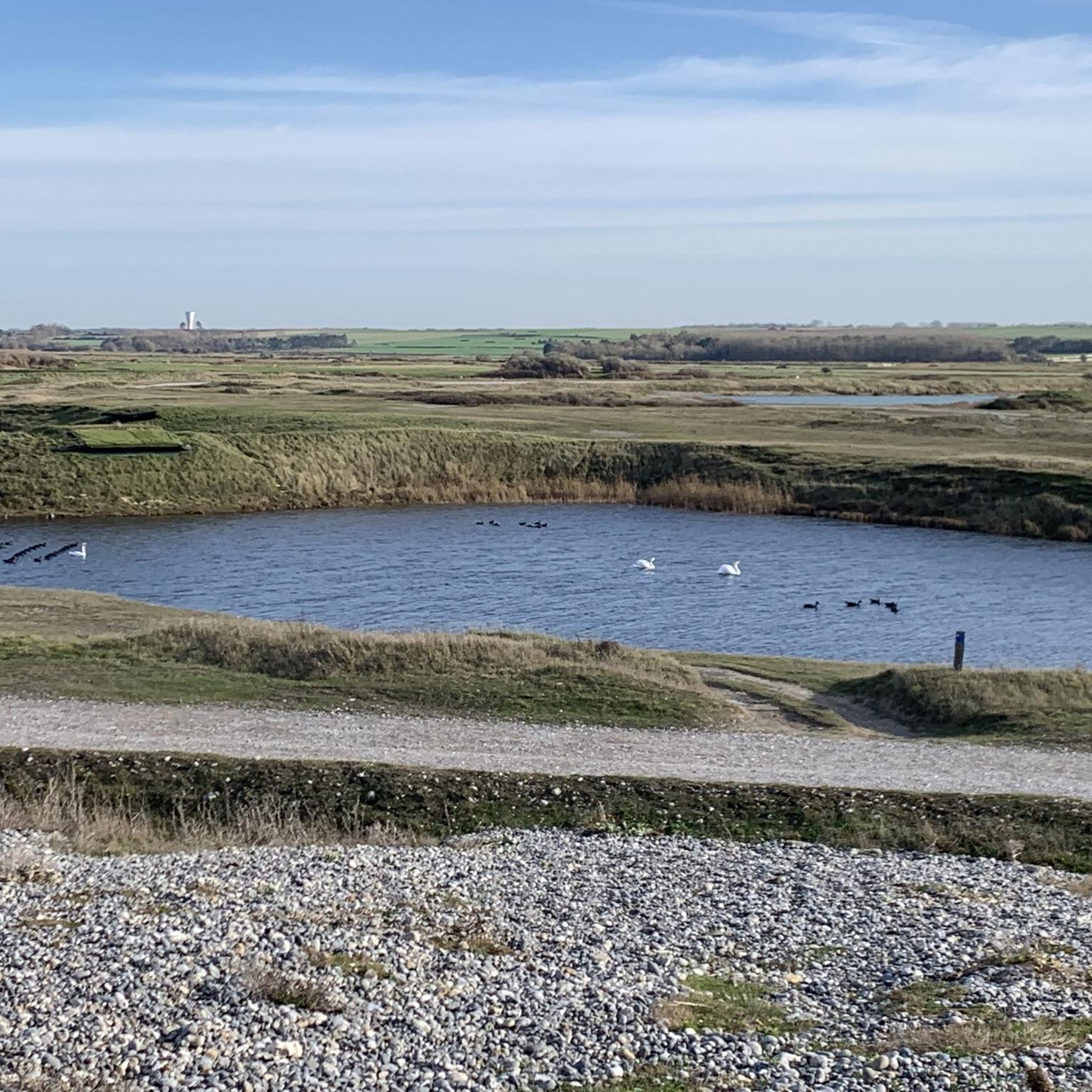

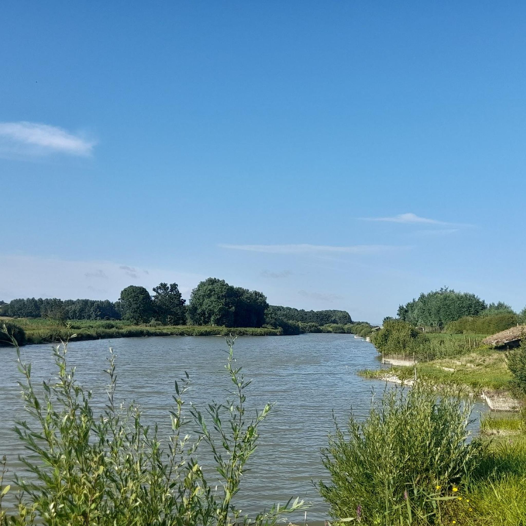
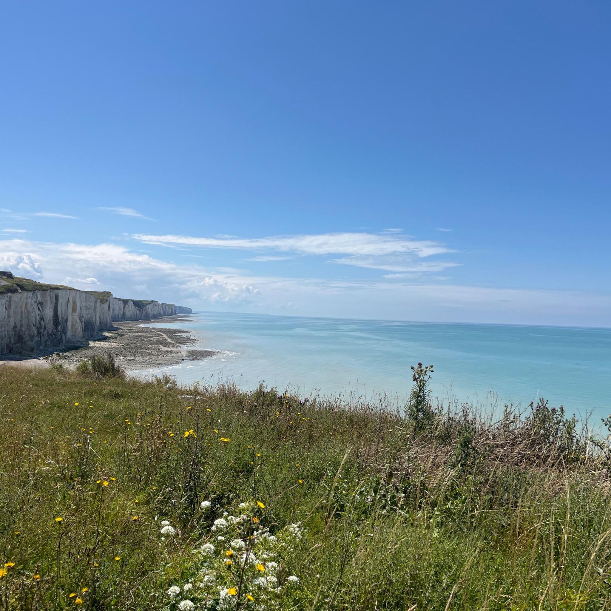
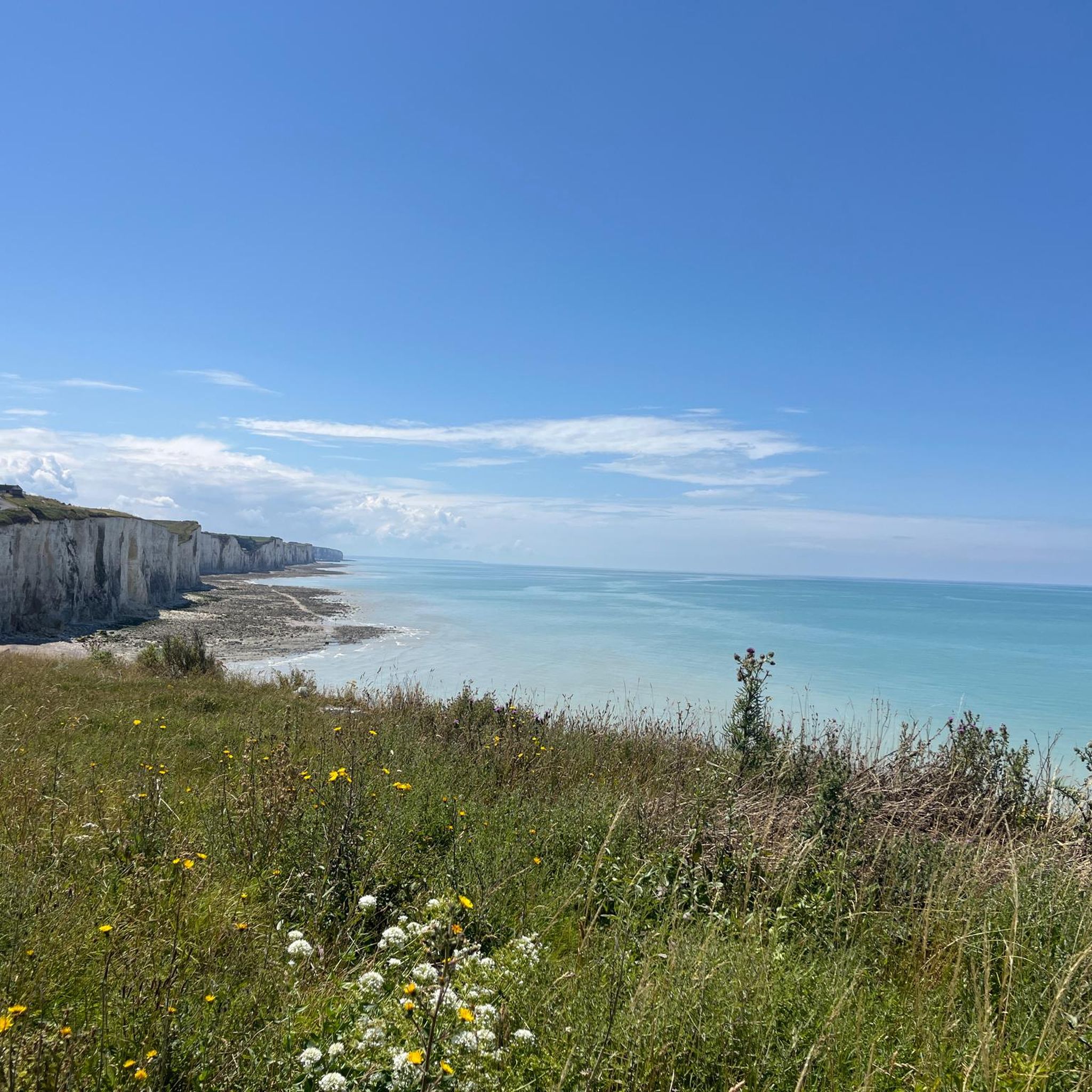
Tips from the Community


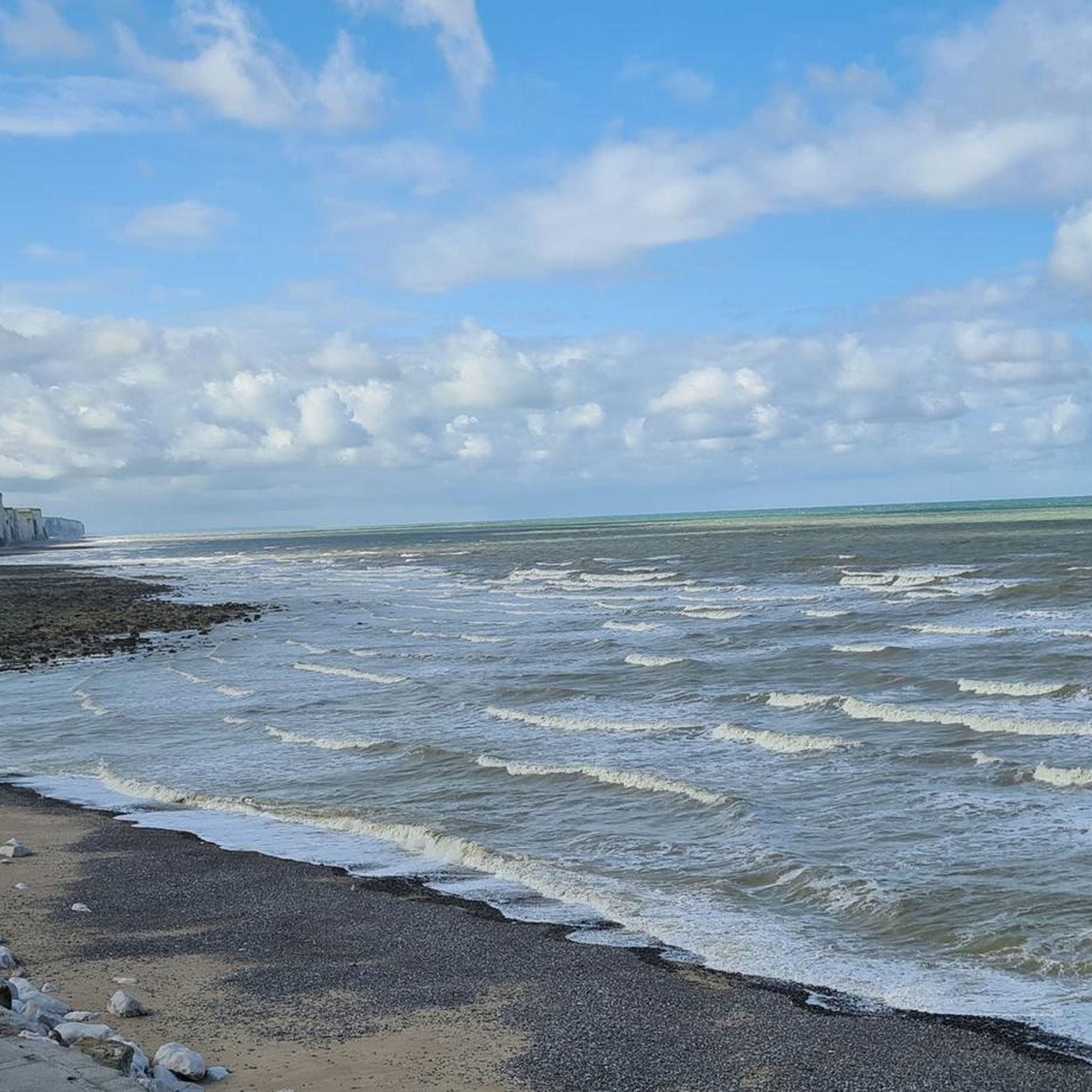
The cliffs are made of chalk and are impressive to look at.
3
0
Here in Ault begin the chalk cliffs, which stretch all the way to Normandy and repeatedly appear as enormous cliffs.
4
0


The cliffs around the beach of Ault are composed of chalk from the Upper Cretaceous, more precisely from the Turonian and Coniacian (around 83 million years ago to 90 million years ago). They are strewn with flint nodules which highlight the subhorizontal stratification planes (the formation of flint has already been discussed in Discovery of the geology of the cliffs of Étretat, presentation of an excursion from the beach of Tilleul (Antifer) to the Porte d'Amont (Étretat Nord)). The relative proportion of chalk and flint is around 90-95% chalk to 5-10% flint. Flint horizons are stratigraphic markers. On the cliffs of Ault, the regular flint band called Seven Sisters is recognizable and characterizes the boundary between the Middle Coniacian and the Upper Coniacian (around 87 million years ago). The boundary between the lower and middle Coniacian is marked by the Shoreham 2 marl level, which is more difficult to identify. These lithostratigraphic markings allow in particular the correlation of distant deposits, such as between the Normandy and Picardy coasts, or between the French and English coasts.
3
0
A green setting in the heart of the cliffs, classified as a picturesque area since 1959. The Bois de Cise is an exceptional natural area, a small natural forest, originally wild and abandoned, which became a famous seaside resort during the Belle Époque under the leadership of a visionary who stopped at nothing. This coastal forest was originally a wild forest and a hunting ground in the Middle Ages. At the end of the 19th century, the Bois de Cise was sold off in lots on the initiative of a property developer and became a famous seaside resort of the Belle Époque. Today, it is a charming holiday and walking area that is best explored on foot via the narrow paths and wooden steps that crisscross the area. Very beautiful villas bear witness to the prosperous years before the First World War. Don't forget to go to the panorama, like Victor Hugo in his time, a fantastic viewpoint from which you can see the mouth of the Bay of Somme.
0
0
The cliffs around the beach of Ault are composed of chalk from the Upper Cretaceous, more precisely from the Turonian and Coniacian (around 83 million years ago to 90 million years ago). They are strewn with flint nodules which highlight the subhorizontal stratification planes (the formation of flint has already been discussed in Discovery of the geology of the cliffs of Étretat, presentation of an excursion from the beach of Tilleul (Antifer) to the Porte d'Amont (Étretat Nord)). The relative proportion of chalk and flint is around 90-95% chalk to 5-10% flint. Flint horizons are stratigraphic markers. On the cliffs of Ault, the regular flint band called Seven Sisters is recognizable and characterizes the boundary between the Middle Coniacian and the Upper Coniacian (around 87 million years ago). The boundary between the lower and middle Coniacian is marked by the Shoreham 2 marl level, which is more difficult to identify. These lithostratigraphic markings allow in particular the correlation of distant deposits, such as between the Normandy and Picardy coasts, or between the French and English coasts.
2
0
Frequently Asked Questions
What kind of natural landscapes can I expect to see around Nibas?
The area around Nibas, part of the Parc naturel régional Baie de Somme - Picardie maritime, offers a diverse range of natural landscapes. You'll find nearly 70 kilometers of varied coastline, including dramatic chalk cliffs, extensive shingle banks, estuaries, and dune systems. Inland, the park features a mosaic of calcareous grasslands, alkaline peat bogs, coastal marshes, wooded plateaus, and dry valleys.
Are there any natural monuments with impressive cliffs near Nibas?
Yes, the region is well-known for its striking chalk cliffs. You can visit La Cise Cliff, which features stunning white chalk formations overlooking the sea. Another significant site is the Ault Chalk Cliffs, where the Normandy cliffs begin, offering dramatic scenery and geological interest.
Where can I observe wildlife, especially seals, near Nibas?
The Parc naturel régional Baie de Somme - Picardie maritime is internationally recognized for its exceptional wildlife. For seal observation, Cape Hornu near Saint-Valery-sur-Somme provides panoramic views of the bay and its wildlife. The Pointe du Hourdel, approximately 13 km from Nibas, is particularly famous for its seal colony, offering a unique viewing experience.
Are there family-friendly natural monuments to visit around Nibas?
Yes, Cape Hornu is noted as family-friendly, offering a beach and coastal path with views of the bay. The broader Baie de Somme area, including sites like Parc du Marquenterre (an ornithological park) and the Réserve naturelle de la Baie de Somme, also provides engaging experiences for families interested in nature and birdwatching.
What kind of historical context is associated with the natural monuments in this area?
While primarily natural sites, some locations have historical significance. For instance, Cape Hornu is near Saint-Valery-sur-Somme, a town with a rich history dating back to Roman times, including connections to William the Conqueror and Joan of Arc. The cape itself is named from the Picard word “hornu” meaning “horned” or “pointed.” You can find the Chapelle des Marins along the coastal path, dedicated to sailors.
What outdoor activities can I do near these natural monuments?
The region around Nibas offers various outdoor activities. You can explore hiking trails, such as the moderate 'Cape Hornu loop from Routhiauville' or the more challenging 'Blockhaus du Hourdel – Le Hourdel Lighthouse loop from Routhiauville'. For cycling, options include road cycling routes like the 'Château d'Eu – Eu Castle loop from Fressenneville' or touring bicycle routes like the 'Bois de Cise – Eastern end of Falaises d'Albâtre, Ault coastal panorama loop from Nibas'. You can find more details on these activities and routes on the Hiking around Nibas, Road Cycling Routes around Nibas, and Cycling around Nibas guide pages.
Are there any unique natural areas with specific ecosystems near Nibas?
Yes, The Hâble d'Ault Route leads through a unique wetland area. This site is characterized by lowlands isolated from the sea by a pebble bank, home to diverse waterfowl like mallards and shovelers, and rare pioneer habitats adapted to the absence of soil, such as the nationally protected sea cabbage.
What is the best time of year to visit the natural monuments around Nibas?
The best time to visit the natural monuments around Nibas generally depends on your interests. Spring and autumn are ideal for birdwatching, especially in areas like the Baie de Somme, as migratory birds pass through. Summer offers pleasant weather for coastal walks and enjoying the beaches. The seal colony at Pointe du Hourdel can be observed year-round, but specific times of day (low tide) are best for viewing.
Can I find any hidden natural wonders or less-known spots?
While not 'hidden' in the sense of being secret, the diverse ecosystems within the Parc naturel régional Baie de Somme - Picardie maritime offer many less-trafficked areas. Exploring the inland calcareous grasslands, alkaline peat bogs, and dry valleys can reveal unique flora and fauna away from the more popular coastal attractions. The specific geological formations and flint nodules visible at La Cise Cliff also offer a fascinating, detailed natural wonder.
What do visitors enjoy most about the natural monuments around Nibas?
Visitors frequently appreciate the dramatic coastal scenery, particularly the impressive chalk cliffs like La Cise Cliff and the Ault Chalk Cliffs. The panoramic views of the bay from spots like Cape Hornu, combined with opportunities for wildlife observation, are also highly rated. The unique natural habitats and the sense of being in a pristine natural environment are key draws for those exploring the region.
Are there options for easy walks or beginner-friendly hikes near the natural monuments?
Yes, there are options suitable for beginners. While some cliff paths can be steep, many coastal areas and parts of the Hâble d'Ault offer relatively flat terrain. For example, the path along the coast at Cape Hornu provides an accessible way to enjoy the views. The 'Superb marsh trail – Parking lot loop from Woignarue' is a moderate hiking option that is shorter and less strenuous than some of the longer routes.
How can I learn more about the regional natural park that Nibas is part of?
Nibas is situated within the Parc naturel régional Baie de Somme - Picardie maritime. You can find more information about this significant natural area and its conservation efforts through official resources. For a broader overview of regional natural parks in Hauts-de-France, you can visit Hauts-de-France Tourism. For detailed information on the park itself, consult Patrimoine Naturel Hauts-de-France.
Most popular attractions around Nibas

Get inspired with the komoot mobile app


Explore more
Extend your search for the best caves by checking out these guides of the top ones around Nibas:
