Top 5 Mountain Passes around La Croix-Valmer
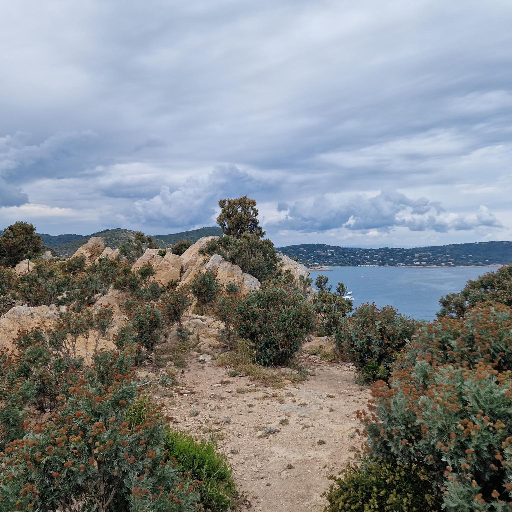
Best mountain passes around La Croix-Valmer are found in a picturesque coastal village in the Var department of Southern France. The area is known for its stunning coastline and exceptional hiking trails, offering elevated and challenging routes with significant climbs and panoramic vistas. These paths traverse protected landscapes, rocky cliffs, secluded coves, and scented pine forests, providing diverse terrain. The region also features heritage trails leading through vineyards and past old wells, showcasing its cultural history.
Best mountain passes around…
Last updated: July 4, 2026
Canadel Pass
Highlight • Mountain Pass
Translated by Google •
Tip by

Col de Collebasse
Highlight • Mountain Pass
Translated by Google •
Tip by
Sign up now to discover places like this
Get recommendations on the best single tracks, peaks, & plenty of other exciting outdoor places.
Sign up for free
View from Col du Canadel
Highlight • Viewpoint
Translated by Google •
Tip by

Route des Crêtes of Col du Canadel
Highlight (Segment) • Mountain Pass
Translated by Google •
Tip by

Start today with a free account
Your next adventure awaits.
Login or Signup
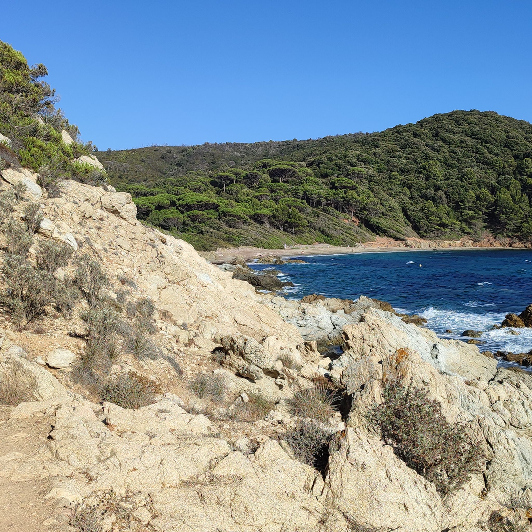
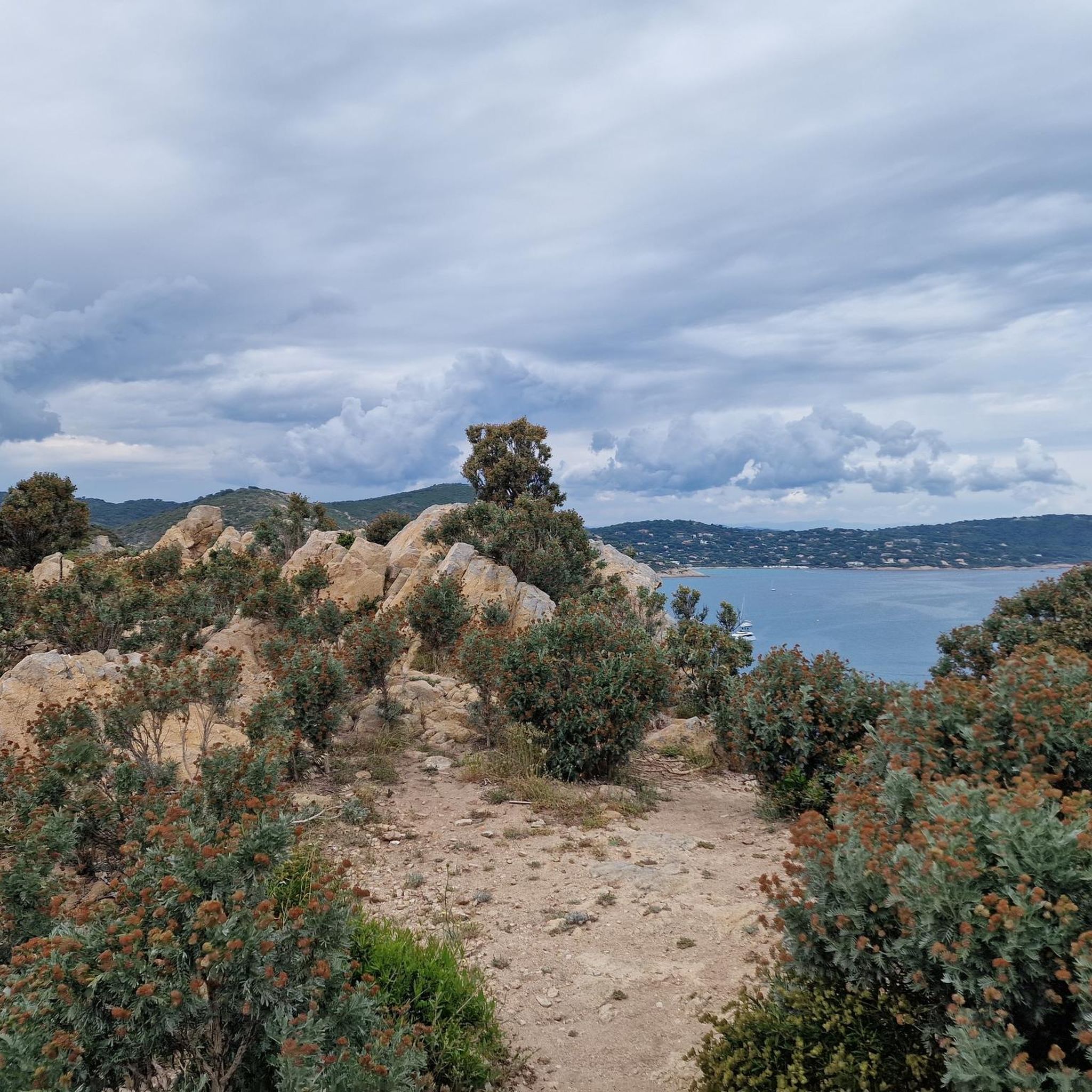
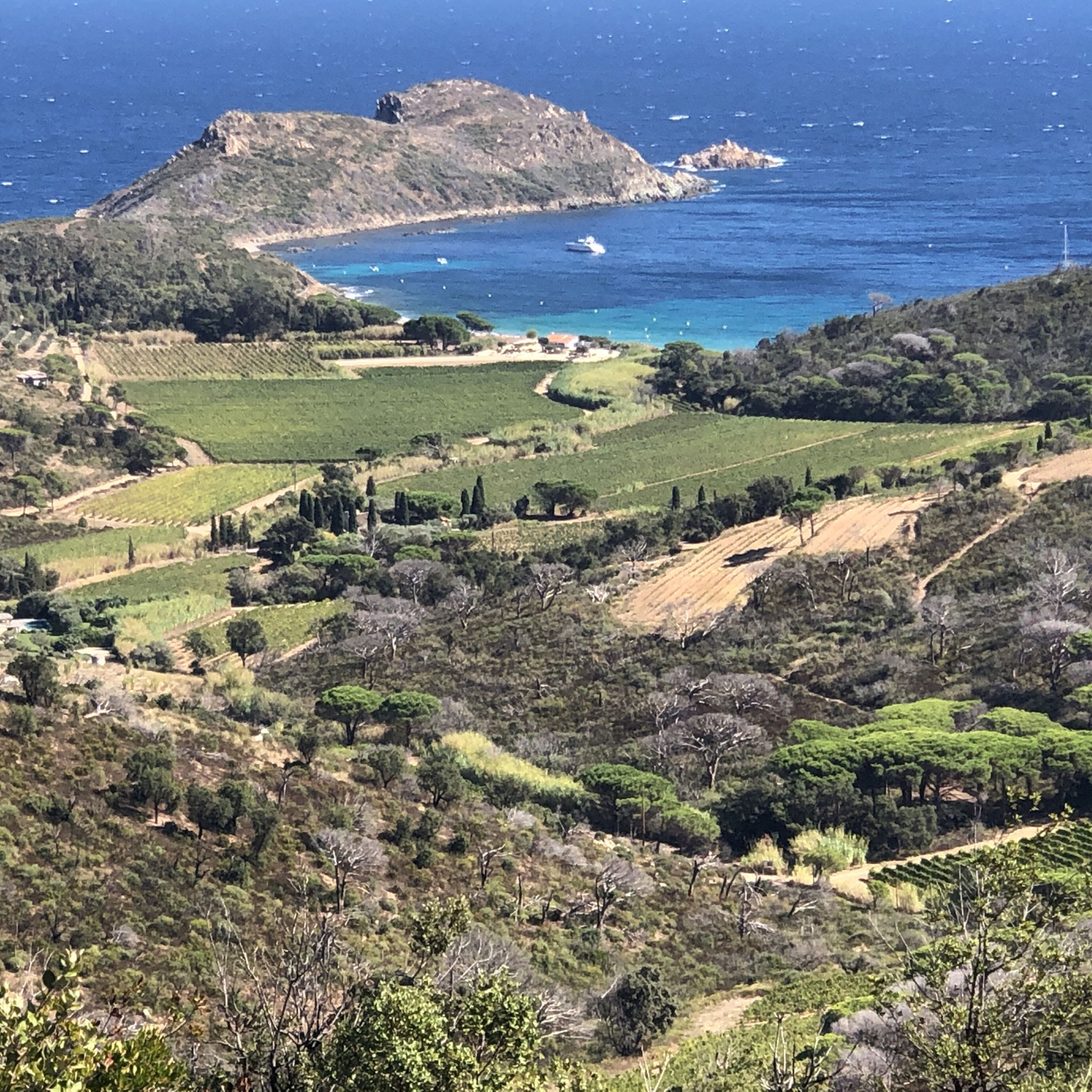
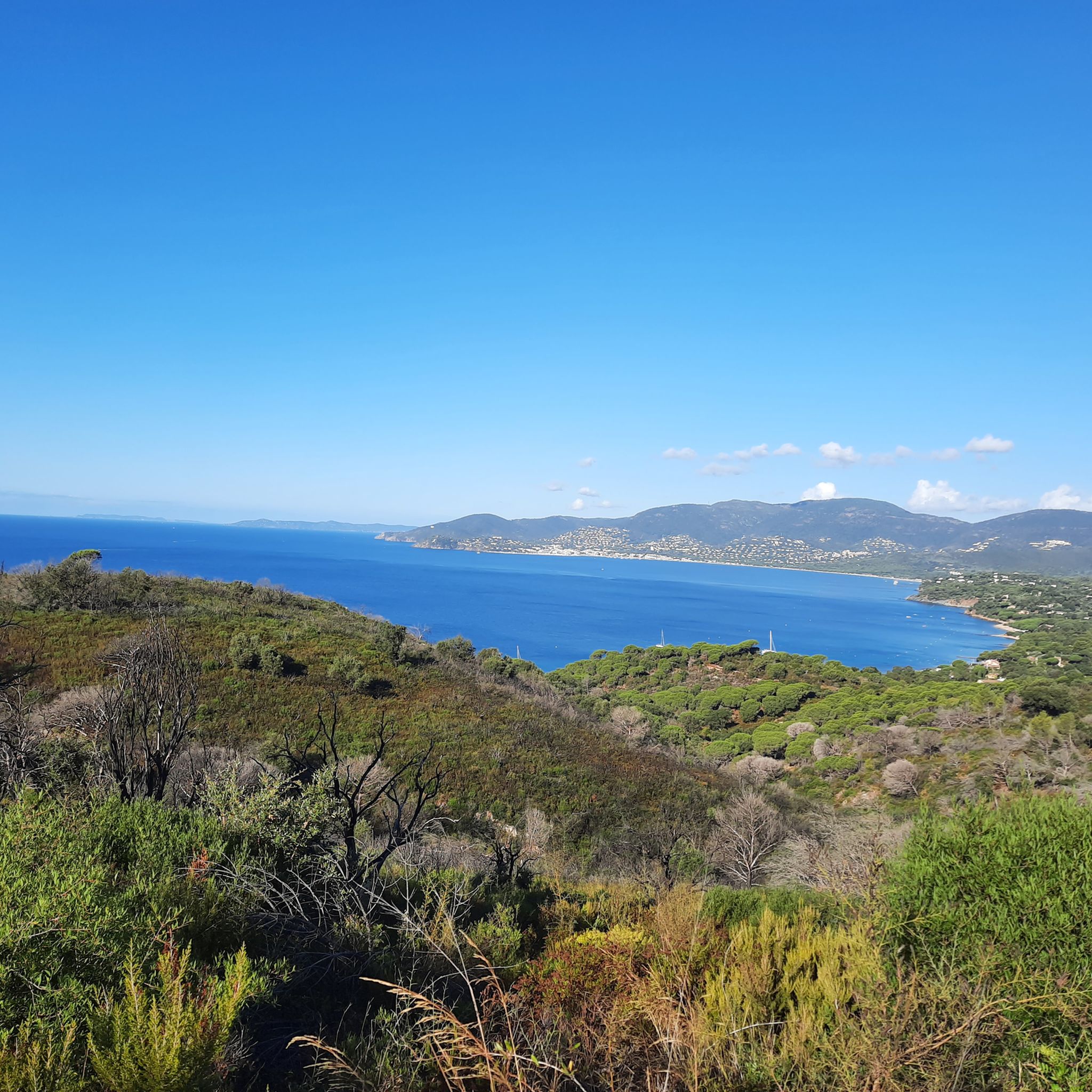
Tips from the Community

Very nice route suitable for gravel. A good balance between paved roads and gravel tracks. Between the Col du Canadel and La Croix-Valmer, the DFCI track winds along the ridge offering beautiful views between the sea and inland massifs. Be careful in summer: the DFCI track may be prohibited (fire risks). Check authorizations on the site https://www.risk-prevention-feu.fr/var/index.html.
3
0

Magnificent road, perfect complement to the Route des Cretes. Great tip, @Fabrice!
1
0

Mythical pass, fantastic route and a breathtaking view of the Levant Islands (Porquerolles, Port Cros and Levant).
3
0

The descent to La Croix Volmar is a real feast for the eyes on great asphalt.
0
0

Very beautiful pass, to do absolutely if you pass through the region
0
0

The Col de Canadel is 4.3 km long with a total drop of 239 m. The average steepness of the climb is 5.5% with some 10% steeper sections near the top before flattening out to 2%.
5
2
The path to the climb is quite long with about 7-8 km of flat to hilly terrain before. The climb starts cleanly with 5km to the summit, where the gradient gradually increases from 2% to 8% towards the summit. The views at the top are worth the effort!
4
1

An easy and beautiful pass! On the south side, we have a permanent view of the Mediterranean with breathtaking landscapes. North side, wilder, we are in the Massif des Maures in a sumptuous pine forest. To be done very early in the morning in summer, especially the south side, which is quickly a furnace. The ideal is to continue with the Route des Crêtes, a veritable balcony above the sea, and the Col du Babaou, wilder with its typical landscapes of the Provençal coast.
5
1
Frequently Asked Questions
What kind of mountain pass experiences can I expect around La Croix-Valmer?
La Croix-Valmer, while not having traditional high-altitude mountain passes, offers elevated and challenging coastal and inland trails. These routes provide significant climbs, descents, and panoramic vistas, often traversing protected landscapes, rocky cliffs, and scented pine forests. You'll find experiences ranging from moderately difficult climbs to longer, more challenging routes with exceptional views.
Are there any challenging routes for experienced cyclists or hikers?
Yes, for a challenging experience, consider the Route des Crêtes of Col du Canadel. This route features an elevation gain of 1200m over 88km, offering a superb and quiet road with very moderate traffic, making it ideal for those seeking a demanding adventure.
What are the best routes for scenic views?
Many elevated routes in the area offer stunning views. The Col de Collebasse provides rewarding views at its summit after a climb with gradients increasing up to 8%. Additionally, the Canadel Pass also offers impressive panoramic views from its summit.
What is the difficulty level of the mountain passes and elevated routes?
The difficulty varies. For example, the Canadel Pass is moderately difficult, with an average steepness of 5.5% and some sections reaching 10%. The Col de Collebasse has gradients that gradually increase from 2% to 8%. The Route des Crêtes of Col du Canadel is considered a rather difficult route due to its significant elevation gain over 88km.
What are some popular hiking trails near these elevated routes?
The region is renowned for its hiking. The Three Caps Walk (Cap Lardier, Cap Taillat, and Cap Camarat) is a prominent elevated hiking experience with varied terrain and beautiful views. Portions of the Sentier du Littoral also run through La Croix-Valmer, offering rugged coastal sections with numerous 'ups and downs' and exceptional sea views. You can find more hiking options in the Hiking around La Croix-Valmer guide.
Are there mountain biking opportunities around La Croix-Valmer's passes?
Yes, there are mountain biking trails that incorporate these elevated areas. For instance, the road towards La Croix-Valmer from Canadel Pass is better suited for mountain bikes or gravel bikes due to its condition. You can explore various MTB routes in the MTB Trails around La Croix-Valmer guide.
What is the best season to visit La Croix-Valmer for these elevated routes?
The Mediterranean climate of La Croix-Valmer makes it enjoyable for outdoor activities for much of the year. Spring and autumn generally offer the most pleasant temperatures for hiking and cycling, avoiding the intense heat of summer and the cooler, potentially wetter days of winter. Always check local weather forecasts before heading out.
Are there family-friendly options for exploring the elevated terrain?
While some coastal paths can be challenging, the La Croix-Valmer Heritage Trail (Sentier du Patrimoine) offers an easier, elevated experience. It leads through vineyards, past old wells and dry-stone walls, and to various viewpoints, providing an excellent introduction to the inland landscape and its cultural history without being as physically demanding as the coastal routes.
What natural features can I expect to see along these routes?
You'll encounter diverse natural beauty, including stunning coastlines, rocky cliffs, secluded coves, and scented pine forests. Protected landscapes like Cap Lardier, part of the Three Caps Walk, offer panoramic views and a rich natural environment. The Sentier du Littoral provides opportunities to observe Calvaire Bay and an exceptional natural environment.
What should I bring for hiking or cycling these routes?
Given the varied terrain and potential for significant climbs, it's advisable to bring appropriate footwear for hiking or cycling gear. Carry sufficient water, sun protection (hat, sunscreen), and snacks. A map or GPS device is also recommended, especially for longer or less-marked trails. For more information on local walks and hikes, you can visit lacroixvalmertourisme.com.
Are there any circular hiking routes that include these elevated points?
Yes, the region offers several circular routes. For example, the Hiking around La Croix-Valmer guide lists routes like the 'Gigaro Beach – Sentier du Littoral loop from Saint Michel' and the 'Cap Lardier – View of Cap Taillat loop from Cavalière', which incorporate elevated coastal sections.
What do visitors enjoy most about the elevated routes around La Croix-Valmer?
Visitors frequently praise the unparalleled natural beauty and diverse landscapes, ranging from coastal cliffs to fragrant pine forests. The opportunities for both challenging hikes and more relaxed strolls, all with rewarding panoramic views, are highly appreciated. The unique blend of physical activity and scenic enjoyment is a major draw.
Most popular routes around La Croix-Valmer
Most popular attractions around La Croix-Valmer

Get inspired with the komoot mobile app


Explore more
See even more epic mountain passes by checking out these guides around La Croix-Valmer:
