Top 7 Mountain Passes around Saint-Sauveur-Camprieu
Best mountain passes around Saint-Sauveur-Camprieu are situated within the Cévennes National Park, offering access to varied terrain and natural features. This region provides routes that connect significant natural and historical sites, characterized by diverse landscapes. The area includes high-altitude passes and routes through forests, with some offering views of the Mont Aigoual massif.
Best mountain passes around Saint-Sauveur-Camprieu
- The most popular mountain passes is Perjuret Pass, a mountain pass that peaks at an altitude of 1,031 meters. It is…
Last updated: July 4, 2026
Minier Pass
Highlight • Mountain Pass
Translated by Google •
Tip by

Lusette Pass
Highlight • Mountain Pass
Translated by Google •
Tip by

Sign up now to discover places like this
Get recommendations on the best single tracks, peaks, & plenty of other exciting outdoor places.
Sign up for free
Perjuret Pass
Highlight • Mountain Pass
Translated by Google •
Tip by

Salidès Pass
Highlight • Trail
Translated by Google •
Tip by

Col de la Pierre Plantée
Highlight • Mountain Pass
Translated by Google •
Tip by

Sign up for free to discover even more mountain passes around Saint-Sauveur-Camprieu.
Sign up for free
Already have an account?
Start today with a free account
Your next adventure awaits.
Login or Signup

Tips from the Community

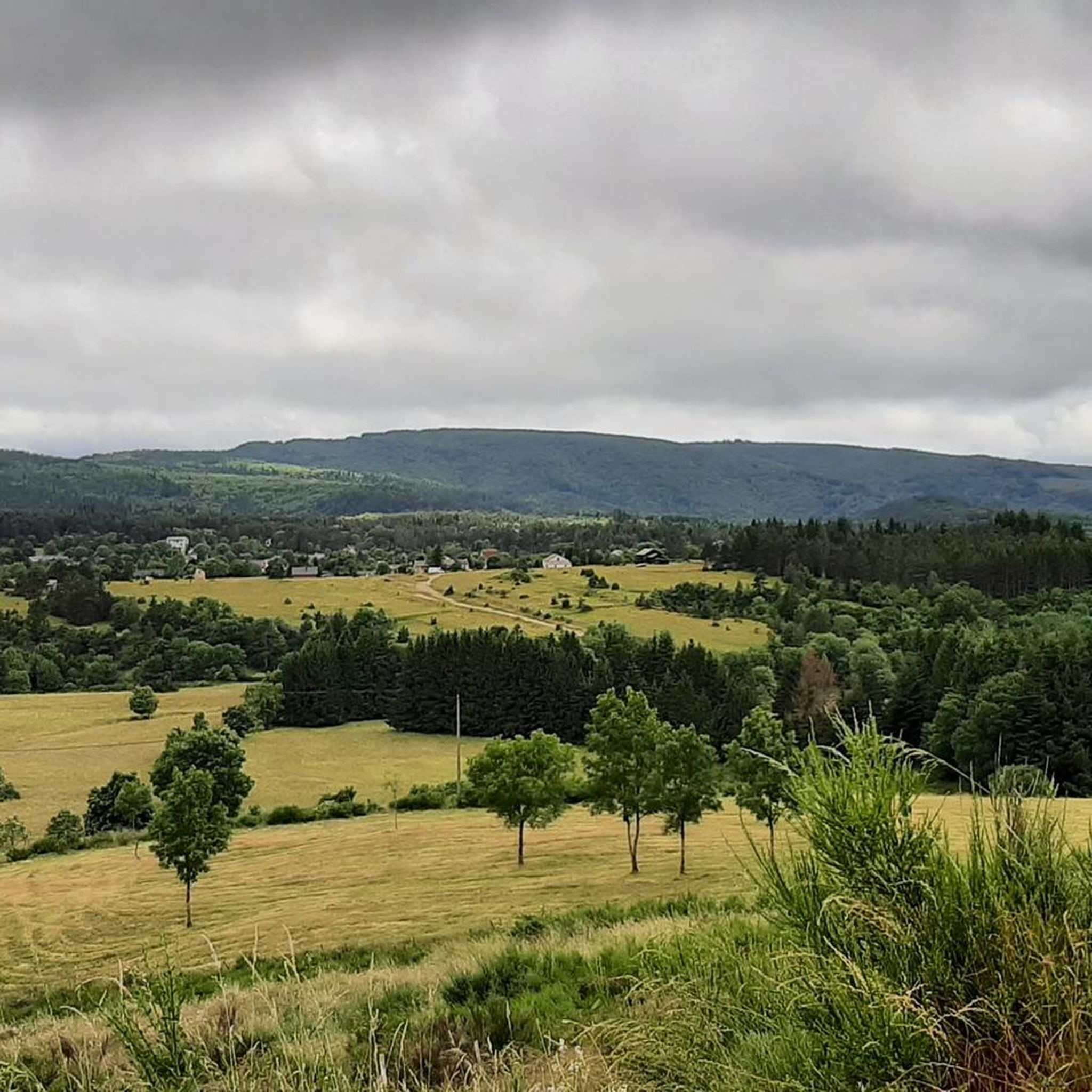
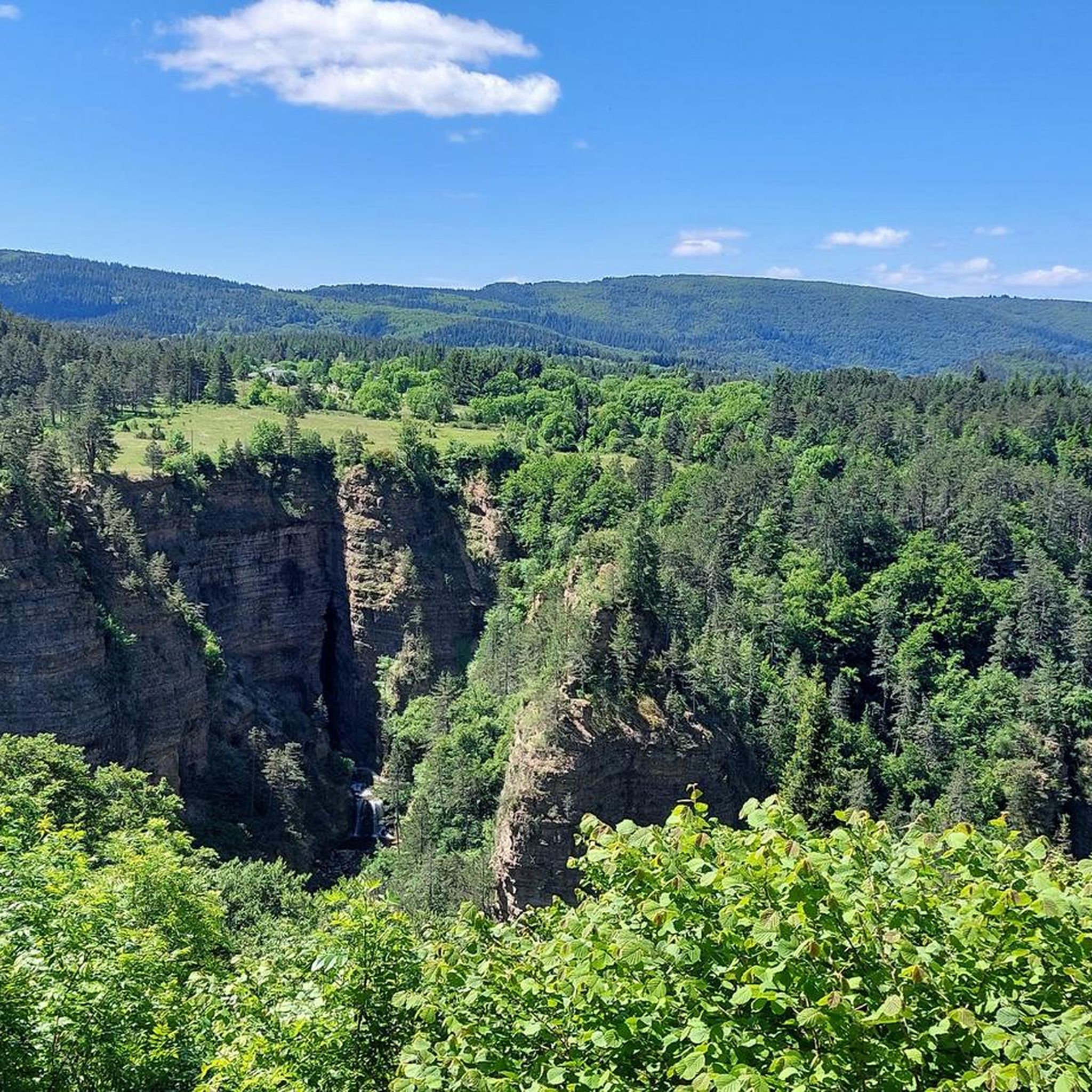
This pass, discreetly nestled among the fir trees, is a great road and pedestrian crossing. It also allows cyclists and gravel enthusiasts to take the trails that go a little deeper into the coniferous forests.
0
0

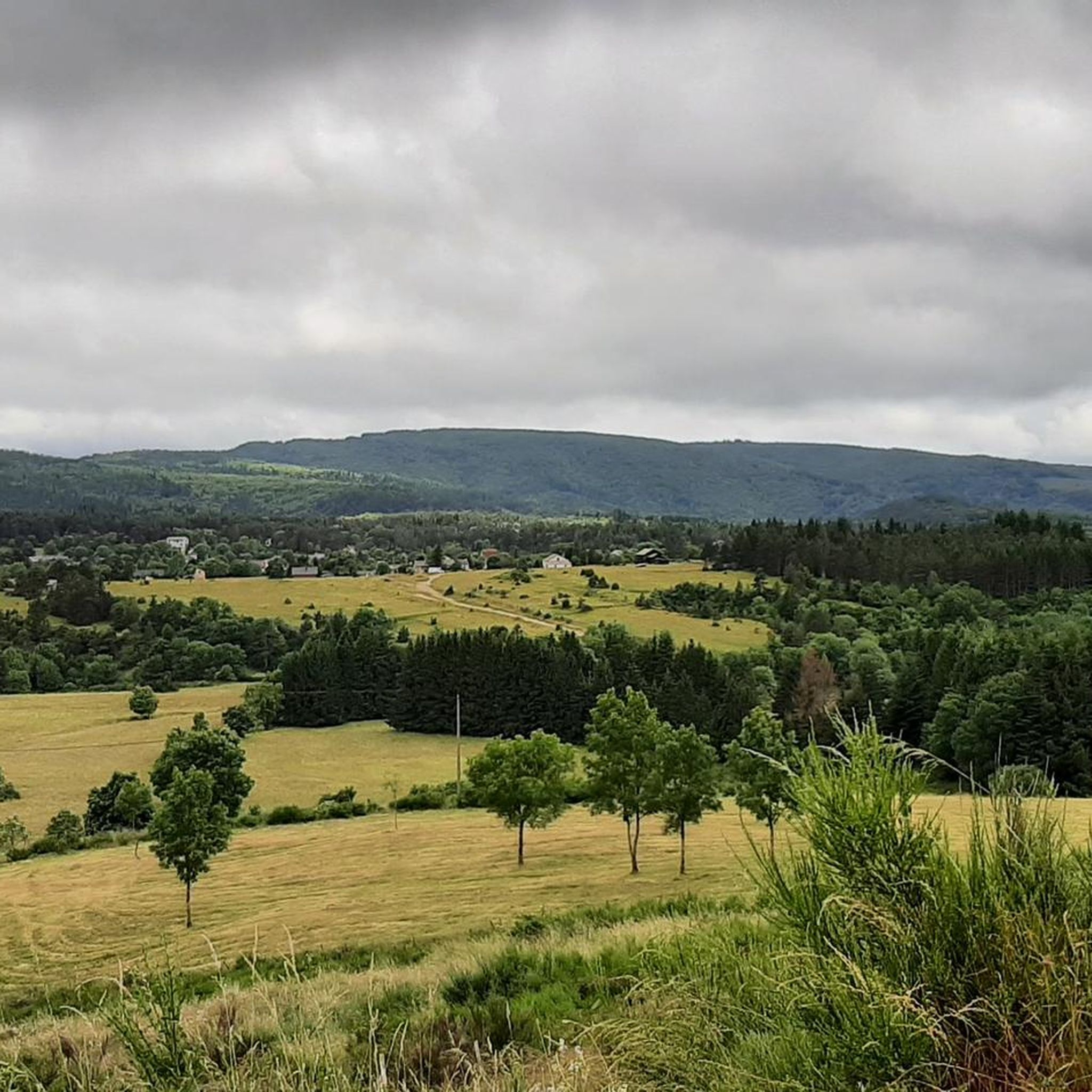
Beautiful place but difficult to climb, the bends before the refuge are more than 11%
1
0

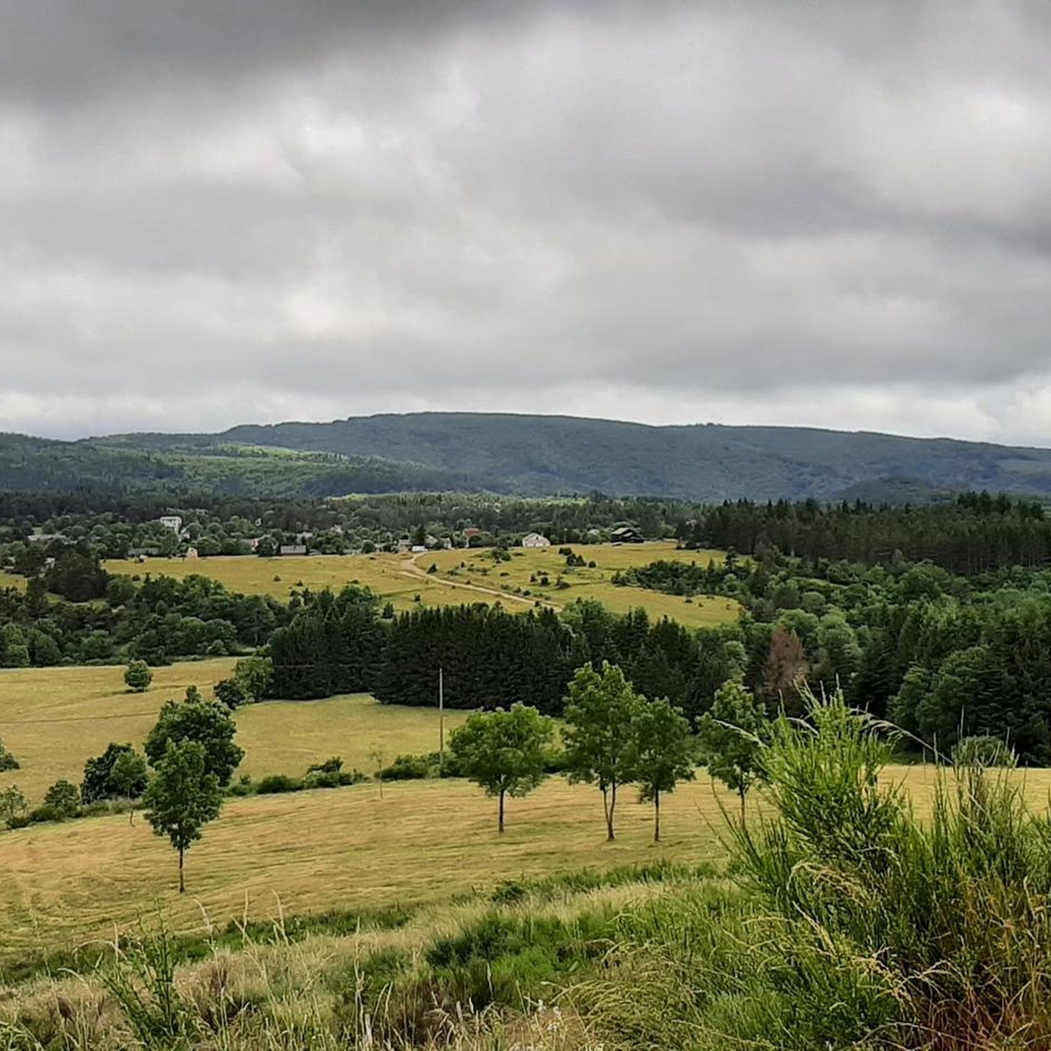
Splendid panorama, a beautiful climb and descent
0
0

22.60 km and “Height difference” 1033m between Le Vigan and Col!
1
0

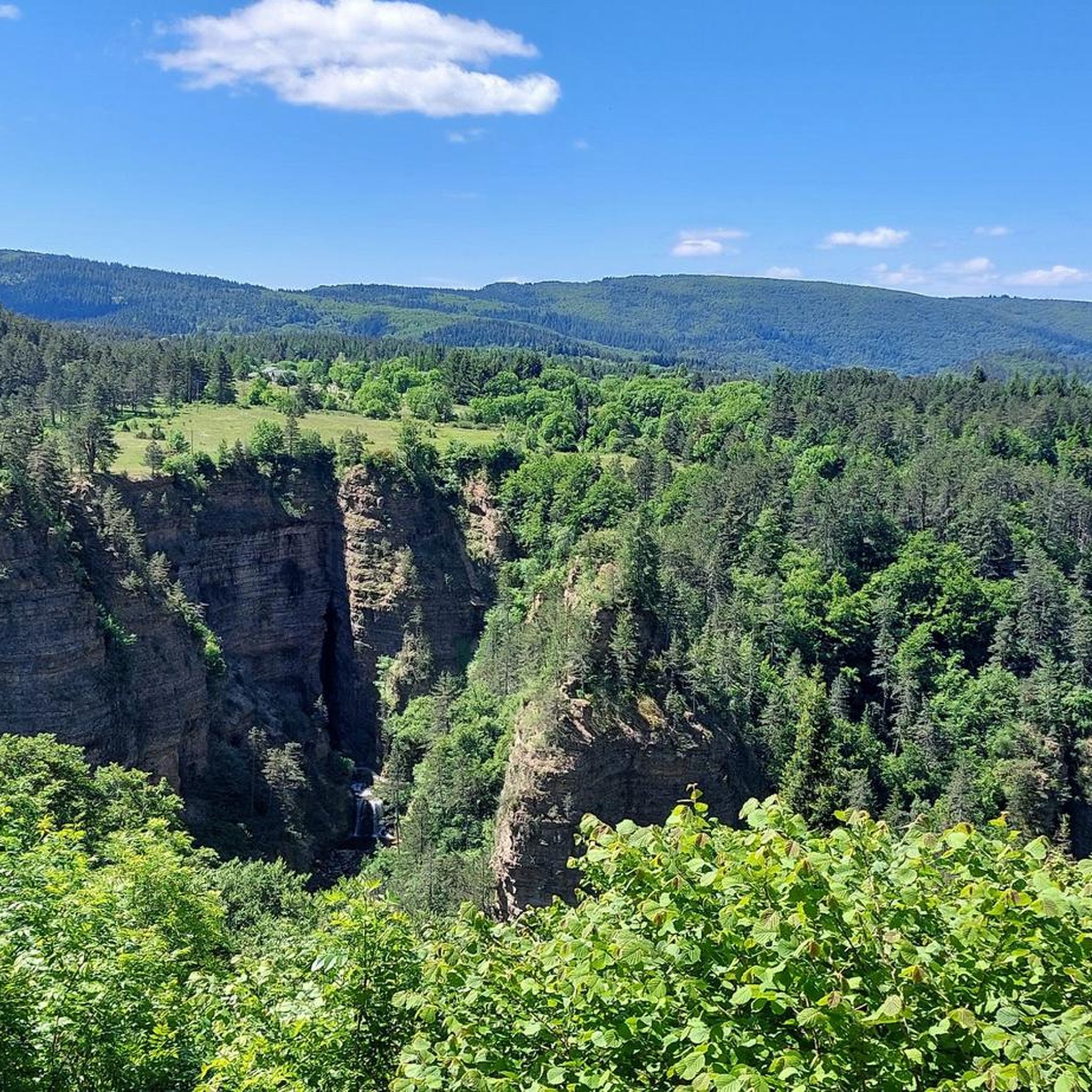
The Col du Minier with an altitude of 1,264 meters is located on the watershed between the Mediterranean Sea and the Atlantic Ocean. It is also located near a small waterfall, which is very useful for cooling off.
0
0


A nice tour but a part in the forest made impracticable by the cuts of wood which destroy any landmark donations for me course to review with the trace of the mountain bike 10
0
0
The Col du Minier with an altitude of 1,264 meters is located on the watershed line between the Mediterranean Sea and the Atlantic Ocean. It is also located near a small waterfall, which turns out to be very useful for cooling off after the climb.
1
0
Frequently Asked Questions
What kind of views can I expect from the mountain passes around Saint-Sauveur-Camprieu?
The mountain passes in this region offer diverse and stunning views. From Lusette Pass and Salidès Pass, you can expect great vistas. The Col de la Serreyrède provides panoramic views, particularly overlooking the Hérault valley from the summit of Mont Aigoual. On clear days, routes around the Col de Montals can even offer views extending to the sea.
Are there any unique natural features near the mountain passes?
Yes, several passes are close to interesting natural features. Near Minier Pass, you'll find a small waterfall, perfect for cooling off. The Bonheur river, which feeds the picturesque Lac du Bonheur, takes its source near the Col de la Serreyrède. Additionally, the area around Col de Montals features varied landscapes, transitioning between deciduous and coniferous forests and even peat bogs.
What outdoor activities can I do near the mountain passes around Saint-Sauveur-Camprieu?
The region offers a wide range of outdoor activities. You can find numerous running trails, including the 'Valley of Happiness – Lake Bonheur loop'. Cycling enthusiasts can tackle challenging routes like the 'Tour of Mont Aigoual' or the 'Lusette Pass – Col de la Luzette loop'. For hikers, there are trails such as the 'Sentier de la vallée du Bonheur' and the 'Valley of Happiness – Serreyrède Pass loop'. For more details on these activities and routes, visit the hiking, cycling, and running guides for Saint-Sauveur-Camprieu.
Which mountain passes are considered challenging for cyclists or endurance hikers?
For cyclists, Lusette Pass is known for its difficult ascent, with percentages between 8 and 14% over 18 km. The Col de Faubel, reaching 1,400 to 1,402 meters, offers higher-altitude experiences. The Col de Montals is particularly appealing to endurance hikers due to the length and varied terrain of its surrounding trails within the Mont Aigoual massif.
Are there mountain passes suitable for gravel biking or specific cycling styles?
Yes, Minier Pass is a great spot for cyclists and gravel enthusiasts, as it allows access to trails that delve deeper into the coniferous forests. The challenging ascent of Lusette Pass also features a rather gravel coating in sections, making it interesting for those seeking varied terrain.
What is the elevation of the mountain passes in the Saint-Sauveur-Camprieu area?
The passes in the region vary in elevation. Perjuret Pass peaks at 1,031 meters. Minier Pass is situated at 1,264 meters. The Col de Faubel reaches the highest altitude in the communal territory at 1,400 or 1,402 meters, while the Col de Montals is at 1,308 meters.
Which mountain pass marks the watershed between the Mediterranean and Atlantic?
Minier Pass, located at an altitude of 1,264 meters, is notable for being situated on the watershed line between the Mediterranean Sea and the Atlantic Ocean.
Are there any passes that separate administrative regions?
Yes, the Col de la Pierre Plantée is a pass that separates the departments of Gard and Aveyron.
What do visitors enjoy most about the mountain passes around Saint-Sauveur-Camprieu?
Visitors frequently praise the stunning views and the challenging yet rewarding climbs. Many appreciate the diverse landscapes, from forests to open panoramas. The opportunity for various outdoor activities like hiking and cycling, combined with the natural grandeur of the Cévennes National Park, makes these passes a popular destination.
What is the best time to visit the mountain passes in the Cévennes National Park?
The best time to visit generally depends on the activities you plan. Spring and autumn offer pleasant temperatures for hiking and cycling, with vibrant foliage in autumn. Summer is ideal for enjoying the higher altitudes and cooler air, though it can be busier. Winter can bring snow, offering opportunities for different types of outdoor experiences, but some routes may be less accessible.
Are there hiking routes directly from Saint-Sauveur-Camprieu to any of the passes?
Yes, there are hiking routes that lead directly to the Col de Faubel from Saint-Sauveur-Camprieu, allowing you to explore the diverse landscapes of the Cévennes. Additionally, the 'Valley of Happiness – Serreyrède Pass loop' is a moderate hiking route that includes the Col de la Serreyrède.
Where is Perjuret Pass located?
Perjuret Pass, which peaks at an altitude of 1,031 meters, is located at the end of the Jonte gorges, starting from the village of Rozier.
Most popular routes around Saint-Sauveur-Camprieu
Most popular attractions around Saint-Sauveur-Camprieu

Get inspired with the komoot mobile app


Explore more
See even more epic mountain passes by checking out these guides around Saint-Sauveur-Camprieu:
