Top 9 Natural Monuments around Saint-Sauveur-Camprieu
Best natural monuments around Saint-Sauveur-Camprieu are found within the Cévennes, a region known for its diverse geological formations and ecological significance. This area features a landscape shaped by rivers, mountains, and unique subterranean systems. Visitors can explore a variety of natural features, from high mountain passes to deep chasms and ancient arboretums. The region offers opportunities to experience varied terrains and notable landmarks.
Best natural monuments around Saint-Sauveur-Camprieu
- The most popular natural monuments is The 4000 Steps, a summit path bordered by stone terraces that give the illusion of steps. This 9.5 km path ascends from Valleraugue to the observatory of Aigoual, offering a consistently steep but walkable route.
- Another must-see spot is Minier Pass, a mountain pass at an altitude of 1,264 meters. It is located on the watershed line between the Mediterranean Sea and the Atlantic Ocean, discreetly nestled among fir trees.
- Visitors also love Abîme de Bramabiau, an impressive cave where the Bonheur river disappears underground before re-emerging from a cavity in a 10-meter drop. This site is known for its geological formations created by river erosion.
- Saint-Sauveur-Camprieu is known for its summits, mountain passes, and chasms. These natural features provide a range of experiences, from exploring underground worlds to panoramic viewpoints.
- The natural monuments around Saint-Sauveur-Camprieu are appreciated by the komoot community, with 59 upvotes and 78 photos contributing to their appeal.
Last updated: July 4, 2026
The 4000 Steps
Highlight (Segment) • Summit
In the central area of the Cévennes National Park and crossing the arboretum of the Hort de Dieu, the 9.5 km long path with a drop of 1200 m leaves from Valleraugue (357 m) to reach the observatory of Aigoual (1567 m).
Massive granite and schist, between Atlantic and Mediterranean, despite its modest altitude, abundant precipitation, wind, fog make it a real mountain.
Translated by Google •
Tip by

Mount Aigoual
Highlight • Summit
It also lies on the border between the Gard and Lozère departments. Here you'll find a weather station, as well as a snack bar and refreshment bar.
On a clear day, the panorama is exceptional, offering views stretching from the Alps to the Pyrenees, and from the Puy de Sancy to the Mediterranean.
Beware of sudden temperature changes and wind.
Translated by Google •
Tip by

Sign up now to discover places like this
Get recommendations on the best single tracks, peaks, & plenty of other exciting outdoor places.
Sign up for free
Minier Pass
Highlight • Mountain Pass
Translated by Google •
Tip by
Abîme de Bramabiau
Highlight • Cave
Translated by Google •
Tip by

Dinosaur Footprints
Highlight • Natural Monument
Translated by Google •
Tip by

Sign up for free to discover even more natural monuments around Saint-Sauveur-Camprieu.
Sign up for free
Already have an account?
Start today with a free account
Your next adventure awaits.
Login or Signup

Tips from the Community


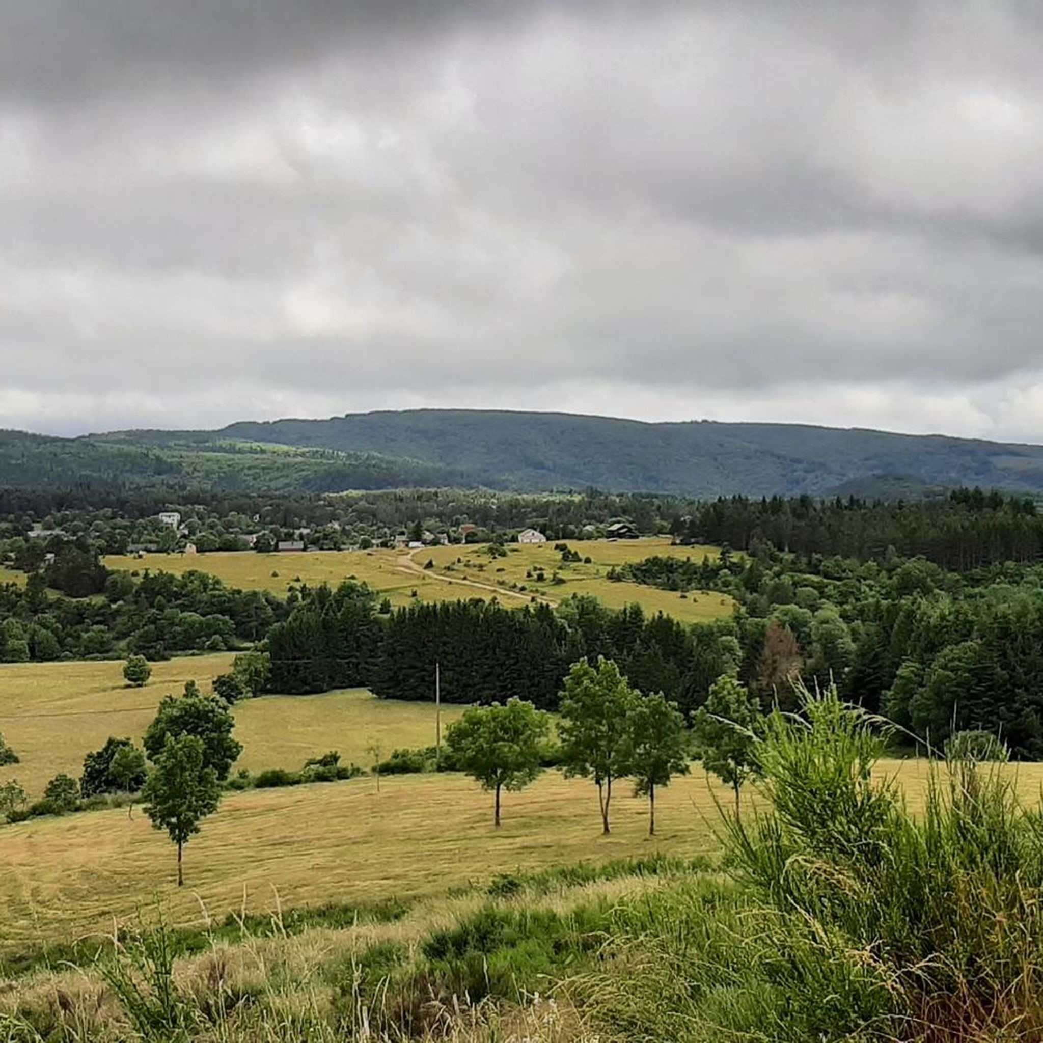
This pass, discreetly nestled among the fir trees, is a great road and pedestrian crossing. It also allows cyclists and gravel enthusiasts to take the trails that go a little deeper into the coniferous forests.
0
0


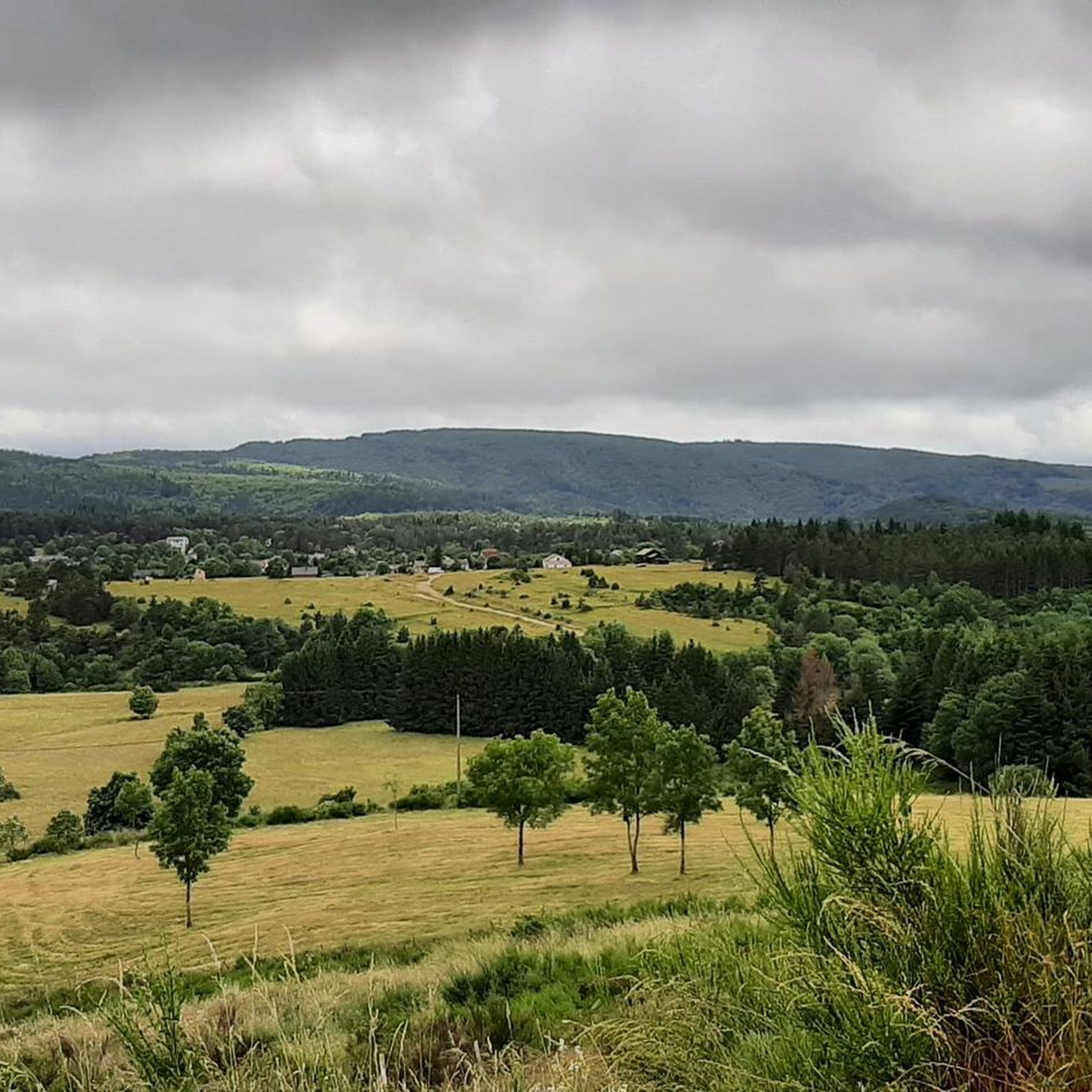
Wonderful mountain with a wonderful view. We stayed there on our long-distance hike from Tarifa (Spain) to Switzerland and can highly recommend the camp.
4
0

Very nice place to contemplate the surrounding landscapes in favorable weather conditions. Presence of a bar/restaurant and a panoramic table at height.
2
0
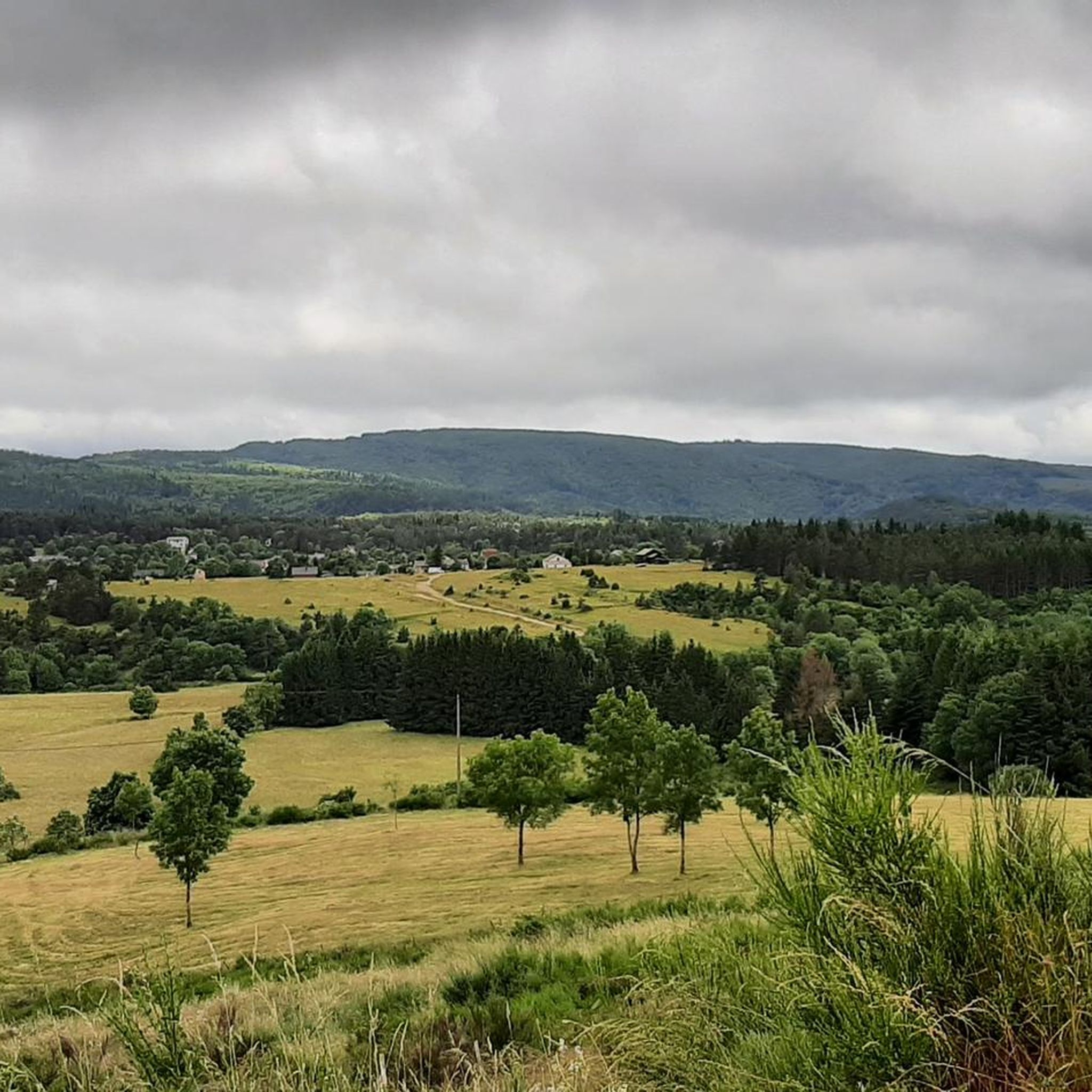
Presence of 2 dinosaur footprints on the clay path (visible using pebble circles around).
1
0

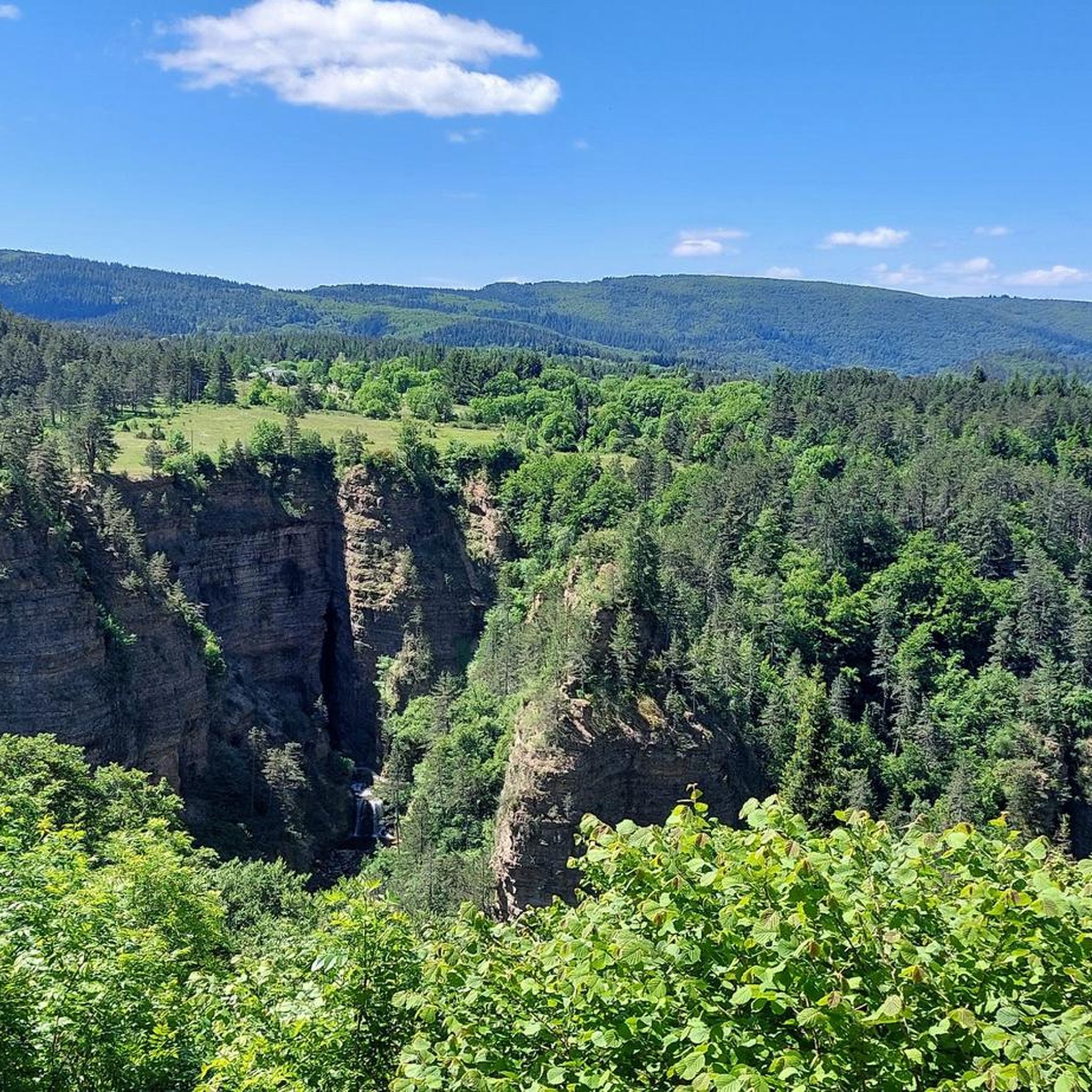
To see at least once in your life, especially if you are in the area. More beautiful than the caves and chasms that I had the opportunity to visit. https://fr.wikipedia.org/wiki/Ab%C3%AEme_de_Bramabiau https://fr.wikipedia.org/wiki/%C3%89douard-Alfred_Martel
1
0

Beautiful cave tour. You can even take your dog!
1
1
Frequently Asked Questions
What unique geological features can I explore near Saint-Sauveur-Camprieu?
The region around Saint-Sauveur-Camprieu is rich in diverse geological formations. You can explore the impressive chasm of Abîme de Bramabiau, where the Bonheur river disappears underground before resurfacing in a spectacular 10-meter drop. The area also features the granite formations of the Vallée du Bonheur, contrasting with the limestone of the Abîme, and the significant watershed at Minier Pass.
Are there any impressive caves to visit in the region?
Yes, the region offers remarkable subterranean experiences. The Abîme de Bramabiau is an impressive cave where the Bonheur river flows through an underground labyrinth. A short distance away, the Grotte de Trabuc is renowned for its unique '100,000 soldiers' stalagmite formation and the beautiful 'Lac de Minuit'. You can find more information about the Grotte de Trabuc on Wikipedia.
Are there family-friendly natural monuments around Saint-Sauveur-Camprieu?
Absolutely. The Arboretum de Saint-Sauveur des Pourcils offers an easy, family-friendly walk to discover a wide variety of tree species. The Abîme de Bramabiau is also noted as a beautiful cave tour that is dog-friendly, making it suitable for families with pets. Additionally, the Dinosaur Footprints offer a unique historical discovery for children.
What kind of plant life or arboreal collections can I expect to see?
The Arboretum de Saint-Sauveur des Pourcils is a highlight for plant enthusiasts. It showcases a wide variety of tree species, including exotic ones like the Himalayan weeping pine, Araucaria, and Lawson cypress, alongside numerous deciduous trees. The arboretum's unique microclimate supports a rich and varied flora, making it an excellent place for a leisurely walk.
What outdoor activities can I do near these natural monuments?
The area around Saint-Sauveur-Camprieu is ideal for various outdoor activities. You can find numerous hiking trails, such as the 'Lake Bonheur – Abîme de Bramabiau loop' or the 'Sentier de la vallée du Bonheur'. For cycling, routes like the 'Tour of Mont Aigoual' or 'Singletrack – Valley of Happiness loop' are popular. Gravel biking options include the 'Meyrueis – Mont Aigoual loop'. Explore more options on the hiking guide, cycling guide, or gravel biking guide for the region.
Are there any historical natural sites in the area?
Yes, the region holds some fascinating historical natural sites. The Dinosaur Footprints offer a glimpse into prehistoric times. Additionally, the Grotte de Trabuc has a rich history, having been used as a refuge by bandits in the 19th century, which is how it earned its name (trabuc means blunderbuss).
What is the best time to visit the natural monuments around Saint-Sauveur-Camprieu?
The best time to visit is generally during the warmer months, from spring to autumn, when hiking conditions are favorable and the weather is more stable. Summer offers pleasant temperatures for exploring caves and arboretums. However, be aware that Mount Aigoual can experience sudden temperature changes and strong winds, even in summer, and difficult access in winter due to extreme conditions.
What kind of views can I expect from the viewpoints?
The region offers spectacular panoramic views. From Mount Aigoual, on a clear day, the panorama is exceptional, stretching from the Alps to the Pyrenees, and from the Puy de Sancy to the Mediterranean. The The 4000 Steps path also offers consistent views during its ascent to the observatory of Aigoual.
Are there any natural monuments that are particularly challenging for hikers?
For those seeking a challenge, The 4000 Steps is a notable option. This 9.5 km path ascends from Valleraugue to the observatory of Aigoual with a significant elevation gain of 1200 m. It's consistently steep but well-maintained, offering a rewarding experience for experienced hikers.
What makes the Vallée du Bonheur and Lac du Bonheur special?
The Vallée du Bonheur (Valley of Happiness) is a picturesque area where the Bonheur stream originates. It flows through a small valley, past a ruined abbey, and eventually disappears underground before re-emerging at the Abîme de Bramabiau. The Lac du Bonheur (Lake of Happiness) is a serene lake integrated into popular hiking routes, offering a peaceful natural setting amidst diverse granite and limestone geological formations.
What do visitors enjoy the most about the natural monuments in this area?
Visitors frequently praise the unique geological formations and the immersive experiences offered. The Abîme de Bramabiau is often described as a must-see, with many finding it more beautiful than other caves they've visited. The panoramic views from Mount Aigoual are also highly appreciated, offering vast vistas across a quarter of France on clear days.
Most popular routes around Saint-Sauveur-Camprieu
Most popular attractions around Saint-Sauveur-Camprieu

Get inspired with the komoot mobile app


Explore more
Extend your search for the best caves by checking out these guides of the top ones around Saint-Sauveur-Camprieu:
