Top 3 Mountain Passes around Villefort
Mountain passes around Villefort offer access to the mountainous terrain of the Cévennes National Park, with routes appealing to cyclists and hikers. Villefort is located at the foot of Mont Lozère, a granite ridge known for its diverse landscapes. The region features rounded mountains, extensive grasslands, dense forests, and granite formations. This area provides opportunities for outdoor activities within a protected natural environment.
Best mountain passes around Villefort
- The most popular mountain pass is Col de l'Aigle, a mountain…
Last updated: July 4, 2026
Col de l'Aigle
Highlight • Mountain Pass
Translated by Google •
Tip by

Col du Pré de la Dame
Highlight • Mountain Pass
Translated by Google •
Tip by

Sign up now to discover places like this
Get recommendations on the best single tracks, peaks, & plenty of other exciting outdoor places.
Sign up for free
Col du Peras (771 m)
Highlight • Mountain Pass
The north-eastern descent/climb has very poor asphalt (be careful) , the southern side is good.
Tip by

Descent from Bonnevaux
Highlight (Segment) • Trail
Tip by
Col de Pousa (771 m)
Highlight (Segment) • Mountain Pass
The track offers a clear view towards Concoules and its surroundings.
Translated by Google •
Tip by

Start today with a free account
Your next adventure awaits.
Login or Signup
Popular around Villefort

Hexatrek – The Cévennes to the Pyrenees between gorges and limestone plateau
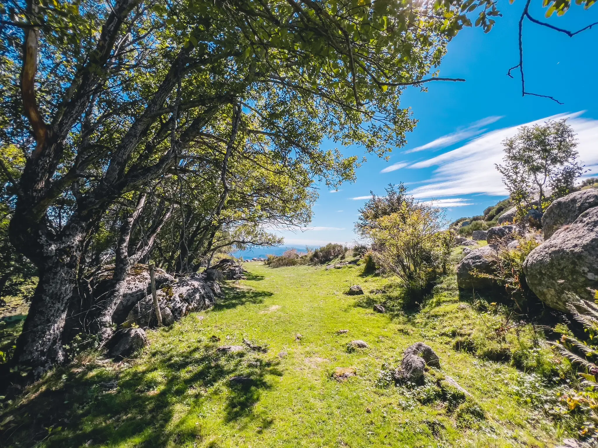
UNESCO landscapes and unique biodiversity – around Mont Lozère
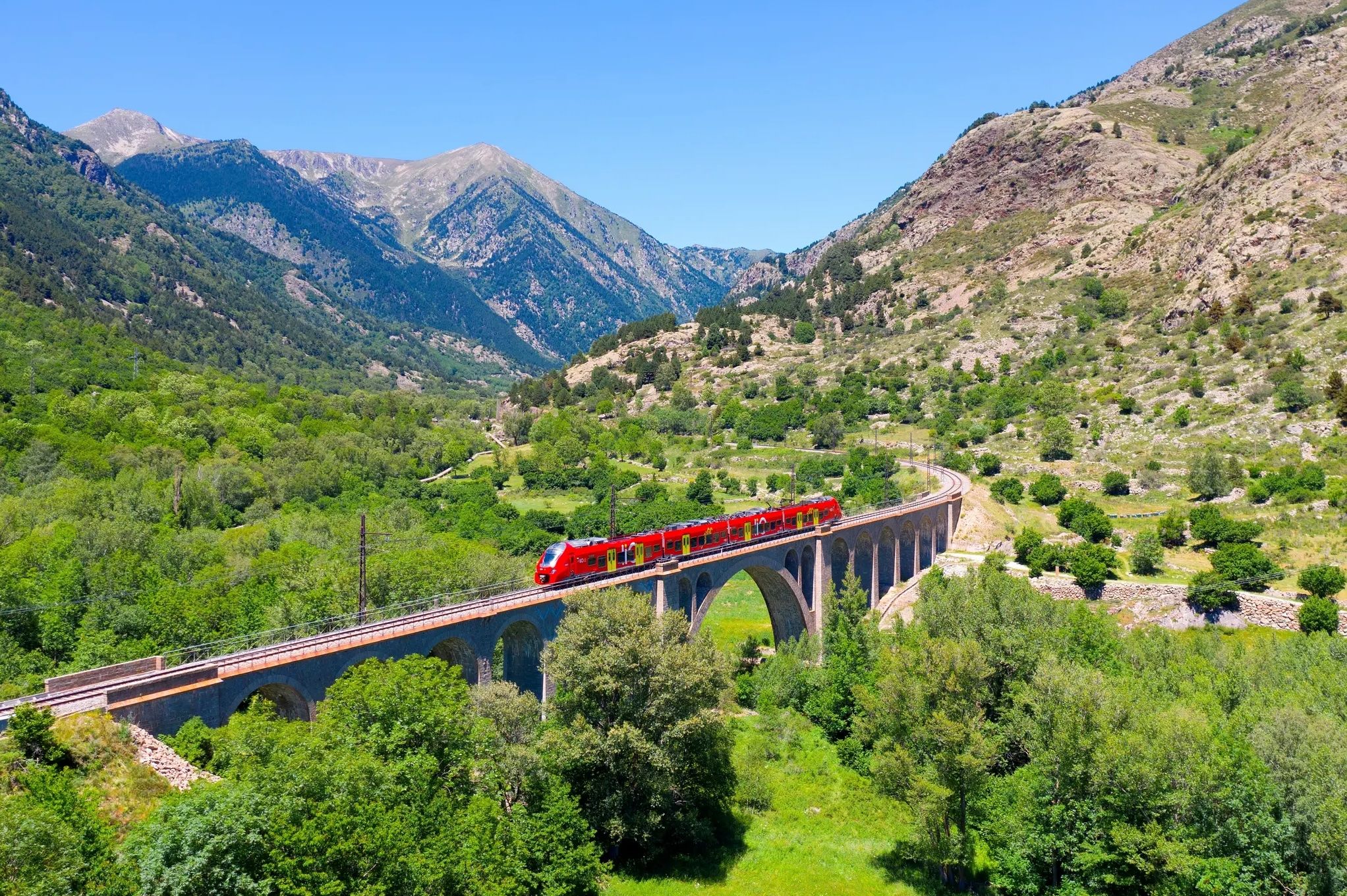
Occitanie Rail Tour – by train and on foot through Occitania
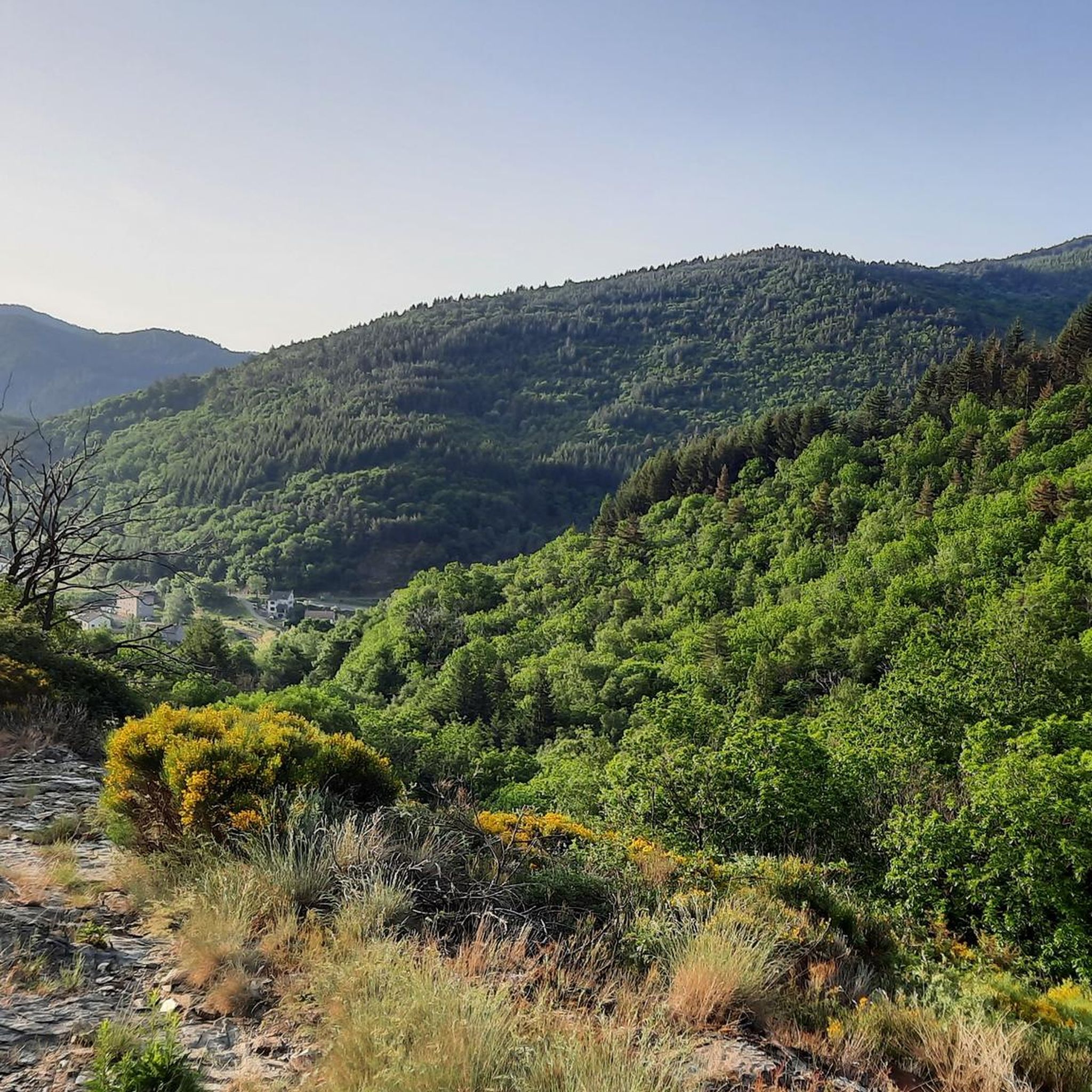
Hiking around Villefort
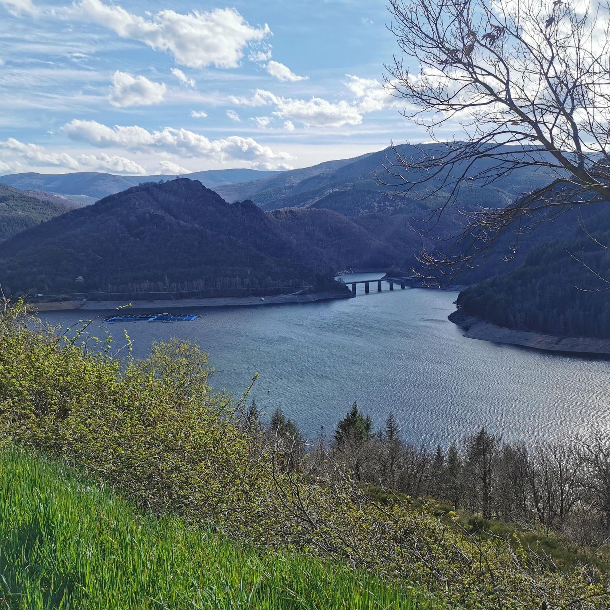
Road Cycling Routes around Villefort
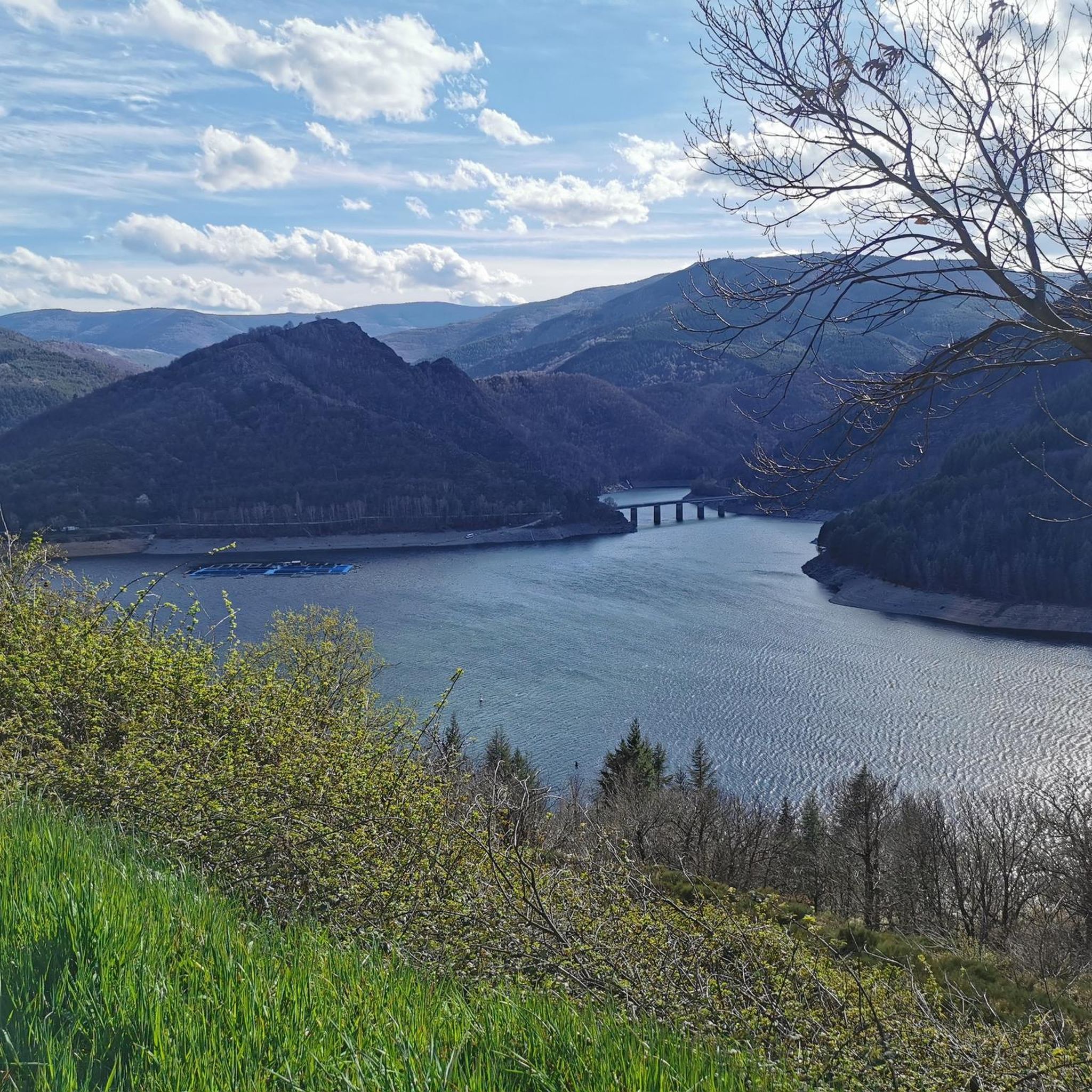
Cycling around Villefort
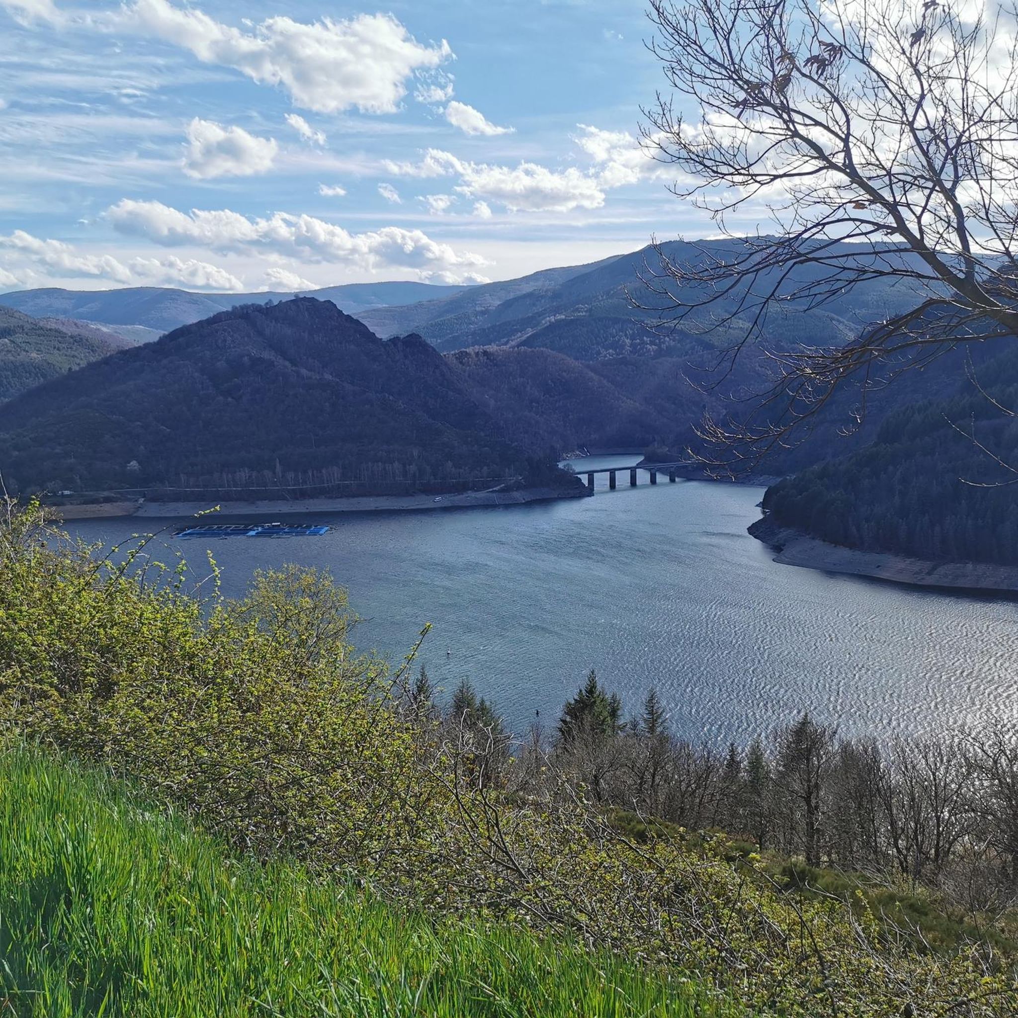
MTB Trails around Villefort
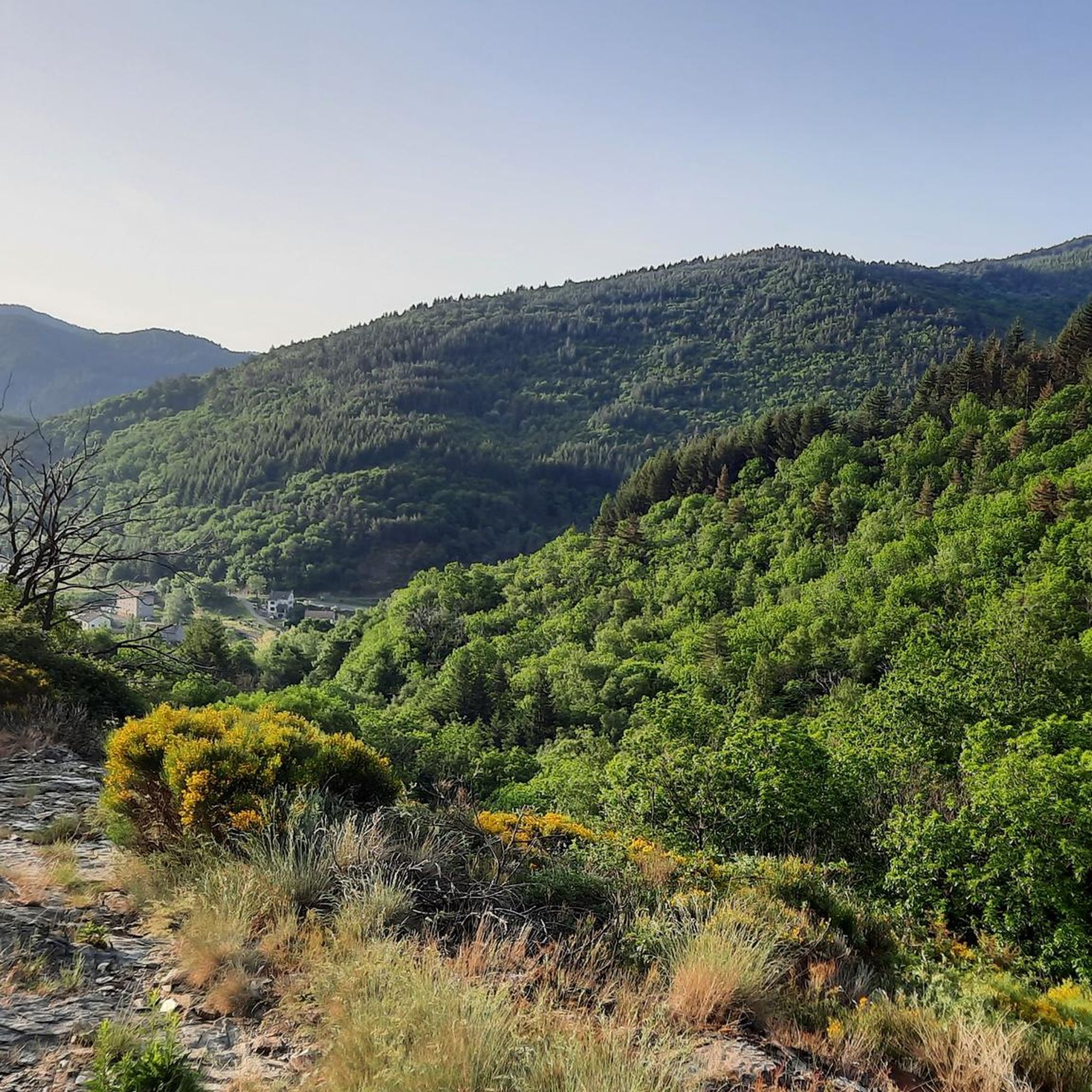
Running Trails around Villefort
Other adventures around Villefort


Tips from the Community

Road then gravel track to the Col du Péras. The track offers a clear view towards Concoules and its surroundings.
0
0

A road bike/gravel highlight of the region. Very beautiful, very narrow, very bumpy road from Bonnevaux into the valley. Wider tires are very useful here. Watch out for oncoming traffic!
0
0

To be absolutely avoided on a road bike, unless like me you want to die! The descent is in a pitiful and unworthy state! Presence of gravel, stones, and especially bumps and holes occupying for some half of the roadway and a depth of several cm! Impassable descent by road bike although a priori a Departmental road. A shame !
0
0

Whether you come from Villefort or Génolhac, it's very steep!
0
0

The Col de l'Aigle, less than a kilometer east of Pic Cassini, offers a magnificent view of the valley at an altitude of 1,605 meters.
0
0

This magnificent pass, which also has a pretty name, culminates at 1,474 meters above sea level. It is one of the highest passes in the Gard department.
0
0

Col du Peras, North-east descent is not really suitable for racebikes. The asphalt conditions are very, very poor! Be carefull.
1
0
The name is: Col du Peras. Altitude: 771m. The north-eastern descent/climb has very poor asphalt (be careful) , the southern side is good.
0
0
Frequently Asked Questions
What are some of the most scenic mountain passes around Villefort?
The region around Villefort, particularly within the Cévennes National Park, offers several scenic mountain passes. Col du Pré de la Dame is highly regarded for its phenomenal views, especially from the Villefort side, and culminates at 1,474 meters. Another notable pass is Col de l'Aigle, which offers spectacular panoramas of the Cévennes.
Are there challenging mountain passes for experienced cyclists near Villefort?
Yes, experienced cyclists will find challenging routes. The climb to Col du Pré de la Dame is considered a must-do in the Cévennes, featuring a challenging 15 km ascent with an average gradient of 7%. Both the ascent from Villefort and Génolhac are described as very steep.
What natural features can I expect to see when visiting mountain passes in this region?
The mountain passes around Villefort are set within the diverse landscape of the Cévennes National Park and Mont Lozère. You can expect to see vast expanses of pseudo-alpine grassland, dense forests of beech and fir, and granite boulders. The area is rich in flora, including wild tulips, blueberries, and broom, and offers opportunities for wildlife spotting like deer, roe deer, and wild boars.
What is the best time of year to visit the mountain passes around Villefort?
The changing seasons transform the mountain's appearance, offering different experiences. Spring brings vibrant yellow broom, summer features purple heather, and autumn showcases the red hues of wild blueberries. For cycling and hiking, late spring to early autumn generally offers the most favorable weather conditions, avoiding winter snows and extreme summer heat.
Are there any specific considerations for road conditions on these passes?
Yes, road conditions can vary. For instance, the north-eastern descent/climb of Col du Peras is known for very poor asphalt, with gravel, stones, bumps, and holes, making it unsuitable for road bikes. Wider tires are recommended for routes like the descent from Bonnevaux. Always check local conditions before heading out.
What outdoor activities can I do near the mountain passes around Villefort?
The region offers extensive opportunities for outdoor activities. Besides cycling the passes, you can enjoy hiking, mountain biking, and horse riding. The Mont Lozère area, in particular, is a haven for these activities. For specific routes, explore options like the hiking trails around Villefort or the road cycling routes.
Are there long-distance hiking trails that incorporate these mountain passes?
Yes, the Mont Lozère massif, which includes areas accessible from Villefort, is circumnavigated by the GR 68, a long-distance hiking trail. This trail offers magnificent and varied landscapes over 5-6 days, providing an immersive experience of the region's mountainous terrain and passes.
Are there any viewpoints or panoramic spots on the mountain passes?
Many passes offer excellent viewpoints. Col de l'Aigle is known for its spectacular Cévennes panorama. Col du Pré de la Dame provides phenomenal open vistas, especially when approaching from Villefort. The Mont Lozère region also features panoramic viewpoints like Pic Cassini.
Can I find amenities like cafes or accommodation near the mountain passes?
While Villefort itself offers amenities, some passes have facilities nearby. For example, the plateau at the top of Col du Pré de la Dame, near Mas de la Barque, is popular with hikers and day-trippers and offers opportunities for refreshments at a café.
What is the significance of Mont Lozère in relation to these passes?
Villefort is situated at the foot of Mont Lozère, a granite ridge that forms a significant part of the Cévennes National Park. This expansive mountainous area, culminating at Pic de Finiels (1,699 meters), provides the backdrop and context for many of the region's passes and scenic routes. It's a core area for natural heritage and outdoor activities.
Where can I find more information about the Cévennes National Park?
For more detailed information about the Cévennes National Park and its natural landscapes, you can visit the official tourism website: cevennes-tourisme.fr.
Most popular attractions around Villefort

Get inspired with the komoot mobile app


Explore more
See even more epic mountain passes by checking out these guides around Villefort:
