Top 12 Natural Monuments around Ville-Houdlémont
Best natural monuments around Ville-Houdlémont include a variety of natural features. This commune in northeastern France is situated in a region known for its diverse natural landscapes, including protected areas. The Cussignière marshes, extending into Belgium, are a significant natural attraction in the vicinity. The area offers 12 natural monuments for exploration.
Best natural monuments around Ville-Houdlémont
- The most popular natural monuments is Trou du Pérou Waterfall, a waterfall that features a steep landscape where the Fourneau stream has shaped a gorge. This site is notable for its rugged terrain and the erosion effects of the stream.
- Another must-see spot is Cron de Montauban, a natural monument characterized by petrifying limestone springs and remarkably contrasting vegetation. Visitors can expect to see diverse flora, including rare species, and a varied ecosystem.
- Visitors also love Tranchée des Portes Oppidum, an ancient fortified site with natural monument aspects. This location offers insights into protohistoric defense systems and features a deep ditch and rampart.
- Ville-Houdlémont is known for waterfalls, unique geological formations like crons, and historical sites integrated with natural landscapes. The region offers a variety of natural monuments to see and explore, from ecological reserves to ancient earthworks.
- The natural monuments around Ville-Houdlémont are appreciated by the komoot community, with 40 upvotes and 2 photos contributed by visitors.
Last updated: July 2, 2026
Cron de Montauban
Highlight • Natural Monument
Translated by Google •
Tip by

Tranchée des Portes Oppidum
Highlight • Historical Site
Translated by Google •
Tip by

Sign up now to discover places like this
Get recommendations on the best single tracks, peaks, & plenty of other exciting outdoor places.
Sign up for free
Éperons Barrés Viewpoint
Highlight • Viewpoint
Translated by Google •
Tip by
Trou du Pérou Waterfall
Highlight • Waterfall
Translated by Google •
Tip by
The Oak of the Three Communes
Highlight • Natural Monument
Mr. Maurice Simonet, a resident of Châtillon and member of the St-Léger history circle, explains: "There was a large iron cross nailed to the trunk. The metal served as a conductor for lightning, which struck the tree at least twice, probably three times. The large hole at its base was caused by lightning." The latter has skirted the cross from top to bottom, leaving a clearly visible mark. It was stolen around the year 2000, then replaced by a potale, also stolen. It is filled with nails, for unknown reasons. For Jean-Marie Lambert, DNF agent, nails are a votive offering. An ex-voto is a votive offering made to a god in request of a favor or in thanks for a favor obtained following a vow made to that effect. These objects can take many forms and be made of many materials. In 2002, it was listed as a remarkable tree. Mr. Lambert certifies that the inscription "Chêne des 3 communes" on the tree dates from before the merger of the municipalities.
Translated by Google •
Tip by
Sign up for free to discover even more natural monuments around Ville-Houdlémont.
Sign up for free
Already have an account?
Start today with a free account
Your next adventure awaits.
Login or Signup
Tips from the Community

The Trench of Gates: Gateway to Gaume, Gateway to Legends 1. What is it? Physical Description The Trench of Gates is a deep and spectacular rocky gorge, naturally carved by the Vire River (a tributary of the Semois) into the sandstone plateau of the Gaume forest. Located in the village of Dampicourt (commune of Rouvroy), on the French border, it forms a narrow and winding notch, framed by high sandstone walls and strangely shaped rocks. Its name comes from its topography: the site gives the impression of crossing several successive natural "gates." 2. A Strategic Position: Military History The true fame of the Trench of Gates comes from its historical role as a natural fortress and strategic border post. A Gallic Stronghold? : Its easily defensible configuration suggests that it was used as a refuge since the Gallic era. The Roman Fort: Its strategic role became evident during the Roman era. The Romans established a castellum (a fortified camp) there to control the passage between Belgic Gaul and Imperial Trier, and to protect the nearby Roman road. Remains of these fortifications were still visible several centuries ago. A Millennial Challenge: Due to its position on the border, the site has been contested and fortified throughout history, from the Middle Ages to modern wars. It offered an ideal control point over one of the few passable passages through the region's wooded terrain.
1
0

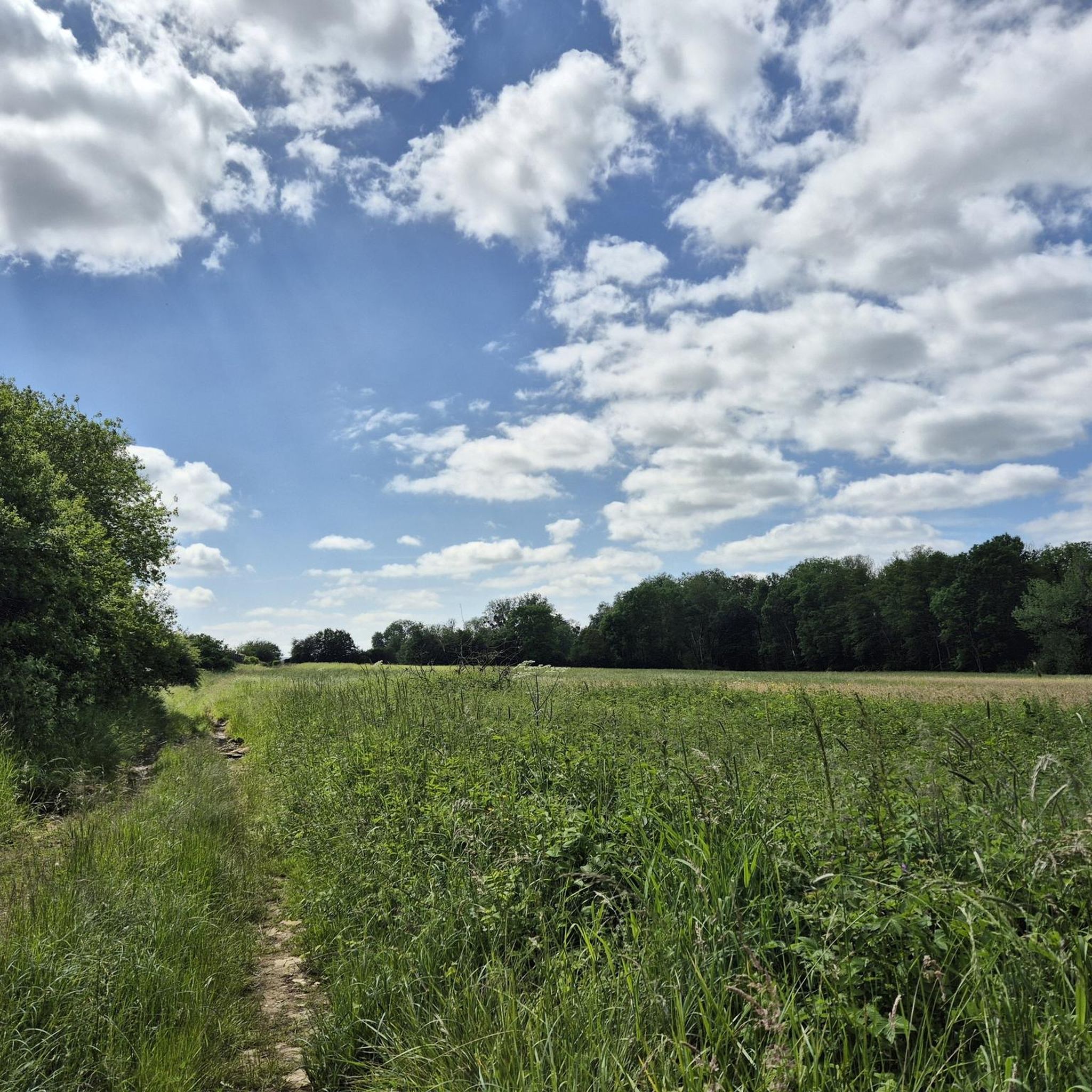
The trail from this viewpoint is a real balancing challenge towards the end, very rocky with large gravel. It seems to me that a few years ago the trail was not so perilous. It is part of the official permanent route "La Croix Renson en Gaume" which advises to do it clockwise, so this uphill trail is impossible! Except for a trialist with Hulk legs and a motorcycle traction. 🙄
0
0

It depends which way... 😀😇
0
0

It stings a little 😂
1
0

The origin of the place's name is mysterious. According to some, this name comes from a transcription of the name "Trou du Perdu" (Perisher's Hole). Amidst pine trees, heather, and blueberry bushes, this place represents a steep landscape where the Fourneau stream has shaped a gorge with a waterfall. A little higher up, a waterfall has formed and accentuates the erosion downstream. Above, the stream trickles over a slab of black sandstone. This formed above a significant layer of waterproof marl that stopped the infiltration of the sand present here to above it. A beautiful waterfall has formed due to the presence of the stream and the erosion that followed.
2
0
The Tranchée des Portes covers an area of 100 hectares. It is the largest Iron Age stronghold in Belgium. This development required an abundant workforce. The construction and maintenance of the rampart suggest a well-organized social entity. Unlike Montauban, which was occupied occasionally, the Tranchée des Portes is not a refuge but an oppidum, that is to say, a fortified site where people settled for the long term with their livestock and crops. It is a fortification that owes its name to the deep ditch (5 m) that precedes its rampart. Consisting of an earthwork over 3 m high, formerly surmounted by a palisade, this barrier, pierced by 3 gates, extends over 1 km. This type of defensive site is called a barred spur. It was often used in the protohistoric period (Iron Age). We chose a place with 2 or 3 steep and almost impassable sides and we blocked access by building a wall on the vulnerable side with what we found on the site (stones, trees, earth)
2
0
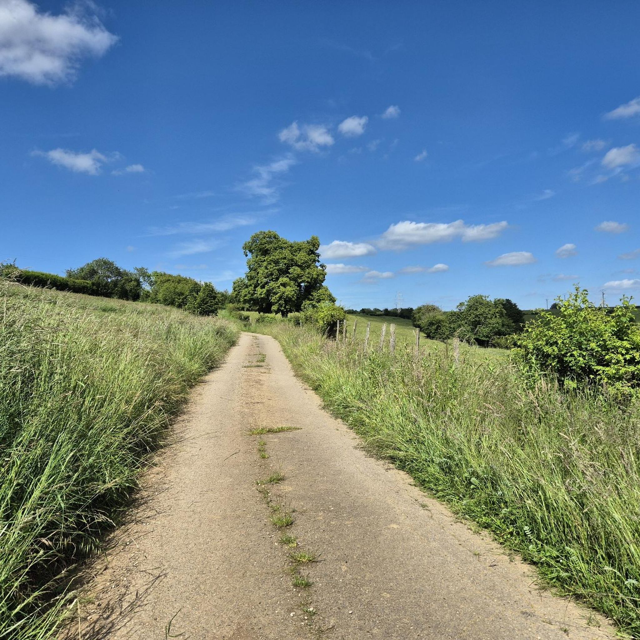
Very beautiful course & very pleasant paths for running!
0
0

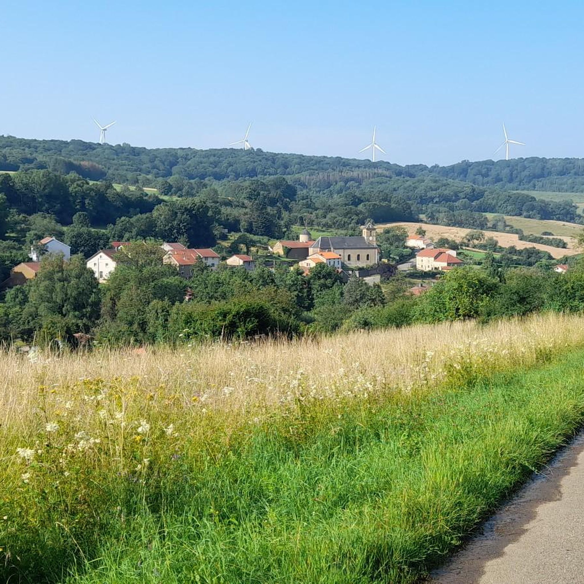
Nice view and Luxembourg bench ;)
0
0
Frequently Asked Questions
What unique natural features can I explore around Ville-Houdlémont?
Ville-Houdlémont is home to diverse natural features. You can discover the unique petrifying limestone springs and remarkably contrasting vegetation at Cron de Montauban, where rare plant species like parnassia thrive. Another notable site is the Trou du Pérou Waterfall, known for its steep landscape and a gorge shaped by the Fourneau stream.
Are there any historical natural monuments in the area?
Yes, the region offers natural monuments with significant historical context. The Tranchée des Portes Oppidum is an ancient fortified site dating from the Neolithic period, later occupied by Celts and Romans. It features remains of an earthen rampart and a deep ditch, showcasing protohistoric defense systems. Another site, the Éperons Barrés Viewpoint, offers panoramic views of the Neuve Forge valley and two Iron Age fortifications, the Châtelet and the Dent de Chien, which are examples of barred spurs.
What kind of wildlife can I expect to see in the natural monuments?
The natural monuments around Ville-Houdlémont are rich in biodiversity. At Cron de Montauban, you might spot rare flora such as blue sesleria and flea sedge, alongside a rare dragonfly, the bidentate cordulegaster. The Cussignière Marshes, a protected natural area extending into Belgium, are also a vital haven for diverse plant and animal species, making it an ideal spot for wildlife observation.
Are there family-friendly natural monuments or activities?
While specific family-friendly activities are not detailed for all sites, the Éperons Barrés Viewpoint is categorized as family-friendly, offering an accessible way to enjoy scenic views and historical context. The Cussignière Marshes also provide a peaceful environment for walks and nature immersion, suitable for families looking to appreciate local wildlife and natural heritage.
What outdoor activities can I do near these natural monuments?
The area around Ville-Houdlémont is excellent for various outdoor activities. You can find numerous routes for gravel biking, mountain biking, and running. For example, there are MTB trails like the 'Cussignière marsh – La Cussignière Marsh loop from Ville-Houdlémont' and running trails such as 'La Cussignière Marsh – Cussignière marsh loop from Ville-Houdlémont'. You can explore more options on the Gravel biking around Ville-Houdlémont, MTB Trails around Ville-Houdlémont, and Running Trails around Ville-Houdlémont guide pages.
Are there hiking trails near the natural monuments?
Yes, there are several hiking opportunities. For instance, a hike of approximately 8 km begins in the village of Saint-Léger to explore the Tranchée des Portes Oppidum. The Cussignière Marshes also offer ample space for walks and connecting with nature. You can find detailed routes and guides for various sports, including hiking, on komoot.
What is the Cussignière Marshes and why is it important?
The Cussignière Marshes (Réserve naturelle de Cussigny) is a protected natural area that spans across Ville-Houdlémont, Gorcy, and into nearby Belgian municipalities. It's recognized as a vital haven for diverse flora and fauna, making it particularly valuable for nature enthusiasts. The reserve offers a peaceful environment for nature immersion, traversed by the Cussigny stream, and highlights the shared natural heritage of the cross-border region.
What do visitors enjoy most about the natural monuments in Ville-Houdlémont?
Visitors appreciate the diverse natural landscapes and historical insights. The Trou du Pérou Waterfall is loved for its beautiful ruggedness hidden within dense forests, making it a great stop during a walk. The Tranchée des Portes Oppidum is noted as a place steeped in history, offering a glimpse into ancient fortifications.
Are there any other significant natural attractions in the broader Meurthe-et-Moselle department?
Beyond Ville-Houdlémont, the broader Meurthe-et-Moselle department features other natural attractions. These include the Limestone lawn from Rudemont and the Colline de Sion (Sion Hill). While the Cussignière Marshes are the primary natural monument directly associated with Ville-Houdlémont, these other sites offer additional opportunities for natural exploration in the region.
Can I visit the Halanzy Iron Mine Ruins as a natural monument?
The Halanzy Iron Mine Ruins are considered a historical site with natural monument aspects. You can explore the traces of mining activity, including entrances to underground tunnels and remains of the processing plant. The site also offers panoramic views of wooded hills and red sandstones, typical of the region's iron-rich sedimentary rock, blending industrial heritage with natural beauty.
What is a 'cron' and where can I see one?
A 'cron' refers to petrifying limestone springs, which are unique geological formations. You can see a prominent example at Cron de Montauban. Here, crystal-clear rivulets tumble down a steeply sloping clearing, fed by springs, creating a remarkably contrasting environment with diverse vegetation and ecological conditions.
How many natural monuments are there to explore around Ville-Houdlémont?
The area around Ville-Houdlémont offers a total of 12 natural monuments for exploration, ranging from waterfalls and unique geological formations to historical sites integrated with natural landscapes.
Most popular routes around Ville-Houdlémont
Most popular attractions around Ville-Houdlémont

Get inspired with the komoot mobile app


Explore more
Extend your search for the best caves by checking out these guides of the top ones around Ville-Houdlémont:
