Top 3 Mountain Passes around Villars
Best mountain passes around Villars offers access to a variety of routes for cycling and hiking. The region features diverse terrain, from challenging climbs to scenic routes with moderate gradients. These passes are known for their varied landscapes and provide opportunities for outdoor activities across different skill levels. The area's passes are frequented by cyclists and hikers seeking both demanding ascents and enjoyable descents.
Best mountain passes around Villars
- The most popular mountain passes is Col de la Liguière (998…
Last updated: October 5, 2026
Col de la Liguière (998 m)
Highlight • Mountain Pass
Translated by Google •
Tip by

Pointu Pass
Highlight • Mountain Pass
Translated by Google •
Tip by
Sign up now to discover places like this
Get recommendations on the best single tracks, peaks, & plenty of other exciting outdoor places.
Lagarde-d'Apt climb
Highlight (Segment) • Climb
Translated by Google •
Tip by

Col de Murs (627 m)
Highlight (Segment) • Mountain Pass
Translated by Google •
Tip by

Gorges de la Nesque – Col de Notre-Dame des Abeilles
Highlight (Segment) • Gorge
Translated by Google •
Tip by

Start today with a free account
Your next adventure awaits.
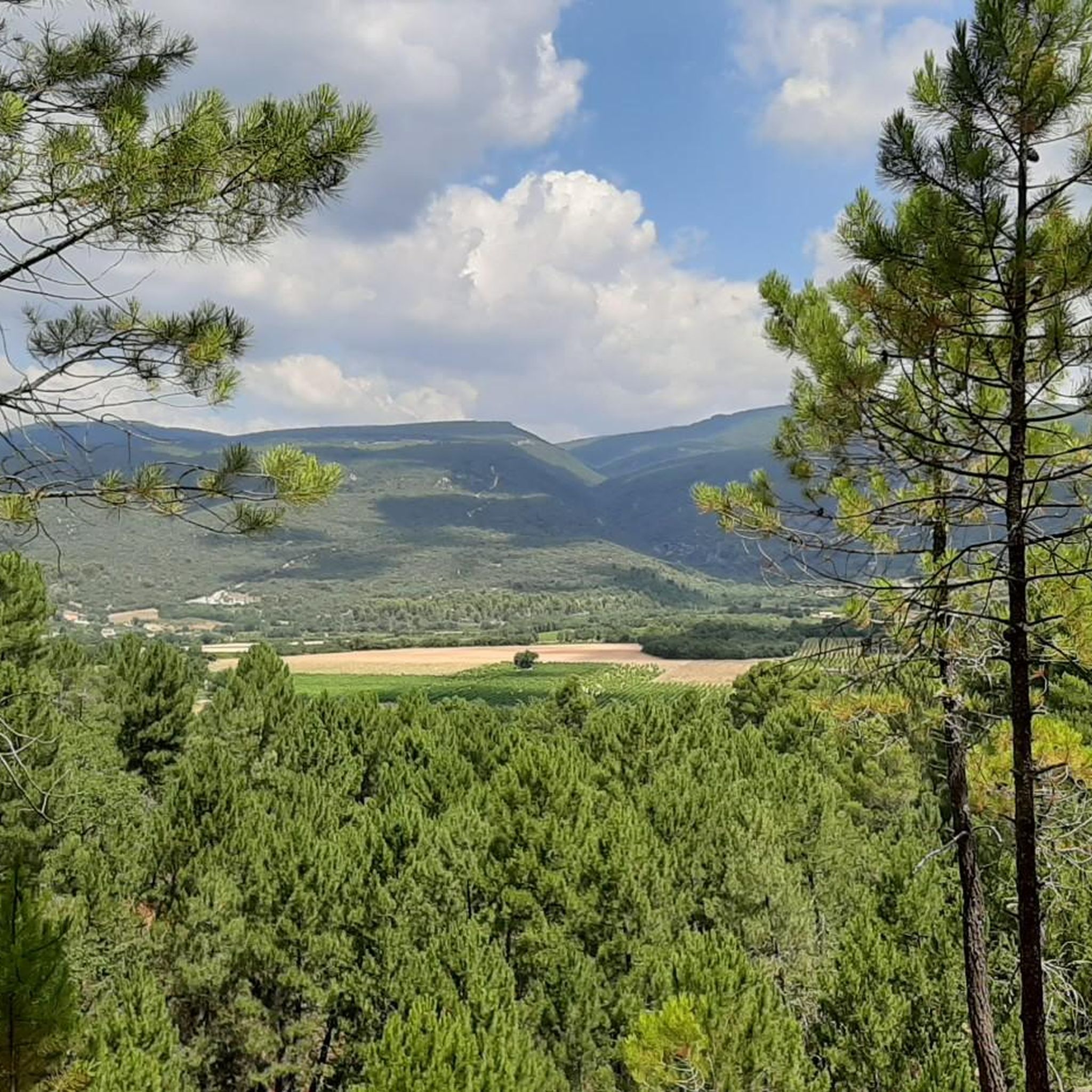
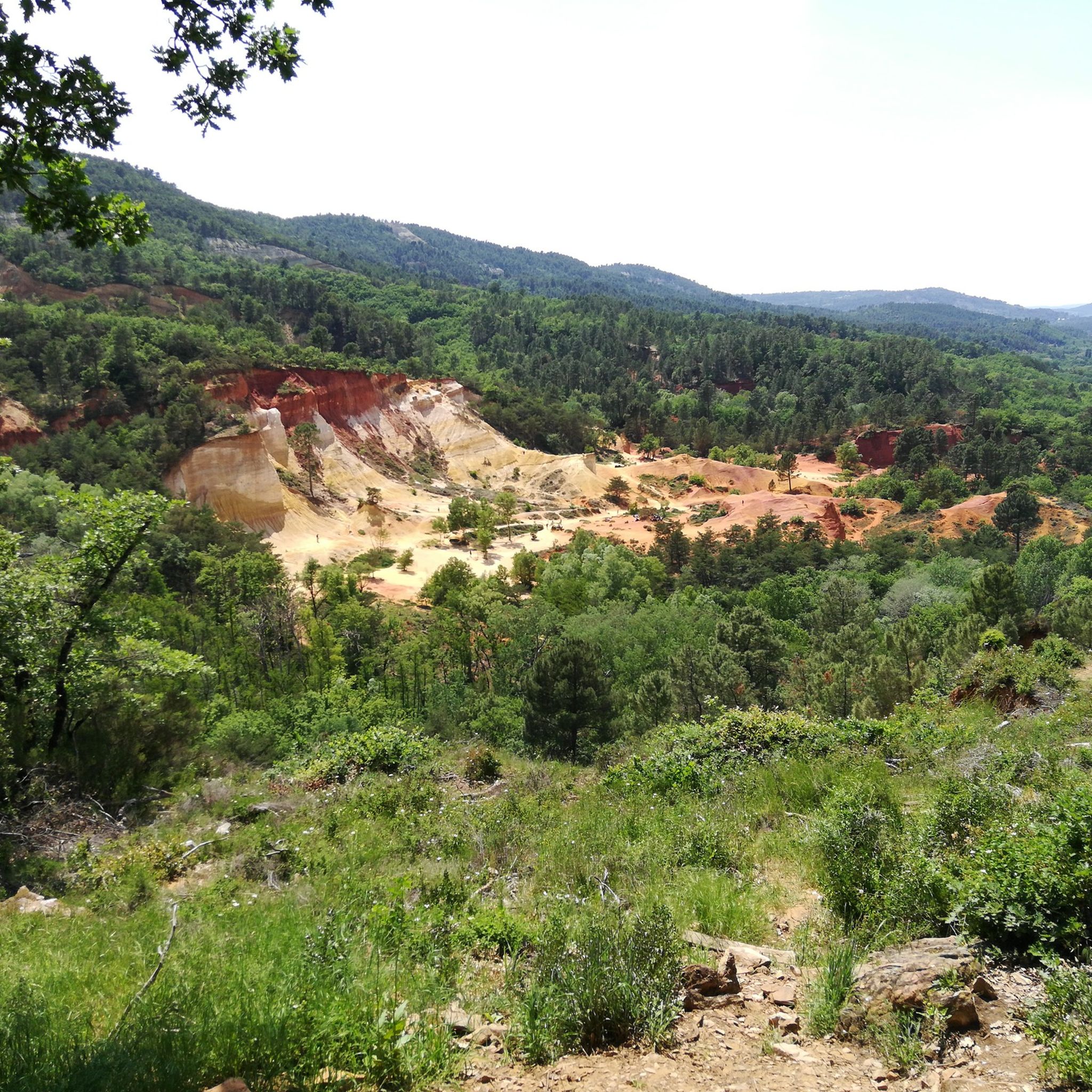
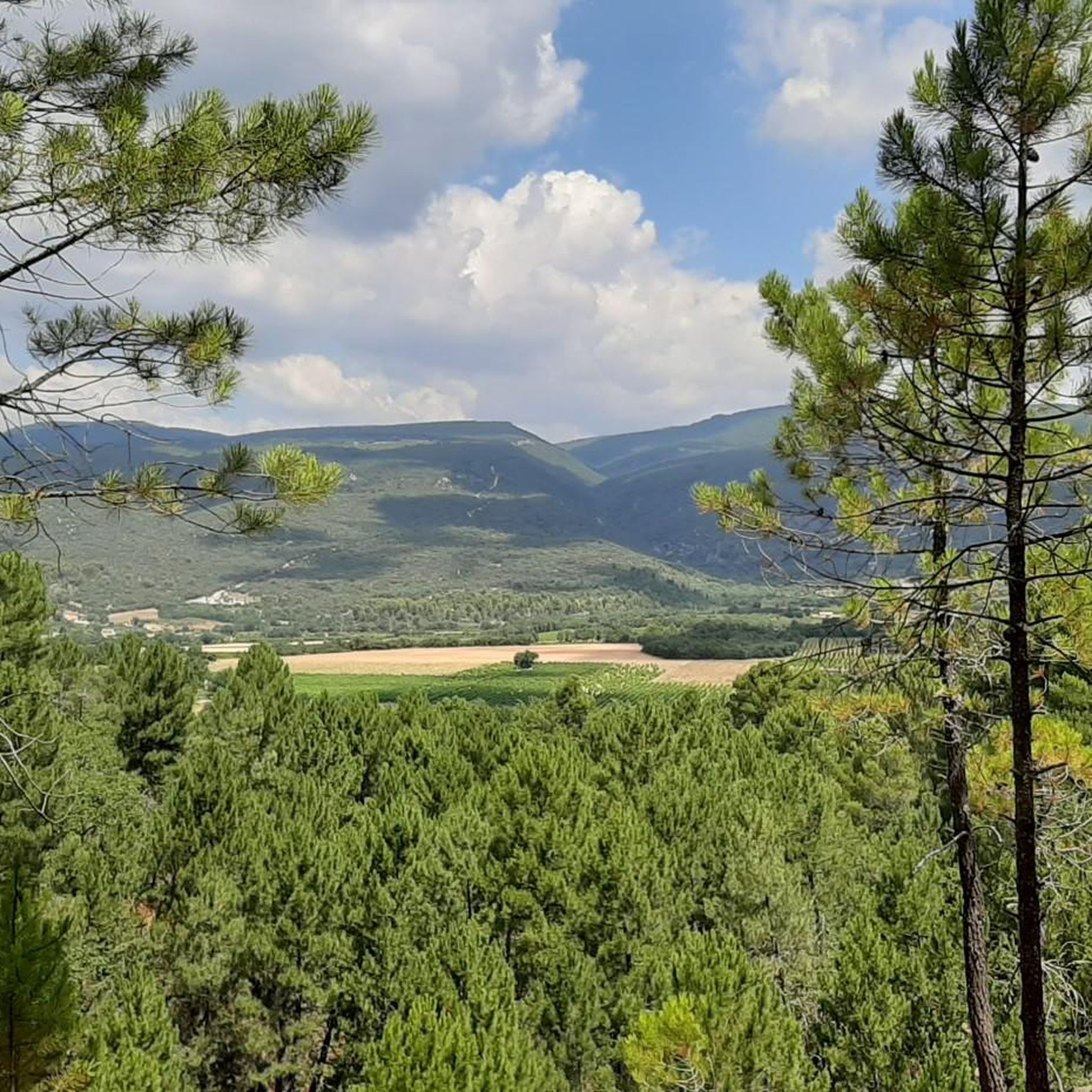
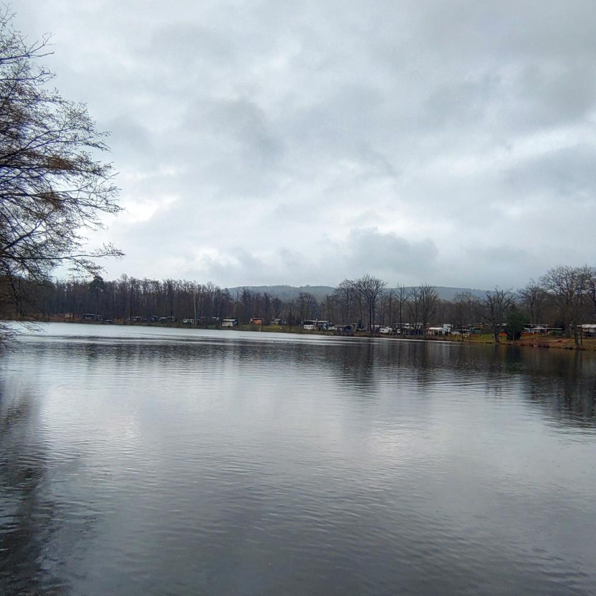
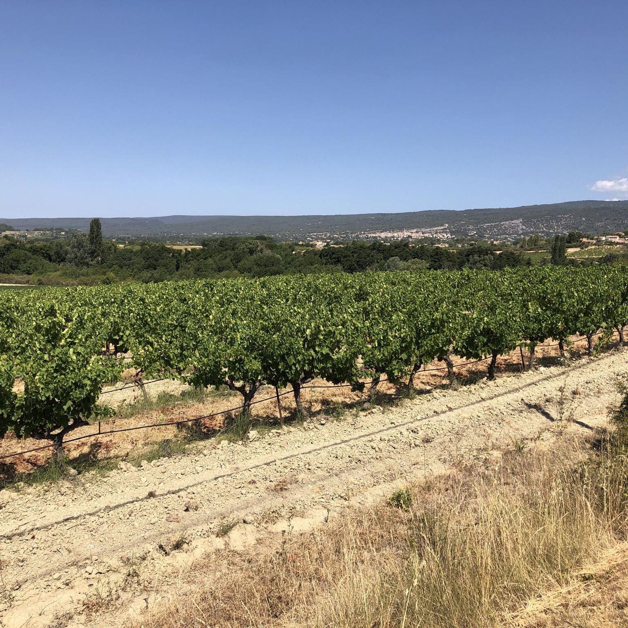
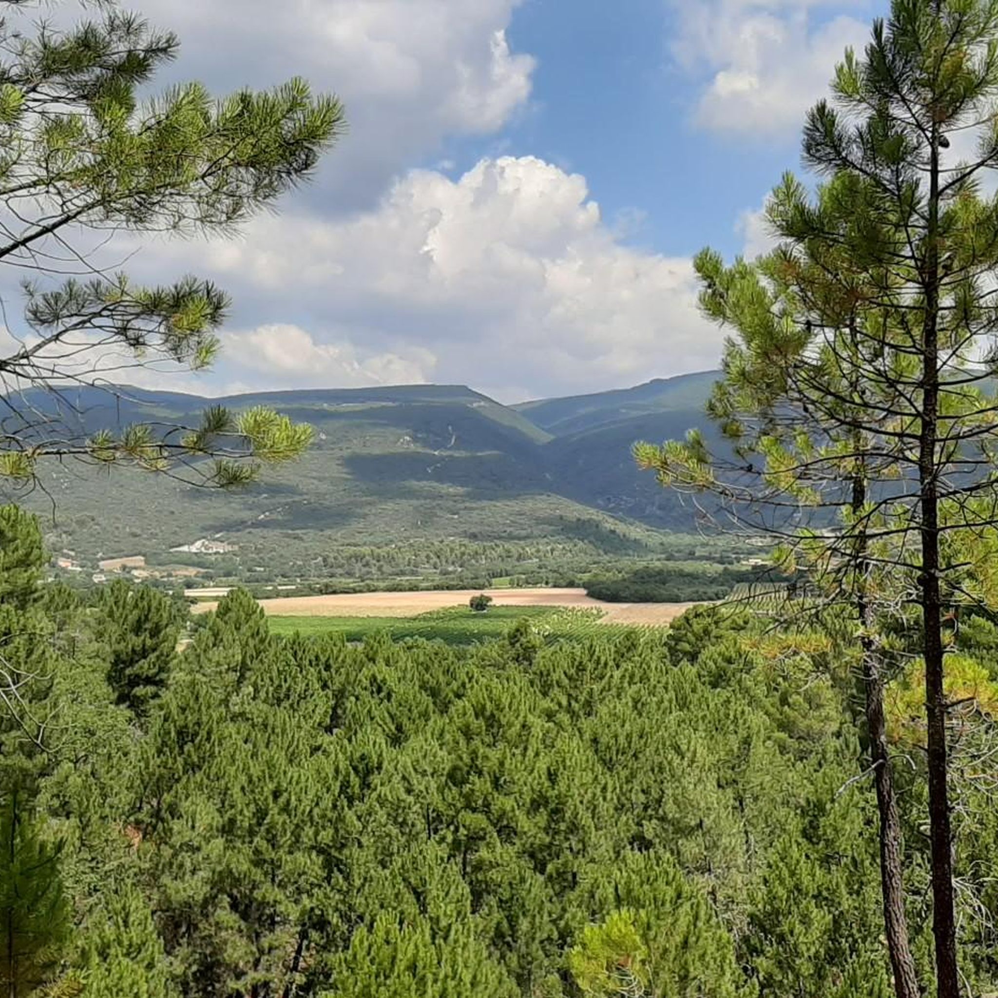
Tips from the Community

very quiet road, few cars
0
0


Gravel to the Col de Notre Dames des abeilles. Steep climb past dilapidated farms and herb fields.
0
0

The climb is preferably done under the midday sun. It is then very warm.
0
0

NO TRAFFIC BUT VERY STEEP INCLINE
1
0

A gentle climb, little challenge. It's more about staying relaxed because of all the car traffic. It's just a main axis over the mountain in the middle
0
1
Nice, but the climb is quite a climb due to its length. Only afterwards did I see that Cat. 1... And the sun is fully on the slope at midday
0
0

The Col is 9 km long and quite tough, up to +/- 10%. The last km is less steep. At the top you see the inevitable Mont Ventoux.
0
0
Frequently Asked Questions
What are some of the most scenic mountain passes to explore near Villars?
For breathtaking views, consider the Col de Murs (627 m), which offers beautiful panoramas over the Luberon. The Col de la Liguière (998 m) is also known for its challenging ascent and rewarding scenery, especially for cyclists. Additionally, the Col de la Croix, easily accessible from Villars, provides stunning vistas of the Diablerets massif and surrounding peaks.
Are there challenging mountain passes for experienced cyclists around Villars?
Yes, several passes offer significant challenges. The Col de la Liguière (998 m), for instance, features an average gradient of 6.4% with maximums up to 8.5%. The Lagarde-d'Apt climb is also noted as a beautiful, steady, and quite long ascent, classified as Cat. 1. The Col de la Croix is considered one of Switzerland's longest and most challenging ascents for cyclists from the Rhône Valley.
What kind of road conditions can I expect on the mountain passes?
Conditions can vary. For example, the descent from the Col de la Liguière (998 m) is described as bumpy due to bad road conditions, though still passable with a racing bike. Some roads, like the Lagarde-d'Apt climb, are very exposed to the sun, especially after morning hours, so be prepared for direct sunlight.
Are there any mountain passes suitable for gravel cycling?
Yes, the area around the Col de la Croix offers varied landscapes perfect for gravel cycling, with routes winding between mountain pastures and forests. For a more specific gravel experience, the Gorges de la Nesque – Col de Notre-Dame des Abeilles features a steep gravel climb past dilapidated farms and herb fields.
What outdoor activities can I do near these mountain passes?
Beyond cycling, the region around Villars is excellent for various outdoor activities. You can find numerous running trails, road cycling routes, and mountain biking trails. Bretaye, accessible by cogwheel railway from Villars, is a hub for hiking and mountain biking, with trails around Lac de Bretaye and Lac des Chavonnes.
Are there any easy or beginner-friendly mountain pass experiences near Villars?
While many passes offer challenges, the Pointu Pass is described as a good option for exercise and warming up before tackling higher ones, with an average slope of 4%. For a less strenuous experience, consider visiting Bretaye via the cogwheel railway; from there, you can enjoy relatively easy walks around the lakes.
What should I bring when cycling or hiking these mountain passes?
It's always wise to be prepared. For cycling, especially on passes like the Pointu Pass, ensure your brakes are in good working order, your tires are suitable for varied conditions, and you carry enough water, particularly in summer. Given the sun exposure on some climbs, sun protection is also recommended.
What are some notable viewpoints along the mountain passes?
The Col de Murs (627 m) offers beautiful views over the Luberon. The Col de la Croix provides breathtaking panoramas of the Diablerets massif. From Le Chamossaire peak, which can be reached from Bretaye, you can admire stunning views across the Rhône Valley and the French-Swiss Alps.
Can I access these mountain passes by car?
Many mountain passes, including the Col de la Croix, are accessible by car. However, some areas like Bretaye are primarily accessed by a historic cogwheel railway from Villars, serving as a starting point for further exploration on foot or bike.
What makes the Col de la Croix a popular destination?
The Col de la Croix is highly regarded for its stunning alpine scenery and as a significant challenge for road cyclists, even attracting international races. It offers breathtaking panoramas of the Diablerets massif and varied landscapes for gravel cycling. It's also accessible for pedestrians via a train to Bretaye and a subsequent walk.
Are there any specific tips for the descent from mountain passes?
When descending, especially from passes like the Col de la Liguière (998 m), be aware that road conditions can be bumpy. Always ensure your brakes are in excellent condition, as highlighted for the Pointu Pass, to ensure a safe and controlled descent.
Most popular routes around Villars
Most popular attractions around Villars

Get inspired with the komoot mobile app


Explore more
See even more epic mountain passes by checking out these guides around Villars:
