Top 12 Natural Monuments around Mont-Saxonnex
Best natural monuments around Mont-Saxonnex are found at the foot of the Bargy mountain range in Haute-Savoie, France. This region features natural monuments known for their geological formations and opportunities for outdoor activities. The area offers diverse landscapes, from high mountain passes to serene lakes. These sites provide a range of experiences for those exploring the natural environment.
Best natural monuments around Mont-Saxonnex
- The most popular natural monuments is Le Môle summit cross, a summit that offers exceptional views,…
Last updated: July 2, 2026
Lac Bénit
Highlight • Lake
Translated by Google •
Tip by

Gorges du Pont du Diable
Highlight • Gorge
Translated by Google •
Tip by

Sign up now to discover places like this
Get recommendations on the best single tracks, peaks, & plenty of other exciting outdoor places.
Sign up for free
Pic de Jallouvre
Highlight • Summit
Translated by Google •
Tip by

Daney Cross
Highlight • Summit
Translated by Google •
Tip by

Le Môle summit cross
Highlight • Summit
Translated by Google •
Tip by

Sign up for free to discover even more natural monuments around Mont-Saxonnex.
Sign up for free
Already have an account?
Start today with a free account
Your next adventure awaits.
Login or Signup

Tips from the Community

Very nice hike. It was quite crowded today. Contrary to what’s written in the description, I didn’t see any particularly risky passages
0
0

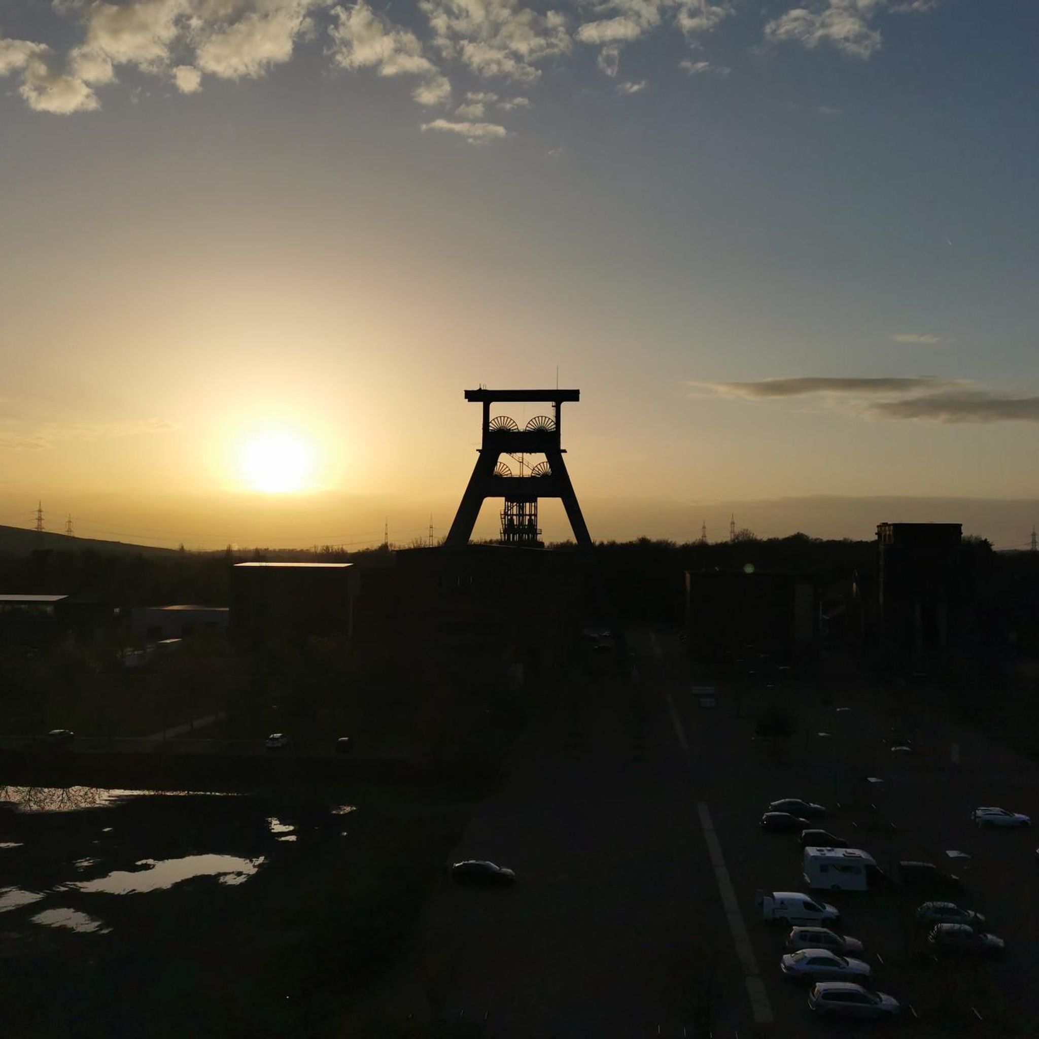
As you climb the challenging trail to the top of Tête du Danay, you’ll be rewarded with breathtaking panoramic views of the surrounding mountains and valleys. Once you reach the top, you’ll come across the iconic Croix du Danay, an imposing cross that marks the highest point in the region. From this vantage point, you can admire the picturesque villages, winding rivers and lush forests that characterize the landscape.
0
0

A majestic summit resembling a pyramid from the Cenise side, the Jallouvre - or Jalouvre - is a mythical summit whose ascent, although not difficult compared to its neighbor Pointe Blanche overhanging it by 30m, remains in the memory like that of a almost epic adventure between grueling scree (on both sides), the mythical Col du Razoir (the aptly named) and the Passage de la Cravate which, in the end, poses no more problem than that when the residual snowfields have disappeared, unless that we are subject to vertigo. In summary, one of the most beautiful hikes in the area in my opinion, for which you still need to be sure-footed and in good shape, but which can be tamed quite easily. Do not miss !
1
0

Incredible nature, the river has carved out a passage
0
0

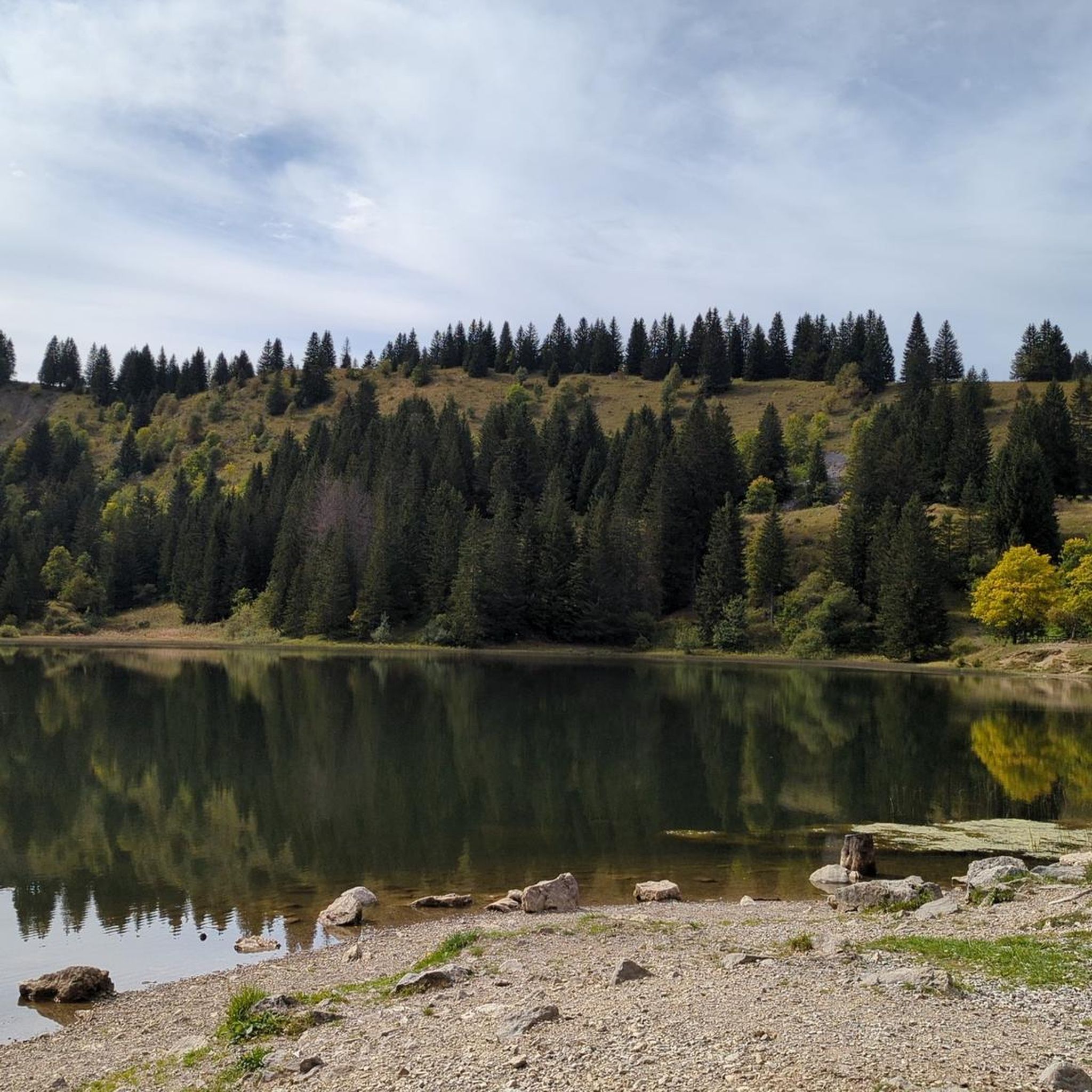
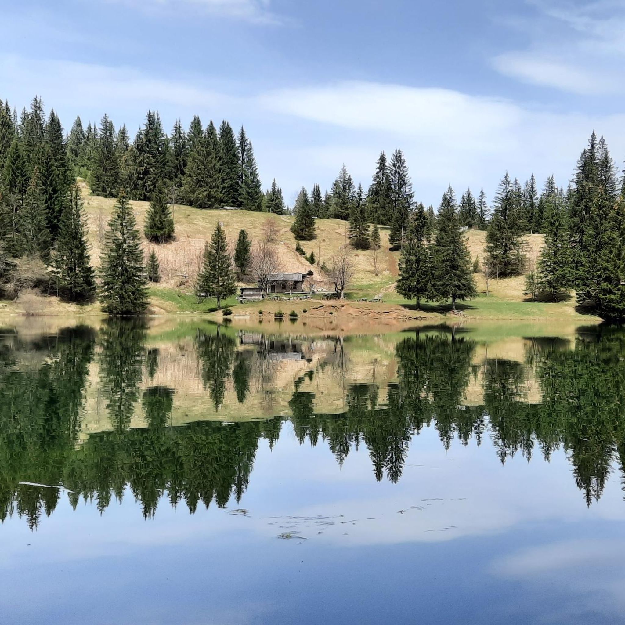
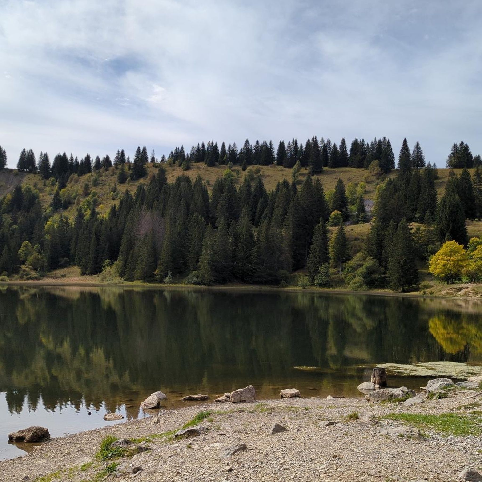
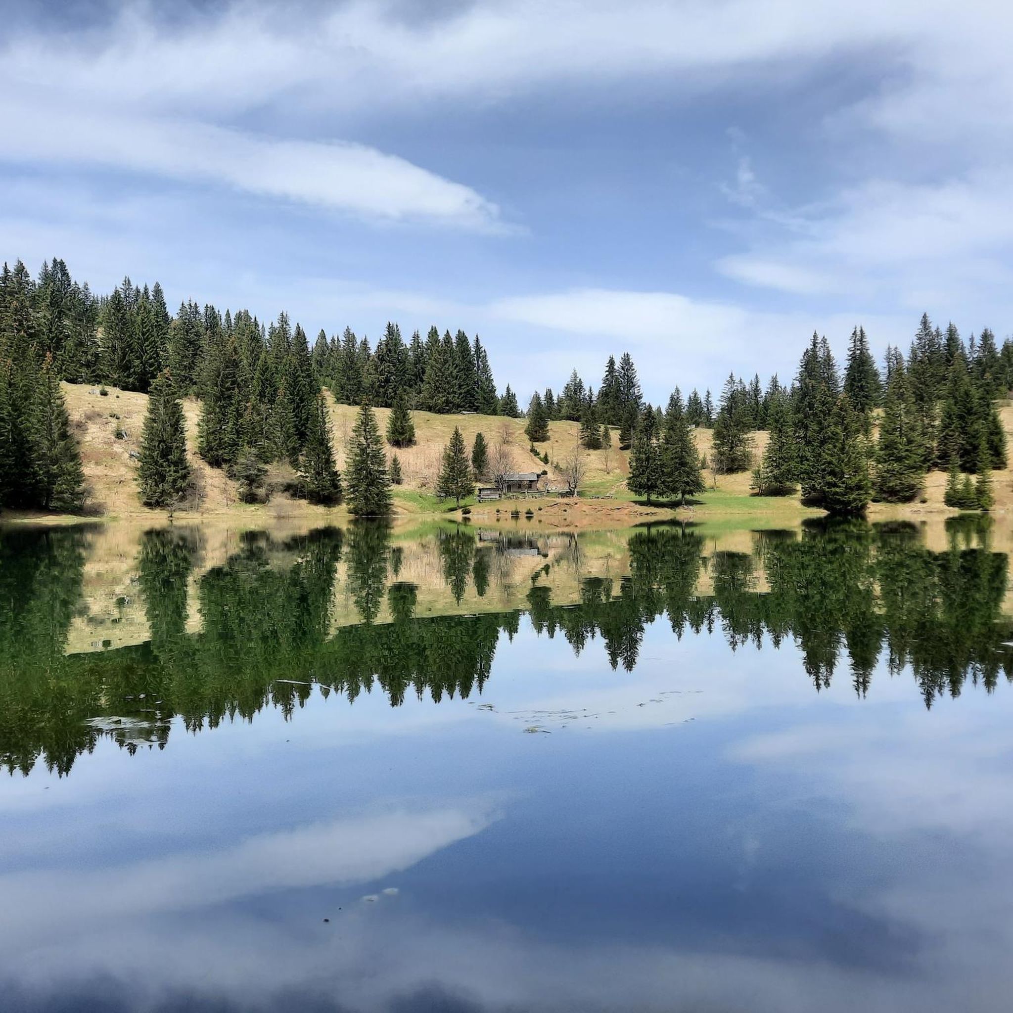
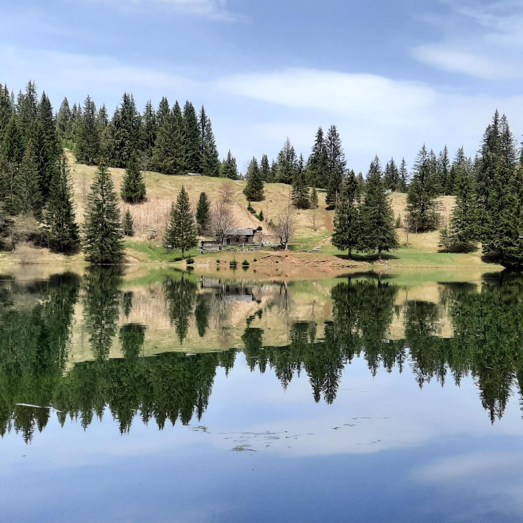
Lake Bénit is located at an altitude of 1,452 meters, on the northern slope (ubac) of the Bargy chain, in the Bornes1 massif. It is dominated to the south by the limestone wall of the Bargy chain from where the scree of the Col d'Encrenaz cirque spills out and delimits the south-west shore of the lake. The northwest bank corresponds to the slope of the old glacial basin while the east bank opens onto the valley of the Lac Bénit stream. In 1988, Father Arsène Bourgeaux, ethnographer, in a publication dedicated to the parish, indicated that the lake, “for the inhabitants of the Mont is considered as a sort of founding place where the identity of a population originates” 7. The lake was the subject of processions by the populations of Marnaz and Mont-Saxonnex, on Saint Claude's Day, in order to protect the villages from flooding. The lake benefited from developments in the early 1960s, notably with the raising of the lake level, which made it possible to double its surface area7. The inauguration took place on July 11, 19657. A mass was improvised by priest Claude Scherantz. Lake Bénit is the subject of many legends. One of them relates that the fairies came to bathe there and were at the origin of the production of butter and tomme in the town. A second legend says that an episcopal ring is found in the lake9. Following a deadly avalanche, the bishop of the diocese is said to have gone “in a grand procession” to bless the lake and to have thrown “his episcopal ring into the waves asking heaven that such a catastrophe never happens again”9. Another version says that the object was so heavy that it fell into the lake at the time of the blessing9. According to this legend, an avalanche emptied the lake and flooded Marnaz below4. Finally Alphonse Favre (en) reports that “this lake is due to a collapse in which a fir forest disappeared. As for the time, it can only be established in a very doubtful manner, by the fact that an old man from the village of Brezon assured, around 1845, that this event had happened in his father's youth. »1
0
0

The Gorges du Giffre, at the Pont du Diable, represent a very aesthetic canyon, when the sun is in the axis, it gives extraordinary lights. These mythical gorges are steeped with a rather horizontal profile. The geological formation of the Gorges du Giffre is formed by a lock, called a glacial lock. On the bottom of the valley, the folds of the limestone layers are oriented perpendicular to the axis of the valley. During the Quaternary era, these limestones offered greater resistance to the erosion of the glacier. He was only able to hollow out the layers occasionally. The pots were dug afterwards, by repeated movements of water and pebbles
0
1

Great summit, which is also worthwhile because of the ascent via the "razor blade" and the "tie"
0
0
Frequently Asked Questions
What are some of the most notable natural monuments around Mont-Saxonnex?
The region offers a variety of impressive natural monuments. You can explore the beautiful Lac Bénit, known for its stunning setting at the foot of a limestone cliff. Another remarkable site is the Gorges du Pont du Diable, where the river has carved out an aesthetic canyon. For panoramic views, consider visiting Daney Cross on Tête du Danay, or the majestic Pic de Jallouvre.
Are there family-friendly natural monuments around Mont-Saxonnex?
Yes, Lac Bénit is considered a prime spot for family walks. The hike to the lake is manageable, and the unique 'eyes and nose' rock formation on the cliff face adds an element of wonder for all ages. The surrounding area also offers opportunities for gentle exploration.
What kind of outdoor activities can I do near these natural monuments?
The area around Mont-Saxonnex is ideal for various outdoor activities. You can enjoy extensive hiking, with trails traversing forests, alpine pastures, and ridges. Cycling is also popular, with options for both road cycling and touring. For specific routes, you can explore the hiking guide or the cycling guide for Mont-Saxonnex.
What wildlife can I observe in the natural monuments around Mont-Saxonnex?
The Bargy Massif, which forms the backdrop to Mont-Saxonnex, is home to diverse wildlife. Hikers can often spot ibex, chamois, and marmots. Keep an eye out for bearded vultures (Gypaète Barbu), which have been successfully reintroduced to the region and can sometimes be observed with binoculars.
What is the best time of year to visit the natural monuments in Mont-Saxonnex?
Many natural monuments, such as Tête du Danay, are accessible in all seasons, offering different experiences throughout the year. However, for hiking and enjoying the full range of outdoor activities, the spring, summer, and early autumn months generally provide the most favorable weather conditions and open trails.
Are there challenging natural monuments or hikes in the area?
Yes, for those seeking a challenge, the ascent to Pic de Jallouvre is a memorable experience. It's described as a mythical summit with grueling scree sections and passages like the Col du Razoir and Passage de la Cravate, requiring sure-footedness and good physical condition. It offers one of the most beautiful, albeit demanding, hikes in the area.
Are there places to eat or get refreshments near the natural monuments?
Yes, for example, the Col des Annes, a mountain pass offering panoramic views, serves as a popular resting spot. Here, you can find refreshment bars and restaurants where visitors can sample local specialties while enjoying the surrounding countryside after an ascent.
How long does it typically take to visit a natural monument like Lac Bénit?
Visiting Lac Bénit typically involves a walk of about 2.5 hours from Le Jarbay residence. There are also various hiking loops from Mont-Saxonnex that can include the lake, which might extend the duration depending on the chosen route.
What should I wear when visiting the natural monuments around Mont-Saxonnex?
Given the mountainous terrain and varying weather conditions, it's advisable to wear appropriate hiking footwear, layers of clothing, and waterproof gear, especially if you plan to hike. Even in summer, temperatures can change quickly at higher altitudes. Don't forget sun protection and sufficient water.
Are there circular walks available around the natural monuments?
Yes, the region offers several circular routes. For instance, you can find loops like the 'Lac Bénit – Prachtig bergmeer loop from Mont-Saxonnex' or the 'Lac Bénit – Lac de Morsullaz loop from Mont-Saxonnex' in the hiking guide, allowing you to explore the natural beauty and return to your starting point.
Can I access the natural monuments around Mont-Saxonnex using public transport?
While specific public transport routes directly to all natural monuments may be limited, Mont-Saxonnex itself is a village in Haute-Savoie. For detailed information on reaching specific trailheads or sites via public transport, it's best to consult local tourism resources such as the Cluses Montagnes Tourisme website.
What makes the Gorges du Pont du Diable a unique natural monument?
The Gorges du Pont du Diable are unique because the Giffre river has carved out a very aesthetic canyon through a glacial lock. The geological formation features folds of limestone layers, and when the sun aligns, it creates extraordinary lighting effects, showcasing the power of natural erosion over time.
Most popular routes around Mont-Saxonnex
Most popular attractions around Mont-Saxonnex

Get inspired with the komoot mobile app


Explore more
Extend your search for the best caves by checking out these guides of the top ones around Mont-Saxonnex:
