Top 10 Natural Monuments around Montmaur-En-Diois
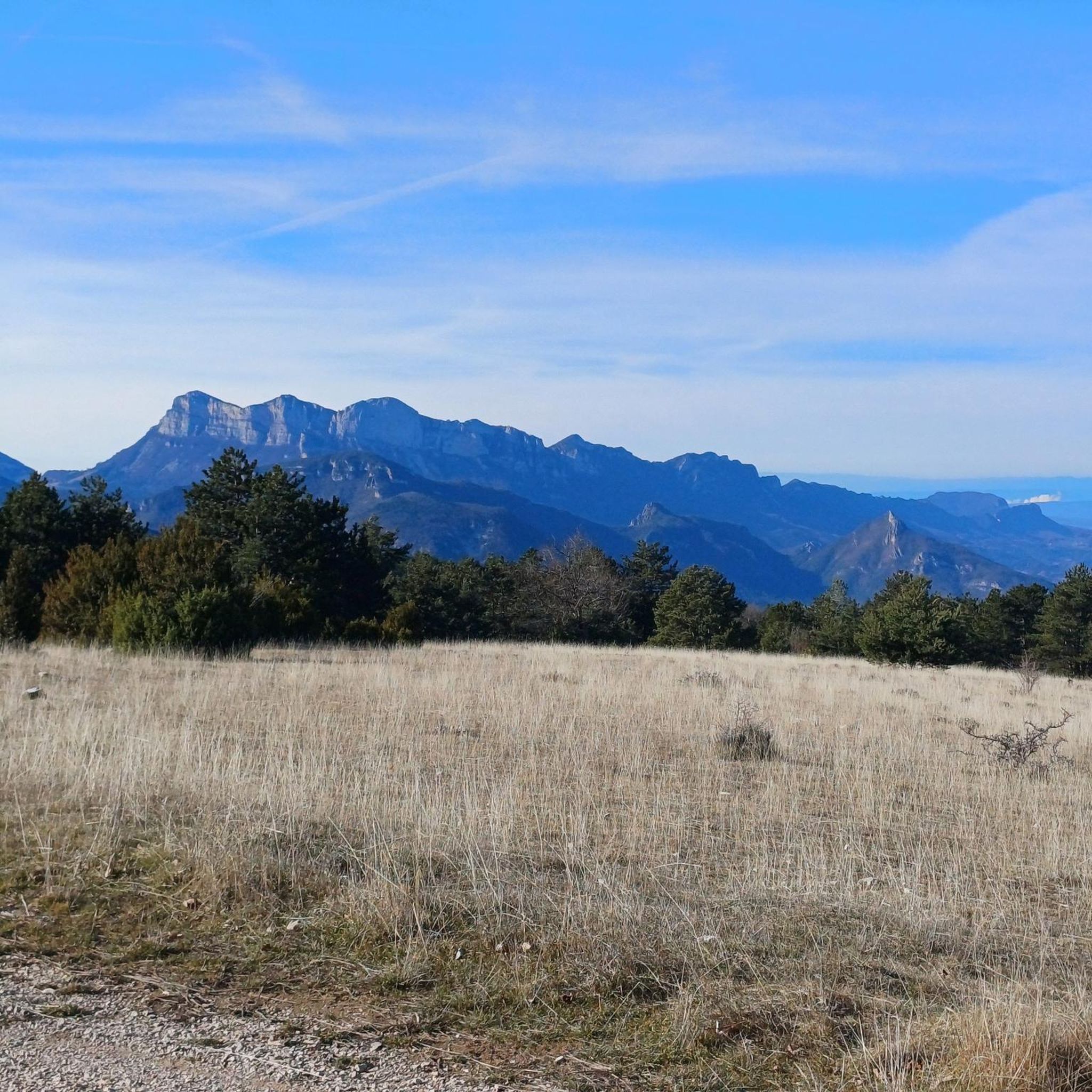
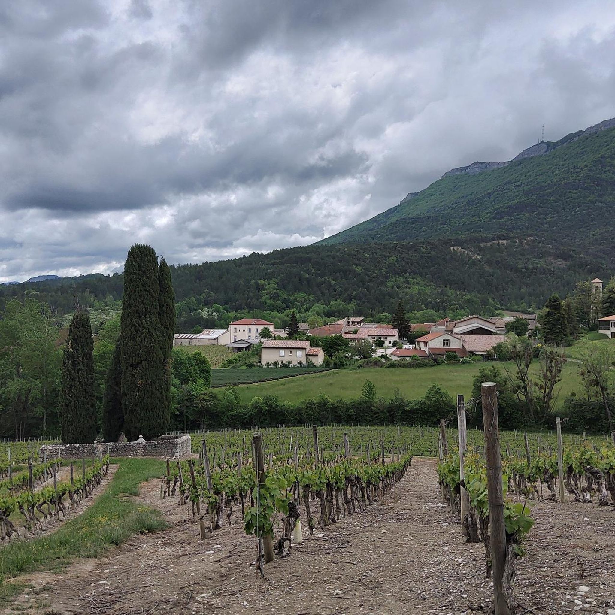
Best natural monuments around Montmaur-En-Diois are found within the Pays Diois region, offering a diverse range of geological formations and natural landscapes. This area, situated in the western foothills of the Alps, is characterized by its mountains, valleys, and rivers. Montmaur-En-Diois itself provides panoramas of the Glandasse and the Drôme valley. The region is ideal for those seeking unique natural beauty and outdoor exploration.
Best natural monuments around Montmaur-En-Diois
- The most popular natural monuments is Saut de la Drôme and…
Last updated: July 2, 2026
Saut de la Drôme and the Claps
Highlight • River
Translated by Google •
Tip by

Pié Ferré (Le Dôme) – 2,041 m
Highlight • Summit
Translated by Google •
Tip by

Sign up now to discover places like this
Get recommendations on the best single tracks, peaks, & plenty of other exciting outdoor places.
Sign up for free
Gorges des Gâts
Highlight (Segment) • Gorge
Translated by Google •
Tip by

Baume Rousse Spring
Highlight • Natural Monument
Translated by Google •
Tip by

Claps Rock Chaos
Highlight • Natural Monument
Translated by Google •
Tip by

Sign up for free to discover even more natural monuments around Montmaur-En-Diois.
Sign up for free
Already have an account?
Start today with a free account
Your next adventure awaits.
Login or Signup
Tips from the Community

Magnificent historic city, plan a day to visit Bouligons a few kilometers away towards Valdrôme.
0
0

At the end of this little path you will find this spring! (Be careful, it is not drinkable so don't count on it for hiking/trail running) otherwise beautiful viewpoint and beautiful story 👌
0
0
Very pretty viewpoint, very rolling, and you will surely be lucky enough to see some marmots and chamois! Quite a few passages under the trees, possibility to do it even if it's hot! 👌
0
0
Very pretty, not technical trail for a hike, however plan to do the route in the opposite direction (start with the small climb) if you want a more rolling trail route. Very beautiful landscapes (no dangerous areas / climbing and as a bonus the possibility of seeing animals!
0
0
Water source with sometimes low or even non-existent flow in summer, make sure you have something to filter it if necessary
0
0
Fountain: 1L in less than 5 minutes
0
0

It all began in 1442 when a foundation broke away from the southern flank of Pic de Luc. As it slid, it hit a limestone spur, divided, broke into enormous blocks and blocked the Drôme at two points... thus two lakes were formed: the Petit downstream and the Grand upstream. The “Grand Lac” is 5 km long and arouses envy because it is full of fish. In 1561 it thus became the property of the Carthusians of Durban, monks to whom meat was forbidden. It was only in 1804 that a huge block, the “dad”, was pierced to let the water flow at the location of the current Saut de la Drôme. This vast dry body of water now gives way to an agricultural plain (ruined Bouligons farm and its formerly cultivated terraces) and the Bouligons marsh, the last vestige of the disappeared lake. The need to avoid the Claps during the construction of the “Briançonnais” railway line at the beginning of the 20th century also gave the site a magnificent viaduct, 244 m long and 44 m high.
1
0
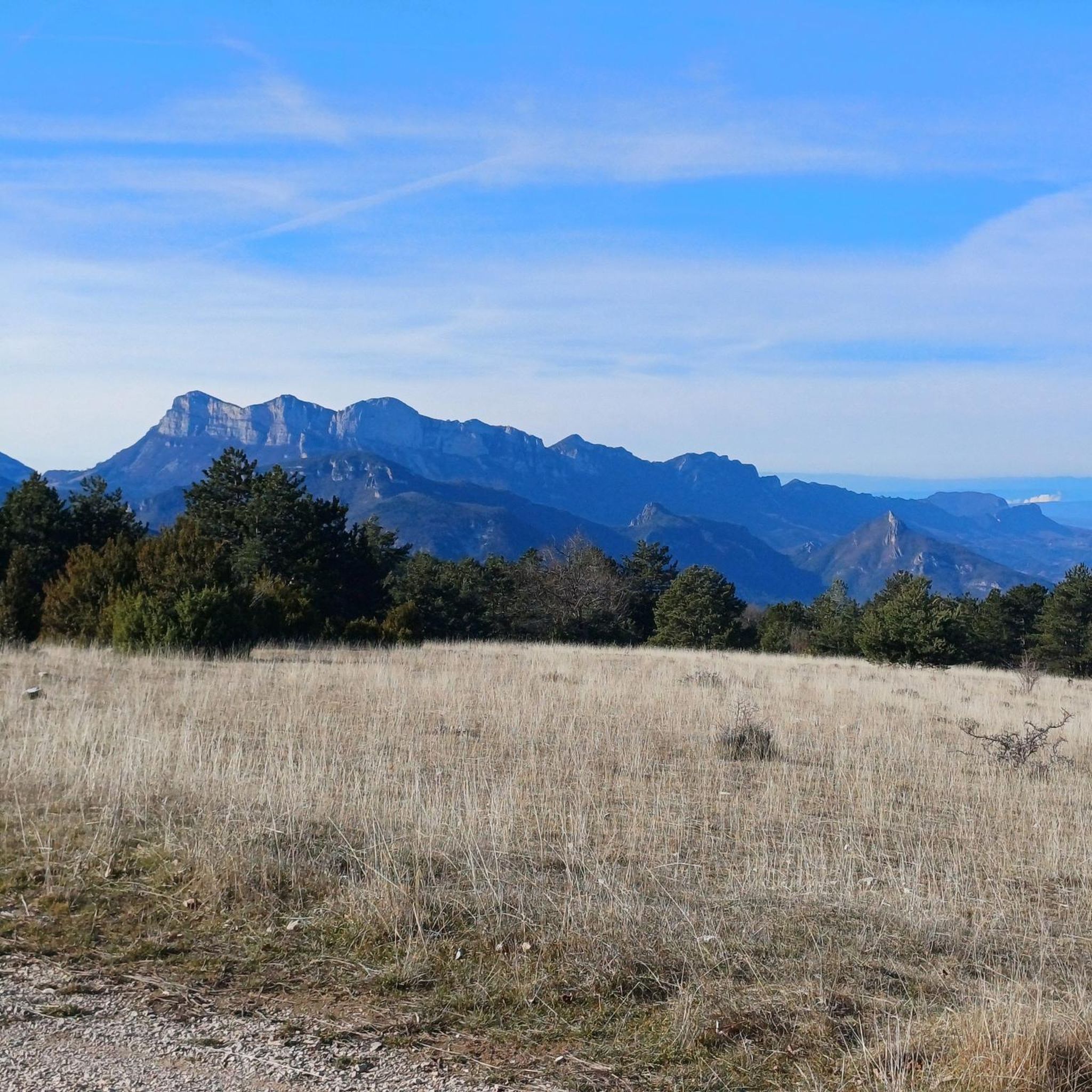
panoramic view, Vercors (Mt Aiguille/ Grand Veymont)/ Écrins / Dévoluy (Obiou)
0
0
Frequently Asked Questions
What are the most popular natural monuments around Montmaur-En-Diois?
The Pays Diois region, surrounding Montmaur-En-Diois, offers several remarkable natural monuments. Among the most popular is Saut de la Drôme and the Claps, a unique site formed by a massive rockslide that created a chaotic heap of limestone boulders and a waterfall. Another highly regarded spot is Pié Ferré (Le Dôme) – 2,041 m, a summit offering exceptional 360-degree panoramas of the Diois valley.
Are there family-friendly natural monuments to visit?
Yes, the Saut de la Drôme and the Claps area is very family-friendly. In summer, visitors can cool off in the Drôme river, and there are picnic areas available. The site also features the Marais des Bouligons, a marsh that is a haven for diverse wildlife, offering an educational experience for children.
What kind of geological features can I expect to see?
The region is rich in diverse geological formations. At Saut de la Drôme and the Claps, you'll witness the dramatic aftermath of a 1442 rockslide, with enormous limestone boulders and the Drôme waterfall. The Gorges des Gâts showcase steep and grandiose canyons, with roads carved into the mountainside and impressive bridges. Further afield, the Vallon de la Jarjatte features high cliffs, sharp rock pinnacles, and the unique Lac du Lauzon, a high-altitude lake in a limestone environment.
What outdoor activities can I do near these natural monuments?
The natural monuments around Montmaur-En-Diois are excellent starting points for various outdoor activities. At the Claps, there's an ideal climbing site with over 120 routes for all levels, including a via ferrata. The Drôme Valley, where the Drôme River originates, offers opportunities for swimming, fishing, canoeing, kayaking, and paddleboarding. For hiking, the Vallon de la Jarjatte is a paradise with numerous trails and breathtaking views. You can find many routes for different sports in the area, such as MTB Trails, Gravel biking, and Running Trails.
Are there specific hiking trails or viewpoints recommended for beginners?
For beginners, the interpreted route near the Source of the Drôme River at La Bâtie des Fonds offers an accessible way to appreciate its pristine natural state and surrounding landscapes. While not explicitly marked as 'easy' in the data, the general appeal of the Drôme Valley for gentle exploration suggests this would be a good option. For stunning views without extreme difficulty, the Pié Ferré (Le Dôme) offers an exceptional 360-degree panorama, though the ascent itself might be intermediate.
What is the best time of year to visit the natural monuments?
The natural monuments in the Pays Diois region are enjoyable throughout the year, but the best time depends on your preferred activities. Summer is ideal for water activities at the Drôme river and cooling off at the Claps. Spring and autumn offer pleasant temperatures for hiking and exploring the Vallon de la Jarjatte, with vibrant flora or autumn colors. In winter, the Vallon de la Jarjatte transforms into a family-friendly ski resort, also popular for snowshoeing.
Are there any natural springs or water sources available?
Yes, the Baume Rousse Spring is a notable natural water source located at the foot of a cliff in a rock shelter. It has a low flow and may not always be supplied, but it's an interesting feature for those exploring the plateau. Additionally, the Source of the Drôme River itself is a significant natural water origin point, renowned as the last wild river in the Alps.
What makes the Drôme River unique?
The Drôme River, originating near Valdrôme, is renowned as the last wild river in the Alps. It flows freely without dams or artificial barriers, preserving its natural character. Its clear waters support diverse aquatic life, and its banks are home to beavers. An interpreted route allows visitors to explore its source, appreciating its pristine state and the varied landscapes of the Drôme Valley.
Can I find any historical elements alongside the natural beauty?
Yes, the Saut de la Drôme and the Claps site has a fascinating historical dimension. An old viaduct, built to bypass the Claps for the Briançonnais railway in the early 20th century, adds an architectural element to the natural landscape. The formation of the Claps itself is a historical geological event from 1442, with stories of lakes forming and being drained over centuries.
Are there any natural monuments with unique biodiversity?
The Vallon de la Jarjatte is a significant Natura 2000 site, protecting a rich biodiversity. It is home to 908 plant species, 43 of which are unique to the Drôme. The permafrost of Combe Obscure within the valley also harbors surprising arctic and high-mountain flora at a relatively low altitude, making it a special place for nature enthusiasts.
What are the best viewpoints in the area?
For breathtaking vistas, Pié Ferré (Le Dôme) – 2,041 m offers an exceptional 360-degree panorama of the Diois valley, including views of the Trois Becs and Mont Aiguille. Montmaur-En-Diois itself provides splendid panoramas of the Glandasse, the Drôme valley, and the château d'Aix from its old village and the Col de Royet.
Most popular routes around Montmaur-En-Diois
Most popular attractions around Montmaur-En-Diois

Get inspired with the komoot mobile app


Explore more
Extend your search for the best caves by checking out these guides of the top ones around Montmaur-En-Diois:
