Top 20 Natural Monuments around Canillas De Aceituno
Best natural monuments around Canillas De Aceituno are found within the Axarquía region of Málaga province, primarily due to its location in the Sierra Tejeda, Almijara y Alhama Natural Park. This area features diverse natural landscapes, offering opportunities for hiking and exploration. The region is characterized by its mountainous terrain, river gorges, and significant peaks.
Best natural monuments around Canillas De Aceituno
- The most popular natural monuments is El Saltillo Suspension Bridge, a bridge that is one of the…
Last updated: October 18, 2026
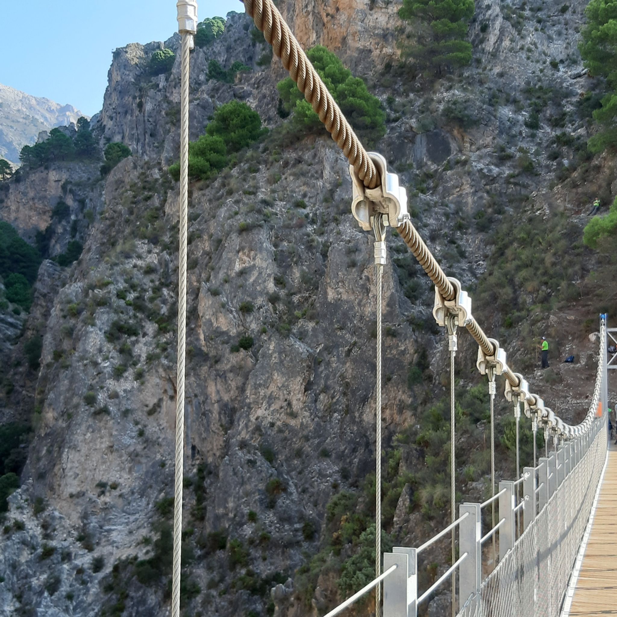
Canillas de Aceituno suspension bridge
Highlight • Bridge
Translated by Google •
Tip by

La Maroma Summit
Highlight • Summit
Translated by Google •
Tip by

Sign up now to discover places like this
Get recommendations on the best single tracks, peaks, & plenty of other exciting outdoor places.
El Saltillo Waterfall
Highlight • Waterfall
Showing Translation
Tip by

Palo Borracho (Ceiba Chodatii) on Paseo de Larios
Highlight • Natural Monument
Translated by Google •
Tip by

Translated by Google •
Tip by

Sign up for free to discover even more natural monuments around Canillas De Aceituno.
Already have an account?
Start today with a free account
Your next adventure awaits.
Popular around Canillas De Aceituno
Between white villages and mountains – GR 242 Tejeda-Almijara

Hike between sea and mountains — Gran Senda de Málaga (GR 249)
Hiking around Canillas De Aceituno
MTB Trails around Canillas De Aceituno
Road Cycling Routes around Canillas De Aceituno
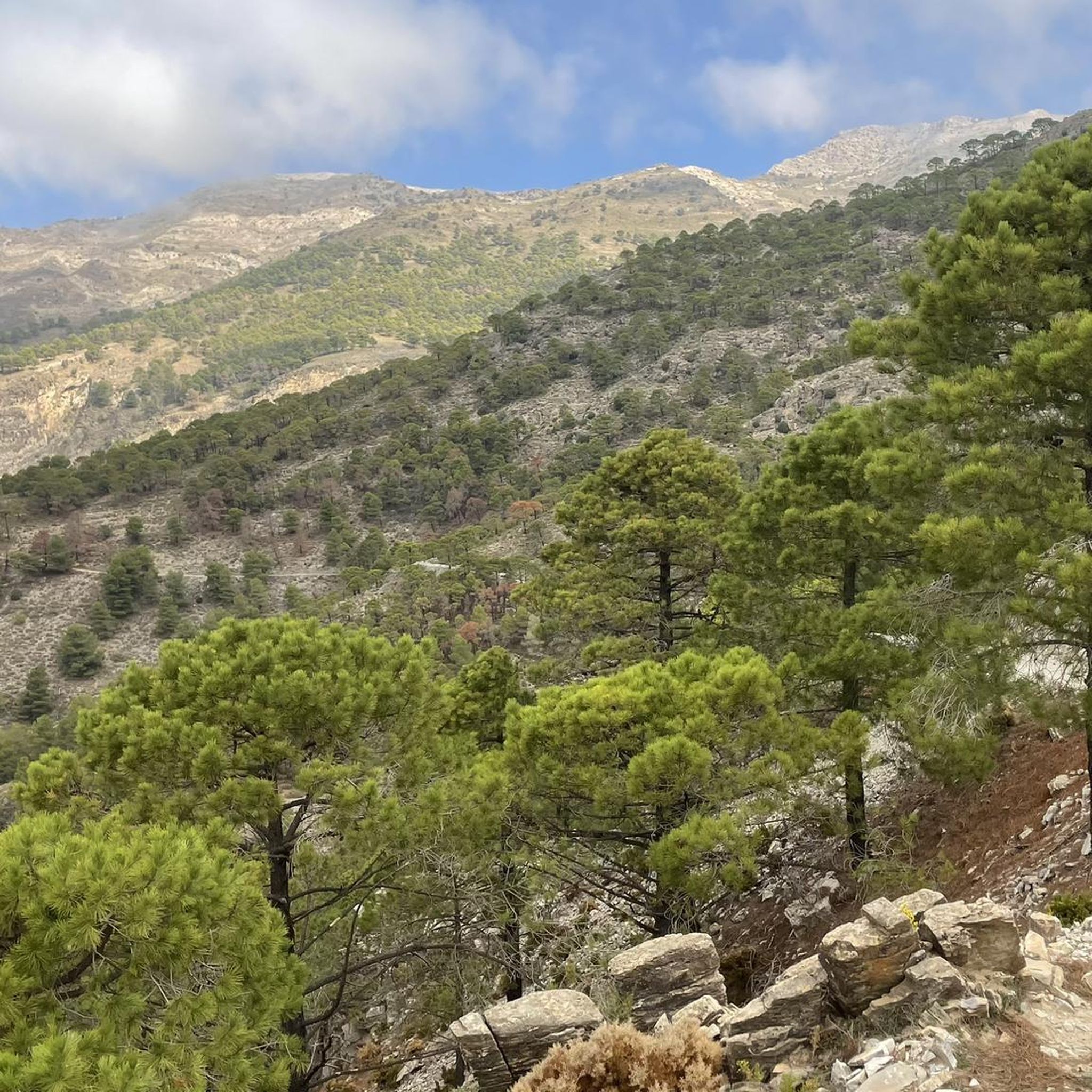
Running Trails around Canillas De Aceituno
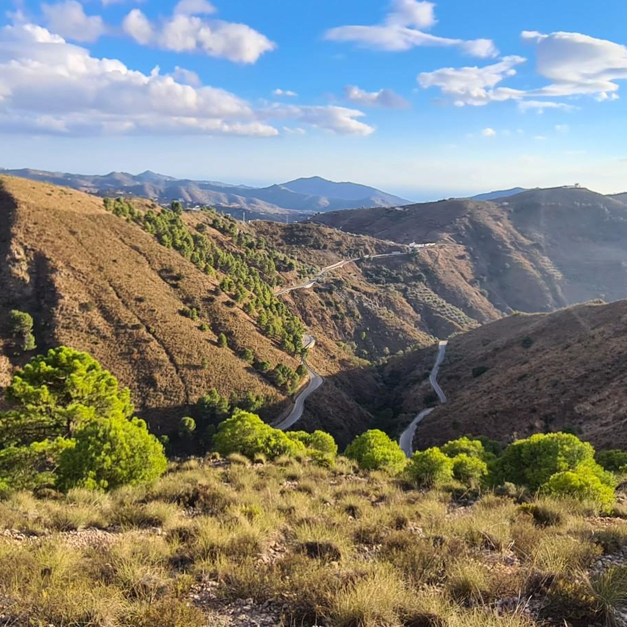
Cycling around Canillas De Aceituno

Gravel biking around Canillas De Aceituno


Tips from the Community

For this section, you'll definitely need to be sure-footed and have a head for heights. Some sections are very narrow, and the drop is quite steep. ;) If that's okay with you, the trail is really cool and a lot of fun!
1
0

In Torre del Mar, these striking trees grace the Paseo de Larios, one of the city's main promenades. The tree change from the original orange trees and plane trees to the Ceiba chodatii occurred in the 1920s, giving the area a unique tropical feel. Originally native to the tropical and subtropical forests of South America, the Ceiba chodatii is now widespread in many parts of the world, particularly in Mediterranean climates such as the Costa del Sol. The Ceiba chodatii, known in South America as Palo Borracho, is an impressive tree. Its name "Palo Borracho" translates to "Drunk Tree" because of its distinctive bottle-shaped trunk, reminiscent of a drunken man. The tree is characterized by a thick, plump trunk that stores water and is covered in prickly thorns.
3
0

The white-flowered drunken bottle tree (Ceiba chodatii) is a medium-sized deciduous tree native to the tropical and subtropical forests of South America. It is notable for its succulent, swollen trunk covered with spines and its buttress roots. The name palo borracho ("drunken tree"), which is common in Paraguay and Chile, is derived from the distinctive growth form of the trunk. The Argentinian name palo botella ("bottle tree") also refers to the same characteristics. - The genus Ceiba is closely related to the baobabs (genus Adansonia) in Africa and Australia, which also have quite unusual trunk shapes.
3
0

The new suspension bridge is the highlight of this hike. You should not be afraid of heights, but the bridge is very stable and sways very little. But the path there from Canillas de Aceituno is also just beautiful and relatively flat.
4
0

There is a beautiful suspension bridge over the gorge with the waterfall. I didn't find a path to the waterfall itself
1
2

The path to the waterfall is closed shortly after the junction to the suspension bridge! As of: March 2024
2
2

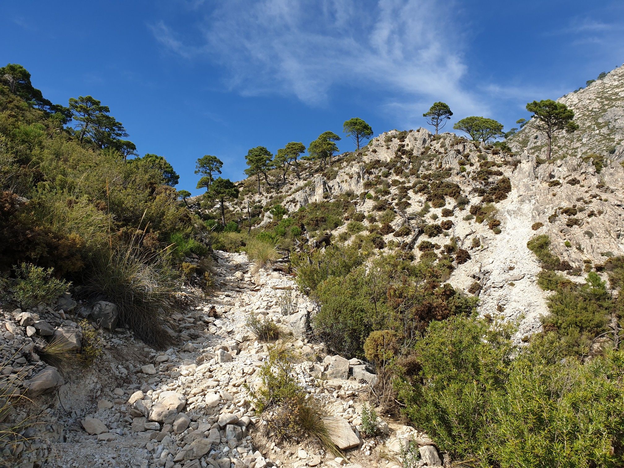
After the suspension bridge, the path goes steeply up through the wall, almost a kind of via ferrata, some of which have chains to hold on to. Surefootedness, strength and fitness are required. Going down is much more difficult than going up. Avoid on weekends because of crowds, even in January. Very nice when there is no crowd there.
1
0
Frequently Asked Questions
What are some of the most popular natural monuments to visit around Canillas de Aceituno?
The region boasts several highly-rated natural monuments. Among the most popular are the spectacular El Saltillo Suspension Bridge, known for its exhilarating views, and La Maroma Summit, the highest peak in Málaga province offering panoramic vistas. Visitors also enjoy the challenging Via Ferrata After the Suspension Bridge for its unique climbing experience.
Are there any family-friendly natural monuments or trails in the area?
While many trails in the Sierra Tejeda, Almijara y Alhama Natural Park can be challenging, the initial sections of the El Saltillo trail leading to the suspension bridge are generally accessible. For a unique and easily accessible natural feature, consider visiting the Palo Borracho (Ceiba Chodatii) on Paseo de Larios in Torre del Mar, which is wheelchair accessible and features distinctive bottle-shaped trees.
What kind of natural features can I expect to see around Canillas de Aceituno?
The area is rich in diverse natural features, including high mountain peaks like La Maroma Summit, deep river gorges such as the River Almanhares Gorge, and unique geological formations like the El Saltillo Suspension Bridge which spans a canyon. You can also find caves like Cueva de la Fájara, and various viewpoints offering expansive scenery.
What is the best time of year to visit the natural monuments in Canillas de Aceituno?
The spring and autumn months generally offer the most pleasant weather for hiking and exploring the natural monuments, with milder temperatures. Summer can be very hot, especially for strenuous activities like climbing La Maroma Summit. It's advisable to check the weather forecast, especially for higher altitudes, as temperatures can differ significantly.
How long is the El Saltillo trail and what should I know before going?
The El Saltillo trail connects Canillas de Aceituno with Sedella. Its most famous feature is the suspension bridge, which is 50 meters long and 50 meters high. The path follows an ancient irrigation canal. It's recommended to load the hike offline as cell phone reception can be poor. To avoid crowds, especially on the more challenging sections like the Via Ferrata After the Suspension Bridge, consider visiting during the week rather than on weekends.
Are there opportunities for outdoor activities like cycling or mountain biking near these natural monuments?
Yes, the region around Canillas de Aceituno offers extensive opportunities for various outdoor activities. You can find numerous routes for touring bicycles, mountain biking, and road cycling. For detailed routes and guides, explore the Cycling around Canillas De Aceituno, MTB Trails around Canillas De Aceituno, and Road Cycling Routes around Canillas De Aceituno guides.
What should I bring when hiking to natural monuments in the Sierra Tejeda, Almijara y Alhama Natural Park?
When hiking in this natural park, especially to higher elevations like La Maroma Summit, it's crucial to bring sufficient food and water. Temperatures can vary, so layered clothing is advisable. For challenging sections like the Via Ferrata After the Suspension Bridge, surefootedness and appropriate footwear are essential. Always load your route offline if relying on a mobile device for navigation.
Are there any hidden natural gems or less-known spots worth exploring?
Beyond the well-known highlights, the Sierra Tejeda, Almijara y Alhama Natural Park holds many lesser-explored areas. The Cueva de la Fájara, for instance, offers an adventurous caving experience with large caverns and natural pools, though it requires a good level of fitness and is best explored with a guide. The River Almanhares Gorge and the source of the River Bermuza also offer serene natural beauty away from the main trails.
What do visitors enjoy most about the natural monuments around Canillas de Aceituno?
Visitors consistently praise the breathtaking views and the sense of adventure. The spectacular routes, such as the one leading to the El Saltillo Suspension Bridge, are frequently highlighted. The 360° panoramic views from La Maroma Summit are also a major draw, offering incredible vistas across the Mediterranean and even to the Rif Mountains on clear days.
Is public transport available to reach the natural monuments, or is a car necessary?
While Canillas de Aceituno is accessible, reaching many of the specific natural monuments and trailheads within the Sierra Tejeda, Almijara y Alhama Natural Park often requires a car for convenience and flexibility. Public transport options to the more remote natural attractions are limited. It's advisable to plan your journey with private transport if you intend to explore multiple sites.
What is the difficulty level of hiking trails in the region?
The hiking trails around Canillas de Aceituno vary significantly in difficulty. Some sections, like the Via Ferrata After the Suspension Bridge, are considered challenging, requiring surefootedness and fitness. Others, such as the path to Huerta Grande Pass, are intermediate. Always check the specific trail's difficulty rating before embarking, especially for high-altitude or technical routes.
Can I find viewpoints that offer extensive scenic panoramas?
Absolutely. The region is renowned for its stunning viewpoints. La Maroma Summit provides unparalleled 360° views. The El Saltillo Suspension Bridge trail also offers spectacular views of the canyon, river, and the Axarquía region. Additionally, Huerta Grande Pass offers nice views from different sides, with an even better all-round view from a nearby hill.
Most popular routes around Canillas De Aceituno
Most popular attractions around Canillas De Aceituno

Get inspired with the komoot mobile app


Explore more
Extend your search for the best caves by checking out these guides of the top ones around Canillas De Aceituno:
