Top 6 Mountain Passes around Sayalonga
Best mountain passes around Sayalonga are found within a mountainous region characterized by its general terrain and the routes that traverse it. Sayalonga is situated in the Axarquía comarca, near the natural parks of the Sierras of Tejeda, Almijara, and Alhama. This area provides a landscape for outdoor activities, with numerous trails and elevated points offering experiences similar to visiting a mountain pass. The region offers scenic drives and elevated hiking routes through its mountainous surroundings.
Best mountain passes around…
Last updated: July 1, 2026
Enginal Pass, Sierras de Tejeda, Almijara and Alhama Natural Park
Highlight • Mountain Pass
Translated by Google •
Tip by

Puerto Blanquillo
Highlight • Mountain Pass
Translated by Google •
Tip by

Sign up now to discover places like this
Get recommendations on the best single tracks, peaks, & plenty of other exciting outdoor places.
Sign up for free
View of the Sierra de Almijara
Highlight • Viewpoint
Translated by Google •
Tip by

View of El Fuerte
Highlight • Viewpoint
Translated by Google •
Tip by

Huerta Grande Pass
Highlight • Mountain Pass
Translated by Google •
Tip by

Sign up for free to discover even more mountain passes around Sayalonga.
Sign up for free
Already have an account?
Start today with a free account
Your next adventure awaits.
Login or Signup

Tips from the Community

Puerto Blanquillo is a mountain pass in the Sierra Tejeda that has long served as a natural crossing point between different valleys and mountain routes. Historically, it was used by shepherds, muleteers, and travellers moving through the Sierra before the arrival of modern roads. Today, the pass is a well-known waypoint for hikers, offering access to several trails and fine views of the surrounding mountains and the Axarquía region.
0
0

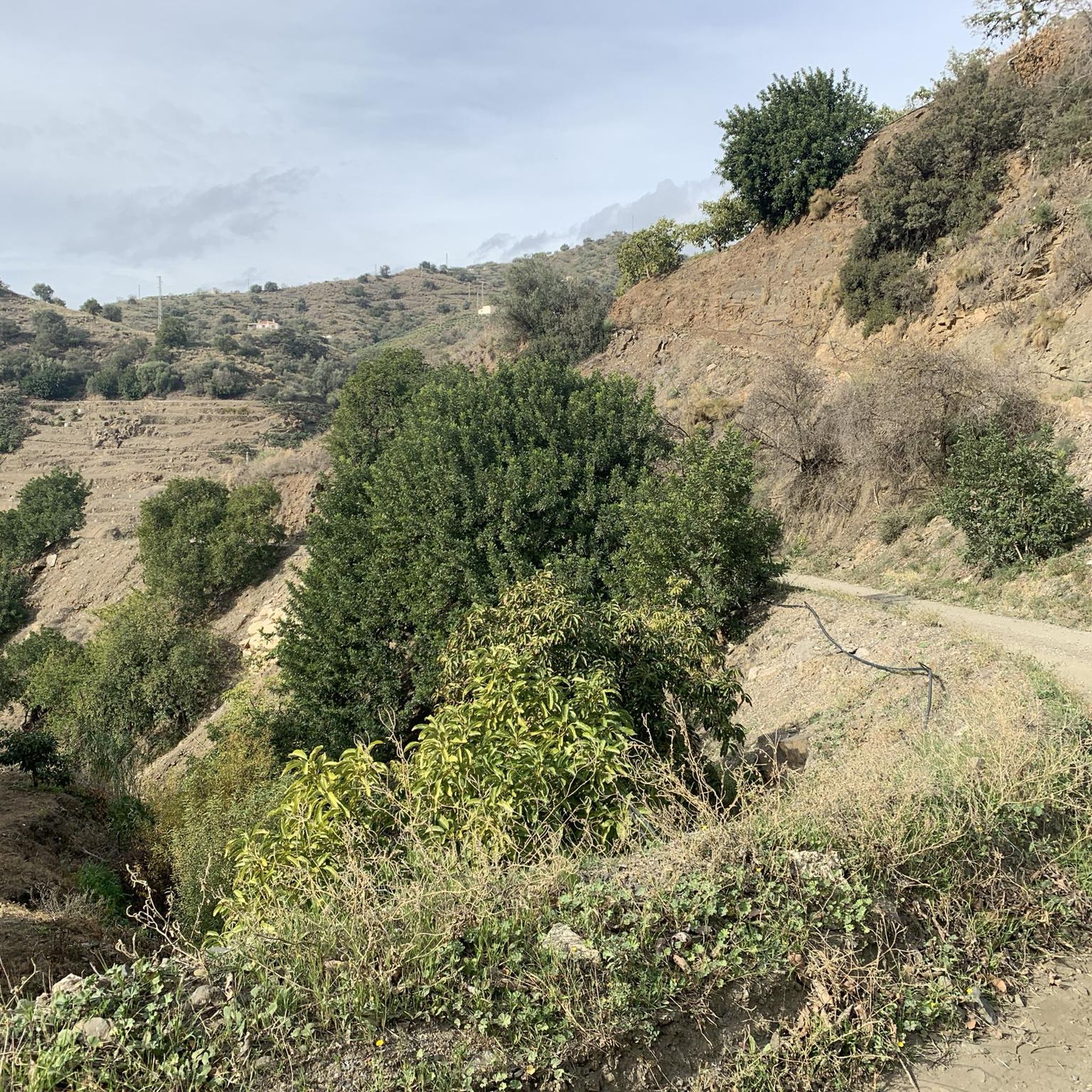
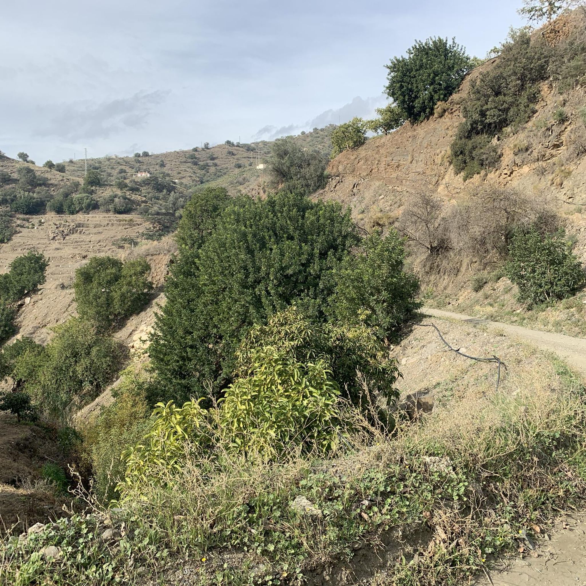
Here you can enjoy a beautiful view of the mountains.
1
0

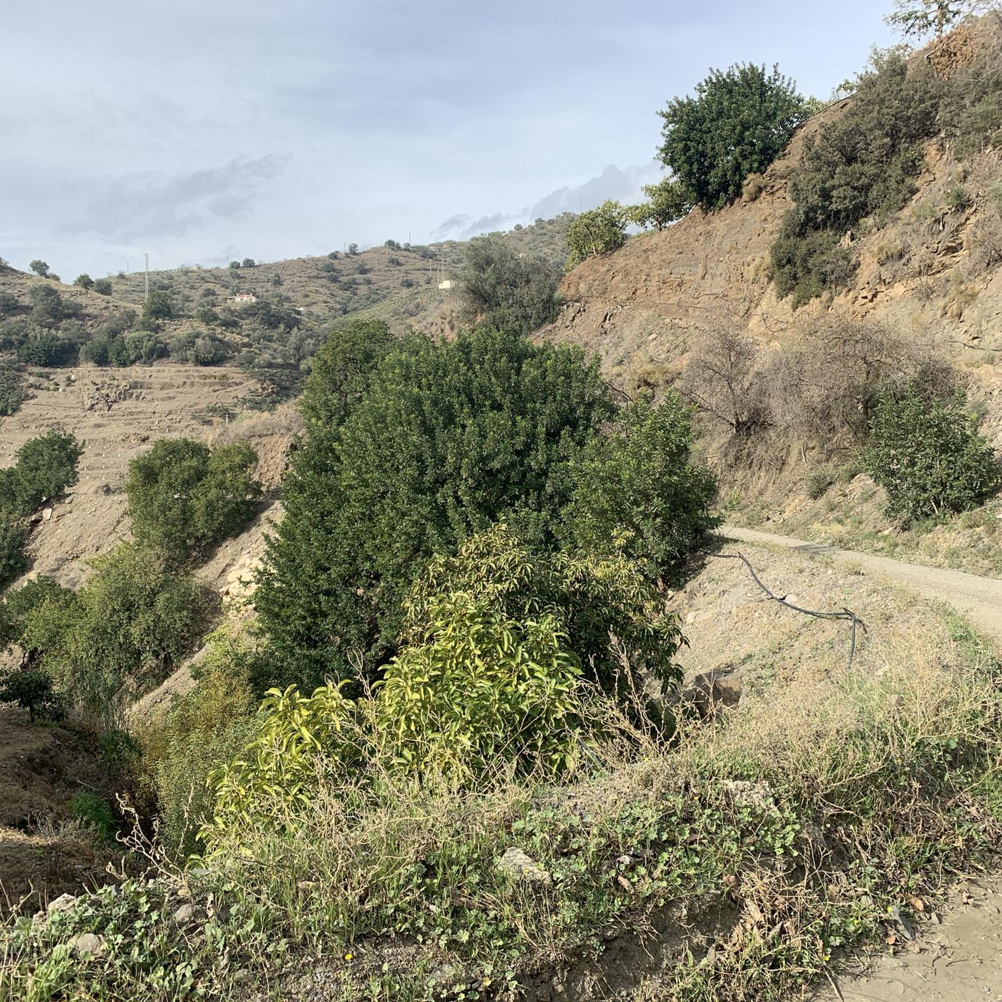
They should fix the road. It's a shame that the Andalusian government doesn't spend a single penny on the roads.
0
0

This hike is fun even for teenagers! A great canyon, with numerous small stream crossings, and stunning views. Shoes with treads are highly recommended, and keep in mind: there are two ascents and two descents: down into the canyon, up the mountain, back down into the canyon, and up to the village. Overall, a varied hike.
0
0

We really enjoyed the tour up the riverbed and back along the aqueduct. We did the tour on April 2, 2025. You can find the tour dates in my profile. Just enter SPAIN 🇪🇸 in the search bar.
2
0

mountain range in the hinterland of Frigiliana
5
0

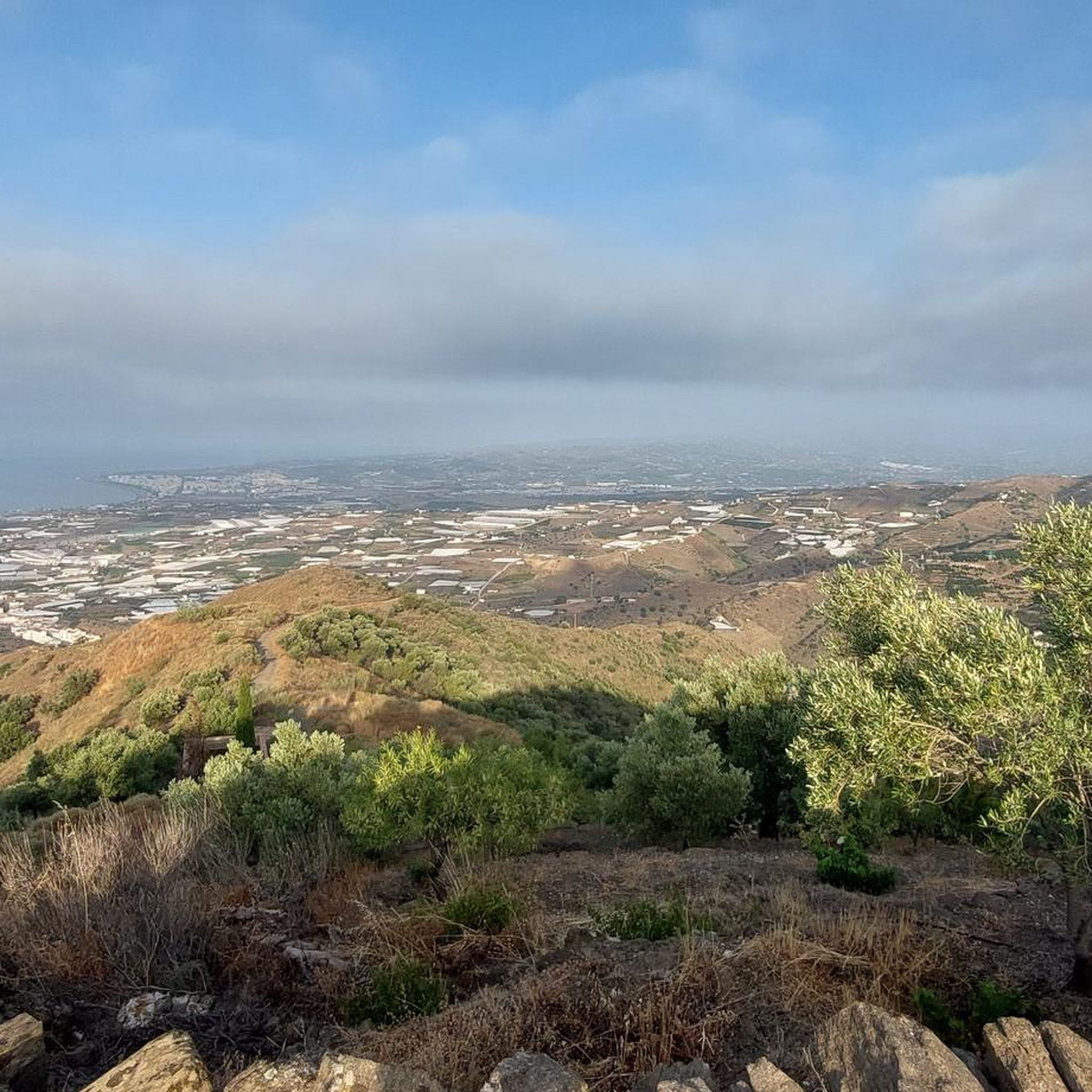
The Sierra de Almijara is a mountain range in southern Spain that belongs to the Betic Cordillera. It is part of the mountain range that lies behind the Sun Coast, north of Vélez-Málaga and Nerja in Andalusia. The highest point is the Matalas Camas peak at 1791 m. Other peaks are the Pico del Cielo and the Cerro Cabeza del Caballo. Since 1999 it has been placed under special protection as part of the Sierras de Tejeda Almijara y Alhama National Park. Source and more info https://de.m.wikipedia.org/wiki/Sierra_de_Almijara
3
0
The Sierra de Almijara is a mountain range in southern Spain that belongs to the Betic Cordillera. It is part of the mountain range that lies behind the Sun Coast, north of Vélez-Málaga and Nerja in Andalusia. The highest point is the Matalas Camas peak at 1791 m. Other peaks are the Pico del Cielo and the Cerro Cabeza del Caballo. Since 1999 it has been placed under special protection as part of the Sierras de Tejeda Almijara y Alhama National Park. Source and more info https://de.m.wikipedia.org/wiki/Sierra_de_Almijara
3
0
Frequently Asked Questions
What kind of views can I expect from the mountain passes and viewpoints around Sayalonga?
The elevated positions around Sayalonga offer spectacular panoramic views. You can expect sweeping vistas of the Mediterranean coastline, the rolling hills dotted with white villages, and the majestic peaks of the Sierras de Tejeda, Almijara y Alhama Natural Park. For example, from View of the Sierra de Almijara, you can observe nearly all of the mountain range's peaks.
Are there hiking trails associated with the mountain passes near Sayalonga?
Yes, the region offers numerous hiking trails that traverse the mountainous terrain. Many of these routes lead through areas featuring subtropical trees like loquats and avocados, and some even trace ancient Roman origins. You can find a variety of hiking routes, from easy walks to more moderate hikes, by exploring the hiking guide for Sayalonga.
What is the difficulty level of the trails around Sayalonga's mountain passes?
The trails around Sayalonga cater to different fitness levels. You can find routes ranging from easy walks to intermediate and challenging hikes. For instance, Enginal Pass, Sierras de Tejeda, Almijara and Alhama Natural Park offers a challenging route with winding paths and a riverbed section, while other trails are more moderate or easy.
What natural features are prominent around the mountain passes of Sayalonga?
The area is rich in natural beauty, being part of the Sierras de Tejeda, Almijara y Alhama Natural Park. You'll encounter diverse flora, including subtropical fruit trees, and geological formations like ravines and caves. The region around the Cajula River, for example, is particularly known for its lush subtropical vegetation.
Are there any historical or cultural sites to see near the mountain passes?
Yes, Sayalonga's landscape is steeped in history. Many routes incorporate historical sites such as the unique Circular Cemetery, the Santa Catalina Church (built on an old mosque), and ancient Arabic water tanks. These elements offer a blend of natural beauty and cultural exploration, providing a journey through the town's past.
When is the best time to visit the mountain passes around Sayalonga?
The mountainous areas around Sayalonga can be enjoyed throughout much of the year. However, spring and autumn generally offer the most pleasant weather for hiking, with milder temperatures and vibrant landscapes. Summers can be hot, making early morning or late afternoon hikes preferable, while winters are typically mild but can bring cooler temperatures at higher elevations.
Can I find cycling routes near the mountain passes of Sayalonga?
Absolutely. The region provides excellent opportunities for cycling. You can explore various routes, including those suitable for touring bicycles and gravel biking, which often pass through scenic mountainous areas. Discover more options in the cycling guide for Sayalonga or the gravel biking guide.
What makes the mountain passes around Sayalonga unique?
The mountain passes and elevated routes around Sayalonga are unique for their combination of spectacular panoramic views of the Mediterranean and the Sierra Almijara, rich biodiversity, and historical significance. They offer a tranquil escape into an authentic Andalusian environment, blending natural beauty with cultural heritage. Huerta Grande Pass, for instance, provides views of different sides of the landscape, including Cerro Lucero and Cerro Verde.
Is there parking available for accessing trails near the mountain passes?
Parking availability can vary depending on the specific starting point of a trail. For some routes, like those leading to Puerto Blanquillo, you might find informal parking spots along the side of the road, especially for routes that start from unpaved roads. It's often recommended to use a car with high suspension for some of these access roads.
Are there any dog-friendly trails around Sayalonga's mountain passes?
Many of the natural trails and paths in the Sayalonga area are suitable for walking with dogs, allowing you to enjoy the outdoors together. However, it's always advisable to keep dogs on a leash, especially in natural park areas, to protect local wildlife and ensure the safety of other hikers.
What is the highest point or most significant peak accessible from Sayalonga's mountain routes?
While not a pass itself, La Rabita is the highest peak of Sayalonga at 672 meters, offering superb panoramic views. The region also provides access to higher peaks within the Sierras de Tejeda, Almijara y Alhama Natural Park, with some reaching over 1500 meters, such as Cerro Lucero, which can be viewed from passes like Huerta Grande Pass.
What can visitors expect from the popular <a href="https://www.komoot.com/highlight/90875" target="_blank" rel="noopener">Páez Blanca Pass</a>?
Páez Blanca Pass is a popular mountain pass, especially among mountain bikers, located at 750 meters above sea level. Visitors appreciate its well-maintained road and the very beautiful views it offers, making it a highly recommended route for scenic journeys.
Most popular routes around Sayalonga
Most popular attractions around Sayalonga

Get inspired with the komoot mobile app


Explore more
See even more epic mountain passes by checking out these guides around Sayalonga:
