Top 7 Mountain Passes around Pinos Genil
Best mountain passes around Pinos Genil are located in the foothills of the Sierra Nevada mountains, offering access to challenging and scenic routes. This area is known for its demanding ascents and panoramic views, particularly popular with cyclists. Pinos Genil itself is a village divided by the Genil River, providing a base for exploring the mountainous terrain. The region features dramatic landscapes and high-altitude climbs within the Sierra Nevada National Park.
Best mountain passes around Pinos Genil
- The most popular…
Last updated: July 1, 2026
Pradollano
Highlight • Settlement
Translated by Google •
Tip by

Veleta - Ski station junction
Highlight • Trail
Translated by Google •
Tip by

Sign up now to discover places like this
Get recommendations on the best single tracks, peaks, & plenty of other exciting outdoor places.
Sign up for free
Scenic Section of the Puerto de Blancares Route
Highlight (Segment) • Mountain Pass
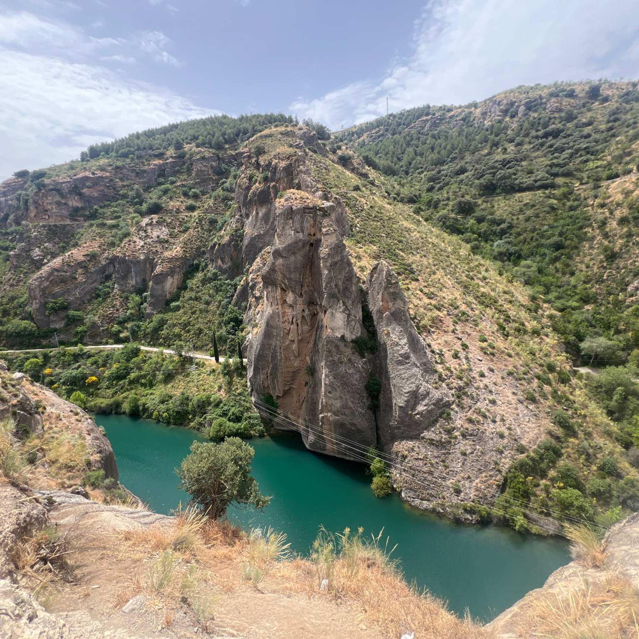
Enjoy the views and the magnificent condition of this road, parallel to the Aguas Blancas river.
Translated by Google •
Tip by

El Purche Road
Highlight • Mountain Pass
Translated by Google •
Tip by
Gravel Alternative
Highlight (Segment) • Trail
Translated by Google •
Tip by

Sign up for free to discover even more mountain passes around Pinos Genil.
Sign up for free
Already have an account?
Start today with a free account
Your next adventure awaits.
Login or Signup

Other adventures around Pinos Genil

Tips from the Community

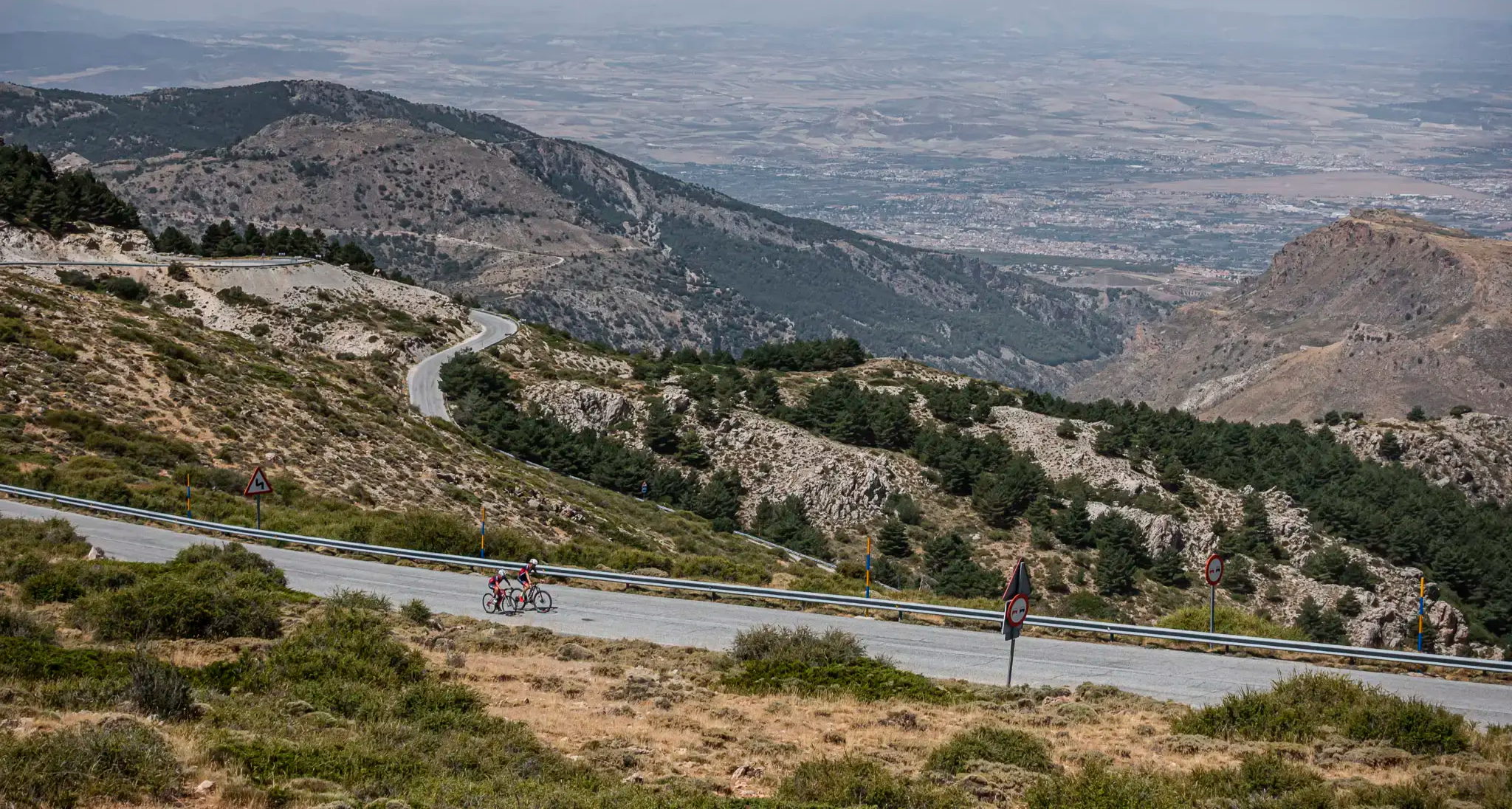
The El Purche Road, in Monachil (La Vega de Granada), is an emblematic road that connects the urban area with the Sierra Nevada National Park, well known to cyclists, hikers and lovers of panoramic views.
2
0

Pradollano is the highest ski resort in the Sierra Nevada and the hub for services at the foot of the slopes, home to hotels, restaurants, and an après-ski atmosphere. Located at over 2,000 meters above sea level, it combines the beauty of a mountain village with everything the surrounding area has to offer.
1
0
El Purche is a legendary mountain pass, famous for its ruggedness and beauty, and a regular feature in the Vuelta a España.
2
0


Great gravel track and an absolute must for gravel fans.
1
0
Very nice gravel track and absolutely a must for gravel fans.
1
0

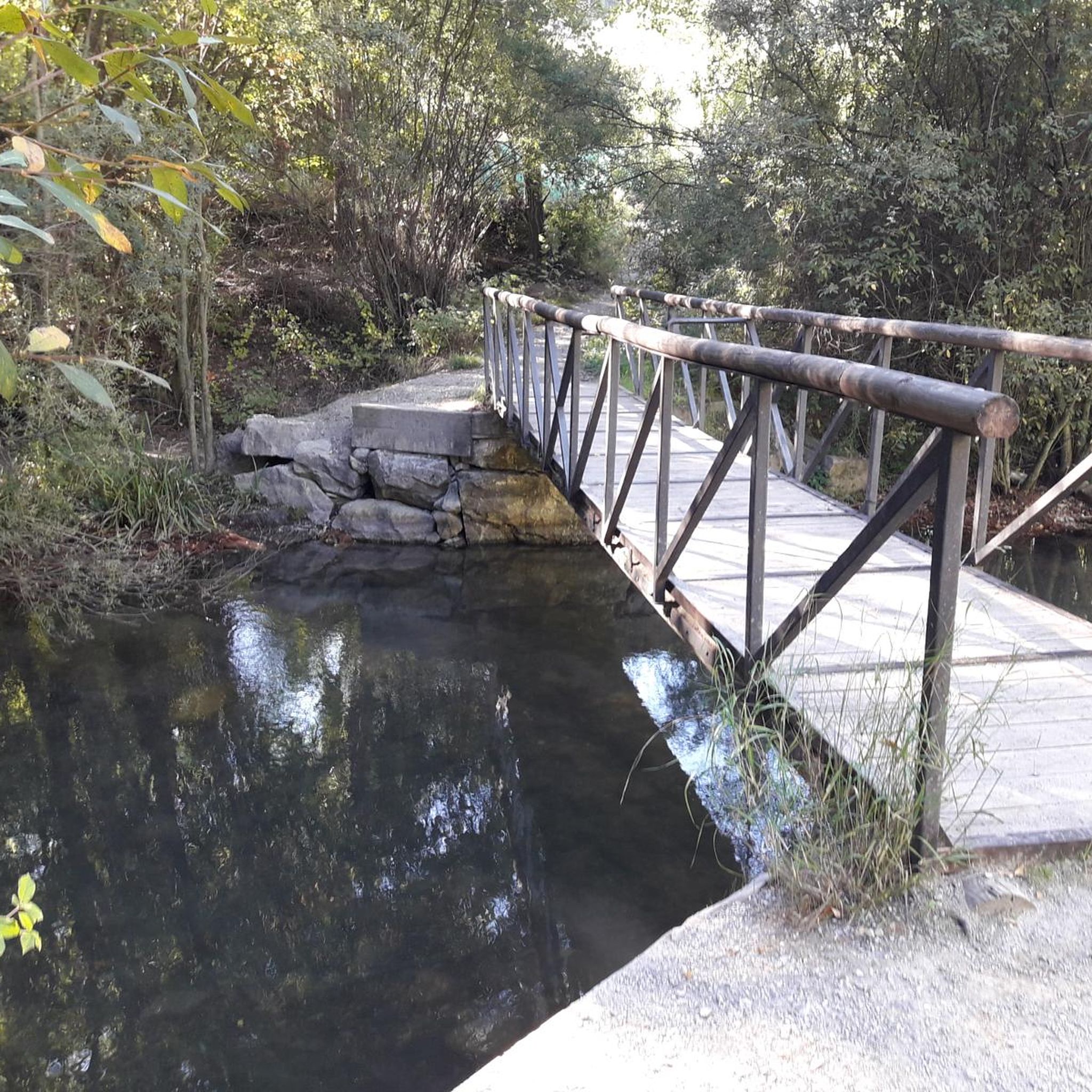
Beautiful gravel alternative to the GR-3201 road. Good and wide paths and not too steep.
1
0

The turnoff itself, in my opinion, isn't a highlight, but it's a very important junction for planning. The northwestern route is a secondary road closed to car traffic, so you can ride quite relaxed and "alone" with other cyclists and the occasional hiker. The southeastern route is the main road, where all the car traffic heads into the tourist area. I would definitely avoid the main road (there are lots of aggressive tourists who pass you quickly and closely). The exit on the main road is better if you want to go very fast.
3
0
Frequently Asked Questions
What is the difficulty level of mountain passes around Pinos Genil?
The mountain passes and climbs around Pinos Genil are generally considered challenging, especially for cyclists, due to demanding ascents and significant elevation gains. Routes like the Climb to Alto de Haza Llanas from Güéjar Sierra feature average gradients of 12% and maximums of 22%. Even intermediate routes like the El Purche Road are known for their ruggedness.
Which mountain passes offer the best views of the Sierra Nevada?
Many routes provide breathtaking panoramas of the Sierra Nevada. The El Purche Road is well-known for its beautiful views. The Scenic Section of the Puerto de Blancares Route also offers picturesque surroundings and views of the Aguas Blancas river. High-altitude climbs towards Pico del Veleta, accessible from areas like Hoya de la Mora, provide expansive vistas across Andalusia.
What outdoor activities can I do near the mountain passes around Pinos Genil?
Beyond challenging cycling, the area around Pinos Genil offers a variety of outdoor activities. You can find numerous running trails, such as the 'Pinos Genil – Genil River in Pinos Genil loop', or explore MTB trails like the 'Quéntar - Cerro Avellanos Loop Trail'. For gravel biking, routes like 'Canales Reservoir – Pinos Genil village loop' are popular. You can find more details on these activities in the Running Trails around Pinos Genil, MTB Trails around Pinos Genil, and Gravel biking around Pinos Genil guides.
Are there any historically significant mountain climbs in the area?
Yes, the climb to Hoya de la Mora is historically significant as it marks the highest elevation a Vuelta a España stage has ever finished in the Sierra Nevada mountains. Other demanding climbs like Haza Llana are also steeped in 'Vuelta folklore', making them memorable challenges for cyclists.
What kind of natural landscapes can I expect to see when visiting?
You can expect to see dramatic landscapes within the Sierra Nevada National Park, characterized by high-altitude terrain, rugged mountains, and stunning vistas. The region is known for its fresh mountain air and the beauty of the Genil River, which flows through Pinos Genil itself.
What is the best time of year to visit the mountain passes around Pinos Genil?
The best time to visit for cycling and hiking is typically during spring (April to June) and autumn (September to October) when the weather is milder and more stable. Summer can be very hot at lower elevations but offers pleasant conditions at higher altitudes. Winter brings snow, making some higher passes accessible only for winter sports or requiring specialized equipment.
Are there family-friendly options for exploring the mountains near Pinos Genil?
While many of the mountain passes are challenging, Pinos Genil itself offers a tranquil base with beautiful natural settings and walking routes along the Genil River that can be suitable for families. For more strenuous family-friendly hikes, it's advisable to research specific trails, as the high mountain passes are often demanding.
Where can I find amenities like cafes or accommodation near the mountain passes?
The village of Pinos Genil offers a charming base with local amenities. For higher-altitude services, Pradollano, the highest ski resort in the Sierra Nevada, serves as a hub with hotels, restaurants, and an après-ski atmosphere. It's located at over 2,000 meters above sea level and provides essential services for visitors to the surrounding mountain areas.
What do cyclists particularly enjoy about the mountain passes near Pinos Genil?
Cyclists are drawn to the region for its demanding ascents, breathtaking panoramic views, and the sheer challenge of routes that reach significant elevations. The area offers a long-standing tradition of cycling, with many climbs, including those leading to Pico del Veleta and Hoya de la Mora, being legendary among the cycling community for their immense length and altitude gain.
Can I reach very high altitudes by bike near Pinos Genil?
Yes, you can. From Pinos Genil, cyclists can embark on a significant climb to Hoya de la Mora, reaching an elevation of 2,511 meters. The roads leading up to Pico del Veleta, the second-highest peak of the Sierra Nevada at 3,382 meters, are also legendary for their immense length and altitude gain, offering an unforgettable experience with expansive views.
Are there any less-known or 'hidden gem' mountain routes for cycling?
While not a 'hidden gem' in the sense of being unknown, the Collado de la Sabina offers a worthwhile destination for those seeking a challenging ride with consistent climbs and picturesque surroundings. It's part of routes leading towards the Pradollano Ski Station, with an old road winding up to the summit featuring an average gradient of 6.5%.
Most popular routes around Pinos Genil
Most popular attractions around Pinos Genil

Get inspired with the komoot mobile app


Explore more
See even more epic mountain passes by checking out these guides around Pinos Genil:
