Top 6 Mountain Passes around Barbadillo De Herreros
Best mountain passes around Barbadillo De Herreros are found within the Sierra de la Demanda, a region known for its elevated routes and diverse natural features. This area offers a landscape rich with pine, oak, and beech forests, alongside rivers like the Pedroso and La Umbría. The terrain provides varied experiences for outdoor enthusiasts, combining natural beauty with historical routes. It is an ideal base for activities such as hiking, mountaineering, and mountain biking.
Best mountain passes around Barbadillo De…
Last updated: July 1, 2026
Alto de Pradilla
Highlight • Mountain Pass
Translated by Google •
Tip by

Puerto del Manquillo
Highlight • Mountain Pass
Translated by Google •
Tip by

Sign up now to discover places like this
Get recommendations on the best single tracks, peaks, & plenty of other exciting outdoor places.
Sign up for free
Cruz de la Demanda Pass
Highlight • Mountain Pass
Mythical port of the Sierra de la Demanda with privileged views over the valley and the mountain ranges.
Translated by Google •
Tip by

Alto de Valmala
Highlight • Mountain Pass
Translated by Google •
Tip by

Peaks of the Demanda
Highlight • Summit
Translated by Google •
Tip by

Sign up for free to discover even more mountain passes around Barbadillo De Herreros.
Sign up for free
Already have an account?
Start today with a free account
Your next adventure awaits.
Login or Signup
Popular around Barbadillo De Herreros
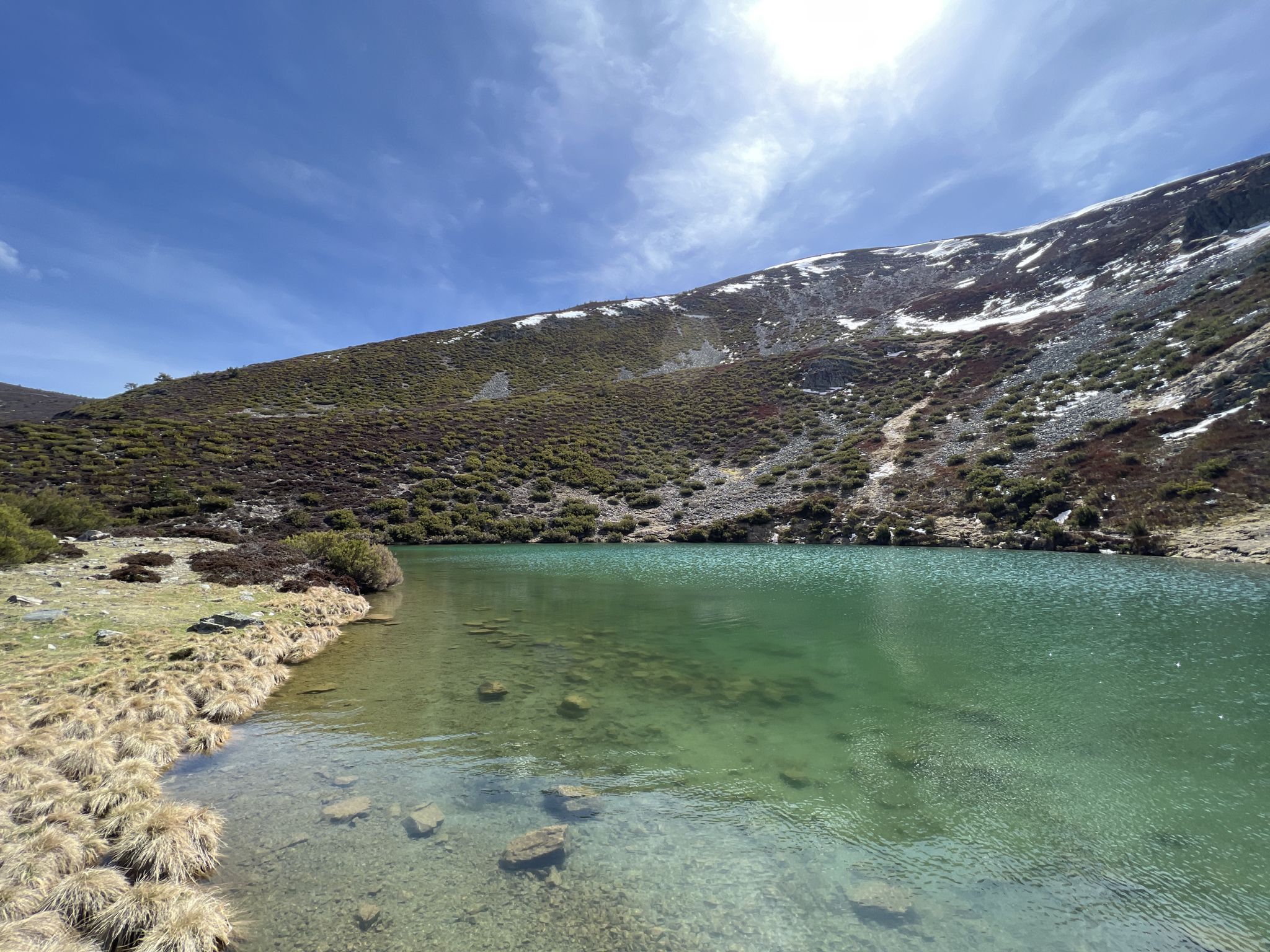
Discover the unknown Burgos - Dos Aguas Trail (GR 290)
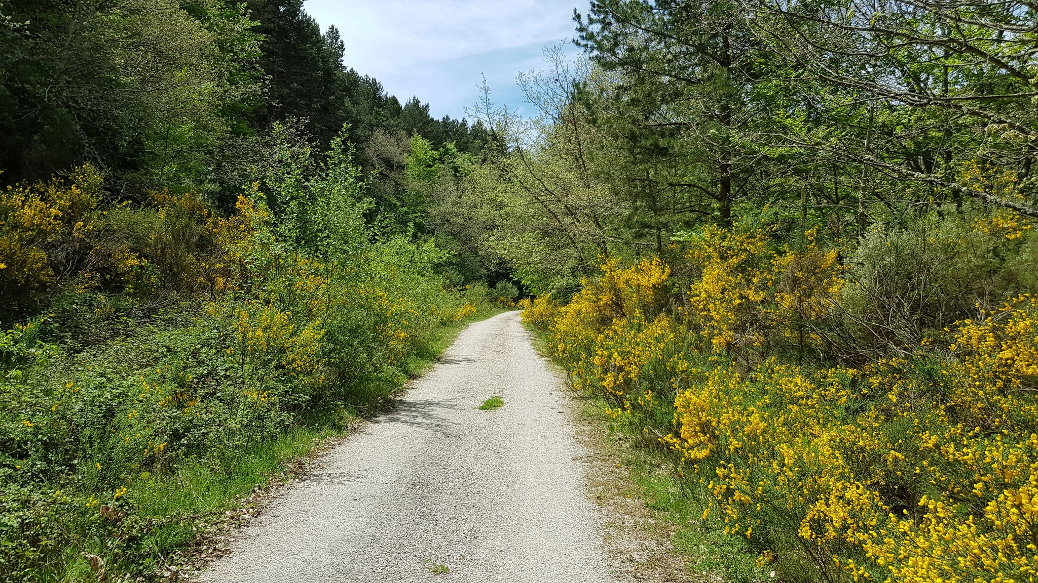
A journey into the past - Vía Verde de la Sierra de la Demanda
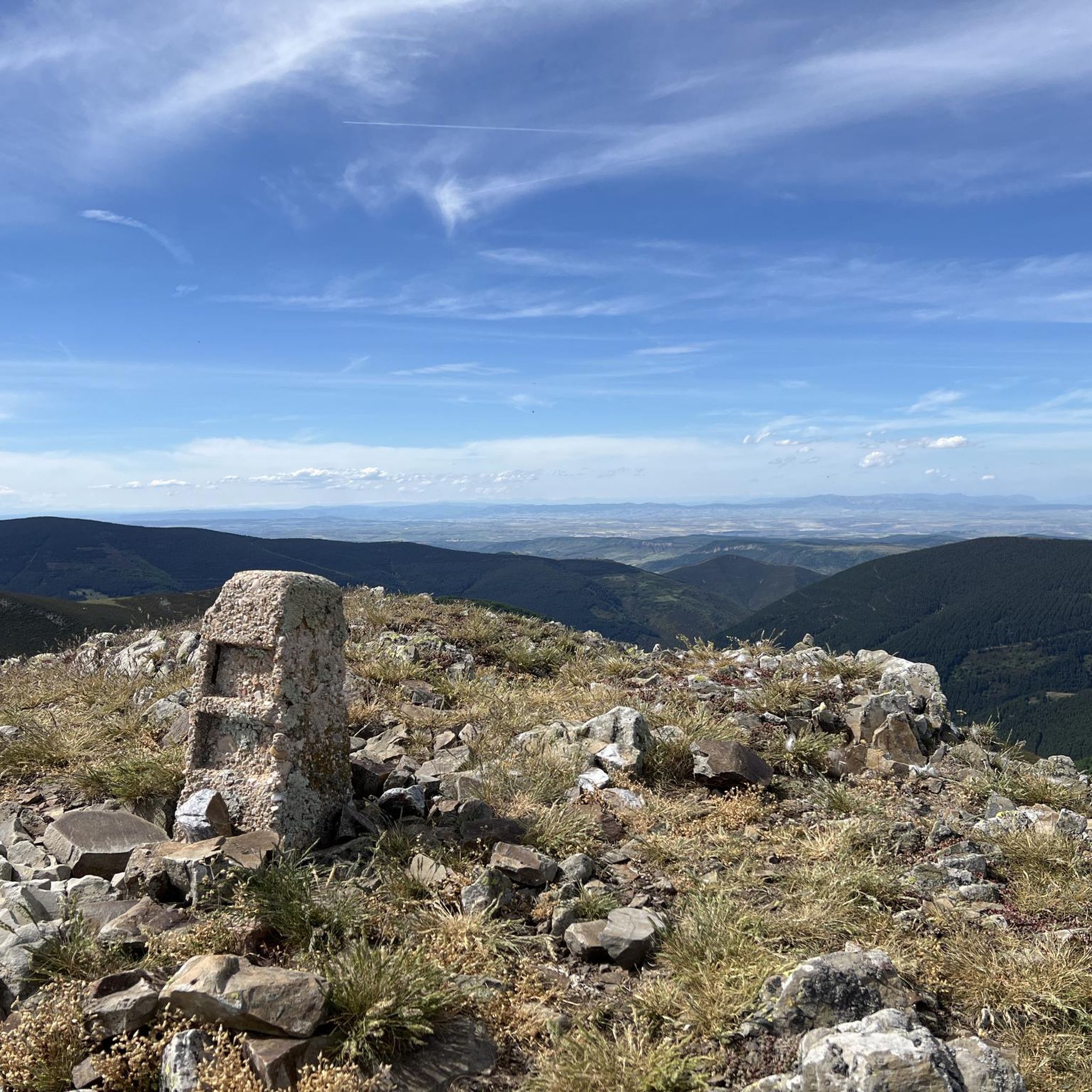
Hiking around Barbadillo De Herreros
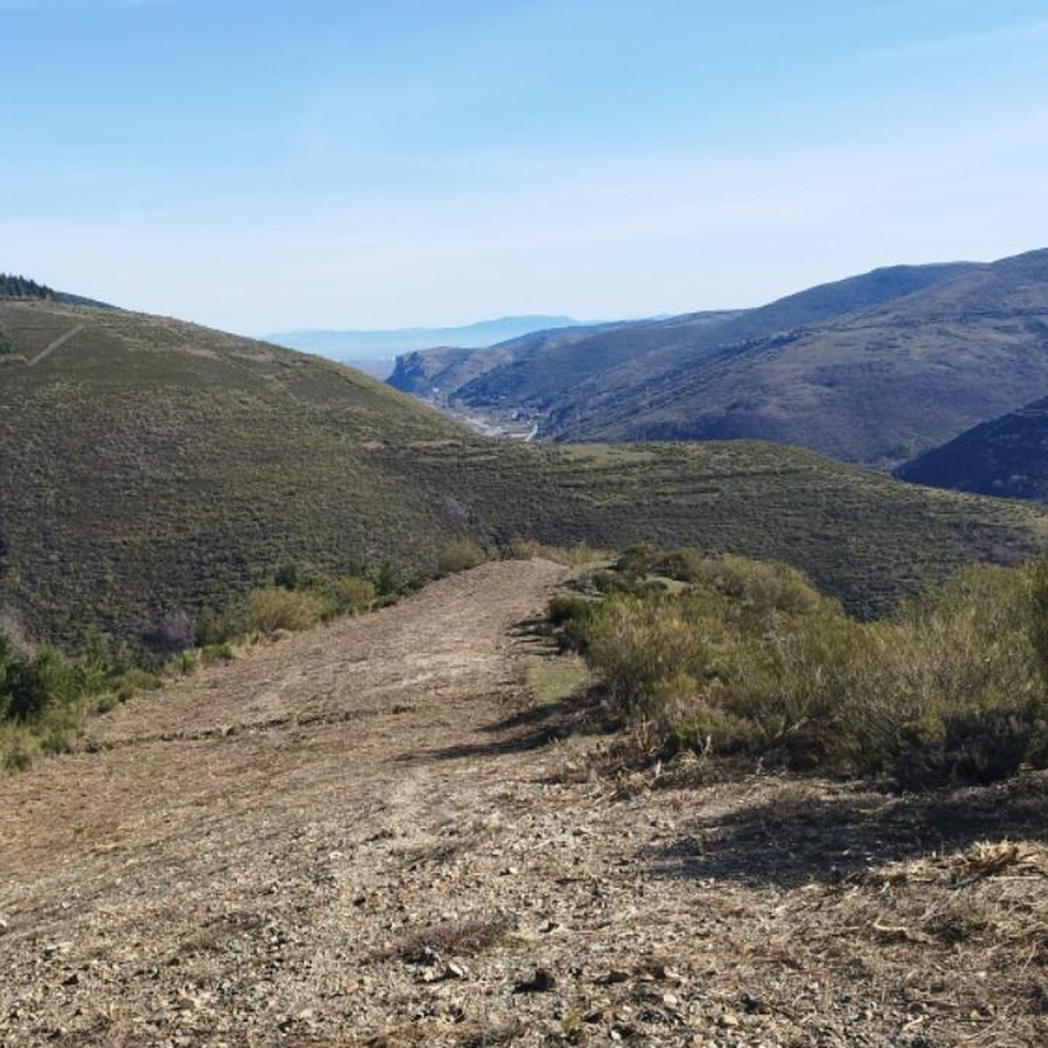
MTB Trails around Barbadillo De Herreros
Running Trails around Barbadillo De Herreros
Cycling around Barbadillo De Herreros
Road Cycling Routes around Barbadillo De Herreros

Mountain Hikes around Barbadillo De Herreros
Other adventures around Barbadillo De Herreros


Tips from the Community

The Cumbres de la Demanda are a series of peaks located in the Sierra de la Demanda, which stretches between La Rioja, Burgos, and Soria. The route covers several of the highest peaks, including Pico San Millán (2,132 meters), the highest in the province of Burgos.
1
0

There is always the solution to difficult points: doing them by road.
0
0

A comfortable mountain pass that connects the provinces of Burgos and La Rioja. Both sides have beautiful views, and it is worth climbing both.
0
0
With the mountain route you can go up from Fresneda, reach the Pozo Negro (durillo), and from there to the Cruz de la Demanda, returning to Fresneda by road and passing through the top of La Pradilla.
0
0

The railway crossed this port through a tunnel. When making the greenway, the original route was not recovered, so the arrival and departure of the port are two very steep slopes. Most panniers make them by pushing the bike.
1
0


It is a 4km climb on the BU-813 with an average gradient of 5.1%. As can be seen, the slope ranges between 4 and 6% without hard ramps (only one at 9%) and relatively constant with several horseshoe curves at the exit of the town but without excessive complication.
0
0

The Alto de la Pradilla is located at an altitude of 1,244 meters and has only six kilometers of ascent at an average of 5.2%. Located at the western end of La Rioja, this hill serves as the border with the province of Burgos. The start is smooth along a road in good condition that will gradually increase in terms of slope in a winding layout.
2
0
Frequently Asked Questions
What are some of the most notable mountain passes in the Barbadillo de Herreros region?
The region features several significant mountain passes. Among them are Alto de Pradilla, which marks the border between Burgos and La Rioja, and Puerto del Manquillo, known for its challenging climbs through dense pine forests and its connection to the Vía Verde de la Sierra Demanda. Another prominent pass is Cruz de la Demanda Pass, offering extensive views from its 1,855-meter elevation.
What kind of outdoor activities can I do near the mountain passes around Barbadillo de Herreros?
The area is excellent for various outdoor activities. You can find numerous routes for road cycling, such as the 'Arlanzón Reservoir – Puerto del Manquillo loop'. For general cycling, explore options like the 'Sierra de la Demanda Greenway Loop'. Hiking is also very popular, with trails like the 'Trail of the Waterfalls' and challenging ascents to peaks like San Millán. You can find more details on these activities in the Road Cycling, Cycling, and Hiking guides for Barbadillo de Herreros.
What is the difficulty level of the mountain passes in this region?
The difficulty varies. Passes like Alto de Pradilla offer a relatively gentle ascent, making them enjoyable for road cyclists. In contrast, Puerto del Manquillo presents a more challenging climb with gradients up to 11%. The region also includes high peaks like San Millán, which are considered challenging for hiking and trail running, especially in winter.
Are there any historical or unique features associated with the mountain passes?
Yes, the region has a rich history. Puerto del Manquillo, for instance, is part of the Vía Verde de la Sierra Demanda, which follows an old railway line and features a tunnel from the original track. The broader region also includes the Vía Verde del Ferrocarril Minero, a natural trail along an old mining train path, offering a glimpse into the area's industrial past.
What natural features can I expect to see when visiting the mountain passes?
The passes are set within a diverse natural environment. You'll encounter dense pine, oak, and beech forests, especially around Puerto del Manquillo. The region is also characterized by rivers like the Pedroso and La Umbría, and from higher vantage points such as Peaks of the Demanda, you can enjoy extensive panoramic views of other significant peaks within the Iberian System.
What is the best time to visit the mountain passes around Barbadillo de Herreros?
While the high peaks of the Sierra de la Demanda can be covered in snow during winter, making for challenging mountaineering, the spring, summer, and autumn months generally offer the best conditions for exploring the mountain passes. These seasons provide more favorable weather for hiking, cycling, and enjoying the scenic beauty without the complexities of snow and ice.
Are there any less strenuous or beginner-friendly mountain pass routes?
For those seeking a less strenuous experience, Alto de Pradilla offers a relatively gentle climb on a well-maintained road, making it suitable for road cyclists looking for scenic views without extreme difficulty. While specific 'beginner' routes for passes aren't explicitly tagged, many sections of the Vía Verde del Ferrocarril Minero provide accessible paths for walking and cycling.
What are the views like from the mountain passes?
The mountain passes and surrounding peaks offer spectacular views. From Cruz de la Demanda Pass, you can enjoy privileged views over the valley and mountain ranges. Similarly, from the Peaks of the Demanda, visitors are treated to extensive panoramic views of other significant peaks within the Iberian System, including San Millán and Pico Urbión.
What is the significance of San Millán peak in relation to the mountain passes?
San Millán, also known as Torruco, is the highest point in the province of Burgos at 2,131 meters. While not a pass itself, it's a prominent peak within the Sierra de la Demanda, often visible from the passes and serving as a major destination for hikers and trail runners. Barbadillo de Herreros is located at its base, making it a key landmark and a challenging objective for those exploring the high-altitude terrain.
What do visitors appreciate most about the mountain passes in this area?
Visitors highly appreciate the breathtaking scenic beauty, the challenging yet rewarding ascents, and the opportunity to immerse themselves in nature. The minimal traffic on many routes, especially around Puerto del Manquillo, allows for pure cycling enjoyment. The sense of accomplishment upon reaching a pass and the splendid views from summits like San Millán are also frequently highlighted.
Are there any specific routes that combine mountain passes with other attractions?
Yes, the region offers routes that integrate passes with other natural and historical features. For example, Puerto del Manquillo is part of the Vía Verde de la Sierra Demanda and the GR-82 hiking route, which reveals picturesque locations like the high valley of the Valdorcas river. The Vía Verde del Ferrocarril Minero also provides a natural trail free from motorized traffic, connecting various beautiful natural settings.
What is the Alto de Valmala pass known for?
Alto de Valmala is known for its 4km climb on the BU-813, featuring an average gradient of 5.1%. It's characterized by relatively constant slopes between 4% and 6%, with only one short ramp at 9%, and includes several horseshoe curves at the exit of the town, making it an intermediate climb.
Most popular routes around Barbadillo De Herreros
Most popular attractions around Barbadillo De Herreros

Get inspired with the komoot mobile app


Explore more
See even more epic mountain passes by checking out these guides around Barbadillo De Herreros:
