Top 7 Mountain Passes around Villarluengo
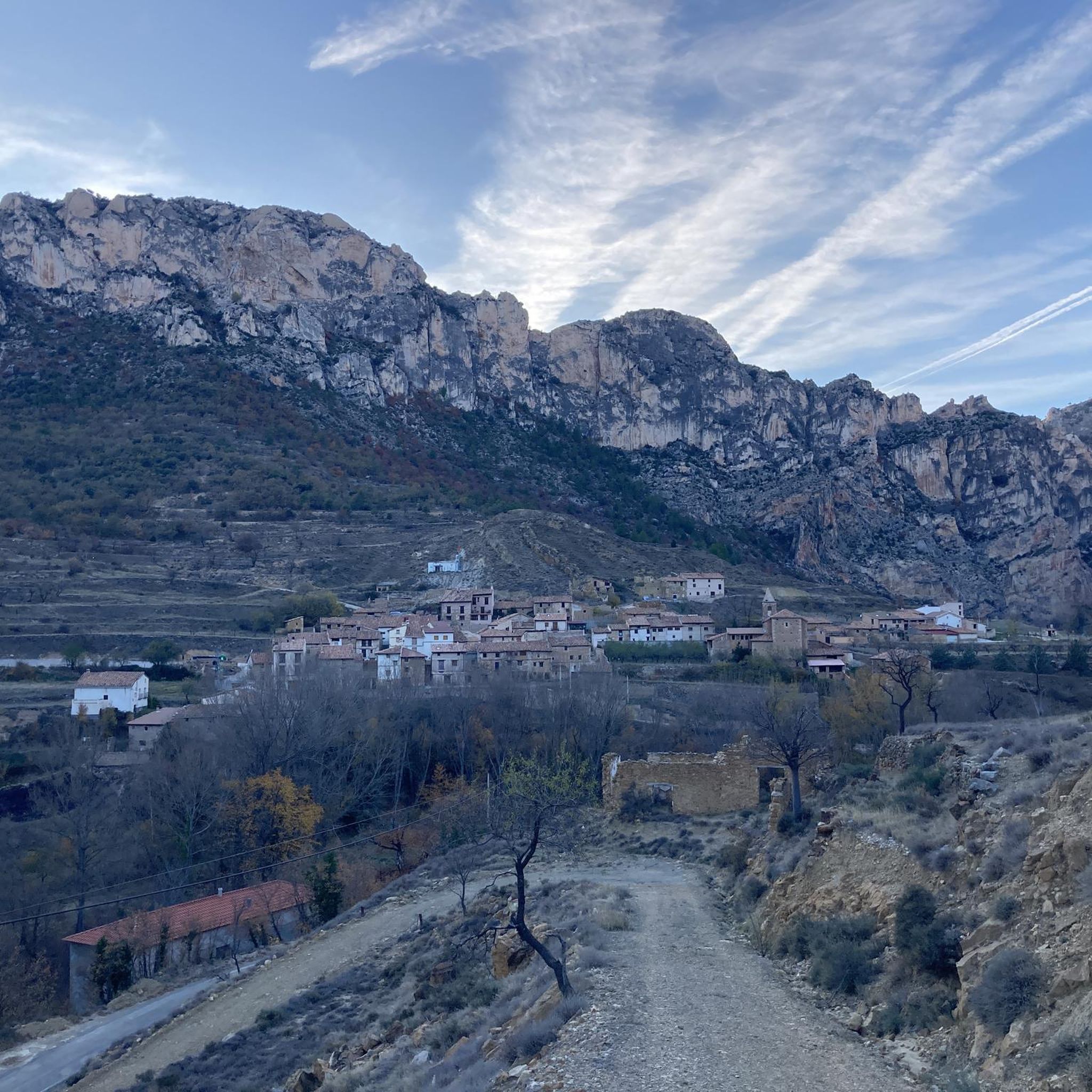
Mountain passes around Villarluengo are found within the dramatic landscape of the Maestrazgo comarca in Teruel, Aragon, Spain. The region is characterized by mountains, ravines, and deep canyons, with the village itself situated at about 1,130 meters elevation. Surrounded by ranges like the Sierra de Garrocha and Sierra Carrascosa, the area offers numerous routes that provide experiences similar to traditional mountain passes. This terrain provides opportunities for exploring wild, untamed nature and dramatic rock formations.
Best mountain passes around Villarluengo
…Last updated: July 1, 2026
Puerto de Majalinos
Highlight • Mountain Pass
Translated by Google •
Tip by

San Cristóbal Pass
Highlight (Segment) • Mountain Pass
DISTANCE: 7.59km
GRADE: 568m
PEND MEAN: 7.48%
MPA COEFFICIENT: 155
CATEGORY: 1st cat
START ALTITUDE: 890m
MAX ALTITUDE GPS: 1458m
Translated by Google •
Tip by
Sign up now to discover places like this
Get recommendations on the best single tracks, peaks, & plenty of other exciting outdoor places.
Sign up for free
Cuarto Pelado Pass
Highlight • Mountain Pass
Translated by Google •
Tip by

Los Órganos de Montoro Pass
Highlight (Segment) • Mountain Pass
Translated by Google •
Tip by
Old Pass of Las Traviesas
Highlight (Segment) • Mountain Pass
Translated by Google •
Tip by
Sign up for free to discover even more mountain passes around Villarluengo.
Sign up for free
Already have an account?
Start today with a free account
Your next adventure awaits.
Login or Signup

Tips from the Community

Tough climb but with beautiful hairpin bends
0
0

Mountain pass that starts in the town of Eljuve, with a length of 7 kilometers and an average slope of 5%. With a height difference of 350 meters, it is a port that rises in the middle of the Iberian System, in the heart of the Sierra de Eljuve
0
0
Mountain port that circles the Sierra de Rocha between the towns of Fortanete and Cantavieja. This port is reached from four roads that come from different towns: two from Cantaviejo, one from Fortanete and the other from Cañada de Benatanduz.
0
0

Good to know what you have in front of you (or is ignorance bliss?)
0
0

Perhaps the hardest port in Aragon. DISTANCE: 7.59km GRADE: 568m PEND MEAN: 7.48% MPA COEFFICIENT: 155 CATEGORY: 1st cat START ALTITUDE: 890m MAX ALTITUDE GPS: 1458m
0
0
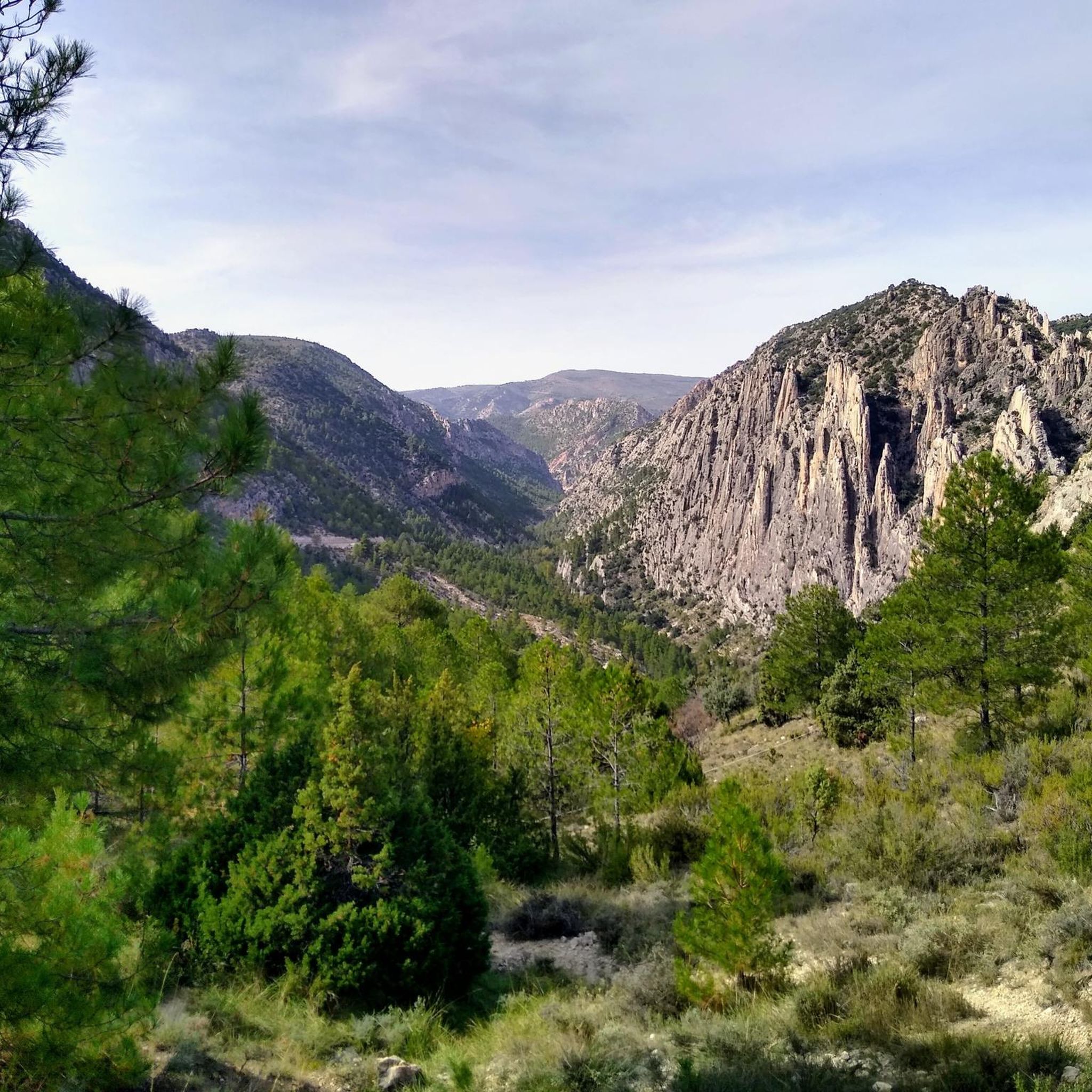
Easy and friendly climb with views of the Organs of Montoro, a natural monument worth visiting. It is included in The Silence Route that runs along the A-1702 road. At the end of the port there is a viewpoint and explanatory panels.
0
0
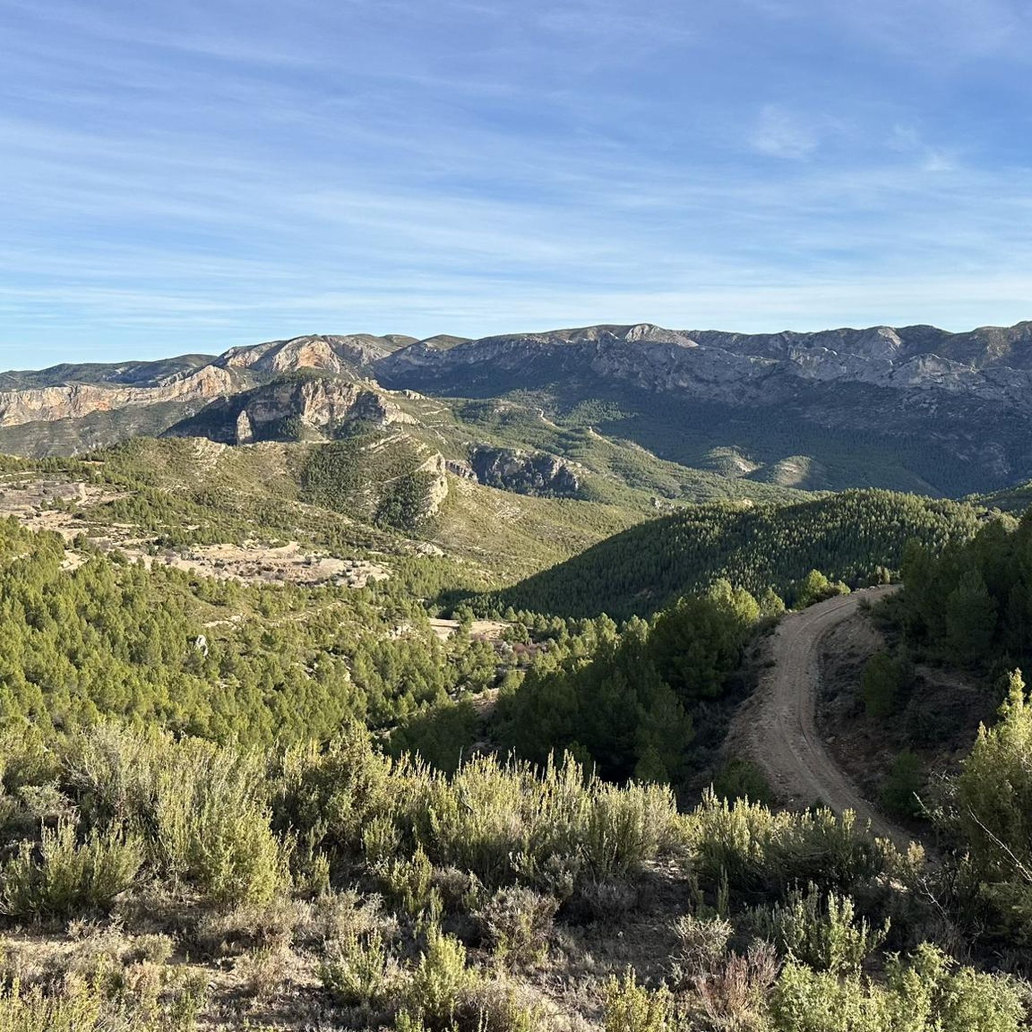
Comfortable climb to the old port of Las Traviesas. Without big slopes, road in good condition and hardly any traffic. It takes a little detour but it is highly recommended.
0
0
Frequently Asked Questions
What kind of natural features can I expect to see around Villarluengo's mountainous terrain?
The region around Villarluengo is characterized by a dramatic landscape of mountains, ravines, and deep canyons. You'll find spectacular and whimsical rocky figures like the Organs of Montoro, which resemble organ pipes pointing skyward. Other notable features include the impressive rebirth of the Pitarque River from a rock face at the Nacimiento del Río Pitarque, and the spectacular walkways of El Estrecho de Valloré.
Are there any family-friendly routes or natural attractions near Villarluengo?
Yes, for families, the Valloré Viewpoint Trail is an easy 3.89 km hike. Additionally, El Estrecho de Valloré, located near Montoro de Mezquita, offers a fluvial route with spectacular walkways that are suitable for families looking for a pleasant outdoor experience.
What are some challenging mountain passes for experienced cyclists or hikers?
For those seeking a challenge, the San Cristóbal Pass is a demanding climb, featuring an ascent of 568m over 7.59 km with a mean gradient of 7.48%. It's considered one of the hardest ports in Aragon. Another significant climb is Puerto de Majalinos, a 1st category port with a length of 12.2 km and an average slope of 3.8%.
When is the best time of year to visit the mountain passes and trails around Villarluengo?
The spring and autumn months are generally ideal for visiting the mountain passes and trails around Villarluengo, offering pleasant temperatures for hiking and cycling. Summers can be hot, and if visiting during this season, it's recommended to bring plenty of water, especially on longer routes like Puerto de Majalinos, due to past fire damage affecting shade. Winters can bring challenging conditions, so check local forecasts if planning a visit during colder months.
Are there opportunities for long-distance hiking in the Villarluengo region?
Yes, portions of the GR 8 long-distance path connect Villarluengo with nearby towns like Pitarque and Mirambel. These trails offer hikers the chance to explore rugged landscapes and experience the region's natural and cultural heritage. You can find more details on routes like the Maestrazgo Trail (GR 8): Tronchón to Mirambel.
Can I bring my dog on the trails around Villarluengo?
While specific rules for dog-friendly trails are not detailed, the wild and untamed nature of the Maestrazgo region generally welcomes outdoor activities. It's always advisable to keep dogs on a leash, especially in areas with wildlife or livestock, and to follow local regulations. Ensure you carry water for your pet, particularly on longer or more exposed routes.
What kind of wildlife might I encounter on the mountain trails around Villarluengo?
The mountainous environment around Villarluengo is home to diverse flora and fauna. While specific species are not listed, the wild nature of the region suggests opportunities for bird watching and observing various local wildlife adapted to the rugged terrain. Keep an eye out for birds of prey and other animals native to the Iberian System.
What outdoor activities can I do near these mountain passes besides cycling?
Beyond cycling, the area offers excellent opportunities for hiking and running. You can explore trails like the Nacimiento del Río Pitarque Trail, a moderate 5.6-mile hike, or the Valloré Viewpoint Loop Trail for running. The region's deep gorges and dramatic rock formations provide a stunning backdrop for various outdoor pursuits.
Are there any less strenuous mountain passes or routes suitable for beginners?
Yes, the Los Órganos de Montoro Pass is described as an easy and friendly climb, offering beautiful views of the Organs of Montoro natural monument. The Old Pass of Las Traviesas also offers a comfortable climb with good road conditions and minimal traffic, making it suitable for those seeking a less strenuous experience.
Where can I find parking information for hiking trails around Villarluengo?
While specific parking locations for each trailhead are not detailed, Villarluengo and nearby towns like Pitarque and Montoro de Mezquita typically offer parking options for visitors accessing the trails. It's advisable to check local signage upon arrival or consult detailed route descriptions on komoot for specific starting points and parking suggestions for your chosen trail.
What is 'The Silence Route' and where can I experience it?
The Silence Route (A-1702) is a scenic driving route that traverses the Maestrazgo region. The Los Órganos de Montoro Pass is part of this route, offering stunning views of the Organs of Montoro natural monument. It's an excellent way to experience the dramatic landscapes by car, with opportunities to stop at viewpoints and access nearby trails.
What is the PR-TE-66.B Trail and what does it offer?
The PR-TE-66.B Trail, connecting Villarluengo to Torre Gorgue, is a 2.9-kilometer route considered to be of medium difficulty. It meanders through varied landscapes, offering panoramic views and an opportunity to connect with nature and observe wildlife. It's a pleasant stroll suitable for those looking for a moderate hike without being expert mountaineers, culminating at Torre Gorgue for reflection and rest.
Most popular routes around Villarluengo
Most popular attractions around Villarluengo

Get inspired with the komoot mobile app


Explore more
See even more epic mountain passes by checking out these guides around Villarluengo:
