Top 5 Mountain Passes around Quintanaélez
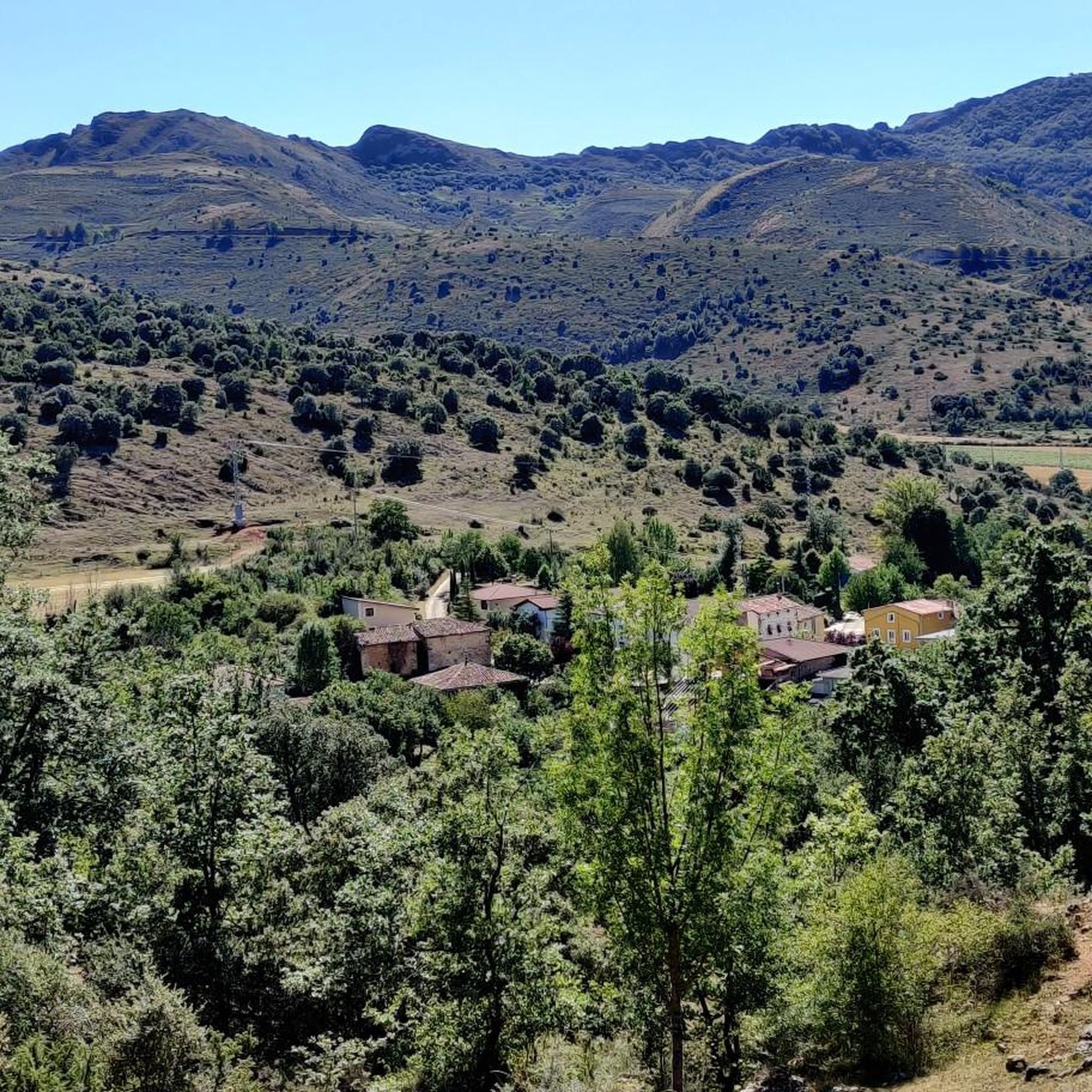
Best mountain passes around Quintanaélez are found in a small municipality in the province of Burgos, Castilla y León, Spain. The region's geography is defined by the Sierra de Oña to the north and a gradual descent towards the Oca River valley to the south. Quintanaélez is situated at the foot of Montes Sobarenes, with its terrain elevation ranging from 650 meters to 1235 meters at its highest point, Pan Perdido. This area offers diverse landscapes for hiking trails near…
Last updated: October 5, 2026
Portillo de Busto
Highlight • Mountain Pass
Translated by Google •
Tip by

PortilloDeLosJabalies
Highlight • Mountain Pass
Translated by Google •
Tip by
Sign up now to discover places like this
Get recommendations on the best single tracks, peaks, & plenty of other exciting outdoor places.
Portillo del Mercado
Highlight • Mountain Pass
Translated by Google •
Tip by
Mountain pass
Highlight • Mountain Pass
Translated by Google •
Tip by
Start today with a free account
Your next adventure awaits.
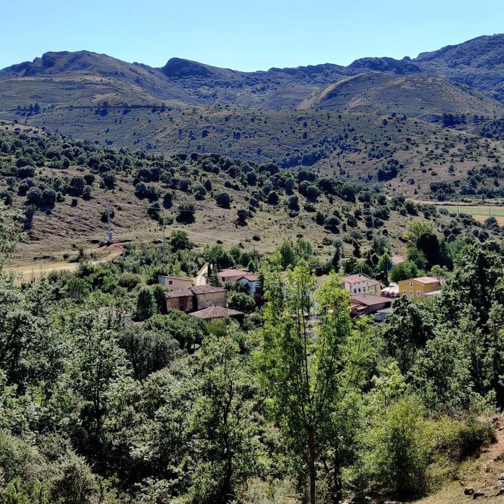
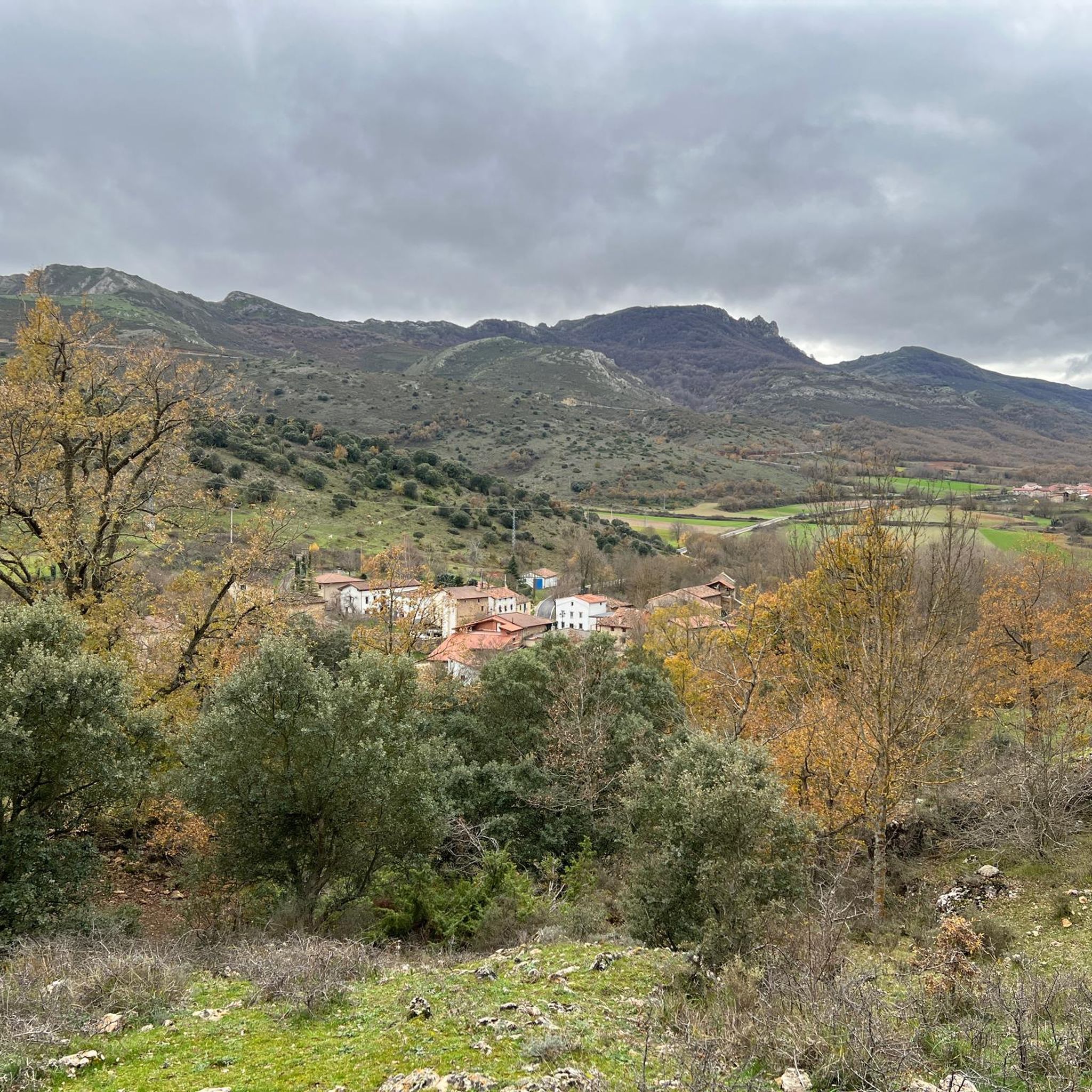
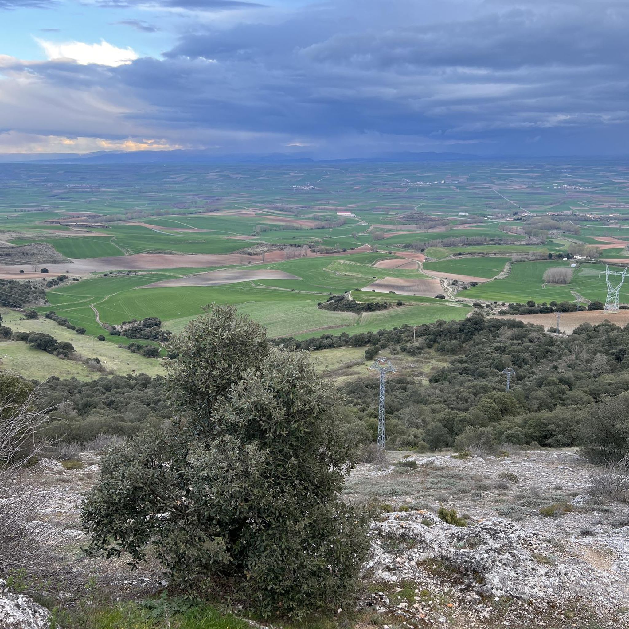
Tips from the Community

A true boundary between zones, crossed by a road, just at an altitude of 1,000 metres.
1
0
A delightful viewpoint of the entire Bureba area.
1
0
When you climb it, you get a nice break after the steep slope through the beech forest.
1
0

a highly recommended area for hiking.
0
0
To decide whether to go west (Lost Bread) or east (Petralata Castle). The second option is more dangerous, no doubt.
1
0

Portillo del Mercado is a large open esplanade with magnificent views of the Sierra de Oña and the valley. The climb from the valley is somewhat demanding, with a climb of about 400 meters up a narrow path in the forest.
1
0

Mountain pass that starts right in the lower town of La Aldea and is located just over three kilometers in a southerly direction!
0
0
Close to the mountain pass there is the Portillo de Busto Lookout which offers immense views of the Busto de Brueba area.
0
1
Frequently Asked Questions
What types of mountain passes can I expect to find around Quintanaélez?
The area around Quintanaélez features a variety of mountain passes, many of which serve as viewpoints and natural monuments. These passes often offer impressive panoramas and are integral to various routes, sometimes acting as decision points for different trails.
Which mountain passes offer the best views of the surrounding region?
For stunning vistas, consider visiting Portillo de Busto, which provides expansive views of the entire Bureba area. Another excellent option is PortilloDeLosJabalies, known for its imposing panorama after a climb through a beech forest.
Are there any mountain passes that are easily accessible by car or have nearby parking?
Yes, Portillo de Busto is particularly accessible, offering splendid views just 50 meters from a car park, making it convenient for visitors.
What outdoor activities can I do near the mountain passes around Quintanaélez?
The region offers diverse outdoor activities. You can find numerous cycling routes, including options for touring bicycles and road cycling, such as the 'Natural Park of Montes Obarenes - San Zadornil — circular from Frías' or routes featuring Portillo de Busto. There are also running trails, like the 'Climb to El Cueto and Poyos - through the Sierra de Oña' in the Montes Obarenes-San Zadornil Natural Park. For more details on routes, you can explore the cycling guide, road cycling guide, and running guide for Quintanaélez.
What is the terrain like on the mountain passes near Quintanaélez?
The terrain varies, with some passes like PortilloDeLosJabalies involving steep climbs through beech forests. The overall elevation in the municipality ranges from 650 meters to 1235 meters at its highest point, Pan Perdido, indicating a mix of ascents and descents.
Are there any family-friendly mountain passes or trails in the area?
Yes, Portillo de Busto is categorized as family-friendly, offering easy access to its viewpoint just 50 meters from parking, making it suitable for families.
What natural features or landmarks can be found at these mountain passes?
Many of the mountain passes around Quintanaélez are designated natural monuments. For instance, the generic Mountain pass is a natural monument and a key point for routes towards Lost Bread or Petralata Castle. You'll also encounter beech forests on some climbs, such as on the way to PortilloDeLosJabalies.
What do visitors appreciate most about the mountain passes around Quintanaélez?
Visitors frequently highlight the imposing panoramas and splendid views offered by the passes. The komoot community has shown appreciation with 11 upvotes and 23 photos, often noting the rewarding breaks after challenging climbs and the natural beauty of the area.
Where is Quintanaélez located and what is its general geography?
Quintanaélez is a small municipality in the province of Burgos, within the autonomous community of Castilla y León, Spain. Its geography is defined by the Sierra de Oña to the north and a gradual descent southward towards the Oca River valley. It is situated at the foot of Montes Sobarenes.
Are there any specific points of interest or decision points on the mountain passes?
Yes, the generic Mountain pass serves as an important decision point for routes, allowing you to choose between heading west towards Lost Bread or east towards Petralata Castle.
What is the highest point in the Quintanaélez area?
The highest point in the municipality of Quintanaélez is known as Pan Perdido, reaching an altitude of 1235 meters. The terrain generally ranges from 650 meters to this peak.
Most popular attractions around Quintanaélez

Get inspired with the komoot mobile app


Explore more
See even more epic mountain passes by checking out these guides around Quintanaélez:
