Top 3 Mountain Passes around Siete Aguas
Mountain passes around Siete Aguas are found within the Sierra de las Cabrillas in Valencia, Spain, characterized by mountainous terrain and extensive pine forests. The region offers elevated points and challenging routes with significant elevation changes and panoramic views. Elevations range from approximately 600 meters in the village to over 1000 meters in the surrounding hills. Diverse landscapes include rolling hills, dense forests, rocky outcrops, and gorges, providing varied experiences for trekkers.
Best mountain passes around Siete Aguas
- The most…
Last updated: July 1, 2026
El Gabaldón Pass
Highlight (Segment) • Mountain Pass
Translated by Google •
Tip by

Collado Umán
Highlight (Segment) • Mountain Pass
Translated by Google •
Tip by
Sign up now to discover places like this
Get recommendations on the best single tracks, peaks, & plenty of other exciting outdoor places.
Sign up for free
Climb Out of the Turia Valley to Sot de Chera
Highlight (Segment) • Climb
Tip by

Sot de Chera Natural Park
Highlight (Segment) • Trail
Translated by Google •
Tip by
Puerto de Cardera
Highlight • Mountain Pass
Translated by Google •
Tip by

Sign up for free to discover even more mountain passes around Siete Aguas.
Sign up for free
Already have an account?
Start today with a free account
Your next adventure awaits.
Login or Signup
Popular around Siete Aguas

GR 238 Tierra del Vino - A journey on foot through lands of silence
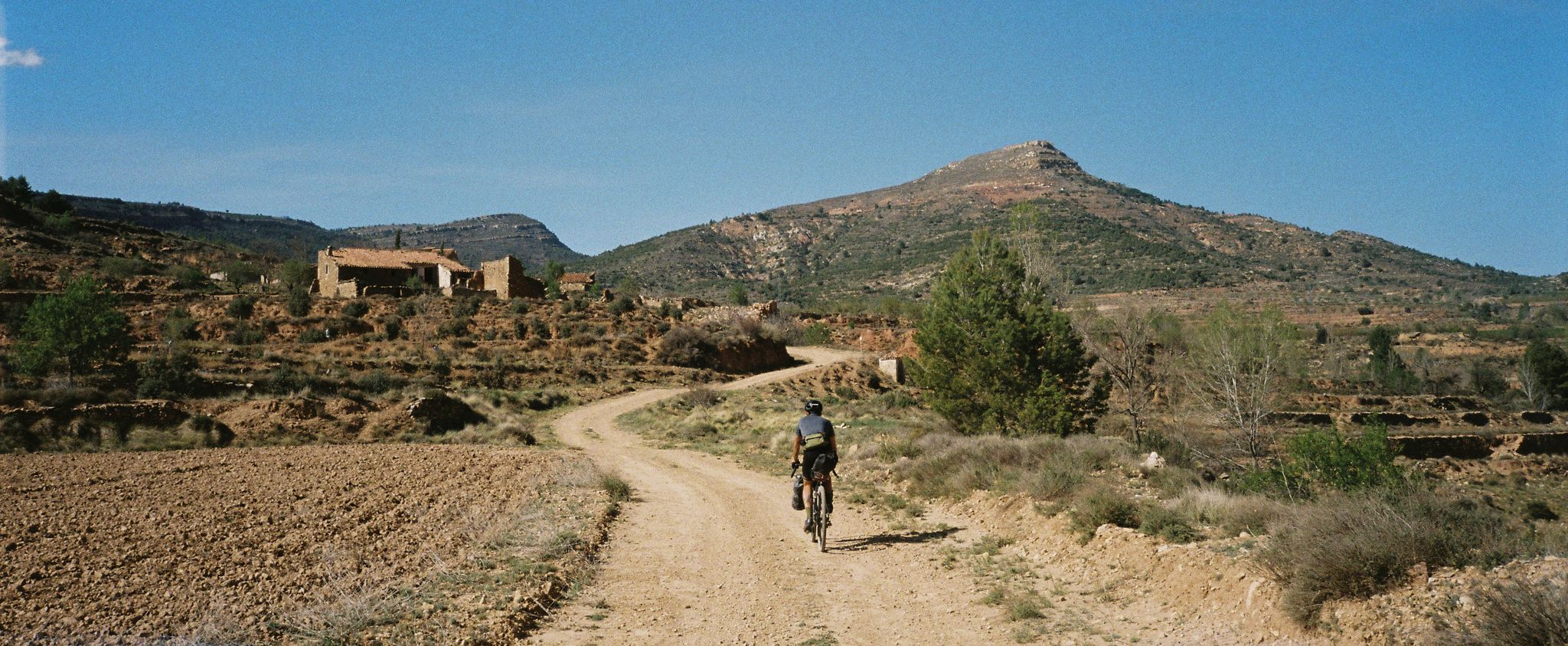
Path of the Tasters - Bikepacking in the Valencian ranges
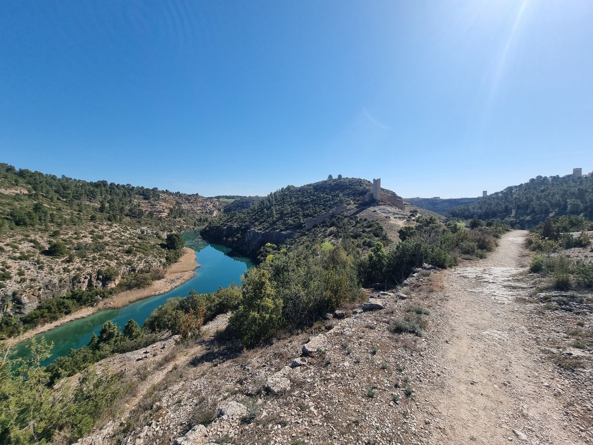
A gravel bike adventure between Madrid and Valencia
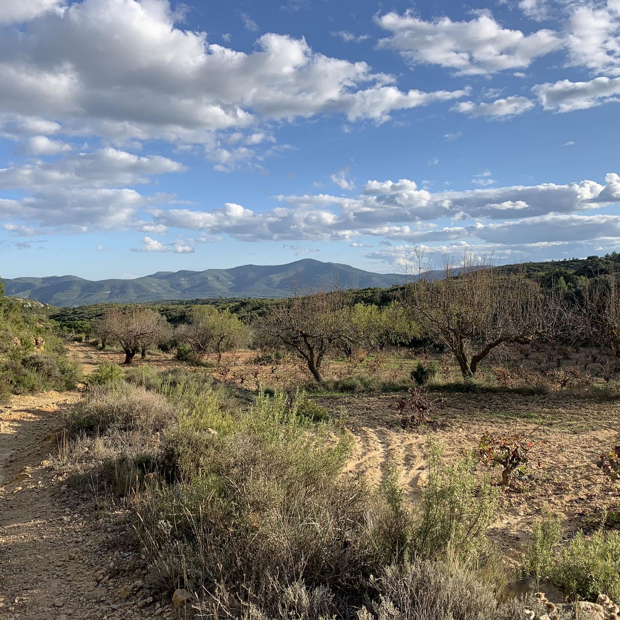
Road Cycling Routes around Siete Aguas
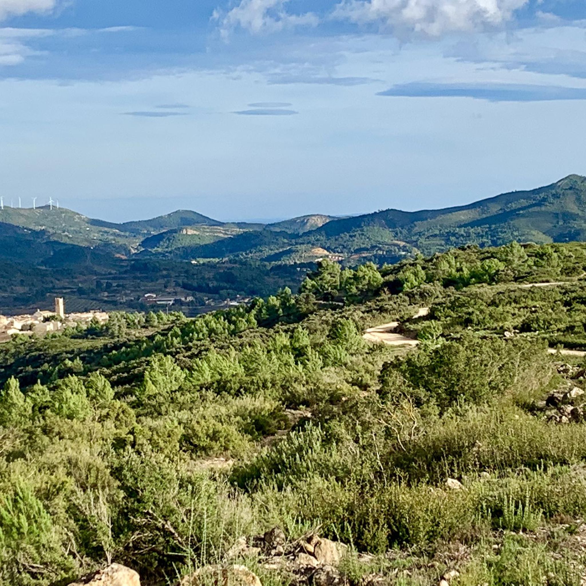
MTB Trails around Siete Aguas
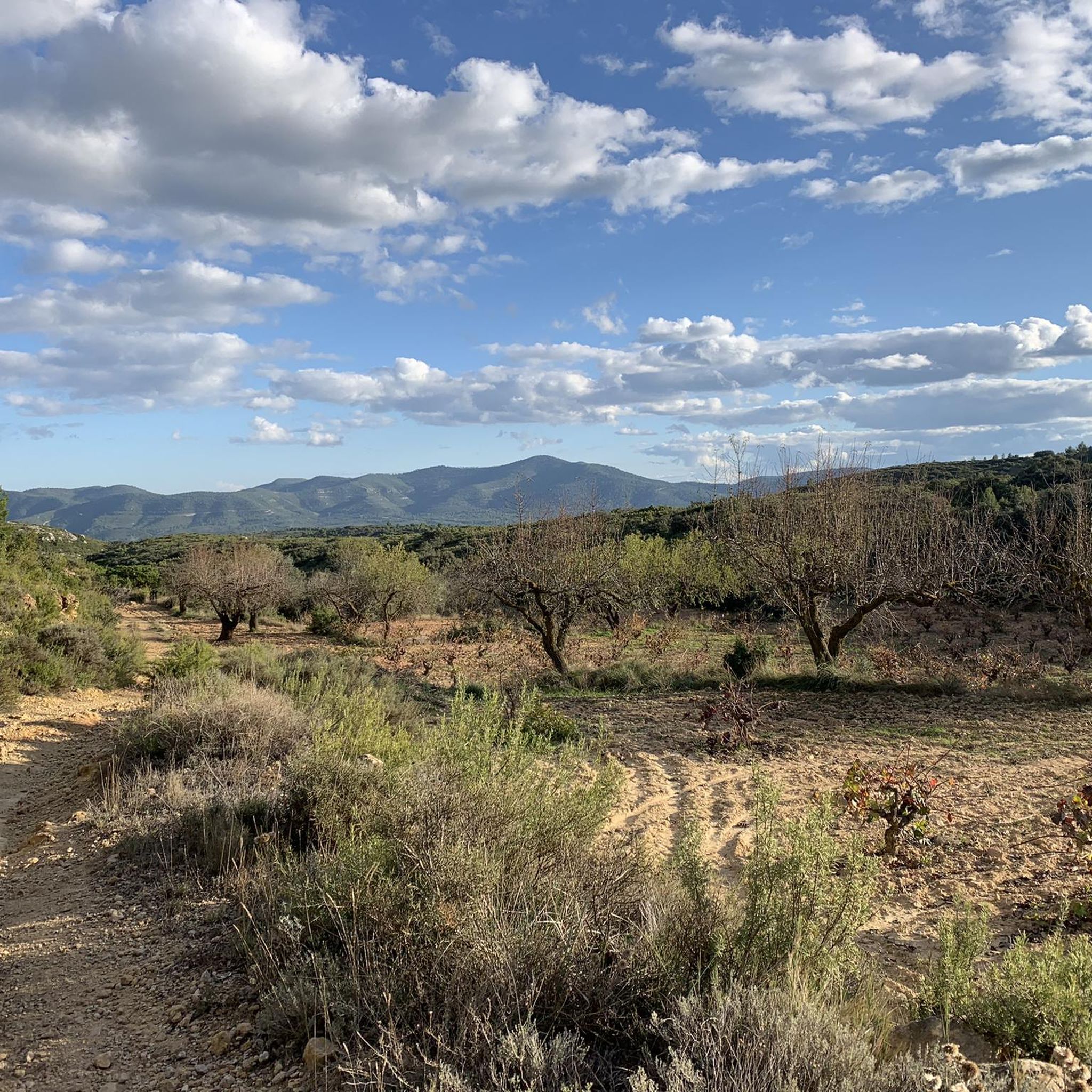
Cycling around Siete Aguas
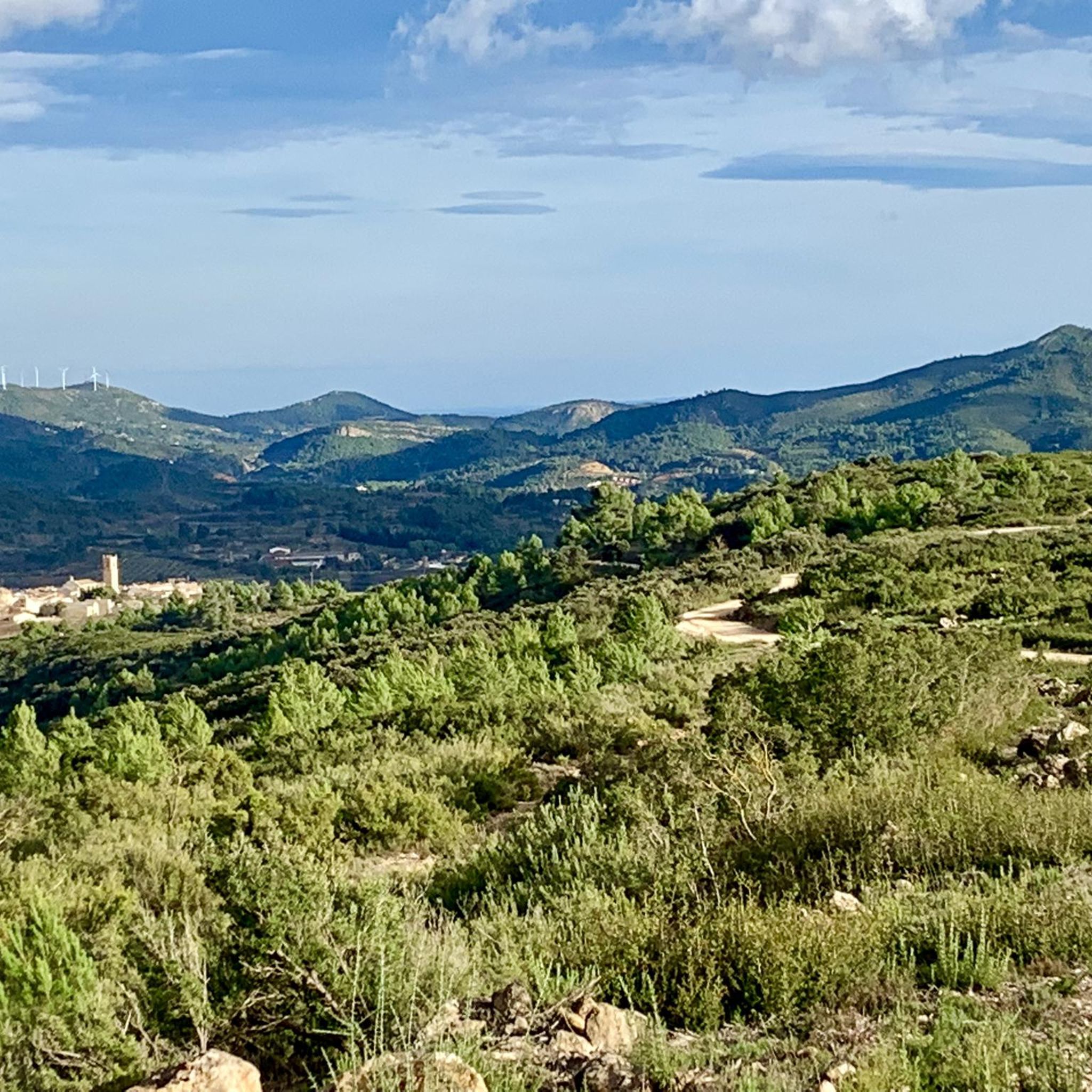
Running Trails around Siete Aguas
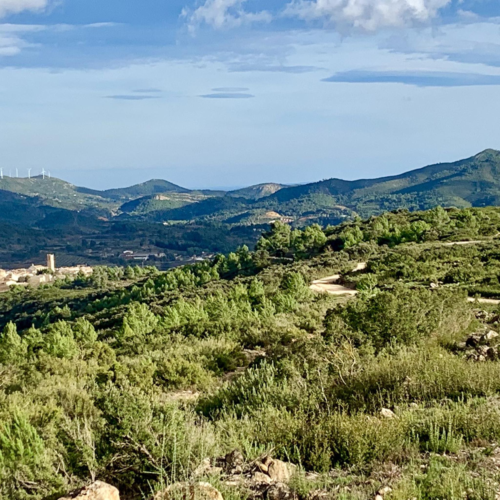
Hiking around Siete Aguas
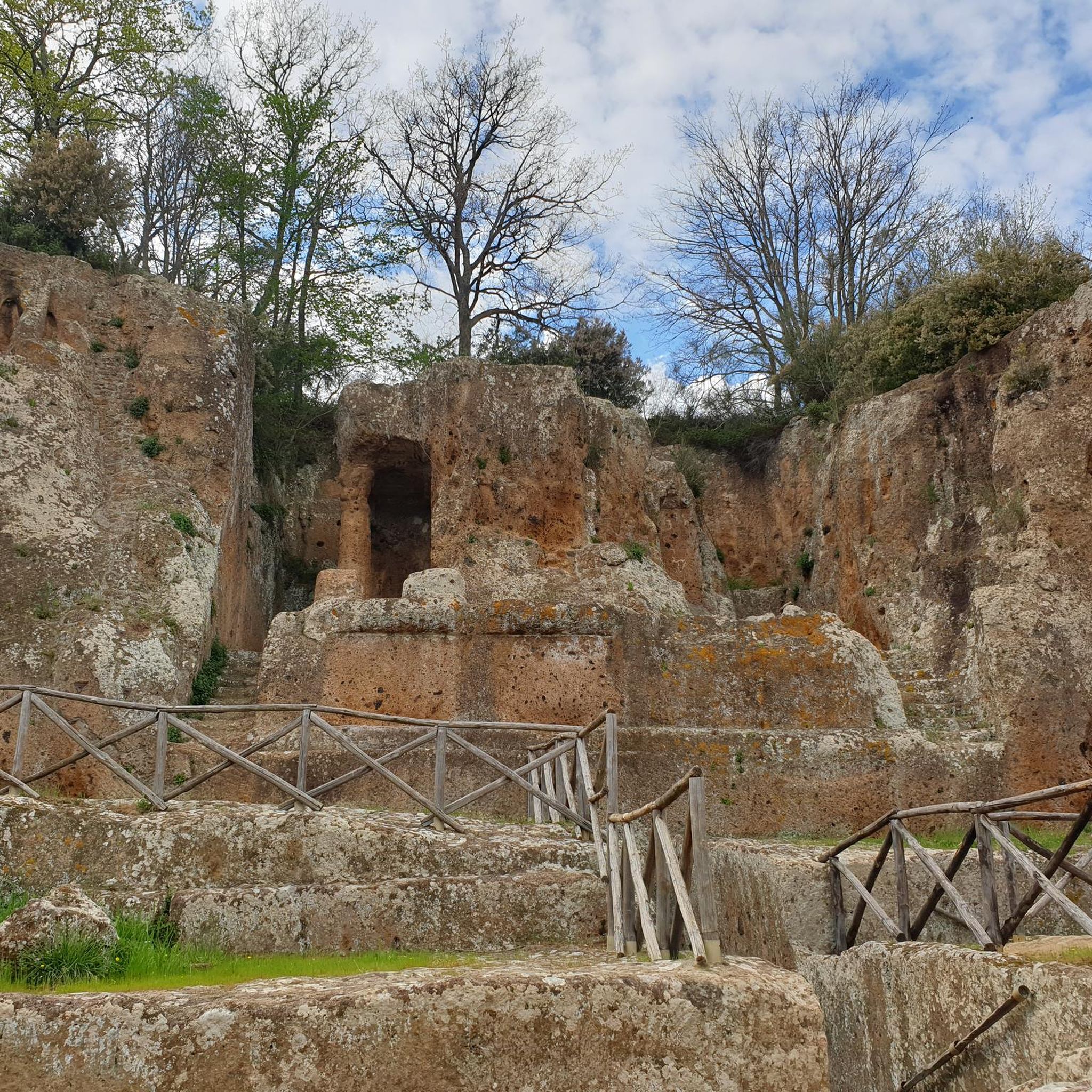
Gravel biking around Siete Aguas
Other adventures around Siete Aguas


Tips from the Community

The slope coming from Yatova is 3.1 km with 152 m of positive elevation gain, leaving an average gradient of 5.0% and a maximum of 9.3% (according to the Diputación signs, which provide information at the start, sections every 1 km, and the end). Asphalt in very good condition, mostly quiet road with no traffic.
0
0
The road is narrow but in excellent condition (as of 2025, it's so new it doesn't even have painted lines yet). It's 3.7 km long with an average gradient of 6.0% and a maximum gradient of 10.5%, for a total elevation gain of 221 m, reaching a summit of 409 m above sea level (according to official signage). After a short descent, you can connect to the Puerto del Barranco de la Escoba pass, or take the secondary road to climb La Marjana.
1
0

At this point on the road from Yátova, there is a sign indicating Puerto de Cardera. If you descend along a track from Puntal de la Nevera, you will reach this pass. Further along the road is Collado de los Tormos, which leads to a path that descends to the Forata reservoir.
1
0

Ports are very hard but very very beautiful. Be careful, narrow road.
1
0

Road section in excellent condition and almost all the time without traffic, which makes it a perfect combination to ride at any time of the year. It is not very demanding and when you reach the pass the views are very pleasant.
1
0
Section of road to go up to the port of El Gabaldón linking the city of Chiva with Gestalgar. A very picturesque route and not very physically demanding.
3
0
Section of road that passes through the Chera-Sot de Chera Natural Park. It is perhaps one of the most colorful sections of the province of Valencia with an excellent paved surface and an entertaining zigzag running alongside the limestone gorge. Starting from Requena it will be downhill and on the way back an interesting climb!
2
0

A great route over the river valley!
0
0
Frequently Asked Questions
What are some family-friendly mountain passes around Siete Aguas?
For a pleasant and less demanding experience, consider Collado Umán. It features a road section in excellent condition, often without traffic, making it ideal for families. The terrain is rolling with low slopes, and the views at the pass are very enjoyable. While not a traditional pass, the Fountains Route, which includes areas like Pico de la Nevera and Pico del Tejo, offers beautiful natural landscapes suitable for family exploration.
Are there challenging mountain passes for experienced cyclists or hikers?
Yes, for those seeking a challenge, El Gabaldón Pass offers a picturesque route with an average gradient of 6.0% and a maximum of 10.5%. Another option is the Climb Out of the Turia Valley to Sot de Chera, a well-surfaced road climb with great views. For hiking, the Puntal de las Palomas area provides a moderate to strenuous loop with over 500 meters of ascent, suitable for experienced trekkers.
What kind of views can I expect from the mountain passes in this region?
The mountain passes and elevated points around Siete Aguas offer diverse and panoramic views. From highlights like Collado Umán and Climb Out of the Turia Valley to Sot de Chera, you can see sweeping vistas of the Turia valley, dense pine forests, and rolling hills. The region is characterized by its mountainous terrain, rocky outcrops, and gorges, providing a dynamic visual experience.
When is the best time of year to visit the mountain passes around Siete Aguas?
Siete Aguas benefits from a cooler climate due to its elevation and abundant shade from pine forests. This makes it an ideal destination for hiking and cycling during spring, autumn, and even summer. Spring and autumn offer pleasant temperatures and vibrant natural colors, while summer provides a refreshing escape from the heat of lower altitudes.
What natural features can I explore near these mountain passes?
The region is rich in natural beauty. You can explore extensive pine forests, numerous natural springs, and diverse landscapes including rolling hills, rocky outcrops, gorges, and cliffs. The Sot de Chera Natural Park is a highlight, featuring a limestone gorge and diverse plant species. Impressive waterfalls, such as those at Turche Cave and Chorradores de Navarrés, are particularly spectacular after heavy rains.
Can I go cycling on these mountain passes?
Absolutely. Many of the mountain passes around Siete Aguas are popular with cyclists. Highlights like El Gabaldón Pass and Collado Umán are noted for their excellent road conditions and suitability for cycling. You can find more detailed routes and options in our Road Cycling Routes around Siete Aguas guide and Traffic-free bike rides around Siete Aguas guide.
Are there mountain biking trails near Siete Aguas?
Yes, Siete Aguas offers a variety of mountain biking trails. The diverse terrain, including pine forests and elevated points, provides excellent opportunities for MTB. You can explore routes such as the 'Puntal de las Palomas – Abandoned bridge loop' or the 'Aqueduct ruins – Abandoned bridge loop from Siete Aguas'. For more options, refer to our MTB Trails around Siete Aguas guide.
Are there any historical or cultural points of interest near the mountain passes?
While the region is primarily known for its natural beauty, there are historical elements. The area is part of the historic Vía de la Lana, a long-distance pilgrimage route. Additionally, Pico de la Nevera features an old ice house, offering a glimpse into past local traditions and infrastructure.
What are the road conditions like on the mountain passes?
Many of the roads leading to and over the mountain passes are in excellent condition. For instance, the road to El Gabaldón Pass is well-maintained, and Collado Umán is noted for its perfect condition and lack of traffic. Similarly, the climb to Sot de Chera is on a well-surfaced road. Puerto de Cardera also has asphalt in very good condition, mostly quiet with no traffic.
Are there options for circular walks or routes around the mountain passes?
Yes, the region offers several circular routes that incorporate mountain passes and elevated areas. For example, the Puntal de las Palomas area is part of a nearly 14 km hiking loop. Many cycling routes, such as the 'El Gabaldón Pass – Barranco de la Escoba Pass loop from Buñol' found in our Traffic-free bike rides around Siete Aguas guide, are also circular, allowing you to experience diverse landscapes.
What do visitors enjoy most about the mountain passes and surrounding areas of Siete Aguas?
Visitors frequently praise the diverse landscapes, from lush valleys and abundant natural springs to dense pine forests and dramatic gorges. The challenging yet rewarding hikes and bike rides, combined with the panoramic views from elevated points, are also highly appreciated. The cooler climate, even in summer, makes it a comfortable destination for outdoor activities, and the generally quiet roads enhance the experience for cyclists.
Most popular routes around Siete Aguas
Most popular attractions around Siete Aguas

Get inspired with the komoot mobile app


Explore more
See even more epic mountain passes by checking out these guides around Siete Aguas:
