Top 6 Mountain Passes around Torrelles De Llobregat
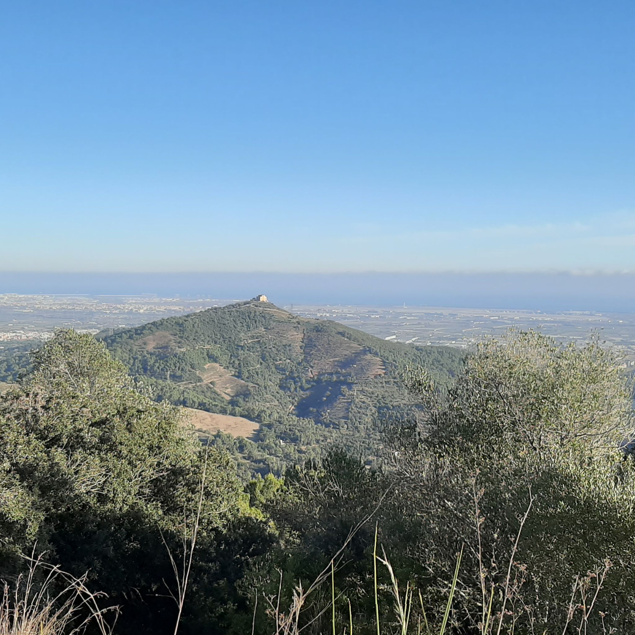
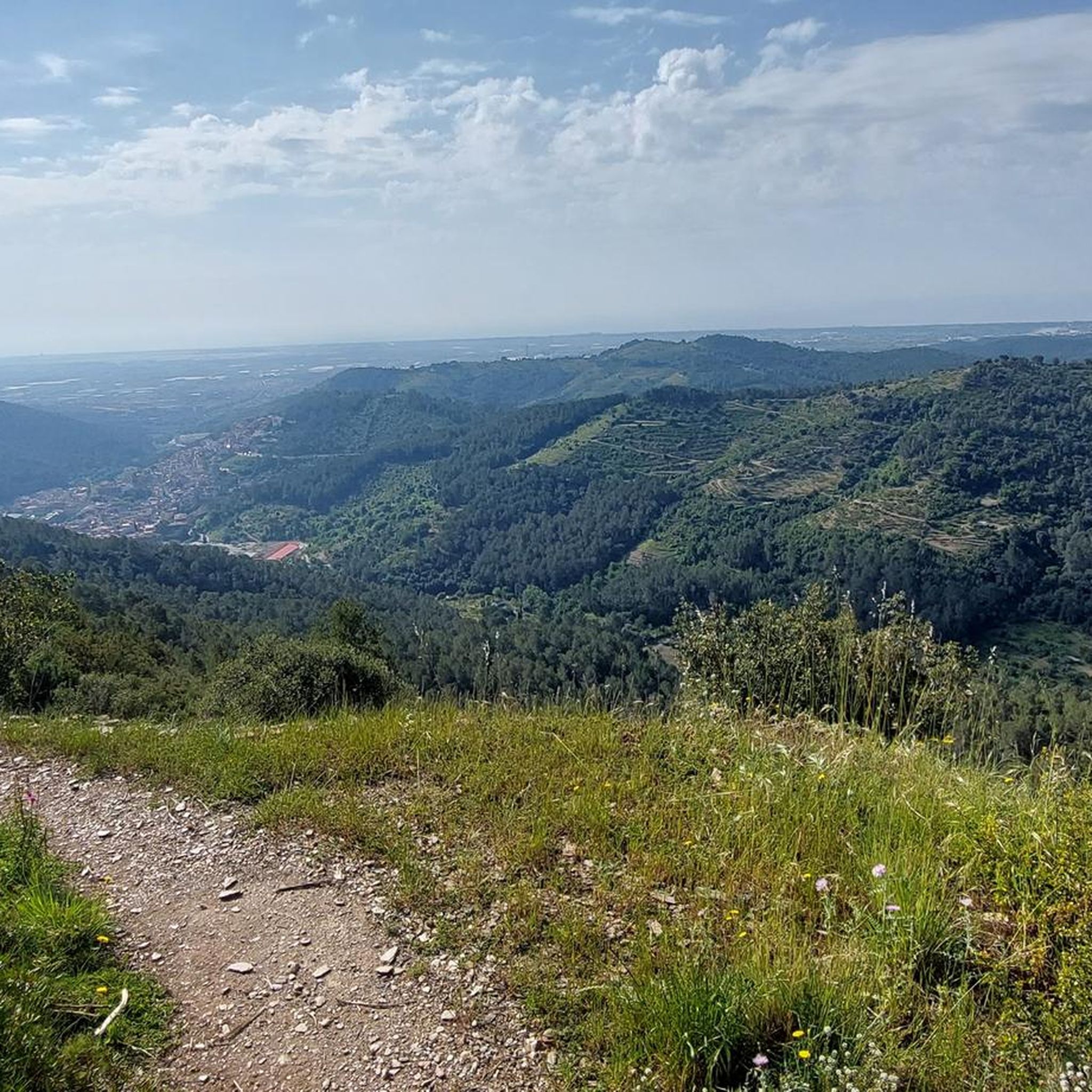
Best mountain passes around Torrelles de Llobregat are situated within a mountainous area characterized by peaks and geological formations. This region, part of the Serra de l'Ordal range, offers diverse terrain for outdoor activities. The landscape provides panoramic views and engaging trails, connecting to the Llobregat valley. The area is known for its natural beauty and opportunities for exploration.
Best mountain passes around Torrelles De Llobregat
- The most popular mountain passes is Creu d'Aragall Pass (537 m), a mountain pass that mainly occupies a mountainous area located at the northern end of the Ordal mountain range. It connects to the Llobregat valley and features a 6.7 km ascent with an average slope of 6.2%.
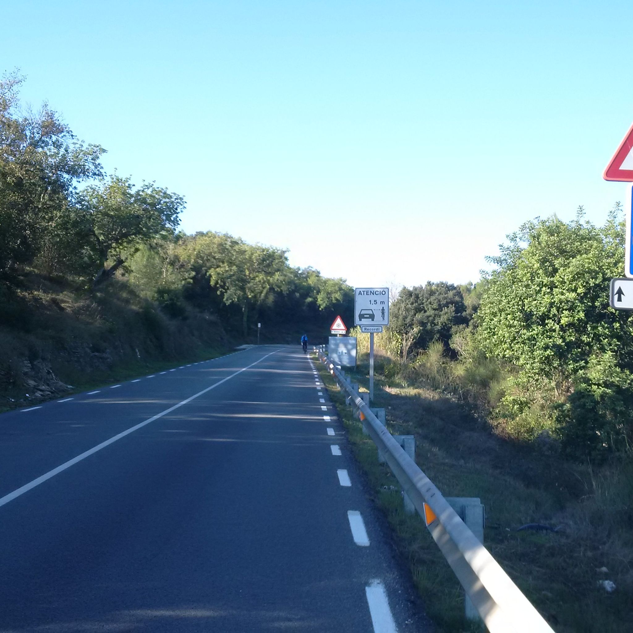
- Another must-see spot is Alt de la Creu d'Aragall (537 m) – Gelida Side, an intermediate mountain pass with a constant climb and perfect asphalt. This route offers a tranquil experience with little traffic, making it suitable for training and enjoyment.
- Visitors also love Coll de Can Grau, an intermediate mountain pass with a pleasant climb along a narrow road. This route is noted for its scenic qualities and minimal car traffic.
- Torrelles De Llobregat is known for its challenging climbs, scenic viewpoints, and intermediate trails. The area offers a variety of mountain passes suitable for cycling and hiking, providing diverse experiences for outdoor enthusiasts.
- The mountain passes around Torrelles De Llobregat are appreciated by the komoot community, with 72 upvotes and 13 photos contributed by users.
Last updated: July 1, 2026
Creu d'Aragall Pass (537 m)
Highlight • Mountain Pass
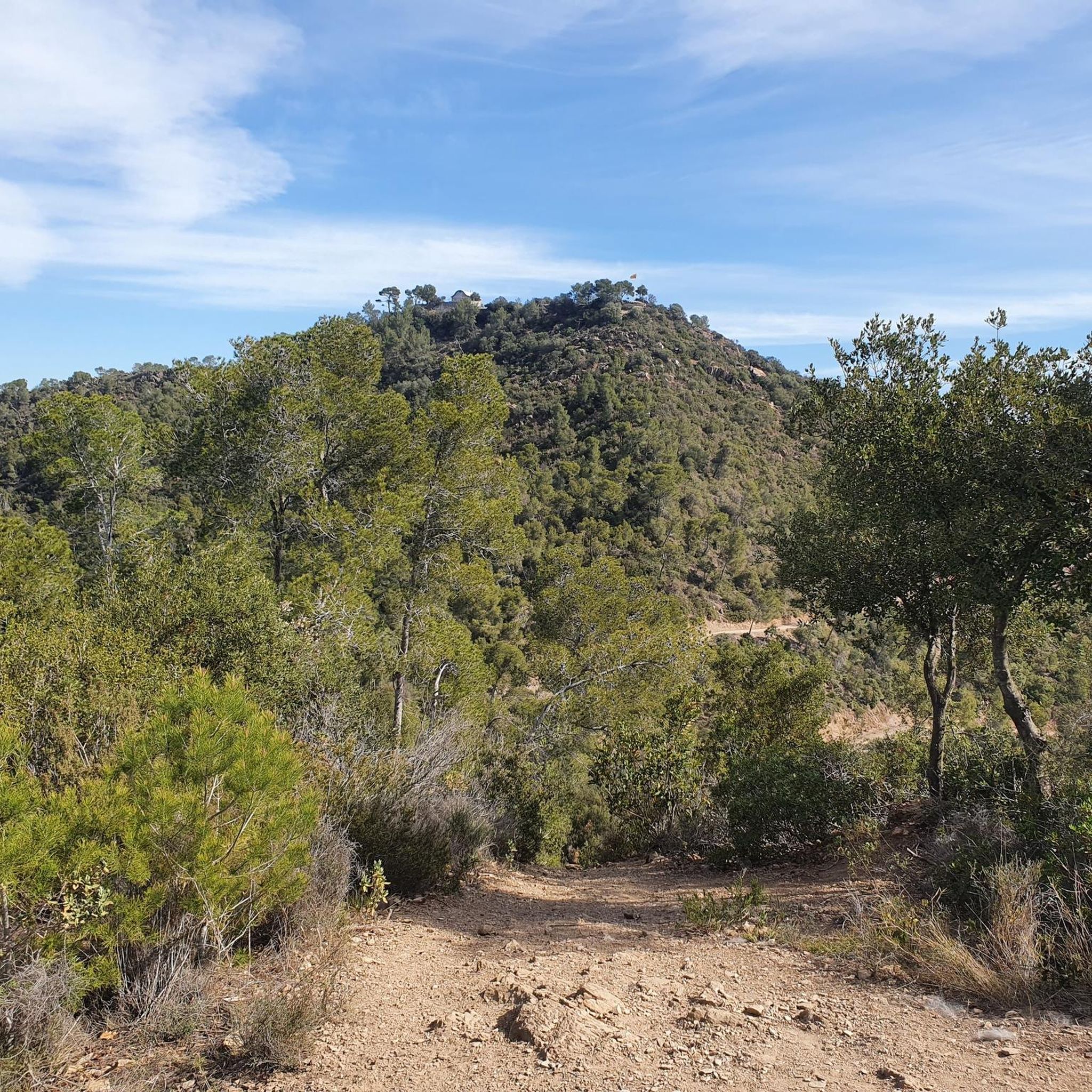
The vegetation in the mountainous area is typical of the Catalan pre-coastal mountains, mainly pine forest with undergrowth with bushes, being a very hot area in summer.
The port from Gelida is 6.7 kilometers long, with an average slope of 6.2% and a maximum slope of 13% in the first stages.
Translated by Google •
Tip by

Alt de les Bassioles
Highlight • Mountain Pass
Translated by Google •
Tip by

Sign up now to discover places like this
Get recommendations on the best single tracks, peaks, & plenty of other exciting outdoor places.
Sign up for free
Alt de la Creu d'Aragall (537 m) – Gelida Side
Highlight (Segment) • Mountain Pass
It is a perfect port to train and enjoy the tranquility.
Gelida is the starting point, although it is true that either from Martorell or from Sant Sadurní, the road goes up.
Translated by Google •
Tip by

Coll de Can Grau
Highlight (Segment) • Mountain Pass
It is a stretch that is very worthwhile; I have always found it very pleasant.
Showing Translation
Tip by
Portell Pass
Highlight • Mountain Pass
Translated by Google •
Tip by

Sign up for free to discover even more mountain passes around Torrelles De Llobregat.
Sign up for free
Already have an account?
Start today with a free account
Your next adventure awaits.
Login or Signup
Tips from the Community

Connection point for tracks and trails next to the road
0
0

It is a small hill that separates the towns of Olesa de Bonesvalls and Vallirana, crossing several housing estates. It usually has little traffic. The road is in perfect condition on both sides. The Olesa side is irregular, with hard areas and rest areas, crossing a pine forest at the beginning and, in the final part, the previously mentioned housing estates. It has a couple of hard ramps. The Vallirana side has an initial part on the l'Ordal road, a national road with a lot of traffic. Afterwards, take a detour to the left, cross a cement factory and face the last 2 kms, the hardest by far, where you gain a lot of altitude to enjoy the views of the valley.
0
0
It is a very pleasant climb along a narrow road with non-existent traffic. It is a stretch that is very worthwhile; I have always found it very pleasant.
2
0


High point. A challenge.
0
0

Challenging climb due to high gradient at times, with little traffic.
0
0
It is a constant climb, full of shadows, with perfect asphalt, with little traffic, turns at the beginning and with more straights in the intermediate and final parts. It is a perfect port to train and enjoy the tranquility. Gelida is the starting point, although it is true that either from Martorell or from Sant Sadurní, the road goes up.
0
0
It is a very pleasant and quiet climb that connects Gelida with the area of Corbera de Llobregat and Palma de Cervelló. The two slopes are very fun and shady, the Gelida slope being more constant and the Corbera slope with steps. At the top of the port there is a very legendary bar where you usually stop to have a coffee... or eat something else.
0
0
Frequently Asked Questions
What kind of landscape can I expect around the mountain passes near Torrelles de Llobregat?
The area around Torrelles de Llobregat is characterized by a mountainous landscape, part of the Serra de l'Ordal range. You'll find diverse terrain with peaks and geological formations, offering panoramic views and engaging trails. The vegetation is typical of the Catalan pre-coastal mountains, mainly pine forest with undergrowth.
Which mountain passes are popular for cycling or hiking in this region?
Among the popular choices, Creu d'Aragall Pass (537 m) is a significant mountain pass located at the northern end of the Ordal mountain range, connecting to the Llobregat valley. It features a 6.7 km ascent with an average slope of 6.2%. Another favorite is Alt de la Creu d'Aragall (537 m) – Gelida Side, known for its constant climb, perfect asphalt, and tranquil experience with little traffic, making it suitable for training and enjoyment.
Are there any less-trafficked mountain passes for a quieter experience?
Yes, Coll de Can Grau offers a very pleasant climb along a narrow road with minimal car traffic. Visitors appreciate its scenic qualities and quiet atmosphere, making it a great choice for a peaceful ride or hike.
What are the difficulty levels of the mountain passes in the area?
The mountain passes around Torrelles de Llobregat offer a range of challenges. For instance, Creu d'Aragall Pass (537 m) is considered challenging, with a maximum slope of 13% in its initial stages. Alt de les Bassioles is an intermediate pass with short but intense ramps reaching 16%. Coll de l'Ordal is also known for its hard final ramp.
What outdoor activities can I do near these mountain passes?
Beyond exploring the passes themselves, the region offers various outdoor activities. You can find numerous hiking trails, including moderate routes like the 'Blue Sun Route' and more difficult ones such as the 'Colina de Vicenç, de la Bruguera por las cuevas de Can Riera' loop. There are also extensive options for MTB trails and gravel biking, catering to different skill levels.
Are there any notable natural landmarks or viewpoints in the mountainous area?
Yes, the region boasts several natural attractions. Puig Vicenç, the highest mountain in the Serra de l'Ordal range, offers brutal views of Barcelona and the Llobregat Delta. While not a pass, it's a significant peak for panoramic vistas. Additionally, the unique Can Riera Caves, with their reddish and orange clay walls, are a geological formation often likened to a 'Catalan Antelope Canyon'.
What is the best time to visit the mountain passes around Torrelles de Llobregat?
The mountainous area around Torrelles de Llobregat can be very hot in summer due to its typical Catalan pre-coastal mountain vegetation. For more comfortable hiking and cycling, spring and autumn generally offer milder temperatures and pleasant conditions. Always check local weather forecasts before heading out.
Are there family-friendly hiking options near the mountain passes?
While some passes can be challenging, there are family-friendly hiking options in the broader Torrelles de Llobregat area. For example, the 'Can Riera Caves loop from Torrelles de Llobregat' is an easy 5 km hike. When planning, look for trails categorized as 'easy' or 'moderate' within the hiking guide for the region.
What do visitors appreciate most about the mountain passes in this region?
Visitors frequently praise the challenging climbs, scenic viewpoints, and intermediate trails. The area is appreciated for its diverse experiences for outdoor enthusiasts, with many highlighting the tranquility and perfect asphalt on routes like Alt de la Creu d'Aragall (537 m) – Gelida Side, and the pleasant, less-traveled roads of Coll de Can Grau.
Can I reach the hiking areas or mountain passes using public transport?
While the guide data doesn't specify direct public transport links to every pass, Torrelles de Llobregat itself is accessible. From there, you might need to combine public transport with walking or cycling to reach specific trailheads or passes. It's advisable to research local bus routes or taxi services from Torrelles de Llobregat to your desired starting point.
Are there any permits required for hiking or cycling in the mountainous areas?
Generally, no specific permits are required for hiking or cycling on established trails and roads in the mountainous areas around Torrelles de Llobregat. However, it's always good practice to respect private property, stay on marked paths, and be aware of any local regulations, especially concerning protected natural areas or specific sites like the Can Riera Caves, which were closed to the public as of January 2021.
Where can I find parking when visiting the mountain passes?
Parking availability can vary by specific pass or trailhead. For passes like Creu d'Aragall Pass (537 m) or Alt de la Creu d'Aragall (537 m) – Gelida Side, starting points in nearby towns like Gelida often have parking options. For other routes, look for designated parking areas near trailheads or in the closest villages. Some local roads, like those near Alt de les Bassioles, might have limited roadside parking.
Most popular routes around Torrelles De Llobregat
Most popular attractions around Torrelles De Llobregat

Get inspired with the komoot mobile app


Explore more
See even more epic mountain passes by checking out these guides around Torrelles De Llobregat:
