Top 7 Natural Monuments around Sotalbo
Best natural monuments around Sotalbo are found in a municipality nestled in the Valle Amblés, at the foot of the Sierra de los Baldíos in the province of Ávila, Spain. The region is characterized by its diverse natural attractions, including prominent peaks and unique geological formations. These sites offer a variety of natural features, from granite landscapes to extensive mountain ranges, providing opportunities for outdoor exploration.
Best natural monuments around Sotalbo
- The most popular natural monuments is Pico Zapatero,…
Last updated: July 1, 2026
Pico Zapatero
Highlight • Summit
Translated by Google •
Tip by

Portacho del Cuchillo
Highlight • Mountain Pass
Translated by Google •
Tip by
Sign up now to discover places like this
Get recommendations on the best single tracks, peaks, & plenty of other exciting outdoor places.
Sign up for free
Serrota
Highlight • Summit
Translated by Google •
Tip by

Alto Cuesta del Chicho (Sierra de la Paramera)
Highlight • Mountain Pass
Translated by Google •
Tip by
Collado de la Honda
Highlight • Mountain Pass
Translated by Google •
Tip by
Start today with a free account
Your next adventure awaits.
Login or Signup
Tips from the Community

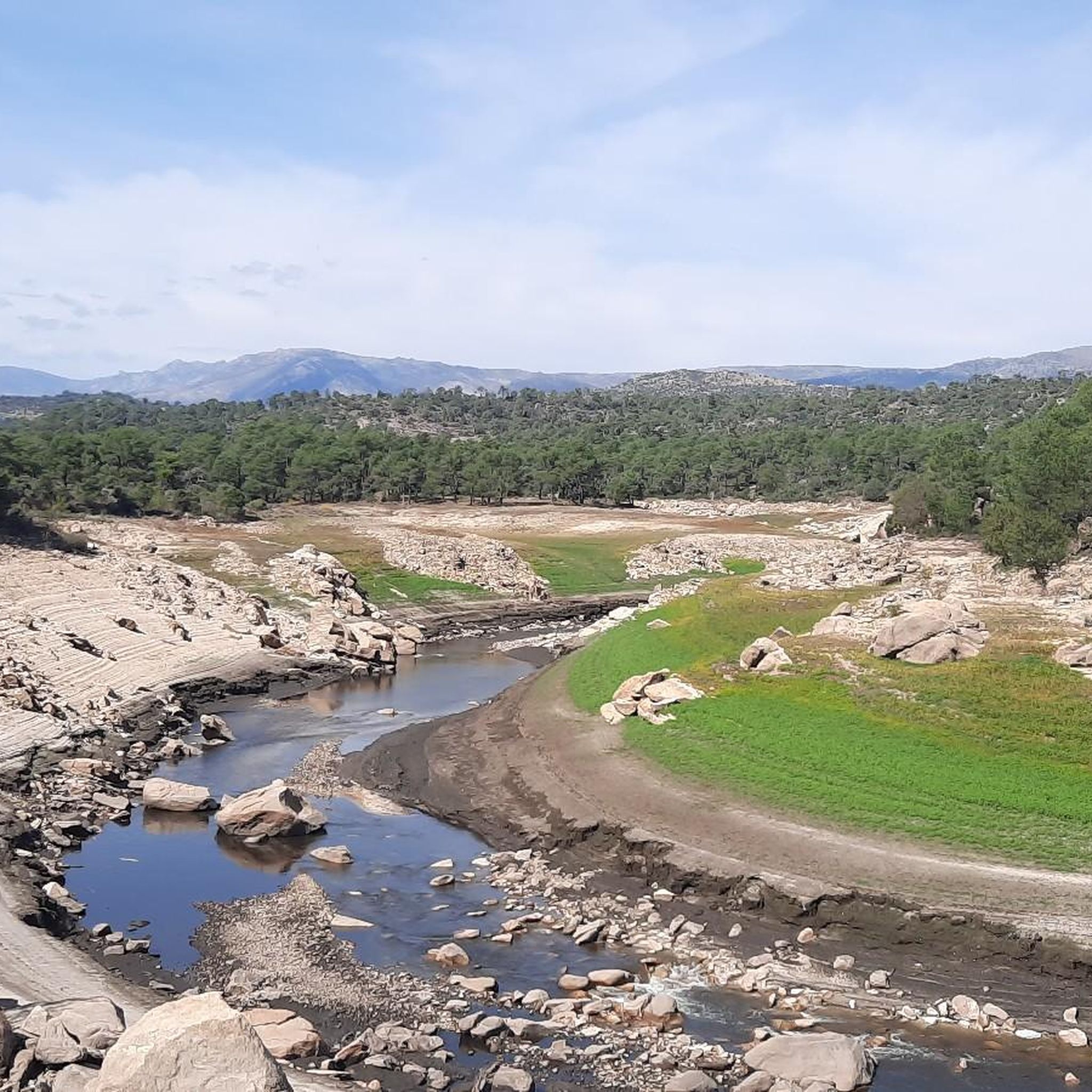
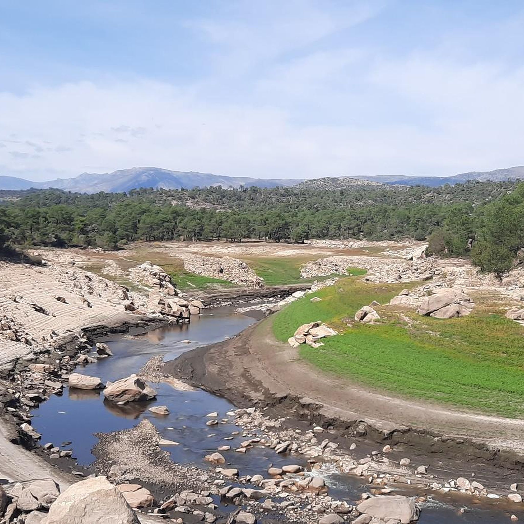
The Collado de la Honda is the final part of an old glacier that ends at this point. The glacier is the result of ancient times when the glacial movements were more southern and this is an example of how in this area of the middle of the Meseta there were.
1
0
The Serrota is a mountain that reaches 2,292 meters in height, which means that you need to watch the time of its ascent, where the snow covers the area completely with low temperatures.
1
0
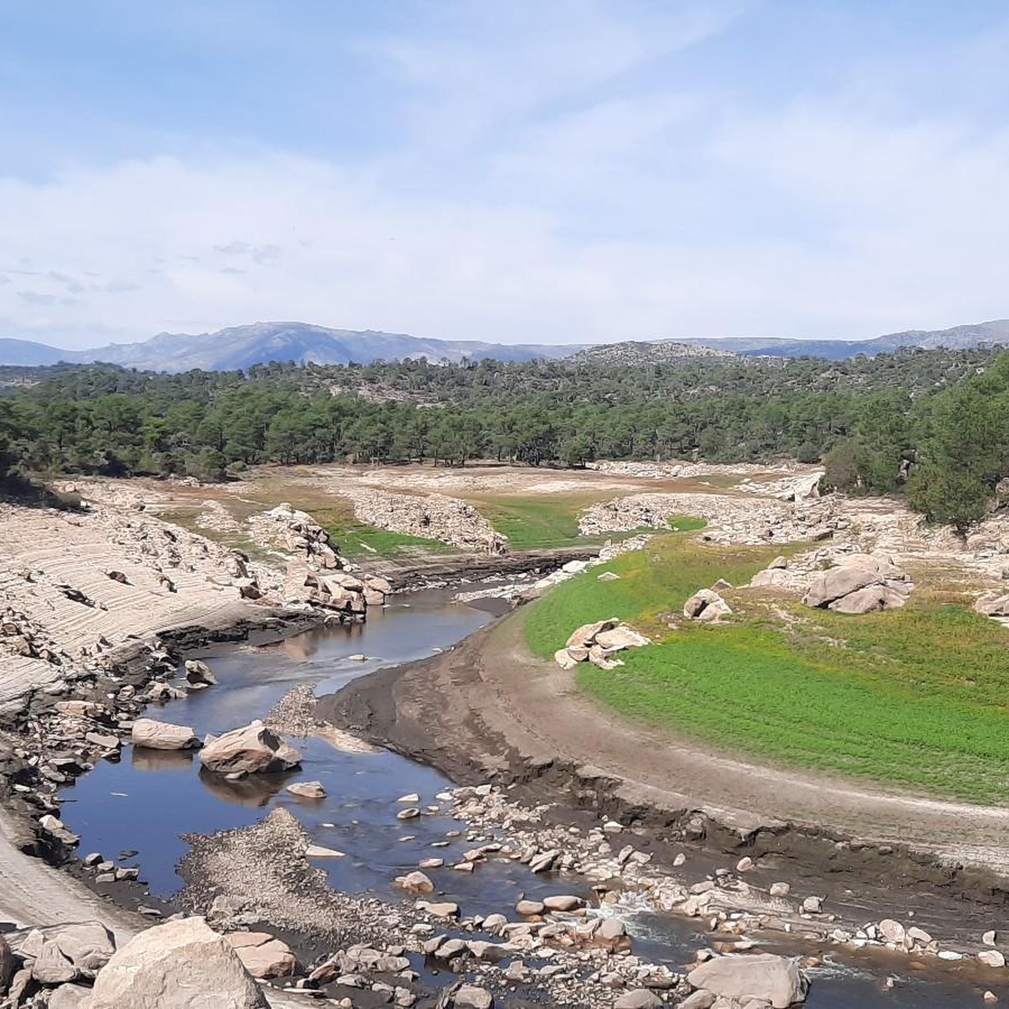
The Río de la Garaganta descends through this valley that has formed over the years and that lets us see how the Sierra de Panamera peaks rise behind us.
1
0

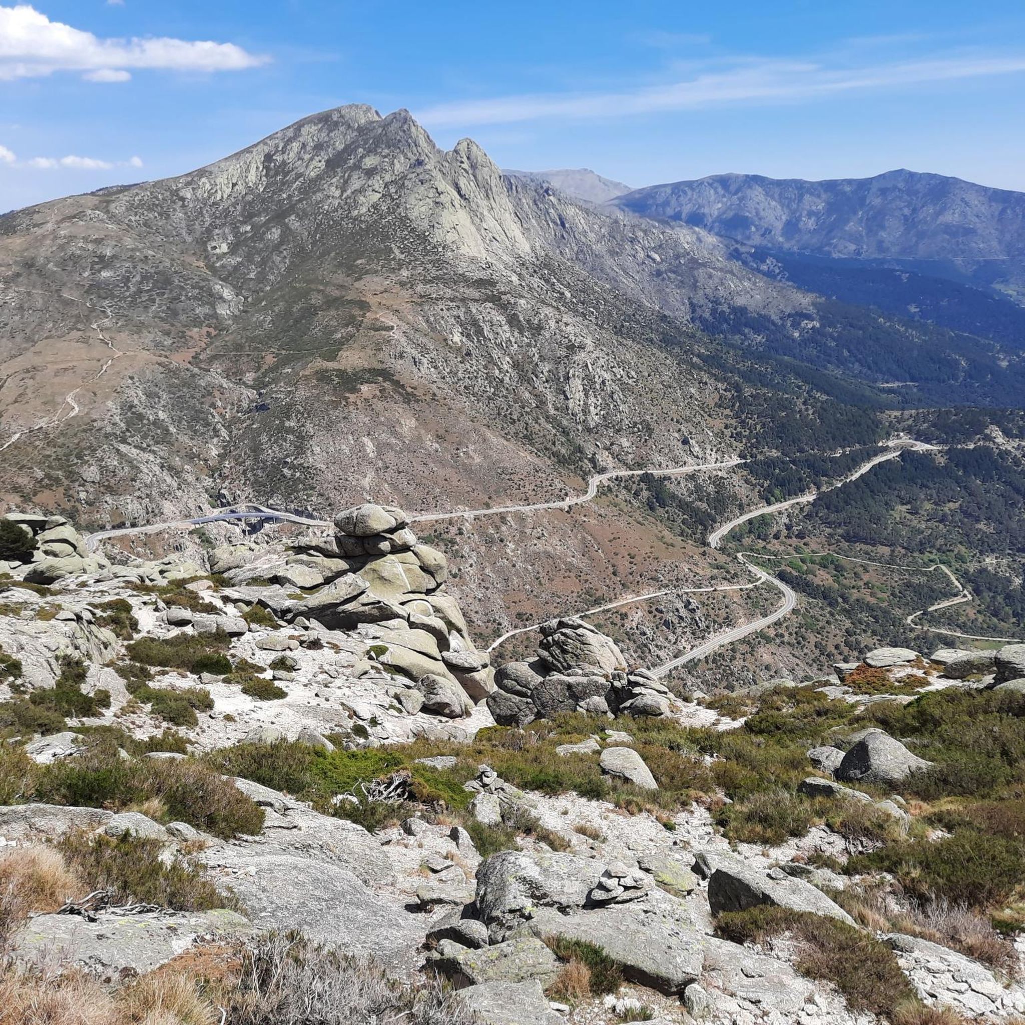
In the final stretch of the ascent, milestones appear in several places and the best option is to find the optimal path according to the moment, the mountain conditions and personal taste. The geodesic vertex is visible long before you arrive, it is placed on a tower of rocks and the views are extraordinary, practically covering the entire Central System, from the Sierra de Guadarrama to the peaks of Las Batuecas and the distant Sierra de Gata. Below the channels that form the sources of Corneja and Adaja and a little further on is the valley of the highest Alberche, when it is not yet a river in the páramos of San Martín de la Vega del Alberche.
0
0
The path runs along the slopes of the mountain range and descends to the spectacular pass of Portacho del Cuchillo, below the impressive mass of spurs, towers and channels of Peña Cabrera. At the pass you have to pass the gate of a livestock lane and go to the south slope. The path begins the descent directly through the head of the Cuchillo Ravine, passing at the foot of the striking Risco del Cuchillo boat, one of the most unique geological formations in the Zapatero massif.
1
0
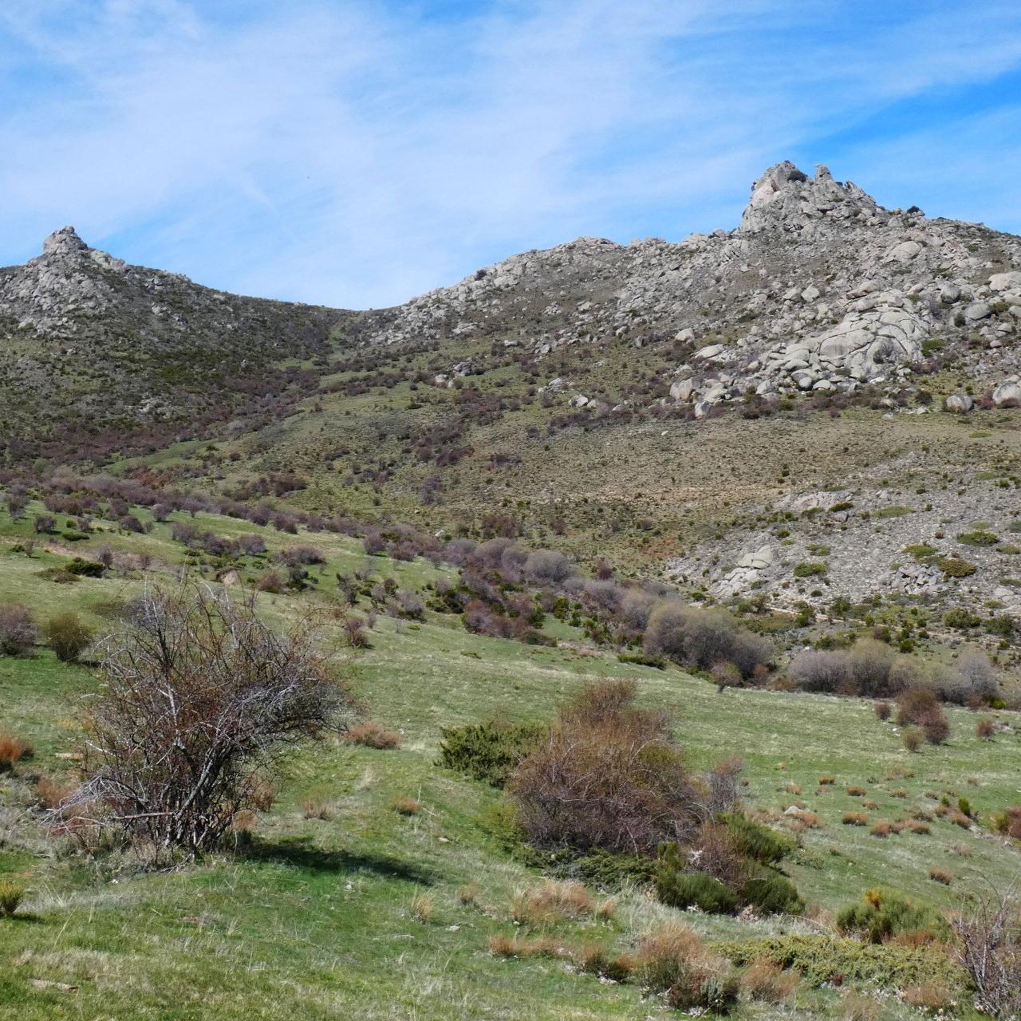
The unique granite landscape is the result of the mineral composition, climatic changes and the weathering of the rock surfaces, giving rise to suggestive modeling forms. The most striking process is the slabs, the boats, the corridors and alleys and the granular disintegration, creating an authentic labyrinth of stone sculptures. To the west, at the headwaters of the Adaja River, the white reliefs of La Serrota emerge. The path follows the ridge and collides with the top pyramid of Zapatero in a clear hill where the ascent to the top begins on the southwest face. The ascent is marked with stone milestones. The ice and the amount of snow will determine the technical level of the ascent. First there is a rocky step to a wide and comfortable shoulder, where the final attack begins through a channel that leads to the access passage to the geodesic vertex through a kind of tunnel. The views from the top of the remaining section of the rope are breathtaking between large granite domes and giant speedboats, but it is actually easier than the previous section and almost all descent. The descent of the peak is along the east face, to a pass where the Path of Zapatero climbs from the left from Sotalvo.
2
0

patient the climb
1
0
Frequently Asked Questions
What unique geological features can I expect to see around Sotalbo?
The region around Sotalbo is renowned for its distinctive granite landscapes. For instance, Pico Zapatero features sculpted forms like slabs, 'boats,' corridors, and alleys, creating an intricate labyrinth of stone sculptures. Similarly, Portacho del Cuchillo is notable for the striking Risco del Cuchillo boat, one of the most unique geological formations in the Zapatero massif.
Are there challenging hikes among the natural monuments near Sotalbo?
Yes, several natural monuments offer challenging hiking experiences. Both Pico Zapatero and Serrota are categorized as challenging summits, requiring careful consideration of weather and snow conditions, especially during colder months. Portacho del Cuchillo also involves challenging terrain.
What kind of panoramic views can I find from these natural monuments?
Many natural monuments around Sotalbo offer extraordinary panoramic views. From the pyramid-shaped summit of Pico Zapatero, you can see the Sierra de Gredos and La Serrota. The geodesic vertex of Serrota provides views across the entire Central System, from the Sierra de Guadarrama to the peaks of Las Batuecas. Alto Cuesta del Chicho also offers great viewpoints.
What outdoor activities are available near Sotalbo's natural monuments?
The region around Sotalbo is excellent for various outdoor activities. You can find numerous trails for mountain biking, road cycling, and running. For specific routes and their difficulties, you can explore the MTB Trails around Sotalbo, Road Cycling Routes around Sotalbo, and Running Trails around Sotalbo guides.
What is the best time to visit the natural monuments around Sotalbo?
The best time to visit largely depends on your planned activities. For high-altitude summits like Serrota, it's important to watch the time of ascent, as snow can cover the area completely with low temperatures. Generally, spring and autumn offer pleasant weather for hiking and exploring, while summer is ideal for enjoying the natural swimming pools in the broader Ávila province.
Are there any natural monuments suitable for intermediate hikers?
Yes, for those seeking an intermediate challenge, Alto Cuesta del Chicho (Sierra de la Paramera) and Collado de la Honda are excellent choices. These mountain passes offer rewarding experiences without the extreme difficulty of some of the higher peaks.
What makes Pico Zapatero a particularly notable natural monument?
Pico Zapatero is notable for its unique granite landscape, which has been sculpted by mineral composition, climatic changes, and weathering into suggestive forms like slabs, 'boats,' corridors, and an authentic labyrinth of stone sculptures. The path to its pyramid-shaped summit offers impressive views and a distinctive geological display.
What is the significance of Collado de la Honda?
Collado de la Honda is significant as it represents the final part of an old glacier. It serves as an example of ancient glacial movements that extended further south into this area of the Meseta, offering a glimpse into the region's geological past.
Are there other significant natural sites in the broader province of Ávila worth exploring?
Beyond Sotalbo, the broader province of Ávila offers several other significant natural sites. These include the extensive natural scenery of the Parque Regional de la Sierra de Gredos, the refreshing Piscinas Naturales de Navaluenga for warmer months, and the fascinating geological formations within the Cuevas del Águila.
What can I expect when visiting Serrota?
Serrota is a mountain reaching 2,292 meters in height, offering extraordinary views across the Central System. Visitors should be prepared for potentially low temperatures and snow, especially in the final stretch of the ascent. The geodesic vertex, located on a tower of rocks, provides breathtaking vistas.
What is Portacho del Cuchillo known for?
Portacho del Cuchillo is known for its dramatic setting below the impressive Peña Cabrera and features the striking Risco del Cuchillo boat. This unique geological formation is considered one of the most distinctive in the Zapatero massif, making it a memorable stop for those exploring the area.
Are there any family-friendly natural monuments or trails around Sotalbo?
While specific 'family-friendly' designations are not explicitly listed for all monuments, the Valle Amblés, where Sotalbo is situated, offers a serene backdrop with gentle landscapes suitable for walks. When planning, consider the difficulty ratings of trails; some of the less challenging routes or sections of the mountain ranges like Sierras de la Paramera y Serrota might be more suitable for families.
Most popular attractions around Sotalbo

Get inspired with the komoot mobile app


Explore more
Extend your search for the best caves by checking out these guides of the top ones around Sotalbo:
