Top 8 Mountain Passes around Samartín Del Rei Aurelio
Best mountain passes around Samartín Del Rei Aurelio are situated in the central part of Asturias, within the Cantabrian Mountains. This region features mountainous terrain, traversed by the Nalón River, and borders protected areas like the Protected Landscapes of the Mining Basins. It offers various routes popular for outdoor activities such as hiking and cycling. The area provides opportunities to explore natural landscapes and historical mining heritage.
Best mountain passes around Samartín Del Rei Aurelio
- The most popular mountain passes is Alto de La Colladiella, a mountain pass that features very little traffic and a good firm ground. It is known for its quiet roads and challenging climbs.
- Another must-see spot is Les Praeres – Sierra de Peñamayor, a challenging summit and mountain pass. Visitors can experience a significant climb with a drop of 490 m over 3.8 km, and find a bar with impressive views at the top.
- Visitors also love Coto Bello Viewpoint, a viewpoint offering beautiful views of the Cantabrian Mountains on clear days. It provides panoramic views of the mountainous landscape where cows and horses can often be seen grazing.
- Samartín Del Rei Aurelio is known for challenging climbs, scenic viewpoints, and routes suitable for cycling or hiking. The region offers a variety of mountain passes to see and explore, including those with significant elevation gains and quiet roads.
- The mountain passes around Samartín Del Rei Aurelio are appreciated by the komoot community, with more than 10 upvotes and 4 photos contributed by users.
Last updated: August 25, 2026
Alto de Santo Emiliano
Highlight • Mountain Pass
Climb Features
• The summit is located at an altitude of approximately 515-519 meters, depending on the slope.
• There are two main slopes:
• From Langreo (Sama):
• Length: 5.2 to 5.4 km
• Elevation gain: ~309 m
• Average gradient: 5.7%
• Maximum gradient: ~7% (no double-digit ramps)
• Road in good condition with a fairly constant gradient.
• From Mieres (via Rioturbio):
• Length: 7.1 to 7.5 km
• Elevation: ~291-314 m
• Average gradient: 3.9%-4.4%
• Initially, a gentle 2-3% section, then a 3.5 km stretch at 5-7% with occasional ramps at 8-9%
Translated by Google •
Tip by

Les Praeres – Sierra de Peñamayor
Highlight • Summit
From this point we can continue along the dirt road until we reach the sign.
Translated by Google •
Tip by

Sign up now to discover places like this
Get recommendations on the best single tracks, peaks, & plenty of other exciting outdoor places.
Sign up for free
Alto de La Colladiella
Highlight • Mountain Pass
Translated by Google •
Tip by

Coto Bello Viewpoint
Highlight • Viewpoint
Translated by Google •
Tip by

Collada de Pelúgano
Highlight • Mountain Pass
Translated by Google •
Tip by

Sign up for free to discover even more mountain passes around Samartín Del Rei Aurelio.
Sign up for free
Already have an account?
Start today with a free account
Your next adventure awaits.
Login or Signup
Popular around Samartín Del Rei Aurelio
Central Mountain Cycling Ring GR 208 - Tour of the Asturian Mountains
Road Cycling Routes around Samartín Del Rei Aurelio
Running Trails around Samartín Del Rei Aurelio
MTB Trails around Samartín Del Rei Aurelio
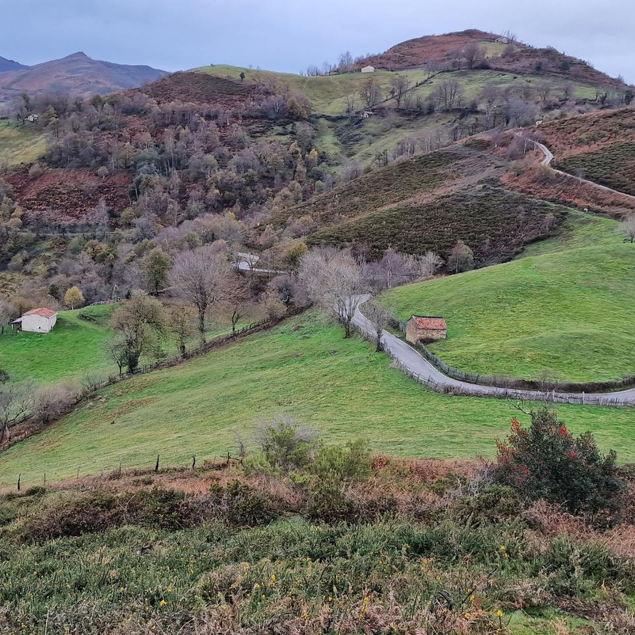
Cycling around Samartín Del Rei Aurelio
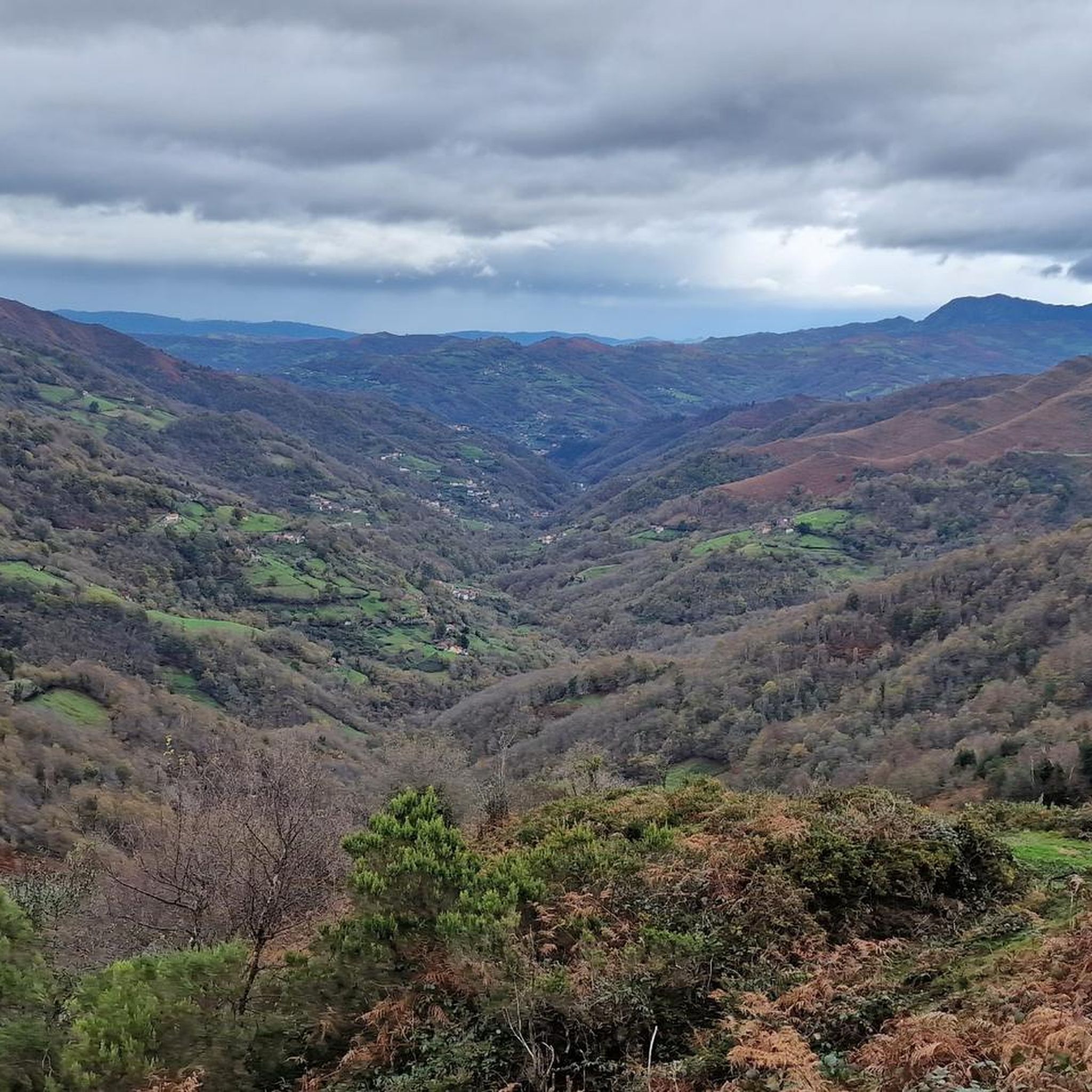
Hiking around Samartín Del Rei Aurelio
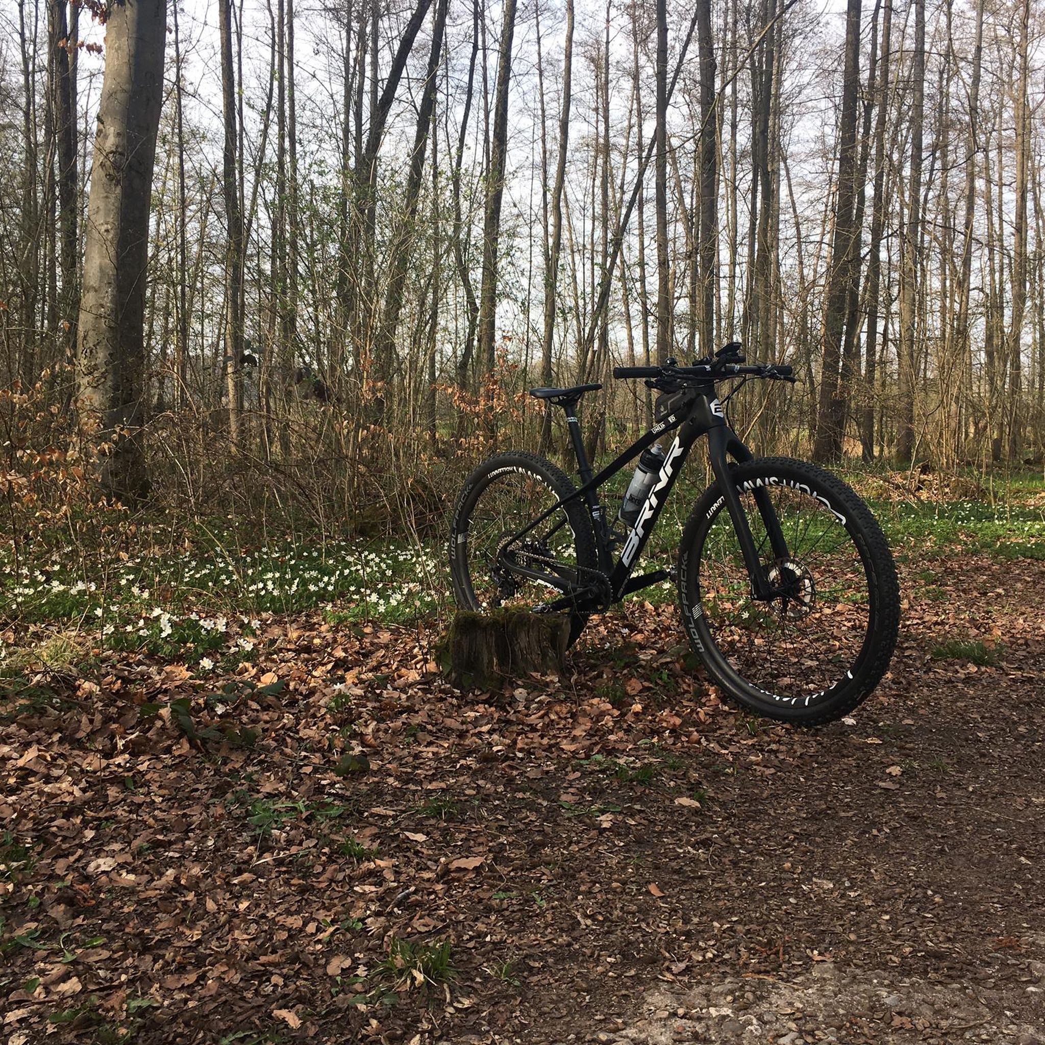
Gravel biking around Samartín Del Rei Aurelio
Other adventures around Samartín Del Rei Aurelio

Tips from the Community

Beautiful hike up from Pelluno. Even if you go up to Peña Mea/Ojo de Buey, I would include the Collada de Pelúgano.
0
0

The Les Praeres pass, meaning "meadows" in Spanish, is a beautiful crossing point for the surrounding peaks. There's also a bar and restaurant with a mountain atmosphere. As if that weren't enough, there's a deer, rescued as a puppy by the bar's owner, who freely roams the area like a pet.
0
0


The Alto de Santo Emiliano is a classic Asturian cycling pass, located between the municipalities of Mieres and Langreo, connecting the Nalón and Caudal basins in an area with a long mining and cycling tradition. Climb Features • The summit is located at an altitude of approximately 515-519 meters, depending on the slope. • There are two main slopes: • From Langreo (Sama): • Length: 5.2 to 5.4 km • Elevation gain: ~309 m • Average gradient: 5.7% • Maximum gradient: ~7% (no double-digit ramps) • Road in good condition with a fairly constant gradient. • From Mieres (via Rioturbio): • Length: 7.1 to 7.5 km • Elevation: ~291-314 m • Average gradient: 3.9%-4.4% • Initially, a gentle 2-3% section, then a 3.5 km stretch at 5-7% with occasional ramps at 8-9%
0
0

Beautiful place, with impressive views and a bar where you can have a drink or something to eat.
0
0

Known as the "wall" of Preares, this climb that gives access to the Sierra de Peñamayor awaits us with a drop of 490 m, a length of 3.8 km, an average slope of 12.89% to crown a altitude of 740 m. From this point we can continue along the dirt road until we reach the sign.
1
0
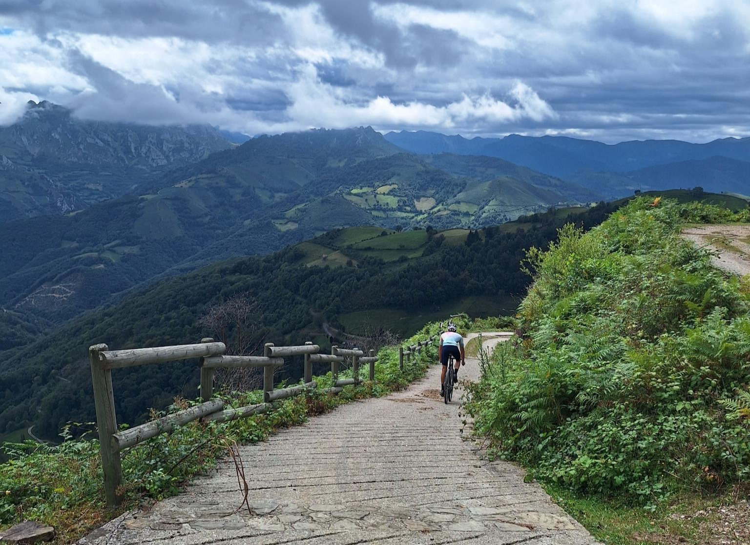
The top of La Colladiella is a pass with very little traffic and a good firm ground. On these lost roads you can enjoy cycling pleasantly, despite its steep slopes.
3
0

The Coto Bello viewpoint offers beautiful views of the Cantabrian Mountains on clear days. Cows and horses can often be seen grazing peacefully in the surrounding green meadows.
1
0
Frequently Asked Questions
What are some of the most scenic mountain passes in Samartín Del Rei Aurelio?
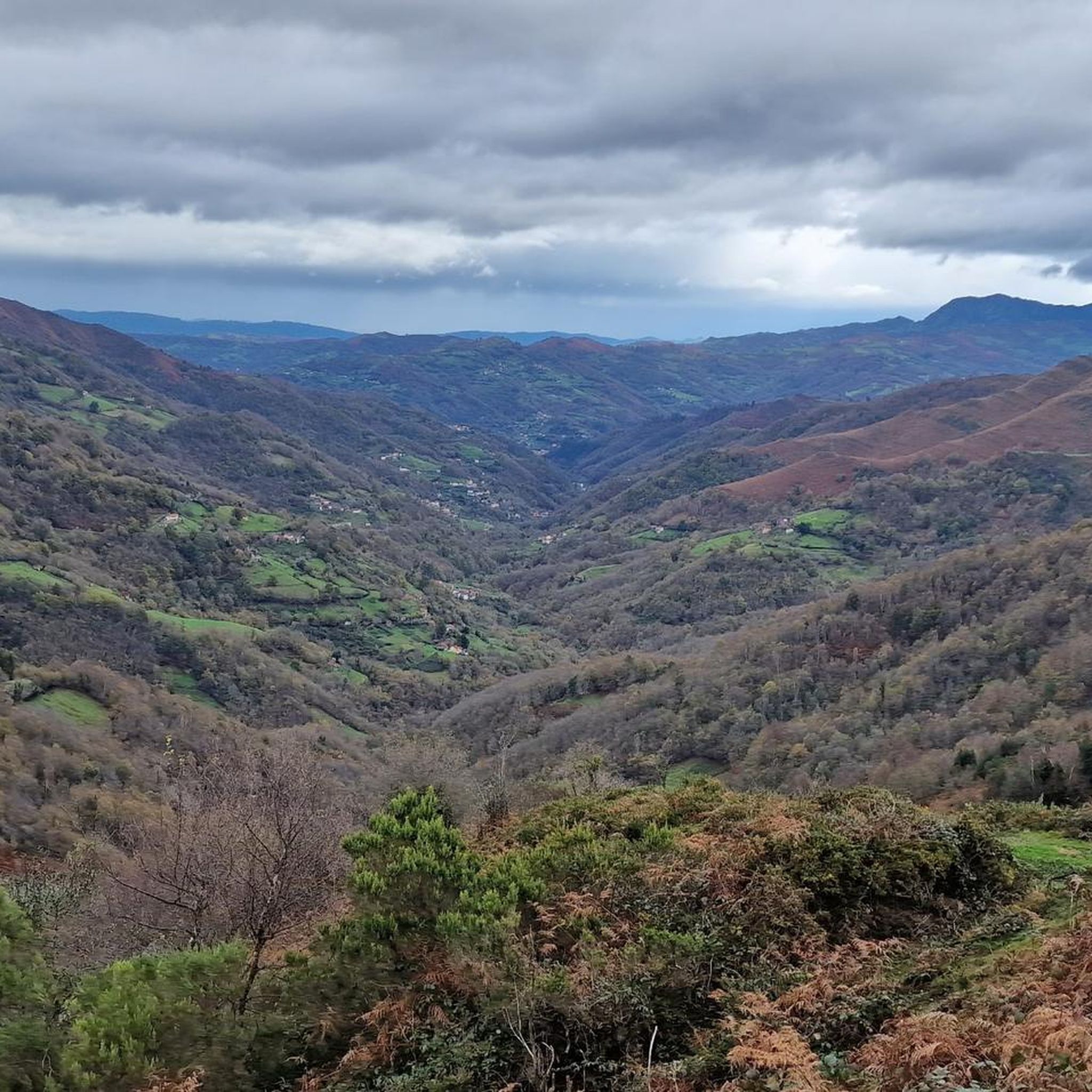
For breathtaking views, consider visiting Coto Bello Viewpoint, which offers panoramic vistas of the Cantabrian Mountains. Another excellent choice is Collada de Pelúgano, located at 1,017 meters, providing beautiful views of the limestone mountain range and green slopes.
Are there challenging mountain passes for experienced cyclists or hikers?
Yes, for a significant challenge, Les Praeres – Sierra de Peñamayor is known as the 'wall' of Preares, featuring a challenging climb with a 490-meter drop over 3.8 km. The route La Bovia-La Colladiella, connecting the valleys of Sanamiés and Santa Bárbara, is also considered to have a high difficulty level.
Which mountain passes are suitable for cycling with less traffic?
Alto de La Colladiella is an excellent option, known for its very little traffic and good firm ground, allowing for pleasant cycling despite its steep slopes. It's a favorite among those seeking quiet roads.
What kind of natural features can I expect to see around the mountain passes?
The region is characterized by mountainous terrain, traversed by the Nalón River, and borders protected areas like the Protected Landscapes of the Mining Basins. You'll encounter lush green meadows where cows and horses often graze, especially around viewpoints like Coto Bello Viewpoint, and panoramic views of limestone mountains and forested slopes at passes like Collada de Pelúgano.
Are there any mountain passes with historical significance or unique local character?
Alto de Santo Emiliano is a classic Asturian cycling pass situated in an area with a long mining and cycling tradition, connecting the Nalón and Caudal basins. The broader region's history is deeply intertwined with coal mining, adding a unique character to many routes.
What outdoor activities can I do near these mountain passes?
The area is popular for various outdoor activities. You can find numerous routes for road cycling, gravel biking, and general cycling. For example, explore the Road Cycling Routes around Samartín Del Rei Aurelio or discover the Gravel biking around Samartín Del Rei Aurelio. The El Anillo del Rey Aurelio is also a significant long-distance circuit designed for mountain biking and trekking.
Are there family-friendly options among the mountain passes?
While many passes involve significant climbs, some viewpoints like Coto Bello Viewpoint are considered family-friendly, offering accessible beautiful views where children can enjoy seeing grazing animals. When planning, look for routes with 'family_friendly' tags or shorter, less steep sections.
What is the best time of year to visit the mountain passes in Samartín Del Rei Aurelio?
The best time to visit is generally during the warmer months, from late spring to early autumn (May to October), when the weather is more stable and favorable for outdoor activities like hiking and cycling. During these periods, you'll experience pleasant temperatures and clear views of the mountainous landscape.
Are there places to eat or drink near the mountain passes?
Yes, for instance, at the summit of Les Praeres – Sierra de Peñamayor, you can find a bar with impressive views where you can have a drink or something to eat. Some local villages near the passes may also offer small cafes or restaurants.
Can I find circular routes that incorporate mountain passes?
Yes, the region offers circular routes. A notable example is El Anillo del Rey Aurelio (King Aurelio's Ring), a 50-kilometer long-distance mountain circuit designed for mountain biking and trekking. This route utilizes forest tracks, paths, and local roads, tracing the perimeter of the municipality and offering a chance to experience rural enclaves and mountains.
What are the typical elevation gains for mountain passes in this region?
Elevation gains vary significantly depending on the pass and the starting point. For example, the climb to Les Praeres – Sierra de Peñamayor involves a drop of 490 meters over 3.8 km. The Langreo slope of Alto de Santo Emiliano has an elevation gain of approximately 309 meters over 5.2-5.4 km.
Are there any passes that offer a good mix of hiking and cycling opportunities?
Alto La Vara-El Sutu is an 11-kilometer route that links the municipalities of Laviana and Samartín del Rei Aurelio and is suitable for both hiking and cycling. The El Anillo del Rey Aurelio circuit is also designed for both mountain biking and trekking enthusiasts.
Most popular routes around Samartín Del Rei Aurelio
Most popular attractions around Samartín Del Rei Aurelio

Get inspired with the komoot mobile app


Explore more
See even more epic mountain passes by checking out these guides around Samartín Del Rei Aurelio:
