Top 5 Mountain Passes around Otos
Best mountain passes around Otos are located in a region of Spain known for its prominent peaks and diverse landscapes, primarily within the provinces of Valencia and Alicante. The area features significant mountain ranges that offer routes for exploration and impressive views. This natural setting provides opportunities for outdoor activities such as cycling and hiking. The terrain includes both high summits and scenic passes, making it a destination for experiencing the natural beauty of the area.
Best mountain passes around Otos
- The most popular mountain passes is Views of Benicadell, a viewpoint that offers spectacular views of the Benicadell mountain and the reservoir. Both sides of the route provide good roads and beautiful vistas.
- Another must-see spot is View of Alt de Benicadell, a summit and mountain pass. This highlight provides excellent views of the impressive Alt de Benicadell, a prominent peak at 1,105 meters, and the surrounding valley with olive terraces.
- Visitors also love Alt de Pinaro, a natural mountain pass in the Serra de Benicadell. This pass connects Salem with Beniarres and offers extraordinary views of Pico Benicadell.
- Otos is known for mountain passes, viewpoints, and summits. The region offers a variety of mountain passes to see and explore, catering to different preferences for trails and scenery.
- The mountain passes around Otos are appreciated by the komoot community, with 12 upvotes and 8 photos shared by users.
Last updated: July 1, 2026
View of Alt de Benicadell
Highlight • Summit
Translated by Google •
Tip by

Port de Salem and Beniarrés
Highlight • Mountain Pass
Translated by Google •
Tip by

Sign up now to discover places like this
Get recommendations on the best single tracks, peaks, & plenty of other exciting outdoor places.
Sign up for free
Views of Benicadell
Highlight • Viewpoint
Translated by Google •
Tip by
Alt de Pinaro
Highlight • Mountain Pass
The views of Pico Benicadell from this point are extraordinary.
Translated by Google •
Tip by

Puerto de l'Olleria
Highlight (Segment) • Mountain Pass
Translated by Google •
Tip by

Start today with a free account
Your next adventure awaits.
Login or Signup
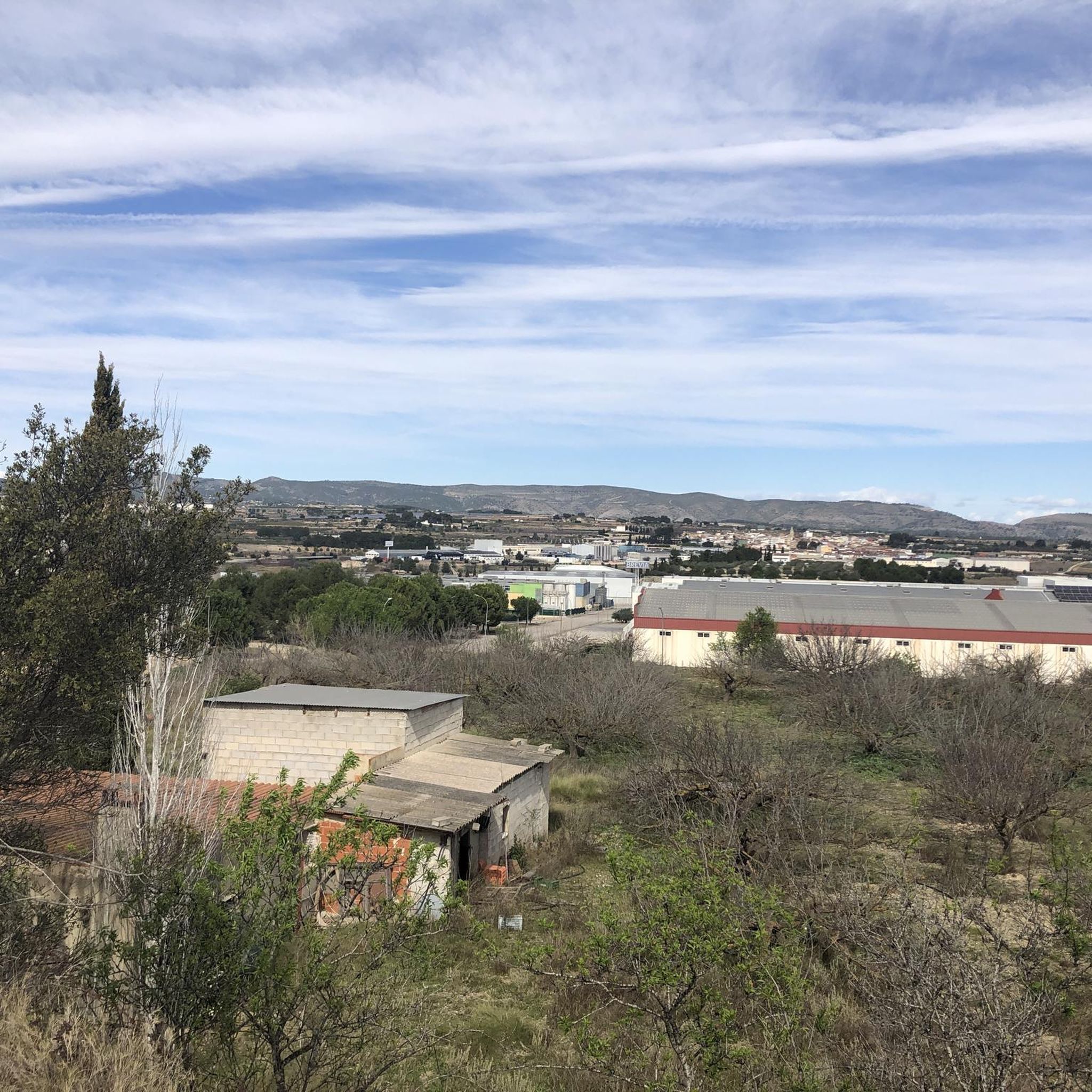
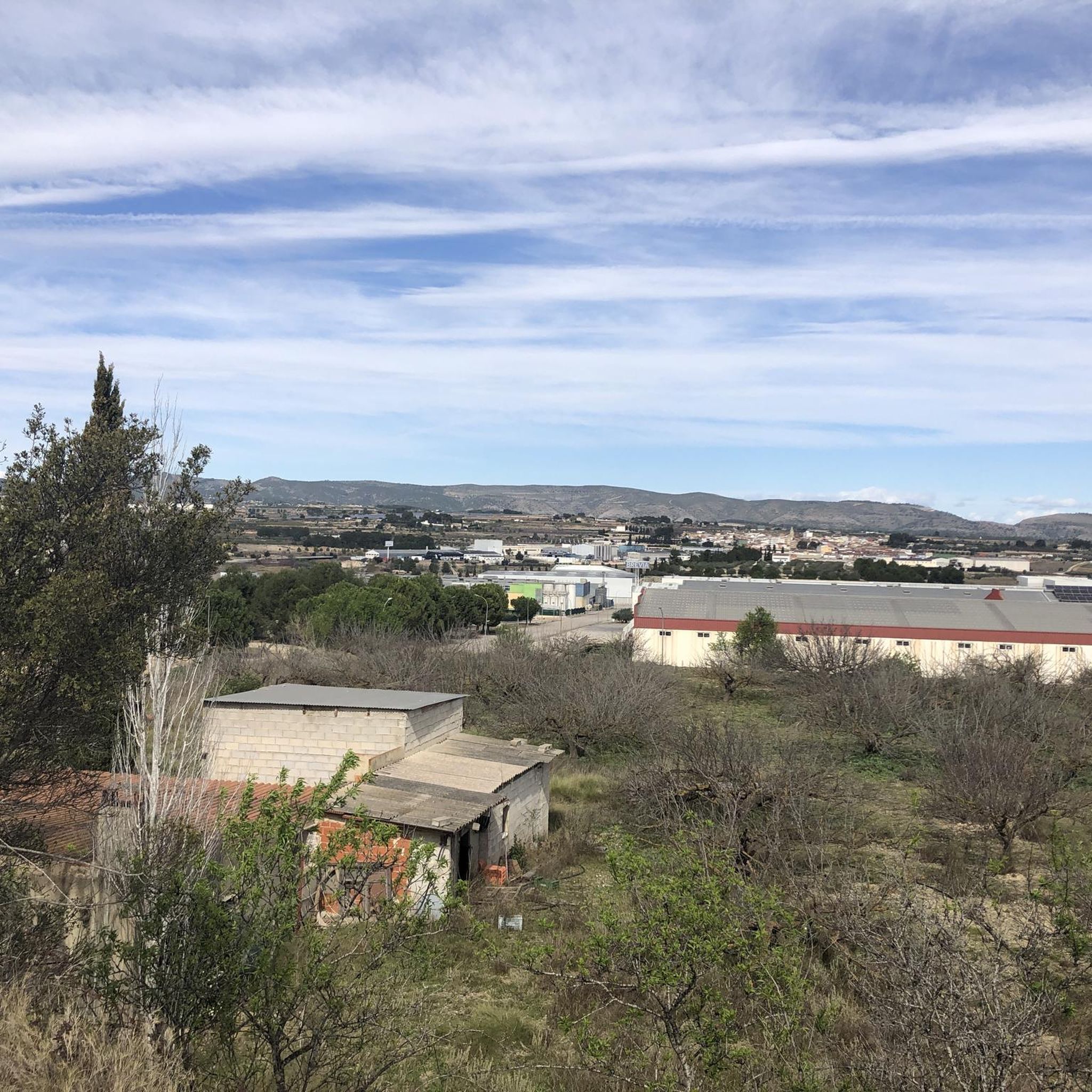
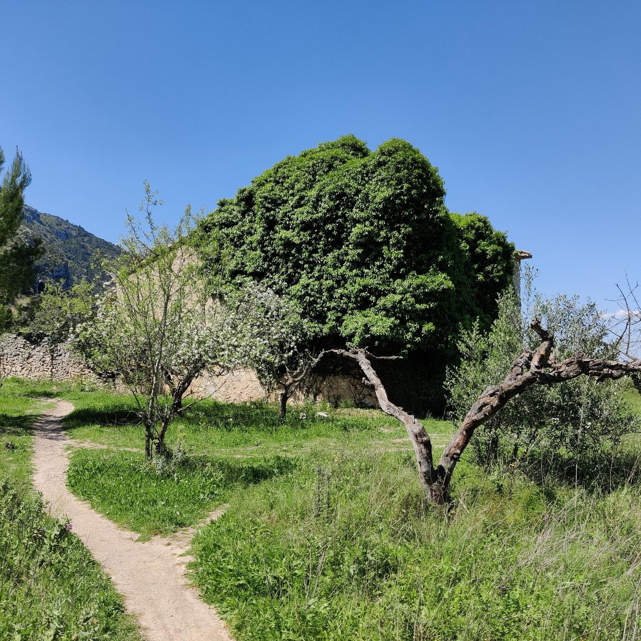

Tips from the Community


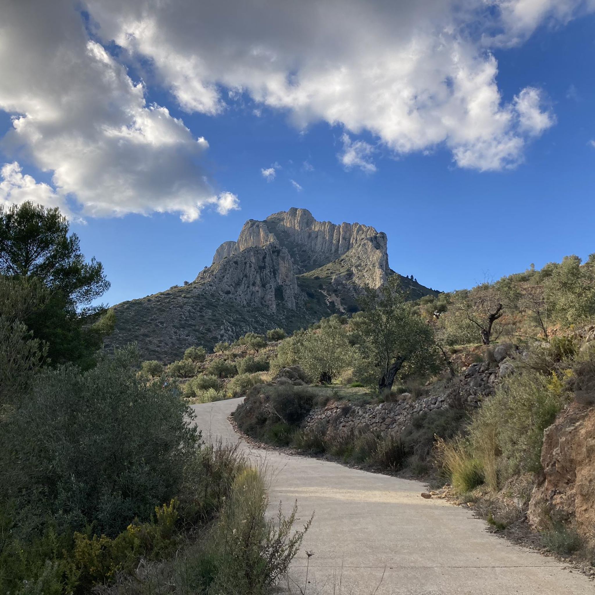
There are several points along this route from which you can admire the impressive silhouette of the Benicadell massif. The Alt de Benicadell, with a height of 1,105 metres, is a prominent peak in the Sierra de Benicadell, which forms a natural border between the provinces of Valencia and Alicante. The region around the Benicadell offers numerous opportunities for cycling tours that lead through varied landscapes with impressive views.
5
0

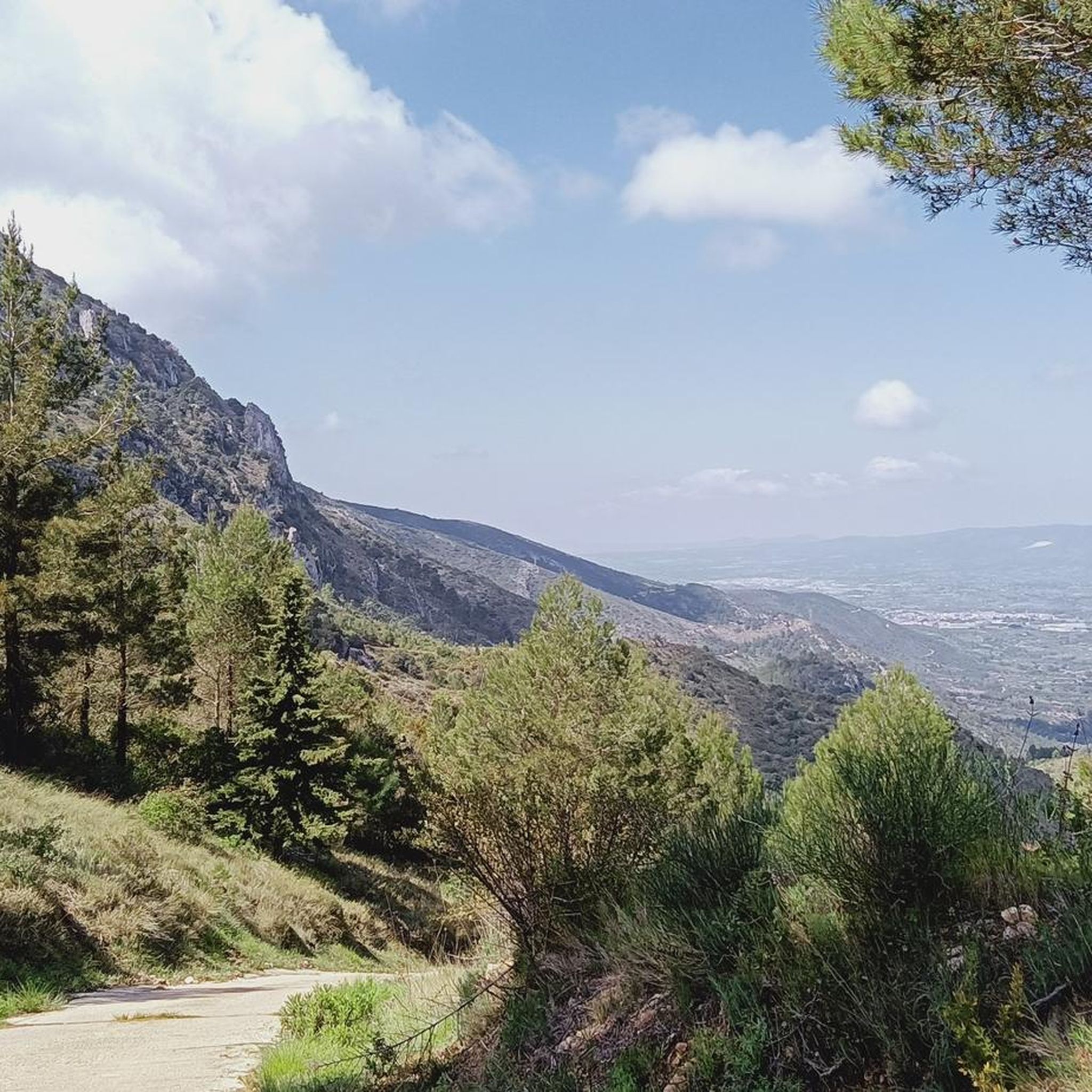
Natural pass in the Serra de Benicadell that connects Salem with Beniarres. It could also be done by road, through the Coll del Raconet or also called Puerto de Salem. The views of Pico Benicadell from this point are extraordinary.
0
0
Place from which you have the most spectacular views of this incredible mountain.
1
0

The Benicadell accompanies the cyclist during the ascent and descent of the mountain pass between Castelló de Rugat and Beniarrés.
2
0

Entertaining road to the road port of Beniarrés connecting the provinces of Valencia and Alicante. Without too much physical demand, it is very pleasant to roll along the road until you reach its top.
0
0
Very nice views of both Benicadell and the reservoir. Both on one side and the other you can ride on good roads and appreciate beautiful views
3
0

The port goes through a forest and is closed for cars. The asphalt is quite old and not maintained but passable. There are some very hard but short ramps.
0
0
Frequently Asked Questions
What are the most prominent mountain passes and viewpoints around Otos?
The Otos region, situated between Valencia and Alicante, features several notable mountain passes and viewpoints. Among them, Views of Benicadell offers spectacular vistas of the Benicadell mountain and its reservoir. Another significant spot is View of Alt de Benicadell, a summit and pass providing excellent views of the 1,105-meter peak and surrounding olive terraces. Additionally, Alt de Pinaro is a natural pass in the Serra de Benicadell, connecting Salem with Beniarres, known for its extraordinary views of Pico Benicadell.
What kind of views can I expect from the mountain passes in the Otos region?
Visitors to the mountain passes around Otos can expect diverse and impressive scenery. From highlights like Views of Benicadell, you'll see panoramic views of the Benicadell mountain and a reservoir. The area around View of Alt de Benicadell offers expansive views of the prominent Alt de Benicadell peak and valleys filled with olive terraces. The Alt de Pinaro pass also provides extraordinary views of Pico Benicadell, showcasing the unique calcareous rocky ridge of the Sierra de Benicadell.
Are there opportunities for cycling near the mountain passes around Otos?
Yes, the region around Otos is popular for cycling, offering diverse landscapes and impressive scenery. The Benicadell mountain, for instance, accompanies cyclists during their ascent and descent of the mountain pass between Castelló de Rugat and Beniarrés. You can find various cycling routes, including those for touring bicycles, gravel biking, and mountain biking. For more details on routes, explore the Cycling around Otos, Gravel biking around Otos, and MTB Trails around Otos guides.
What hiking trails are available near the mountain passes in Otos?
While the guide focuses on mountain passes, the region offers numerous opportunities for hiking. Peaks like Pico Teix (1,265 meters) are accessible via paths of varying difficulty, including the well-maintained forest path of l'Ombria. The Sierra de Benicadell, where many of these passes are located, is ideal for exploring on foot. For specific routes, you can check guides related to outdoor activities in the broader Otos area.
What is the difficulty level of the mountain passes and trails in the Otos area?
The mountain passes and associated trails around Otos generally range from intermediate difficulty. For example, View of Alt de Benicadell, Views of Benicadell, Alt de Pinaro, and Puerto de l'Olleria are all categorized as intermediate. Some routes, particularly for cycling, can be classified as difficult, featuring challenging ascents and descents. It's advisable to check individual route details for specific difficulty ratings.
Are there any family-friendly options among the mountain passes or nearby trails?
While specific family-friendly designations for the passes themselves are not detailed, the region offers various paths of varying difficulty. For instance, the forest path of l'Ombria leading to Pico Teix is reportedly in excellent condition, which might be suitable for families depending on their experience. When planning a family outing, consider shorter, less strenuous sections of trails or explore the broader area for designated family-friendly routes.
What is the best time of year to visit the mountain passes around Otos?
The Otos region, being in Spain, generally offers pleasant conditions for outdoor activities for much of the year. Spring and autumn typically provide mild temperatures, making them ideal for hiking and cycling. Summers can be hot, especially at midday, so early morning or late afternoon visits are recommended. Winters are generally mild, though higher elevations might experience cooler temperatures. Always check the local weather forecast before your visit.
Can I find cafes or pubs near the mountain passes in Otos?
The mountain passes themselves are natural features, so direct amenities like cafes or pubs are unlikely to be found right at the pass. However, the passes often connect to or are near villages and towns in the region, such as Salem, Beniarres, Castelló de Rugat, and Beniarrés. These communities would be the best places to find local cafes, restaurants, and accommodation options.
Is public transport available to reach the mountain passes in the Otos region?
Direct public transport to the exact locations of mountain passes can be limited. The Otos region is primarily accessed by road, and while local buses might serve nearby towns, reaching specific trailheads or passes often requires personal transport. It's recommended to research local bus schedules to the closest towns and plan for additional travel, such as a short drive or taxi, to reach your starting point.
Are there any specific parking facilities for accessing the mountain passes or trails?
Information on specific parking facilities directly at every mountain pass is not extensively detailed. However, when visiting natural areas like the Sierra de Benicadell, you can typically find parking in nearby villages or designated areas at the start of popular trailheads. For example, when exploring the Benicadell area, look for parking options in towns like Salem, Beniarres, or Castelló de Rugat, which serve as access points to the passes.
What makes the Alt de Benicadell area particularly interesting?
The Alt de Benicadell area is particularly interesting due to its prominent peak at 1,105 meters, which forms a natural boundary between the provinces of Valencia and Alicante. It offers remarkable 360-degree views, especially from View of Alt de Benicadell. The surrounding Sierra de Benicadell is popular for cycling and hiking, featuring diverse landscapes, impressive scenery, and unique calcareous rocky ridges. The mountain is a constant companion for cyclists traversing the pass between Castelló de Rugat and Beniarrés.
What is the Puerto de l'Olleria like?
The Puerto de l'Olleria is a mountain pass that winds through a forest. It is closed to cars, making it ideal for cyclists and hikers. While the asphalt is noted as being quite old and not maintained, it is still passable. The pass features some very hard but short ramps, adding a challenge for those seeking it.
Most popular attractions around Otos

Get inspired with the komoot mobile app


Explore more
See even more epic mountain passes by checking out these guides around Otos:
