Top 9 Mountain Passes around Navacarros
Best mountain passes around Navacarros are situated within the Sierra de Béjar, a mountainous region in the province of Salamanca, Spain. This area features high-altitude routes that offer diverse outdoor activities. The landscape includes wide slopes, forests, and rugged high-mountain environments with glacial formations. It provides opportunities for hiking, cycling, and scenic drives.
Best mountain passes around Navacarros
- The most popular mountain passes is Travieso Pass, a mountain pass that features constant slopes over 11 km. This climb is…
Last updated: July 1, 2026
Hell's Pass
Highlight • Climb
Translated by Google •
Tip by

Puerto del Tremedal
Highlight • Mountain Pass
Translated by Google •
Tip by

Sign up now to discover places like this
Get recommendations on the best single tracks, peaks, & plenty of other exciting outdoor places.
Sign up for free
Hoya Moros
Highlight • Natural Monument
Translated by Google •
Tip by

Viewpoint of the Puerto de Tornavacas
Highlight • Viewpoint
Translated by Google •
Tip by

Puerto de Vallejera
Highlight • Mountain Pass
Translated by Google •
Tip by

Sign up for free to discover even more mountain passes around Navacarros.
Sign up for free
Already have an account?
Start today with a free account
Your next adventure awaits.
Login or Signup


Tips from the Community

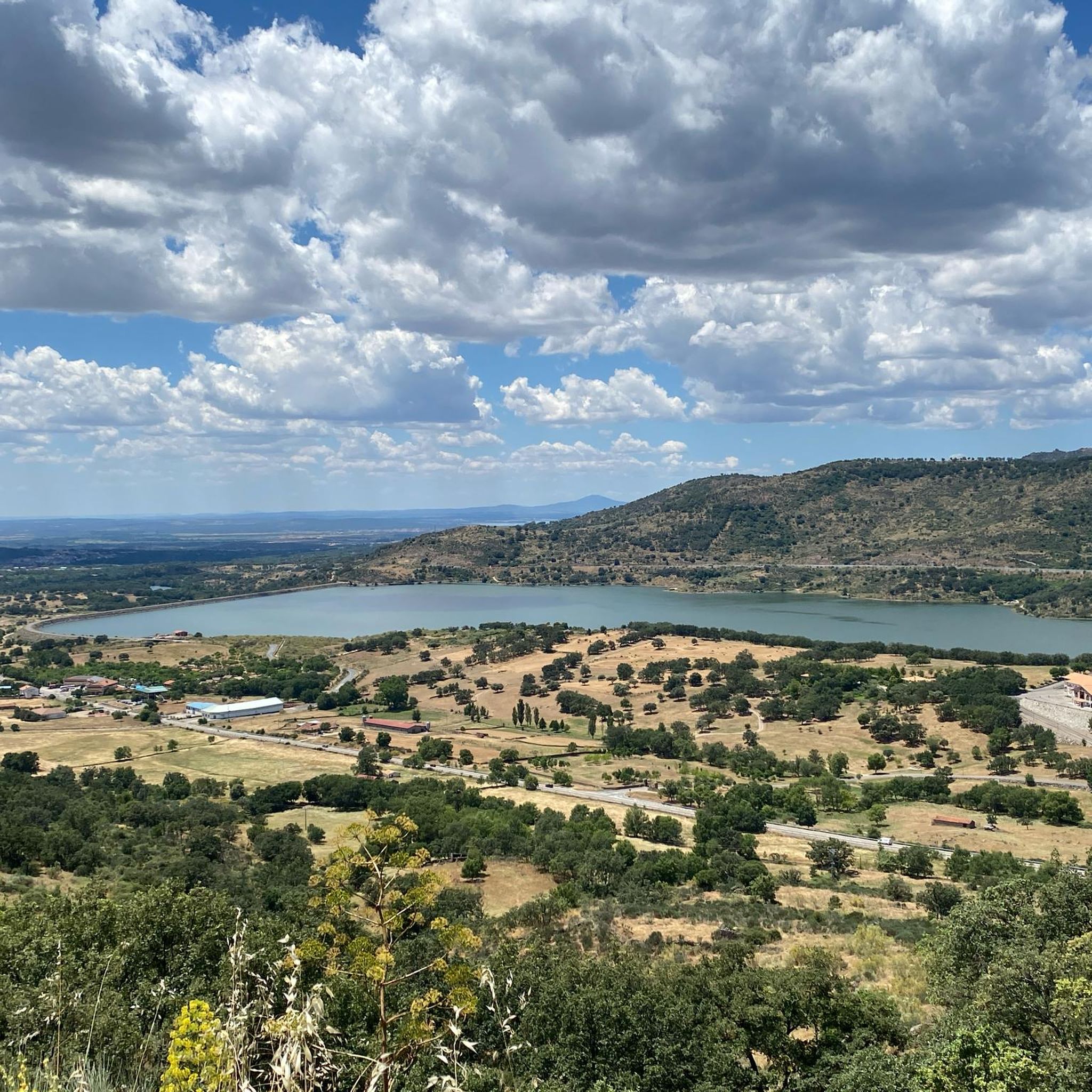
Nice port with a constant and not very steep slope on either side, be careful in winter due to possible ice sheets.
0
0

This is one of the best-known mountain passes in the Sierra de Gredos area and is also important as it separates the two most important basins in the Iberian Peninsula, the Duero and the Tagus.
0
0

At a distance of just 2 km from the Collado de Los Buitres mountain pass, a good area to enjoy nature and breathe fresh air.
7
0
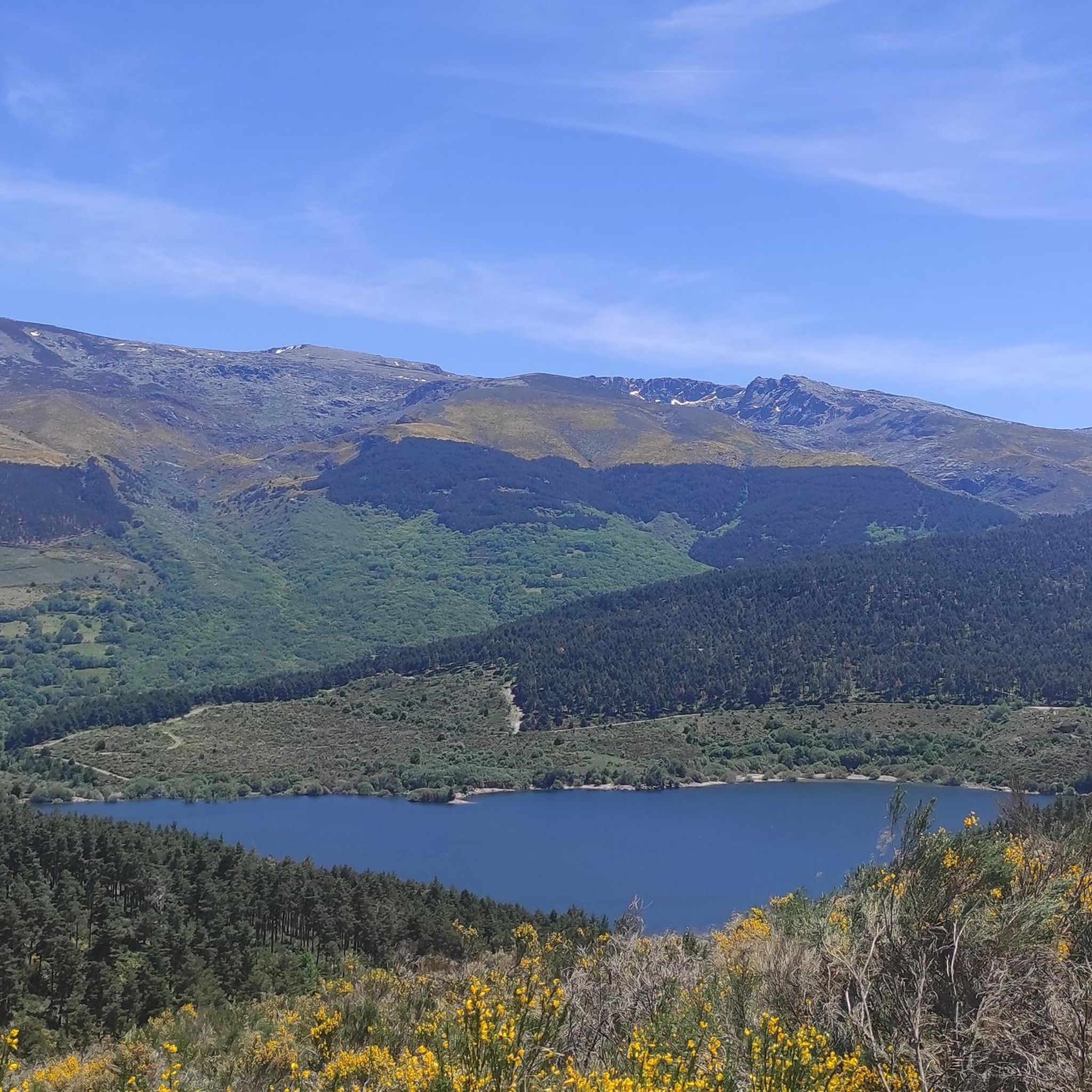
Puerto del Tremedal from El Barco de Ávila is a climb in the Castilla y León region. It has a length of 10.9 kilometers and an ascent of 608 vertical meters with an average gradient of 5.6%, which implies a difficulty level of 420. The top of the ascent is located at 1,640 meters above sea level.
1
0

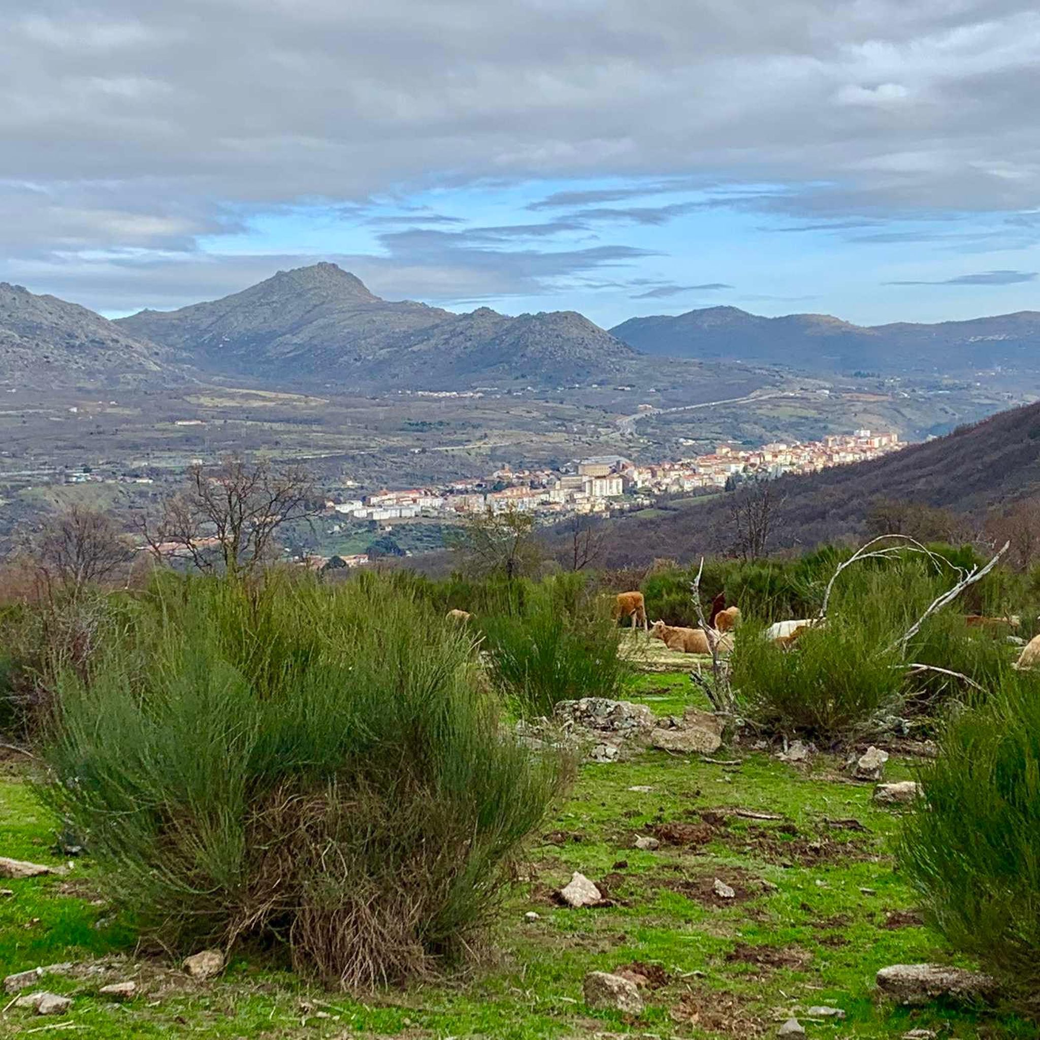
Nice valley in the heart of the Sierra de Candelario with beautiful views. If you are on your way to the top of Torreón from here the journey becomes quite demanding and through technical sectors, go carefully and firmly to enjoy this beautiful place!
2
0
Located at 1,275 meters above sea level, it is recognized as a historic mountain pass in the Sierra de Gredos and represents the physical division point of the Duero and Tagus basins. This site has been the passage of several civilizations. over the centuries and represents a site of great historical importance for the area.
1
1

A chain and some steps help his step.
2
0

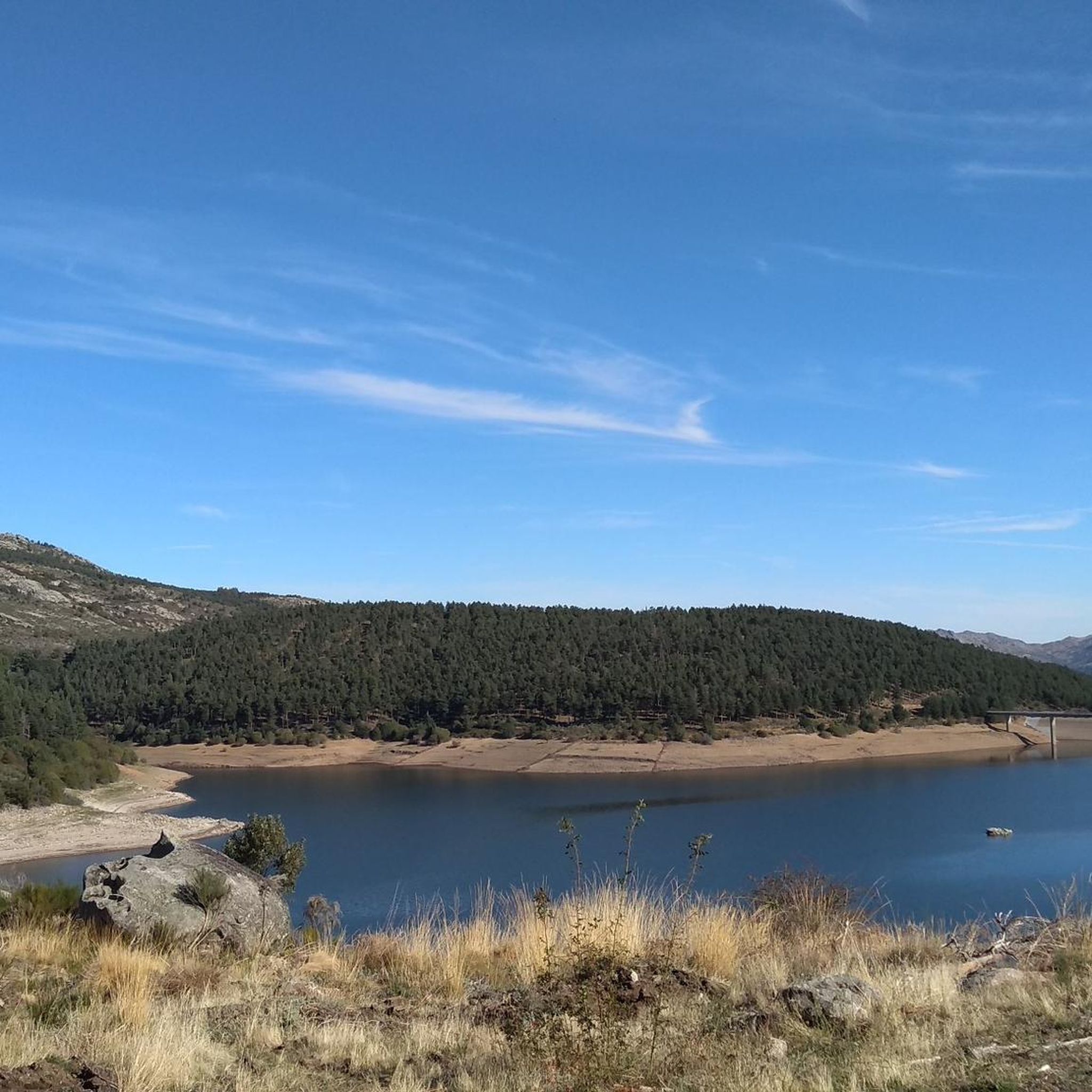
The port of Tornavacas is a historic pass in the Sierra de Gredos, it is located at an altitude of 1,274 m and divides the Duero and Tagus basins. The mountain pass has been a place of transit for centuries, cultures, civilizations, armies and transhumant herds have passed through here. Now it is an obligatory step to contemplate the landscape from a pleasant viewpoint located in the port car park or to take a hiking or mountain route through the surrounding mountains. Towards the Cáceres slope, the road plunges into the Jerte valley through the town of Tornavacas, a passageway for Carlos V's entourage when he traveled to the Yuste Monastery in the last days of his life. The Ávila side is gentler and follows the meadows and hills of the Aravalle River to the Tormes basin.
0
0
Frequently Asked Questions
What are some challenging mountain passes for cyclists near Navacarros?
For cyclists seeking a challenge, the area offers several demanding ascents. Travieso Pass features constant slopes over 11 km with average inclines greater than 7%. Another significant climb is Puerto del Tremedal, which presents a 10.9 km ascent with an average gradient of 5.6% to an elevation of 1,640 meters. The access roads to La Covatilla Ski Resort also provide challenging climbs with stunning scenery.
Are there mountain passes with historical significance in the Navacarros area?
Yes, the Viewpoint of the Puerto de Tornavacas is a historic mountain pass located at 1,275 meters above sea level. It is recognized as a physical division point of the Duero and Tagus river basins and has served as a passage for various civilizations over centuries, making it a site of great historical importance.
What kind of natural features can I expect to see when exploring mountain passes around Navacarros?
The mountain passes around Navacarros are situated within the Sierra de Béjar, offering diverse natural beauty. You can expect high-altitude landscapes with expansive views, chestnut and oak forests, riverine vegetation, and rugged, rocky terrain. Highlights like Hoya Moros offer beautiful valleys and views of peaks like Los Dos Hermanitos. Higher up, you'll find glacial cirques and alpine lagoons, such as Lagunas del Trampal, providing dramatic geological formations.
How challenging are the mountain passes around Navacarros for hikers?
The difficulty varies. While some routes offer moderate experiences, many mountain passes and high-altitude sections are quite challenging. For instance, Hell's Pass is a difficult transition that requires skill, though it often looks worse than it is. Experienced hikers can find strenuous treks in rugged environments like the 'Portilla de la Ceja' and 'Paso del Diablo', which involve navigating challenging terrain and offer spectacular views of glacial formations.
What outdoor activities can I do near the mountain passes around Navacarros?
The region around Navacarros is excellent for various outdoor activities. You can find numerous MTB Trails, Running Trails, and Road Cycling Routes. The Sierra de Béjar-La Covatilla ski resort, outside of ski season, provides excellent opportunities for mountain hiking and cycling with impressive natural wealth and panoramic views.
Are there specific hiking routes that traverse these mountain passes?
Yes, Navacarros is an integral part of various hiking routes that traverse the Sierra de Béjar and connect to Candelario. Routes like 'Crossing the Sierra de Béjar and Candelario' involve significant elevation changes and navigate through mountainous terrain. The 'Garduña Trail' also highlights challenging and scenic routes suitable for different fitness levels, starting from Navacarros.
What is the best time of year to visit the mountain passes near Navacarros?
The best time to visit depends on your preferred activity. For winter sports, the La Covatilla ski season can extend into late April. For hiking and cycling, warmer months offer diverse landscapes, including stunning autumn colors and verdant spring/summer scenery. High-altitude routes are best enjoyed outside of heavy snow seasons, typically from late spring to early autumn, to avoid challenging winter conditions.
Are there any family-friendly options for exploring the mountain passes around Navacarros?
While many routes involve significant elevation changes and challenging terrain, the broader Sierra de Béjar area offers diverse trails. For family-friendly options, it's advisable to look for trails with lower elevation gains and well-maintained paths. The region's diverse landscapes, including chestnut and oak forests, can provide enjoyable walks for families, though specific 'family-friendly mountain passes' are not explicitly highlighted as easy ascents.
What do visitors enjoy most about the mountain passes around Navacarros?
Visitors highly appreciate the stunning panoramic views, especially from points like Canchal Negro (2,369 meters) and the 'Portilla de la Ceja', which offer perspectives across multiple provinces. The challenging climbs for cyclists and the rugged, untouched mountain scenery for experienced hikers are also major draws. The area's natural wealth and the immersion into diverse landscapes, from forests to glacial formations, are frequently praised.
Where can I find accommodation or amenities near the mountain passes of Navacarros?
Navacarros itself is a small municipality, but the surrounding area, including towns like Béjar and Candelario, offers various amenities. The Sierra de Béjar-La Covatilla ski resort area also has facilities. You can find cafes, pubs, and accommodation options in these nearby towns, providing convenient bases for exploring the mountain passes.
Are there any specific viewpoints that offer exceptional vistas of the Sierra de Béjar?
Absolutely. The Viewpoint of the Puerto de Tornavacas offers pleasant views of the landscape. From the higher elevations of La Covatilla, you can enjoy panoramic views of the Sierra de Béjar, including peaks like Calvitero, La Ceja, and Dos Hermanitos, and even Alto Gredos. The 'Portilla de la Ceja' also provides sublime views of glacial formations and surrounding peaks.
Most popular routes around Navacarros
Most popular attractions around Navacarros

Get inspired with the komoot mobile app


Explore more
See even more epic mountain passes by checking out these guides around Navacarros:
