Top 5 Mountain Passes around Alfarnate
Best mountain passes around Alfarnate are situated in the Axarquía region of Málaga, offering access to diverse landscapes. The area features a mix of rugged, mountainous, and karstic terrain, alongside forests of Holm Oaks and Pines. Alfarnate serves as a starting point for routes that explore these natural features. The region's passes provide varying elevations and challenges for outdoor activities.
Best mountain passes around Alfarnate
- The most popular mountain passes is Puerto del Sol (1085 m), a mountain_pass that…
Last updated: October 4, 2026
Boquete de Zafarraya Viewpoint
Highlight • Viewpoint
Translated by Google •
Tip by

Puerto del Sol (1085 m)
Highlight • Mountain Pass
Tip by

Sign up now to discover places like this
Get recommendations on the best single tracks, peaks, & plenty of other exciting outdoor places.
Puerto de Sábar
Highlight • Mountain Pass
Translated by Google •
Tip by

Puerto de Ventas de Zafarraya
Highlight (Segment) • Mountain Pass
Found there to be a lot of heavy traffic(trucks in hairpin turns=not that fun)
Tip by

View of the Zafarraya Pass
Highlight • Viewpoint
Translated by Google •
Tip by
Sign up for free to discover even more mountain passes around Alfarnate.
Already have an account?
Start today with a free account
Your next adventure awaits.
Tips from the Community

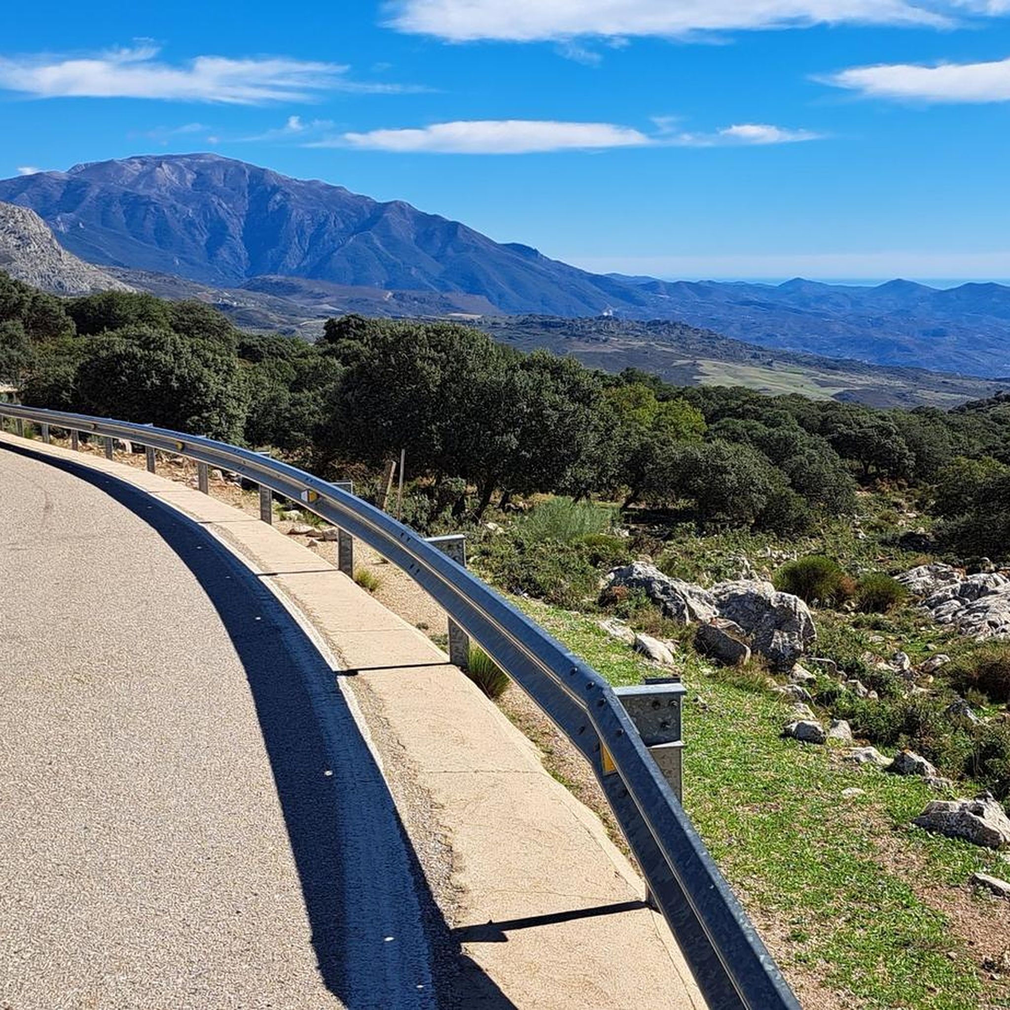
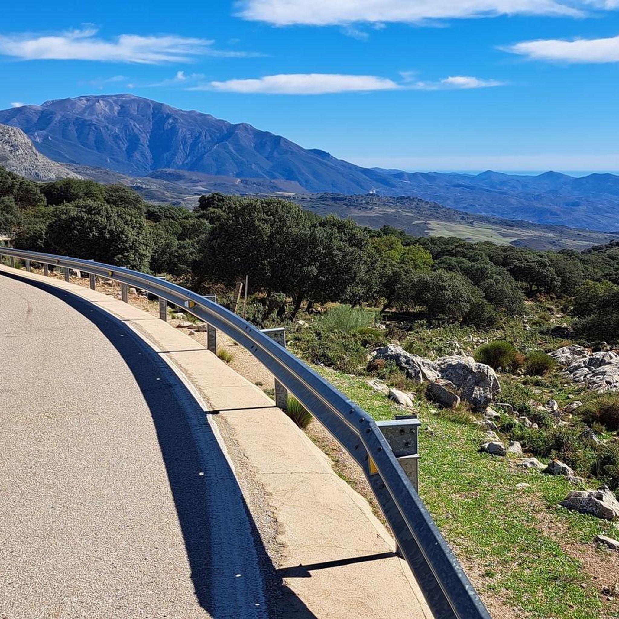
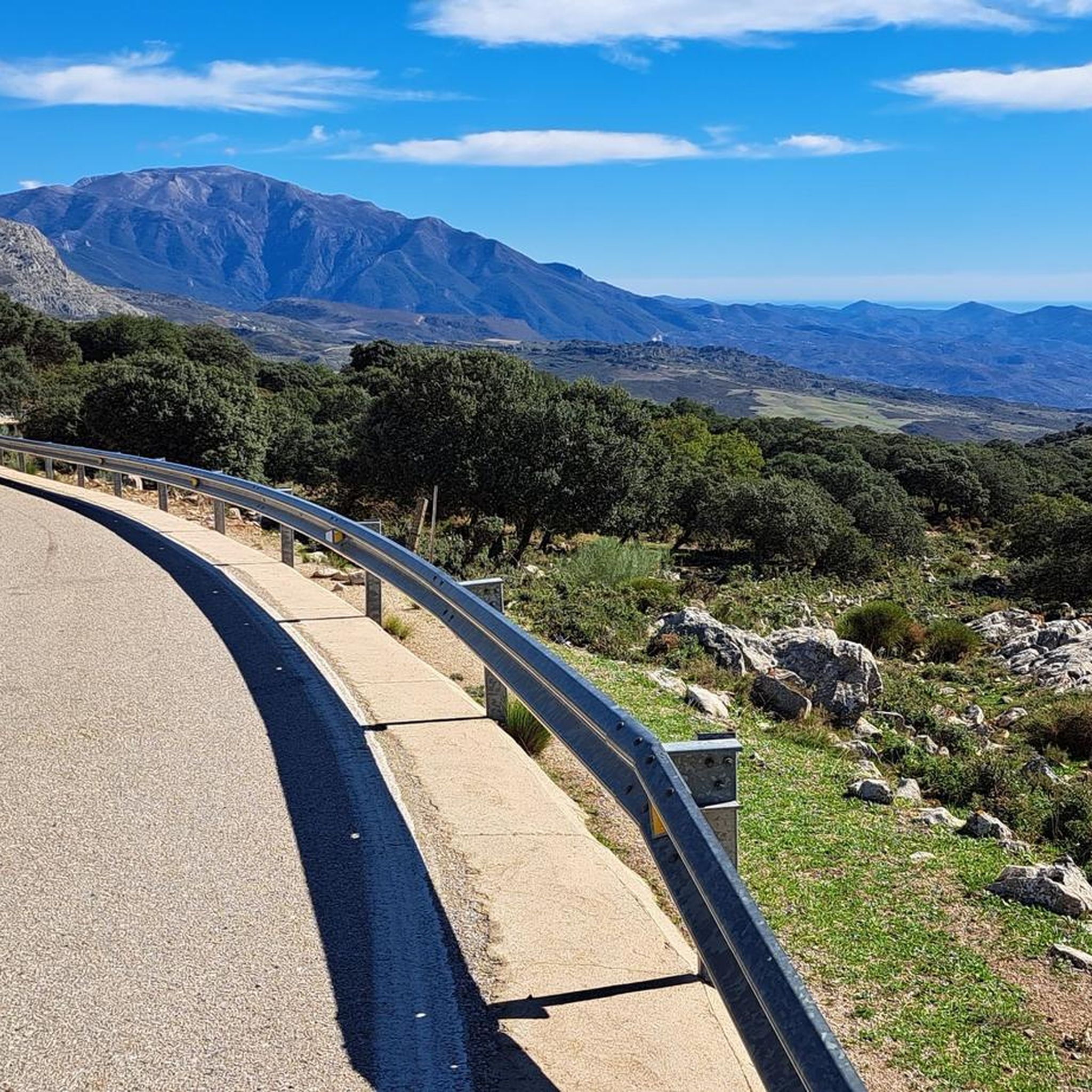
Spectacular viewpoint towards the Axarquía and the coast of Málaga
0
0

The crossing from Zafaraya to Periana is quite challenging. We'll definitely do it again together!
1
0

Here you can eat your sandwiches at the picnic tables under the trees in the shade while enjoying the beautiful view.
7
0
Enjoy the beautiful panoramas along this unpaved path. You can stare at them forever.
7
0

Breathtaking views, very easy trail
2
0

However, the fairly intense traffic (especially bikers), the constant slope (although challenging) and the length of this climb make it deserve to be included in the list of the most beautiful climbs in Axarquia.
0
0

switch back climb from the north is well paved and hot hot hot! great views
0
0
Frequently Asked Questions
What kind of landscapes can I expect to see around Alfarnate's mountain passes?
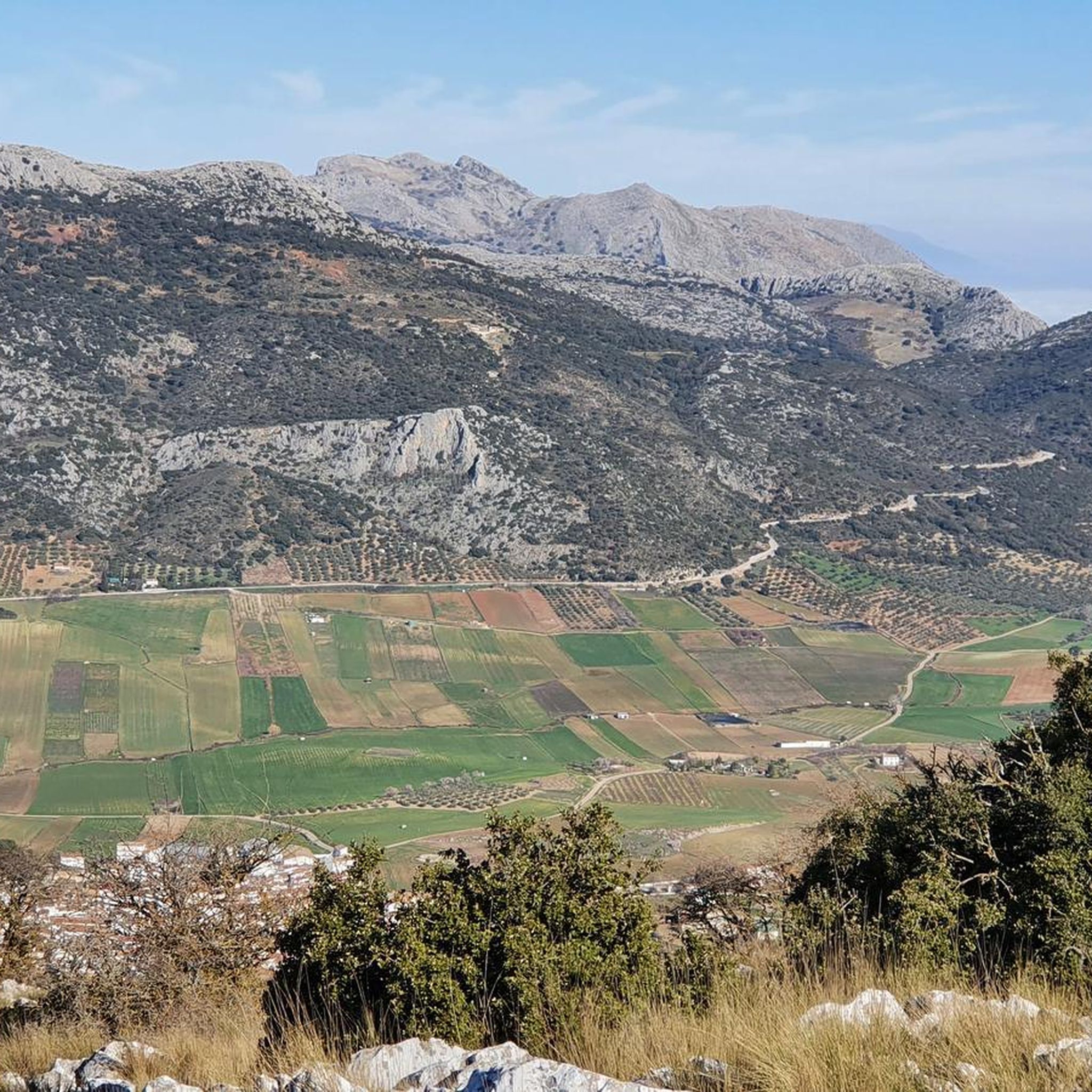
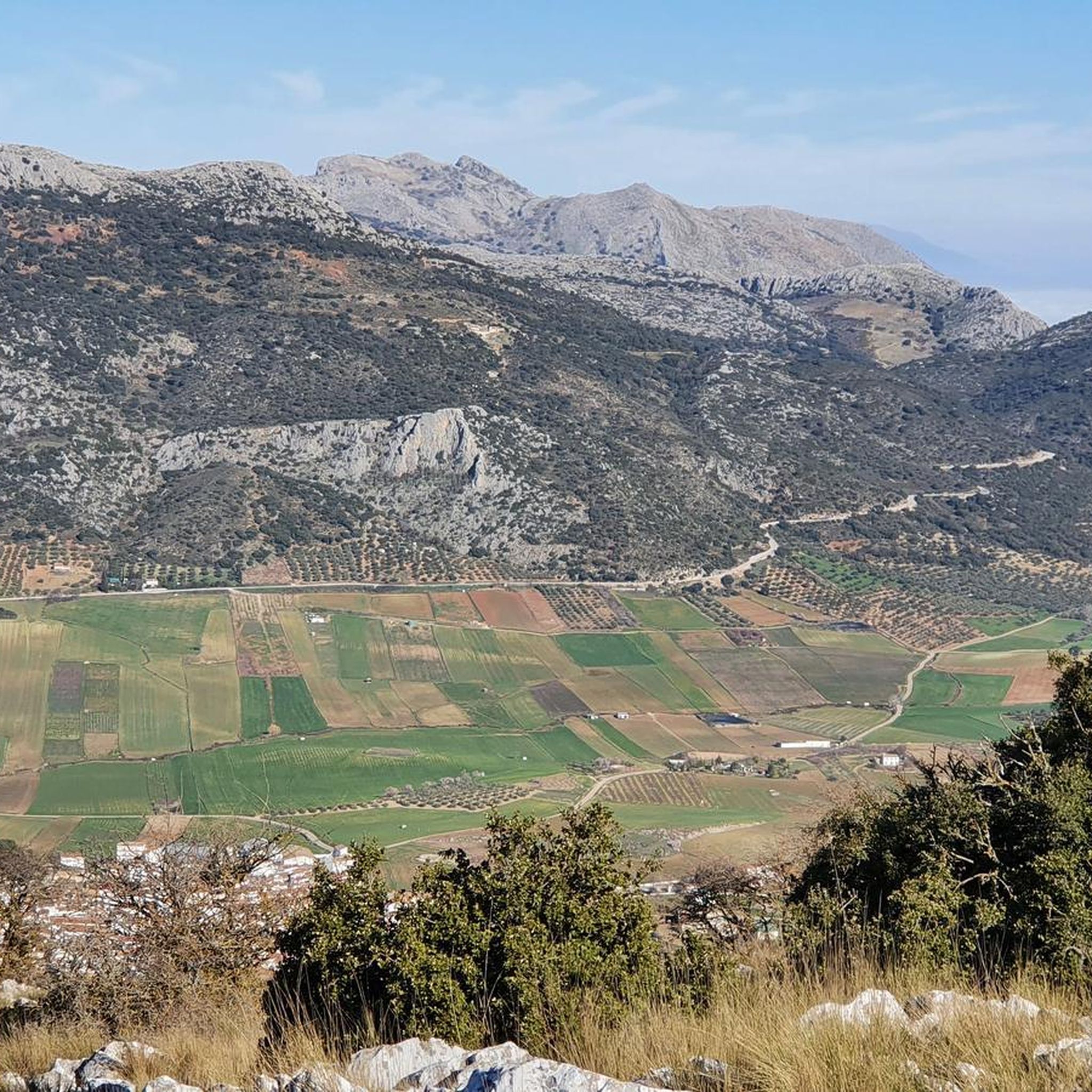
The mountain passes around Alfarnate offer a diverse range of landscapes. You'll encounter rugged, mountainous, and karstic terrain, especially around the Mountain Pass of El Quejigal. Other areas feature forests of Holm Oaks, Portuguese Oaks, Maples, and Pines, as well as the typical Axarquía landscape with olive and almond trees, visible from passes like Puerto de Sábar. You can also find paths running parallel to the Sabar River.
Are there any mountain passes with historical significance near Alfarnate?
Yes, several passes have historical elements. The Mountain Pass of El Quejigal features a well-preserved shelter with thick stone walls near its summit. Puerto de los Alazores was an important route in the past, especially for journeys between Granada and Málaga, with historical accounts of Ferdinand II of Aragon crossing it in 1487. Additionally, the Boquete de Zafarraya Viewpoint is a starting point for hiking trails and marks the end of a tourist train route, a replica of an old rack railway known as "La Cochinita" that operated between 1922 and 1959.
Which mountain passes offer the best panoramic views?
For stunning panoramic views, consider Puerto del Sol (1085 m), which offers views of the Axarquía valley all the way to the summit. The Mountain Pass of El Quejigal, being the highest point on the Gran Senda at 1,385 meters, also rewards hikers with extensive panoramic vistas. Boquete de Zafarraya Viewpoint also provides beautiful views and picnic tables to enjoy them.
Are there easy or family-friendly mountain passes to explore near Alfarnate?
Yes, the Malinfierno Pass is part of a circular hiking route (PR-A-268) starting in Alfarnate, considered to have a low difficulty level, making it accessible for families and casual hikers. It's a 4.8 km route taking about 1 hour and 40 minutes. The Boquete de Zafarraya Viewpoint is also categorized as family-friendly and offers picnic tables.
What are some more challenging mountain passes for experienced hikers?
For a more challenging experience, the Mountain Pass of El Quejigal (or Llano de la Cueva) is a significant point on Stage 11 of the Great Malaga Path. It traverses rugged, mountainous, and karstic terrain, reaching an elevation of 1,385 meters. Puerto del Sol (1085 m) is known for its consistently steep gradient, making it a tough climb. Puerto de Ventas de Zafarraya is also considered a challenging climb due to its constant slope and length.
What outdoor activities can I do near these mountain passes?
The area around Alfarnate's mountain passes is excellent for various outdoor activities. You can find numerous hiking trails, such as the 'Forest of Las Morillas – circular from Alfarnate (PR-A 268)' or the 'Peak of Vilo from Alfarnate (PR-A 267)'. Cycling is also popular, with routes like 'Venta de Alfarnate & Museum – Puerto del Sol (1085 m) loop from Alfarnatejo'. For more options, explore the hiking guide, cycling guide, and running trails guide for Alfarnate.
Are there specific hiking trails that incorporate these mountain passes?
Yes, the Malinfierno Pass is part of the PR-A-268 circular hiking route from Alfarnate and also forms part of Stage 10 of the Great Malaga Path (GR 249). The Mountain Pass of El Quejigal is a key point on Stage 11 of the Great Malaga Path (GR 249), linking Alfarnate with Villanueva del Rosario. You can find more hiking options in the hiking guide for Alfarnate.
What do visitors enjoy most about the mountain passes around Alfarnate?
Visitors frequently highlight the stunning scenery and rewarding views. For instance, those who tackle Puerto del Sol (1085 m) appreciate the great scenery and views of the Axarquía valley. The opportunity to explore diverse natural environments, from riverside paths to high-altitude karstic terrain, is also a major draw. Many enjoy the sense of accomplishment from challenging climbs and the tranquility of the natural surroundings.
Can I find places to rest or picnic near the mountain passes?
Yes, at the Boquete de Zafarraya Viewpoint, you'll find picnic tables under the trees where you can enjoy your food while taking in the beautiful views. Near the summit of the Mountain Pass of El Quejigal, there's also the Toma y Bebe fountain and a well-preserved shelter, which can serve as a resting spot.
What is the highest point among the mountain passes in the Alfarnate area?
The Mountain Pass of El Quejigal (or Llano de la Cueva) is the highest point, reaching an elevation of 1,385 meters above sea level. It is a significant feature on the Great Malaga Path (GR 249).
Are there any specific geological features worth noting?
The Mountain Pass of El Quejigal is characterized by its dramatic geological formations, including interesting sinkholes within its karstic landscape. This unique terrain adds to the natural beauty and exploration opportunities in the area.
Where can I find parking when visiting these mountain passes?
There are plenty of parking spaces available at the Boquete de Zafarraya Viewpoint, as it serves as a popular starting point for various hiking trails in the region.
What kind of trees and plants can be found around the mountain passes?
The natural surroundings are rich with diverse flora. Around the Mountain Pass of El Quejigal, you'll find forests composed of Holm Oaks, Portuguese Oaks, Maples, and Pines. Near Puerto de los Alazores, there are pino carrasco, elms, and pino resinero. The general Axarquía landscape also features abundant olive and almond trees.
Most popular attractions around Alfarnate

Get inspired with the komoot mobile app


Explore more
See even more epic mountain passes by checking out these guides around Alfarnate:
