Top 3 Mountain Passes around Llanfairfechan
Best mountain passes around Llanfairfechan provide access to the foothills of the Carneddau mountain range, known for its rugged terrain and historical significance. The area offers various challenging and scenic upland walks and climbs. Routes often cross the 304-meter contour line, traversing heath and moorland, including moderate to steep climbs and ancient paths like a Roman Road. This region is notable for its diverse landscapes, ranging from wooded river valleys to the rugged Carneddau foothills.
Best mountain passes around Llanfairfechan
…Last updated: October 3, 2026
Bwlch Eryl Farchog
Highlight (Segment) • Climb
Tip by

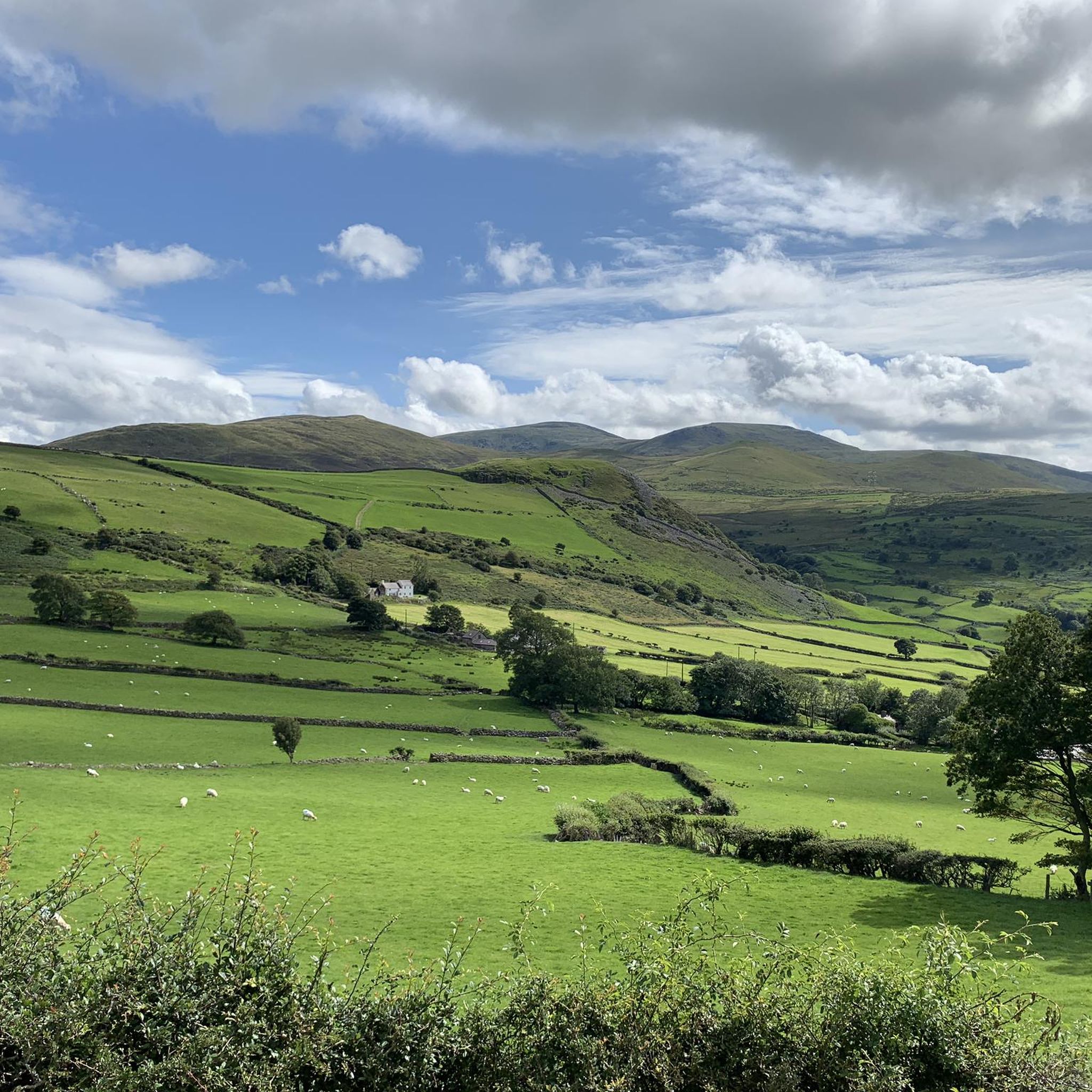
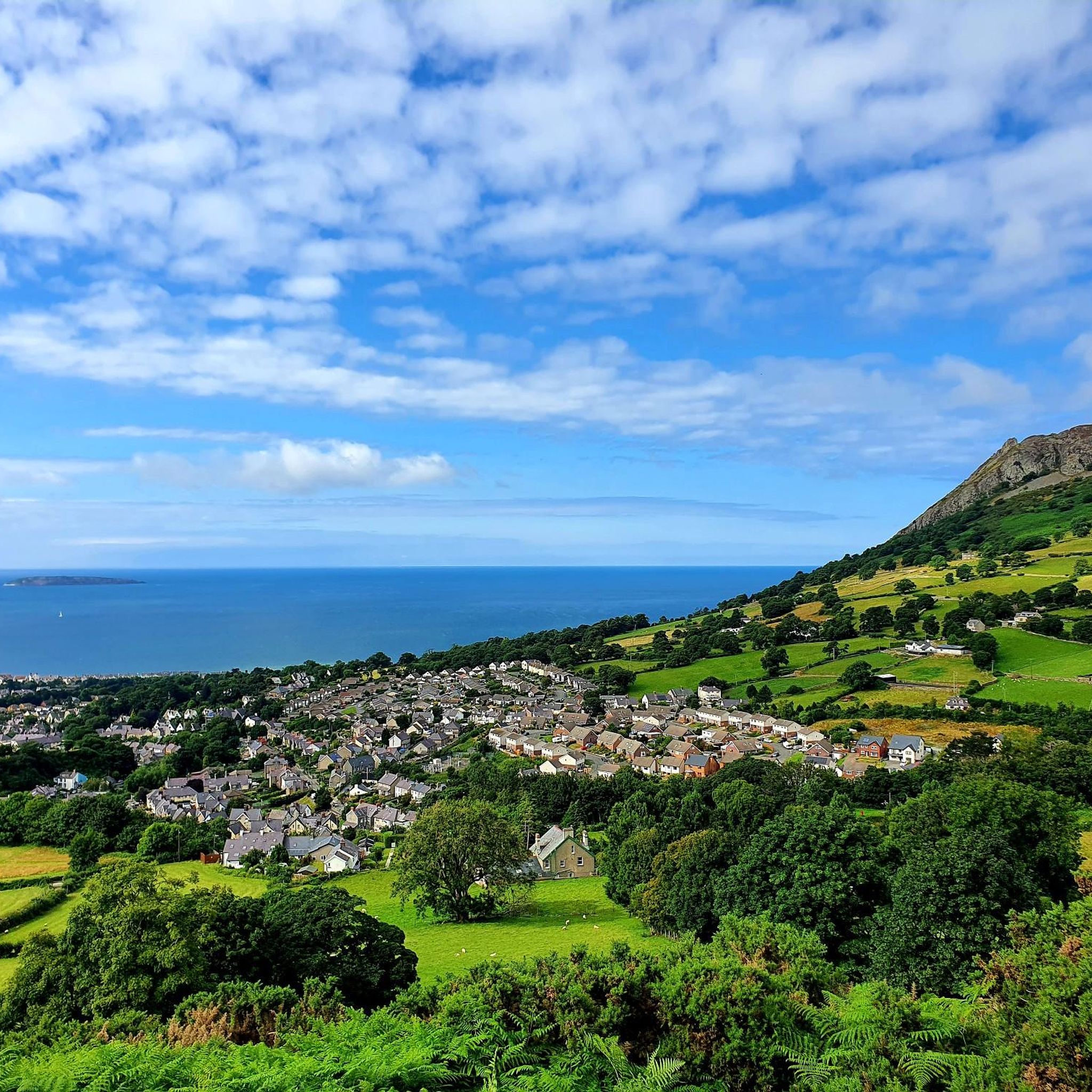
Sychnant Pass Climb from Capelulo
Highlight (Segment) • Viewpoint
Tip by

Sign up now to discover places like this
Get recommendations on the best single tracks, peaks, & plenty of other exciting outdoor places.
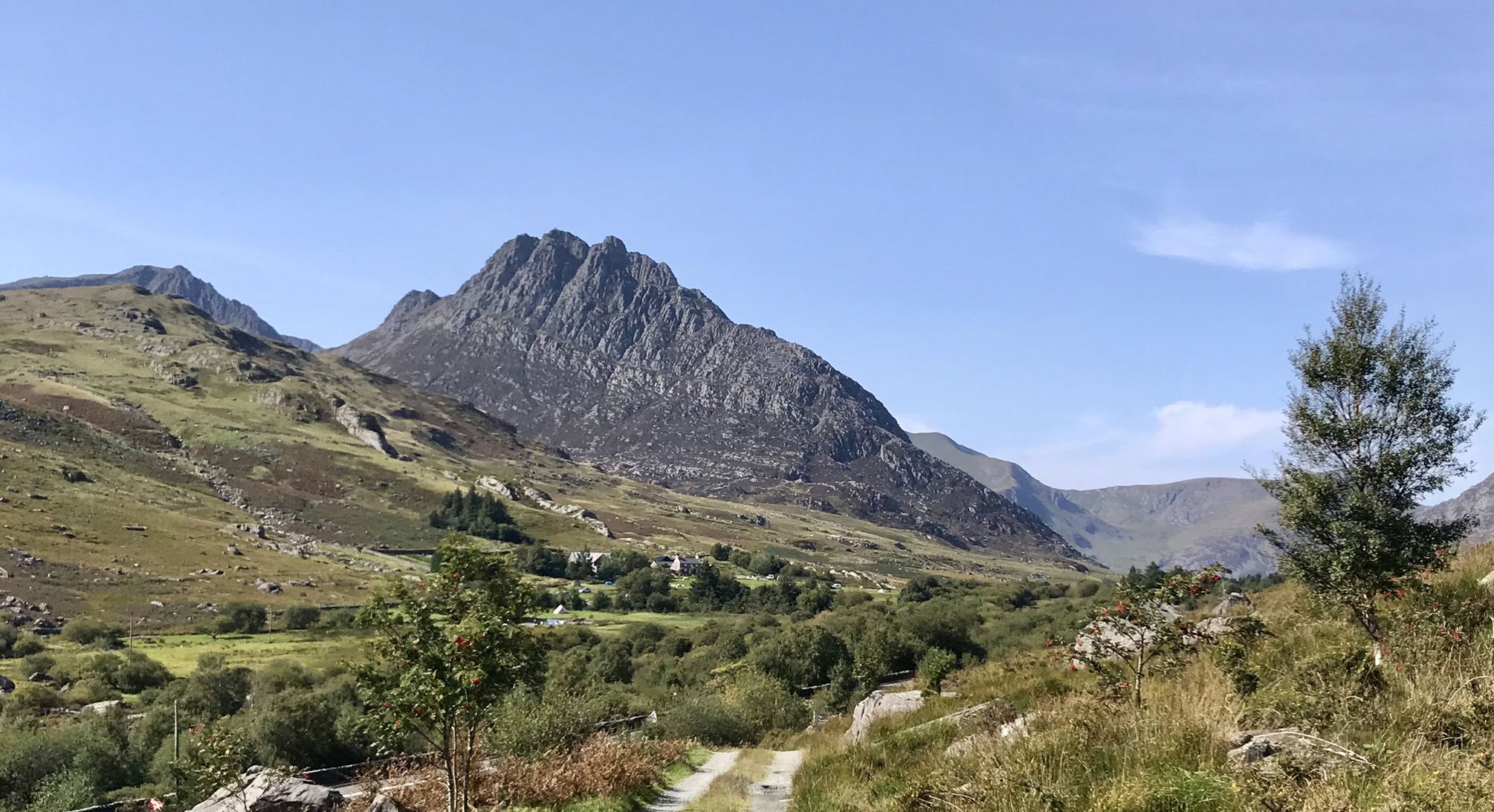
View of the Carneddau Mountains
Highlight • Viewpoint
Tip by

View of the Carneddau from Sychnant Pass
Highlight • Viewpoint
Tip by

Start today with a free account
Your next adventure awaits.
Other adventures around Llanfairfechan

Tips from the Community

Excellent connecting ridge between Carnedd Llewellyn and Pen yr Helgi Du. FIne climbing and scrambling routes on the northern side, such as in the Amphitheatre.
0
0

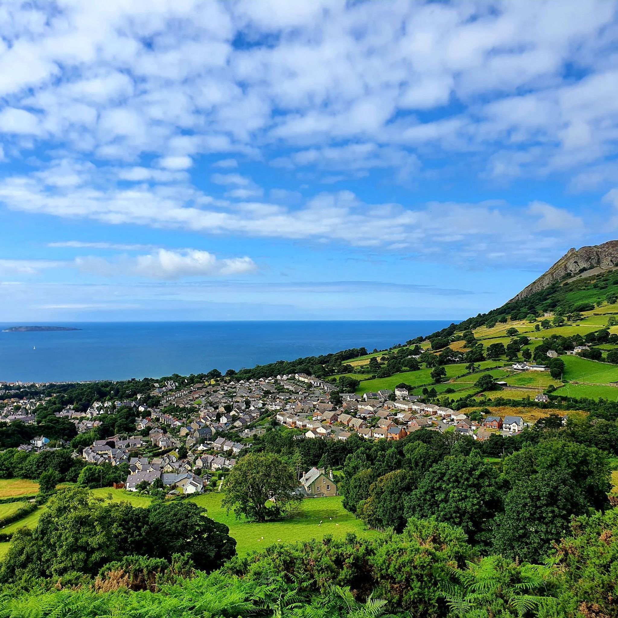
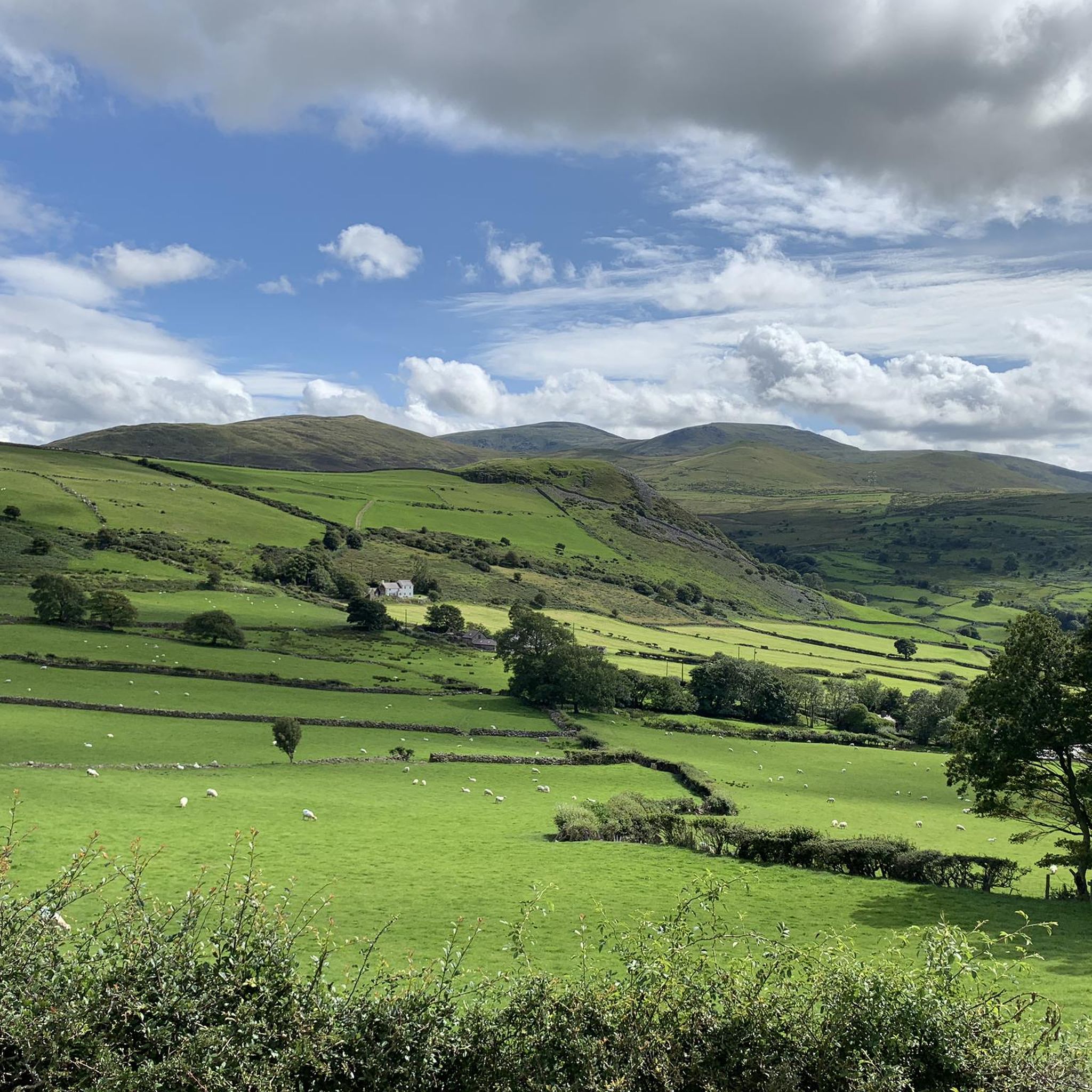
A great place to take in a view of east Eryri and the Carneddau range with easy access. See Tal y Fan in the foreground and beyond it Drum and Carnedd Y Ddelw and on even clearer days Carnedd Gwenllian
1
0

It's well worth the effort to climb to the top of the pass.
0
1

Magnificent and dizzying view! However, prefer to go around in the opposite direction to that indicated. The steep slope is very narrow and steep. Easier to go up than to go down.
0
0

Sychnant Pass (Welsh: Bwlch Sychnant, "Dry-stream Pass") in Conwy County Borough, Wales, links Conwy to Penmaenmawr via Dwygyfylchi. Much of the pass is in Snowdonia National Park, and a large area of land within it has been designated a site of Special Scientific Interest. At the bottom is the village of Capelulo, which lends its name to the community of Penmaenmawr. Tough climb from any direction. Well worth for the stunning scenery.
2
0

We did this Route clockwise I would suggest to try it anticlockwise
0
0

One of the best ranges to explore bit of a scramble but very enjoyable
0
0
The Carneddau are a group of mountains in Snowdonia, Wales. They include the largest contiguous areas of high ground in Wales and England, as well as six or seven of the highest peaks in the country—the Fifteen Peaks!!
0
0
Frequently Asked Questions
What are the most scenic mountain passes around Llanfairfechan?
For stunning views, consider the Sychnant Pass Climb from Capelulo, which offers breathtaking scenery back over the coast and beyond. Another excellent option is Bwlch Eryl Farchog, known for its quiet atmosphere and spectacular vistas within the Carneddau range. You can also get a great View of the Carneddau Mountains themselves, showcasing the largest contiguous areas of high ground in Wales.
Are there challenging mountain passes for experienced hikers near Llanfairfechan?
Yes, several routes offer a challenge. The Sychnant Pass Climb from Capelulo is known for its steep sections. Bwlch Eryl Farchog involves a fairly simple scramble, which can be slippery when wet, requiring good footing. For those seeking more demanding ascents, the wider Carneddau range, accessible from Llanfairfechan, includes peaks like Carnedd Llewelyn and Carnedd Dafydd, which require very good fitness and sure-footedness.
Can I find family-friendly mountain passes or walks in the Llanfairfechan area?
While many mountain passes involve challenging terrain, you can find accessible viewpoints. The View of the Carneddau from Sychnant Pass offers easy access to take in views of the Carneddau range. For family-friendly hikes that offer a taste of the uplands, consider routes from our Family-friendly hikes around Llanfairfechan guide, such as the 'Sunset View Over the Sea – Nant y Coed Nature Reserve loop from Llanfairfechan' which is rated easy.
What kind of historical or archaeological sites can I see near these mountain passes?
The area around Llanfairfechan is rich in history. The Llanfairfechan Upland Walk, which crosses the 304-meter contour line, traverses heath and moorland and includes a Roman Road, along with archaeological sites dating back to the Stone Age. Additionally, the route to Tal y Fan, a popular summit, includes historic stone circles.
What wildlife might I encounter around the mountain passes near Llanfairfechan?
When exploring areas like Bwlch Eryl Farchog, you might be lucky enough to spot wild ponies. The Carneddau mountains are also home to diverse birdlife and other upland species. The Nant y Coed Nature Reserve, part of the Aber-Roth Pass Gravel Climb loop, offers varied terrain where you can observe local flora and fauna.
When is the best time of year to visit the mountain passes around Llanfairfechan?
The best time to visit is generally from late spring to early autumn (May to October) when the weather is milder and more stable. However, mountain weather can be very changeable at any time of year. Always check local forecasts, wear strong walking boots, and carry warm and waterproof clothing, especially when heading into the higher Carneddau range.
Are there options for public transport to access hiking trails near Llanfairfechan's mountain passes?
Yes, Llanfairfechan offers access to trails from public transport hubs. You can find specific routes in our Hikes from bus stations around Llanfairfechan guide. These routes, such as the 'Nant y Coed Nature Reserve loop from Llanfairfechan', provide convenient starting points for exploring the surrounding uplands without a car.
What other outdoor activities can I do near the mountain passes around Llanfairfechan?
Beyond hiking, the area offers various outdoor activities. You can explore traffic-free bike rides, with options like the 'Promenade Café – Aber Castle Mound loop from Llanfairfechan' found in our Traffic-free bike rides around Llanfairfechan guide. The Nant y Coed Nature Reserve also features the Aber-Roth Pass Gravel Climb, suitable for gravel biking or challenging hikes.
Are dogs allowed on the mountain passes and trails near Llanfairfechan?
Generally, dogs are welcome on public footpaths and bridleways in the area. However, it's crucial to keep dogs under close control, especially in areas with livestock or ground-nesting birds. Always follow the Countryside Code, clean up after your dog, and be aware that some nature reserves or specific areas might have stricter rules or require dogs to be on a lead.
Where can I find parking for mountain trails around Llanfairfechan?
Llanfairfechan itself offers various parking options within the town, which can serve as a starting point for many upland walks. For specific trailheads, it's advisable to check local signage or trail information for designated parking areas. Some routes, like the Llanfairfechan Upland Walk, often start from accessible points within or just outside the village.
What makes the Carneddau mountains, visible from some passes, significant?
The Carneddau mountains are highly significant as they include the largest contiguous areas of high ground in Wales and England. They boast six or seven of the highest peaks in the country, including Carnedd Llewelyn and Carnedd Dafydd. The View of the Carneddau Mountains highlight provides a glimpse into this impressive range, often referred to as the 'Fifteen Peaks'.
What should I know about the Aber-Roth Pass Gravel Climb?
The Aber-Roth Pass Gravel Climb is part of a moderate loop from Llanfairfechan that explores the Nant y Coed Nature Reserve. It requires good fitness but is generally accessible, offering varied terrain within the reserve. This route is a great option for those looking for a challenging gravel ride or a longer, more strenuous hike.
Most popular routes around Llanfairfechan
Most popular attractions around Llanfairfechan

Get inspired with the komoot mobile app


Explore more
See even more epic mountain passes by checking out these guides around Llanfairfechan:
