The 7 Most Amazing Peaks around Büttenhardt
Best mountain peaks around Büttenhardt are characterized by elevated terrain and scenic viewpoints rather than traditional high summits. Büttenhardt, a municipality in the canton of Schaffhausen, Switzerland, is situated on the rocky Reiatrücken (Reiat Ridge). Its elevation ranges from approximately 508 to 688 meters above sea level, offering a landscape suitable for hiking and enjoying natural surroundings. The area is known for its rural charm and agricultural lands, providing elevated areas with recreational opportunities.
Best mountain peaks around Büttenhardt
- The…
Last updated: October 10, 2026
Hohenstoffeln Summit
Highlight • Summit
The ascent to the Hohenstoffeln can best be done …
Translated by Google •
Tip by

Hagenturm Observation Tower
Highlight • Viewpoint
Translated by Google •
Tip by

Sign up now to discover places like this
Get recommendations on the best single tracks, peaks, & plenty of other exciting outdoor places.
Zälgli
Highlight • Rest Area
Translated by Google •
Tip by

View of Schaffhausen and the Rhine from Feuerthalen Bridge
Highlight • Viewpoint
Translated by Google •
Tip by

Langer Randen Summit (893 m)
Highlight • Summit
Translated by Google •
Tip by

Sign up for free to discover even more peaks around Büttenhardt.
Already have an account?
Start today with a free account
Your next adventure awaits.

Tips from the Community


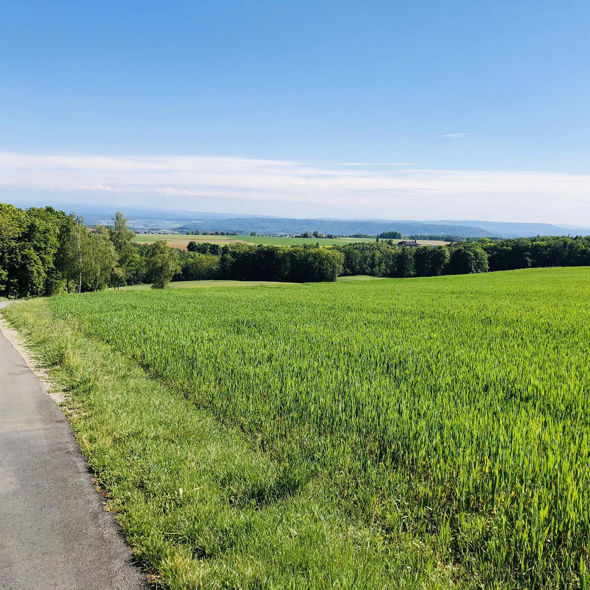
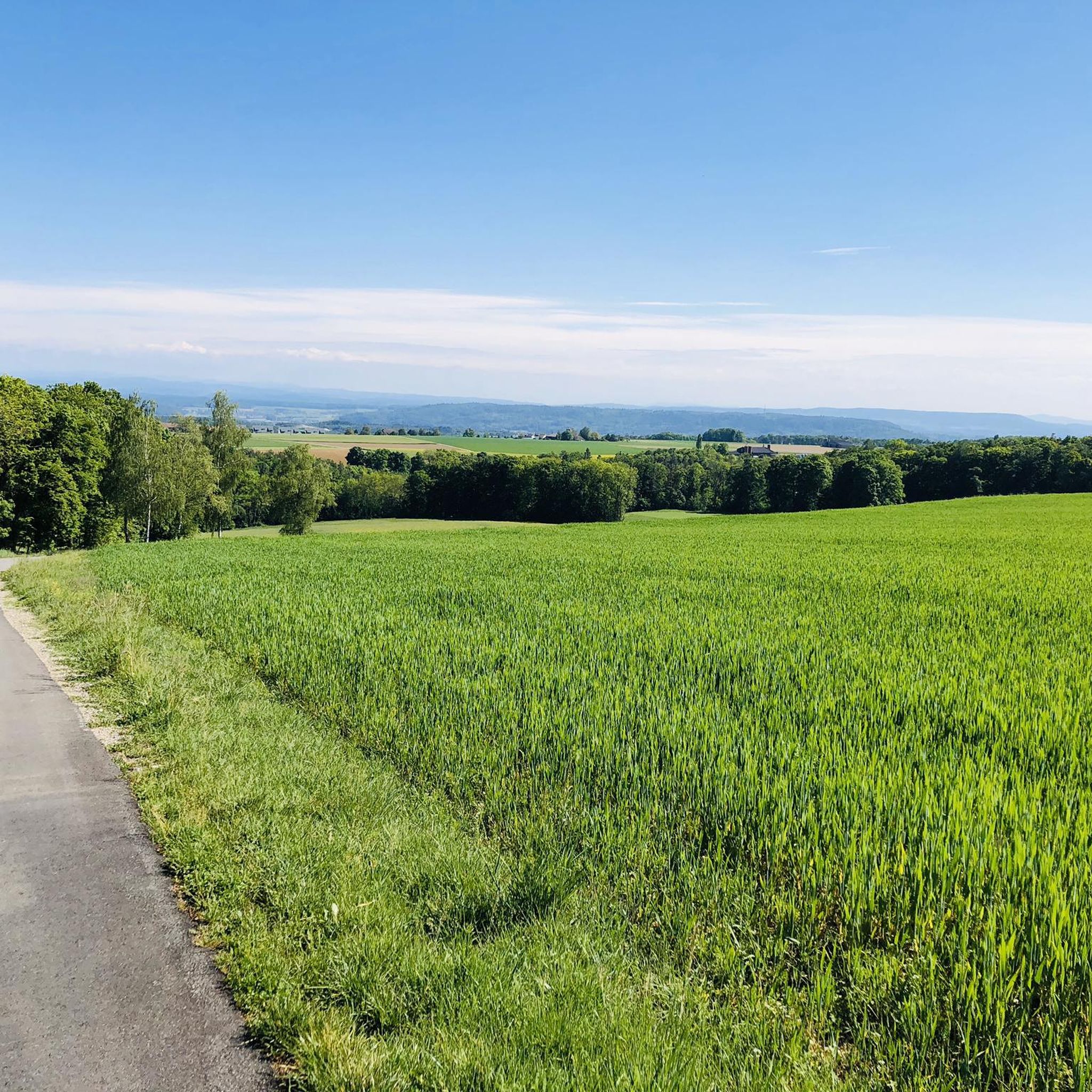
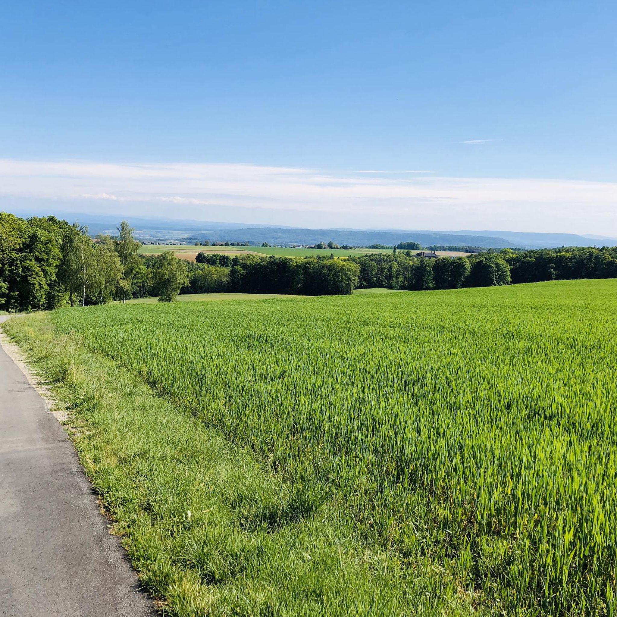
We were given a break to relax in the morning hours. As quiet and peaceful as ever.
1
1

The viewing platform can be reached via 225 steps. Above the treetops, there is a unique panoramic view from the Black Forest to the Alps. The Hagenhütte is about a 10-minute walk below the Hagenturm. This hut is open to everyone all year round, every weekend on Saturday from 12:00 p.m. to 4:00 p.m. and on Sunday from 10:00 a.m. to 4:00 p.m. (current opening times: http://kos-altkadetten.ch/) Drinks, a small snack and delicious cakes can be bought from the hut warden. The range varies depending on the hut warden.
4
0

Nice sleepy place on the Rhine
2
0

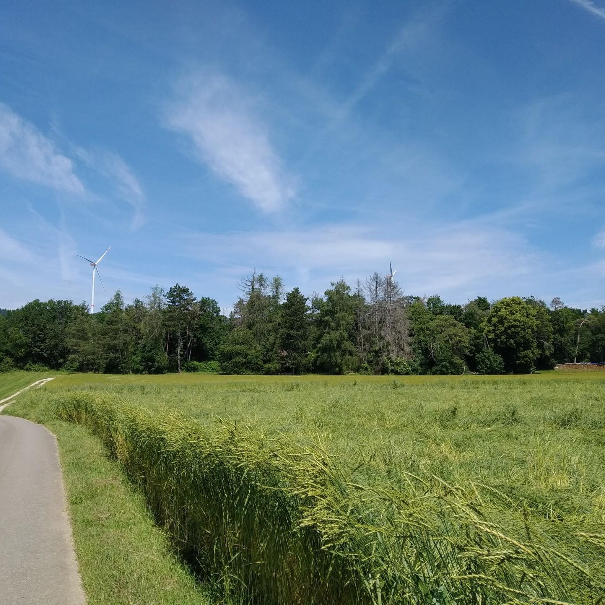
A great area for biking, a lot in the forest and therefore pleasantly shady in summer.
2
0

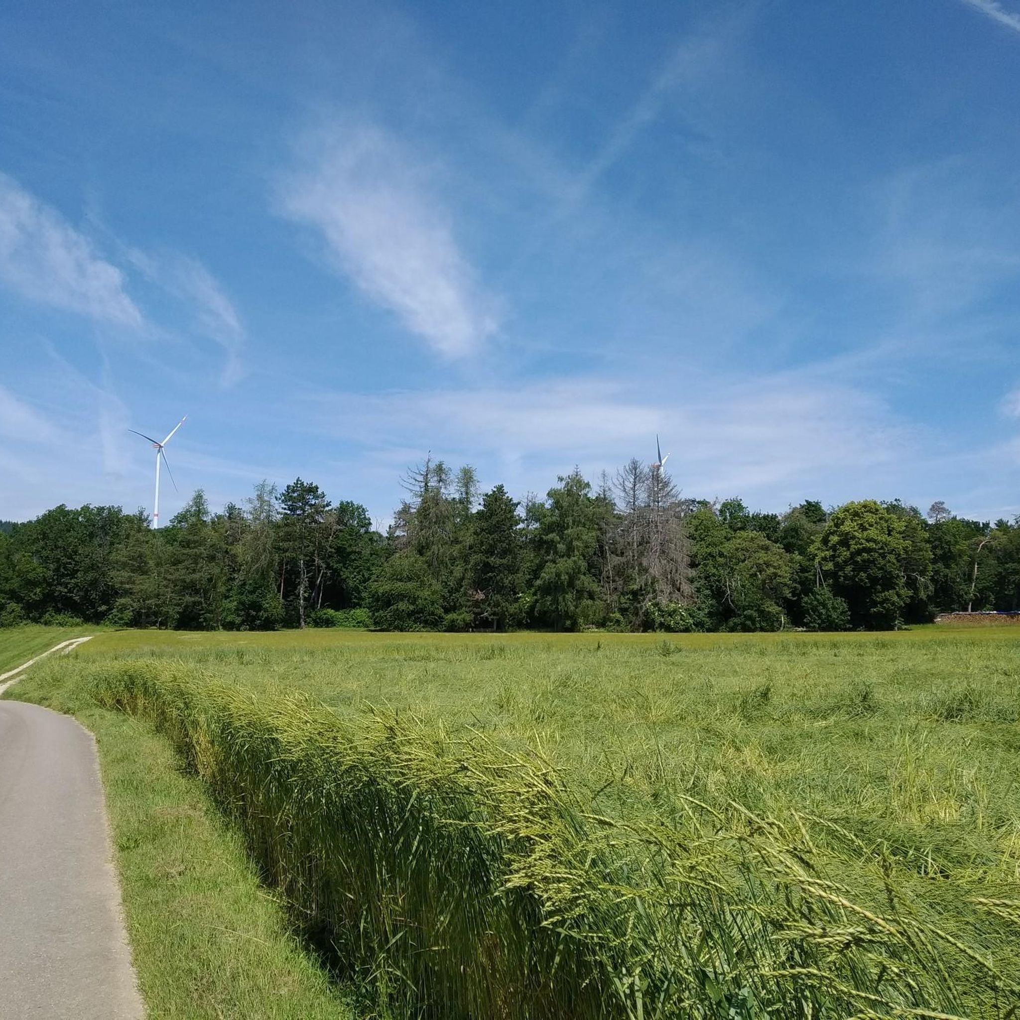
The meadow is signposted as a "public playground and camp meadow". Space without end and barbecue facilities.
2
0

There are 2 viewpoints here. From one of them you have a beautiful view towards the Alps and at the summit cross you can see the villages down.
4
0

Very demanding ascent from the direction of Hohenhewen. Over an ascending meadow, it turns into a partly very steep forest. If the path is damp, the ascent becomes even more difficult. From the ridge to the summit, it's flatter to the summit. There you will be rewarded with a wonderful view
3
1
Frequently Asked Questions
What are the most notable elevated points or viewpoints around Büttenhardt?
The region around Büttenhardt, situated on the Reiat Ridge, offers several elevated points and observation towers with scenic vistas. Key highlights include the Hagenturm Observation Tower, which provides extensive views, and the Siblinger Randen Tower, known for its panoramic outlook. Additionally, the Hohenstoffeln Summit impressively shapes the landscape of the Hegau.
Are there historical sites or cultural landmarks associated with the elevated points in the Büttenhardt region?
Yes, several elevated points in the region have historical significance. The Hohenstoffeln Summit features remains of three castle ruins and is a protected natural monument. The area around the Siblinger Randen Tower also contains old spur castle remains from the Bronze Age and medieval ramparts.
What kind of views can I expect from the observation towers near Büttenhardt?
From the 40-meter-high Hagenturm Observation Tower, on clear days, you can see the Swiss Alps, French Vosges, Black Forest, Hegau, and Lake Constance. The 19-meter-high Siblinger Randen Tower offers an all-round panoramic view of the surrounding landscape.
Are there family-friendly elevated areas or trails suitable for children around Büttenhardt?
Yes, the region offers options for families. The Zälgli is a large meadow area in the Randen, ideal for families with fire pits, tables, benches, and shelter. It's signposted as a 'public playground and camp meadow,' offering plenty of space for games. The Siblinger Randen Tower is also considered family-friendly.
What outdoor activities can I do near the elevated points around Büttenhardt?
The elevated terrain around Büttenhardt is excellent for various outdoor activities. You can find numerous running trails, such as the 'Erlewääldli loop from Stetten SH' or the 'Büttenhardt, village loop from Lohn SH.' For cycling enthusiasts, there are routes like the 'Kesslerloch Cave – Badi Hofen Swimming Pool loop from Stetten SH.' Gravel biking is also popular, with routes like the 'Hagenturm Observation Tower – Hagenturm Observation Tower loop from Schaffhausen.' You can explore more options on the Running Trails around Büttenhardt, Cycling around Büttenhardt, and Gravel biking around Büttenhardt guide pages.
What is the best time of year to visit the elevated points and trails near Büttenhardt?
The region is generally pleasant for outdoor activities from spring through autumn. The elevated terrain and forest trails are enjoyable in milder weather. While specific winter hiking trails are not highlighted, the landscape can be beautiful in winter, though conditions may vary. Always check local weather conditions before your visit.
Are there any specific tips for visiting the Hohenstoffeln Summit?
The Hohenstoffeln Summit is a double summit, with the northern peak at 844 meters. Ascents can be made from Hombollhof above Weiterdingens or from the small hamlet Hofwiesen. Be aware that only ruins remain of the three castles that once stood there, and the mountain has been a protected natural monument since 1939, preventing further basalt mining.
What do visitors enjoy most about the elevated areas around Büttenhardt?
Visitors frequently appreciate the extensive views from observation towers like the Hagenturm Observation Tower, especially on clear days when the Alps and Lake Constance are visible. The natural beauty, historical elements like castle ruins, and the peaceful rural charm of the Reiat Ridge also receive high praise. The komoot community has shared over 520 photos and given more than 360 upvotes for these spots.
Are there designated rest areas or picnic spots near the elevated trails?
Yes, the Zälgli is a notable rest area in the Randen, offering fire pits, tables, benches, and a shelter. It's a spacious meadow perfect for picnics and relaxation after exploring the trails.
Is public transport available to access hiking trails and elevated points around Büttenhardt?
Büttenhardt is a municipality in the canton of Schaffhausen, Switzerland. While specific public transport routes directly to every trailhead are not detailed, the region is generally accessible. It is advisable to check local public transport schedules and connections to Büttenhardt or nearby villages for the most convenient access to hiking areas.
Are hiking permits required for the trails around Büttenhardt and in the Schaffhausen region?
Hiking permits are generally not required for public trails in Switzerland, including the Schaffhausen region and around Büttenhardt. However, it's always good practice to respect private property, follow marked paths, and adhere to any local regulations or protected area guidelines.
Are there any specific recommendations for dog-friendly trails near Büttenhardt's elevated points?
Many trails in the natural surroundings of Büttenhardt are suitable for dogs. While specific dog-friendly trails with leash rules are not detailed, the forest trails and open areas on the Reiat Ridge generally welcome dogs. Always ensure your dog is under control, especially near agricultural lands or wildlife, and carry waste bags.
Most popular routes around Büttenhardt
Most popular attractions around Büttenhardt

Get inspired with the komoot mobile app


Explore more
See even more amazing summits around Büttenhardt with these guides:
