The best MTB trails around Langweid am Lech
4.6
(67)
210
riders
35
rides
Mountain biking around Langweid am Lech offers a varied environment for outdoor activities. The region is situated on the banks of the Lech River, surrounded by extensive forests and fields. This landscape provides a network of trails that traverse gentle hills and diverse terrain. The area is part of the Augsburg-Westliche Wälder Nature Park, featuring natural beauty and varied cycling opportunities.
Best mountain bike trails around Langweid am Lech
- The most popular mountain bike trail is Peterhof Short Trail –…
Last updated: June 27, 2026
4.8
(4)
17
riders
28.6km
02:05
260m
260m
Moderate mountain bike ride. Good fitness required. Advanced riding skills necessary.
5.0
(6)
28
riders
Easy mountain bike ride. Great for any fitness level. Suitable for all skill levels.

Sign up for free
4.8
(4)
8
riders
40.5km
02:57
380m
380m
Moderate mountain bike ride. Good fitness required. Advanced riding skills necessary.
5.0
(1)
14
riders
29.1km
01:32
60m
60m
Easy mountain bike ride. Great for any fitness level. Suitable for all skill levels.
5.0
(1)
6
riders
Easy mountain bike ride. Great for any fitness level. Suitable for all skill levels.
Get access to more routes and recommendations from other explorers.
Sign up for free
Already have an account?
Our route recommendations are based on thousands of hikes, rides, and runs completed by other people on komoot.
Start today with a free account
Your next adventure awaits.
Login or Signup
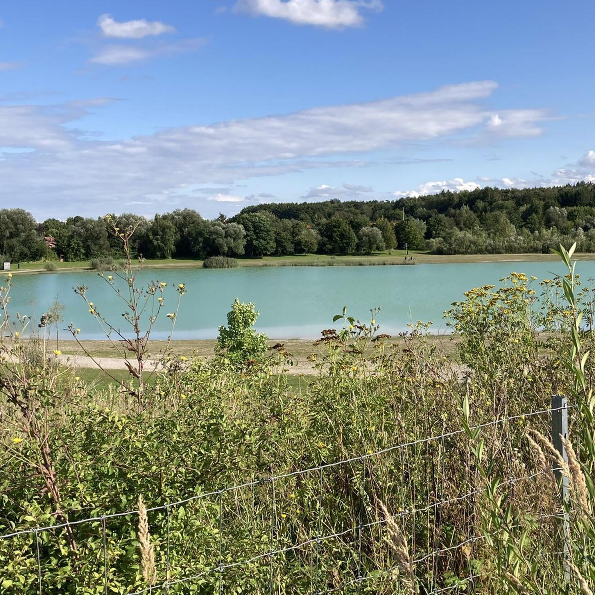
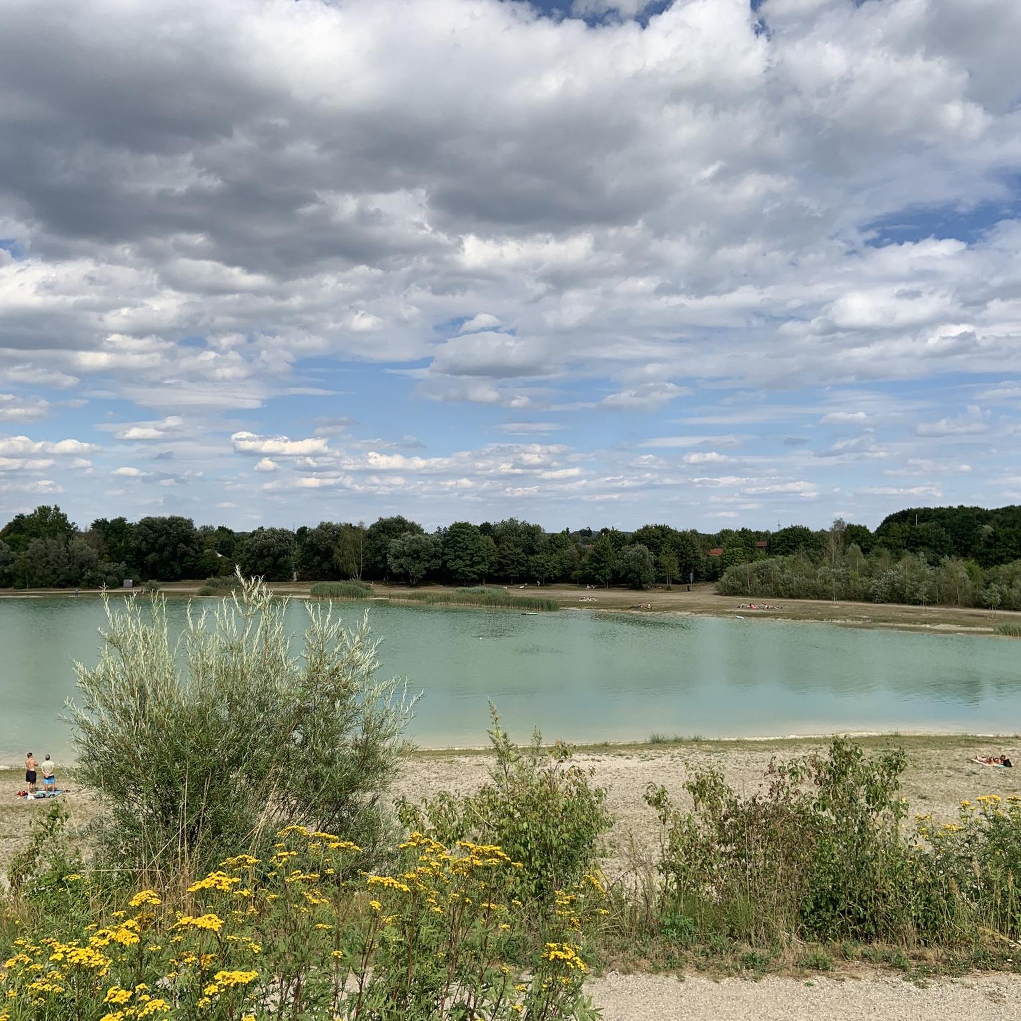
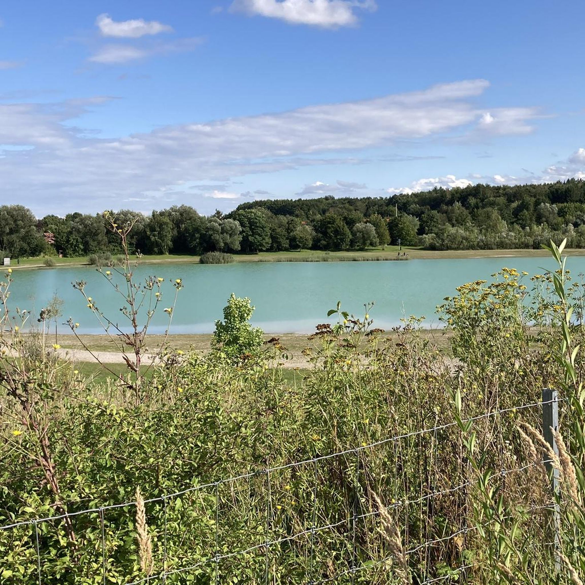
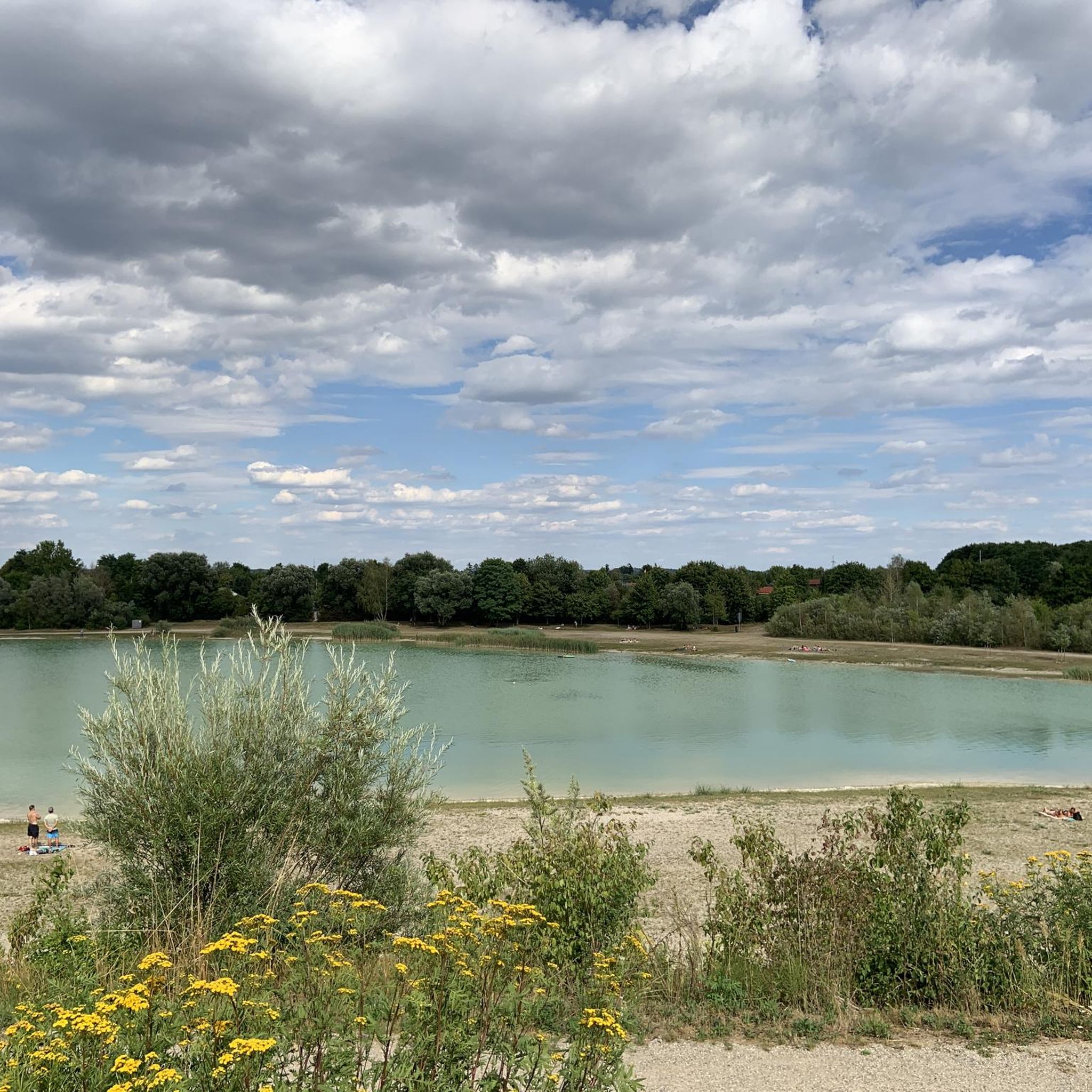
Tips from the Community

Depending on the water flow in the Lech, north of the weir in Gersthofen, the "river" is only fed by the water flowing through the fish ladder, with the water being primarily diverted into the Lech canal.😒
0
0

The enduro doesn't feel anything at all 🤣
0
0

The Lech is a right tributary of the Danube. The 256 km long river originates in Vorarlberg in the Hochtannberg region at the confluence of the Spullerbach and Formarinbach streams in the Tannläger valley. It flows through Tyrol and southern Bavaria, where it empties into the Danube. Shortly before the Austrian-German border, it joins the Vils river, forms the artificial Lechfall near Füssen, and crosses Swabia and Upper Bavaria on its way. The largest cities on the Lech are Landsberg and Augsburg; in this city, it receives its largest tributary, the Wertach. The river empties into the Danube near Marxheim. Source: Wikipedia
1
0
The Lech is a right tributary of the Danube. The 256 km long river originates in Vorarlberg in the Hochtannberg region at the confluence of the Spullerbach and Formarinbach streams in the Tannläger valley. It flows through Tyrol and southern Bavaria, where it empties into the Danube. Shortly before the Austrian-German border, it joins the Vils river, forms the artificial Lechfall near Füssen, and crosses Swabia and Upper Bavaria on its way. The largest cities on the Lech are Landsberg and Augsburg; in this city, it receives its largest tributary, the Wertach. The river empties into the Danube near Marxheim. Source: Wikipedia
2
0
The Via Claudia Augusta is the oldest Roman road in the Bavarian Alpine foothills. The Via Claudia Augusta was one of the most important Roman roads connecting northern Italy with southern Germany. Even in the time of the Roman Emperor Claudius, it was used to cross the Alps by wagon. To develop the new province, later called Raetia, the route from Feltria/Feltre via Tridentum (Trento) and the Reschen Pass, the Upper Inn Valley, and the Fern Pass to the Lech River was already being expanded. The road was finally completed, made accessible to wagons throughout, renovated, and extended to the Danube under Emperor Claudius. In the first two centuries AD, the Via Claudia Augusta was the most important connection between the Adriatic Sea, the Po Valley, and the western Alpine foothills. The road was of particular importance for the Roman imperial postal service. As usual, it was monitored by the Benefiziarii, a traffic police force composed of legionnaires assigned to ensure the maintenance of the road and the safety of its users. Over the years, a vibrant infrastructure developed along the road: inns and horse-changing stations (mansiones, mutationes) were established, some of which eventually grew into towns. Source: Wikipedia Unfortunately, the route of the Via Claudia in the Stettenhofen – Langweid area can no longer be reconstructed. The Lech River, which once had the ability to damage it with its rapid and unhindered flow, is likely responsible for the largely destroyed route in this area. Source and information: https://www.roemerstrasse-via-claudia.de/die-via-claudia-bei-langweid
3
0
The Lech Canal is a non-navigable, left-bank canal of the Lech River. It branches off from the river near Gersthofen and rejoins the river after passing the hydroelectric power plants in Gersthofen, Langweid, and Meitingen. Also known as the LEW Works Canal, it was built in sections between 1898 and 1922 for power generation and flood protection. It is approximately 18 km long and 28 m wide, and is spanned by seven traffic bridges. Source: Wikipedia
2
0

The Via Claudia is the most important Roman road north of the Alps. It was the former connection between the northern Italian mainland and the territory of the province of Raetia, serving as a key military road, traffic artery, and trade route. Unfortunately, the route of the Via Claudia in the Stettenhofen-Langweid area can no longer be reconstructed. The Lech River, which once caused unhindered damage to the road, is likely responsible for the largely destroyed route in this area. https://www.roemerstrasse-via-claudia.de/die-via-claudia-bei-langweid
2
0
Frequently Asked Questions
What kind of mountain bike trails can I expect in Langweid am Lech?
Langweid am Lech offers a diverse network of mountain bike trails suitable for various skill levels. You'll find everything from easy riverside paths along the Lech to more challenging sections through the Western Forests, including some with technical elements like roots. The area has 12 easy and 20 moderate routes, making it accessible for most riders.
What are the typical terrain types for mountain biking around Langweid am Lech?
The terrain around Langweid am Lech is quite varied. You'll encounter trails along the scenic Lech River, extensive forest paths, and open fields. The Western Forests, in particular, can feature challenging root sections and single trails, while riverside paths are generally smoother.
Are there any natural attractions or viewpoints accessible from the mountain bike trails?
Yes, the region is rich in natural beauty. Many trails follow the Lech River, offering scenic views of the river valley. You can also find highlights like the Eglesee, the Confluence of the Wertach and the Lech, and the Firnhaberau Heath Nature Reserve. The Augsburg Müllberg Recreation Area also offers a viewpoint.
What is the best time of year for mountain biking in Langweid am Lech?
Spring and autumn are considered the best times for mountain biking in Langweid am Lech, offering pleasantly mild climates and vibrant natural scenery. Summer rides are also possible, though it's recommended to go early in the morning or late in the evening to avoid the heat.
Are there any family-friendly mountain bike trails in Langweid am Lech?
Yes, there are several easy routes suitable for families. For example, the Lech River in Gersthofen – Scherneck Castle loop from Langweid (Lech) is an easy 18.4-mile path that follows the Lech River, offering scenic views and passing by Scherneck Castle. Another option is the shorter Kulturbahnhof Buch 7 loop from Langweid (Lech).
Can I bring my dog on the mountain bike trails?
While many trails in the region are generally dog-friendly, especially those through forests and fields, it's always advisable to keep your dog on a leash, particularly in nature reserves or areas with livestock. Be mindful of other trail users and local regulations.
Are there any circular mountain bike routes available?
Yes, many of the mountain bike routes around Langweid am Lech are designed as loops. Examples include the moderate Peterhof Short Trail – Eglesee loop from Langweid (Lech) and the easy Schmutter River at Achsheim – Baby-Welt Gersthofen loop from Langweid (Lech).
What cultural or historical sites can I see along the trails?
Beyond natural beauty, the area offers cultural points of interest. The Lech River in Gersthofen – Scherneck Castle loop from Langweid (Lech) passes by Scherneck Castle. Langweid am Lech is also home to a hydroelectric power station on the Lech River, part of Augsburg's UNESCO World Heritage water management system, with the Lechmuseum Bayern nearby.
Where can I park my car when starting a mountain bike tour?
Parking is generally available at trailheads and in the vicinity of villages like Langweid am Lech. Specific parking information can often be found on individual route descriptions on komoot or local signage. Many routes start directly from Langweid (Lech), making it a convenient base.
Is it possible to reach the mountain bike trails using public transport?
Langweid am Lech is connected by public transport, making it possible to reach the area without a car. From there, many trails are directly accessible. It's recommended to check local bus and train schedules for the most convenient connections to your desired starting point.
What do other mountain bikers enjoy most about the trails in Langweid am Lech?
The mountain bike trails in Langweid am Lech are highly rated by the komoot community, with an average score of 4.7 stars from over 50 reviews. Riders often praise the varied terrain, the scenic views along the Lech River, and the well-maintained paths through the Western Forests, which offer options for different ability levels.
Are there any longer mountain bike routes for more ambitious riders?
Yes, for those looking for longer rides, routes like the Welden Transmitter – SVB Trail loop from Langweid (Lech) cover over 25 miles (40.4 km) and lead through the Western Forests, offering a more extensive experience. The long-distance Lechradweg (Lech Cycle Path) also offers sections that can be incorporated for ambitious cycling.
Most popular routes around Langweid am Lech
Most popular attractions around Langweid am Lech

Get inspired with the komoot mobile app


Explore more
Browse the best MTB trails in other regions.
