Top 20 Natural Monuments around Sint-Katelijne-Waver
Best natural monuments around Sint-Katelijne-Waver include a collection of protected woodlands and natural areas. This Belgian municipality features diverse landscapes, from ancient forests to river confluences. The region offers opportunities to experience varied ecosystems and historical natural settings. These areas provide green spaces for recreation and conservation.
Best natural monuments around Sint-Katelijne-Waver
- The most popular natural monuments is Kesselse Heath, a forest area that features a mix of scrub heather, coniferous and deciduous forest, sandy plains, and fens. It…
Last updated: June 28, 2026
Kesselse Heath
Highlight • Forest
Translated by Google •
Tip by

Confluence of the Dijle and Nete = Rupel
Highlight • River
Translated by Google •
Tip by

Sign up now to discover places like this
Get recommendations on the best single tracks, peaks, & plenty of other exciting outdoor places.
Sign up for free
Mispeldonk Nature Reserve
Highlight • Natural
Translated by Google •
Tip by
Kruiskensberg Pilgrimage Site
Highlight • Religious Site
Translated by Google •
Tip by

The Putten van Lacourt
Highlight • Lake
Translated by Google •
Tip by

Sign up for free to discover even more natural monuments around Sint-Katelijne-Waver.
Sign up for free
Already have an account?
Start today with a free account
Your next adventure awaits.
Login or Signup

Tips from the Community

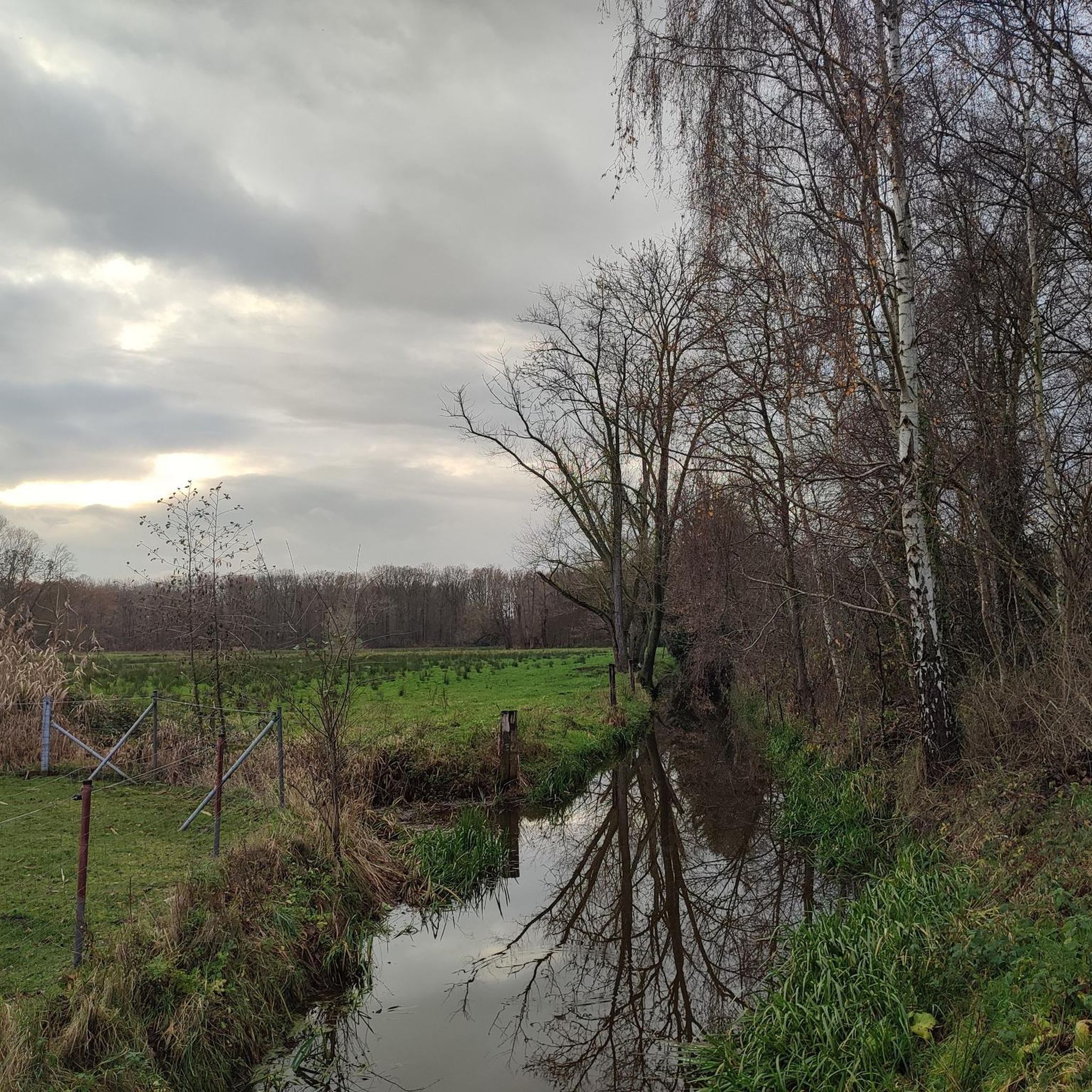
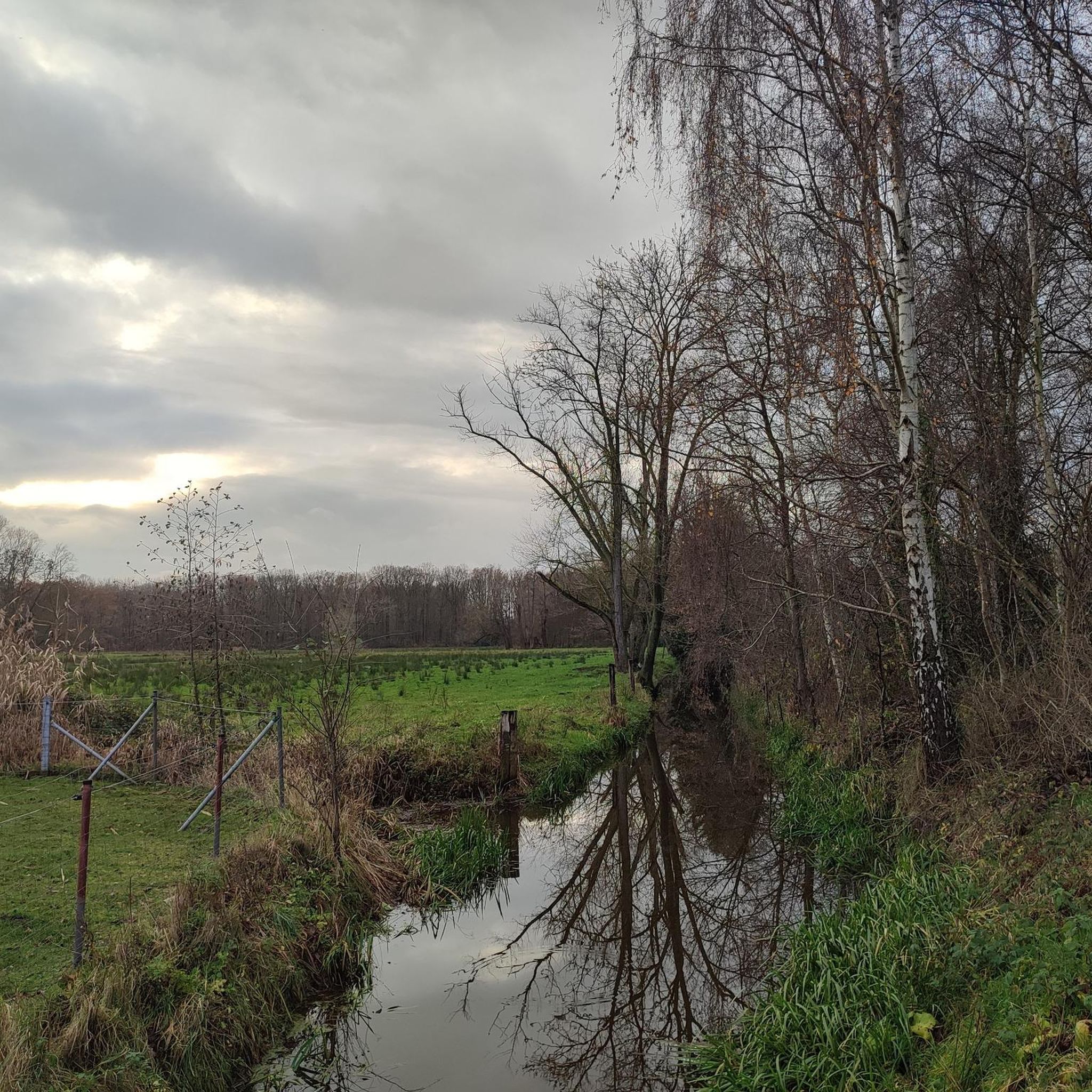
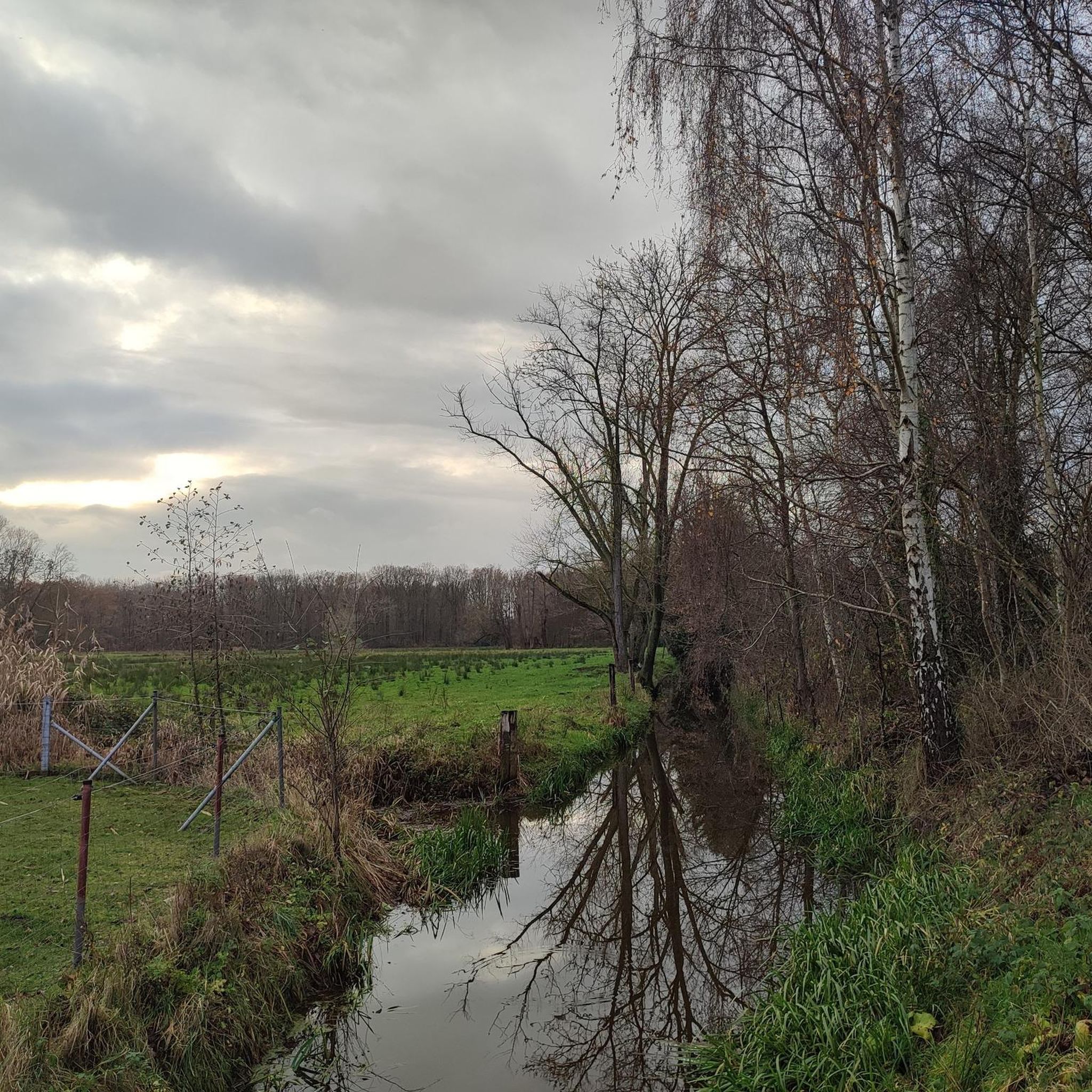
The Kesselse Heide is a provincial green space covering 79 hectares, 61 of which are open to the public. The initial acquisition took place in 1978, and it has been expanded since then. The entrance is located in Nijlen, at Vaerestraat 4. The space is freely accessible daily from sunrise to sunset. There are two ponds in the area. These old wells not only provide a pleasant change of scenery but are also a boon for the many plants and animals. Since 1996, the Kesselse Heide has been a protected landscape. It is one of the few remaining remnants of the once vast Kempen heathlands. The heath is a living community created in our region by humans. Historical agricultural practices created a landscape that has been preserved through human intervention: grazing by sheep, burning the heath, and sod cutting. Sod cutting is the removal of the topsoil and vegetation. A dug-out sod of plants and their roots is a sod. If heathland is left untreated, it will evolve into oak and birch forests, and the typical species associated with a heathland habitat will disappear. In the mid-19th century, the Kesselse Heide—like many other parts of the Kempen region—was afforested with Scots pine, a valuable timber for mining. However, during both World Wars, these sod-covered forests were felled, and from then on, the heathland was able to expand again. Current management consists of removing trees and mechanically cutting sods to give the open heathland every chance to thrive. https://youtu.be/NoPf0HSeFz8
6
0

The Kesselse Heide-Het Goor area consists of a variety of nutrient-poor meadows, pastures, marshes, and ponds, bordered and crisscrossed by enclosed landscape types, and contains numerous landscape elements. The area is characterized by a richly varied and sometimes rare flora. Several historic farm buildings can be found within the area. The Kesselse Heide-Het Goor area, with an area of approximately 2,620 hectares, is located between the villages of Nijlen and Kessel, north of the Lier-Herentals road. The northern border of this area is along Vogelzangstraat, the eastern border along Achterbist, Kannaertsstraat, and Goorstraat. The Grote Steenweg forms the southern border, and the western border is formed by Heidestraat and Vaerestraat. The landscape includes the following topographical areas: "Kannaerdsche Heyde," "Kesselse Heide," "Mol Heide," "Achterbiest," "Het Hoog Bosch," "De Hooge Heide," "Het Armveld," "De Schommers" or "Vissen Eynde," "Het Goor," "Het Goorkasteel," and "Hoge Heyde." Several streams traverse the area, specifically the Goorkantloop, the Elstbeek, the Paddenloop, Blauwe Hoekloop, and the Visbeek. The elevation within the area varies from approximately 5 meters +TAW to approximately 10 meters +TAW. Inventory of Immovable Heritage: Kesselse Heide-Het Goor, https://id.erfgoed.net/erfgoedobjecten/302886
7
0

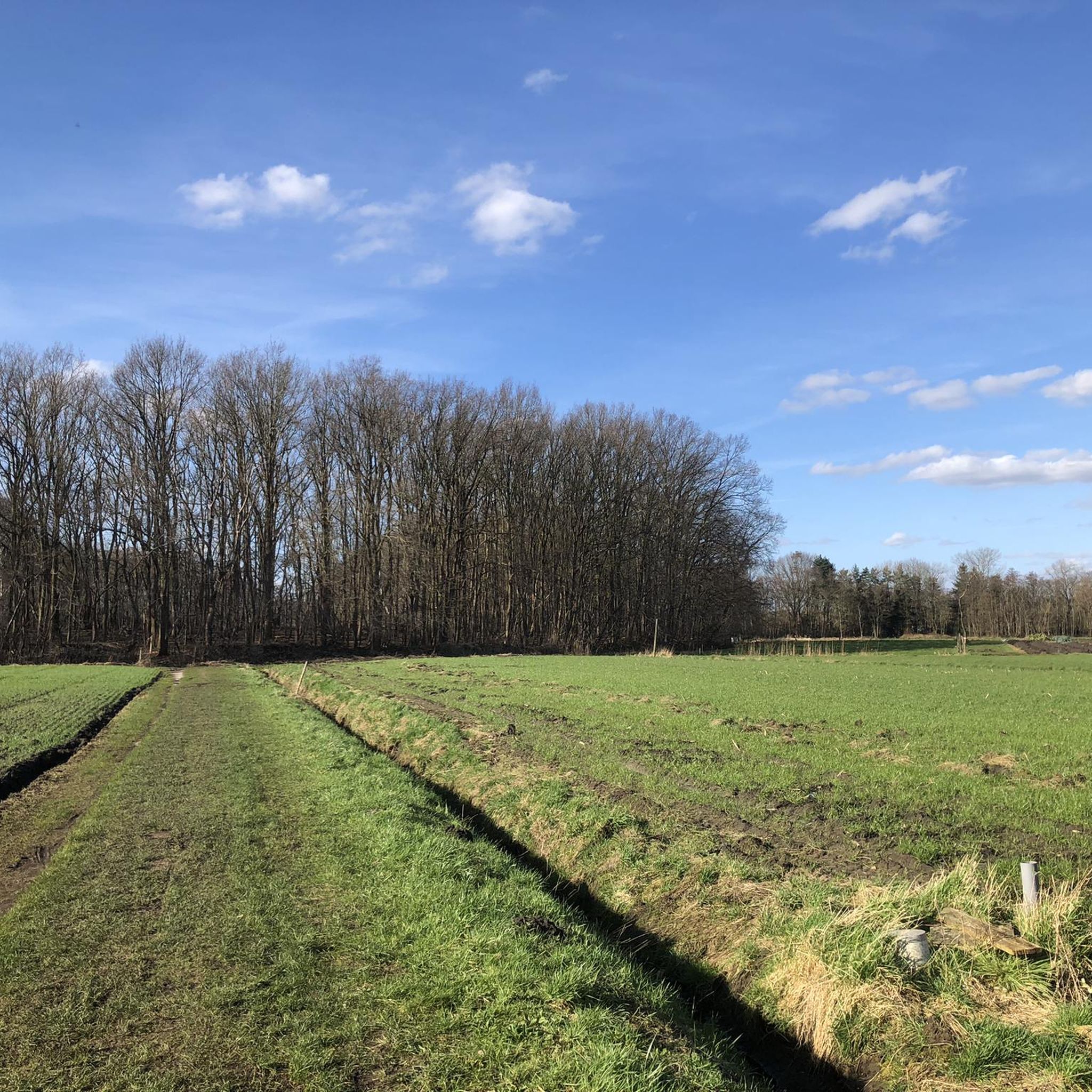
Mispeldonk Nature Reserve is a beautiful and valuable nature reserve in Bonheiden, located in the province of Antwerp. The area is known for its unique ecosystems, rich biodiversity and the natural beauty of the landscape. Here are some key points about Mispeldonk: Location and Size Mispeldonk is located between Bonheiden and the nearby municipality of Rijmenam, along the banks of the Dijle. The area is part of the larger Dijle landscape, which is known for its wet meadows, meandering waterways and rich flora and fauna. Mispeldonk covers approximately 50 hectares and consists of a mix of marshlands, meadows, forests and ponds. Ecological Importance Mispeldonk is a protected nature reserve because of its special ecological value. The area has a typical structure of a flood plain of the Dijle, which makes it an important habitat for many plant and animal species: • Flora: Various rare and protected plant species grow in the area, such as marsh marigolds, cuckoo flowers and water violets. The wet grasslands and marshes provide unique vegetation that is less common elsewhere in the region. • Fauna: Mispeldonk is an important habitat for birds such as the bluethroat, water rail and reed warbler. Amphibians such as the crested newt and the green frog can also be found there. Furthermore, the area is rich in insects, including butterflies and dragonflies, that thrive in the moist environment. Water management The nature reserve plays an important role in local water management. It is located in a flood-prone area along the Dijle and functions as a natural buffer against flooding. In the event of high water levels, the area can collect water and thus help prevent flooding in nearby villages. The nature reserve contributes to the preservation of water quality by filtering and purifying the water through natural processes. Recreation and Experience Mispeldonk is a popular place for nature lovers and hikers. The area is accessible via various hiking trails that lead through the meadows and forests. There are signposted routes that give walkers the chance to explore the diversity of the landscape and enjoy the peace and quiet of nature. Birdwatchers enjoy visiting the area because of the variety of bird species that can be seen, especially during the breeding season and the migratory bird periods. Management and Protection The nature reserve is managed by Natuurpunt, a Belgian organisation that is committed to nature conservation. Natuurpunt carries out management work to protect biodiversity and maintain the landscape. This includes mowing grasslands, removing invasive plant species and maintaining the walking paths. There is collaboration with local farmers for nature-friendly agriculture, whereby meadows are extensively grazed or mowed, so that they remain suitable for meadow birds and rare plants.
7
1

Very nice walk with a lot of variety in landscapes and terrain.
3
0

Beautiful walking area in nature
3
0

The "Samenvloeiing van Dijle en Nete = Rupel" is a place in Belgium which is located where the rivers Dijle and Nete join to form the river Rupel. It is located in the Flemish region, in the province of Antwerp, in the city of Rumst. This site is known for its natural beauty and for being a meeting point between the waters of the two rivers. The confluence of the rivers creates a striking and fascinating landscape, with large expanses of water joining and mixing. The area around the Samenvloeiing van Dijle en Nete = Rupel also offers opportunities to enjoy the surrounding nature, with scenic trails and green areas that invite for walks and hikes. It's a popular spot with nature lovers and those looking to spend time outdoors.
5
0
In the Kempen region, heathland is a cultural landscape that developed long ago through the frequent grazing of sheep on poor sandy soils. Since then, heathland has become valuable and rare. The Kesselse Heide provincial green space is all that remains of a much larger heathland area. Since 2023, the Kesselse Heide can also be explored as a heritage site. Various information boards provide information on folklore, landscape features, the wartime history, and more. You can find some photos of these new boards in the photo section of this highlight.
8
2

Watch out for rainy weather. The paths can be under water.
8
0
Frequently Asked Questions
What types of natural monuments can I explore around Sint-Katelijne-Waver?
The region around Sint-Katelijne-Waver offers a diverse range of natural monuments. You can discover ancient woodlands like the Hondsbossen, Gasthuisbossen, and Vossenbergbos, which are part of the historic Waverwoud. There are also significant nature reserves such as Mispeldonk Nature Reserve, known for its varied ecosystems, and the protected Domein Roosendael. Additionally, you can visit unique geological features like the Confluence of the Dijle and Nete = Rupel, where two rivers meet to form another.
Are there any family-friendly natural monuments in the area?
Yes, several natural monuments are great for families. Kesselse Heath is particularly popular, offering expansive sandy areas that children love, often described as the ultimate sandbox. The Mispeldonk Nature Reserve and the Confluence of the Dijle and Nete = Rupel also provide accessible and engaging environments for all ages to enjoy nature.
What kind of hiking opportunities are available near these natural monuments?
Sint-Katelijne-Waver offers excellent hiking opportunities, especially within its natural monuments. You can find easy to moderate trails through the Hondsbossen, Gasthuisbossen, and Vossenbergbos, which are remnants of the ancient Waverwoud. For more detailed routes, explore the hiking guide for the area: Hiking around Sint-Katelijne-Waver.
Can I go cycling near the natural monuments?
Absolutely. The region is well-suited for cycling. You can enjoy road cycling routes that often pass by or through natural areas, or try gravel biking for a more adventurous experience. Check out the dedicated guides for more information: Road Cycling Routes around Sint-Katelijne-Waver and Gravel biking around Sint-Katelijne-Waver.
Are there any natural monuments with historical significance?
Yes, the area blends nature with history. The Hondsbossen, Gasthuisbossen, and Vossenbergbos are part of the historic Waverwoud, with the Gasthuisbossen even containing bunkers from wartime. Additionally, the Kruiskensberg Pilgrimage Site is a natural monument with deep historical and religious roots, featuring ancient wells and chapels in a forested setting.
What unique natural features can I expect to see?
You can expect to see a variety of unique natural features. Kesselse Heath preserves typical heath vegetation, with a mix of scrub heather, forests, and sandy plains. Mispeldonk Nature Reserve boasts poor grasslands, hay meadows, moist deciduous forests, and restored heathland, with the Boeimeerbeek meandering through. The Vossenbergbos, though small, is remarkably diverse with amphibian ponds and a rich forest floor.
Is there wildlife to observe in these natural areas?
Many of the natural monuments are rich in wildlife. Mispeldonk Nature Reserve is an important habitat for birds like the kingfisher, bluethroat, and reed warbler, as well as amphibians such as the crested newt. The Vossenbergbos features an amphibian pond, home to frogs, toads, and sticklebacks, and its open spaces attract various butterflies.
What is Domein Roosendael and what makes it special?
Domein Roosendael is a protected nature reserve in Sint-Katelijne-Waver, recognized for its rare plants, insects, and birds. It offers a chance to observe unique flora and fauna in a carefully preserved environment. The domain is open year-round for walkers and cyclists, and guided tours can be arranged to learn more about its ecological importance.
Are there any viewpoints or scenic spots among the natural monuments?
Yes, several spots offer scenic views. The Confluence of the Dijle and Nete = Rupel provides a striking landscape where the two rivers join, creating large expanses of water. Many of the forested areas, like the Hondsbossen, offer tranquil woodland walks and opportunities to experience unspoiled nature.
What is The Putten van Lacourt?
The Putten van Lacourt is a natural monument featuring a lake, which is particularly popular on weekends. It's a serene spot where you can observe swimming birds and enjoy the peaceful surroundings. Visitors should be mindful that paths can become wet during rainy weather.
What is the best time of year to visit the natural monuments around Sint-Katelijne-Waver?
The natural monuments offer beauty throughout the year. Spring is particularly vibrant, with the forest floor of areas like Vossenbergbos carpeted in wild garlic and butterflies frequenting open spaces. Autumn brings a beautiful color palette to the woodlands. Summer is ideal for longer walks and cycling, while winter offers a quiet, serene experience, though some paths might be wet.
Are there any natural areas that are part of a larger historical landscape?
Yes, the Hondsbossen, Gasthuisbossen, and Vossenbergbos collectively form part of the historic Waverwoud. This ancient forest was once a wild and marshy area between the Nete and Dijle rivers, and these remnants preserve its historical character and ecological diversity.
Most popular routes around Sint-Katelijne-Waver
Most popular attractions around Sint-Katelijne-Waver

Get inspired with the komoot mobile app


Explore more
Extend your search for the best caves by checking out these guides of the top ones around Sint-Katelijne-Waver:
