Top 18 Natural Monuments around Sint-Laureins
Best natural monuments around Sint-Laureins offer diverse natural landscapes in East Flanders, Belgium. The region features a network of creeks and historical ramparts that have become significant natural areas. With 18 natural monuments, Sint-Laureins provides opportunities to explore unique ecosystems and historical sites integrated with nature. These areas are characterized by their water features, varied flora, and wildlife.
Best natural monuments around Sint-Laureins
- The most popular natural monuments is Boerekreek, a lake that is the largest creek in the…
Last updated: June 28, 2026
Outer Ramparts of Sluis
Highlight • Historical Site
Translated by Google •
Tip by

Boerekreek
Highlight • Lake
Translated by Google •
Tip by

Sign up now to discover places like this
Get recommendations on the best single tracks, peaks, & plenty of other exciting outdoor places.
Sign up for free
Oostpolder Creek
Highlight • Lake
Creek contains brackish water. A creek where the eel feels at home.
Translated by Google •
Tip by

Het Vuil Poelke
Highlight • Natural
Translated by Google •
Tip by
The Gezusterkreken
Highlight • Lake
The Gezusterskreeks consist of the Grote Kil and …
Translated by Google •
Tip by
Sign up for free to discover even more natural monuments around Sint-Laureins.
Sign up for free
Already have an account?
Start today with a free account
Your next adventure awaits.
Login or Signup
Popular around Sint-Laureins



Tips from the Community

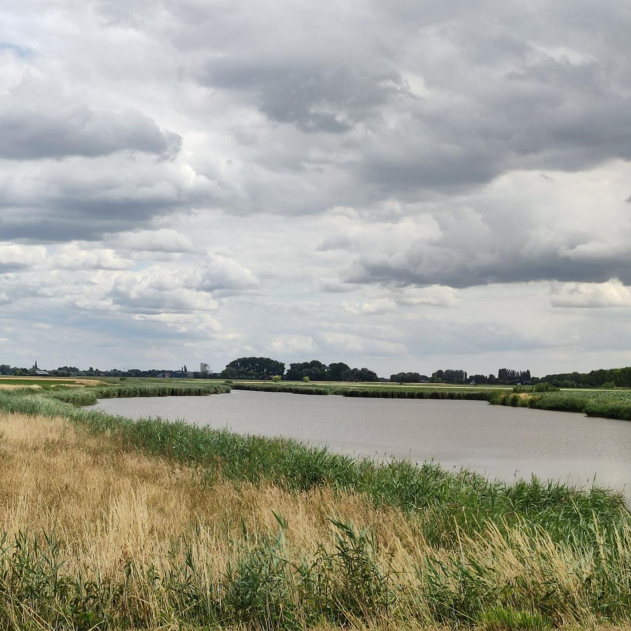
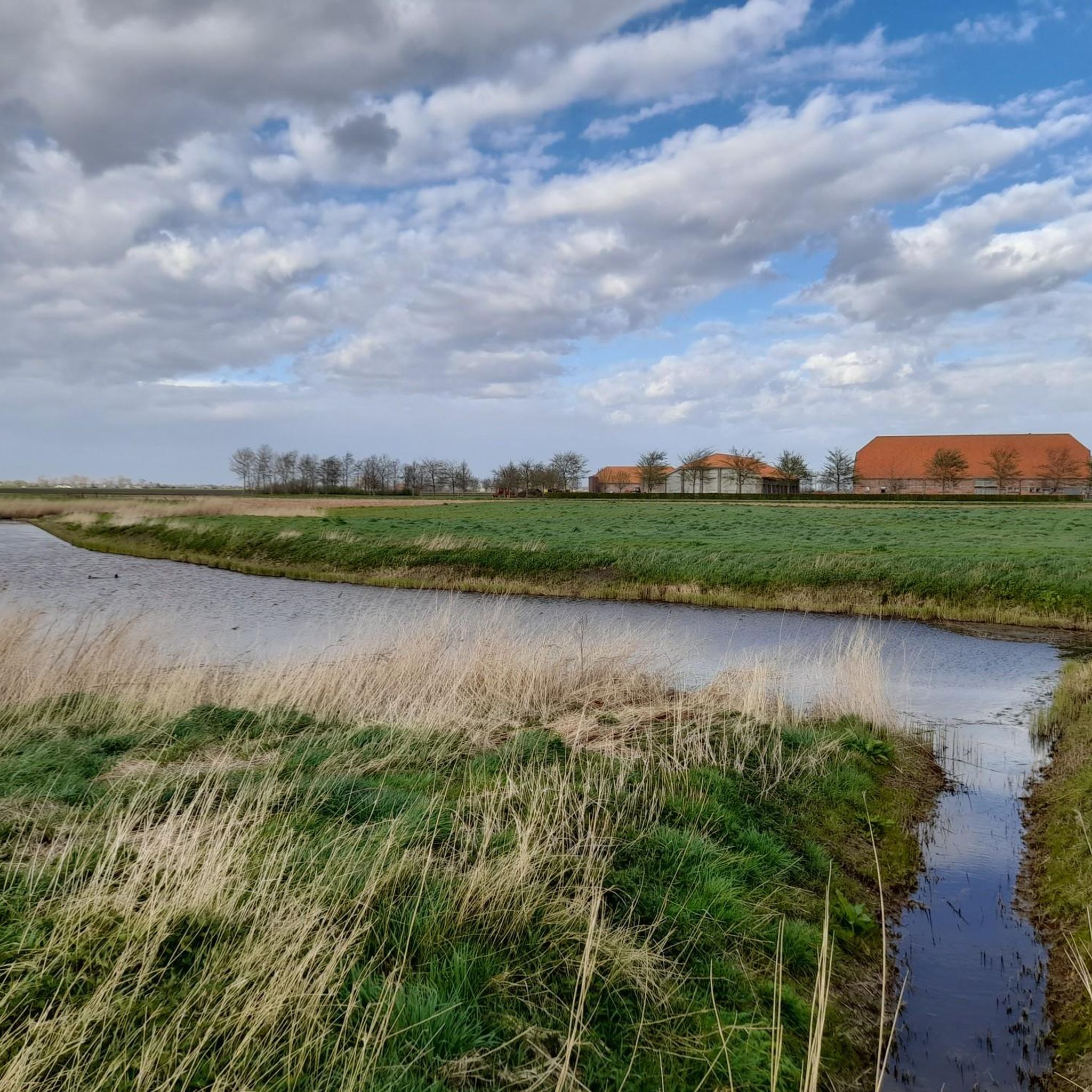
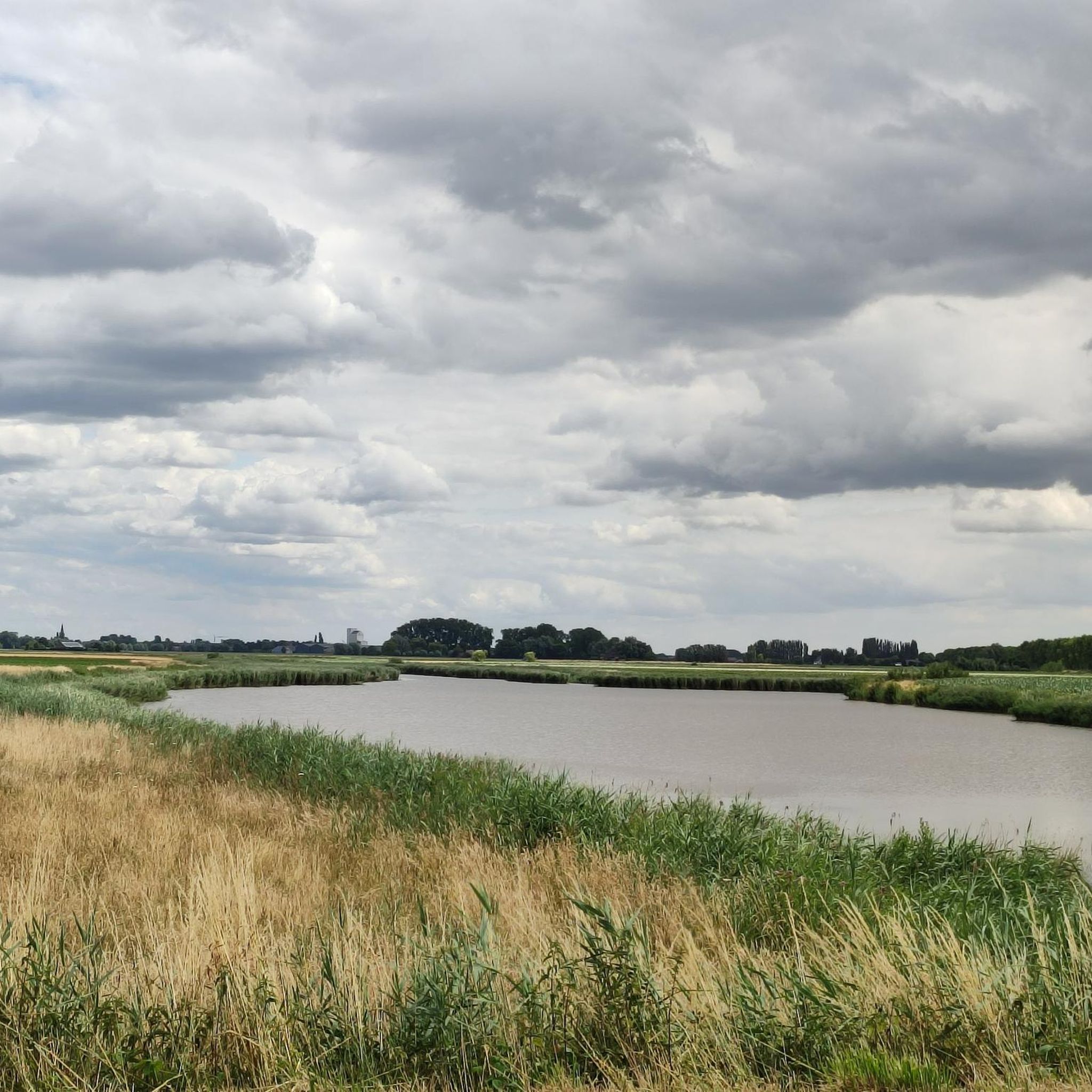
This creek connects to the Boerekreek to the west and to the Oudemanskreek to the east. It contains brackish water. The creek lies directly north of the Leopold Canal. Due to silting, the creek could no longer drain, which caused problems for agriculture. Therefore, around 2000, the drainage to the Leopold Canal on the east side was improved, the creek was also dredged, and the banks were reinstated to the nature reserve. (Wikipedia)
7
0

Just before Sluis, quiet road.
0
0

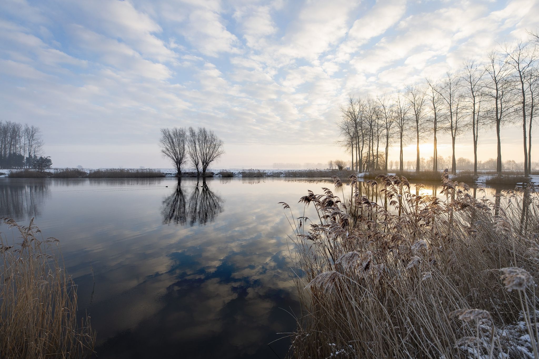
The famous Graaf-Jansdijk once cut through the landscape here, offering protection against storm surges. For years, the area served as arable land, until Natuurpunt converted it into grassland. A flower-rich hay meadow is now developing around the Vuil Poelke, alternating with a flower-rich reed land. You can see a gradual transition from moist to very wet zones. Small landscape elements receive a lot of attention here: around the Vuil Poelke, the natural value of the pollard willows increases year after year. They develop into gnarled old trees, appreciated by everyone. Simply enjoy the historic landscape in restoration. Source: information can be read on site.
6
0
Creek, located next to the elevated roadway to Sint-Jan-in-Eremo. Creek contains brackish water. A creek where the eel feels at home.
8
0


It is a magnificent walking route in which you pass many creeks. Time can be made for a stop along the creeks for a picnic or rest moment with a beautiful view. Recommended!
0
0
The Gezusterskreken form a creek system in the north of the East Flemish municipality of Assenede in the Meetjesland (Meetjeslands creek area). The Gezusterskreeks consist of the Grote Kil and the Kleine Kil, which are in line with each other but are separated by a dam, over which the Gezustersstraat runs. The creeks are located in the Sint-Albertpolder, which was diked in 1612, during which the Scheurhoekdijk was constructed. In 1663 and again in 1690, the Sint-Pieterspolder was diked, causing the Scheurhoekdijk to lose its function as a primary sea defense. The current Belgian-Dutch border here follows the route of the Scheurhoekdijk. The area is European protected as part of the Natura 2000 area 'Polders' Source Wikipedia
1
0
The Red Light District of Sluis is interesting because of its natural and cultural-historical values. The ramparts date from the 14th century. Sluis flourished at that time as a trading city due to its location on the Zwin. The Zwin was an important estuary and waterway. At the end of the 15th century, Sluis' trade and prosperity declined sharply due to the silting up of the Zwin. But Sluis remained important as a fortress during the Eighty Years' War (1568 to 1648). Nowadays, nature flourishes here. Many characteristic plants grow there and various bird species breed there. In addition, this is one of the few places where you can find the rare tree frog. There is plenty to see and experience during your visit to the Red Light District of Sluis. More information at https://www.hetzeeuwselanden.nl/natuurgebied/wallen-van-sluis
5
0
Frequently Asked Questions
What kind of natural monuments can I expect to find around Sint-Laureins?
Sint-Laureins is known for its unique landscape featuring a network of creeks, lakes, and historical ramparts that have evolved into significant natural areas. You'll find diverse ecosystems, particularly around water bodies, and sites with cultural-historical value integrated with nature.
What are some of the most notable natural monuments in Sint-Laureins?
Among the most popular is Boerekreek, the largest creek in the Meetjesland region, known for its birdlife. Another significant site is the Outer Ramparts of Sluis, a 14th-century historical site now home to diverse plant and animal species, including the rare tree frog. The Oostpolder Creek, with its brackish water, is also a popular spot, especially for eels.
Are there any historical natural monuments in the area?
Yes, the Outer Ramparts of Sluis are a prime example, dating back to the 14th century when Sluis was a flourishing trading city. These ramparts, once part of a fortress, now host diverse plant and animal species. Another historical natural monument is the Boardwalk Over the Water at Groote Gat, where forts from the Eighty Years' War are still visible within a varied natural landscape.
What wildlife can be observed in the natural monuments of Sint-Laureins?
The water-rich environment supports various species. At Boerekreek, you might spot mallards, white-fronted geese, buzzards, and kestrels. The Outer Ramparts of Sluis are one of the few places to find the rare tree frog, alongside various bird species. Oostpolder Creek is particularly known as a habitat for eels.
Are the natural monuments around Sint-Laureins family-friendly?
Many of the natural monuments are suitable for families. For instance, Boerekreek, Oostpolder Creek, and Het Vuil Poelke are categorized as family-friendly, offering accessible natural experiences. The Outer Ramparts of Sluis also provide an engaging historical and natural outing for all ages.
Are the natural monuments in Sint-Laureins accessible for visitors with dogs?
While specific dog policies can vary by exact location within nature reserves, many natural areas in Sint-Laureins, including the creeks and ramparts, are generally dog-friendly, especially on leash. It's always advisable to check local signage for any specific restrictions in protected areas.
What is the best time of year to visit the natural monuments in Sint-Laureins?
The natural monuments can be enjoyed year-round. Spring and summer offer lush greenery and active wildlife, while autumn brings beautiful colors. Winter can also be a unique time for quiet walks and birdwatching, especially around the creeks. The 'Mindful Walk' at Boerekreek is noted as particularly popular in winter.
Are there opportunities for walking or hiking near the natural monuments?
Yes, Sint-Laureins offers various walking and running trails that allow you to explore the natural monuments. You can find routes like the 'Boerekreek – Leopold Canal Foot Ferry loop' or the 'Leopold Canal Foot Ferry – Bentillekreek loop'. For more options, explore the running trails around Sint-Laureins.
Can I go cycling around the natural monuments in Sint-Laureins?
Absolutely. The flat landscape and network of creeks make Sint-Laureins ideal for cycling. There are numerous routes, such as the 'Vrouwkenshoekkreek – Hollandersgatkreek loop' or the 'Sluis Town Hall – Cycling Path Along the Water loop'. Discover more cycling options in the cycling guide for Sint-Laureins.
Is parking available at the natural monuments in Sint-Laureins?
Parking is generally available near the main natural monuments and trailheads. For example, at Boerekreek, there's a sports center with parking facilities. It's always a good idea to check specific locations for designated parking areas.
What are some lesser-known natural spots or 'hidden gems' in Sint-Laureins?
Beyond the main attractions, Het Vuil Poelke is a charming nature reserve, despite its name, offering a restored historic landscape with flower-rich meadows and reed land. The Oostpolder Creek, while connected to Boerekreek, offers a distinct experience with its brackish water and eel habitat, and its banks have been reinstated as a nature reserve.
Are there cafes or places to eat near the natural monuments?
While the natural monuments themselves are often secluded, you'll find cafes and restaurants in the nearby villages and towns within the Sint-Laureins municipality. These establishments offer opportunities to enjoy local cuisine and refreshments before or after your exploration.
Most popular routes around Sint-Laureins
Most popular attractions around Sint-Laureins

Get inspired with the komoot mobile app


Explore more
Extend your search for the best caves by checking out these guides of the top ones around Sint-Laureins:
