Top 11 Mountain Passes around Natz-Schabs - Naz-Sciaves
Best mountain passes around Natz-Schabs - Naz-Sciaves offers access to diverse mountainous regions in South Tyrol. This high plateau serves as a central base for exploring areas like the Plose Massif, the Dolomites, and the Rodenecker and Lüsner Alpine Pastures. Its location near Brixen and proximity to the Brenner Pass makes it a strategic starting point for mountain experiences. The region provides a variety of routes for hiking and cycling.
Best mountain passes around Natz-Schabs - Naz-Sciaves
- The most popular…
Last updated: June 28, 2026
Climb to Würzjoch Pass
Highlight (Segment) • Climb
Translated by Google •
Tip by

Descent to Klausen via Passo delle Erbe
Highlight (Segment) • Mountain Pass
Translated by Google •
Tip by

Sign up now to discover places like this
Get recommendations on the best single tracks, peaks, & plenty of other exciting outdoor places.
Sign up for free
Valler Jöchl
Highlight • Mountain Pass
Translated by Google •
Tip by

Plose Mountain near Brixen
Highlight • Summit
Translated by Google •
Tip by

View of Valser Joch Valley
Highlight • Viewpoint
But who stops here and comes over, should definitely continue to Stoanamandl. There, …
Translated by Google •
Tip by

Sign up for free to discover even more mountain passes around Natz-Schabs - Naz-Sciaves.
Sign up for free
Already have an account?
Start today with a free account
Your next adventure awaits.
Login or Signup
Popular around Natz-Schabs - Naz-Sciaves
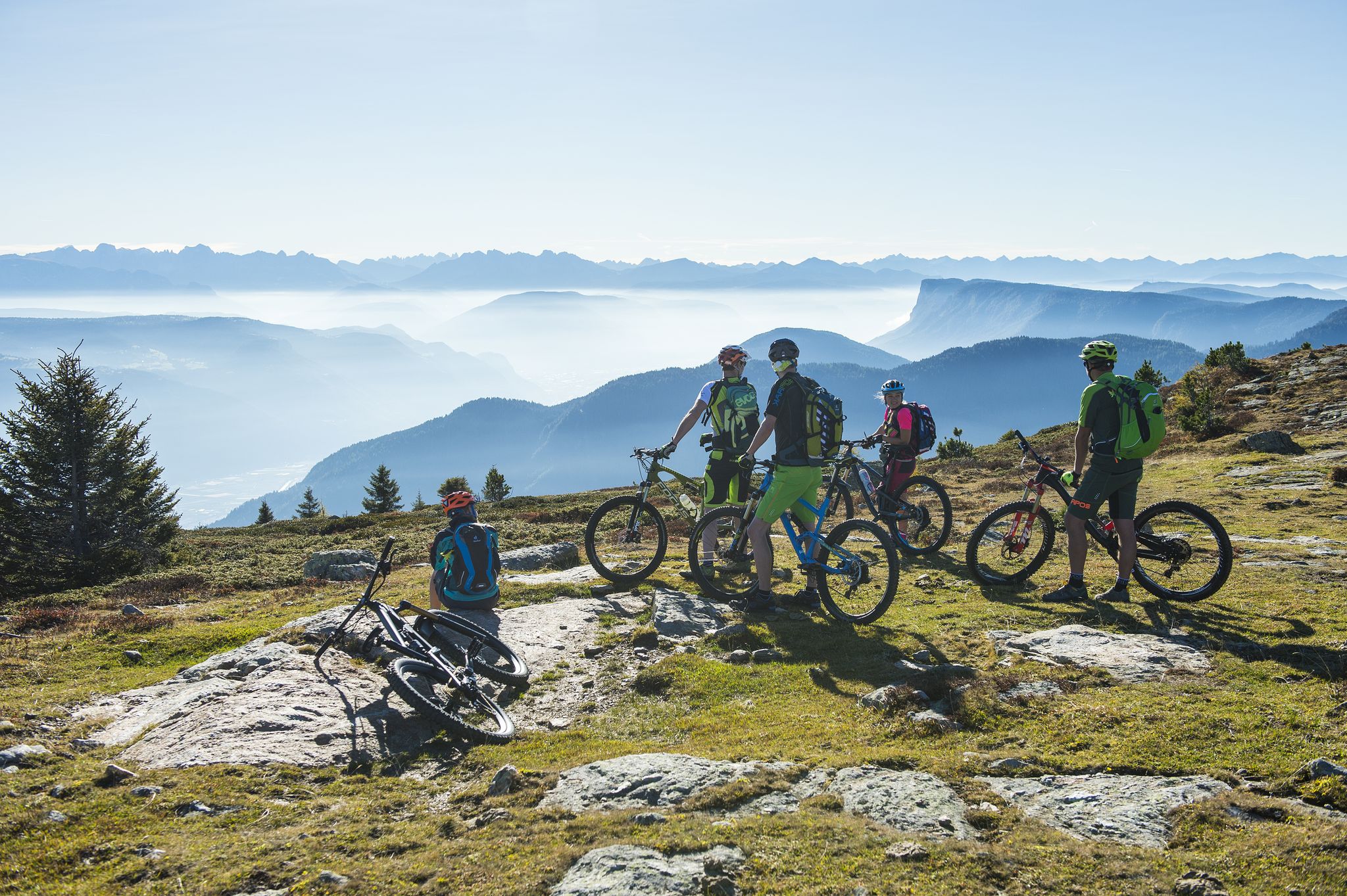
On the trails, get set, go! South Tyrol's BikeHotels are waiting for you
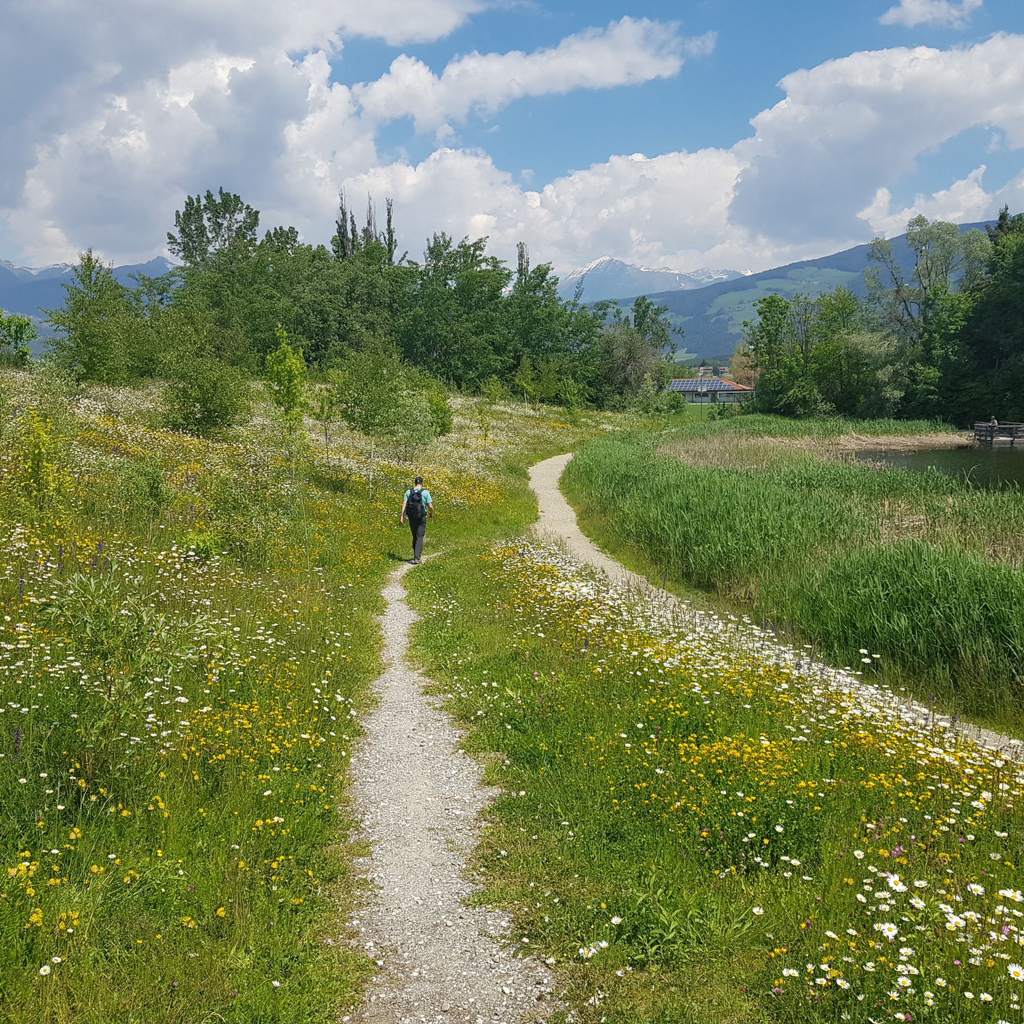
Hiking around Natz-Schabs - Naz-Sciaves
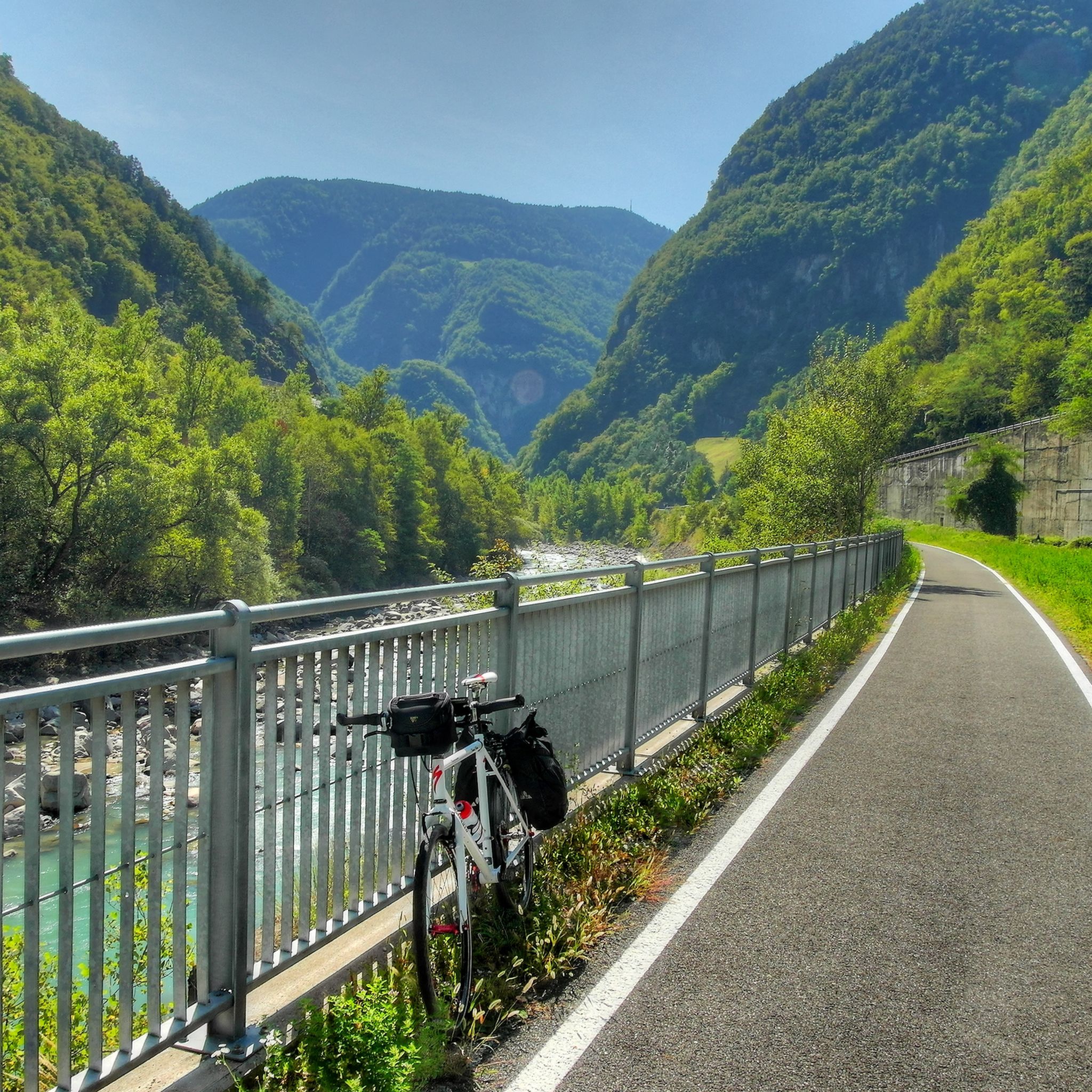
Cycling around Natz-Schabs - Naz-Sciaves
MTB Trails around Natz-Schabs - Naz-Sciaves
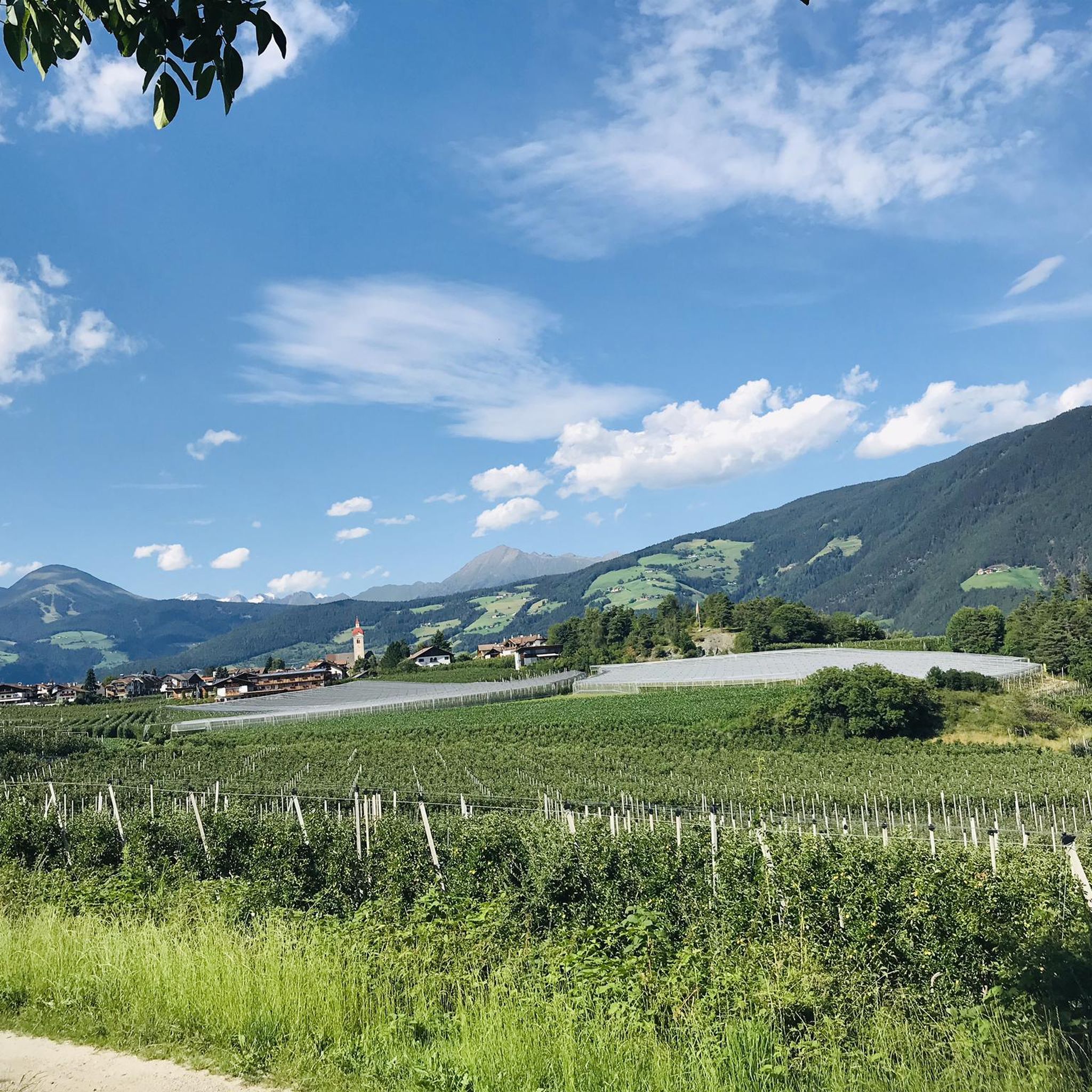
Road Cycling Routes around Natz-Schabs - Naz-Sciaves
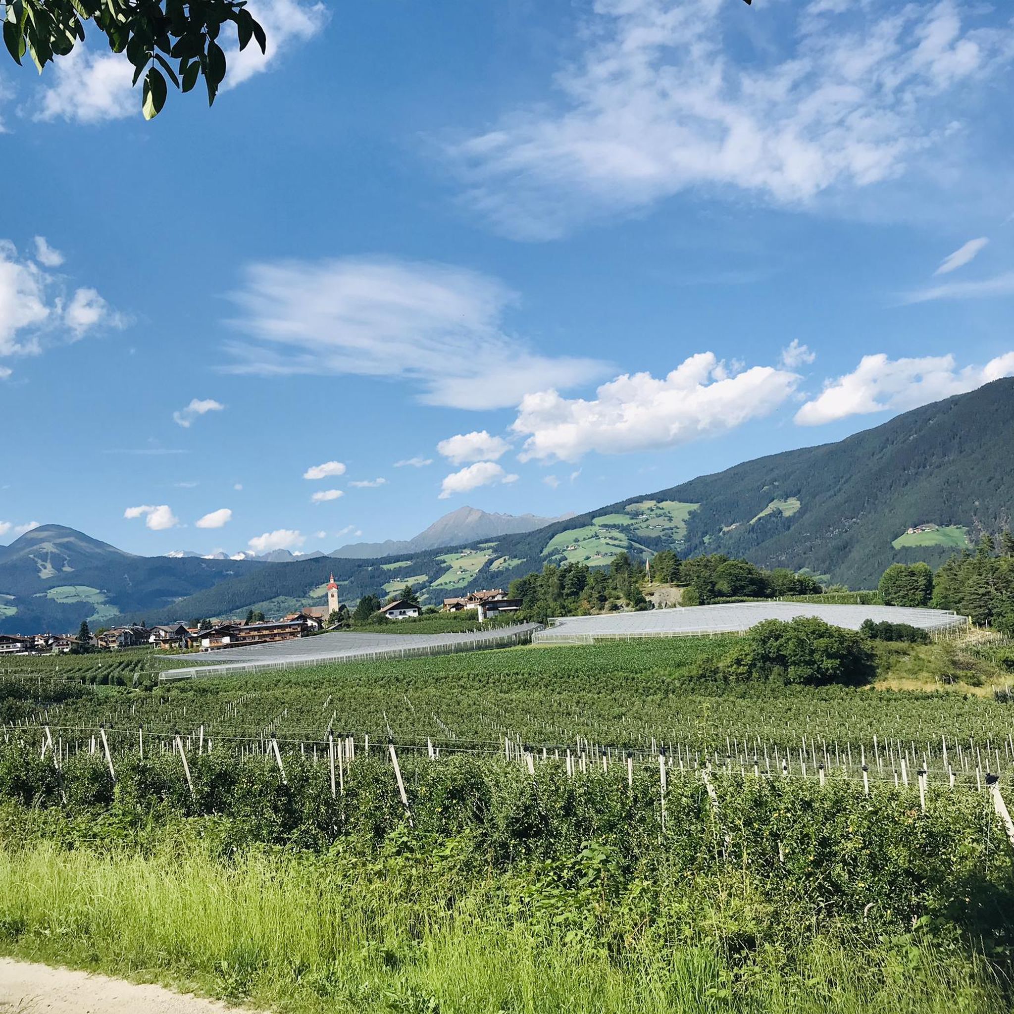
Running Trails around Natz-Schabs - Naz-Sciaves

Mountain Hikes around Natz-Schabs - Naz-Sciaves
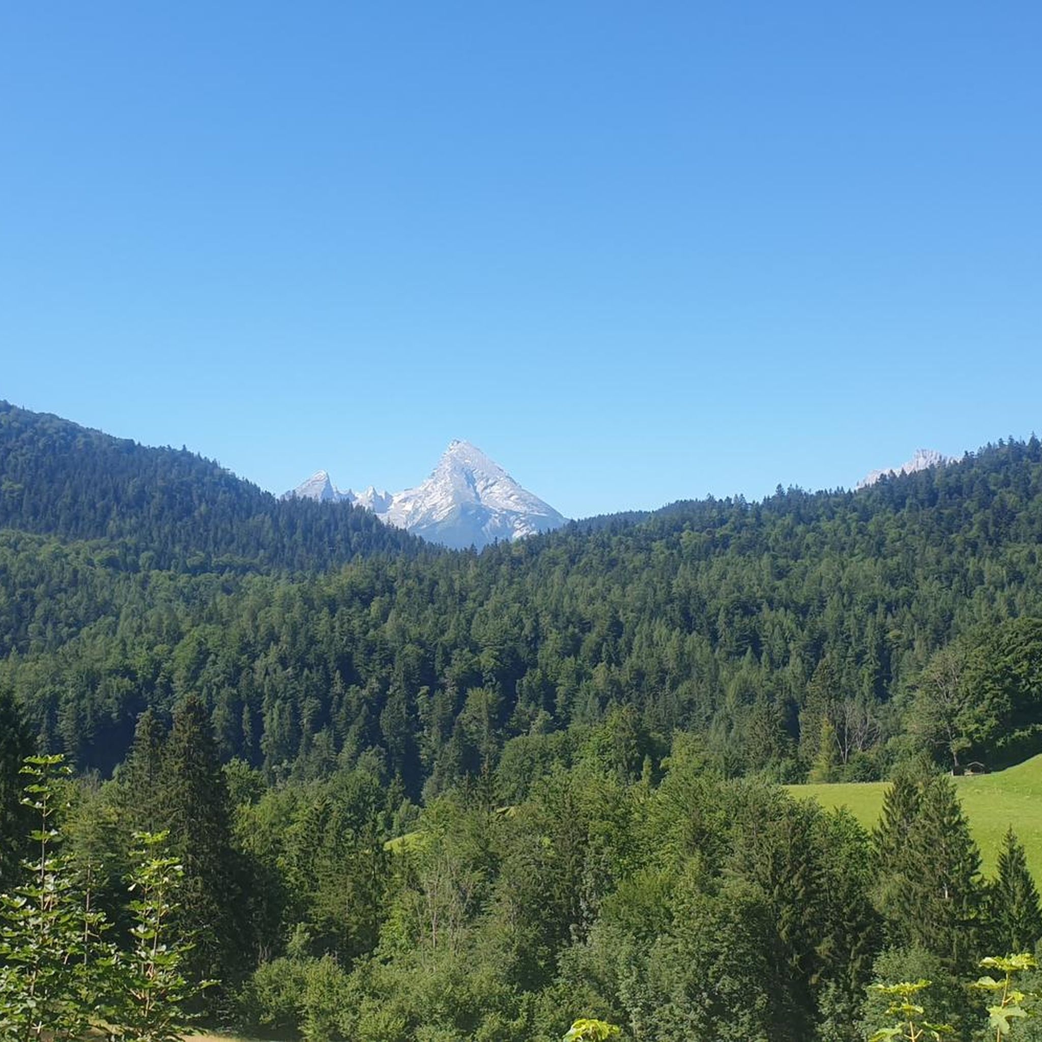
Gravel biking around Natz-Schabs - Naz-Sciaves
Other adventures around Natz-Schabs - Naz-Sciaves

Tips from the Community

The tour offers many views and beautiful trails for the descent
0
0

If you're only planning a one-day hike to the Würzjoch, I recommend the western approach from Brixen, St. Andrä. The approach from Lüsen is definitely worth the extra climb as an alternative. The gradient is undoubtedly very steep for much of the way, but I didn't see the 18-19% mentioned here, at least not on my Wahoo today. The biggest challenge lies in the first half, which is always an advantage in my opinion. The road surface varies greatly from "good" to "disastrous." Traffic was light, so you're mostly alone. (August, peak season) And I don't want to offend anyone, but due to a lack of transportation while on vacation, I (46 years old, averagely "talented" at best) rode up on a rental road bike (11-32 cassette) from the local bike shop (10 kg) without having to dismount. Go for it!!
0
1

A beautiful but challenging climb through a great valley along a mountain stream with almost no traffic. There are small ramps of up to 18%, but also short breaks (I have to disagree with the previous speaker on this point). As far as the road surface is concerned, I can only recommend the route as an ascent. It is only moderately good and in many places it is wet from small streams even in dry weather. This, together with the recurring wooden bridges over the mountain stream, reduces the fun of a fast descent. But I would always prefer the route for the ascent. Quote @wolfi: "The reward - hardly any traffic and very beautiful views."
3
0

great tour with many trails only for good bikers...
0
0

The Passo delle Erbe is a pass with 5 slopes, 2 on its east side and 3 on its west side, although it is true that there may be some more slopes given the multitude of small roads that exist throughout the valleys. They are the following: - Northeast slope by Onies - East slope from Sant Martino in Badia - West slope through the Val di Funes - Northwest slope from Bressanone and passing through Luson - West slope from Bressanone passing through the town of Gores In this case, it is the western slope of the Passo delle Erbe, which crosses the Val di Funes and the Passo Eores. A spectacular slope, like the others. Until the town of San Pietro, the road is wide and fast moving. We must be careful! It climbs steadily with some rest. Before reaching San Pietro, there is a stretch of 2 km that is practically flat. From the town onwards everything changes. The road narrows, although it still maintains perfect asphalt, and becomes steep, with a very hard 5 km stretch. Once you have overcome this very difficult section, you will cross a beautiful section where riding the bicycle is magical and delicious.
0
1

There is no way around Valler Jöchel. Here the paths to the Fane Alm, the Panorama circular route and the Nockalm separate.
1
1

Sometimes the way is the goal. If not Rossal🍝🍷🍻
1
0

A great view of the valley. It's quite easy to get to with the mountain railway. The plain up here is easy to drive on on the forest roads. But be careful, there are also many hikers here.
0
0
Frequently Asked Questions
What are some notable mountain passes or viewpoints accessible from Natz-Schabs - Naz-Sciaves?
From Natz-Schabs, you can easily reach several significant mountain areas. A popular viewpoint is View of Valser Joch Valley, offering expansive panoramas over the Valser valley towards Gitschberg and the Dolomites. Another key transition point is Valler Jöchl, which serves as a starting point for paths to Fane Alm and the Panorama circular route. For cyclists, the challenging Climb to Würzjoch Pass is a notable route.
Are there challenging climbs for experienced cyclists or hikers near Natz-Schabs - Naz-Sciaves?
Yes, for those seeking a challenge, the Climb to Würzjoch Pass is highly recommended. It features ramps up to 18% through a scenic valley with minimal traffic. Another demanding route is the Ascent to Vallerjöchl from Mauls, which involves a crunchy climb of almost 1000 vertical meters, including asphalt, gravel, and singletrack sections.
Where can I find the best panoramic views of the Dolomites and surrounding valleys?
For breathtaking panoramic views, head to the View of Valser Joch Valley. From here, you can see the Valser valley, Gitschberg, and the Dolomites. The Plose Massif, easily accessible from Natz-Schabs, also offers stunning vistas, with the Plose Hut at 2,447 meters providing views of around 100 peaks on a clear day.
What is the best time of year to visit the mountain passes around Natz-Schabs - Naz-Sciaves?
The mild climate of Natz-Schabs allows for outdoor activities year-round. Spring is ideal for hikes amidst apple blossoms, while autumn offers beautiful cycling opportunities. Summer is perfect for hiking and biking the passes, and winter transforms the nearby mountains into ski areas. For hiking and cycling the passes, late spring to early autumn (May to October) generally offers the most favorable weather conditions.
Are there family-friendly mountain passes or activities suitable for children?
While specific passes might be challenging, the areas accessible from Natz-Schabs offer family-friendly options. The Rodenecker and Lüsner Alpine Pastures are within easy reach and provide opportunities for enjoyable hiking. The Plose mountain area, near Brixen, also features activities suitable for families, including hiking and the Brixen Bike Park.
Can I bring my dog on hiking trails near the mountain passes?
Many hiking trails in the South Tyrol region are dog-friendly, provided dogs are kept on a leash, especially in protected areas or near grazing animals. It's always advisable to check local regulations for specific trails or nature reserves. The Rodenecker and Lüsner Alpine Pastures, for instance, are generally welcoming to dogs.
What other outdoor activities can I do near the mountain passes around Natz-Schabs - Naz-Sciaves?
Beyond exploring mountain passes, Natz-Schabs is an excellent base for various outdoor activities. You can find numerous running trails, MTB trails, and road cycling routes. Popular options include MTB tours like the 'Valler Jöchl – Jochtal Hut loop' or road cycling routes such as the 'Castel Velturno – Neustift Abbey loop'.
Are there specific hiking trails near these mountain passes?
Yes, the region offers diverse hiking opportunities. From Valler Jöchl, you can access paths leading to the Fane Alm and the Panorama circular route. The Rodenecker and Lüsner Alpine Pastures also provide extensive hiking trails, including the ascent to Cima Lasta (Astjoch) for panoramic views. You can explore more options on the running trails guide, which includes many suitable for hiking.
How can I access the mountain passes, and is public transport available?
Natz-Schabs is centrally located, making it a good starting point for accessing various mountain areas by car. While specific public transport routes directly to all mountain passes might vary, local bus services connect Natz-Schabs to larger towns like Brixen, from where further connections to mountain regions may be available. For some viewpoints like the View of Valser Joch Valley, mountain railways can provide easy access.
What kind of terrain can I expect on the mountain passes around Natz-Schabs - Naz-Sciaves?
The terrain varies significantly. You'll find well-paved roads suitable for road cycling, such as parts of the Climb to Würzjoch Pass, though some sections can be wet or have moderate road surfaces. Other routes, like the Ascent to Vallerjöchl from Mauls, include asphalt, gravel paths, and even singletrack sections requiring some pushing. Hiking trails range from easy paths on alpine pastures to more challenging, steep ascents.
Are there any amenities like cafes or accommodation near the mountain passes?
Yes, many mountain areas and passes in South Tyrol have huts (Hütten) or refuges that offer refreshments, meals, and sometimes overnight accommodation. For example, the Plose Hut provides food and drink. In the Rodenecker and Lüsner Alpine Pastures, you'll find various alpine huts. It's always a good idea to check opening times, especially outside peak season.
What makes the mountain passes around Natz-Schabs - Naz-Sciaves unique?
The mountain passes and surrounding areas near Natz-Schabs offer a unique blend of challenging climbs, scenic viewpoints, and diverse natural landscapes. Their proximity to the Brenner Pass and central location in South Tyrol make them easily accessible, providing a gateway to the Dolomites, the Plose Massif, and tranquil alpine pastures. The region is appreciated by the komoot community for its variety and stunning vistas.
Most popular routes around Natz-Schabs - Naz-Sciaves
Most popular attractions around Natz-Schabs - Naz-Sciaves

Get inspired with the komoot mobile app


Explore more
See even more epic mountain passes by checking out these guides around Natz-Schabs - Naz-Sciaves:
