Top 16 Natural Monuments around Mazzo Di Valtellina
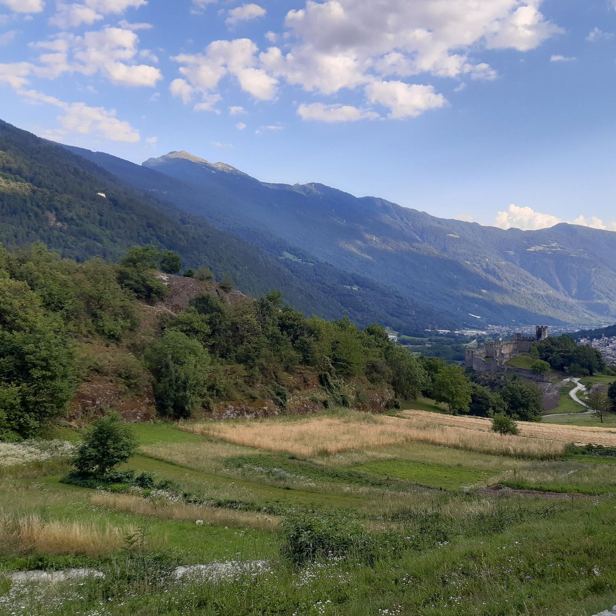
Natural monuments around Mazzo Di Valtellina are characterized by an alpine environment, offering diverse natural features. The region is situated at the foot of the Mortirolo Pass, providing panoramic views and challenging terrain. Its landscape includes alpine pastures, chestnut and conifer woodlands, and agricultural areas with orchards. These natural features contribute to the area's appeal for outdoor activities and exploration.
Best natural monuments around Mazzo Di Valtellina
- The most popular natural monuments is Castello Visconteo and Rupe Magna, a…
Last updated: June 28, 2026
Lake Poschiavo
Highlight • Lake
Translated by Google •
Tip by

Foppa Pass: "Mortirolo"
Highlight • Mountain Pass
Translated by Google •
Tip by

Sign up now to discover places like this
Get recommendations on the best single tracks, peaks, & plenty of other exciting outdoor places.
Sign up for free
Lago del Mortirolo
Highlight • Lake
Translated by Google •
Tip by

Cima Rovaia
Highlight • Summit
Translated by Google •
Tip by
Monumental Fountain of Edolo (Eagle and Stag)
Highlight • Monument
Translated by Google •
Tip by

Sign up for free to discover even more natural monuments around Mazzo Di Valtellina.
Sign up for free
Already have an account?
Start today with a free account
Your next adventure awaits.
Login or Signup
Popular around Mazzo Di Valtellina
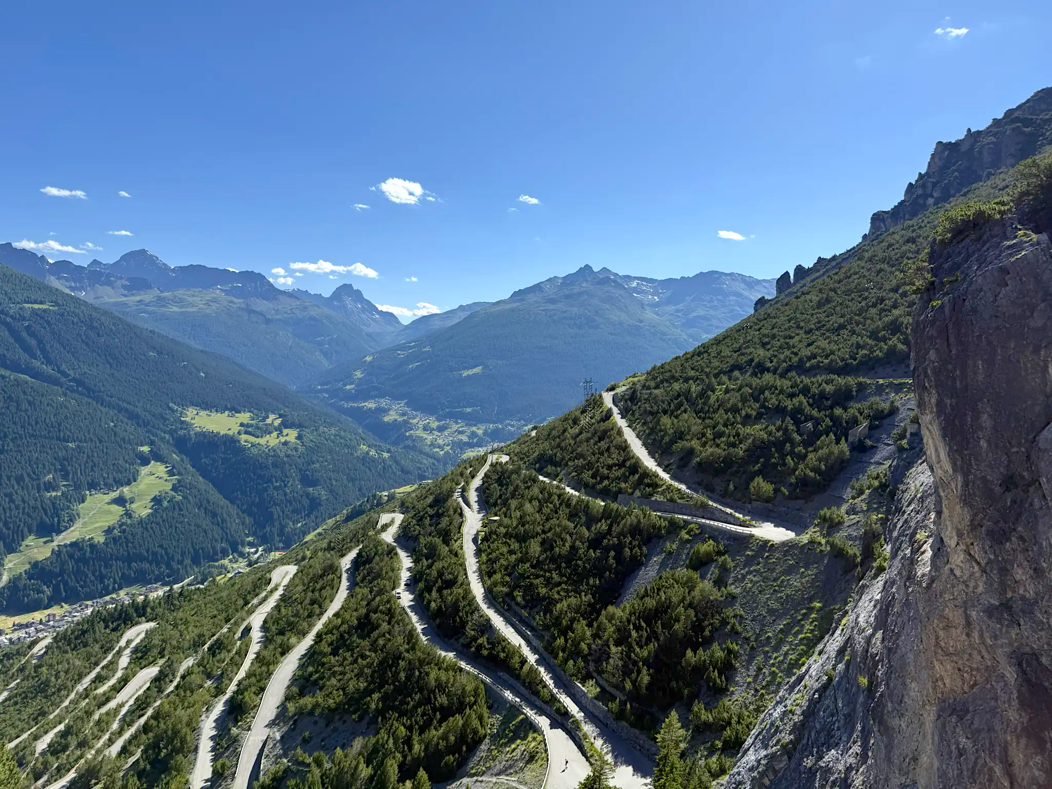
Stelvio Epic Rides – your unforgettable Bormio challenge
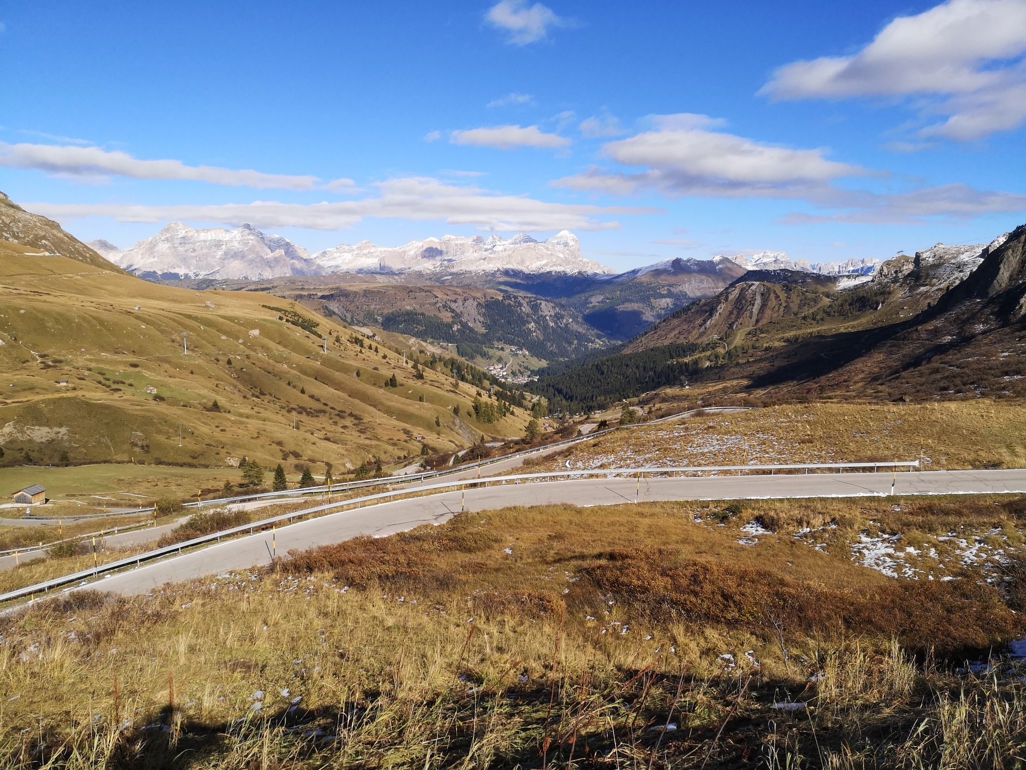
The great passes of the Giro d'Italia – 10 historic climbs
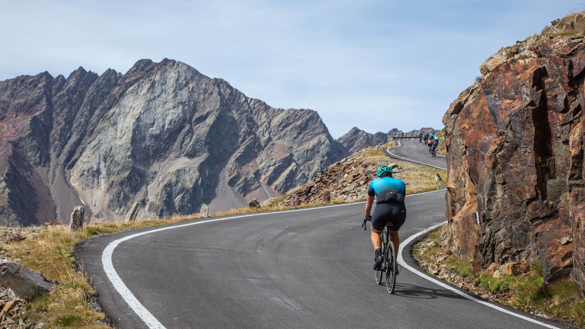
Valtellina: i grandi passi alpini
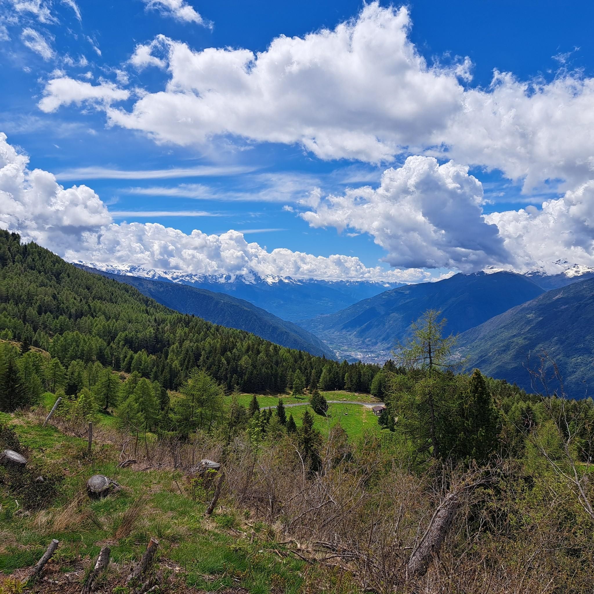
Hiking around Mazzo Di Valtellina
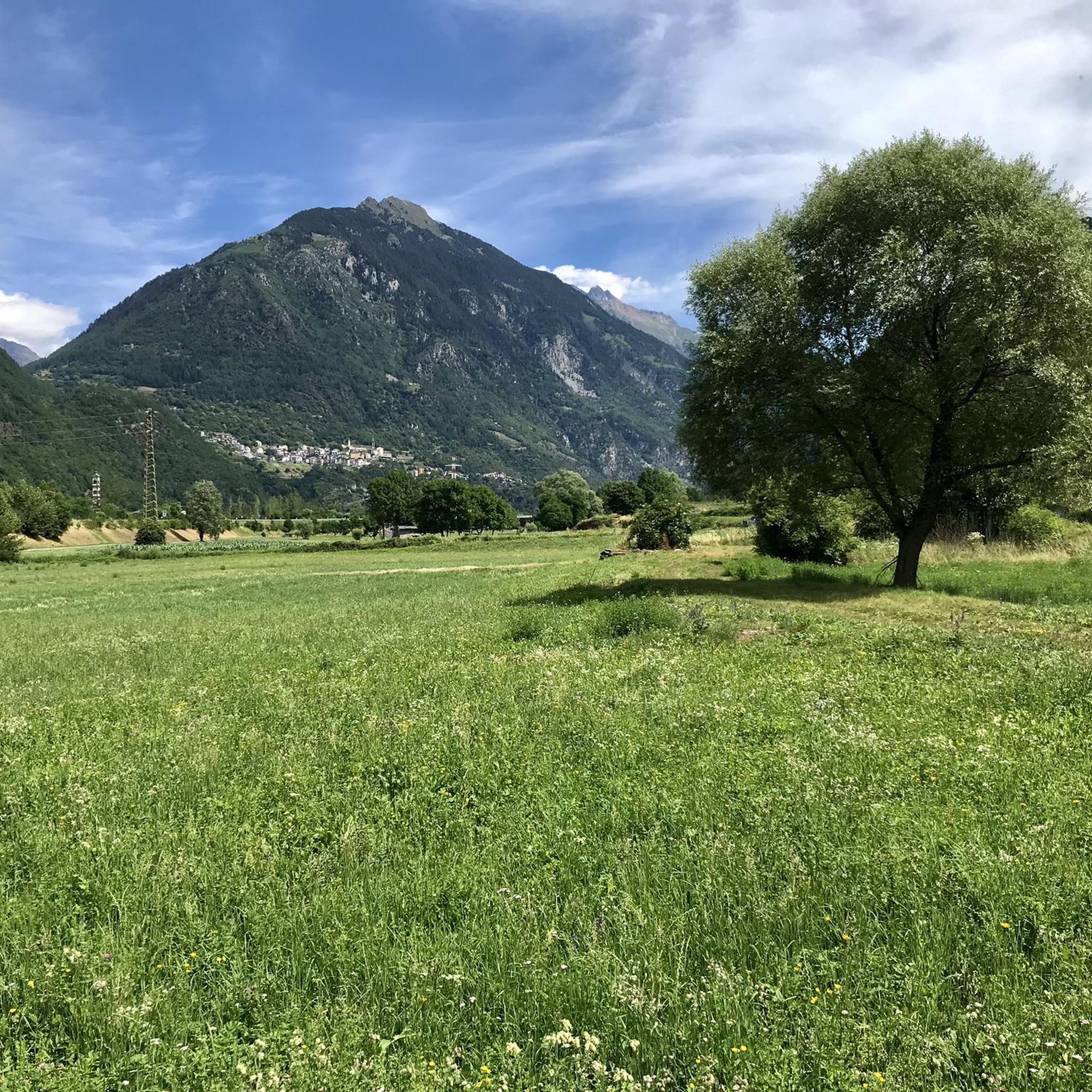
Cycling around Mazzo Di Valtellina
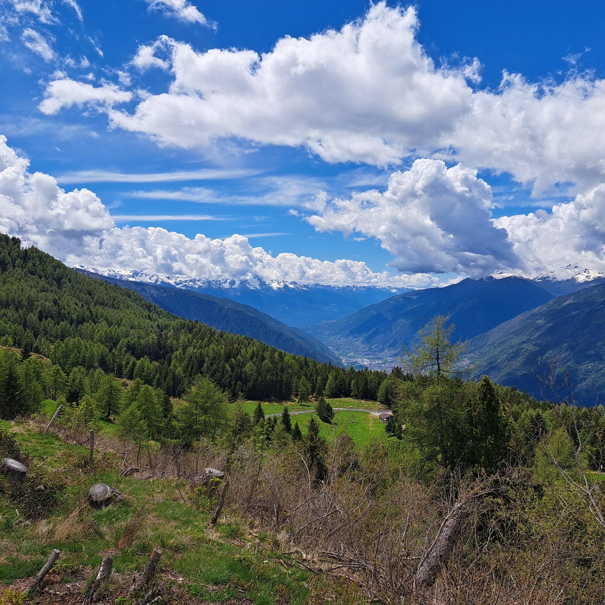
Road Cycling Routes around Mazzo Di Valtellina
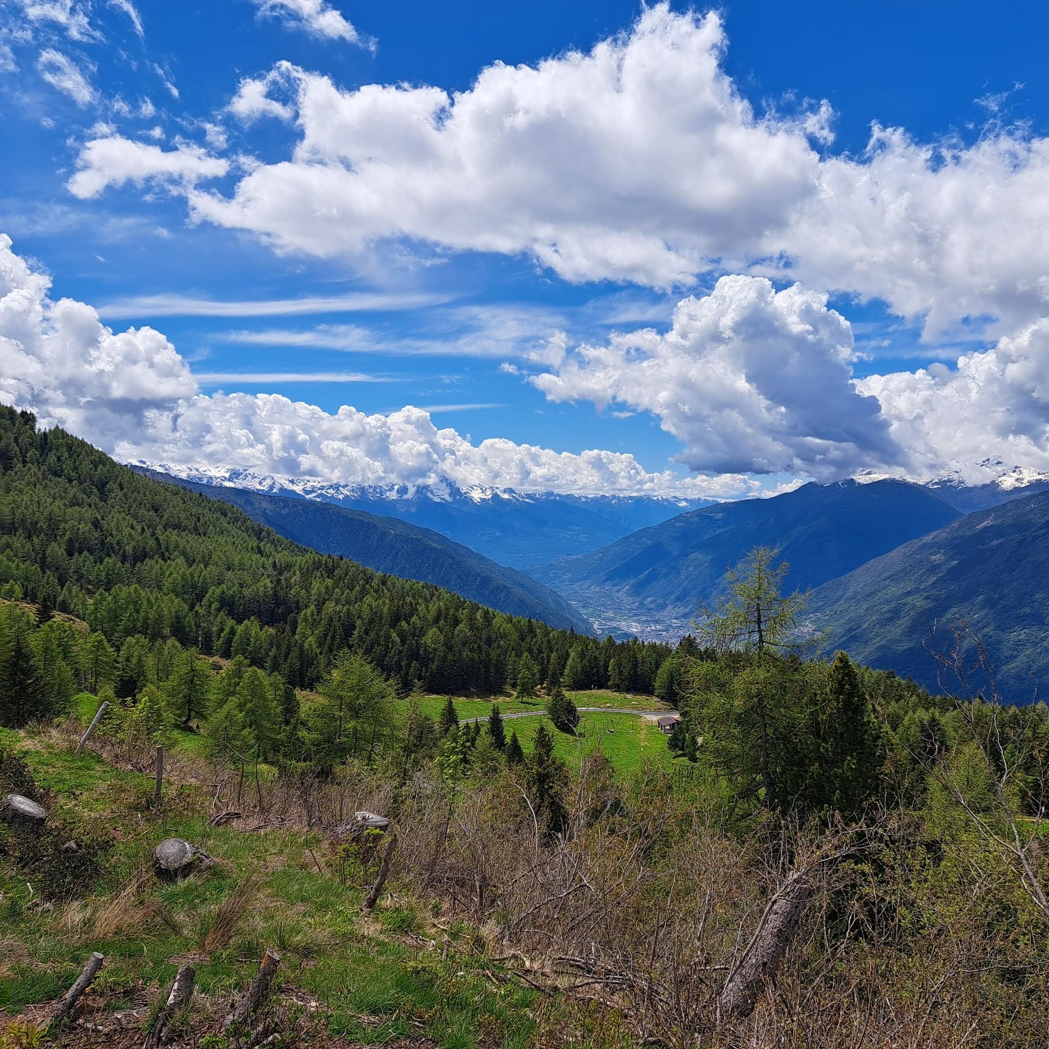
MTB Trails around Mazzo Di Valtellina
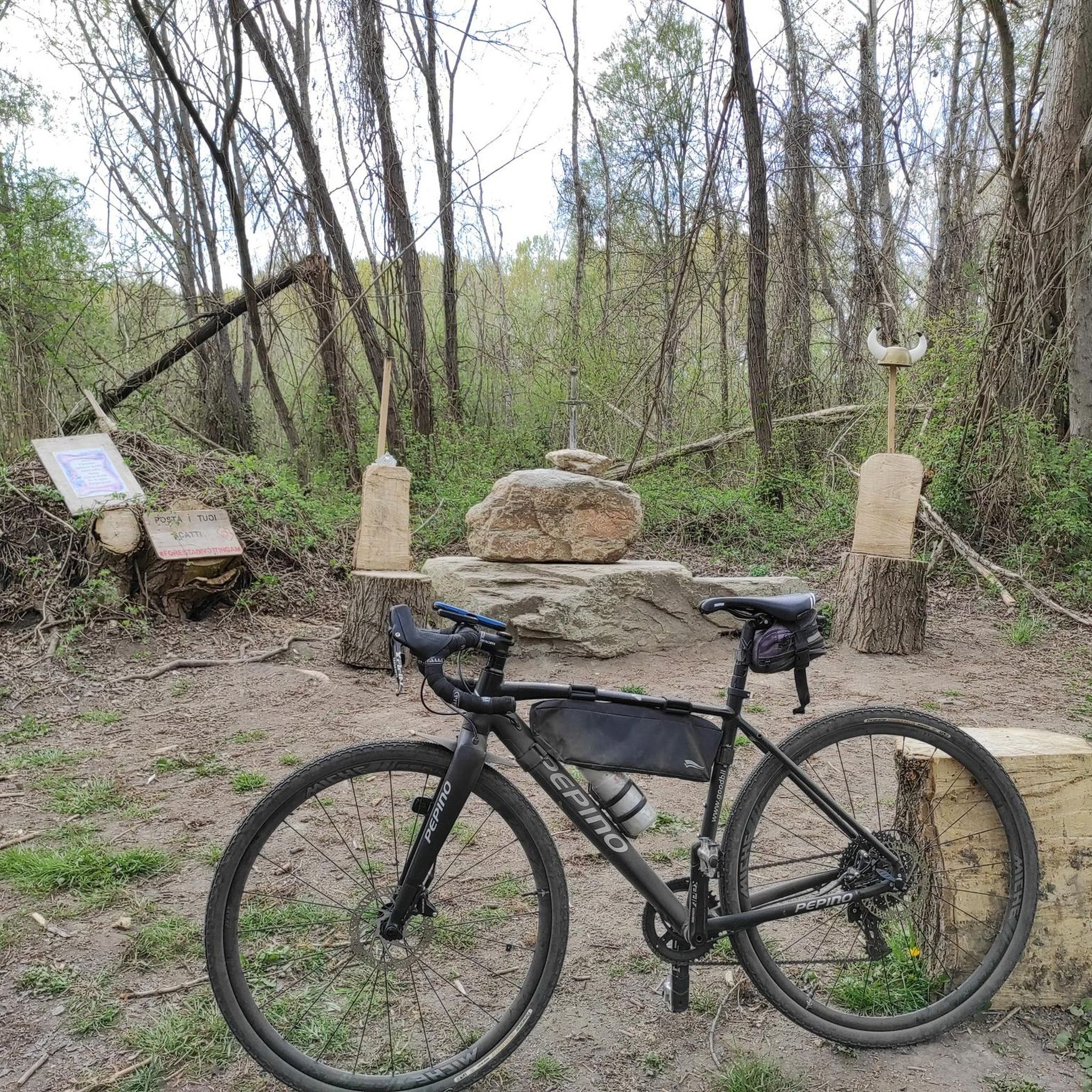
Gravel biking around Mazzo Di Valtellina
Running Trails around Mazzo Di Valtellina
Other adventures around Mazzo Di Valtellina


Tips from the Community

I was lucky enough to be part of the refuge team, it was like being with family, I was there for two months as a handyman and dishwasher, a beautiful place and an exceptional family
0
0

Lago di Poschiavo / Puschlav Lake The Lago di Poschiavo, or Puschlav Lake in German, is located in the southern Graubünden municipality of Poschiavo/Puschlav. The natural reservoir is 962 meters above sea level. The lake is approximately 2.5 km long in a north/south direction and one kilometer wide. The Poschiavino river is both an inflow and outflow of the lake, which is up to 80 m deep at most. The Rhaetian Railway line runs along the western shore towards Brusio and Tirano in Italy. The village center of Poschiavo is about five kilometers north of the Puschlav Lake. On the lake itself are the villages of Miralago in the south and Le Prese in the north end. Both villages have Rhaetian Railway stops. The approximately seven-kilometer circular route around the Lago di Poschiavo can be completed in just under two hours. Since 2016, the "Sassalbo" has been a rentable boat on Lake Poschiavo. It is considered the largest passenger ship in the canton of Graubünden. Text / Source: schweizersee.ch https://www.schweizersee.ch/lago_di_poschiavo/
15
0

A very tough climb from any side you choose to do it.
21
0

Whichever side you pedal, the pass is always a spectacle of nature…
4
0

A challenge against oneself
3
0

Lake Poschiavo is splendid and often so clear that it reflects the surrounding mountains like a mirror. A cycle path runs around us with no difference in altitude or technical difficulties, also suitable for families. There are a couple of places to organize barbecues, and several fountains. The red Bernina train passes close by.
1
0

A beautiful trail to enjoy Lake Poschiavo which was formed following the post-glacial landslide of Mount Giümelin. Since 1904 the lake has been exploited for the production of electricity.
2
0

Just as an Alpine lake is meant to be
0
0
Frequently Asked Questions
What are the prominent natural features around Mazzo di Valtellina?
Mazzo di Valtellina is characterized by its stunning alpine environment. You'll find diverse natural features including challenging mountain passes like Foppa Pass: "Mortirolo", panoramic summits such as Mount Padrio and Cima Rovaia, and agricultural landscapes with fields and apple orchards. The area also features chestnut and conifer woodlands at lower altitudes and expansive pastures higher up.
Which natural monuments offer the best panoramic views?
For breathtaking vistas, consider Mount Padrio, which provides broad views of Valtellina, Lake Poschiavo, and the Adamello and Orobie mountains. Cima Rovaia offers an extraordinary view of the upper Camonica Valley. The Mortirolo Pass also provides sweeping alpine views.
Are there challenging natural monuments for experienced hikers or cyclists?
Absolutely. The Foppa Pass: "Mortirolo" is globally renowned among cyclists for its challenging climb, often featured in the Giro d'Italia. For hikers, the ascent to summits like Mount Padrio and Cima Rovaia can be demanding, with the latter accessible via a steep but technically simple ancient military route.
What historical sites are integrated with the natural landscape around Mazzo di Valtellina?
The Castello Visconteo and Rupe Magna near Grosio is a prime example. This archaeological park features the Rupe Magna, a large rock with over 5,000 ancient carvings, set within a natural backdrop of panoramic mountain views and traditional dry-stone terraced vineyards. Cima Rovaia also has historical significance, featuring a stone entrenchment and an open-air museum from the Great War at its summit.
Are there family-friendly natural monuments or activities?
While specific 'family-friendly' natural monuments aren't highlighted, the broader area offers gentle trails like sections of the Sentiero Valtellina and Sentiero dei Castelli, which wind through vineyards and historic hamlets. The Rock Engravings Park of Grosio (Castello Visconteo and Rupe Magna) can be an engaging visit for families interested in history and nature, with benches available for rest and enjoying the view.
What is the best time of year to visit the natural monuments around Mazzo di Valtellina?
The region is beautiful in spring when the apple orchards blossom, and in autumn during harvest festivals, offering picturesque scenery. Summer is ideal for hiking and cycling the higher alpine areas. While winter offers a different kind of beauty, accessibility to some higher natural monuments might be limited due to snow.
What outdoor activities can I do near these natural monuments?
The area is excellent for various outdoor activities. You can enjoy road cycling on routes like the challenging Mortirolo and Aprica Pass Loop, or more moderate cycling tours. Hiking is also popular, with trails such as the Valtellina Trail or the historic mule track to Passo del Mortirolo. For more options, explore the Road Cycling Routes around Mazzo Di Valtellina, Hiking around Mazzo Di Valtellina, and Cycling around Mazzo Di Valtellina guides.
Are there specific hiking trails to explore the natural beauty?
Yes, the Sentiero Valtellina and Sentiero dei Castelli are excellent for immersing yourself in the local landscape, passing through vineyards and offering alpine views. For more challenging hikes, consider the CAI Trail 230 to Rifugio Schiazzera or the historic military road to Lago Storto. You can find detailed routes in the Hiking around Mazzo Di Valtellina guide.
Can I bring my dog to the natural monuments and trails?
Many outdoor trails in the Mazzo di Valtellina area are dog-friendly, allowing you to explore the natural beauty with your canine companion. However, it's always advisable to keep dogs on a leash, especially in protected areas or near livestock, and to check specific regulations for any particular site or park you plan to visit.
How can I reach the natural monuments using public transport?
Mazzo di Valtellina itself is accessible by public transport. From there, local buses might connect to some trailheads or nearby villages. For specific natural monuments, public transport options can be limited, and reaching higher alpine areas often requires a car or a combination of public transport and walking/cycling. It's best to check local bus schedules for connections to areas like Grosio for the Rock Engravings Park.
Where can I find amenities like cafes or restaurants near the natural monuments?
The village of Mazzo di Valtellina and nearby towns like Grosio and Tirano offer various amenities, including cafes, restaurants, and accommodation. While some natural monuments in more remote alpine areas may not have facilities directly adjacent, you can often find places to eat and rest in the valleys or at the start/end points of popular routes. For example, Edolo, near the Monumental Fountain, has several characteristic places for coffee or aperitifs.
What kind of terrain can I expect when exploring the natural monuments?
The terrain varies significantly. Lower areas feature gentle paths through agricultural fields and orchards. As you ascend, you'll encounter chestnut and conifer woodlands, transitioning to alpine pastures and rocky, mountainous terrain at higher elevations. Expect challenging, steep climbs on mountain passes like Mortirolo and technical sections on some summit trails.
What should I pack for a visit to the natural monuments around Mazzo di Valtellina?
Given the diverse alpine environment, pack layers of clothing suitable for changing weather conditions. Sturdy hiking boots are essential for trails, and if cycling, appropriate gear for challenging climbs. Always carry water, snacks, sun protection, a map or GPS device, and a first-aid kit. For higher altitudes, even in summer, a warm jacket and rain gear are advisable.
Most popular routes around Mazzo Di Valtellina
Most popular attractions around Mazzo Di Valtellina

Get inspired with the komoot mobile app


Explore more
Extend your search for the best caves by checking out these guides of the top ones around Mazzo Di Valtellina:
