Top 14 Mountain Passes around Terenten - Terento
Best mountain passes around Terenten - Terento features a diverse mountain landscape, offering numerous opportunities for high-altitude exploration. The region includes various peaks, alpine routes, and elevated crossings that serve as mountain passes for hikers and ski tourers. These locations provide challenging terrain and expansive mountain scenery.
Best mountain passes around Terenten - Terento
- The most popular mountain passes is Dannelscharte (2,437 m), a mountain pass that offers great views of the Pfunderer mountains. It features steep, rocky grass…
Last updated: October 15, 2026
Climb to Würzjoch Pass
Highlight (Segment) • Climb
Showing Translation
Tip by

Dannelscharte (2,437 m)
Highlight • Mountain Pass
Translated by Google •
Tip by

Sign up now to discover places like this
Get recommendations on the best single tracks, peaks, & plenty of other exciting outdoor places.
Mühlwalder Jöchl (2,342 m)
Highlight • Mountain Pass
Translated by Google •
Tip by

Hochsäge Scharte Climbing Passage
Highlight • Climb
Translated by Google •
Tip by

Hohe Säge Pass
Highlight • Mountain Pass
Translated by Google •
Tip by

Sign up for free to discover even more mountain passes around Terenten - Terento.
Already have an account?
Start today with a free account
Your next adventure awaits.
Popular around Terenten - Terento
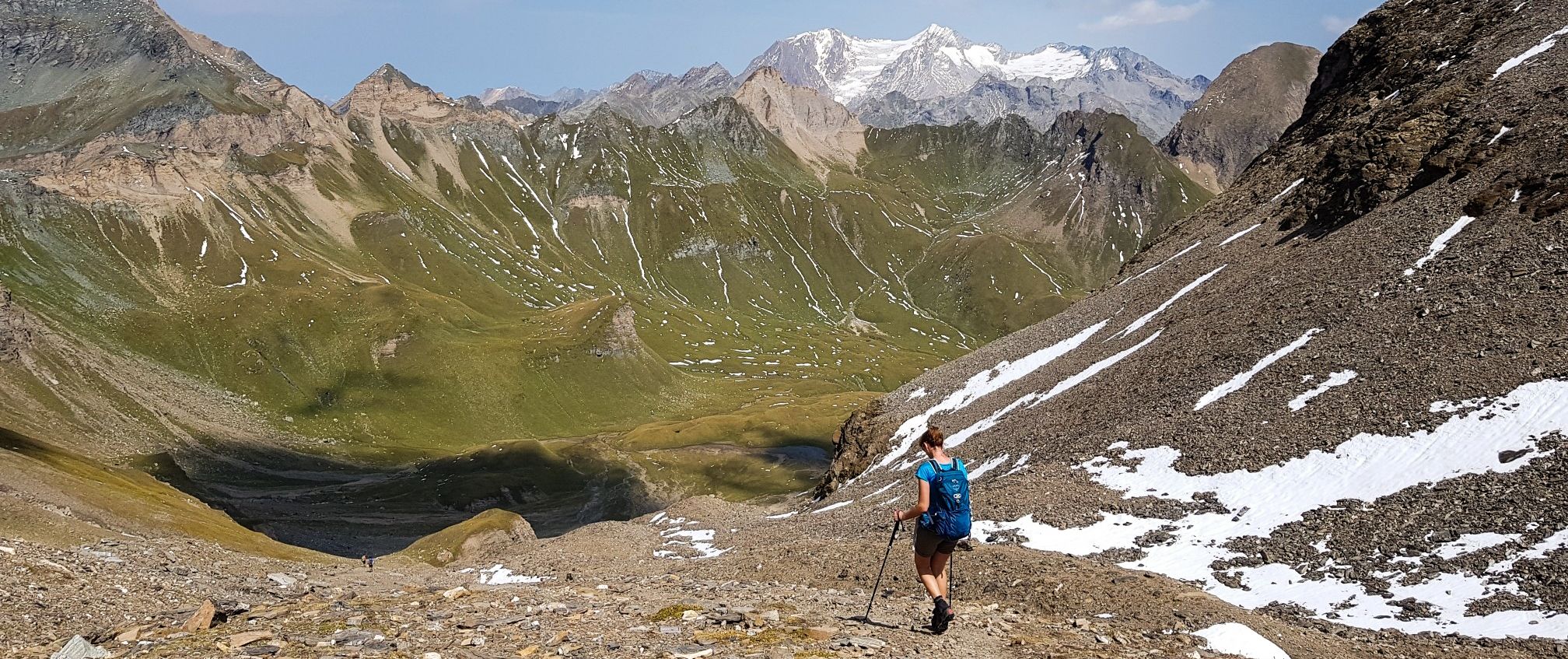
The Pfunderer High Route – Alpine. Solitary. Breathtaking.
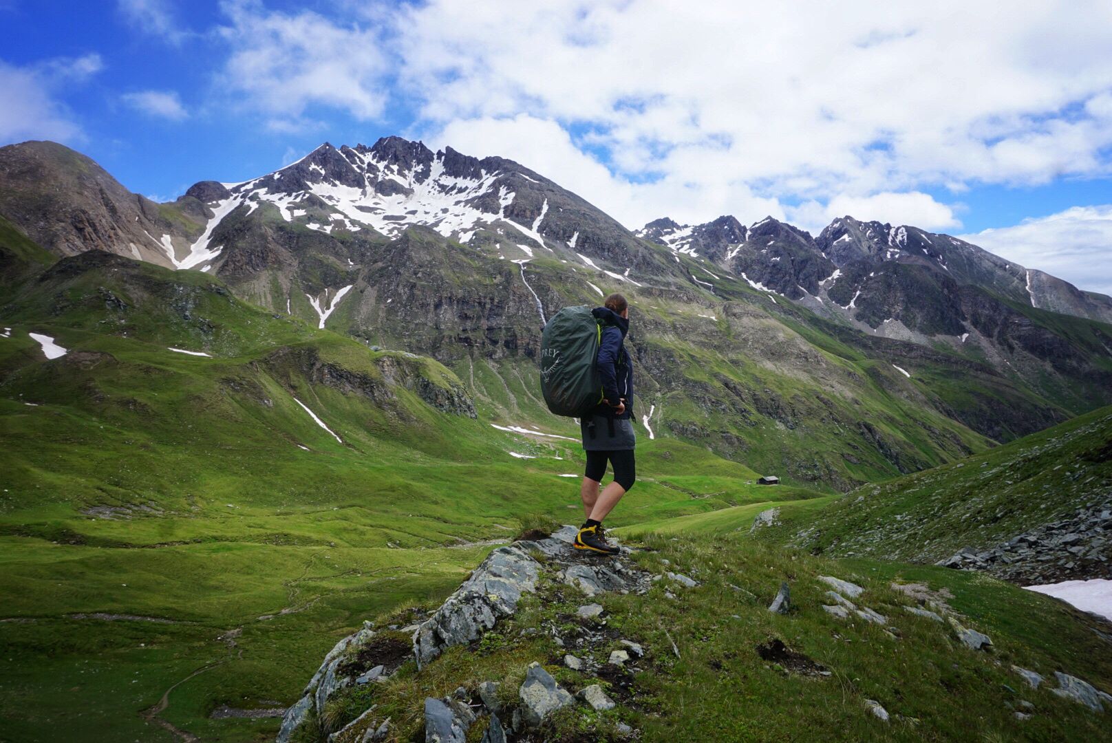
Pfunderer Mountain Trail in South Tyrol – high alpine hiking
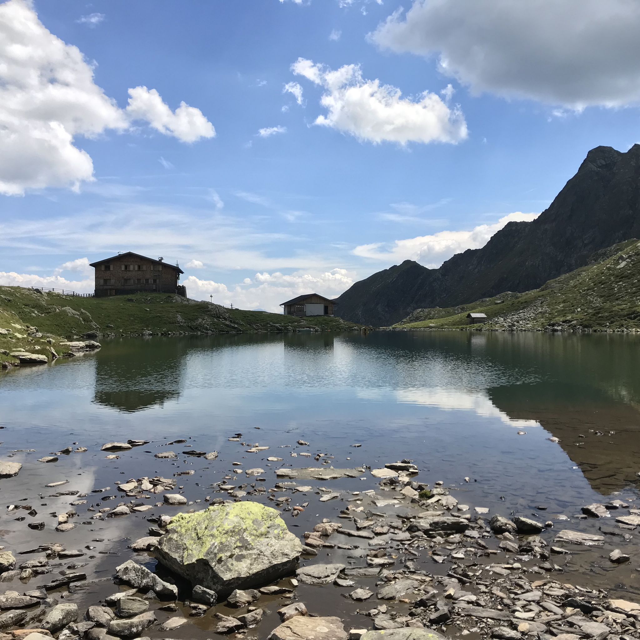
Hiking around Terenten - Terento
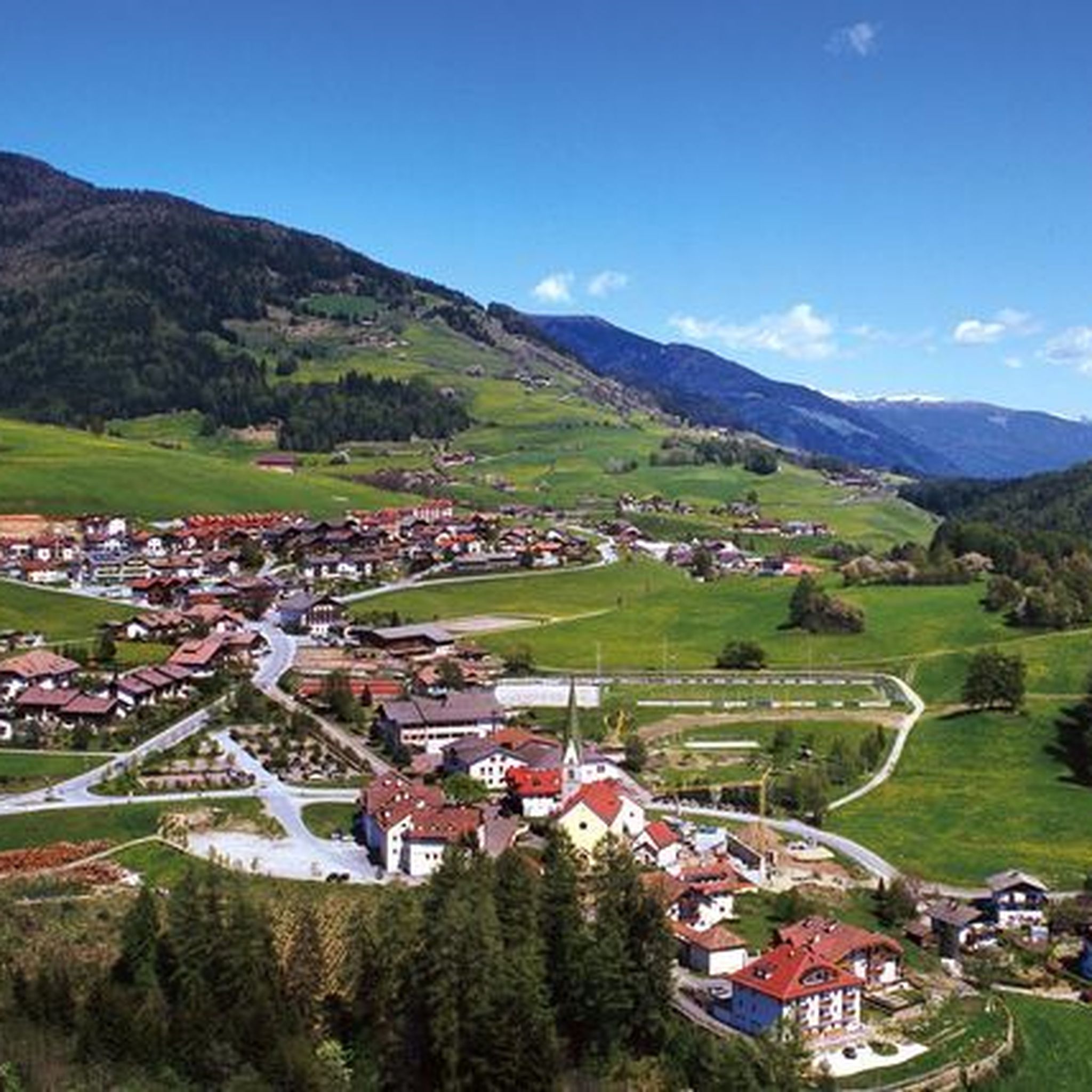
Cycling around Terenten - Terento
Road Cycling Routes around Terenten - Terento
MTB Trails around Terenten - Terento
Gravel biking around Terenten - Terento
Mountain Hikes around Terenten - Terento
Running Trails around Terenten - Terento


Tips from the Community

If you're only planning a one-day hike to the Würzjoch, I recommend the western approach from Brixen, St. Andrä. The approach from Lüsen is definitely worth the extra climb as an alternative. The gradient is undoubtedly very steep for much of the way, but I didn't see the 18-19% mentioned here, at least not on my Wahoo today. The biggest challenge lies in the first half, which is always an advantage in my opinion. The road surface varies greatly from "good" to "disastrous." Traffic was light, so you're mostly alone. (August, peak season) And I don't want to offend anyone, but due to a lack of transportation while on vacation, I (46 years old, averagely "talented" at best) rode up on a rental road bike (11-32 cassette) from the local bike shop (10 kg) without having to dismount. Go for it!!
0
1

A beautiful, but demanding climb through a great valley and along a mountain stream with almost no traffic. Small ramps of up to 18 percent appear repeatedly, but also short respites (on this point I must contradict my predecessor). As for the road surface, I can only recommend the route as an ascent. It is only moderately good and in many places wet, even in dry weather, due to small streams. Which, together with the recurring wooden bridges over the mountain stream, diminishes the fun of a fast descent. For the ascent, however, I would always prefer the route. Quote @Wolfi: "The reward – hardly any traffic and very beautiful views."
3
0

Fantastically beautiful place to rest with a great view 😎🤩
4
0

In Jöchle you also have a great view and at the cross there is also a bench to rest on 👍, be careful ⚠️ there is a risk of not wanting to go any further 😜🤣😂 !!!
5
0

As a racing bike rider (from Lüsen to the merger with Würzjochstraße) I would avoid going in both directions from this section. Even very well trained people have to relegate. No fun going down either.
0
7

I never had to step off my bike on a climb before. Now I did multiple times. This is the hardest thing I ever did. This climb gives you no opportunity to recover. It's steep from the start in Lüssen. After that you get a short flat segment and a slight descent, but when the real climb begins it doesn't stop. Don't expect it getting any easier after the parts where you need to stand up on your pedals to stay upright. The last bit of the climb is beautiful. I cried. But mainly because it was over. I recommend this climb for the super fit, people with a 34 cassette or more. Or people who want to hurt themselves. If I ever cycle it again, it will be down.
1
7

You come from the Gampis Alm, definitely recommended, elderberry juice, past two picturesque lakes. Before going into a block field, be sure to pay attention to the path markings. You're standing in front of the massif and don't know where to go up to the Hohe Saw, so pay attention to the markings! It was very easy, with the help of the hands, the high saw gap was reached. Descent via stairs to the Tiefrasten hut.
2
0

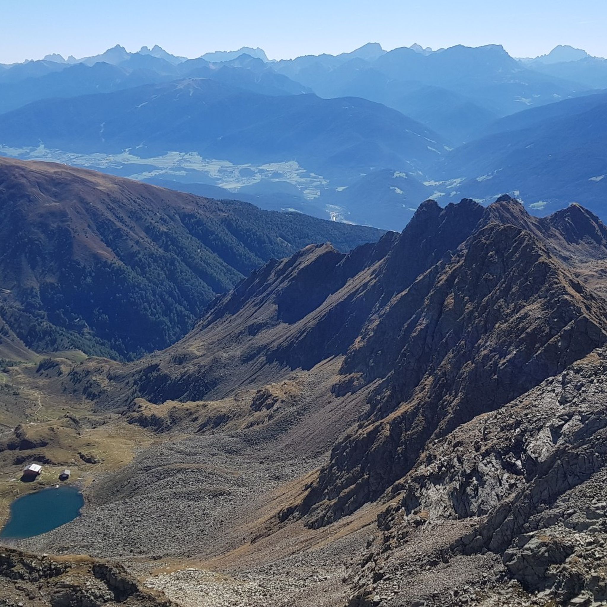
On the Pfunderer Höhenweg the Dannelscharte marks the last high point in front of the Brenninger bivouac and offers great views to the top of the Wurmaul.
2
0
Frequently Asked Questions
What are some of the most popular mountain passes and elevated crossings around Terenten - Terento?
Visitors to Terenten - Terento highly appreciate several elevated crossings and mountain passes. Among the most popular are Dannelscharte (2,437 m), known for its steep, rocky grass backs and great views of the Pfunderer mountains. Another favorite is Mühlwalder Jöchl (2,342 m), which offers an indescribable mountain panorama just below the summit of the Speikboden. For a unique experience, Gaiss Notch is a spectacular gorge and pass secured with iron chains and stepping aids, leading down approximately 30 meters.
How challenging are the mountain passes and elevated areas in Terenten - Terento?
The mountain passes and elevated areas around Terenten - Terento offer a range of challenges. Many routes are considered challenging, requiring surefootedness and a head for heights. For instance, the Dannelscharte (2,437 m) involves very steep, rocky grass backs. The Gaiss Notch is a particularly demanding section with iron chains and stepping aids. The hike to Hochgrubbachspitze also includes light scrambling. However, there are also intermediate options, and the region is known for its diverse terrain suitable for various skill levels.
What kind of natural features can I expect to see on these mountain passes?
The mountain passes and elevated areas in Terenten - Terento are rich in natural beauty. You can expect extensive panoramic views of surrounding ranges like the Pfunders Mountains, Aurine and Sarntal Alps, Dolomites, Breonie and Ötztal Alps, and even Ortles from peaks like Astjoch. Routes often lead through varied landscapes including waterfalls, serene mountain lakes such as Tiefrastensee, and alpine pastures. The region is characterized by its high-mountain environment, offering breathtaking vistas and diverse flora, especially in summer.
Are there any family-friendly hiking options near the mountain passes?
While many of the higher mountain passes are challenging, the broader Terenten - Terento region offers diverse hiking opportunities. For family-friendly options, it's advisable to look for trails that are specifically marked as easy or moderate, often found at lower elevations or leading to accessible alpine pastures. The region's diverse landscape means there are routes suitable for various ages and fitness levels, though specific family-friendly mountain passes are not explicitly highlighted in the most challenging sections.
What is the best time of year to visit the mountain passes around Terenten - Terento?
The best time to visit the mountain passes around Terenten - Terento for hiking and mountaineering is typically during the warmer months, from late spring to early autumn. July is often highlighted as an excellent time, especially for routes like Eidechsspitze, when rhododendrons are in bloom. During winter, some elevated areas like "Am Joch" become popular for ski touring, but many high-altitude passes will be covered in snow and require specialized equipment and experience.
What outdoor activities can I do near these mountain passes?
Beyond exploring the mountain passes themselves, the Terenten - Terento region offers a wide array of outdoor activities. You can find numerous options for gravel biking, with routes like the 'Alperia Bike Tunnel – Rienz River Path loop'. There are also extensive MTB trails, including the 'Pertinger Alm – Hühnerspiel Summit loop'. For road cyclists, the area provides challenging road cycling routes, such as the 'Colfosco – Gardena Pass loop'.
Are there any specific viewpoints or panoramic spots among the passes?
Absolutely! Many of the elevated crossings and passes are renowned for their incredible panoramic views. Mühlwalder Jöchl (2,342 m), for example, offers an 'indescribable view' and a mountain panorama just below the Speikboden summit, complete with a resting bench. Astjoch / Cima Lasta (2,194 m) provides extensive views of multiple mountain ranges, including the Dolomites. Hochgrubbachspitze (2,811 m) also promises unforgettable panoramic views from its summit.
What do visitors enjoy most about the mountain passes in Terenten - Terento?
Visitors consistently praise the breathtaking views and the sense of accomplishment from tackling challenging terrain. The 'indescribable view' from Mühlwalder Jöchl and the 'great view of the grandiose landscape of the Pfunderer mountains' from Dannelscharte are frequently mentioned. The unique experience of navigating sections like Gaiss Notch, secured with chains, also leaves a lasting impression. The tranquility and natural beauty of the high-alpine environment are also highly valued.
Are there any mountain huts or places to rest near the elevated routes?
Yes, there are mountain huts that serve as important waypoints and resting spots on high-mountain tours. The Tiefrastenhütte (2,312 m) is a significant destination, often reached after a hike of about five and a half hours, passing the Astner Bergalm mountain pasture. This hut is located near the scenic Tiefrastensee lake and provides a base for further ascents to peaks like Hochgrubbachspitze and Eidechsspitze.
What are the access and parking options for hiking to these mountain passes?
While specific parking details for each individual pass are not provided, access to trailheads for mountain passes in Terenten - Terento typically involves driving to the starting points of various valleys or villages. From there, marked trails lead up to the elevated areas. It's common for alpine regions to have designated parking areas at the beginning of popular hiking routes. Public transport options might be limited for direct access to remote trailheads, so checking local bus schedules for the specific starting point of your chosen route is recommended.
Are there any specific safety considerations for hiking the mountain passes?
Yes, safety is paramount when hiking the mountain passes around Terenten - Terento. Many routes are challenging and require surefootedness and a head for heights. Sections like Gaiss Notch are secured with iron chains and stepping aids, indicating exposed terrain. The ascent to Hochgrubbachspitze involves light scrambling. Always check weather conditions, wear appropriate gear, carry enough water and food, and inform someone of your planned route. For demanding routes, consider going with experienced companions or a guide.
Can I bring my dog on the mountain trails to these passes?
Generally, dogs are permitted on hiking trails in the South Tyrol region, including many leading to mountain passes. However, it is crucial to keep dogs on a leash, especially in alpine pastures where livestock may be present, and to clean up after them. For very challenging routes involving scrambling or secured sections like Gaiss Notch, assess if the terrain is suitable for your dog's capabilities and safety.
Most popular routes around Terenten - Terento
Most popular attractions around Terenten - Terento

Get inspired with the komoot mobile app


Explore more
See even more epic mountain passes by checking out these guides around Terenten - Terento:
