Top 14 Mountain Passes around San Nazario
Best mountain passes around San Nazario are situated in the Brenta Valley, providing access to the Monte Grappa massif. This region features a landscape characterized by challenging mountain routes and historical paths. The area offers varied terrain suitable for both hiking and cycling, with routes often holding historical significance.
Best mountain passes around San Nazario
- The most popular mountain pass is Valstagna–Foza Climb, a challenging climb that features 20 hairpin bends over 14 km. It offers an average gradient…
Last updated: July 11, 2026
Foza–Valstagna Hairpin Road
Highlight (Segment) • Mountain Pass
Little traffic, partly beautiful views.
From Valstagna to Foza to the Sette Comuni, the Asiago plateau.
More information: de.wikipedia.org/wiki/Sieben_Gemeinden_(Italien)
Translated by Google •
Tip by

Primolano Steps and Tagliata Fortification
Highlight (Segment) • Historical Site
Translated by Google •
Tip by

Sign up now to discover places like this
Get recommendations on the best single tracks, peaks, & plenty of other exciting outdoor places.
Sign up for free
Col d'Astiago
Highlight • Mountain Pass
Translated by Google •
Tip by

Valstagna–Foza Climb
Highlight (Segment) • Climb
Translated by Google •
Tip by

Col del Gallo
Highlight • Mountain Pass
Translated by Google •
Tip by

Sign up for free to discover even more mountain passes around San Nazario.
Sign up for free
Already have an account?
Start today with a free account
Your next adventure awaits.
Login or Signup
Popular around San Nazario
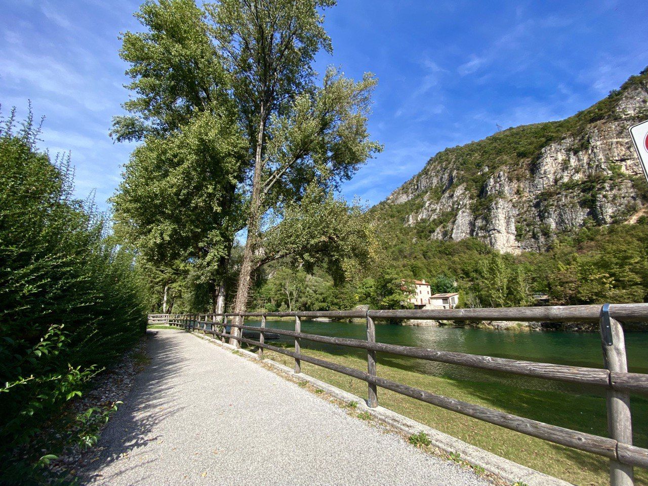
Cycle along Italy’s Brenta river – Brenta Cycle Route
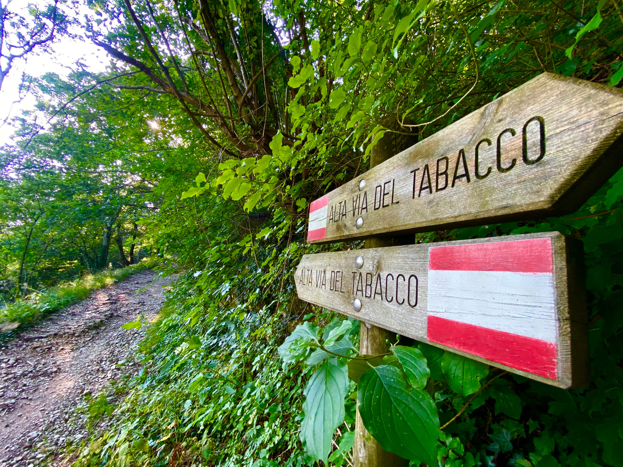
Hike an old smugglers’ road – Alta Via del Tabacco
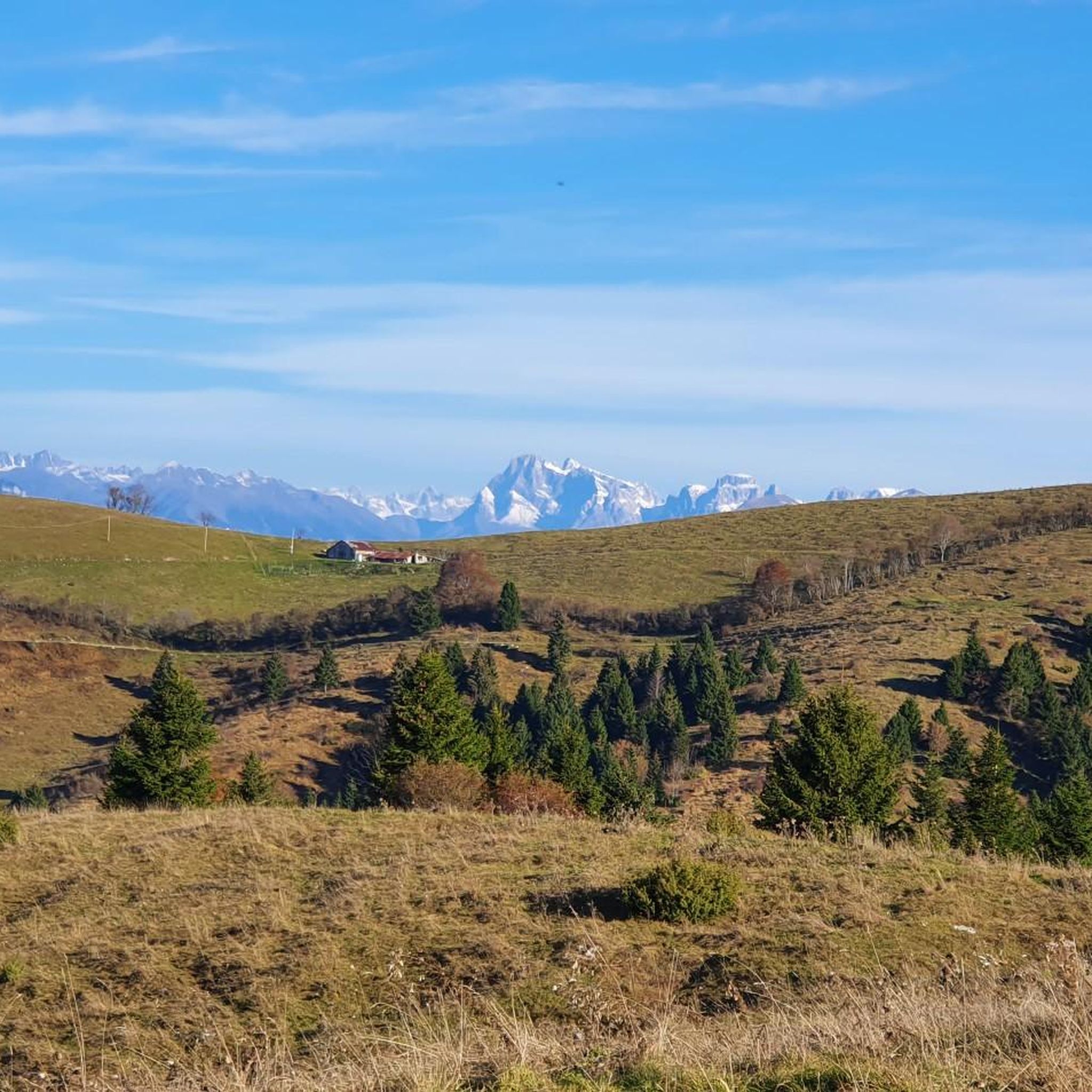
Hiking around San Nazario
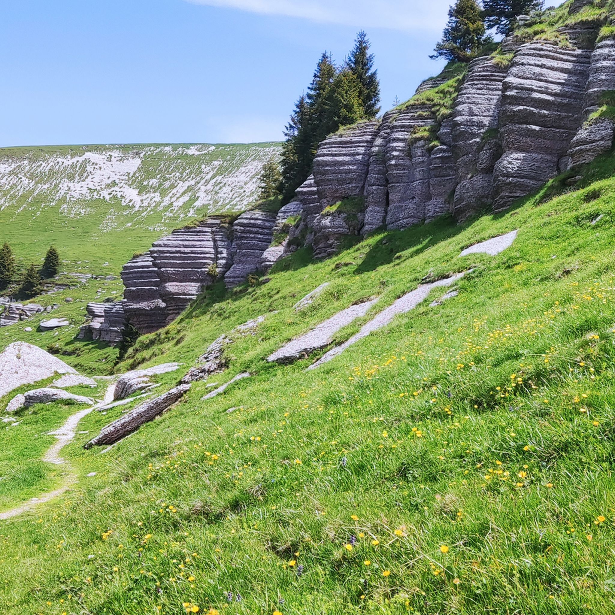
MTB Trails around San Nazario
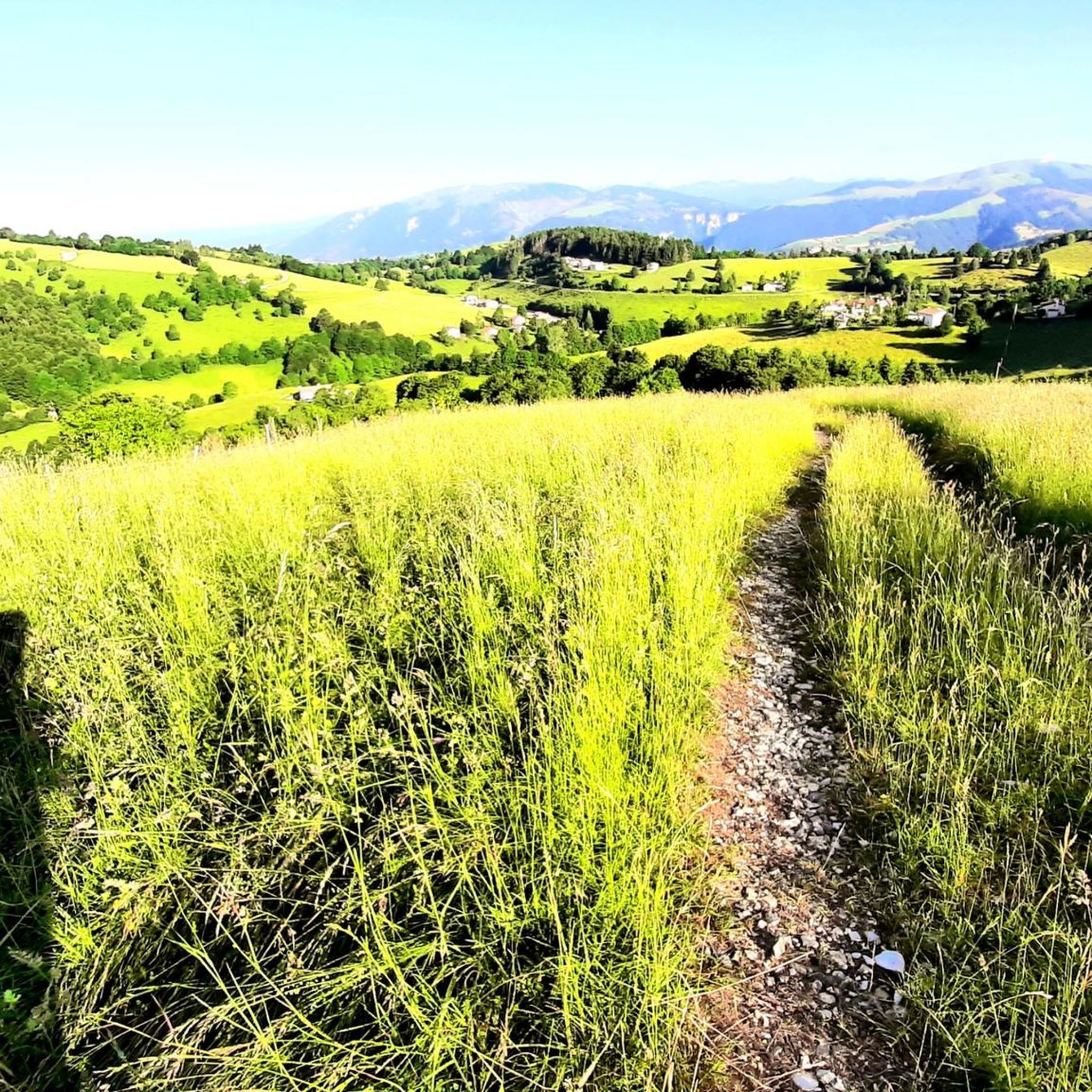
Running Trails around San Nazario
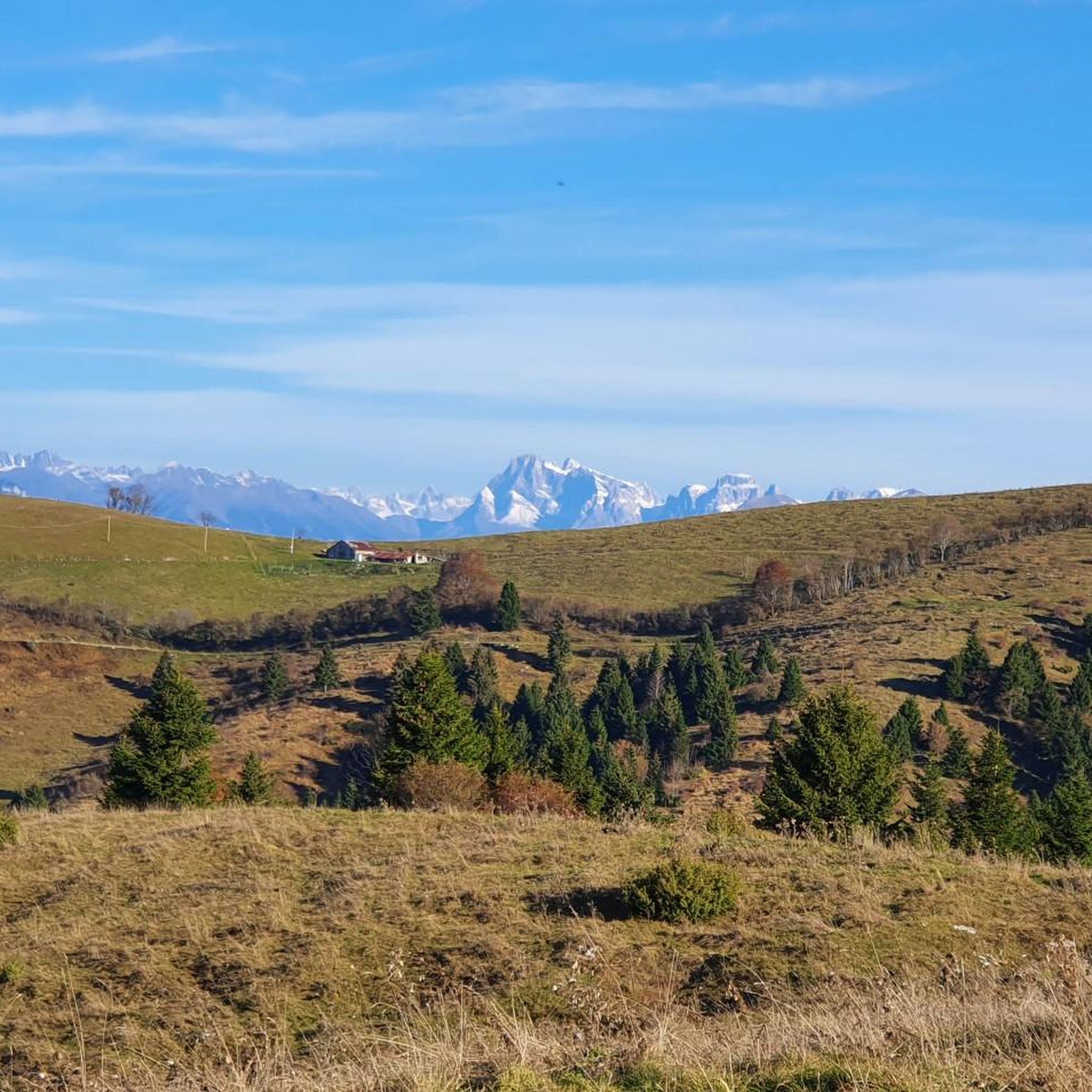
Cycling around San Nazario
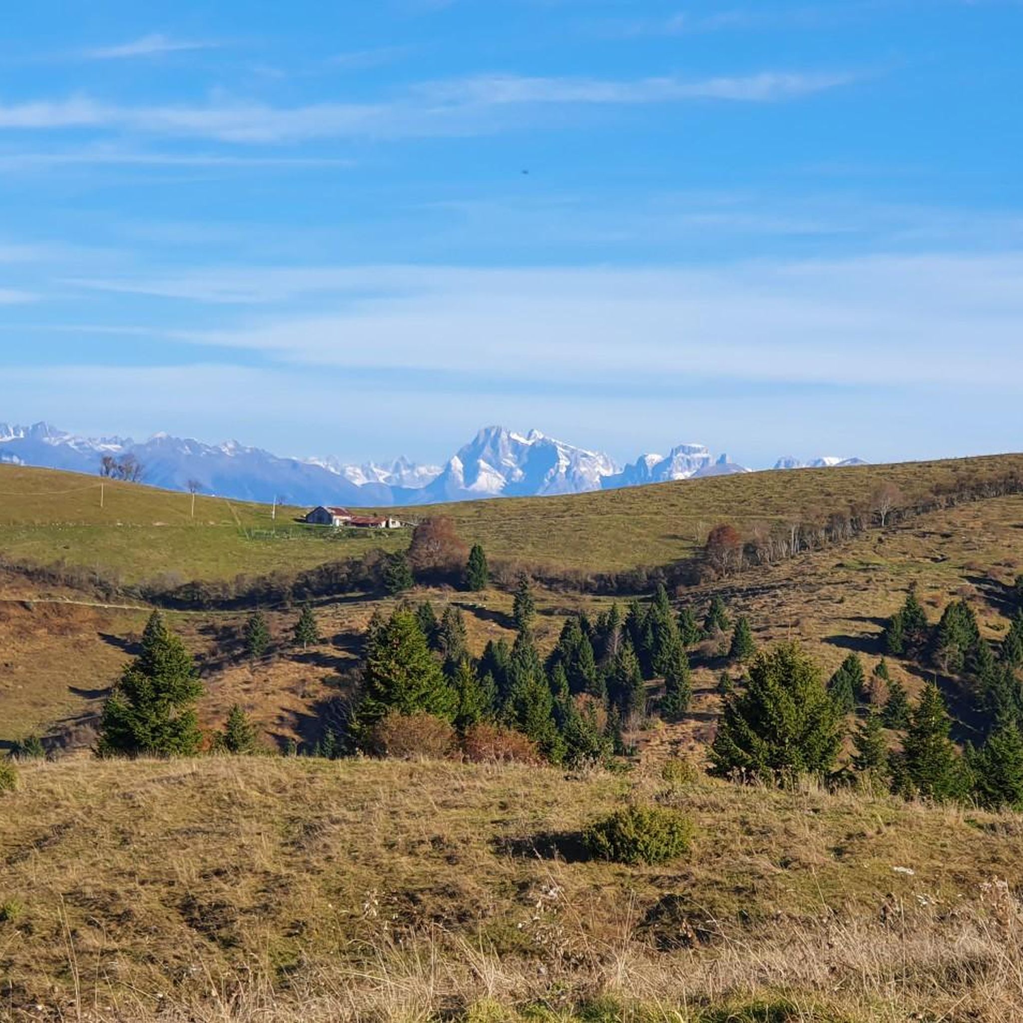
Road Cycling Routes around San Nazario

Gravel biking around San Nazario
Mountain Hikes around San Nazario

Tips from the Community

Col d'Asiago offers a beautiful and privileged panoramic point on the underlying Canale del Brenta, or the narrow and deep terminal part of Valsugana. But the view extends over the Asiago Plateau and the entire skyline of mountains that border it to the north, the Grappa Massif to the east and the mouth of Val Brenta. In the distance, the Piccole Dolomiti, the Pale di San Martino and the Vette Feltrine. Precisely because of its strategic position, during the First World War it was a strongly armed Italian defensive bastion and decisive in various phases of the conflict. The peak is also known locally by the ancient and dialect toponym 'Col del S-ciavo', dating back to the time of the Serenissima: on the slopes of the hill in fact the 'schiavoni' (i.e. the non-Latin inhabitants of the dominions of Dalmatia and the Venetian hinterland) cut wood for the naval fleet; the trunks (especially beech trees) were lowered down the valley through the famous and nearby Calà del Sasso; they were then loaded onto rafts that went down the entire Brenta, until they reached the lagoon and the Arsenale of Venice. A large concrete cistern dominates the summit, collecting the water pumped from the Oliero Caves, 1000m further downstream, and distributing it to the Plateau.
0
0

... with its EIGHT hairpin bends ;-)
2
0

Thurs. October 12th '23 a car rally will be held on the public road that is not (!) closed. For the. For a long time I couldn't tell what was going on - until I noticed the folding chairs with the marshals... If available, the center line is the benchmark for the drivers and the hairpin bends are preferably driven on the inside: Have fun descending into the right-hand bends - there are always a few 'surprises'. I saw 2 Carabinieri vehicles on the way without any apparent surveillance activity - a third was taking care of an illegal parker. Well - I definitely won't be doing this (very nice) lap on this date again.
0
1

Col d'Astiago is located in the south-eastern sector of the Asiago plateau. Wide panorama of the Brenta and towards Monte Grappa. Here is the pumping station of the aqueduct that brings water from the Oliero caves to the plateau.
3
0

Nice cycling challenge, long and quite tough climb
0
0

cycle excursion in Valnevera that sees this isolated relief at its top, where the shooting positions of the Great War are still clearly visible. Valnevera is that hilly massif that lies between Lake Corlo and the old road that, from Arsiè, reaches Primolano through the homonymous "stairs", a set of pre-alpine meadow hills with breathtaking views towards the Cismon valley and the Valsugana in the its southern limit and still towards Enego and the Asiago plateau placed on the opposite side
2
1

Often pleasantly sunny, the summit of Col di Gallo is the perfect place for a break after the beautiful climb that passes through the Primolano Stairs.
2
0

Although the Piccolo Stelvio has nothing to do with the Passo di Stelvio, it does have some hairpin bends with a very pleasant gradient in a beautiful landscape. Highly recommended driveway!
0
1
Frequently Asked Questions
What are some of the most notable mountain passes and routes around San Nazario?
The region around San Nazario offers a variety of mountain passes and challenging routes. Some popular options include the Valstagna–Foza Climb, known for its 20 hairpin bends and challenging gradient, and the Foza–Valstagna Hairpin Road, which offers beautiful views and a pleasant gradient for cycling. Another significant site is Col d'Astiago, a historical pass with panoramic views of the Brenta and Monte Grappa.
Are there any mountain passes with historical significance near San Nazario?
Yes, the area is rich in historical routes. The Primolano Steps and Tagliata Fortification is a series of hairpin bends with a fortification built in the late 19th century for military defense. Additionally, Col d'Astiago served as a strongly armed Italian defensive bastion during the First World War, and its peak is known for its strategic position and historical importance.
What kind of views can I expect from the mountain passes in this region?
Many passes offer stunning panoramic views. For instance, Col d'Astiago provides a wide panorama of the Brenta and Monte Grappa, extending over the Asiago Plateau and the surrounding mountains. The Foza–Valstagna Hairpin Road also features beautiful views along its winding path.
What outdoor activities can I do near the mountain passes around San Nazario?
The region is ideal for various outdoor activities. You can find numerous cycling routes, such as the challenging Valstagna–Foza Climb. For hikers, there are demanding mountaineering routes in the Monte Grappa Massif, including the 'Via Ferrata Sass Brusai loop'. You can explore more options for cycling at Cycling around San Nazario and for hiking at Mountain Hikes around San Nazario.
Are there challenging routes for experienced cyclists or hikers?
Absolutely. The Valstagna–Foza Climb is a fascinating and quite tough climb with an average gradient of 6.7% and peaks of 11%. For hikers, the Monte Grappa Massif offers challenging mountaineering routes like the 'Via Ferrata Sass Brusai loop' and other loops involving significant elevation gains, requiring good fitness and sure-footedness. The historic 'Sentiero Sannazara' is also a demanding 7-hour hike.
What is the 'Sentiero Sannazara' and what does it offer?
The Sentiero Sannazara, also known as Scalinata di Santa Nazara, is a historic mule track starting in San Nazario. It ascends significantly to Col del Fenilon, covering 12 km with an elevation gain of 1169 meters. This route offers breathtaking views of parts of Monte Grappa, Bassano del Grappa, and the Asiago Plateau, and provides a glimpse into the region's past as an ancient connection between the Brenta Valley and alpine pastures. It typically takes around 7 hours to complete and requires experience in mountain walking.
What is the best time of year to visit the mountain passes around San Nazario?
The region is generally best explored during warmer months for hiking and cycling. While the roads on passes like the Valstagna–Foza Climb have little traffic, it's important to be prepared for colder temperatures at higher altitudes, especially in winter. Some routes may have specific winter conditions that require appropriate gear and experience.
Are there any passes suitable for a scenic drive with minimal traffic?
The Foza–Valstagna Hairpin Road is noted for its small size, many bends, and partly beautiful views with little traffic, making it a pleasant option for a scenic drive or cycle. The Valstagna–Foza Climb also has very limited traffic, allowing for a more immersive experience.
What kind of natural features can I observe on these mountain routes?
The routes wind through diverse landscapes, from dense woods on climbs like the Valstagna–Foza Climb to alpine pastures and panoramic viewpoints. You can enjoy views of the emerald waters of the Brenta, the vastness of the Asiago Plateau, and the majestic Monte Grappa Massif. The region's karst topography also means unique geological features, such as the Oliero Caves which supply water to the Asiago Plateau via an aqueduct at Col d'Astiago.
What do visitors enjoy most about the mountain passes around San Nazario?
Visitors frequently appreciate the challenging yet rewarding climbs, the stunning panoramic views, and the rich historical context of the routes. The low traffic on many passes makes for a more enjoyable and peaceful experience, especially for cyclists. The opportunity to explore ancient mule tracks and sites from the Great War also adds a unique dimension to the outdoor adventures.
Are there any specific routes for mountaineering near San Nazario?
Yes, the Monte Grappa Massif, accessible from the Brenta Valley near San Nazario, offers several challenging mountaineering routes. Examples include the 'Via Ferrata Sass Brusai loop' and other mountaineering loops that require significant elevation gains and good physical condition. You can find more details on these routes in the Mountain Hikes around San Nazario guide.
Can I find routes that combine cycling and historical exploration?
Definitely. The Primolano Steps and Tagliata Fortification is a well-known destination among cyclists who come to experience its hairpin bends and historical military structures. Similarly, the Col d'Astiago, while a mountain pass, is also a historical site with a wide panorama, offering a blend of scenic beauty and historical significance for those exploring by bike or on foot.
Most popular routes around San Nazario
Most popular attractions around San Nazario

Get inspired with the komoot mobile app


Explore more
See even more epic mountain passes by checking out these guides around San Nazario:
