Top 10 Natural Monuments around Gambugliano
Best natural monuments around Gambugliano are found within a region shaped by ancient volcanic activity and alluvial plains, offering diverse geological features and unique ecosystems. The area, situated in the Province of Vicenza, provides a variety of natural attractions for exploration. Visitors can discover pristine spring waters, extensive cave systems, and panoramic viewpoints. These natural features contribute to the region's appeal for outdoor activities.
Best natural monuments around Gambugliano
- The most popular natural monuments is Bacchiglione Springs Nature Reserve,…
Last updated: October 14, 2026
Bacchiglione Springs Nature Reserve
Highlight • Natural Monument
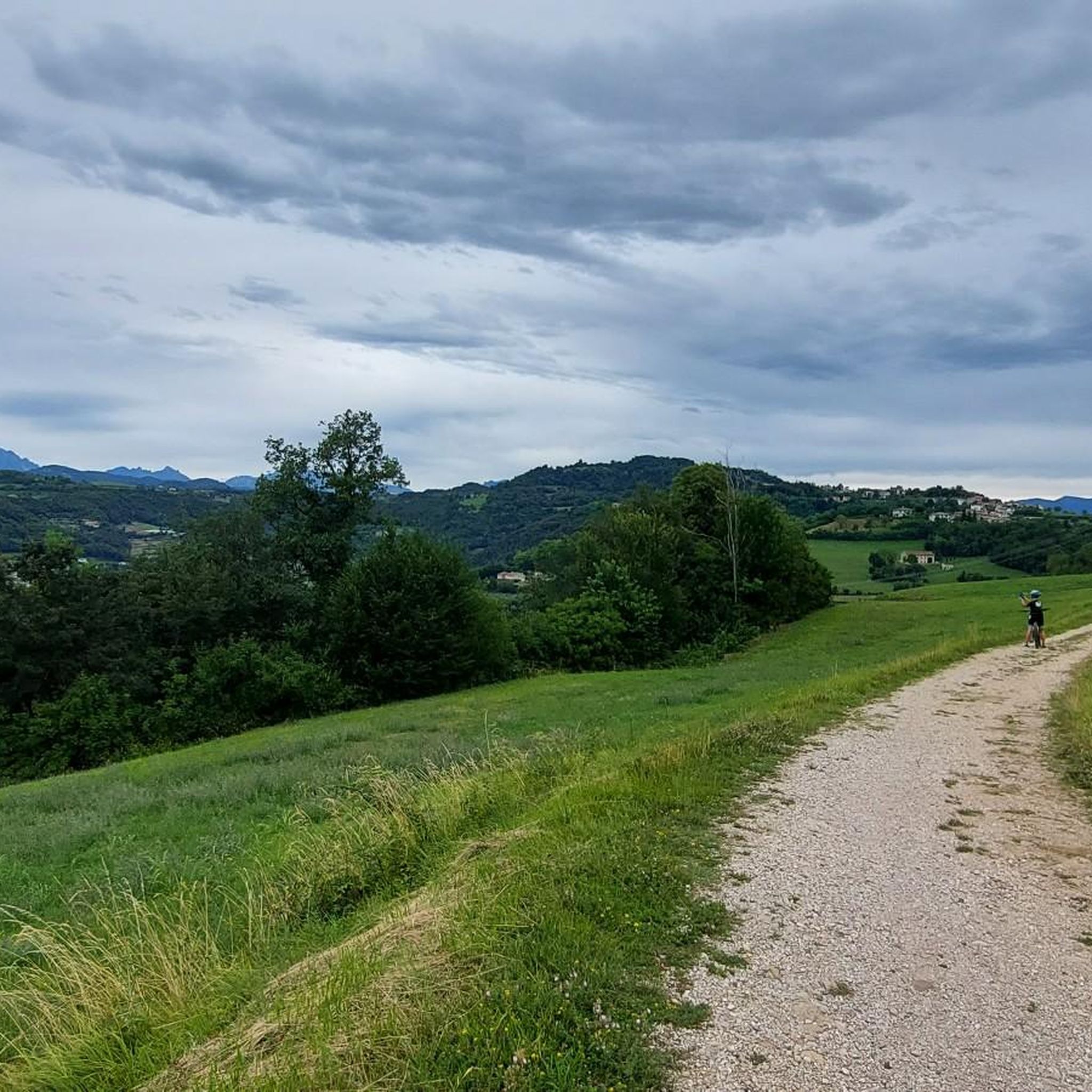
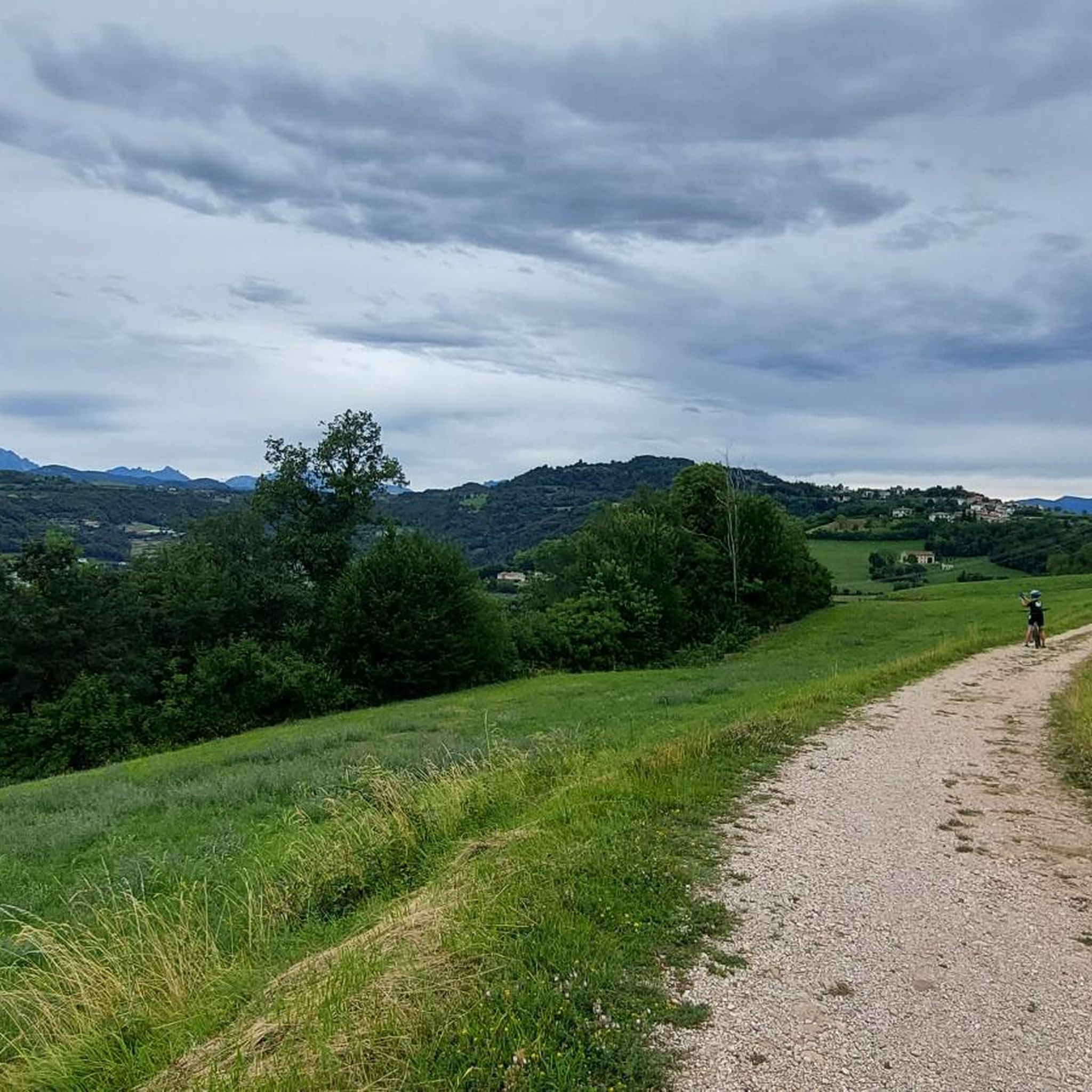
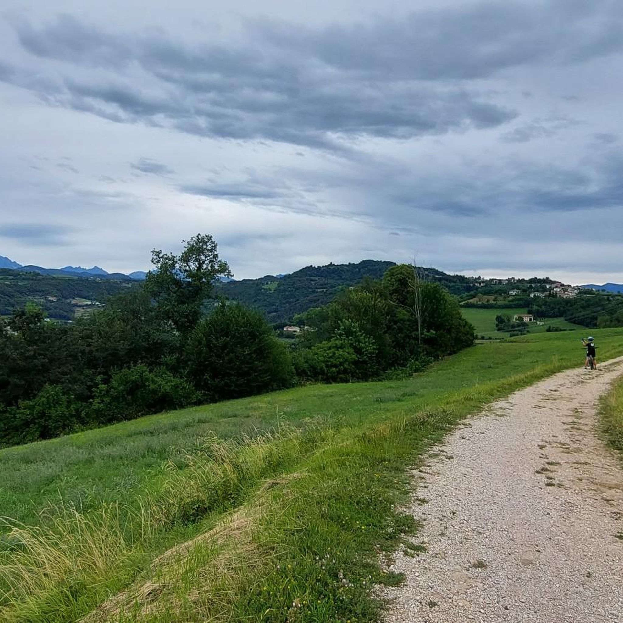
For the gravel it is a paradise!
DESCRIPTION:
A resurgence, or fountain, is a source of fresh water of natural origin, sometimes made to …
Translated by Google •
Tip by

Bacchiglione Springs
Highlight • River
Translated by Google •
Tip by

Sign up now to discover places like this
Get recommendations on the best single tracks, peaks, & plenty of other exciting outdoor places.
Buso della Rana Cave
Highlight • Cave
Translated by Google •
Tip by

Monte Nero
Highlight • Natural Monument
Translated by Google •
Tip by


Sign up for free to discover even more natural monuments around Gambugliano.
Already have an account?
Start today with a free account
Your next adventure awaits.
Tips from the Community

it is worth visiting these places for the tranquility and the scenery
0
0

The Buso della Rana is the largest cave in the Veneto region and one of the most extensive in Italy, with a network of caves stretching almost 30 km in total (40 km including the Pissatèla complex above, to which it is connected). Located beneath the Faedo-Casaròn Plateau, it is an intricate karst system that collects and channels the plateau's waters into the Rio Rana, which flows at the entrance. It was formed when rainwater seeps into the permeable limestone surface layer and, encountering the underlying impermeable basalt (volcanic rock), flows laterally, eroding the rock. Over millions of years, this has created a complex labyrinth of horizontal tunnels, chambers, chimneys, siphons, and small lakes traversed by underground streams. Because it drains the plateau's waters, the cave is subject to flash floods, making exploration treacherous. Inside, the temperature remains constant between 10 and 12°C year-round. It is freely accessible through the monumental entrance and by proceeding along the Main Branch for about fifty meters, until reaching the first flooded corridor or Siphon, a horizontal constriction that requires crawling. From there, it is the preserve of speleologists or exciting and adventurous guided tours organized by associations like Biosphera (see link). The internal branches are not marked, and one must know the way. The name of the cave has nothing to do with the amphibian, but is an Italianized term from the Cimbrian word "roan," meaning "rocky wall," referring to the cliff at the entrance. https://www.busodellarana.it https://esplora.biosphaera.it/luoghi/buso-della-rana/
0
0

Great ride for a bit of training
0
0

The set of springs that make up the Bacchiglione stream are enclosed in a splendid naturalistic area. It is possible to access it from different points and in different ways, but in any case cycling here is wonderful. There is a refreshment point: to check its opening I recommend you visit the official website of the place, https://www.risorgivedelbacchiglione.it.
1
0
Monte Nero, above Montecchio Maggiore, is actually a hill: despite its modest size, it is quite unique in terms of its geology, morphology, and botanical rarities! Thirty million years ago, Monte Nero was a volcanic island emerging from the waters. This gave rise to the current peak, which, with its bare, arid, and dark basalt (hence the name "Nero"), stands out clearly from the surrounding limestone hills. It is a unique (micro)environment: you walk on the primitive, solidified lava flow; you encounter rare plants, including exotic and Mediterranean ones, which are, to say the least, unusual to find in these places. A short educational trail (also suitable for children) starts from the Church of San Pietro and illustrates the peculiarities of Monte Nero in six stages/panels. https://www.prolocoaltemontecchio.it/cosa-vedere/percorsi/naturalistici/
2
0

beautiful waterfall of the Rana stream
0
0
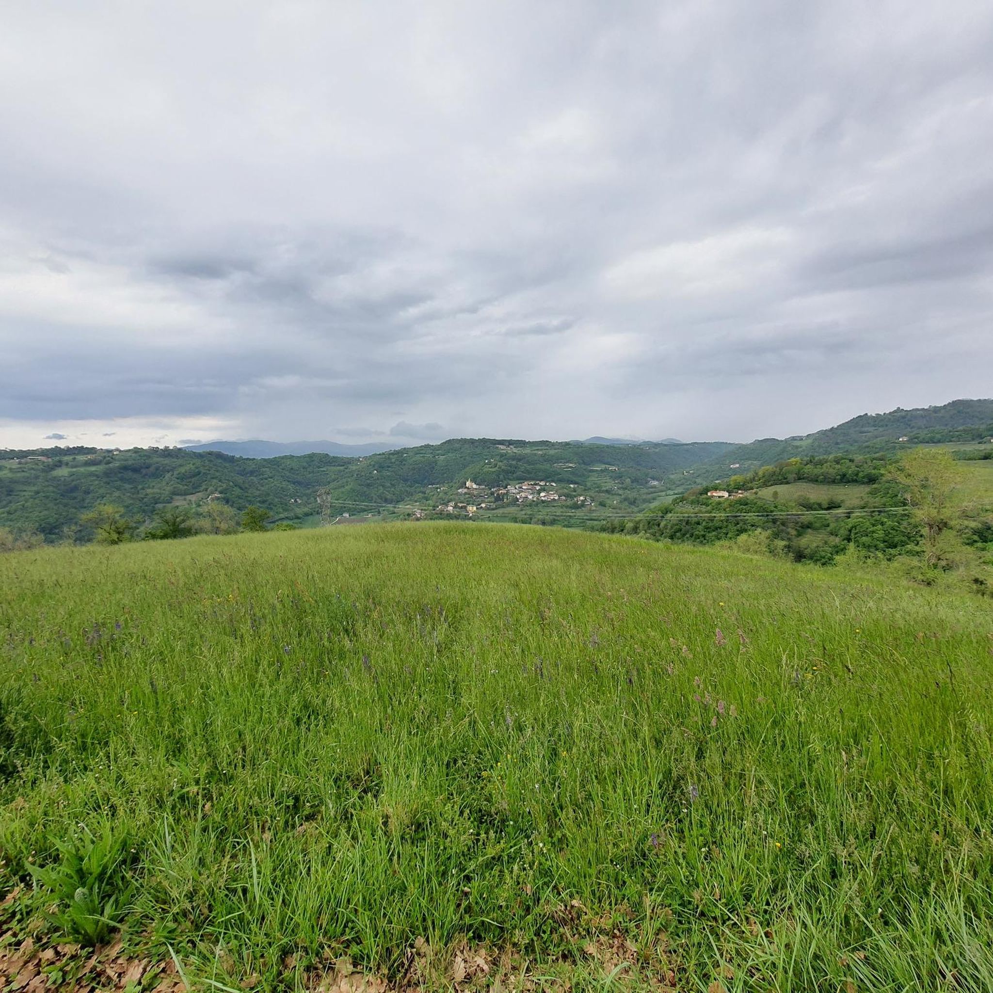
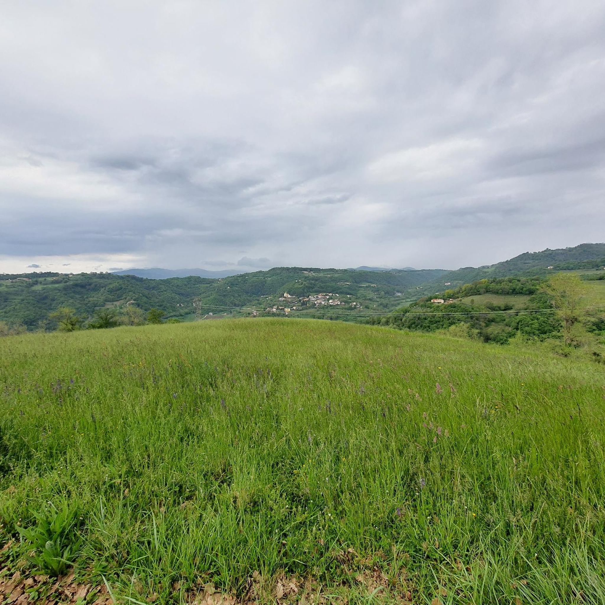
The resurgences are spontaneous outcrops of water, typical of the Po Valley: in this particular case, in the mountains the water of rain or snow origin is not retained by the karst soil of the Asiago Plateau and the Little Dolomites; instead of remaining on the surface and descending through the valleys, it infiltrates the rocks, forming cracks, tunnels and caves; after this slow journey underground, which can last 10 years, in the low plain it encounters waterproof clay layers which force it to re-emerge. It comes out very pure, very clear, full of mineral salts and at a constant temperature of 10-13°. This is how the Bacchiglione river originates, in the middle of the countryside as if by magic, and then flows through Vicenza, Padua and finally flows into the Adriatic. The Bacchiglione Resurgences are a nature reserve which, thanks to the aforementioned peculiarities of the water, create an ideal habitat to host animal and plant species not common in the surrounding areas. They are a resting place for migratory birds and there is in fact a hut for birdwatching. This oasis of peace is open on weekends and divided into three areas: the first accessible for free; the second only with a guided tour (for a fee, booking on the site a few days in advance); the last area is a complete reserve and can only be used for scientific purposes. https://www.risorgivedelbacchiglione.it
2
0

To admire this curious phenomenon, a detour from the main road is necessary. Once you reach the place, just look out into the well (with a diameter of about 50 cm) from which what is sometimes called "dragon's breath" seems to emerge from. It is nothing more than a karst cavity (characteristic of the Faedo-Casaron plateau) from which fresh air comes out (which varies between 7 and 13 degrees). Especially in the summer period, the typical rustle of the exchange of hot and cold air masses at the mouth of the cave is clearly audible. The cavity, commonly called "Buso del Lucio", was discovered by the Maladense speleologist Lucio Zanini. The valley that you travel along following the Campipiani-Faedo path is called “Valle dei Vischi”. The origin of this name is not known but it probably refers to the sound effects (breathing, hissing, moaning) that the blowing caves produce in particular climatic conditions.
0
0
Frequently Asked Questions
What unique natural features can I explore around Gambugliano?
The region around Gambugliano offers diverse natural features. You can discover the pristine fresh waters of the Bacchiglione Springs Nature Reserve, which is the origin of the Bacchiglione stream. There are also extensive cave systems like the Buso della Rana Cave, the largest in the Veneto region, and Lucio's Hole, a karst cavity known for its unique air currents. Additionally, you can find volcanic formations such as Monte Nero, a hill with dark basalt and rare plants.
Are there any natural monuments with panoramic views near Gambugliano?
Yes, for breathtaking views, visit Croce del Sojo (Monte Soglio). This large rocky spur, 700 meters above sea level, offers a wide panorama of the Alto Vicentino, the Pedemontana, and the surrounding Piccole Dolomiti. Monte Nero also provides a viewpoint, allowing you to appreciate the unique geological landscape.
What outdoor activities can I do near the natural monuments in Gambugliano?
The area around Gambugliano is excellent for various outdoor activities. You can enjoy road cycling on routes like the 'Chiesa di Torreselle – Priabona loop' or 'Villa La Rotonda – Lake Fimon loop'. For mountain biking, explore trails such as 'Cavenete Vineyard Trail' or 'Campestrini Trail'. Running enthusiasts can find routes like 'View of the Colli Vicentini loop' or 'Retrone Bike Path loop'. You can find more details on these activities in the dedicated guides for Road Cycling, MTB Trails, and Running Trails around Gambugliano.
Are there family-friendly natural monuments to visit around Gambugliano?
Absolutely! The Bacchiglione Springs Nature Reserve is ideal for families, offering serene settings for walking and cycling. Monte Nero also features a short educational trail that is suitable for children, illustrating its unique geology and botanical rarities.
What is the geological significance of the natural monuments in this region?
The natural monuments around Gambugliano showcase a rich geological history. The Bacchiglione Springs Nature Reserve is a prime example of a resurgence, typical of alluvial plain soils, where underground waters rise to the surface. The Buso della Rana Cave and Lucio's Hole are intricate karst systems formed by rainwater eroding limestone and flowing over impermeable basalt. Monte Nero is a unique volcanic hill, formed from a volcanic island that emerged 30 million years ago, characterized by its dark basalt.
Can I explore the Buso della Rana Cave, and what should I expect?
The Buso della Rana Cave is the largest cave in the Veneto region. It is freely accessible through its monumental entrance for about fifty meters along the Main Branch. Beyond this point, it becomes the preserve of speleologists due to a flooded corridor. The cave is an intricate karst system, subject to flash floods, and maintains a constant temperature of 10-12°C year-round. Adventurous guided tours are organized by associations like Biosphera.
Are there any historical aspects associated with the natural monuments?
Yes, Croce del Sojo (Monte Soglio) holds historical significance. Due to its dominant position and panoramic views, it was integrated into the defensive line of Ortogonale 1 during the First World War. After the 1916 offensive, it became a stronghold with numerous loopholes, observation posts, and positions for light weapons dug into the rock.
What makes the Bacchiglione Springs Nature Reserve special?
The Bacchiglione Springs Nature Reserve is special because it's a resurgence, a natural source of remarkably clear fresh water that forms the origin of the Bacchiglione stream. The constant water temperature (between 10° and 13°C) creates a unique microclimate, supporting animal and plant species uncommon in neighboring areas. It's a serene natural setting perfect for walking and cycling.
What is Lucio's Hole and what can I experience there?
Lucio's Hole, also known as 'Buso del Lucio', is a karst cavity in the Faedo-Casaron plateau. It's notable for the fresh air that emerges from its well-like opening, maintaining a temperature between 7 and 13 degrees Celsius. Especially in summer, you can clearly hear the typical rustle of air masses exchanging at the mouth of the cave, sometimes described as a 'dragon's breath'.
What is the best time to visit the natural monuments around Gambugliano?
While specific seasonal recommendations vary by monument, the constant temperatures inside caves like Buso della Rana Cave make them accessible year-round. For outdoor sites like the Bacchiglione Springs Nature Reserve, Croce del Sojo, and Monte Nero, spring and autumn generally offer pleasant weather for walking, cycling, and enjoying the panoramic views without extreme heat or cold.
Are there any trails or paths suitable for walking around Monte Nero?
Yes, Monte Nero features a short educational trail that starts from the Church of San Pietro. This trail is suitable for children and illustrates the unique geological, morphological, and botanical peculiarities of this ancient volcanic hill through six stages or panels.
What kind of terrain can I expect on trails near these natural monuments?
The terrain varies significantly. Around the Bacchiglione Springs Nature Reserve, you'll find flat paths ideal for walking and cycling. Trails leading to viewpoints like Croce del Sojo involve ascents to a rocky spur. For caves like Buso della Rana, the initial sections are accessible, but deeper exploration requires navigating intricate karst systems. Monte Nero offers paths over primitive, solidified lava flows.
Most popular routes around Gambugliano
Most popular attractions around Gambugliano

Get inspired with the komoot mobile app


Explore more
Extend your search for the best caves by checking out these guides of the top ones around Gambugliano:
