Top 20 Natural Monuments around San Pietro Mussolino
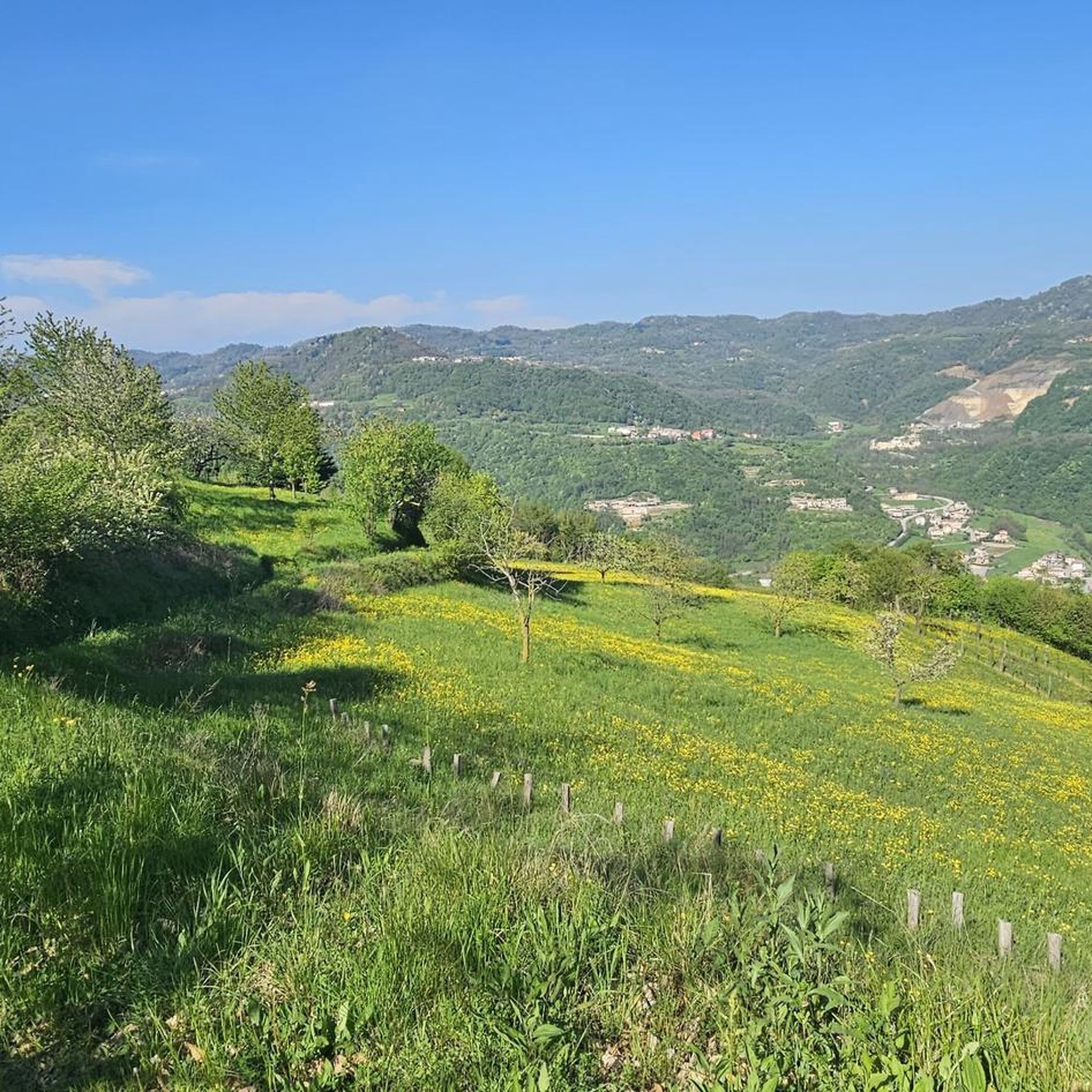
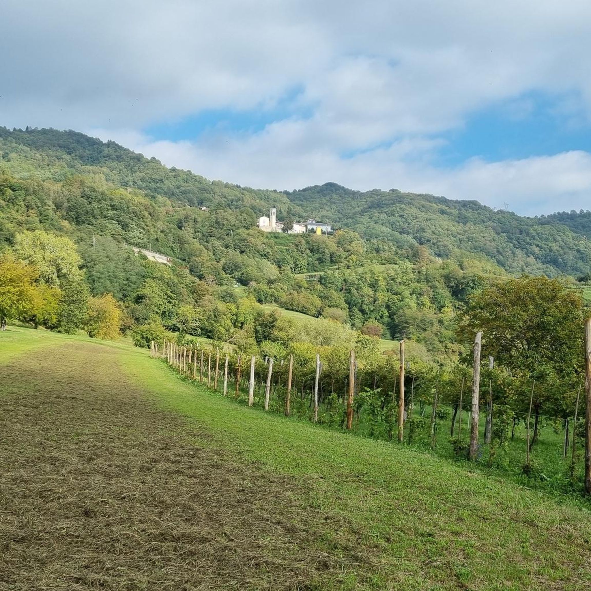
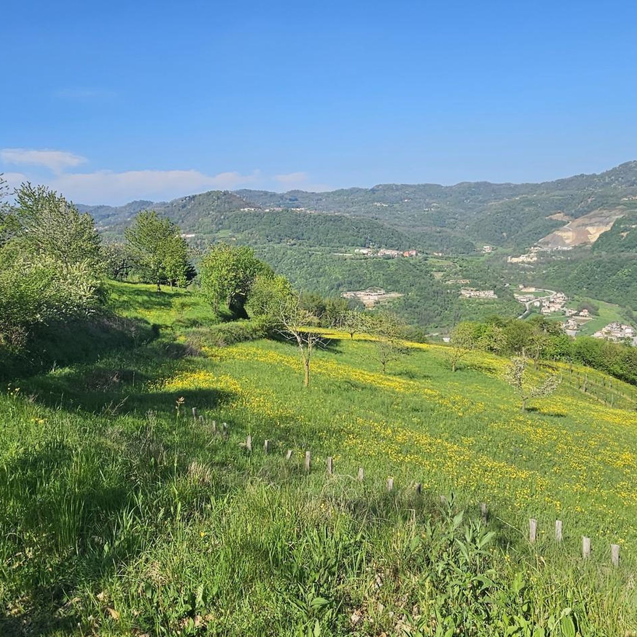
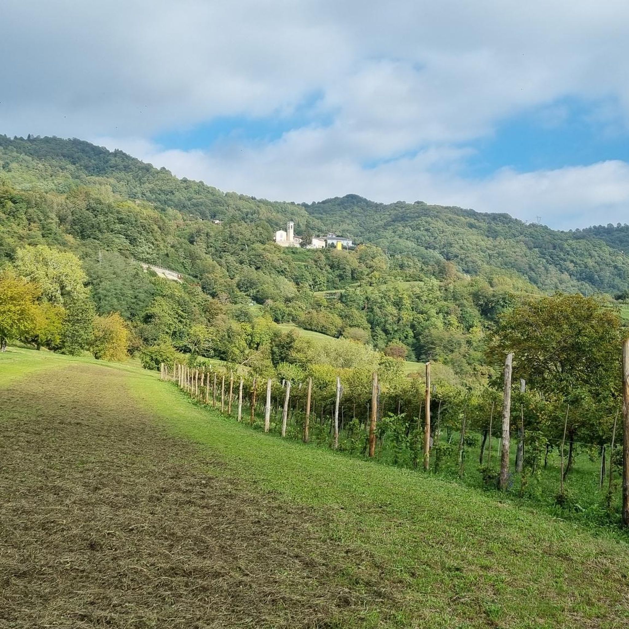
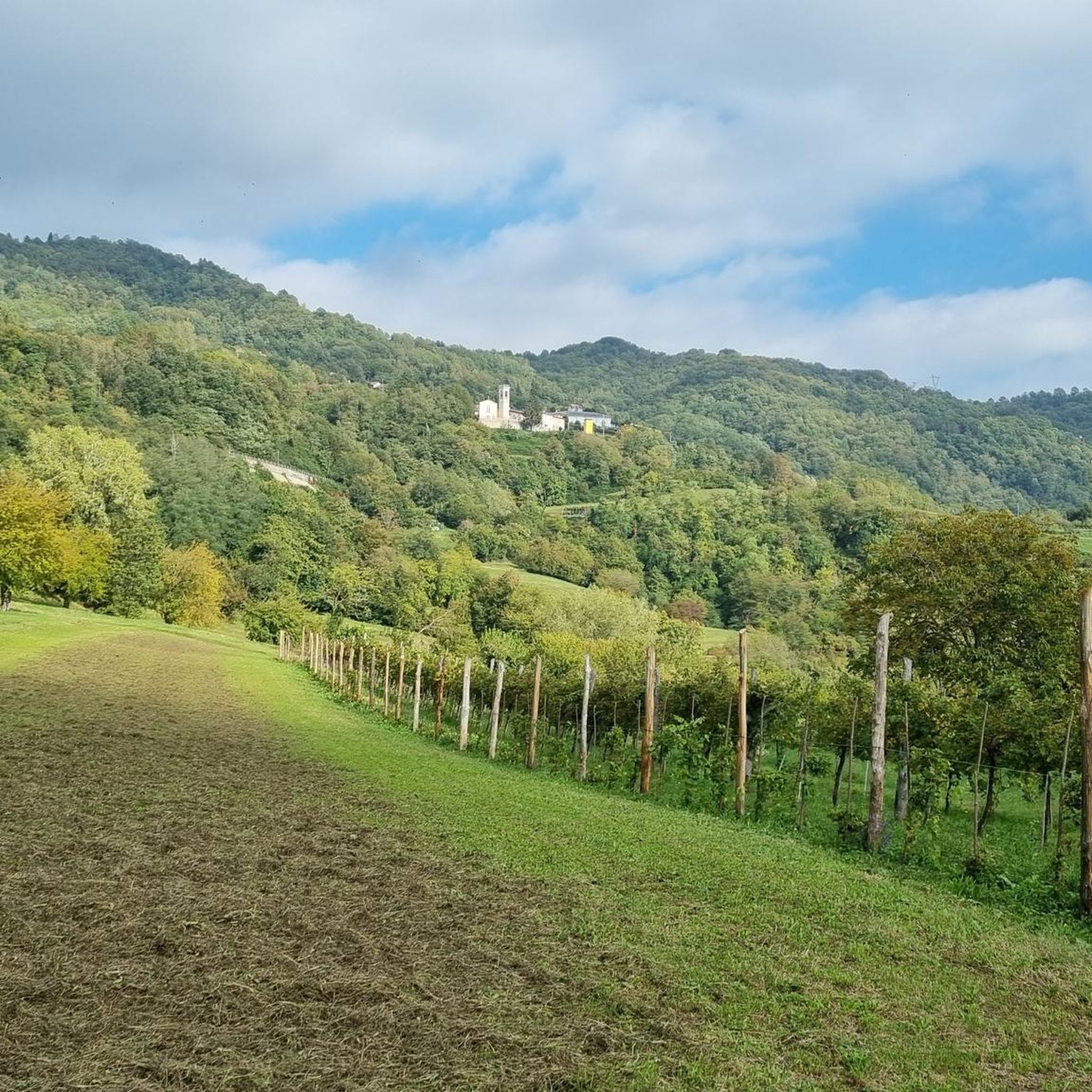
Best natural monuments around San Pietro Mussolino are found within a region characterized by hilly and mountainous terrain, nestled in the green valley of the Chiampo river. This area offers numerous naturalistic attractions and itineraries for outdoor enthusiasts. The landscape provides a setting for exploring diverse natural features and enjoying tranquil environments. Visitors can discover various scenic routes and verdant landscapes that define this part of the Vicenza province.
Best natural monuments around San Pietro Mussolino
- The most popular natural…
Last updated: July 11, 2026
Papalini Waterfall
Highlight • Waterfall
Translated by Google •
Tip by

Buso della Rana Cave
Highlight • Cave
Translated by Google •
Tip by

Sign up now to discover places like this
Get recommendations on the best single tracks, peaks, & plenty of other exciting outdoor places.
Sign up for free
Buso delle Anguane Cave
Highlight • Cave
Translated by Google •
Tip by
Turigi Viewpoint
Highlight • Viewpoint
Translated by Google •
Tip by


Sign up for free to discover even more natural monuments around San Pietro Mussolino.
Sign up for free
Already have an account?
Start today with a free account
Your next adventure awaits.
Login or Signup
Tips from the Community

The Buso della Rana is the largest cave in the Veneto region and one of the most extensive in Italy, with a network of caves stretching almost 30 km in total (40 km including the Pissatèla complex above, to which it is connected). Located beneath the Faedo-Casaròn Plateau, it is an intricate karst system that collects and channels the plateau's waters into the Rio Rana, which flows at the entrance. It was formed when rainwater seeps into the permeable limestone surface layer and, encountering the underlying impermeable basalt (volcanic rock), flows laterally, eroding the rock. Over millions of years, this has created a complex labyrinth of horizontal tunnels, chambers, chimneys, siphons, and small lakes traversed by underground streams. Because it drains the plateau's waters, the cave is subject to flash floods, making exploration treacherous. Inside, the temperature remains constant between 10 and 12°C year-round. It is freely accessible through the monumental entrance and by proceeding along the Main Branch for about fifty meters, until reaching the first flooded corridor or Siphon, a horizontal constriction that requires crawling. From there, it is the preserve of speleologists or exciting and adventurous guided tours organized by associations like Biosphera (see link). The internal branches are not marked, and one must know the way. The name of the cave has nothing to do with the amphibian, but is an Italianized term from the Cimbrian word "roan," meaning "rocky wall," referring to the cliff at the entrance. https://www.busodellarana.it https://esplora.biosphaera.it/luoghi/buso-della-rana/
0
0
The Buso delle Anguane is a fascinating cave in the rock with a natural balcony overlooking the Chiampo Valley: a place of mystery and legends, in ancient folk tales it was the home of the anguane, evil creatures that attracted men with their comely appearance. https://it.wikipedia.org/wiki/Anguana The path to reach the cave is quite impervious and challenging, not very visible and not signposted along the asphalt road.
0
0
The Cascata dei Papalini suddenly appears in a small clearing in the heart of the forest, along the path: over time the falling water has formed a columnar deposit of gray limestone that descends like a drape and that partly acts as a springboard for the jet. But the peculiarity and spectacular nature of this waterfall is the possibility of seeing it even from behind the scenes: in fact, by climbing to the left on a short but steep path, you reach a natural roof of the rock from which you can observe the forest below through the curtain of water, without getting wet! The passage is not protected and is wet, so you need to pay particular attention. Like all torrential waterfalls, it is not always full and active: you need to look for the right period, perhaps after heavy rains, to visit it in all its thunderous splendor.
1
0

Point quite easy to reach unless it has rained recently, in which case I would advise caution. Very suggestive view from inside the "Buso"
0
0

Beautiful waterfall, it looks like a face with one eye, a big nose and teeth😊
1
0

panoramic point over the Agno valley and the Little Dolomites. One of the few spots as the trail always runs through bush.
0
0

The Papalini waterfall is a small waterfall in the middle of the woods, it deserves to be seen
0
0
Beautiful panoramic point immediately below the Turigi peak (or Turiggi), along the suggestive path along the crest of the Castiglieri: the view ranges 360° from the Piccole Dolomiti to the Pianura. The terrace, which also has a stone 'compass' indicating the peaks and main locations, was built and cared for by a group of volunteers, like the entire Braggion Trail. N.B.: the summit of Monte Turigi (with the cross) is actually slightly higher, and can be reached via a nearby path; but it is a small clearing surrounded by trees that hide the view.
2
0
Frequently Asked Questions
What types of natural features can I explore around San Pietro Mussolino?
The San Pietro Mussolino region, nestled in the green valley of the Chiampo river, is characterized by its hilly and mountainous terrain. Visitors can explore a variety of natural features including waterfalls, caves, panoramic viewpoints, and summits. The area is known for its flourishing nature and tranquil atmosphere, offering diverse landscapes for outdoor enthusiasts.
Are there any unique natural monuments or trails in the area?
Yes, a prominent naturalistic highlight is Il Sentiero delle Api (The Path of the Bee). This beautiful trail spans approximately ten kilometers, winding through woods and hamlets. A significant feature along the path is the sculpture 'l'Ape di Vaia' (the Vaia Bee), an artwork emphasizing the importance of bees in the ecosystem. The trail offers an immersive experience into the natural landscape, combining trekking with cultural and ecological awareness.
What are some of the most popular viewpoints in San Pietro Mussolino?
Visitors highly appreciate the Turigi Viewpoint, which offers stunning 360° views from the Piccole Dolomiti to the Pianura. This terrace even includes a stone 'compass' indicating various peaks and locations. Another popular spot is Croce del Sojo (Monte Soglio), a rocky spur providing a wide panorama of the Alto Vicentino and the Piccole Dolomiti.
Are there any waterfalls to visit in the region?
Yes, the Papalini Waterfall is a beautiful small waterfall situated within a forest setting. It offers the unique opportunity to walk behind its veil of water, providing a memorable experience.
What kind of caves can be found near San Pietro Mussolino?
The area features interesting karst formations. You can explore the Buso delle Anguane Cave, a small cave open on both sides with impressive views of the opposite valley. Another notable karst cavity is Lucio's Hole, known for the fresh air that emerges from it, sometimes referred to as 'dragon's breath'.
What outdoor activities can I do near these natural monuments?
The region offers a variety of outdoor activities. For cycling enthusiasts, there are numerous routes for touring bicycles, mountain bikes, and road bikes. You can find detailed guides for Cycling around San Pietro Mussolino, MTB Trails around San Pietro Mussolino, and Road Cycling Routes around San Pietro Mussolino.
Are there family-friendly natural attractions or trails?
Yes, Il Sentiero delle Api (The Path of the Bee) is considered a suitable excursion for families, offering a blend of nature, art, and local flavors. The area's tranquil atmosphere and flourishing nature make it an appealing destination for family outings.
What is the best time to visit the natural monuments around San Pietro Mussolino?
During the summer, guided walks are often organized along trails like Il Sentiero delle Api, sometimes including gastronomic stops. The region's verdant landscapes are particularly appealing in warmer months, though the natural beauty can be enjoyed across seasons.
Are there any historical aspects associated with the natural monuments?
Yes, Croce del Sojo (Monte Soglio), due to its dominant position, was integrated into a defensive line during the First World War. It became a stronghold with numerous loopholes and observation posts dug into the rock, offering a glimpse into its historical significance alongside its natural beauty.
What do visitors enjoy most about the natural monuments in San Pietro Mussolino?
Visitors frequently praise the stunning panoramic views, the unique experience of walking behind the Papalini Waterfall, and the intriguing geological features of the caves. The overall tranquility and natural beauty of the region, combined with well-maintained trails and the cultural elements like the Vaia Bee sculpture, are highly appreciated by the komoot community.
What are the typical difficulty levels for trails in the area?
The region offers walking itineraries with varying lengths and difficulty levels. For instance, some trails are intermediate, while others, like those leading to certain caves or summits, can be challenging due to impervious steps or elevation gains. There are options suitable for different fitness levels, from moderate family walks to more demanding treks.
Most popular routes around San Pietro Mussolino
Most popular attractions around San Pietro Mussolino

Get inspired with the komoot mobile app


Explore more
Extend your search for the best caves by checking out these guides of the top ones around San Pietro Mussolino:
