Top 5 Natural Monuments in Sierra Del Carche
Best natural monuments in Sierra Del Carche are found within this Regional Park, located in the northeastern part of Murcia, Spain. Covering an area of 5,942 hectares between the municipalities of Jumilla and Yecla, the park features significant geological formations and diverse natural landscapes. It is home to a variety of natural features, including peaks, unique geological structures, and historical elements. The park offers hiking routes that allow exploration of its natural beauty.
Best natural monuments in Sierra Del Carche
…Last updated: June 27, 2026
Entrance to Sierra del Carche Natural Park
Highlight • Trail
Translated by Google •
Tip by

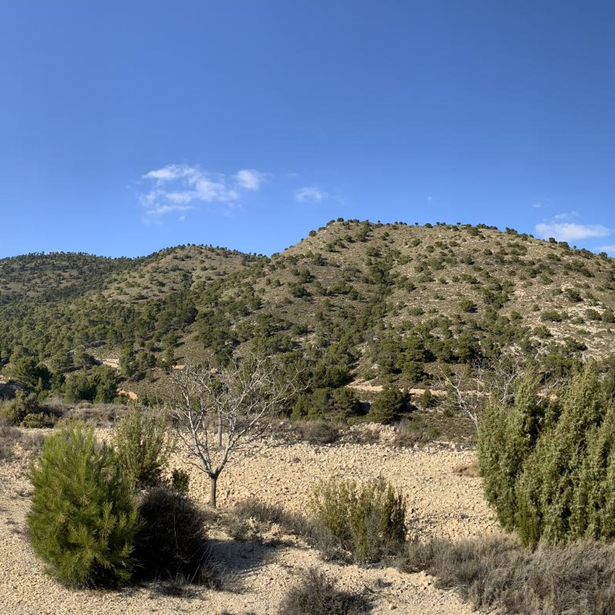
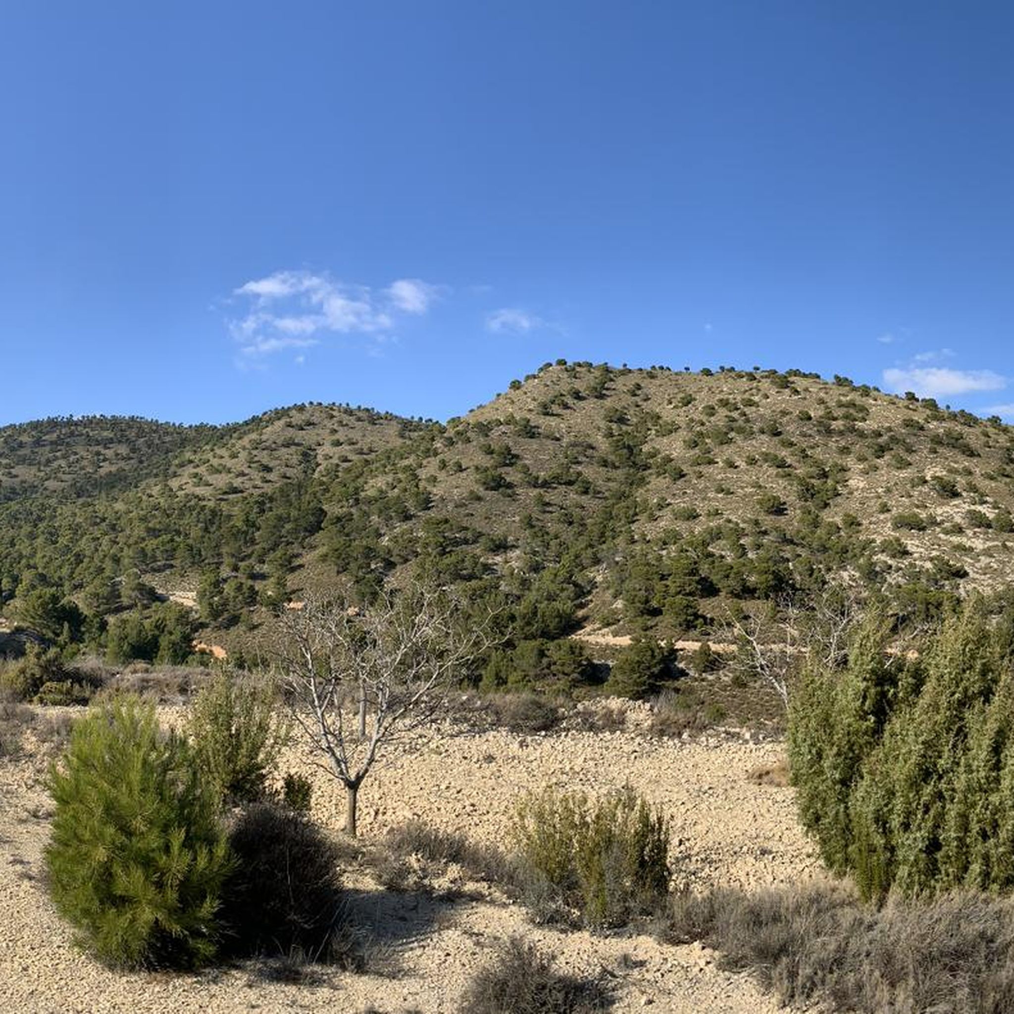
Pico de la Madama del Carche (1372 m) and Refugio
Highlight • Summit
Tip by

Sign up now to discover places like this
Get recommendations on the best single tracks, peaks, & plenty of other exciting outdoor places.
Sign up for free
Boca del Infierno (Parque Regional de Sierra del Carche)
Highlight (Segment) • Gorge
Translated by Google •
Tip by

Morra de la Mina Sinkhole
Highlight • Cave
Tip by
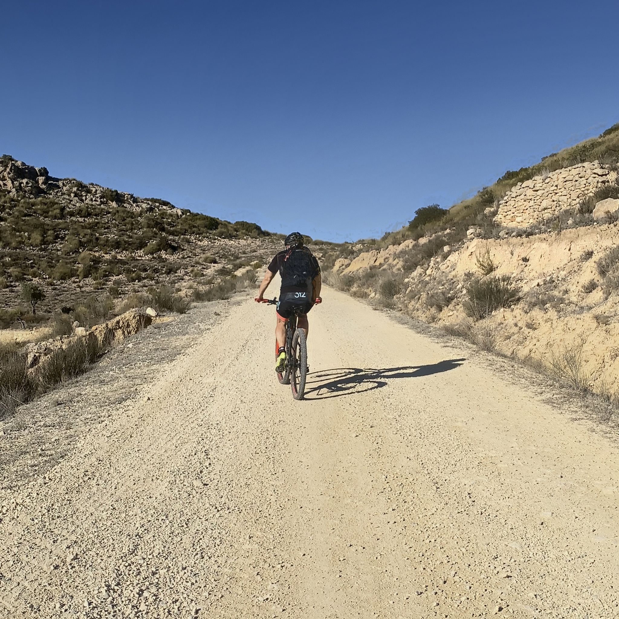
Descent With Panoramic View in Sierra del Carche Regional Park
Highlight (Segment) • Trail
Translated by Google •
Tip by

Sign up for free to discover even more natural monuments in Sierra Del Carche.
Sign up for free
Already have an account?
Start today with a free account
Your next adventure awaits.
Login or Signup

Tips from the Community

Pico de la Madama is the highest peak in the Sierra del Carche mountain range in southeastern Spain, near the towns of Jumilla and Yecla in the Murcia region. The mountain reaches an altitude of approximately 1,371 meters and lies within the protected Sierra del Carche Regional Park. The summit is a popular destination for hikers and mountain bikers. Several forest roads and trails lead to the top. Near the summit, there is a viewpoint, a small bivouac shelter, and even a launch site for paragliders and hang gliders. From the top, there are sweeping views across the arid landscape of the Murcia region.
0
1

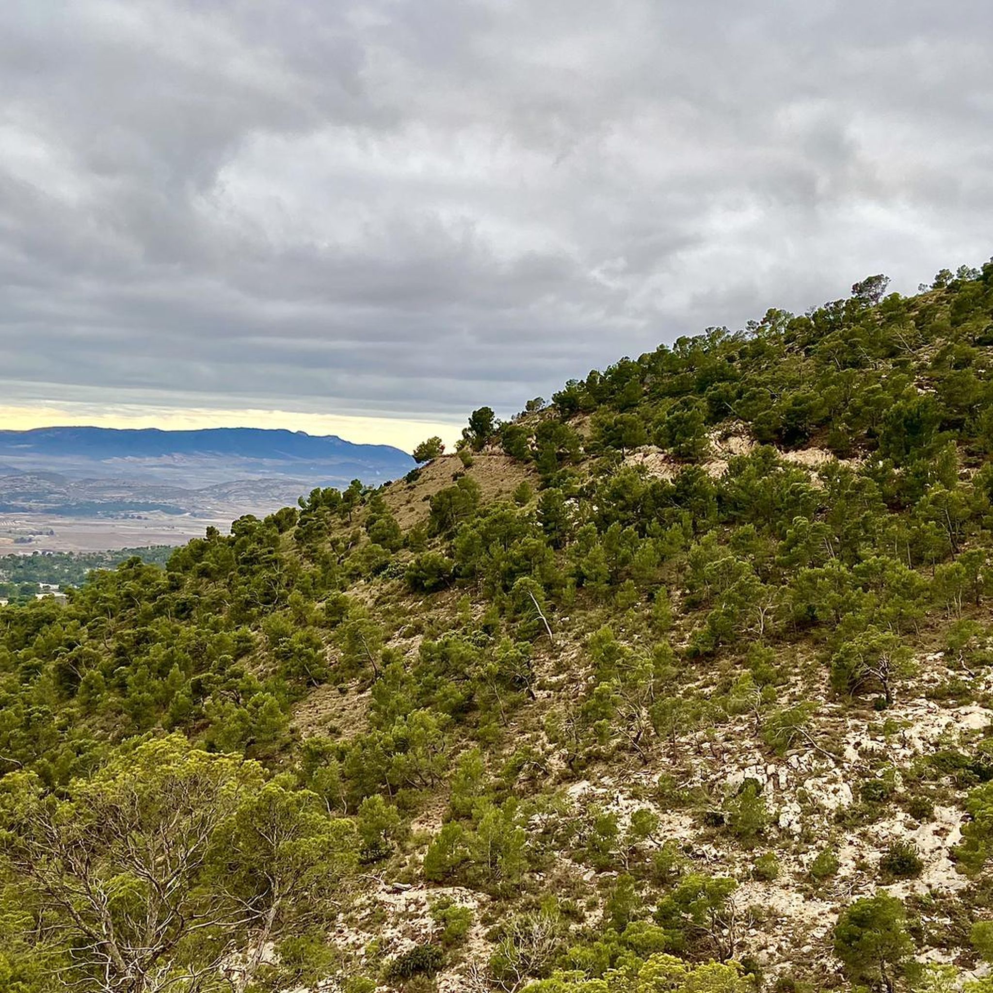
The entrance to the Sierra del Carche Regional Park is an access point to an exceptional natural environment in the Region of Murcia, specifically in the northeastern quadrant. The Sierra del Carche offers hiking routes that allow you to explore its natural beauty. From the entrance to the park, you can enter paths surrounded by vegetation, enjoy panoramic views and discover the richness of its fauna and flora.
3
0

From La Madama del Carche and the Refugio, there are magnificent views of all the surrounding mountains like El Buey, La Pila etc
2
0
this is a natural fault line and care must be taken. it is fenced off for safety reasons and is indicated as to be 45m deep.
3
0
The Sierra del Carche Regional Park is located in the northeast of the Region of Murcia. The Sierra del Carche offers us endless possibilities for enjoyment and contact with nature.
9
0

Over hill and dale
2
0

The highest peak of Carche is 1372 meters high, it is located next to the Madama shaded area. The best known ravines are San Cristóbal, Guarafía and Yedra. There are various archaeological sites from settlements of the Bronze Age and later of the Iberians
1
0

A great area. Lots of neat, steep climbs. But you can also stay on the big paths. These are good to go.
3
0
Frequently Asked Questions
What unique geological formations can I explore in Sierra del Carche?
Sierra del Carche is home to several fascinating geological features. You can visit the Morra de la Mina Sinkhole, a natural fault line that is fenced off for safety due to its 45-meter depth. Another notable site is Cabezo de la Rosa, a unique elevation with reddish tones due to its composition of salts and plasters, formed over 200 million years ago. The park also features dipping faults, a salt diapir, and a karst system with precipices and caves.
Are there any historical sites or monuments in Sierra del Carche?
Yes, Sierra del Carche offers a glimpse into the past. You can find remains of Bronze Age and Roman settlements within the park. Additionally, the 17th-century El Pozo de la Nieve (The Snow Well), recently restored, stands as a unique example of historical snow storage techniques used for food preservation.
What are the best viewpoints for panoramic scenery in the region?
For breathtaking panoramic views, head to Pico de la Madama del Carche, the highest peak at 1,372 meters. From here, you can enjoy magnificent vistas of the surrounding mountains and the arid landscape of the Murcia region. There's also a Descent With Panoramic View trail that offers great scenery during your journey.
What kind of wildlife can I expect to see in Sierra del Carche?
Sierra del Carche is a haven for diverse wildlife, especially raptors. You might spot species like the kestrel, peregrine falcon, eagle owl, and golden eagle nesting on steep slopes. Other birds of prey, such as the sparrowhawk and booted eagle, inhabit the forest. Mammals like badgers, wild cats, foxes, and wild boar also roam the area, making it an excellent spot for wildlife observation.
Are there any family-friendly hiking options near the natural monuments?
Yes, there are easy hiking options suitable for families. You can explore routes like the Parking Area – View of Sierra del Carche loop from La Yedra, which is an easy 3.3 km trail. For more choices, check out the Easy hikes in Sierra Del Carche guide.
What are the best hiking trails to explore the natural monuments?
The Sierra del Carche offers various hiking trails to discover its natural beauty. For a challenging experience, consider the Tour of the Carche Mountain Range Regional Park, a 17.3 km difficult route. A moderate option is the Casas del Cantal – Morra de la Mina Sinkhole loop, covering 14.4 km. You can find more trails in the Hiking in Sierra Del Carche guide.
Can I go mountain biking near the natural monuments?
Absolutely! Sierra del Carche is popular for mountain biking. Routes like the Salinas de la Rosa, Pozo de la Nieve – Ruta Circular offer a challenging 30.6 km ride. For more options, consult the MTB Trails in Sierra Del Carche guide.
What is the best time of year to visit Sierra del Carche?
The best time to visit Sierra del Carche for hiking and outdoor activities is generally during spring (April-May) and autumn (September-October). During these seasons, the weather is milder and more pleasant for exploration, avoiding the intense heat of summer and potential colder, wetter conditions in winter.
Are there any impressive ravines or waterfalls to see?
Yes, the Sierra del Carche features impressive ravines such as San Cristóbal, La Guarafía, and La Yedra. During periods of heavy rainfall, these ravines can create spectacular waterfalls, particularly at El Saltador, adding a dynamic natural spectacle to the landscape. The Boca del Infierno is another notable gorge to explore.
What are the main natural features of Pico de la Madama?
Pico de la Madama is the highest peak in the Sierra del Carche, reaching 1,372 meters. It is known for its panoramic views and supports unique flora adapted to harsh climatic conditions, including black pine forests, blue broom, lavender, and bearberry. It's also a popular spot for paragliders and hang gliders.
What do visitors enjoy most about the natural monuments in Sierra del Carche?
Visitors particularly enjoy the diverse natural environment, from the challenging climbs to the serene descents. The magnificent views from peaks like Pico de la Madama are highly appreciated, as is the opportunity to connect with nature in areas like Boca del Infierno. The park's well-maintained paths and the sense of discovery, including historical elements, also contribute to a rewarding experience.
Most popular routes in Sierra Del Carche
Most popular attractions in Sierra Del Carche

Get inspired with the komoot mobile app


Explore more
Extend your search for the best caves by checking out these guides of the top ones in Sierra Del Carche:
