Top 6 Mountain Passes around Parco regionale Monti Picentini
Best mountain passes around Parco regionale Monti Picentini offer access to diverse natural beauty and challenging hiking routes. This region features high-altitude saddles, dense forests, and river valleys, providing a network of trails for various ability levels. The park is characterized by its numerous peaks and serves as a significant area for Monti Picentini hiking trails.
Best mountain passes around Parco regionale Monti Picentini
- The most popular mountain passes is Le Croci di Acerno, a mountain pass that marks…
Last updated: July 11, 2026
Varco della Teglia
Highlight • Mountain Pass
Translated by Google •
Tip by

Le Croci di Acerno
Highlight • Mountain Pass
Translated by Google •
Tip by

Sign up now to discover places like this
Get recommendations on the best single tracks, peaks, & plenty of other exciting outdoor places.
Sign up for free
Serino–Monte Terminio Provincial Road
Highlight • Mountain Pass
Translated by Google •
Tip by

Colla Finestra Pass
Highlight • Mountain Pass
Translated by Google •
Tip by
Porta di Monte Accellica (1,250 m)
Highlight • Mountain Pass
My friend Alessandro, an expert on the mountain, told me that from this point begins "l'Accellica" and you notice it, especially in summer, with a significant change in temperature and wind.
Translated by Google •
Tip by

Sign up for free to discover even more mountain passes around Parco regionale Monti Picentini.
Sign up for free
Already have an account?
Start today with a free account
Your next adventure awaits.
Login or Signup
Popular around Parco regionale Monti Picentini
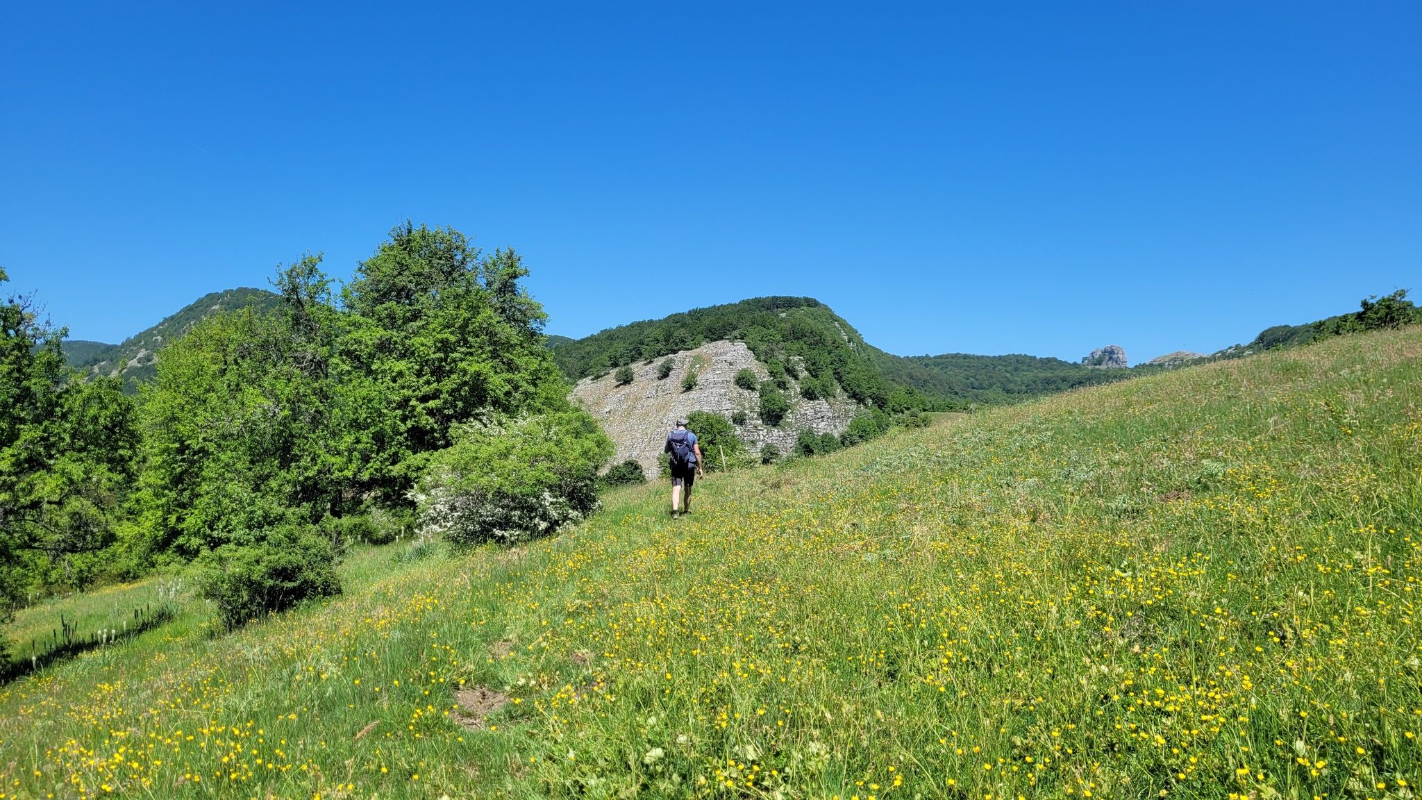
Sentiero Italia – A journey into the heart of Campania
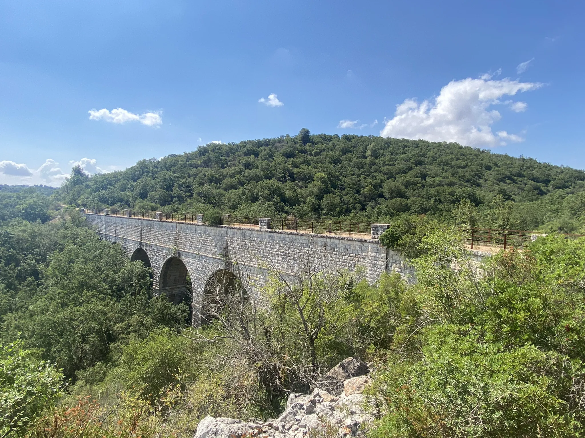
Caposele to Santa Maria di Leuca – Apulian Aqueduct Cycle Route
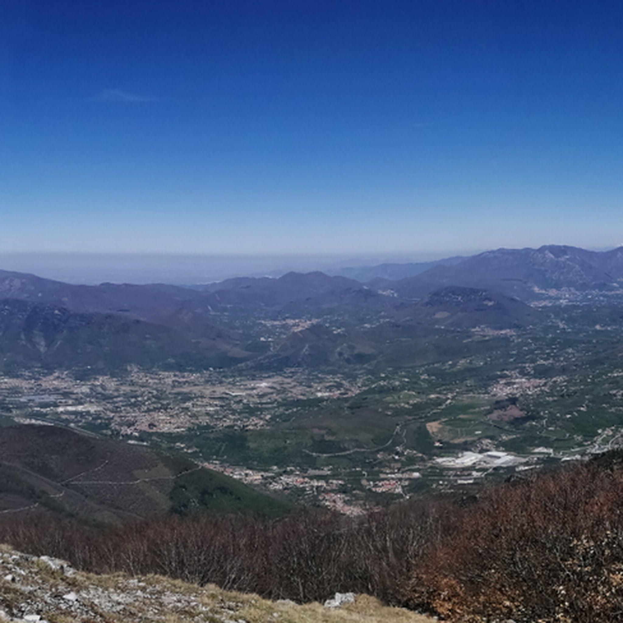
Hiking around Parco regionale Monti Picentini
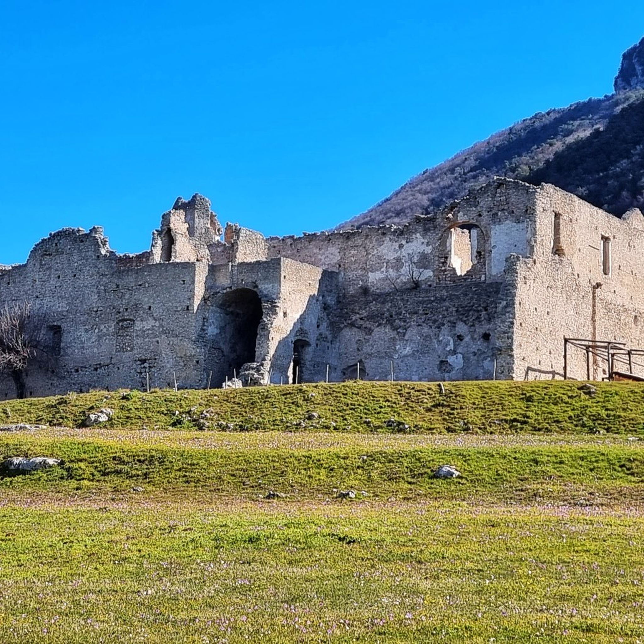
MTB Trails around Parco regionale Monti Picentini
Running Trails around Parco regionale Monti Picentini
Cycling around Parco regionale Monti Picentini
Road Cycling Routes around Parco regionale Monti Picentini

Gravel biking around Parco regionale Monti Picentini
Other adventures around Parco regionale Monti Picentini


Tips from the Community

From here begins the climb up the northern side of Mount Accellica
0
0

This is the Porta di monte Accellica (1250 m). My friend Alessandro, an expert on the mountain, told me that from this point begins "l'Accellica" and you notice it, especially in summer, with a significant change in temperature and wind.
2
0
You come across Varco della Teglia when you want to reach Tuppo dell'Uovo or Mount Mai. The Varco della Teglia overlooks the Vallone della Tornola to the north and is surmounted to the west by the bulk of the Tuppo dell'Uovo, a large and singular spire which owes its name to its ovoid shape. Here is the intersection with route no. 116. It can be reached shortly on the left leaving the wood among laburnum trees up a stony passage to reach the summit of Tuppo dell'Uovo (Toppo), from which Pizzo San Michele, Teminio, the Monti di Quarry and Monte Mai. Trekking clothing, sturdy shoes and mountaineering experience are required.
4
0

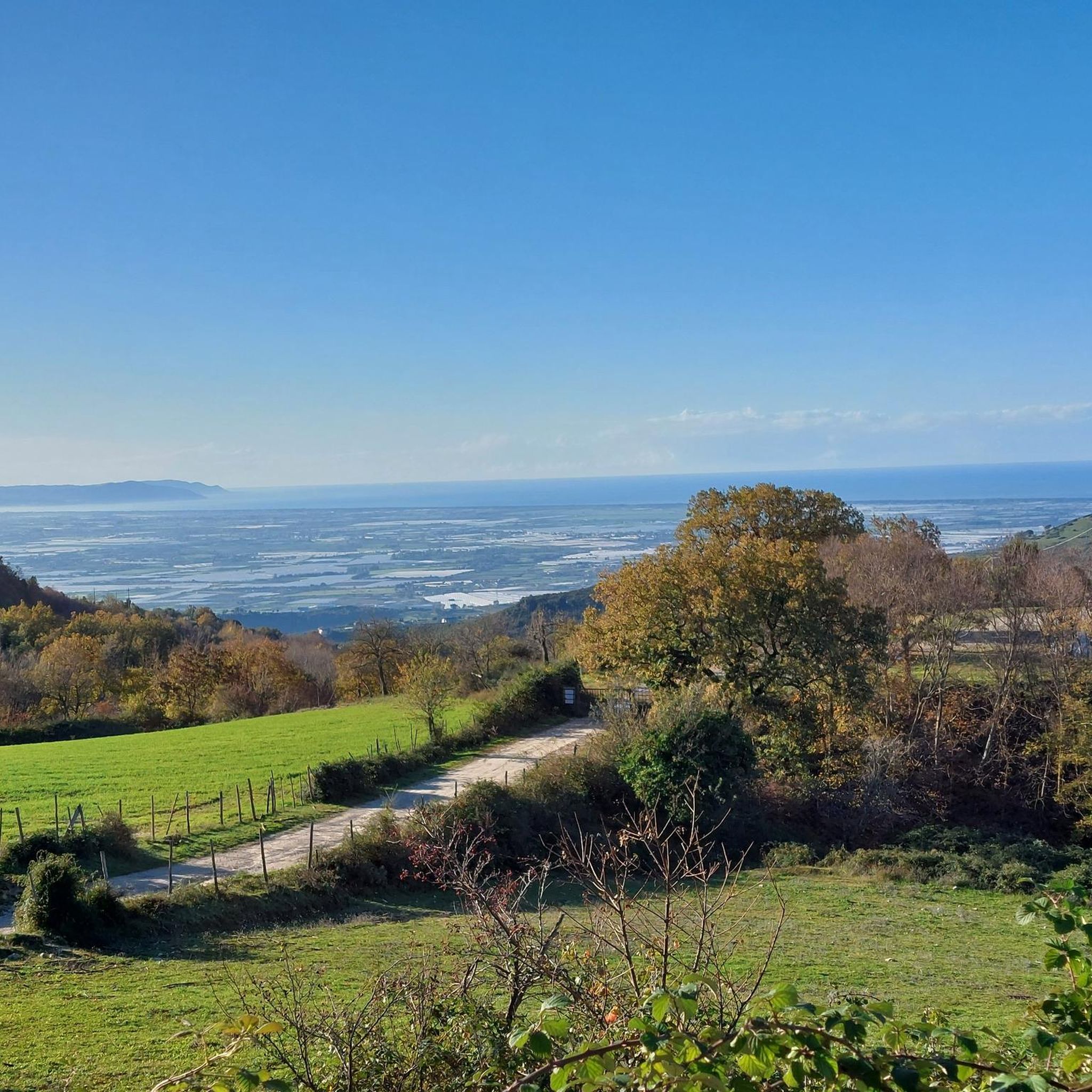
The pass of the Croci di Acerno marks the border between the provinces of Salerno and that of Avellino. At an altitude of 840 meters, several paths start from here within the Regional Park of the Picentini Mountains.
2
0

Intersection point of various paths.
4
0
Intersection point of the CAI 111 path from Barrizzullo and CAI 104 which leads up to the Accellica.
3
0
Location the Crosses of Acerno
7
0
Location the crosses of Acerno.
3
0
Frequently Asked Questions
What is the difficulty level of mountain passes in Parco regionale Monti Picentini?
The mountain passes in Parco regionale Monti Picentini offer a range of difficulties, from intermediate to challenging. For instance, Varco della Teglia is part of a challenging hiking route, while Le Croci di Acerno and Colla Finestra Pass are considered intermediate. The park's terrain includes diverse landscapes, dense forests, and significant elevation changes, catering to various experience levels.
Are there challenging mountain passes for experienced hikers in Parco regionale Monti Picentini?
Yes, experienced hikers will find challenging routes. Varco della Teglia, situated at 1,460 meters, is an integral part of the Alta via Monti Picentini Occidentale and connects prominent peaks like Pizzo San Michele and Monte Mai. This area is recommended for those seeking difficult terrain and significant elevation gain, with panoramic views of the Lattari Mountains and the Gulf of Salerno.
Can I find easy mountain passes suitable for less experienced visitors?
While many passes involve hiking, some areas offer easier access or less arduous routes. For example, Colle del Leone (Valico Colle del Leone) at 1,226 meters, while not listed as a highlight, is a crucial starting point for ascending Monte Cervialto via its easiest, though longest, path. This trail begins wide and gravelly, winding through picturesque beech forests, making it generally easy to follow for those looking for a less strenuous climb to a major peak.
What kind of natural features and viewpoints can I expect to see?
The mountain passes in Parco regionale Monti Picentini offer stunning natural beauty. You can expect panoramic viewpoints, dense beech forests, and diverse terrain. From passes like Varco della Teglia, you can see the Lattari Mountains and the Gulf of Salerno. Other passes like Serino–Monte Terminio Provincial Road also provide breathtaking views. The region is characterized by its numerous peaks and river valleys.
When is the best time of year to visit the mountain passes in Parco regionale Monti Picentini?
The best time to visit the mountain passes for hiking is generally during spring, summer, and early autumn when the weather is milder and trails are more accessible. During these seasons, you can fully enjoy the lush forests and panoramic views. Winter can bring snow and colder temperatures, making some routes more challenging and requiring appropriate gear and experience.
Are the mountain passes in Parco regionale Monti Picentini suitable for families or dogs?
Many trails within Parco regionale Monti Picentini are suitable for families and dogs, especially those that are less strenuous. The initial part of the trail from Colle del Leone, for instance, is wide and gravelly, winding through beech forests, which can be pleasant for families. However, some passes, like Varco della Teglia, are part of challenging routes requiring mountaineering experience, so it's important to check the specific trail difficulty before heading out with family or pets.
What outdoor activities can I do near the mountain passes?
Beyond exploring the mountain passes themselves, Parco regionale Monti Picentini offers a variety of outdoor activities. You can find numerous hiking trails, including easy, moderate, and difficult options. There are also road cycling routes available, such as those around Lago Laceno or towards Ruspoli Castle. For more details on hiking, you can explore guides like Waterfall hikes around Parco regionale Monti Picentini or Easy hikes around Parco regionale Monti Picentini. For cycling, check out Road Cycling Routes around Parco regionale Monti Picentini.
Are there specific hiking trails accessible from these passes?
Yes, many mountain passes serve as crucial access points for hiking trails. For example, Le Croci di Acerno, at 840 meters, marks the border between Salerno and Avellino provinces and is a starting point for several paths within the Regional Park. Colla Finestra Pass is an intersection point with the CAI 104 path leading to the NE peak of Accellica. Varco della Teglia is an intersection of paths 116 and 116A, leading to peaks like Tuppo dell'Uovo and Monte Mai.
How accessible are the mountain passes by car or public transport?
Accessibility varies by pass. Some passes, like Serino–Monte Terminio Provincial Road, are accessible by car, offering a route with varying slopes. For other passes, you might need to drive to a nearby trailhead and then hike. Public transport options to the more remote trailheads within the Parco regionale Monti Picentini can be limited, so planning ahead is advisable.
What do visitors particularly appreciate about the mountain passes in Parco regionale Monti Picentini?
Visitors appreciate the diverse natural beauty, the challenging yet rewarding hiking experiences, and the stunning panoramic views. The komoot community has shown significant appreciation, with more than 10 upvotes and over 200 photos shared across the mountain passes. Highlights like Serino–Monte Terminio Provincial Road are noted for their 'breathtaking view,' while Varco della Teglia is valued for its intersection of various paths and the vistas it offers.
Are there any less-known or 'hidden gem' mountain passes to explore?
While the park is known for its prominent peaks, some high-altitude points serve as passes that might feel like hidden gems due to their integration into hiking routes rather than being standalone destinations. Colle del Leone, for instance, offers a serene natural environment with ancient beech trees and beautiful views towards Solofra, serving as a crucial access point to Monte Cervialto. These less-trafficked areas provide a sense of discovery for those looking to venture beyond the most popular spots.
What should I wear for hiking in the Monti Picentini, especially in winter?
For hiking in the Monti Picentini, especially to higher passes, sturdy shoes and appropriate trekking clothing are essential. In winter, conditions can be challenging, with significant temperature drops and potential snow. Mountaineering experience and specialized winter gear, including warm layers, waterproof outerwear, and possibly snowshoes or microspikes, would be required for safe exploration of the higher passes during this season.
Most popular routes around Parco regionale Monti Picentini
Most popular attractions around Parco regionale Monti Picentini

Get inspired with the komoot mobile app


Explore more
See even more epic mountain passes by checking out these guides around Parco regionale Monti Picentini:
