National Park Sierra de Tejeda, Almijara y Alhama
National Park Sierra de Tejeda, Almijara y Alhama
Top 9 Mountain Passes around National Park Sierra de Tejeda, Almijara y Alhama
Best mountain passes around National Park Sierra de Tejeda, Almijara y Alhama are located in a rugged mountain range spanning Málaga and Granada provinces. The park features diverse ecosystems, dramatic limestone formations, and varied terrain. This area offers a range of experiences, from challenging ascents to tranquil walks, set against a backdrop of natural beauty.
Best mountain passes around National Park Sierra de Tejeda, Almijara y Alhama
- The most popular mountain pass is Enginal Pass, Sierras de Tejeda, Almijara and…
Last updated: July 10, 2026
Enginal Pass, Sierras de Tejeda, Almijara and Alhama Natural Park
Highlight • Mountain Pass
Translated by Google •
Tip by

Puerto Blanquillo
Highlight • Mountain Pass
Translated by Google •
Tip by

Sign up now to discover places like this
Get recommendations on the best single tracks, peaks, & plenty of other exciting outdoor places.
Sign up for free
View of the Sierra de Almijara
Highlight • Viewpoint
Translated by Google •
Tip by

View of El Fuerte
Highlight • Viewpoint
Translated by Google •
Tip by

Huerta Grande Pass
Highlight • Mountain Pass
Translated by Google •
Tip by

Sign up for free to discover even more mountain passes around National Park Sierra de Tejeda, Almijara y Alhama.
Sign up for free
Already have an account?
Start today with a free account
Your next adventure awaits.
Login or Signup
Popular around National Park Sierra de Tejeda, Almijara y Alhama

12 hiking gems throughout Spain
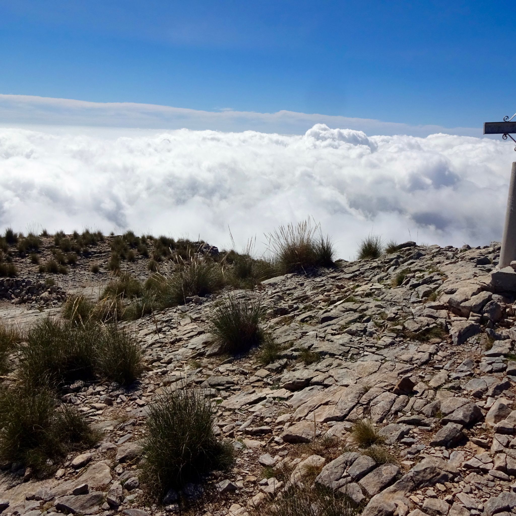
Hiking around National Park Sierra de Tejeda, Almijara y Alhama
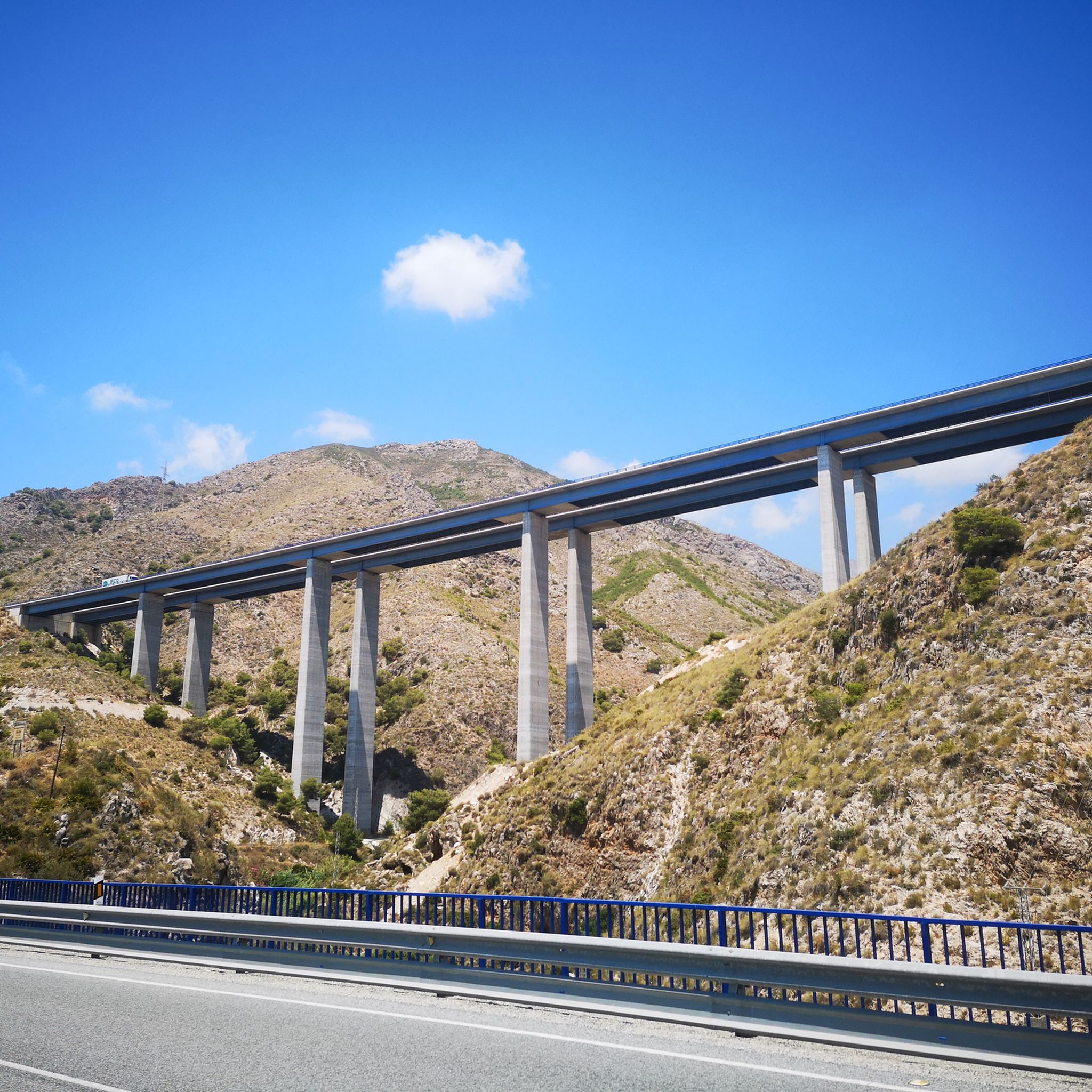
Road Cycling Routes around National Park Sierra de Tejeda, Almijara y Alhama
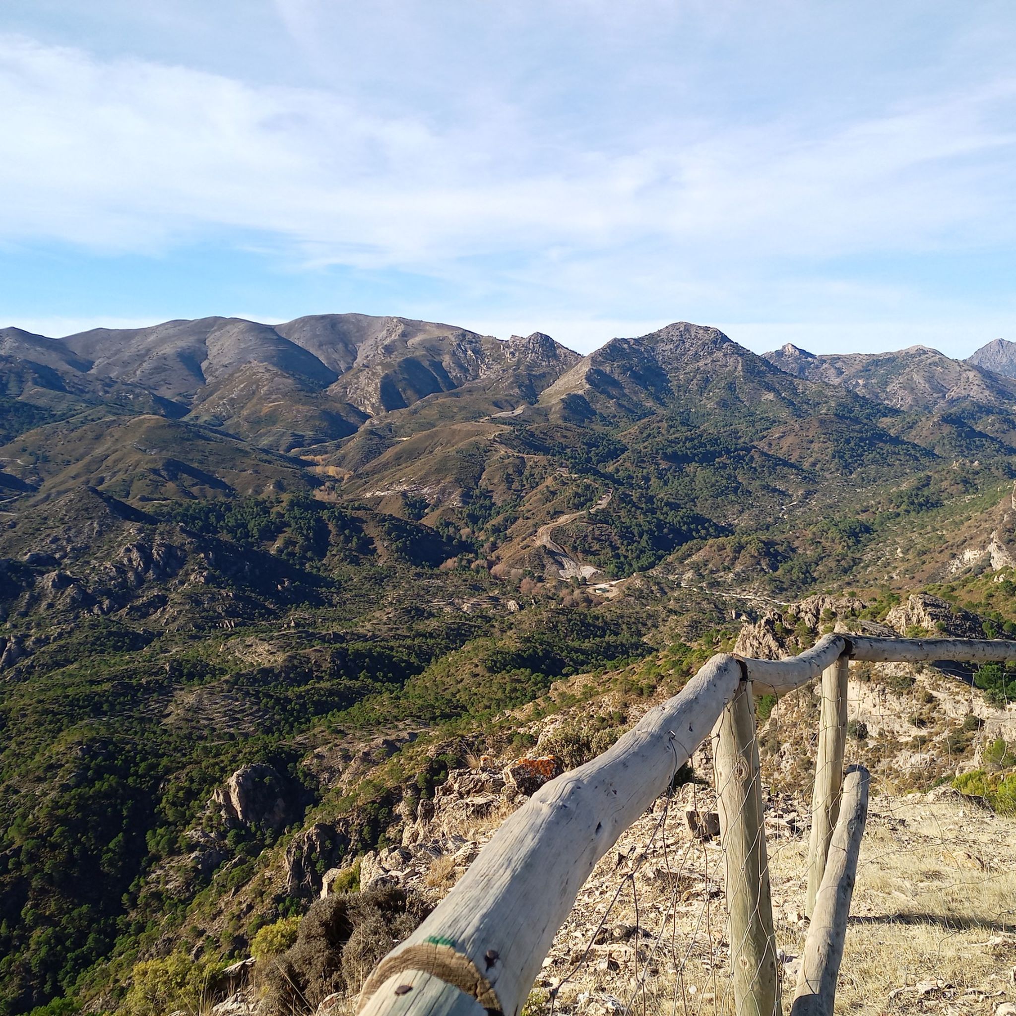
MTB Trails around National Park Sierra de Tejeda, Almijara y Alhama
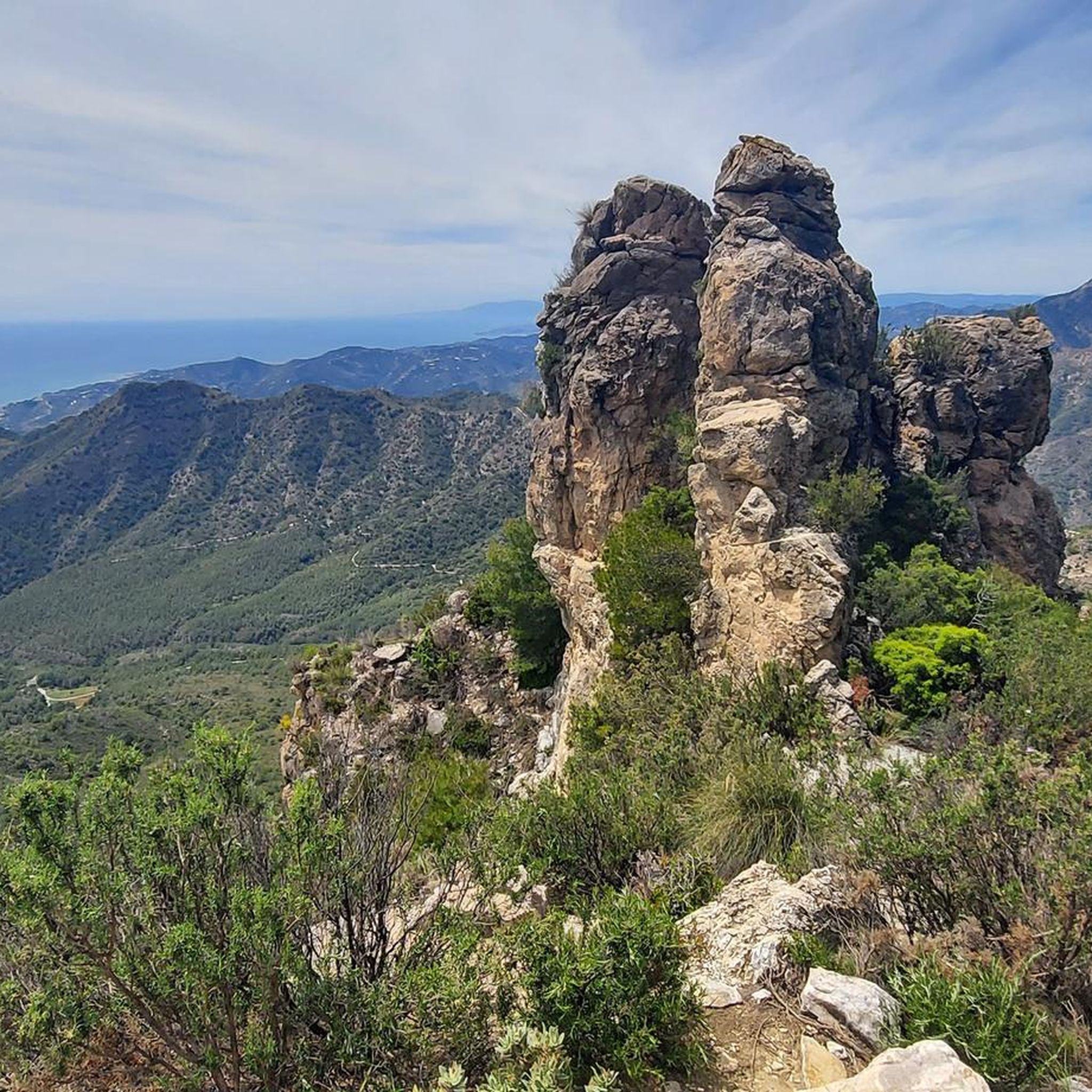
Cycling around National Park Sierra de Tejeda, Almijara y Alhama
Running Trails around National Park Sierra de Tejeda, Almijara y Alhama

Gravel biking around National Park Sierra de Tejeda, Almijara y Alhama
Other adventures around National Park Sierra de Tejeda, Almijara y Alhama

Tips from the Community

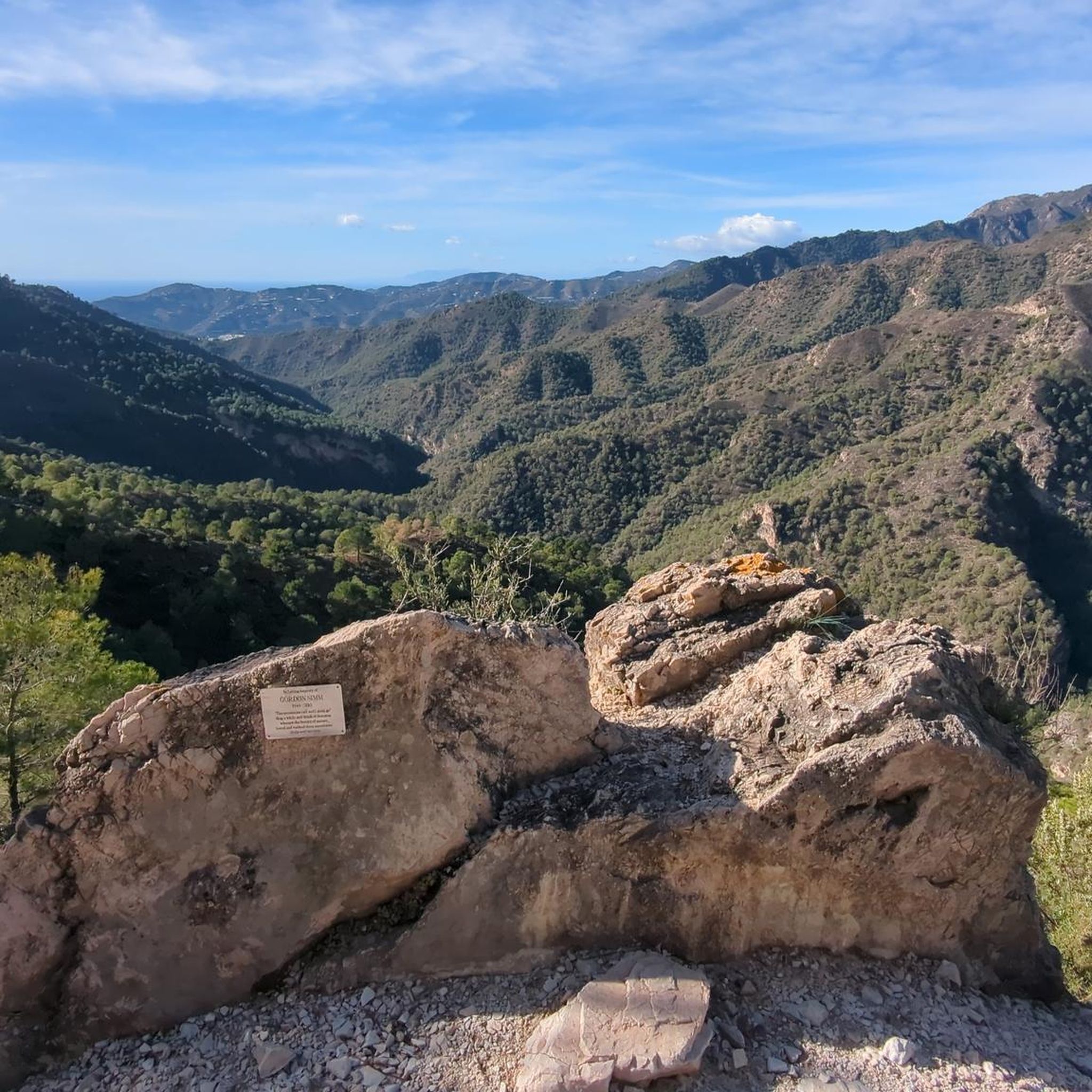
Puerto Blanquillo is a mountain pass in the Sierra Tejeda that has long served as a natural crossing point between different valleys and mountain routes. Historically, it was used by shepherds, muleteers, and travellers moving through the Sierra before the arrival of modern roads. Today, the pass is a well-known waypoint for hikers, offering access to several trails and fine views of the surrounding mountains and the Axarquía region.
0
0

Here you can enjoy a beautiful view of the mountains.
1
0

They should fix the road. It's a shame that the Andalusian government doesn't spend a single penny on the roads.
0
0

This hike is fun even for teenagers! A great canyon, with numerous small stream crossings, and stunning views. Shoes with treads are highly recommended, and keep in mind: there are two ascents and two descents: down into the canyon, up the mountain, back down into the canyon, and up to the village. Overall, a varied hike.
0
0

We really enjoyed the tour up the riverbed and back along the aqueduct. We did the tour on April 2, 2025. You can find the tour dates in my profile. Just enter SPAIN 🇪🇸 in the search bar.
2
0

mountain range in the hinterland of Frigiliana
5
0

The Sierra de Almijara is a mountain range in southern Spain that belongs to the Betic Cordillera. It is part of the mountain range that lies behind the Sun Coast, north of Vélez-Málaga and Nerja in Andalusia. The highest point is the Matalas Camas peak at 1791 m. Other peaks are the Pico del Cielo and the Cerro Cabeza del Caballo. Since 1999 it has been placed under special protection as part of the Sierras de Tejeda Almijara y Alhama National Park. Source and more info https://de.m.wikipedia.org/wiki/Sierra_de_Almijara
3
0
The Sierra de Almijara is a mountain range in southern Spain that belongs to the Betic Cordillera. It is part of the mountain range that lies behind the Sun Coast, north of Vélez-Málaga and Nerja in Andalusia. The highest point is the Matalas Camas peak at 1791 m. Other peaks are the Pico del Cielo and the Cerro Cabeza del Caballo. Since 1999 it has been placed under special protection as part of the Sierras de Tejeda Almijara y Alhama National Park. Source and more info https://de.m.wikipedia.org/wiki/Sierra_de_Almijara
3
0
Frequently Asked Questions
Which mountain passes offer the most rewarding views in the Sierra de Tejeda, Almijara y Alhama Natural Park?
For spectacular vistas, consider visiting View of the Sierra de Almijara, which provides panoramic perspectives of almost all its peaks. Another excellent option is Huerta Grande Pass, where a short ascent from the pass offers a wonderful all-round view, including Cerro Lucero and Cerro Verde. Puerto de los Umbrales also provides impressive views of the rocky walls of Tajos del Sol and Almendrón.
What kind of terrain can I expect on the mountain passes in this region?
The Sierra de Tejeda, Almijara y Alhama Natural Park features rugged and diverse terrain. You'll encounter winding paths, some initially well-marked, transitioning to less distinct trails indicated by small red dots, as seen around Enginal Pass. Some areas, like the approach to Puerto Blanquillo, involve unpaved roads, while others, such as Puerto de los Umbrales, offer tracks that become steeper paths as you ascend, with many sections being flat.
What makes Enginal Pass a popular choice for visitors?
Enginal Pass is highly appreciated for its 'very original and wildly romantic nature reserve' feel. Visitors enjoy the winding paths and the tranquil, less crowded hiking experience it offers within the park's diverse ecosystems. It's an ideal spot for those seeking a unique connection with nature.
Are there any mountain passes that are challenging to access or require specific vehicles?
Yes, accessing some passes can be challenging. For instance, reaching Puerto Blanquillo often involves traveling an unpaved road for about 12 km, and a high-clearance vehicle is recommended to avoid problems due to the terrain. Parking at Puerto Blanquillo is typically on the side of the road rather than a designated car park.
What are the best times of year to visit the mountain passes in the Sierra de Tejeda, Almijara y Alhama Natural Park?
The region offers rewarding experiences throughout the year, but spring and autumn are generally ideal. During these seasons, the weather is milder, making hiking more comfortable, and the natural landscapes are particularly vibrant. Summer can be very hot, especially at lower altitudes, while winter may bring colder temperatures and potentially snow at higher elevations.
Are there options for less experienced hikers or families looking for easier mountain pass walks?
While the park is known for intermediate and challenging passes, some sections around passes like Collado de Vuelta Grande are described as having low difficulty, making them accessible for various fitness levels. The ascent to Puerto de los Umbrales is also generally smooth, with many flat sections, allowing for a more relaxed appreciation of the scenery. Always check specific route details for suitability.
What outdoor activities can I combine with a visit to these mountain passes?
The region offers a variety of outdoor activities. You can explore waterfall hikes, with routes like the Sendero del Río Verde or the El Saltillo Suspension Bridge loop. For cyclists, there are numerous road cycling routes and gravel biking trails that traverse the scenic mountain roads and landscapes.
Are there specific hiking routes that start from or pass through these mountain passes?
Yes, many passes serve as crucial points for hiking routes. From Puerto Blanquillo, you can embark on ascents to peaks like Lucero, often as part of circular routes. Puerto de los Umbrales offers multiple possibilities, including paths towards Fuente del Esparto and the coast, or to Refugio del Cuervo. Collado de Vuelta Grande is an intersection for several routes, including the ancient Gaviarra path.
What unique natural features can I observe around the mountain passes?
The natural park is characterized by dramatic limestone formations, diverse ecosystems, and rich biodiversity. Around Puerto de los Umbrales, you can admire the rocky walls of Tajos del Sol and Almendrón. The Carretera de la Cabra Tunnel area showcases spectacular switchbacks and tunnels carved through these limestone rocks. The region's natural beauty is often described with hues of green, grey, blue, and gold.
Can I find circular hiking routes that incorporate mountain passes?
Yes, circular routes are available. For example, from Puerto Blanquillo, you can undertake a circular route for climbing Lucero, with a descent often via Puerto del Daire. These routes allow you to experience varied landscapes without retracing your steps entirely.
What are the parking facilities like near the mountain pass trailheads?
Parking facilities can vary. In some areas, like Puerto Blanquillo, there isn't a formal car park; visitors typically leave their vehicles parked on the side of the unpaved road. It's advisable to research specific trailheads in advance to understand the parking situation and any recommendations for vehicle type.
Most popular routes around National Park Sierra de Tejeda, Almijara y Alhama
Most popular attractions around National Park Sierra de Tejeda, Almijara y Alhama

Get inspired with the komoot mobile app


Explore more
See even more epic mountain passes by checking out these guides around National Park Sierra de Tejeda, Almijara y Alhama:
