Top 20 Natural Monuments around Parc Ela
Best natural monuments around Parc Ela showcase the largest nature park in Switzerland, characterized by diverse geological formations and unique hydrological features. This region offers a deep dive into the natural history and stunning beauty of the Alps, featuring high peaks, deep gorges, and significant water systems. The landscape around the Albula, Julier, and Septimer passes presents original nature and varied terrain. Visitors can explore a wide range of natural attractions within this protected area.
Best natural monuments around Parc…
Last updated: October 13, 2026
Zügenschlucht
Highlight (Segment) • Gorge
Translated by Google •
Tip by

Lai da Palpuogna
Highlight • Lake
Showing Translation
Tip by

Sign up now to discover places like this
Get recommendations on the best single tracks, peaks, & plenty of other exciting outdoor places.
Julier Pass
Highlight • Mountain Pass
Translated by Google •
Tip by

Preda, in the heart of Parc Ela
Highlight • Settlement
The Parc Ela lies in …
Translated by Google •
Tip by

Lais da Flix (Flix Lakes)
Highlight • Lake
Showing Translation
Tip by

Sign up for free to discover even more natural monuments around Parc Ela.
Already have an account?
Start today with a free account
Your next adventure awaits.
Popular around Parc Ela
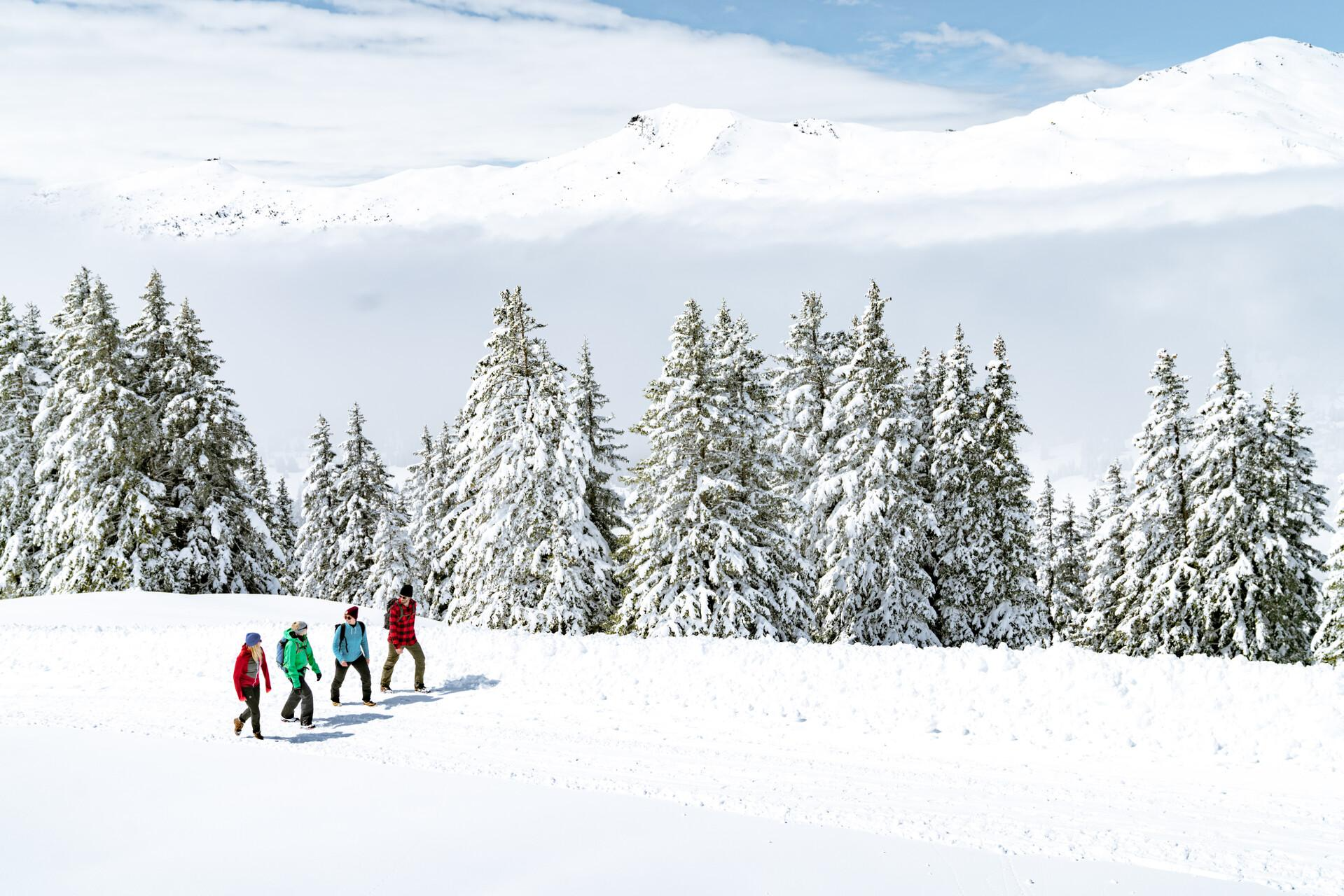
Immerse yourself in Lenzerheide's winter wonderland

Alpine Passes Trail – hiking 700km across Switzerland
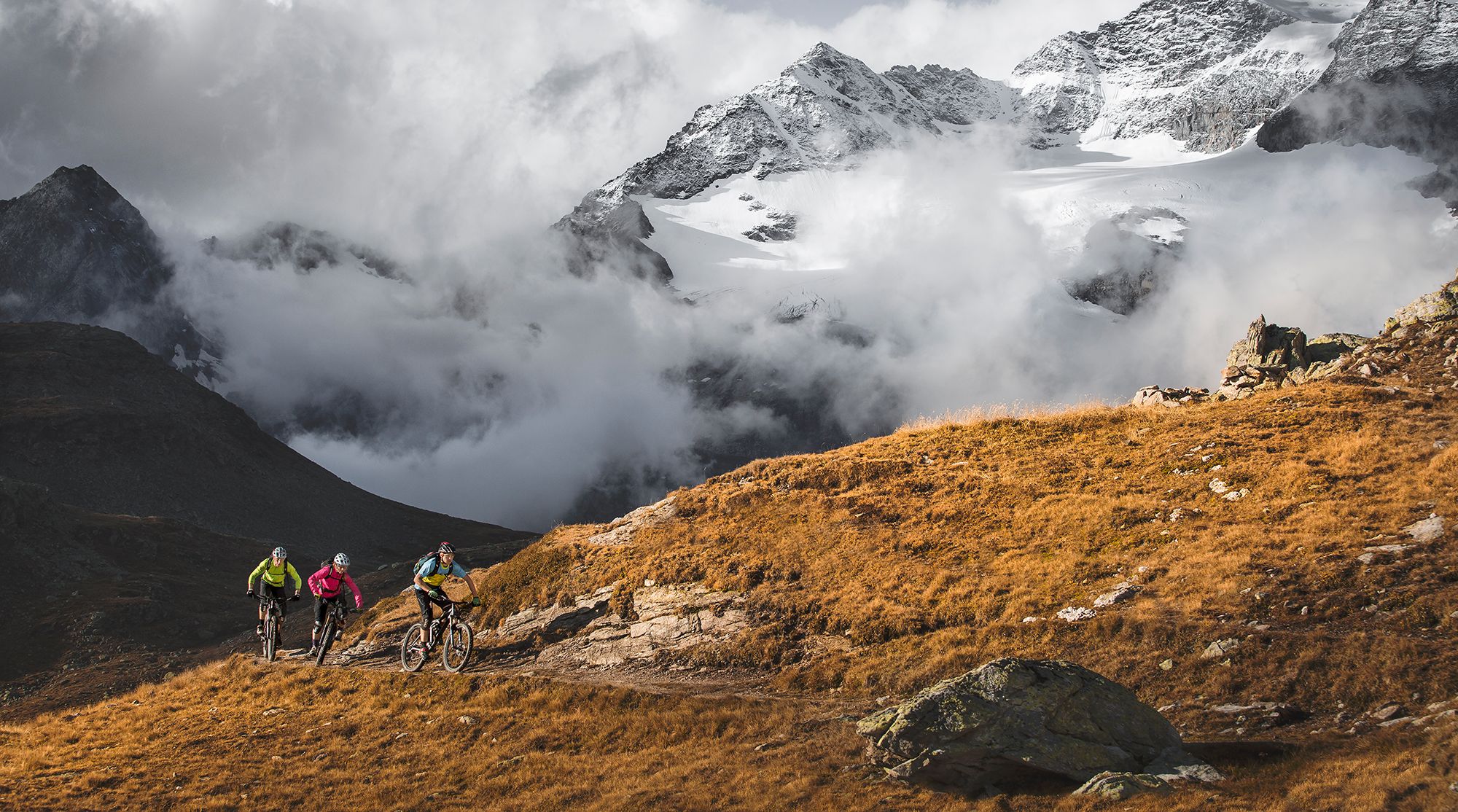
Great heights from Chur to Tirano with your mountain bike & post bus
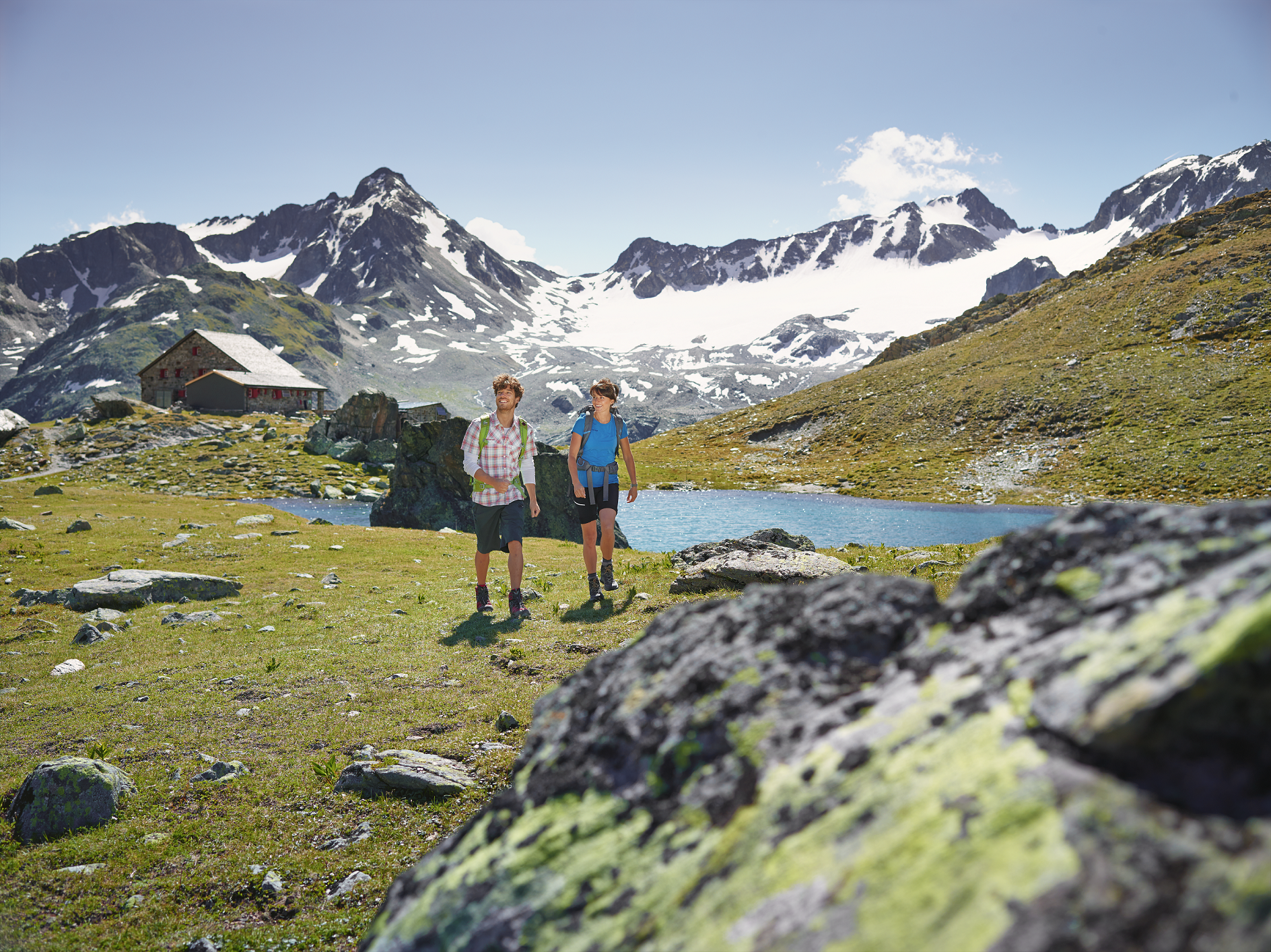
Kesch-Trek – A four-day hut adventure in Davos Klosters
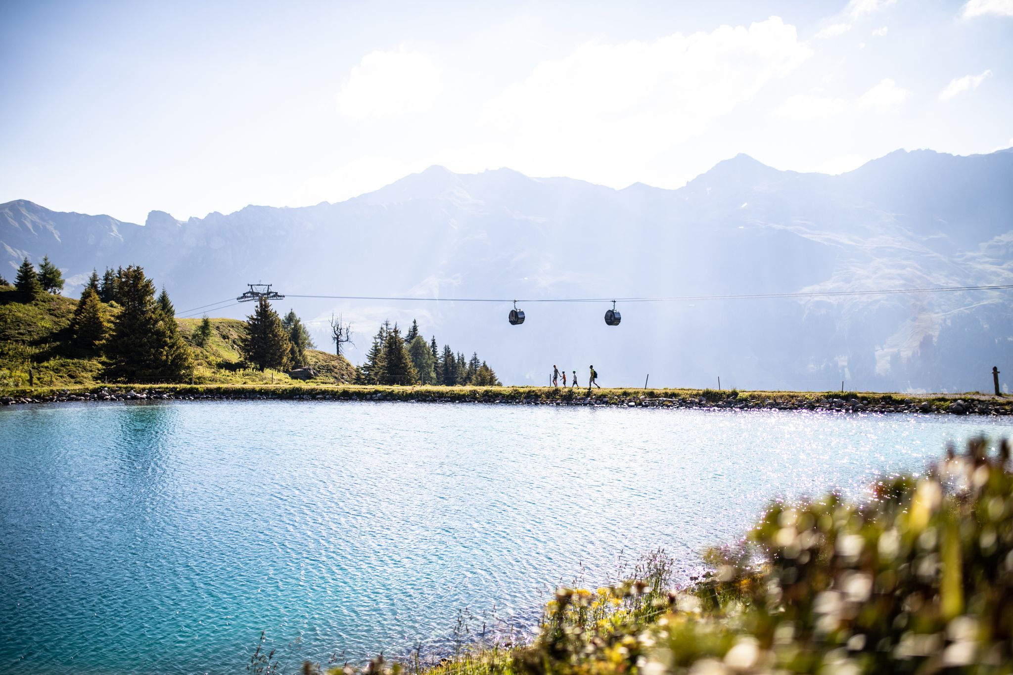
From the peaks to the cool waters – Coolcation Lenzerheide
Diverse natural beauty – autumn hiking in Lenzerheide
Quiet villages, proud passes, impressive history – the Via Sett
Snowshoe Safari – snowshoe trails through Graubünden
Historic railways and joyous hiking in the Landwasser World
Satisfy your wanderlust in the Lenzerheide region
Other adventures around Parc Ela


Tips from the Community

Wonderful lake landscape with various benches and barbecue areas
1
0

Julier Pass, History (Pass height 2284 m above sea level) The column remnants exactly at the summit of the Julier Pass and the finds of Roman coins nearby point to a very early use of this Alpine crossing. The Septimer Pass, a few kilometers to the west, which was however steeper and more avalanche-prone, can certainly be considered a competitor. What is certain is that both were used intensively in Roman times. The Julier even with two-wheeled carts. In the age of packhorse trains, the Julier increasingly lost importance because the topography at the Septimer Pass was hardly a factor and, moreover, the detour via the Engadin was not necessary. With the construction of a cart track over the Septimer (1387), the Julier was definitively left behind. The Julier remained important for access to the Upper Engadin and the Bernina Pass. The actual road construction over the Julier took place between 1820 and 1826. In this phase of history, the Julier retained "the upper hand" over the Septimer. On the one hand, topographical reasons were decisive, and on the other hand, the canton could not afford to ignore the Engadin. This was the first road construction project in which the canton acted as the client. In the second half of the 19th century, various route adjustments followed, which became necessary due to the increasing feeder traffic for the Upper Engadin health resorts. The opening of the Albula Line of the Rhaetian Railway in 1903 caused car traffic over the Julier to collapse again. When the Federal Council put pressure on the Graubünden government in 1923 for a car-suitable transit route, the canton opted for the Julier route. Between 1935 and 1940, the pass road was renovated and was the first Alpine crossing to receive an asphalt surface. Today, the Julier is the most important, year-round open, northern access to the Engadin. Text / Source: Interessengemeinschaft Alpenpässe IAP, Postfach 11, Realp https://www.alpen-paesse.ch/de/alpenpaesse/julierpass/
13
0
Already in the Roman Empire around 2,000 years ago Already in the Roman Empire around 2,000 years ago, the Julier Pass was of great importance. At the pass summit, two columns of a Roman sanctuary still stand today. Today, the pass road over the Julier is the most important road connection to the Engadin and is passable all year round. In the vicinity of the Julier, you will find numerous hiking and biking routes on which the landscape can be ideally explored. From the Julierhospitz (pass summit 2284 m above sea level), the exploration tour or hike to the clear mountain lake Leg Grevasalvas begins. Text / Source: Graubünden Ferien, Alexanderstrasse 24, Chur https://www.graubuenden.ch/de/ausflugsziele/julierpass
13
0

Information from DavosKlosters: Zügenschlucht closed: For safety reasons, the Zügenschlucht will remain closed until further notice. https://www.davos.ch/aktivitaeten/outdoor-abenteuer/wandern/status-wanderwege
0
0

Attention, the Zügenschlucht has been closed until further notice since August 2023 following a storm due to rockfall, windthrow of wood and landslides! This will remain the case until at least 2025 (info at davos.ch/aktivitaeten/outdoor-abenteuer).
2
1

Preda station is located on the Albula railway at 1789 m above sea level at the northern end of the Albula tunnel and offers direct journeys towards Filisur - Chur or Samedan - St. Moritz. The IR trains cross there, which creates interesting photo opportunities. The hike on the Albula railway adventure trail to Bergün takes you past the famous Albula carousel. https://www.rhb.ch/de/erlebniswelt-bahn/unesco-welterbe-rhb/bahnerlebnisweg-albula
0
0

In the picturesque landscape between Wiesen and Monstein in Davos, the Zügenschlucht stretches for over three kilometers. The constant flow of the Landwasser has created this impressive natural gorge, which is accompanied by the impressive rock formations of the Steig and the Silberberg. This section of the Epic Trail is easy to navigate and offers you the opportunity to enjoy the breathtaking views of the gorge in peace.
2
1

Fantastic, quiet mountain lake 😍
2
0
Frequently Asked Questions
What are some of the most popular natural monuments to visit in Parc Ela?
Among the most popular natural monuments in Parc Ela are the dramatic Zügenschlucht, a gorge carved by the Landwasser river, and the picturesque Lai da Palpuogna, known for its distinctive blue-green waters. Visitors also frequently enjoy the panoramic views from Julier Pass.
Are there family-friendly natural monuments in Parc Ela?
Yes, Parc Ela offers several family-friendly natural monuments. Lai da Palpuogna is an idyllic mountain lake perfect for relaxing and barbecues. The Lais da Flix (Flix Lakes) on Alp Flix are also great for families, offering beautiful moorland landscapes and picnic areas. The settlement of Preda, located in the heart of Parc Ela, serves as an excellent starting point for easy walks suitable for all ages.
What unique geological features can I explore in Parc Ela?
Parc Ela is a geological marvel. You can visit Piz Lunghin, famous for its unique triple watershed where water flows to the North, Adriatic, and Black Seas. The Zügenschlucht showcases impressive rock formations and the erosive power of the Landwasser river. For a deeper dive into plate tectonics, Val Natons allows you to explore the boundary between ancient continental plates, featuring a fascinating mix of green and red rocks.
What outdoor activities can I do near the natural monuments in Parc Ela?
The natural monuments in Parc Ela are surrounded by opportunities for outdoor activities. You can find numerous mountain hikes, including challenging routes around Piz Kesch, by exploring the Mountain Hikes around Parc Ela guide. For easier walks, check out the Easy hikes around Parc Ela guide. Road cycling enthusiasts can discover routes around the passes, as detailed in the Road Cycling Routes around Parc Ela guide.
Are there challenging hiking opportunities around Parc Ela's natural monuments?
Absolutely. For experienced adventurers, Piz Kesch, the highest peak in the Albula Alps, offers challenging hiking routes with panoramic views and nearby alpine huts. The Parc Ela Trek, a multi-day hike, also passes through the unique alpine environment of the Err Massif, providing spectacular mountain scenery and insights into the region's geological history.
What is the best time of year to visit the natural monuments in Parc Ela?
The best time to visit Parc Ela's natural monuments largely depends on the activities you plan. Summer and early autumn (June to October) are ideal for hiking and exploring the high-altitude sites like Piz Kesch and Piz Lunghin, when trails are clear of snow. The Julier Pass remains open throughout the winter, offering access and views even in colder months, though some trails may be inaccessible.
Can I reach the natural monuments in Parc Ela by public transport?
Many natural monuments in Parc Ela are accessible via public transport. For instance, the Rhaetian Railway offers an impressive journey through the Zügenschlucht, and the settlement of Preda is a train stop in the heart of the park. During summer months, an Alpine bus travels to the vicinity of the Lais da Flix, making them easily reachable.
What makes the Schin Gorge unique among Parc Ela's natural monuments?
The Schin Gorge (Schinschlucht) is unique as it marks the lowest point in Parc Ela, at 745 meters. Here, the Albula River has carved an impressive gorge into soft Bündnerschiefer (schist) layers, creating rugged and steep slopes. It offers a dramatic contrast to the park's high peaks and is an excellent place to observe the continuous geological processes of erosion.
Are there any hidden natural gems or less-known spots in Parc Ela?
While many sites are well-known, the vastness of Parc Ela holds many natural wonders. Val Natons, for example, offers a unique 'Exploratour' where you can literally walk across the boundary of ancient continental plates, a profound geological experience that is less commonly highlighted than the more prominent peaks or lakes.
What do visitors enjoy most about the natural monuments in Parc Ela?
Visitors consistently praise the breathtaking natural beauty and tranquility of Parc Ela. They appreciate the diverse landscapes, from the towering peaks and glaciers of Piz Kesch to the serene blue-green waters of Lai da Palpuogna. The unique geological formations, such as those in the Zügenschlucht and Val Natons, also provide a profound connection to the natural history of the Alps.
Are dogs allowed at the natural monuments in Parc Ela?
Parc Ela is generally dog-friendly, and many trails and natural monuments welcome dogs, provided they are kept on a leash and owners clean up after them. Specific regulations may apply in certain protected areas or on public transport, so it's always advisable to check local signage or park guidelines for the specific monument you plan to visit.
Most popular routes around Parc Ela
Most popular attractions around Parc Ela

Get inspired with the komoot mobile app


Explore more
Extend your search for the best caves by checking out these guides of the top ones around Parc Ela:
