Top 5 Mountain Passes around District de Delémont
Best mountain passes around District de Delémont are situated within the Jura Mountains of Switzerland. This region features diverse terrain, including natural rock formations and river sources. The area offers various mountain passes known for their historical significance and recreational opportunities. These passes connect different valleys and cantons, providing routes through the landscape.
Best mountain passes around District de Delémont
- The most popular mountain passes is Schelten Pass from Mervelier, a mountain pass that offers a challenging ascent on…
Last updated: June 26, 2026
Welschgätterli Pass
Highlight • Mountain Pass
Translated by Google •
Tip by

Schelten Pass from Mervelier
Highlight (Segment) • Mountain Pass
Translated by Google •
Tip by

Sign up now to discover places like this
Get recommendations on the best single tracks, peaks, & plenty of other exciting outdoor places.
Sign up for free
Ascent to La Caquerelle
Highlight (Segment) • Mountain Pass
Translated by Google •
Tip by

Pleigne Pass
Highlight (Segment) • Mountain Pass
Translated by Google •
Tip by
View from the Pass Between Lucelle and Delémont
Highlight • Viewpoint
Translated by Google •
Tip by

Narrow "gateway" as the start to the Schelten Pass
Highlight • Mountain Pass
Translated by Google •
Tip by

Beinwil–Montsevelier with a bit of gravel
Highlight (Segment) • Mountain Pass
Translated by Google •
Tip by
Start today with a free account
Your next adventure awaits.
Login or Signup
Popular around District de Delémont
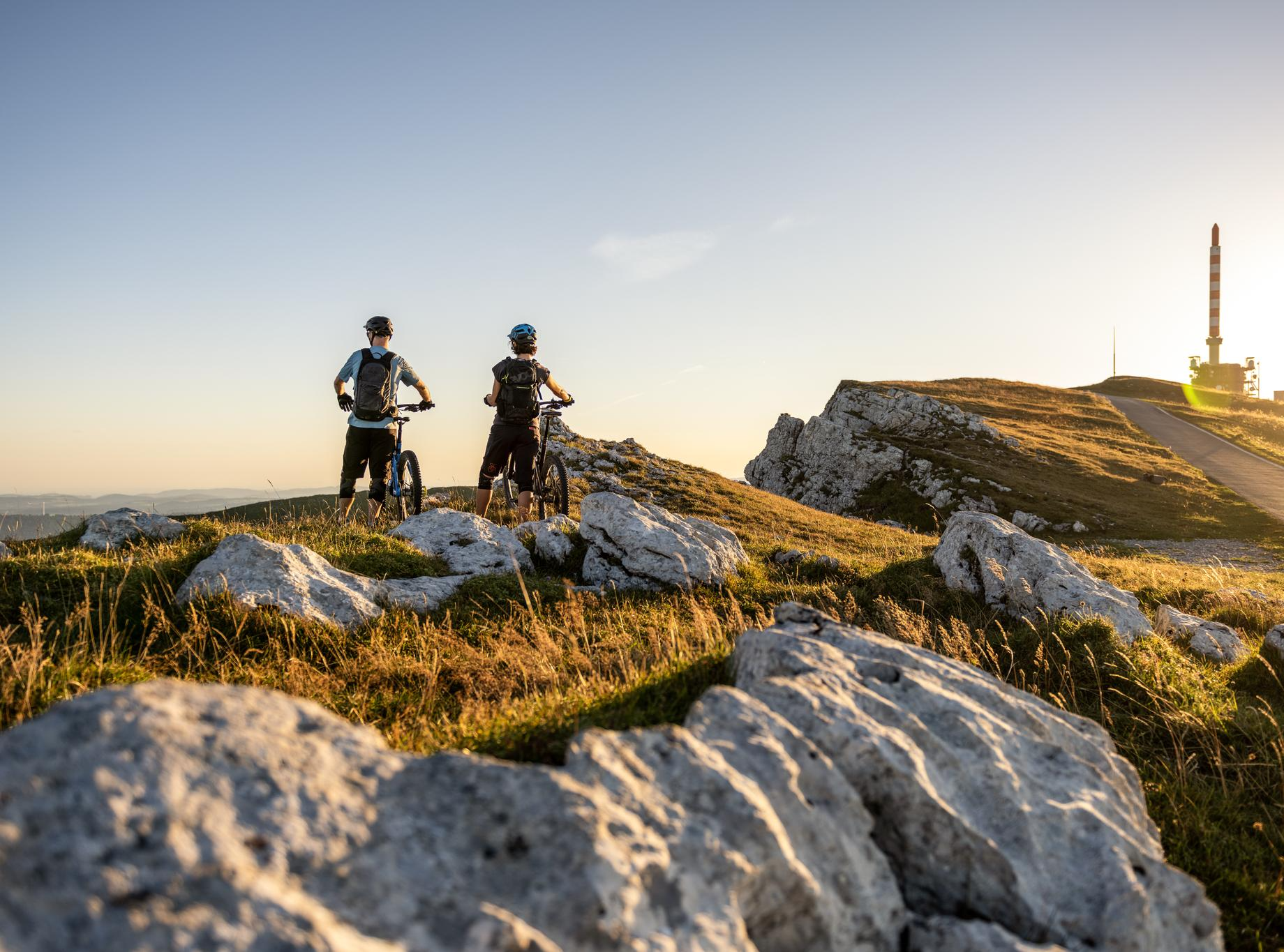
MTB rides in the Jura & Three-Lakes region
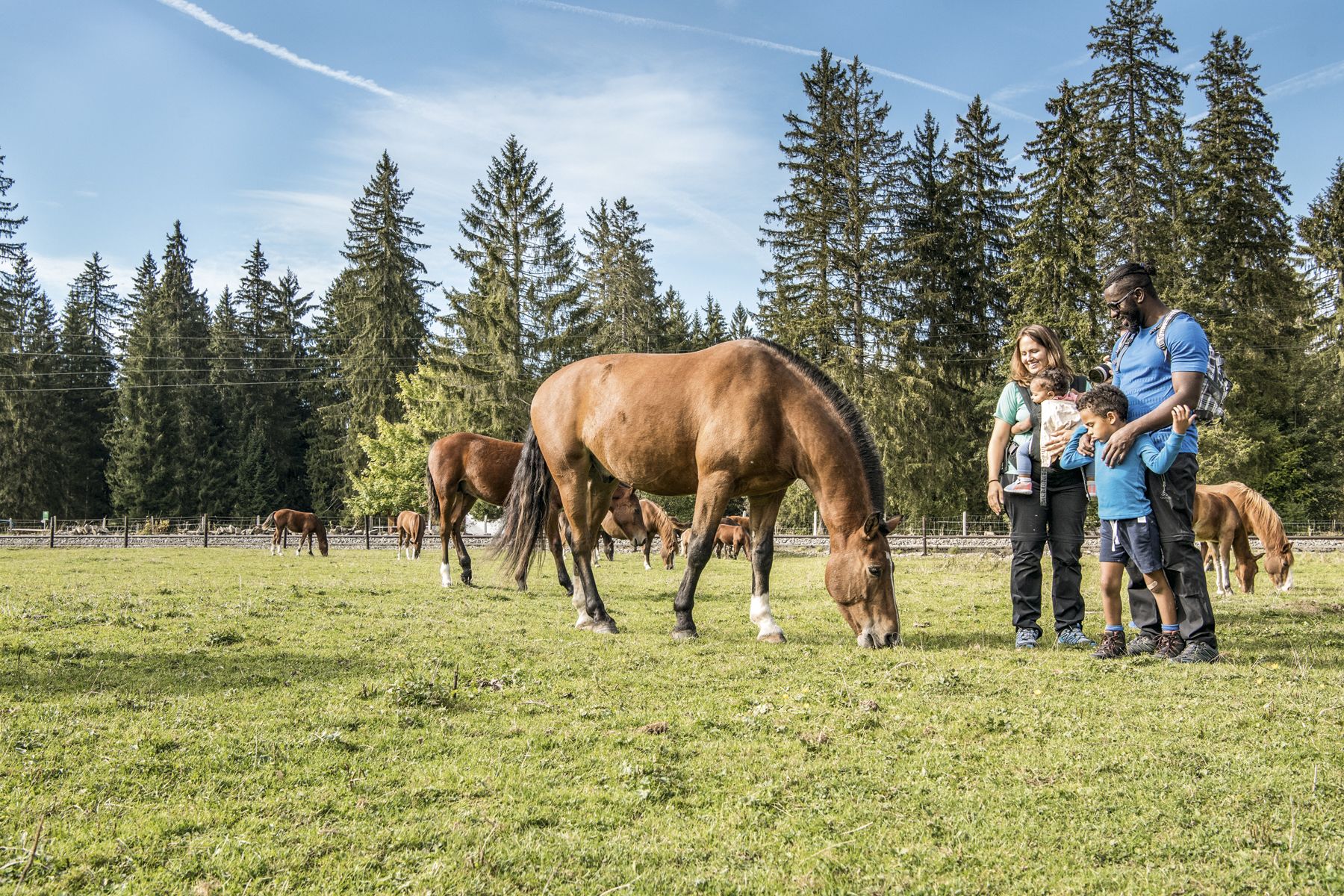
Jura — Visit the farms of organic pioneers
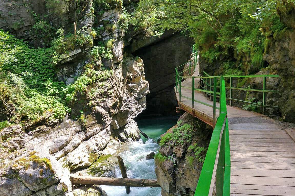
Wild gorges in southern Germany and northern Switzerland
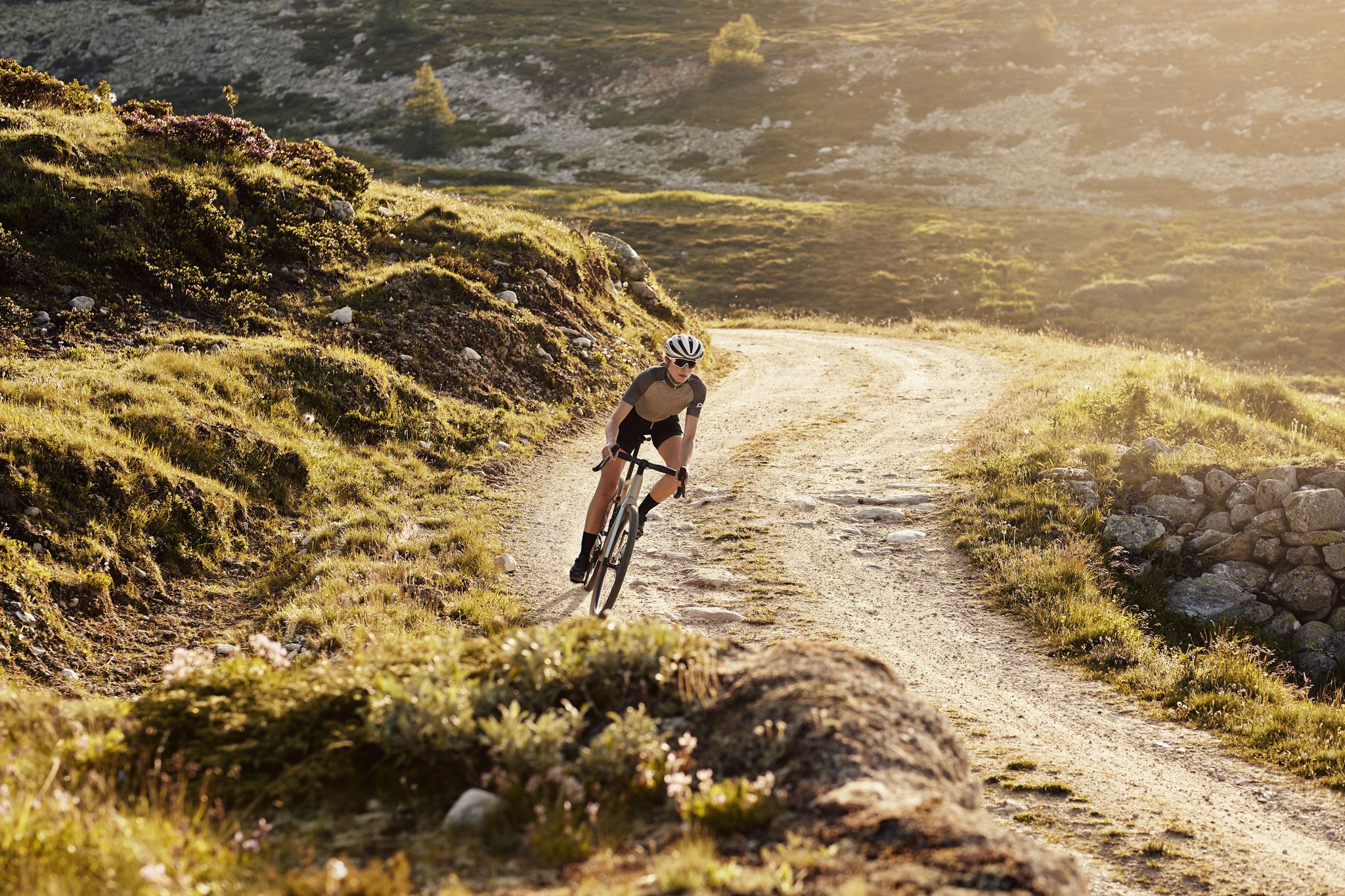
Schottergenuss und Gaumenschmaus – Grand Gourmet Rides durch die Schweiz
Hiking around District de Delémont
Running Trails around District de Delémont
Road Cycling Routes around District de Delémont
MTB Trails around District de Delémont
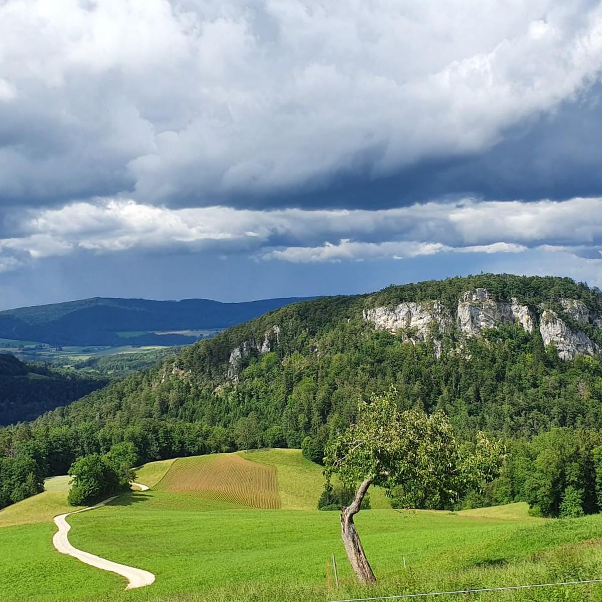
Cycling around District de Delémont
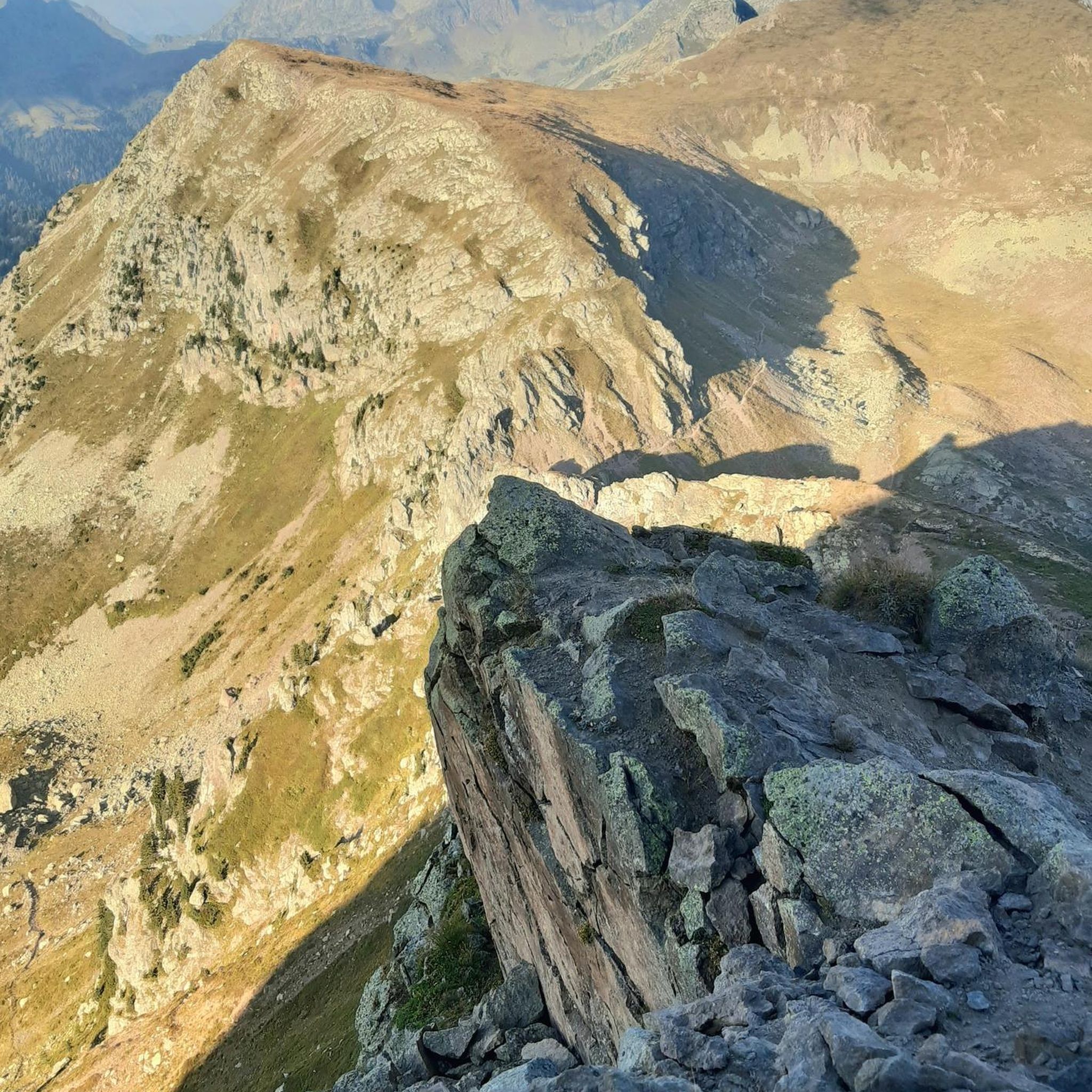
Gravel biking around District de Delémont
Other adventures around District de Delémont


Tips from the Community

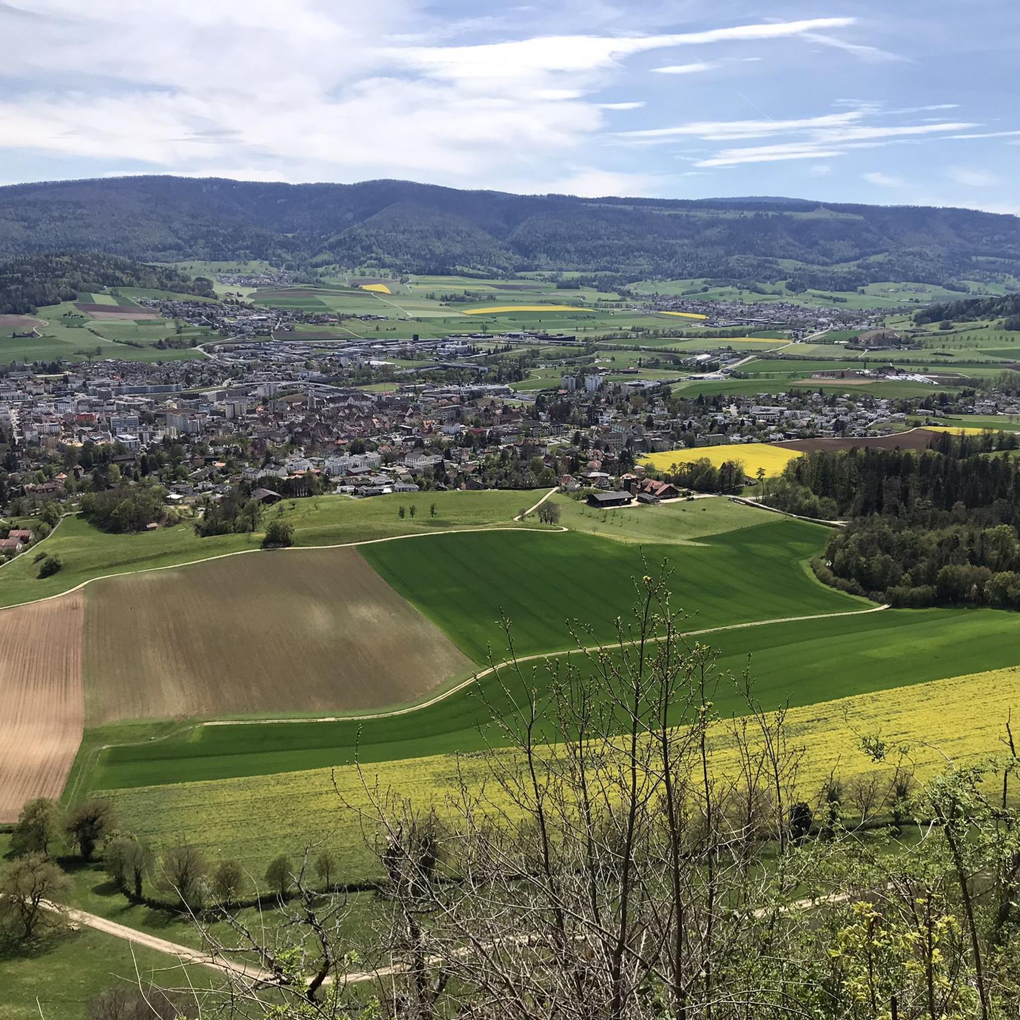
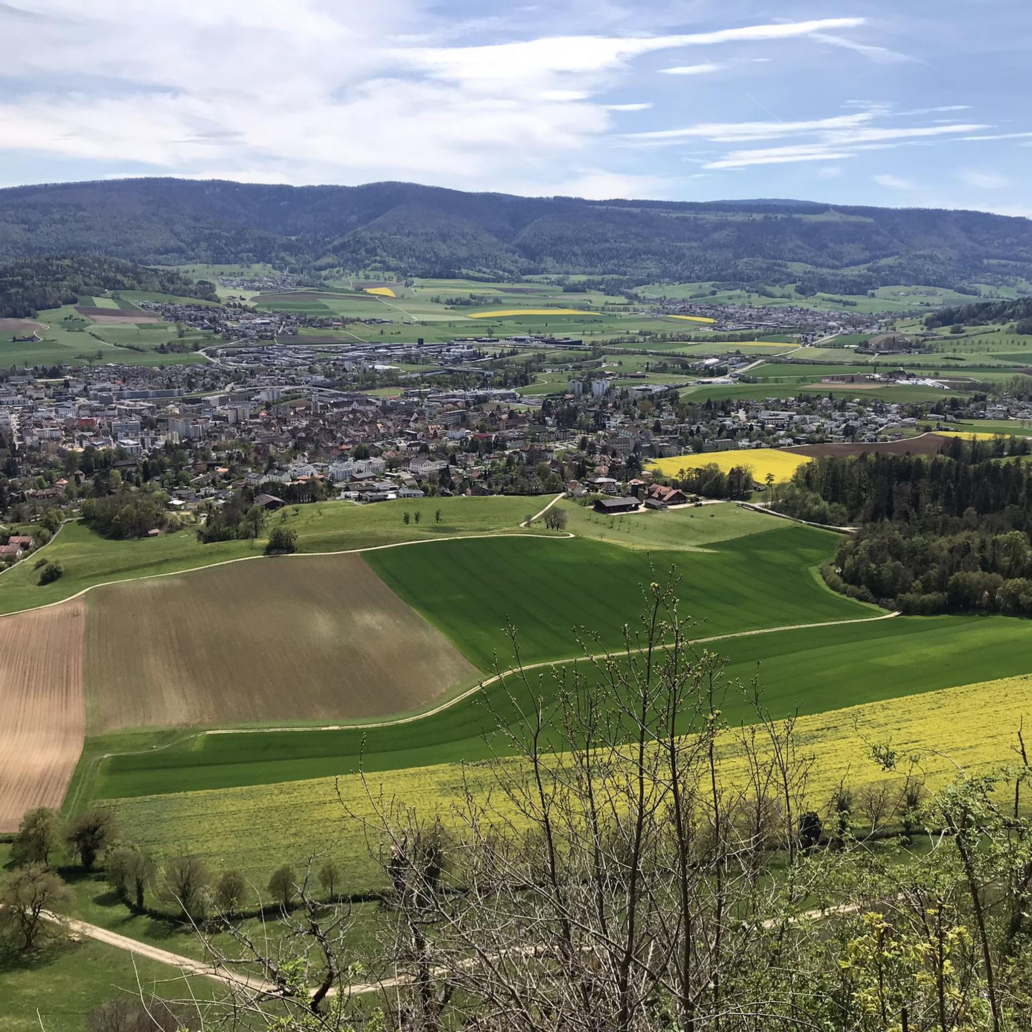
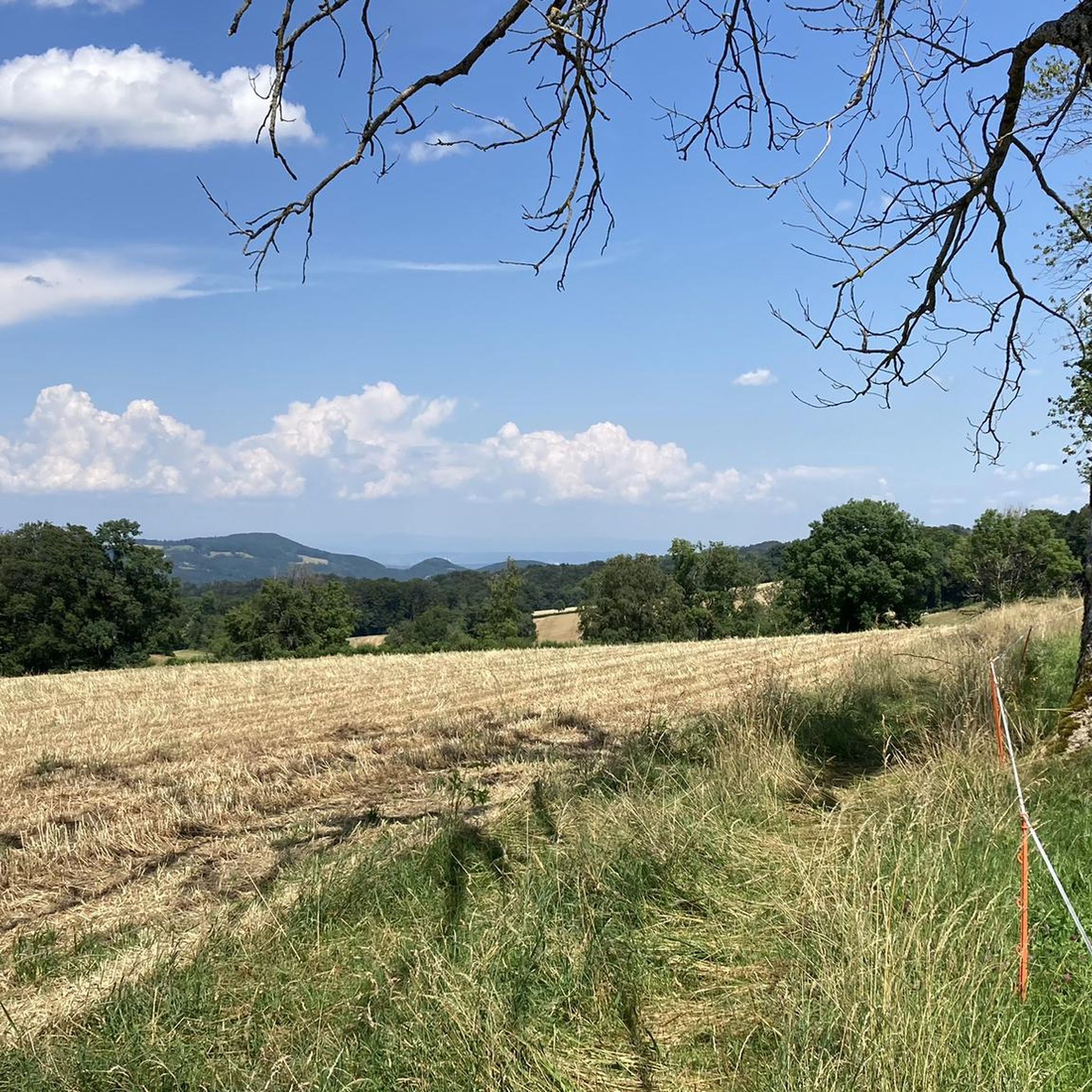
The pass appears unspectacular, but those who take the time for a short break can admire the southern Jura mountain ranges and the gentle hills to the north through the hedge.
0
0
The very quiet pass from Beinwil to Montsevelier is one of the few options for crossing the hills of the Laufental valley towards Delémont if you want to avoid the busy, flat road along the Birs river. The alternative route is via the Passwang and Scheltenpass. The only drawbacks are a short, rough section of gravel at the very top and a few inexperienced farm dogs (be careful at Ober Bös and Le Greierlet), but otherwise it's a very pleasant little Jura mountain pass road.
1
0

The Welschgätterli is a mountain pass between Montsevelier in the canton of Jura and Erschwil in the canton of Solothurn. Its summit is at an altitude of 810 meters above sea level, directly on the border between the two cantons. A yellow-marked hiking trail leads over the pass, connecting the two villages. You can also hike past the Welschgätterli on the Chemin du Val Terbi, which takes you on a circular route over the heights around Montsevelier. From the summit of the pass, the hike to Montsevelier takes about half an hour and to Erschwil around 40 minutes.
5
0

Welschgätterli, a "to-do" in the region! 😍
1
0

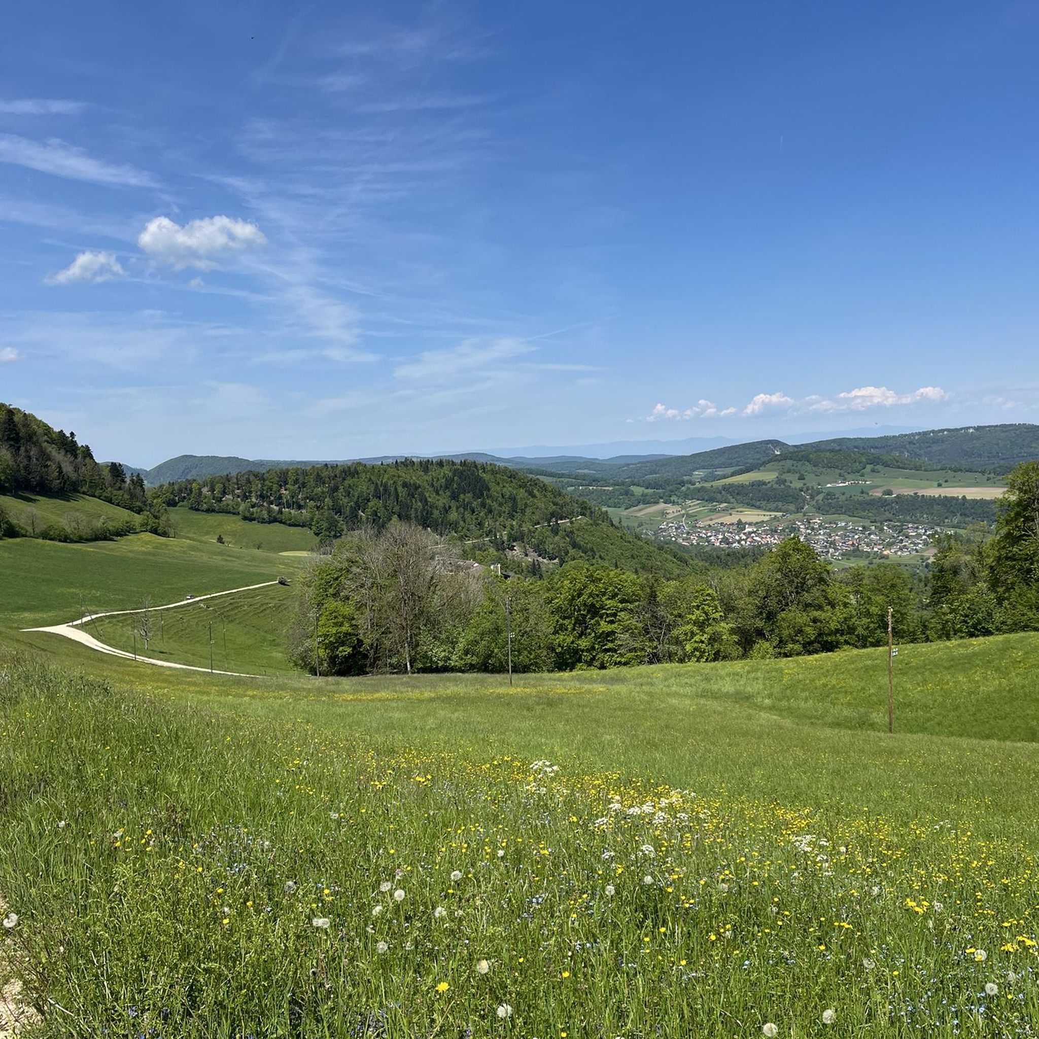
From Boécourt you have the option of cycling up to La Caquerelle (852m). Over 3.5km you have to overcome 250m of elevation with a medium gradient of 4-5%, with small peaks of 8-10% after leaving Boécourt. You roll past the Carrière "La Malcôte" quarry, where you can see the impressive layers of limestone. Further on, after the village of La Malcôte, you have a beautiful view of the wide countryside.
0
0

Wonderful foresight on the top of the pass between Lucelle and Delemont
0
0

The weather was very nice and very warm on both sides...😉
0
0
Immediately after Mervelier, the ascent to the Scheltenpass begins with the narrow passage between rock faces.
0
0
Frequently Asked Questions
Which mountain passes in District de Delémont are best for hiking?
The Welschgätterli Pass is an excellent choice for hikers of varying fitness levels. It features a yellow-marked hiking trail connecting Montsevelier and Erschwil, and is also part of the Chemin du Val Terbi circular route. Another option for those interested in history and hiking is the Col de Pierre Pertuis, where you can explore an ancient Roman road.
Are there mountain passes suitable for cycling in the District de Delémont?
Yes, several passes are popular with cyclists. The Schelten Pass from Mervelier is noted for its challenging ascent on a well-paved, narrow road with minimal motor vehicle traffic, making it ideal for cycling. The Col des Rangiers is also well-known among cyclists and is featured as part of the Jura Bike No. 3 trail.
What historical significance do the mountain passes in District de Delémont hold?
The Col de Pierre Pertuis is particularly rich in history. Its name, meaning 'broken rock,' refers to a natural cutting that was part of a Roman road established in the 3rd century CE. An ancient inscription at the site testifies to its Roman engineering. The Col des Rangiers also has historical significance as the location of the prestigious Les Rangiers Hill Climb automobile race, which began in 1926.
What natural features can I expect to see around the mountain passes?
The region offers diverse natural beauty. Near the Col de Pierre Pertuis, you can find the source of the Birse River. The Ascent to La Caquerelle provides views of the wide countryside and allows you to see impressive layers of limestone at the Carrière "La Malcôte" quarry. The View from the Pass Between Lucelle and Delémont offers foresight on the southern Jura mountain ranges and gentle hills.
When is the best time to visit the mountain passes in District de Delémont?
The warmer months are generally the best time to visit, especially for hiking and cycling, when paths are clear and views are at their best. The Welschgätterli Pass is particularly appealing during this period.
Are there any easy mountain passes or trails for beginners in the area?
The Welschgätterli Pass offers accessible hiking trails suitable for walkers of varying fitness levels, including those looking for half-day excursions. For more general easy hiking options in the region, you can explore routes like the Gorges du Pichoux Trail or the Lake Lucelle – Lucelle Lake loop.
What do visitors enjoy most about the mountain passes in District de Delémont?
Visitors frequently praise the scenic beauty and the variety of activities available. For instance, the Schelten Pass from Mervelier is loved for its challenging yet rewarding cycling experience with minimal traffic. The Welschgätterli Pass is appreciated for its accessible hiking and the beautiful circular routes it connects to.
Can I find routes for different outdoor activities near these mountain passes?
Absolutely. Besides specific mountain pass routes, the District de Delémont offers a range of outdoor activities. You can find various hiking trails, from easy to difficult, such as those listed in the Hiking around District de Delémont guide. There are also specific guides for easy hikes and waterfall hikes, providing diverse options for exploring the region.
Are there any viewpoints or scenic spots on the passes?
Yes, many passes offer excellent viewpoints. The Ascent to La Caquerelle provides beautiful views of the surrounding countryside. Additionally, the View from the Pass Between Lucelle and Delémont is noted for its wonderful foresight over the southern Jura mountain ranges and gentle northern hills.
How accessible are the mountain passes by public transport?
While specific public transport details for each pass vary, the Welschgätterli Pass connects the villages of Montsevelier and Erschwil, which may have public transport links. For detailed information on public transport access to specific trailheads, it's advisable to check local transport schedules.
Are there any unique geological features to observe?
Yes, the region is known for its diverse terrain. The Col de Pierre Pertuis is named after a 'broken rock' formation, a natural cutting that has been historically significant. Near the Ascent to La Caquerelle, you can observe impressive layers of limestone at the Carrière "La Malcôte" quarry. The Narrow "gateway" as the start to the Schelten Pass also features a distinctive passage between rock faces.
What kind of amenities can I find near the mountain passes?
Some passes, like the Ascent to La Caquerelle, have an inn directly on the pass. For other passes, amenities like cafes or places to refill water bottles might be found in nearby villages such as Mervelier, Montsevelier, or Erschwil. It's always a good idea to carry sufficient supplies, especially on longer routes.
Most popular routes around District de Delémont
Most popular attractions around District de Delémont

Get inspired with the komoot mobile app


Didn’t find what you were looking for?
Find even more amazing mountain passes around District de Delémont organized by region:
Explore more
See even more epic mountain passes by checking out these guides around District de Delémont:
