Top 10 Mountain Passes around Iragna
Best mountain passes around Iragna are located in the Ticino region of Switzerland, an area characterized by its natural beauty and mountainous terrain. While the Iragna Gorge is a notable feature for canyoning, the surrounding peaks and valleys offer challenging routes for exploration. This region provides a diverse mountainous experience with varied geological formations and panoramic views.
Best mountain passes around Iragna
- The most popular mountain pass is Erbea Pass, a mountain pass that is a narrow opening in…
Last updated: August 20, 2026
Erbea Pass
Highlight • Mountain Pass
Translated by Google •
Tip by

Bocchetta dello Scaiee
Highlight • Mountain Pass
Translated by Google •
Tip by

Sign up now to discover places like this
Get recommendations on the best single tracks, peaks, & plenty of other exciting outdoor places.
Sign up for free
Bocchetta di Rognoi
Highlight • Mountain Pass
Translated by Google •
Tip by
Passo di Bri
Highlight • Mountain Pass
Translated by Google •
Tip by
Forcarella di Lodrino
Highlight • Mountain Pass
Translated by Google •
Tip by
Sign up for free to discover even more mountain passes around Iragna.
Sign up for free
Already have an account?
Start today with a free account
Your next adventure awaits.
Login or Signup
Tips from the Community

Given it's a north facing be prepared to find patches of loose snow even at the beginning of the summer season. Always double check snow conditions on SLF snow map website (https://whiterisk.ch/en/conditions/snow-maps/snow_depth)
0
0

If the snow line drops, there will be snow on the Moleno Valley side, and it won't melt away quickly (the sun doesn't even shine in October). This makes this route on the steep slope truly challenging without spikes or poles. The descents from both sides, in particular, should be approached with extreme caution.
0
0

The Bocchetta dello Scaiee is a mountain pass on the left side of the Verzasca Valley in the canton of Ticino. It is located between the Cima di Gagnone (2518 m above sea level, east) and the Scaiee peak (2457 m above sea level, west) at an altitude of 2434 meters above sea level. The pass can be crossed on a white-red-white marked mountain hiking trail. Paths lead from the village of Gerra in the Verzasca Valley (via Alpe del Mött), from the Val d'Agro (via Bassa di Motto) and from the Capanna Efra mountain hut and the Val Gagnone (both via Passo di Gagnone) up to the pass. In addition, an alpine hiking trail (white-blue-white) leads from the Bocchetta dello Scaiee to the Cima di Gagnoe and further over the ridge via Cima di Rierna and Cima Lunga to the Capanna Fümegna.
1
0
The Passo di Bri is a mountain pass in the Ticino Alps, which lies between the Val d'Ambra and the Val d'Agro in the canton of Ticino. It is located on the ridge between the Cima di Bri and the Cima di Rierna at an altitude of 2431 meters above sea level. There is no hiking trail between the two valleys over the pass. However, the ridge hike from the Capanna Fümegna to the Bocchetta dello Scaiee and further to the Capanna Efra leads past the Passo di Bri.
0
0
The Bocchetta di Rognoi is a mountain pass in the municipality of Verzasca in the canton of Ticino. It is located at an altitude of 2219 meters above sea level between the Pizzo di Vogorno (2442m above sea level) and the Madon (2395m above sea level). The pass forms a connection between the Val della Porta in the south and the Val Carecchio to the north, both side valleys of the Verzasca Valley. The path over the Butta di Rognoi is marked as a white-red-white mountain hiking trail. The nearest mountain hut is the Capanna Borgna on the south side of the pass, from which there are hiking options to the Bochete di Cazzann (Butta Cazzane) and further to the Valle di Moleno as well as to the Passo di Ruscada (and from there to the Magadino plain).
0
0

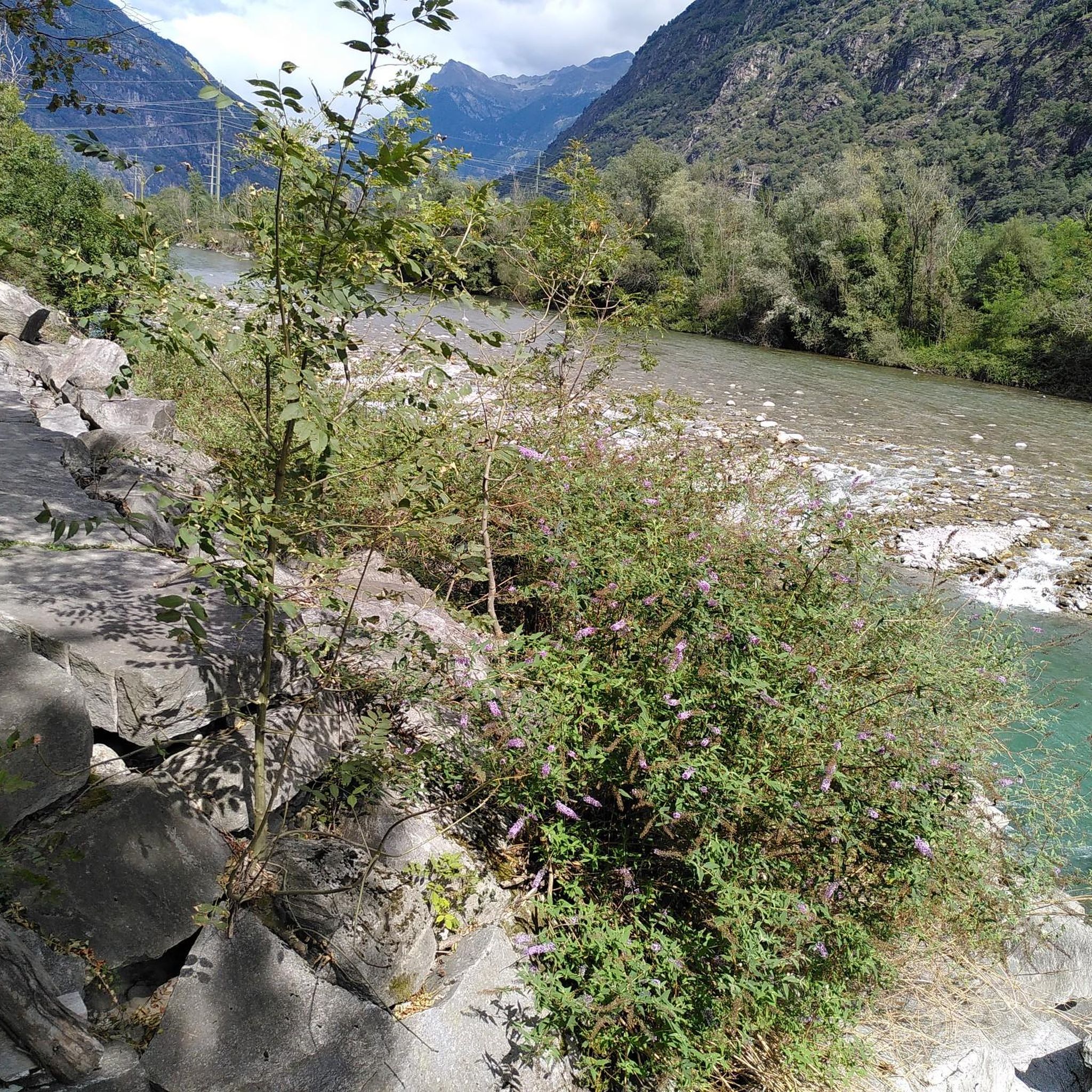
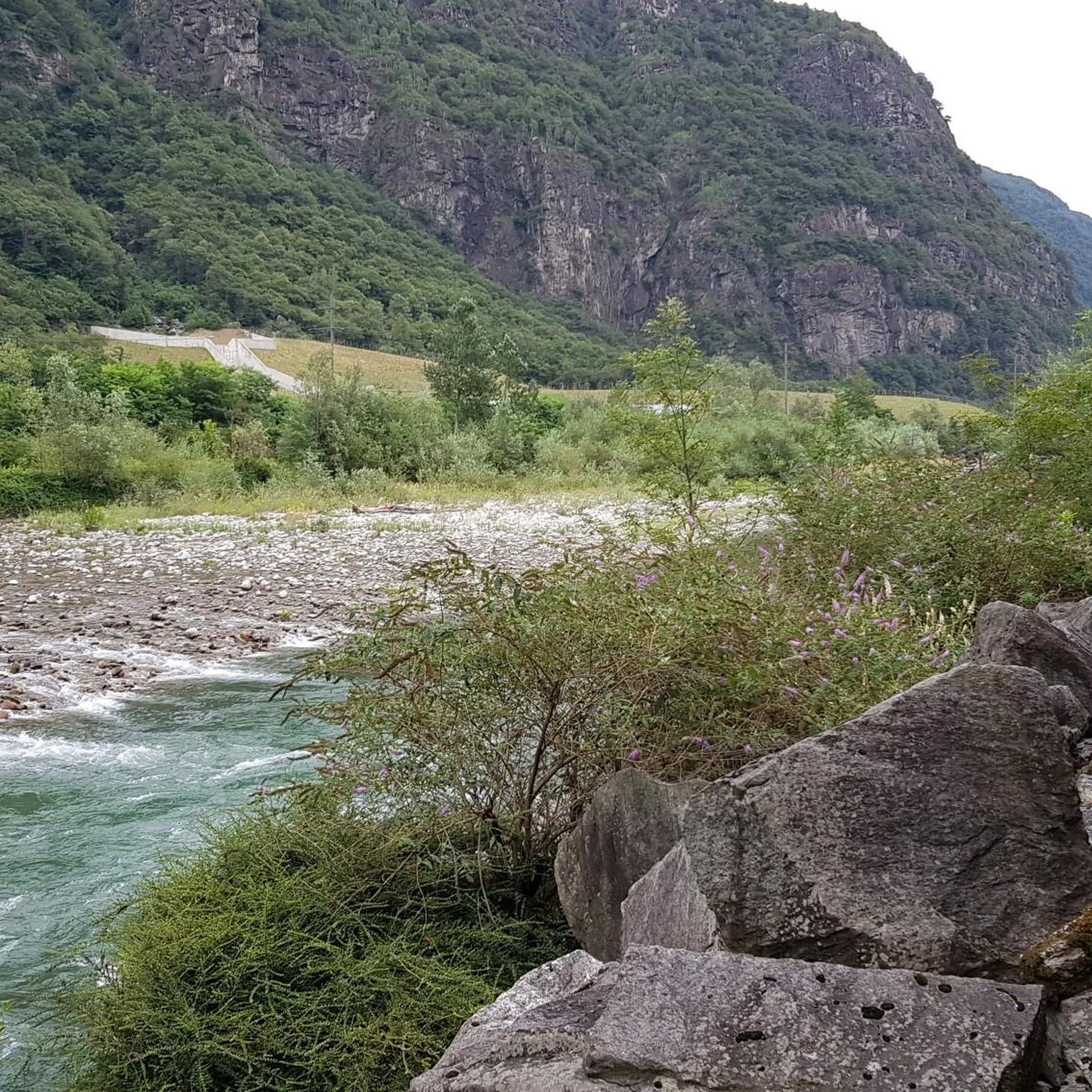
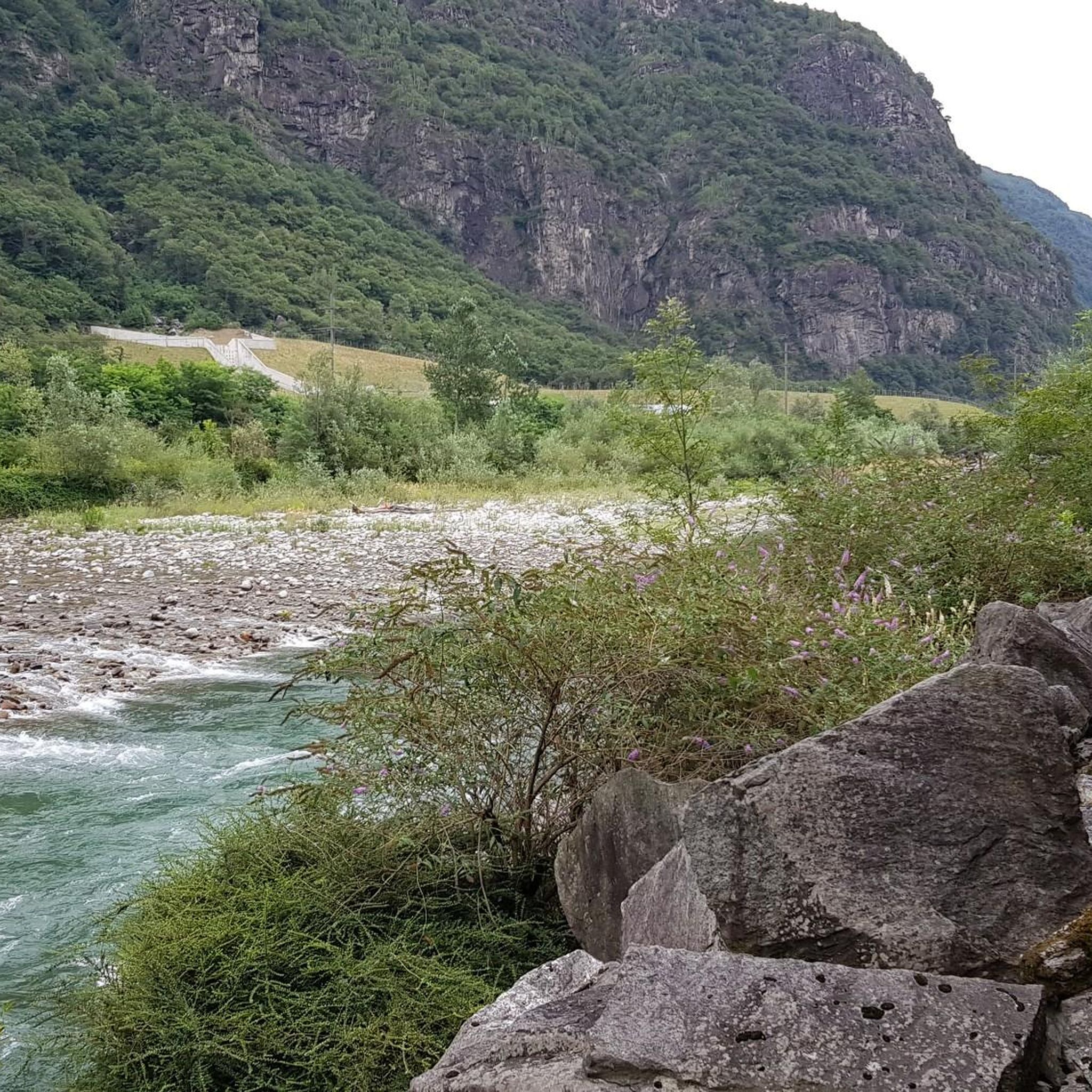
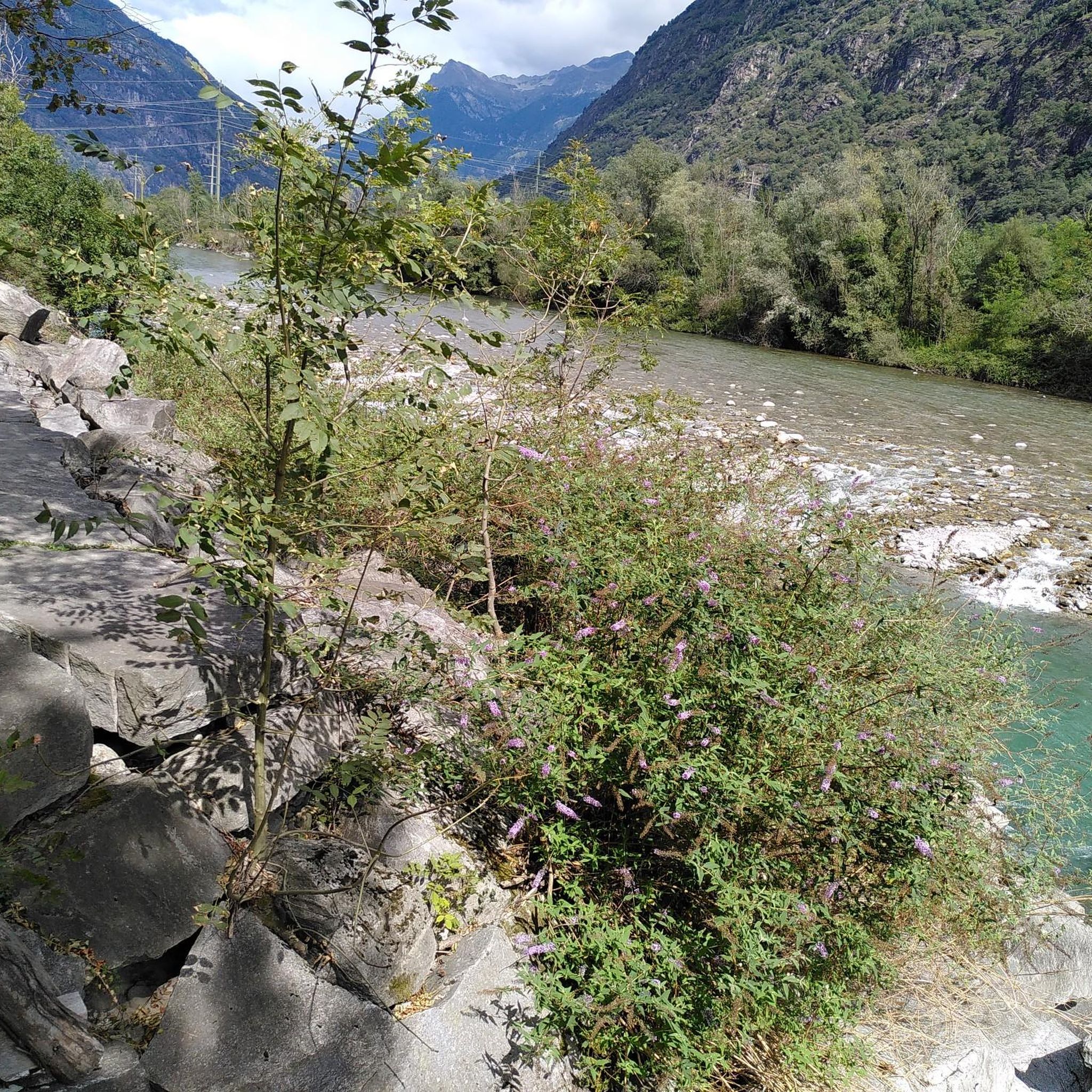
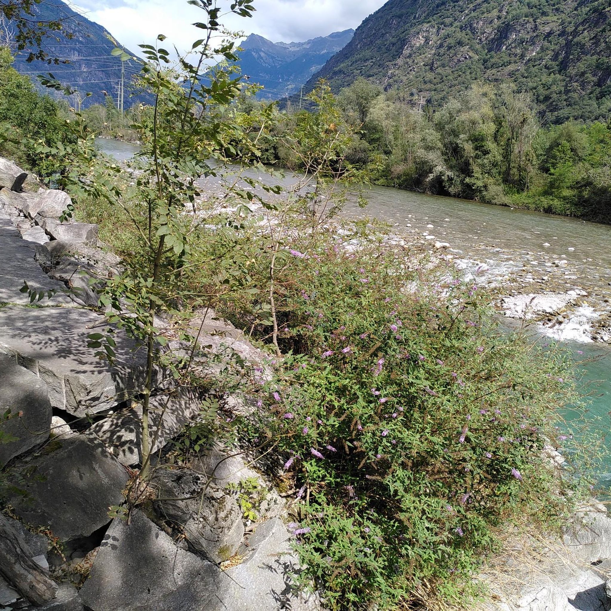
Bocchetta d'Erbea is located between the Gaggio valley and the Molena valley. It is a narrow opening in the rock that divides two very different valleys. The Gaggio valley is green, that of Molena is mainly stony.
1
0
The Forcarella di Lodrino is a mountain pass between the Valle Verzasca and the Riviera in the canton of Ticino. Your pass is at an altitude of 2218 meters above sea level on the ridge that leads from Poncione Rosso (2505m asl) in the north to Scima do Precastell (2358m asl). You can cross the pass on an alpine hiking trail (white-blue-white marking). From the village of Lodrino on the east side, this path first leads up to the huts near In Alva and then high above the Val di Lodrino to the crossing. From Lavertezzo in the Verzasca Valley you hike via Cognera and Forno into the Val Pincascia. At the back of the valley you first climb to Alpe Fümègna and then on to Forcarella di Lodrino.
2
0
Frequently Asked Questions
What kind of mountain passes can I expect to find around Iragna?
The mountain passes around Iragna are generally challenging, offering connections between valleys and providing diverse routes for exploration. They often feature stunning viewpoints and trails, such as the narrow opening of Erbea Pass, which divides a green valley from a stony one.
What are some notable mountain passes to explore near Iragna?
Beyond Erbea Pass, other significant passes include Bocchetta dello Scaiee, located at 2434 meters above sea level on the left side of the Verzasca Valley, and Bocchetta di Rognoi, which connects the Val della Porta and Val Carecchio at 2219 meters.
Are the mountain passes around Iragna suitable for beginners?
Many of the mountain passes around Iragna are described as challenging. For instance, the descent from Erbea Pass on the Moleno Valley side can be particularly difficult, especially with snow, requiring caution. It's advisable for those with prior canyoning or climbing experience to consider the more advanced options in the region.
What natural features can I observe when exploring the passes?
The region is characterized by its natural beauty. You can expect to see deeply carved pools, impressive narrows, and unique white-veined, light gray gneiss rock formations, particularly in the Iragna Gorge. Passes like Erbea Pass showcase distinct valleys, one lush and green, the other predominantly stony.
What outdoor activities can I do near the mountain passes around Iragna?
While the passes themselves offer challenging hikes, the Iragna region is world-renowned for canyoning in the Iragna Gorge. Additionally, there are numerous other outdoor activities. You can find various hiking trails, running routes, and cycling tours in the vicinity.
Are there specific hiking trails near these mountain passes?
Yes, many passes are part of marked hiking trails. For example, Bocchetta dello Scaiee can be crossed on a white-red-white marked mountain hiking trail, with paths leading from villages like Gerra and from mountain huts. For more options, explore the hiking guide for Iragna.
What is the best time to visit the mountain passes around Iragna?
While the region is beautiful, caution is advised in late summer due to potential snow at higher altitudes, which may not melt quickly in shaded areas. Always check local weather conditions before planning your trip, especially for challenging routes.
Are there any family-friendly activities or routes near the mountain passes?
While many mountain passes themselves are challenging, the broader Iragna region offers diverse outdoor experiences. For family-friendly options, it's best to explore the hiking guide for Iragna, which may include easier trails, or consider guided canyoning tours suitable for beginners.
What do komoot users appreciate most about the mountain passes in this area?
Komoot users appreciate the challenging nature of these passes, the stunning panoramic views, and the unique geological formations. The passes are often highlighted for their role in connecting different valleys and offering diverse routes for exploration, as evidenced by 14 upvotes and 20 photos shared by the community.
Can I find mountain huts or accommodation near the passes?
Yes, some passes have mountain huts nearby. For instance, the nearest mountain hut to Bocchetta di Rognoi is the Capanna Borgna. The Bocchetta dello Scaiee is also accessible from the Capanna Efra mountain hut, providing options for overnight stays or refreshments during longer treks.
What makes the Iragna Gorge a significant natural feature in the region?
The Iragna Gorge is a premier destination for canyoning in Switzerland, known for its lush green walls, crystal-clear waters, and exhilarating challenges like jumps up to 14 meters and abseils as long as 40 meters. It's often described as a 'tropical paradise' due to its unique vegetation and stunning scenery.
Are there other challenging peaks to explore besides the passes?
Beyond the mountain passes, the region offers challenging peaks like Pizzo di Claro, standing at 2727 meters. This peak provides incredible panoramic views of the snow-capped Alpine giants and central Ticino, though its ascent is considered difficult (Level T4) for experienced hikers.
Most popular attractions around Iragna

Get inspired with the komoot mobile app


Explore more
See even more epic mountain passes by checking out these guides around Iragna:
