Top 20 Natural Monuments around Waltensburg/Vuorz
Natural monuments around Waltensburg/Vuorz are found in a region of the Swiss canton of Graubünden, characterized by its alpine landscape and diverse natural features. The area offers a range of geological formations, water bodies, and unique ecosystems. These natural sites provide opportunities for exploration and appreciation of the local environment. The landscape is shaped by ancient geological processes and alpine conditions.
Best natural monuments around Waltensburg/Vuorz
- The most popular natural monuments is Berglistüber Waterfall, a waterfall that plunges 44…
Last updated: July 10, 2026
Kistenstöckli
Highlight • Summit
Translated by Google •
Tip by

Muttsee Reservoir
Highlight • Lake
Translated by Google •
Tip by

Sign up now to discover places like this
Get recommendations on the best single tracks, peaks, & plenty of other exciting outdoor places.
Sign up for free
Kärpfbrücke Natural Bridge
Highlight • Natural Monument
Translated by Google •
Tip by

Sardona Tectonic Arena UNESCO World Heritage Site
Highlight • Natural Monument
Translated by Google •
Tip by

Berglistüber Waterfall
Highlight • Waterfall
Translated by Google •
Tip by

Sign up for free to discover even more natural monuments around Waltensburg/Vuorz.
Sign up for free
Already have an account?
Start today with a free account
Your next adventure awaits.
Login or Signup
Popular around Waltensburg/Vuorz
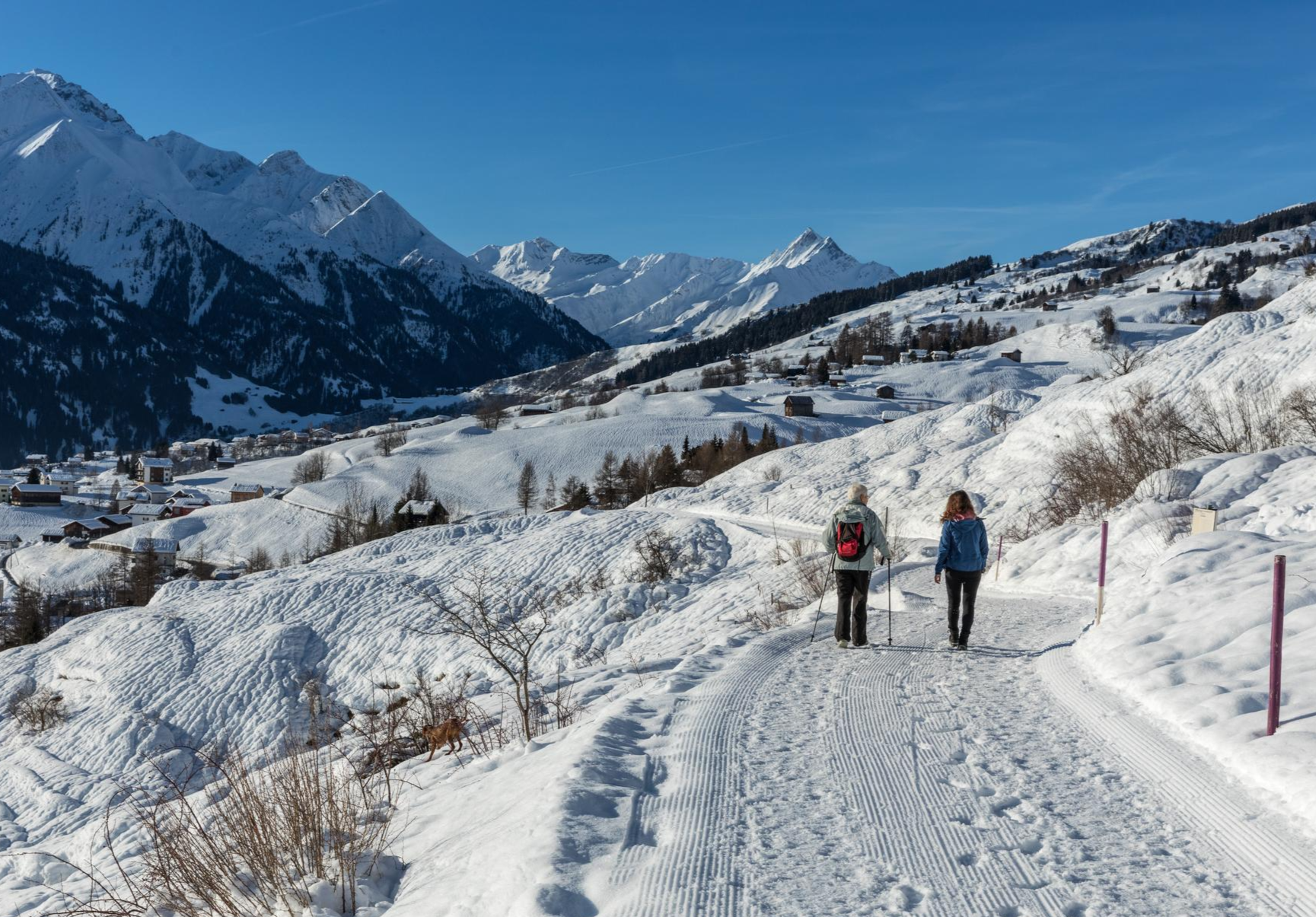
A winter mountain paradise – discover the Surselva
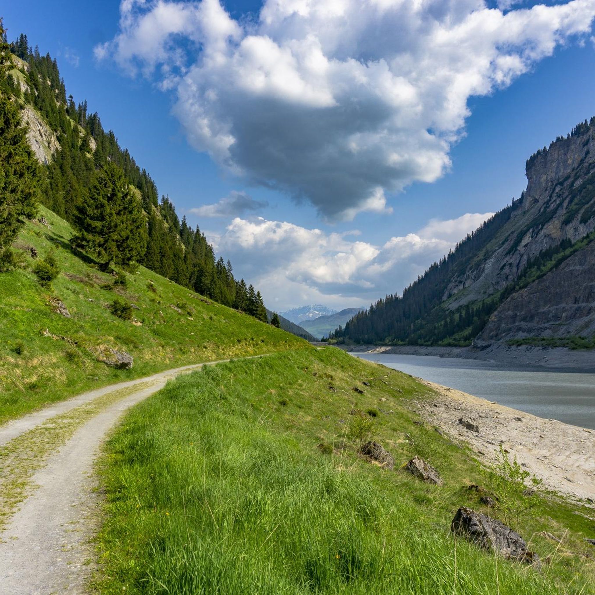
MTB Trails around Waltensburg/Vuorz
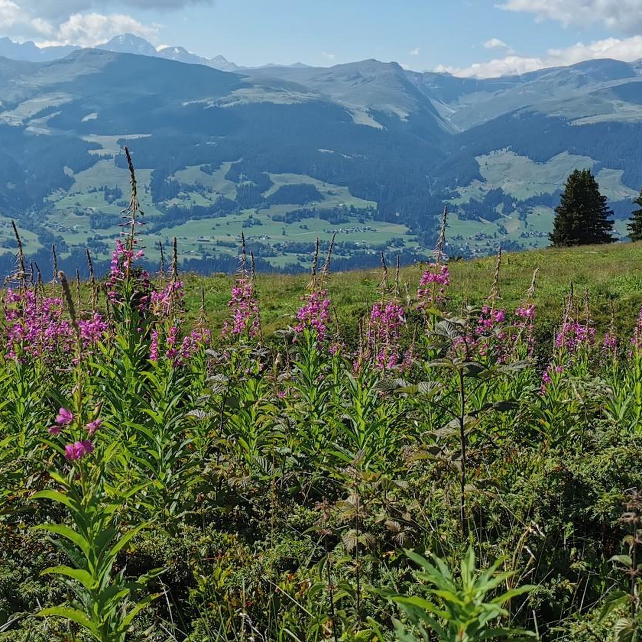
Cycling around Waltensburg/Vuorz
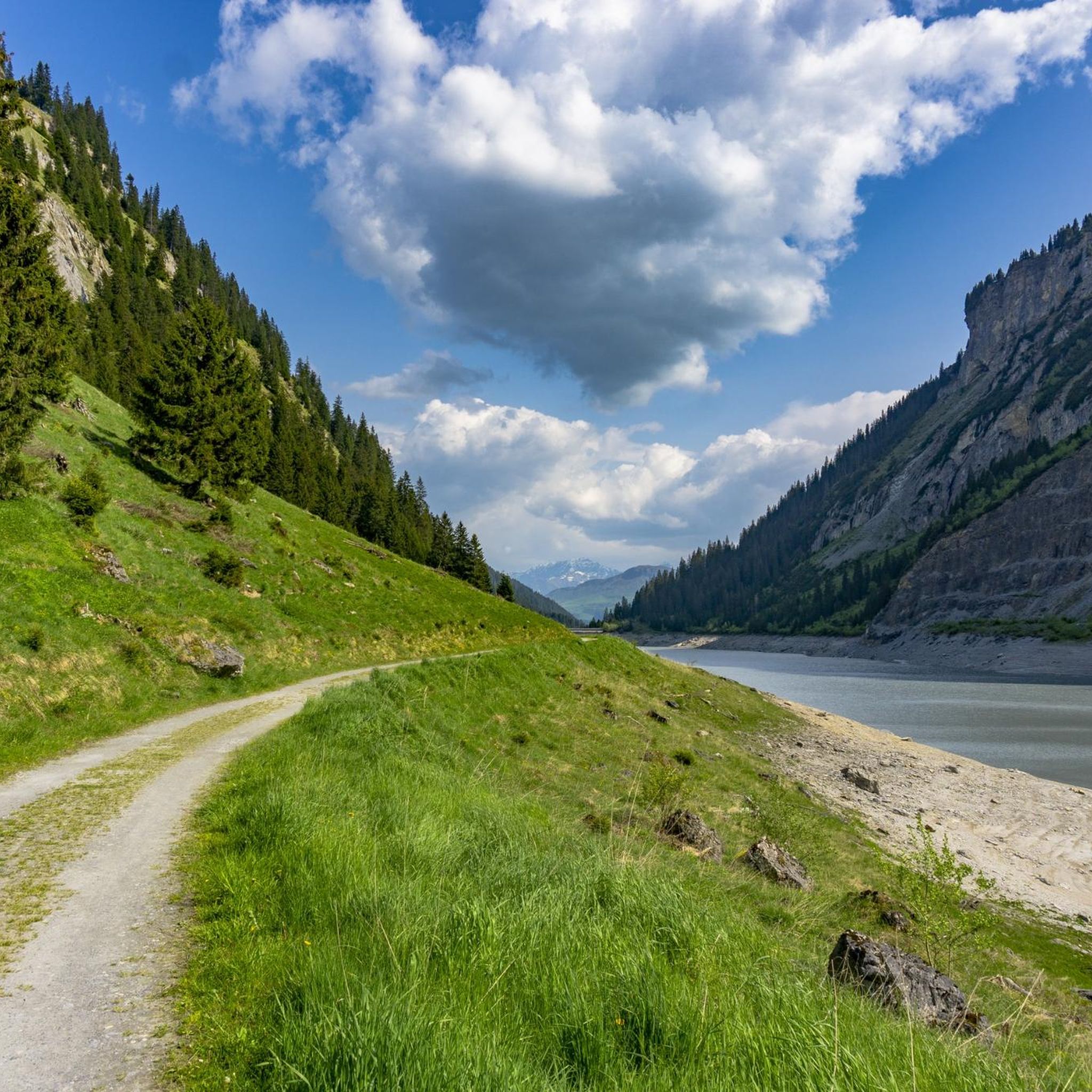
Hiking around Waltensburg/Vuorz
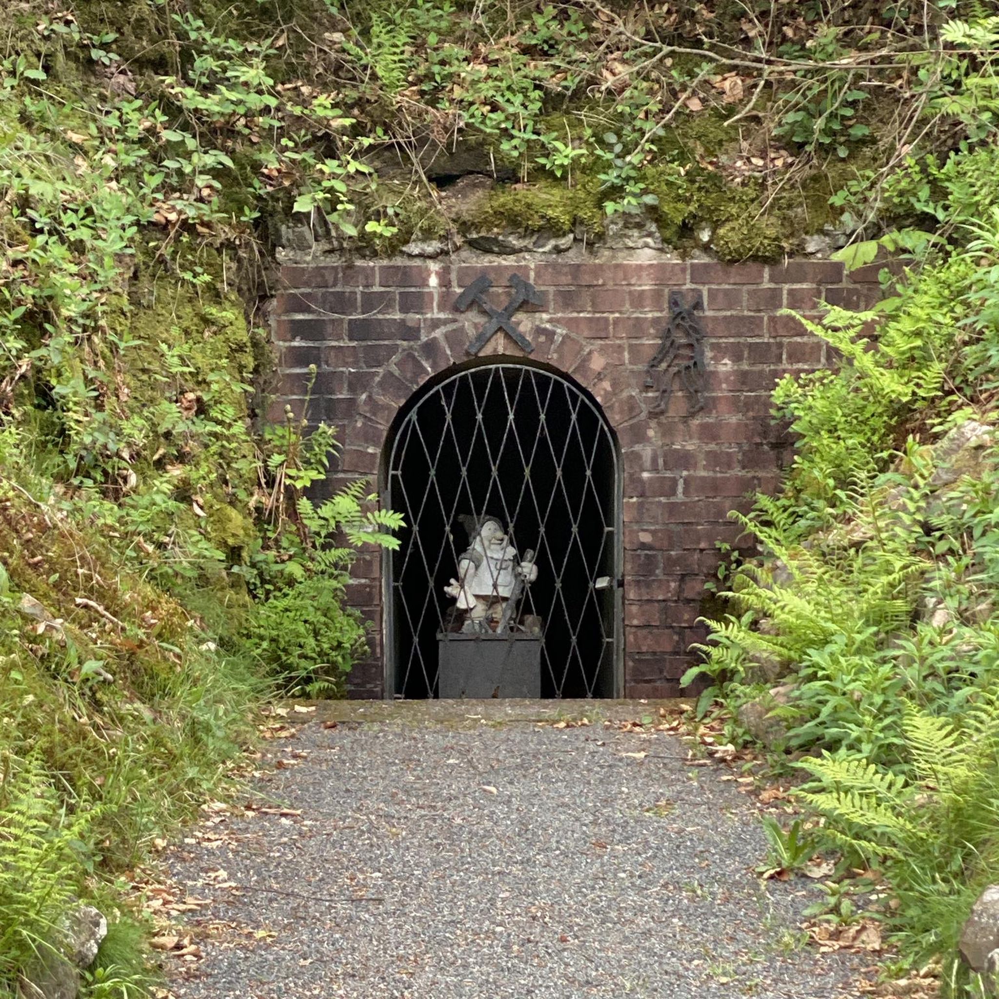
Gravel biking around Waltensburg/Vuorz
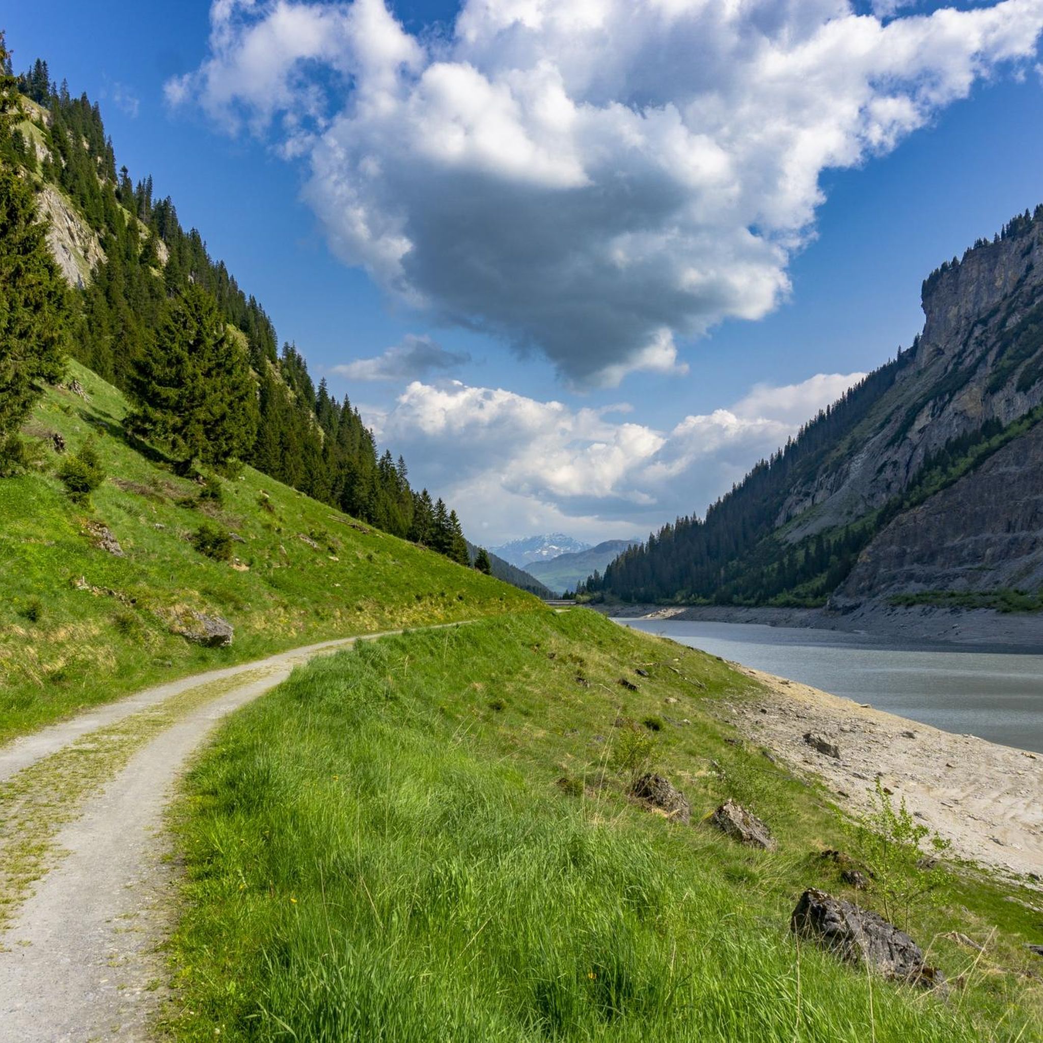
Road Cycling Routes around Waltensburg/Vuorz
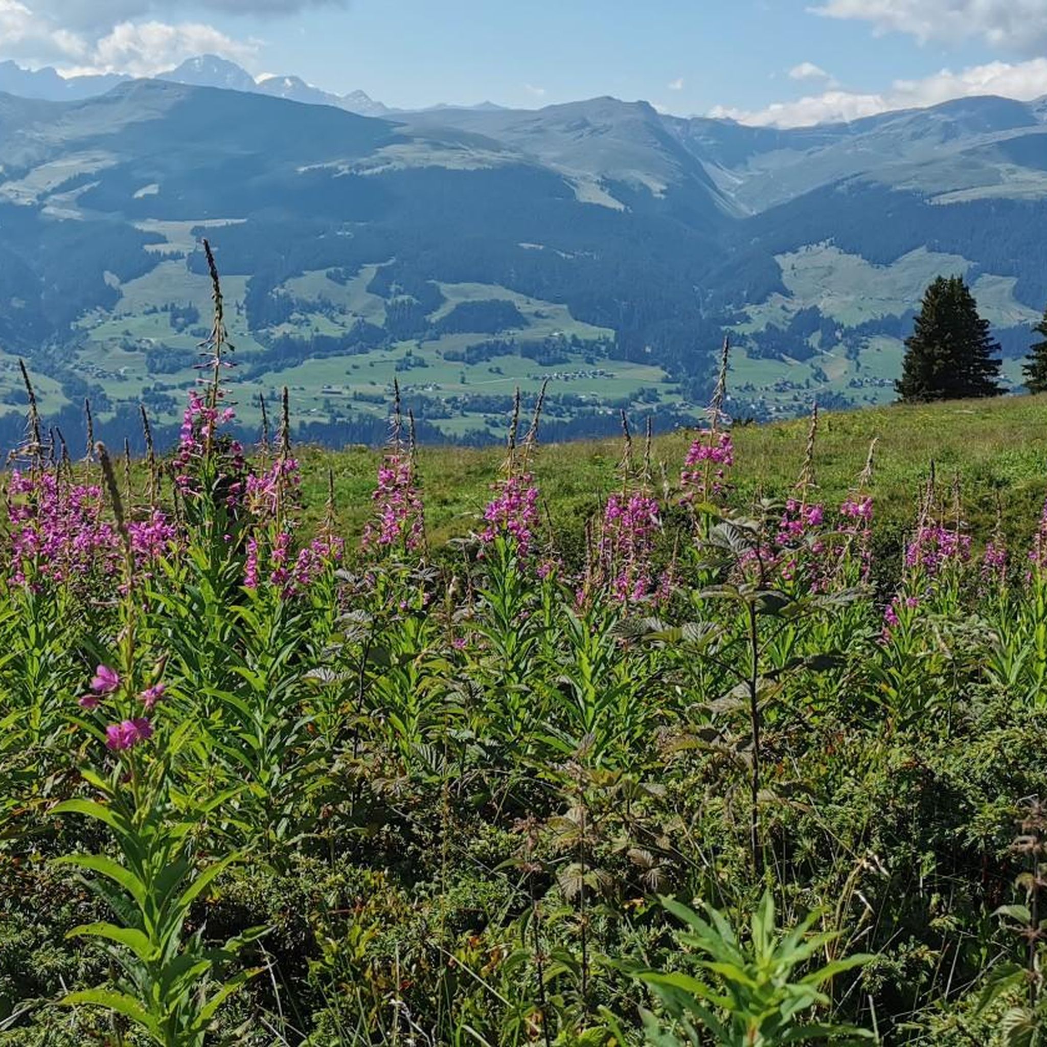
Running Trails around Waltensburg/Vuorz
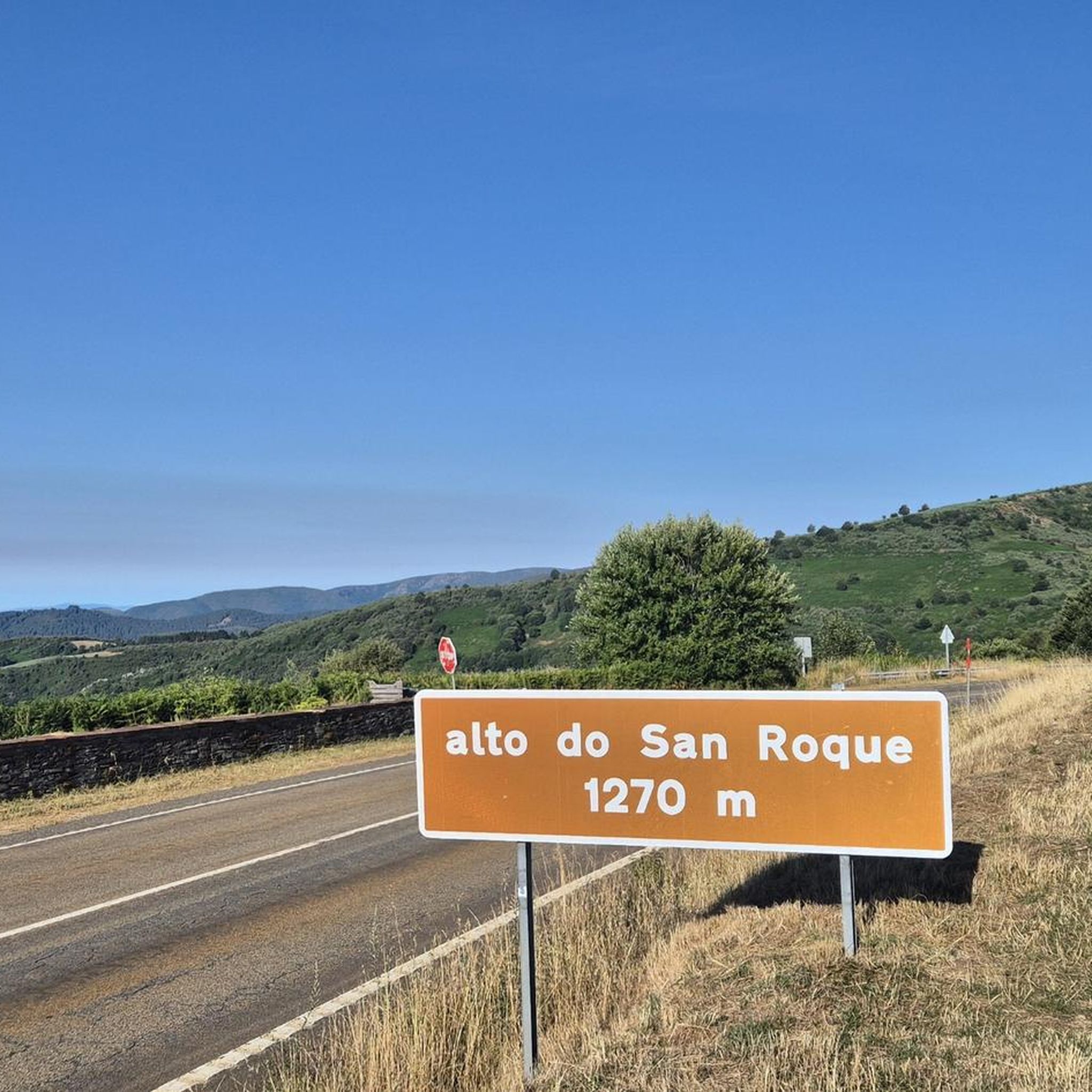
Mountain Hikes around Waltensburg/Vuorz
Other adventures around Waltensburg/Vuorz

Tips from the Community


super pretty here , very nice
2
0

The Muttsee (formerly Mutten See, Muttensee) is a reservoir on the Muttenalp in the southernmost part of the municipality of Glarus South in the canton of Glarus in Switzerland.
2
0
In 1957, the newly founded Kraftwerke Linth-Limmern AG (KLL) began to realize the power plants that had been planned since the beginning of the 1940s by the Nordostschweizerische Kraftwerke (NOK), into which the Muttensee was to be integrated.
2
0
Until 1917, the official name was "Mutten See", then the spelling "Muttensee" appeared. From 1963, the spelling "Muttsee" appeared. The Hühnerbühl is now known in dialect as Hüenderbüel.[3] The kidney-shaped mountain lake was about 1000 meters long and 400 to 500 meters wide. On the Muttenalp plateau known as Hühnerbühl, it covered an area of about 42 hectares. The height of the lake surface was given as 2442 m until 1899, and 2448 m from 1900 to 1962. In the southeast, the lake was drained by a stream, which after a few hundred meters, at about 2400 m, disappeared into the Muttsee cave in the karst subsoil of the Muttenalp.[6] A little to the south, from about 2450 m, the Muttenbach collected the snow water from the Latten via various small tributaries.[5] It led this into the Limmernbach via the Mörthal and the Ochsenblanken.
2
1
The lake is registered in the cantonal landscape register as a landscape of regional importance.[4] In the karst area of the Muttenalp there are - in addition to the Muttsee cave and the Muttsee hut - various other small lakes, most of them distributed southwest of the Muttsee over the Hüenderbüel. The largest neighbor, the Ober See, lies north of the Muttsee at 2474 m. It is the only lake on the Muttenalp that is connected to the Muttsee via its outflow.
2
0
The lake is located at the crossing from Linthal-Tierfehd over the Kistenpass to Brigels. It lies in the 2.95 square kilometer basin of the Muttenalp above the Hüenderbüel. The alp is surrounded by high mountains such as Nüschenstock (2892 m) in the west, Rüchi (2849 m) in the northwest, Hinter Sulzhorn (2737 m) in the northeast, Ruchi (3105 m) in the east and Muttenstock (3088 m) in the southeast. The arena opens to the southwest. It drops steeply over the Muttenwand into the Limmerental and over the Muttenchopf (2482 m) to the Limmerensee.
3
0
As part of significant expansion measures for the power plants between 2009 and 2017, the dam built in 1963 was replaced by a concrete dam wall. This has a length of 1054 meters, making it the longest dam wall in Switzerland. The water level reaches a height of 2474 m when fully filled. This makes the Muttsee the highest reservoir in Switzerland, with a capacity of more than 10 million m³. The highest reservoir under the supervision of the federal authorities is the Viderjoch reservoir in the Silvretta Arena, which lies at 2664 m.[1][2] Since 2021, the largest alpine photovoltaic system in Switzerland has been under construction on the dam wall.
4
0
Frequently Asked Questions
What unique natural features can I explore around Waltensburg/Vuorz?
The region offers diverse natural features. You can discover the unique ecosystem of Val Frisal, known for its meandering watercourses, alluvial plain, and low-moor bog. This valley also hosts the Uaul Scatlè, considered the smallest but highest-situated spruce primeval forest in Europe, with trees up to 600 years old. Additionally, the area features impressive geological formations like the Sardona Tectonic Arena UNESCO World Heritage Site, which provides exceptional insight into mountain formation.
Are there any family-friendly natural monuments in the area?
Yes, the Berglistüber Waterfall is considered family-friendly. It's a beautiful waterfall where you can even walk behind the cascading water. The hike into Val Frisal is also varied, scenic, and suitable for families, with clearly marked mountain hiking trails and grilling places along the Flem creek.
What is the best time to visit the natural monuments around Waltensburg/Vuorz?
The best time to visit depends on what you want to see. For Val Frisal, late June to early July is particularly attractive when alpine roses are in bloom, and the valley is vibrant with marsh cottongrass flowerheads. Generally, the warmer months are ideal for hiking and exploring the alpine landscapes.
What kind of hiking opportunities are available near these natural monuments?
The region offers a variety of hiking experiences. For instance, the hike into Val Frisal is well-suited for families. For more challenging routes, consider the steep ascent to Kistenstöckli, which offers panoramic views and involves some sections secured with chains. You can find many more options in the Hiking around Waltensburg/Vuorz guide, including moderate trails like the 'Lake Brigels – Breil/Brigels village center loop'.
Can I explore any caves or natural bridges in the region?
Yes, you can visit the Kärpfbrücke Natural Bridge. This natural monument features a gorge and a cave. It's possible to go into the cave at low water, but be aware that the terrain can be challenging with slippery rocks, and some scrambling experience is helpful.
Are there any significant man-made structures that are also considered natural monuments?
Yes, the Muttsee Reservoir is a notable example. It is Switzerland's highest reservoir and features the country's longest dam wall, stretching over 1054 meters. This impressive structure is part of a hydropower system and is considered a man-made monument within the natural landscape.
What makes the Sardona Tectonic Arena a UNESCO World Heritage Site?
The Sardona Tectonic Arena UNESCO World Heritage Site is recognized for its exceptional insight into mountain formation. It dramatically showcases the collision of continental plates, providing a clear three-dimensional expression of these geological processes in a stunning mountain landscape. Its historical significance as a research object and ongoing importance for geology contribute to its outstanding universal value.
What kind of wildlife can be found in the natural monuments of Waltensburg/Vuorz?
The unique ecosystems, particularly in areas like Val Frisal with its low-moor bog, support diverse flora and fauna. While specific wildlife sightings are not guaranteed, these protected riparian landscapes and ancient forests provide habitats for various alpine species. Keep an eye out for birds and small mammals typical of high-alpine environments.
Are there any challenging natural monuments for experienced hikers or climbers?
Absolutely. The ascent to Kistenstöckli is a challenging climb, involving steep sections and chains, offering a rewarding panoramic view from the summit. The Kärpfbrücke Natural Bridge also presents a challenging route, especially if you venture into the cave, requiring careful navigation over slippery rocks.
What outdoor activities, besides hiking, can I do near these natural monuments?
The region around Waltensburg/Vuorz is excellent for various outdoor sports. You can explore numerous routes for gravel biking and mountain biking. For gravel biking, consider routes like the 'Cuolm Sura – View of the Rhine Gorge loop'. Mountain bikers can find trails such as the 'View of the Rhine Gorge – Alp Sezner Mountain Hut loop'. More details are available in the Gravel biking around Waltensburg/Vuorz and MTB Trails around Waltensburg/Vuorz guides.
What do visitors enjoy most about the natural monuments in Waltensburg/Vuorz?
Visitors frequently appreciate the breathtaking scenery and the sense of tranquility offered by these natural sites. The unique perspective from behind the Berglistüber Waterfall is a highlight, as are the stunning views from summits like Kistenstöckli. The ecological significance and dramatic geological formations of sites like the Sardona Tectonic Arena also leave a lasting impression.
Are there any hidden gems or less-known natural monuments worth discovering?
While not explicitly 'hidden,' the entire Val Frisal high valley, with its unique ecological features and ancient forest, offers a profound experience of untouched nature. For those seeking adventure, off-trail hiking along the northern valley side allows for exploration of the glacier forefields near Durschin, providing a real adventure away from more frequented paths.
Most popular routes around Waltensburg/Vuorz
Most popular attractions around Waltensburg/Vuorz

Get inspired with the komoot mobile app


Explore more
Extend your search for the best caves by checking out these guides of the top ones around Waltensburg/Vuorz:
