Top 4 Mountain Passes around Hemmiken
Best mountain passes around Hemmiken are situated in the canton of Basel-Landschaft, Switzerland. Hemmiken is a municipality with an elevation of 497 meters, located in a valley off the Ergolz valley. The region features a rural and agricultural landscape, with land used for farming and forestry. While not known for high-alpine routes, the area offers mountain passes that connect different cantons and provide views of the Jura hills.
Best mountain passes around Hemmiken
- The most popular mountain pass is Saalhöhe…
Last updated: June 26, 2026
Saalhöhe Pass
Highlight • Mountain Pass
Translated by Google •
Tip by

Salhöhe-Hard-Wasserflue-Salhöhe (SO) Hike (Easy)
Highlight • Trail
Translated by Google •
Tip by

Sign up now to discover places like this
Get recommendations on the best single tracks, peaks, & plenty of other exciting outdoor places.
Sign up for free
Northern ascent to Saalhöhe Pass (787 m)
Highlight (Segment) • Mountain Pass
Translated by Google •
Tip by

Sissacher Flue
Highlight (Segment) • Mountain Pass
Translated by Google •
Tip by

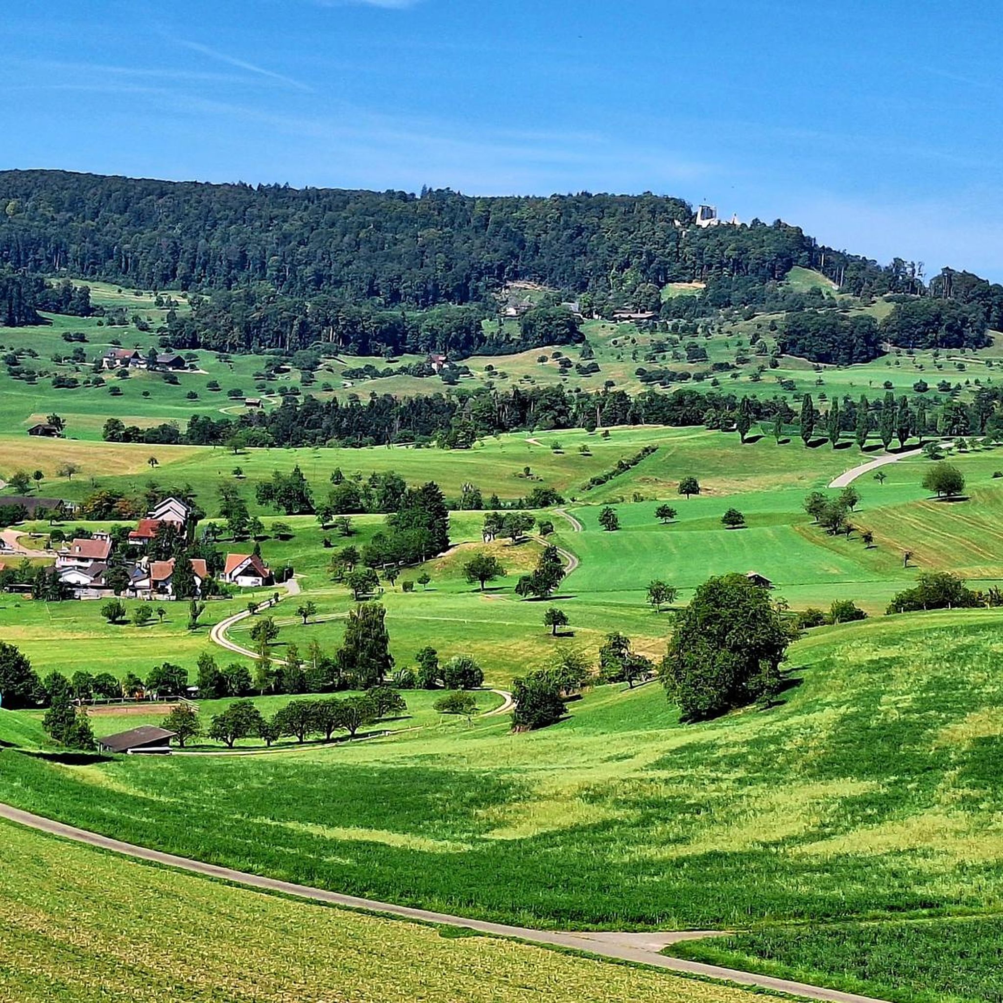
View of Salhöhe Pass from Oberhof
Highlight (Segment) • Viewpoint
Translated by Google •
Tip by

Start today with a free account
Your next adventure awaits.
Login or Signup
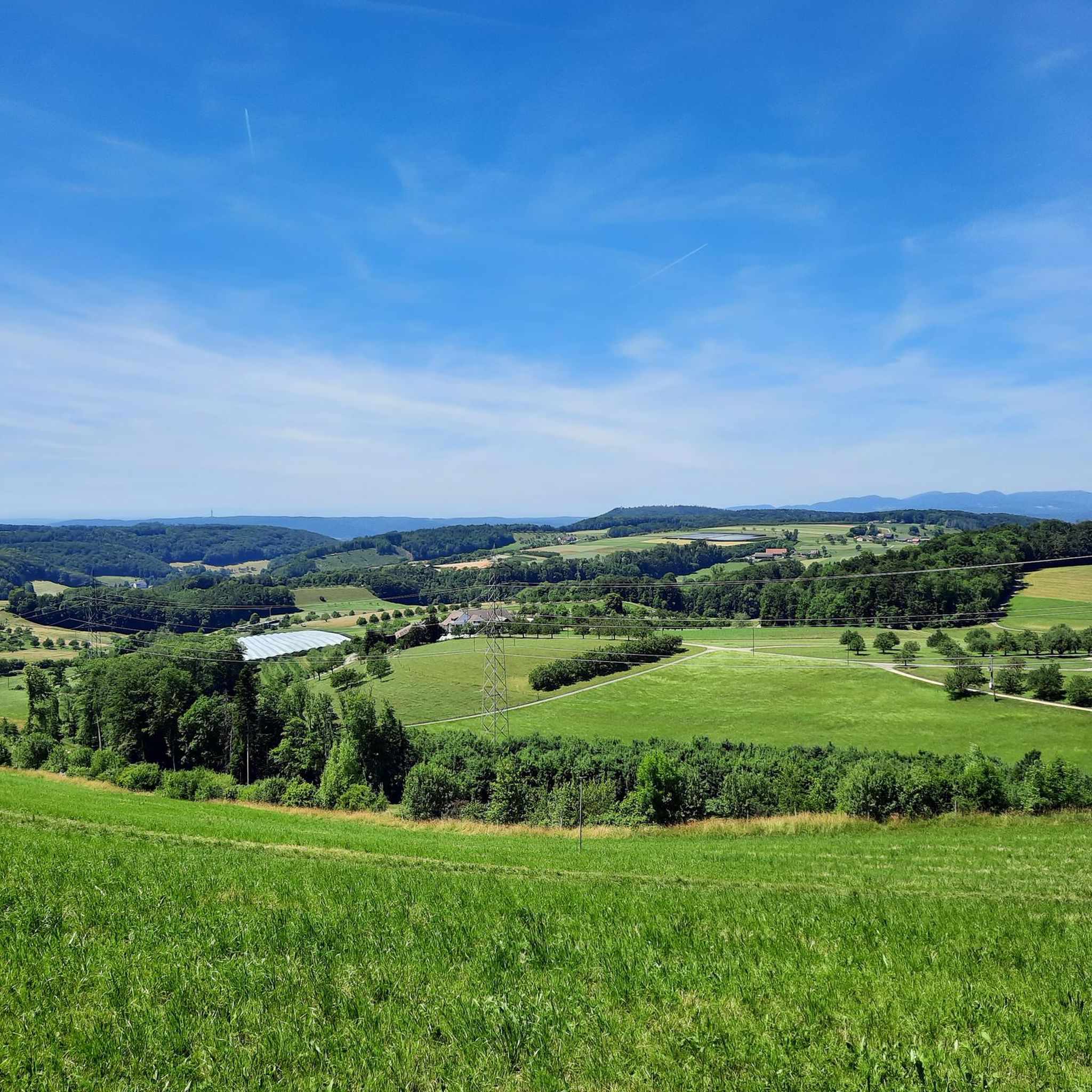
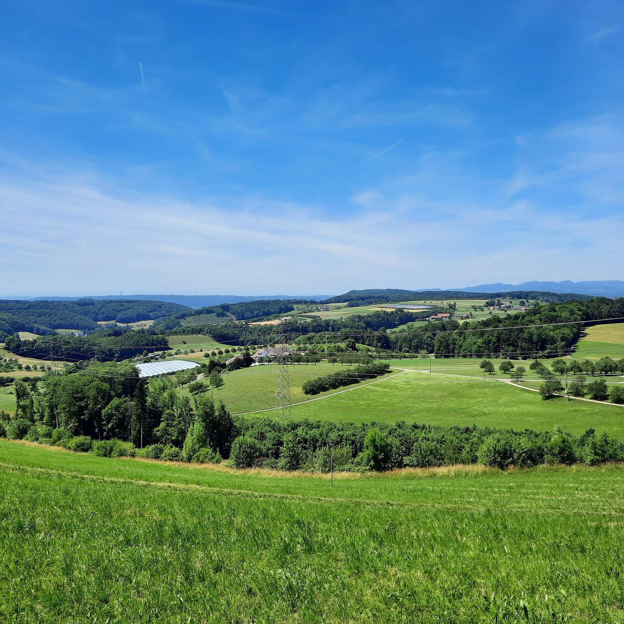
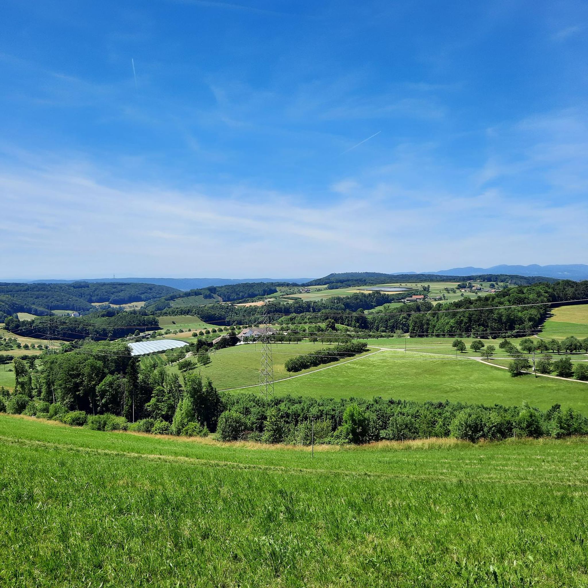
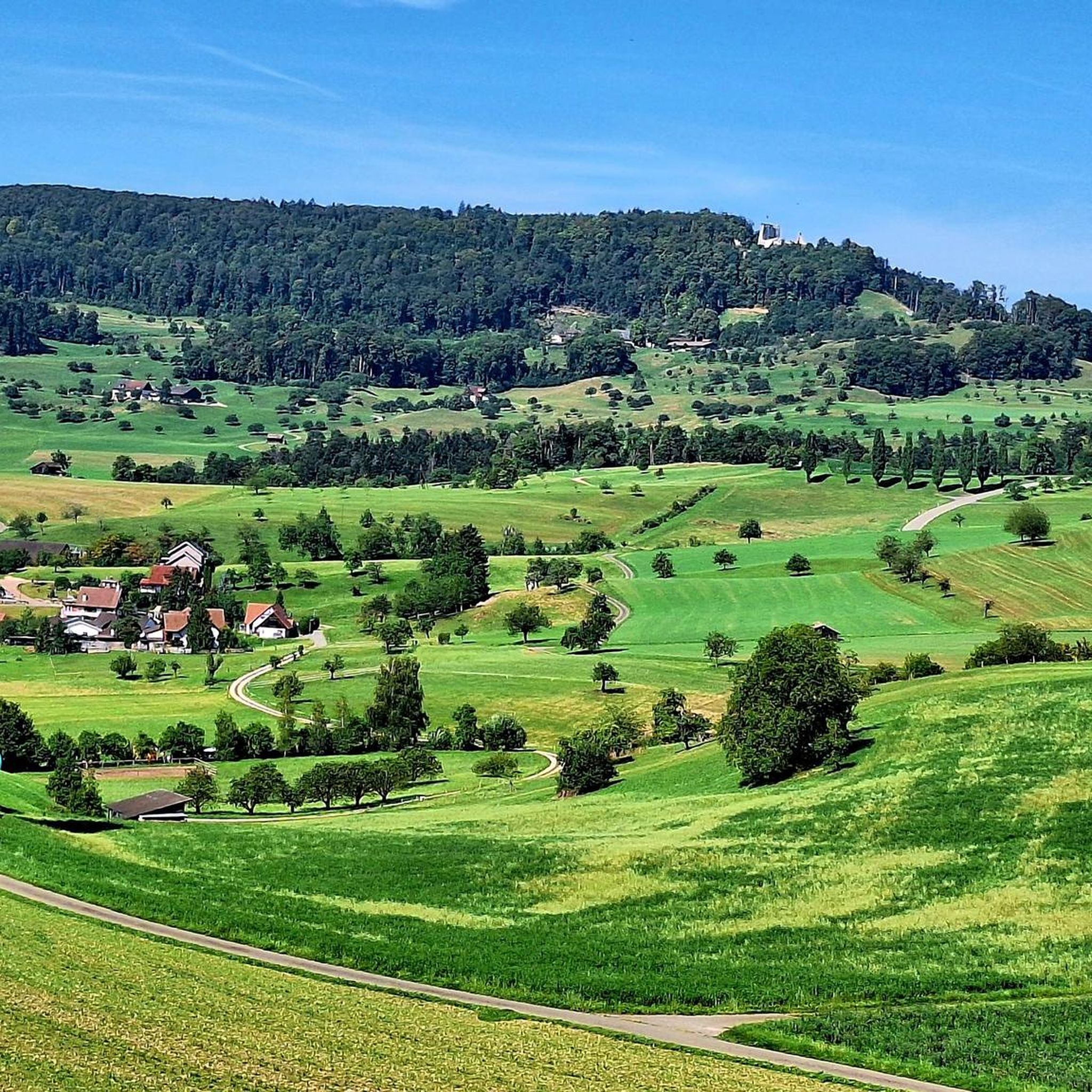
Tips from the Community

Starting point for many beautiful Jura hikes
5
0

An extremely suitable starting point (free parking and public transport) for wonderful hikes to the highest point in Aargau, Geissfluegrat, even with a summit book, or in the other direction to Wasserflue with a fantastic view. You can cross three cantons here with little effort. If you can, you should avoid weekends and public holidays. There are a lot of people on the road and the motorcyclists are a particular nuisance, racing up and down the road at extremely high speeds and with a noise like that at the Nürburgring. "Safety first" is literally a foreign word for some people.
4
0
Free, very large car park at Salhöhe (or Saalhöhe). You can also arrive by bus. Restaurant on site with a fun-decorated garden. Particular caution is required on public holidays due to (speeding) motorbike riders (including in the car park).
1
0

A very nice easy hike. Hiking poles are an advantage. Sure-footedness is essential. There are very beautiful viewpoints and fantastic views of the Alps. Especially at the height of the Wasserflue, the view of the Alps is a dream. There is also a very large bench where you can take a break at the same time. There are a few barbecue areas along the way where you can relax and grill something. The Salhöhe is a pass in the Swiss Jura at an altitude of 787 m above sea level. M. and a maximum gradient of 10.5%. It connects the towns of Kienberg and Erlinsbach. The Salhöhe forms the cantonal border between the cantons of Aargau and Solothurn. At the starting point there is the well-known Saalhöhe Restaurant where you can go for something to eat or drink. I found the following highlights of the hike: - Always great viewpoints of the Alps - If you go early in the morning you can enjoy nature even more and take it easy. Important: This hike starts directly from the public parking lot. (Toll-free) FYI: Moderately difficult hike Difficulty level: T1 (hiking)
1
0

Good starting or end point for various hikes, accessible by bus, restaurant available
3
0

A round pass with everything a hiker's heart doesn't desire: cars, mopeds, e-bikes
5
0

Not far from the pass road, the roar of the engines can no longer be heard
5
1

On this pass, some hiking trails invite you to take a tour and then you go to the cozy restaurant for a stop.
8
1
Frequently Asked Questions
What are the most popular mountain passes around Hemmiken?
The most popular mountain pass in the area is Saalhöhe Pass, which is highly appreciated by the komoot community. It offers hiking trails and a restaurant stop, serving as a transition between the cantons of Aargau, Solothurn, and Baselland. Another well-regarded spot is Northern ascent to Saalhöhe Pass (787 m), known for its intermediate climb and views of the Aargauer Jura hills.
Are there hiking trails associated with the mountain passes near Hemmiken?
Yes, several mountain passes offer hiking opportunities. For instance, Saalhöhe Pass has inviting hiking trails. Additionally, the Salhöhe-Hard-Wasserflue-Salhöhe (SO) Hike is an easy route starting from Salhöhe, offering beautiful viewpoints and fantastic views of the Alps. For more hiking options, you can explore the Running Trails around Hemmiken guide.
What kind of views can I expect from the mountain passes in this region?
The mountain passes around Hemmiken, particularly those in the Jura, offer scenic views of the surrounding hills and countryside. From the Northern ascent to Saalhöhe Pass (787 m), you can enjoy beautiful views of the Aargauer Jura hills. The Salhöhe-Hard-Wasserflue-Salhöhe (SO) Hike also promises fantastic views of the Alps, especially from the Wasserflue.
Are there any family-friendly activities or trails near Hemmiken's mountain passes?
While specific 'family-friendly' categories aren't listed for all passes, the Salhöhe-Hard-Wasserflue-Salhöhe (SO) Hike is described as an 'easy hike' with barbecue areas along the way, which can be suitable for families. It also features a very large bench for breaks. Always consider the difficulty and length of the trail when planning with children.
What outdoor activities are available near the mountain passes around Hemmiken?
Beyond hiking, the region offers various outdoor activities. You can find options for gravel biking and mountain biking with routes ranging from moderate to difficult. There are also dedicated running trails available.
What is the difficulty level of the mountain passes and trails in the Hemmiken area?
The difficulty varies. For instance, the Northern ascent to Saalhöhe Pass (787 m) is an intermediate climb, suitable for cyclists looking to gain altitude. The Salhöhe-Hard-Wasserflue-Salhöhe (SO) Hike is rated as an easy hike (T1 difficulty), though sure-footedness is essential. Always check specific route details for current conditions and difficulty ratings.
Are there places to eat or rest near the mountain passes?
Yes, some passes offer amenities. Saalhöhe Pass has a restaurant, though it's noted that the Chalet restaurant was temporarily closed but is otherwise highly recommended. The starting point of the Salhöhe-Hard-Wasserflue-Salhöhe (SO) Hike also features the well-known Saalhöhe Restaurant. Additionally, there are barbecue areas along some trails.
How accessible are the mountain passes by public transport or car, and is parking available?
For the Salhöhe-Hard-Wasserflue-Salhöhe (SO) Hike, there is a free and very large public car park at Salhöhe, and it's also possible to arrive by bus. While specific parking details for all passes aren't provided, many popular trailheads typically offer parking facilities.
What makes the Sissacher Flue a notable mountain pass?
Sissacher Flue is known for its rise from Wintersingen and provides a good connection between Ergolztal and Fricktal towards Rheinfelden. It's appreciated for its scenic route, which can be enjoyed by both hikers and cyclists.
What is the best time to visit the mountain passes around Hemmiken?
While specific seasonal recommendations are not detailed, the region's rural and agricultural character suggests that spring, summer, and autumn would generally be ideal for hiking and cycling, offering pleasant weather and clear views. Winter conditions might make some trails challenging, especially at higher elevations.
What are some unique aspects of the mountain passes in the Hemmiken region compared to other Swiss passes?
Unlike the high-alpine routes of the Central Alps, the mountain passes around Hemmiken are situated in a more rural and agricultural landscape within the Basel-Landschaft canton. They primarily serve as important connections between different cantons like Aargau, Solothurn, and Baselland, offering views of the Jura hills rather than dramatic high-mountain scenery. They are well-suited for day trips and offer a mix of hiking and cycling opportunities.
Are there any less crowded options for experiencing the mountain passes?
If you're looking for a quieter experience, the road to Salhöhe Pass from Oberhof is noted as being practically without traffic, making it an insider tip for those seeking tranquility compared to the more frequented routes from Kienberg and Erlinsbach.
Most popular routes around Hemmiken
Most popular attractions around Hemmiken

Get inspired with the komoot mobile app


Explore more
See even more epic mountain passes by checking out these guides around Hemmiken:
