Top 20 Natural Monuments around Starrkirch-Wil
Best natural monuments around Starrkirch-Wil encompass a variety of natural landscapes and recreational areas. This municipality in the canton of Solothurn, Switzerland, features diverse natural attractions. These include protected river floodplains, elevated viewpoints, and forest trails. The region offers opportunities for nature observation and outdoor activities.
Best natural monuments around Starrkirch-Wil
- The most popular natural monument is Belchenflue Summit Viewpoint, a summit that offers panoramic views. This viewpoint is located on the highest point of the Swiss Belchen, accessible…
Last updated: June 26, 2026
Wisenberg Observation Tower
Highlight • Monument
The forest grew higher and higher, making it necessary to expand the tower.
Translated by Google •
Tip by

Belchenflue Summit Viewpoint
Highlight • Summit
Translated by Google •
Tip by
Sign up now to discover places like this
Get recommendations on the best single tracks, peaks, & plenty of other exciting outdoor places.
Sign up for free
Geissfluhgrat — Highest point in the Canton of Aargau
Highlight • Summit
Unfortunately, from here you do not have the brilliant view as from the Geissflue.
Translated by Google •
Tip by
Wartenfels Castle
Highlight • Castle
wartenfels.ch
Translated by Google •
Tip by

Gwidemflue Ridge and World War I Fortifications
Highlight • Historical Site
Translated by Google •
Tip by

Sign up for free to discover even more natural monuments around Starrkirch-Wil.
Sign up for free
Already have an account?
Start today with a free account
Your next adventure awaits.
Login or Signup

Tips from the Community

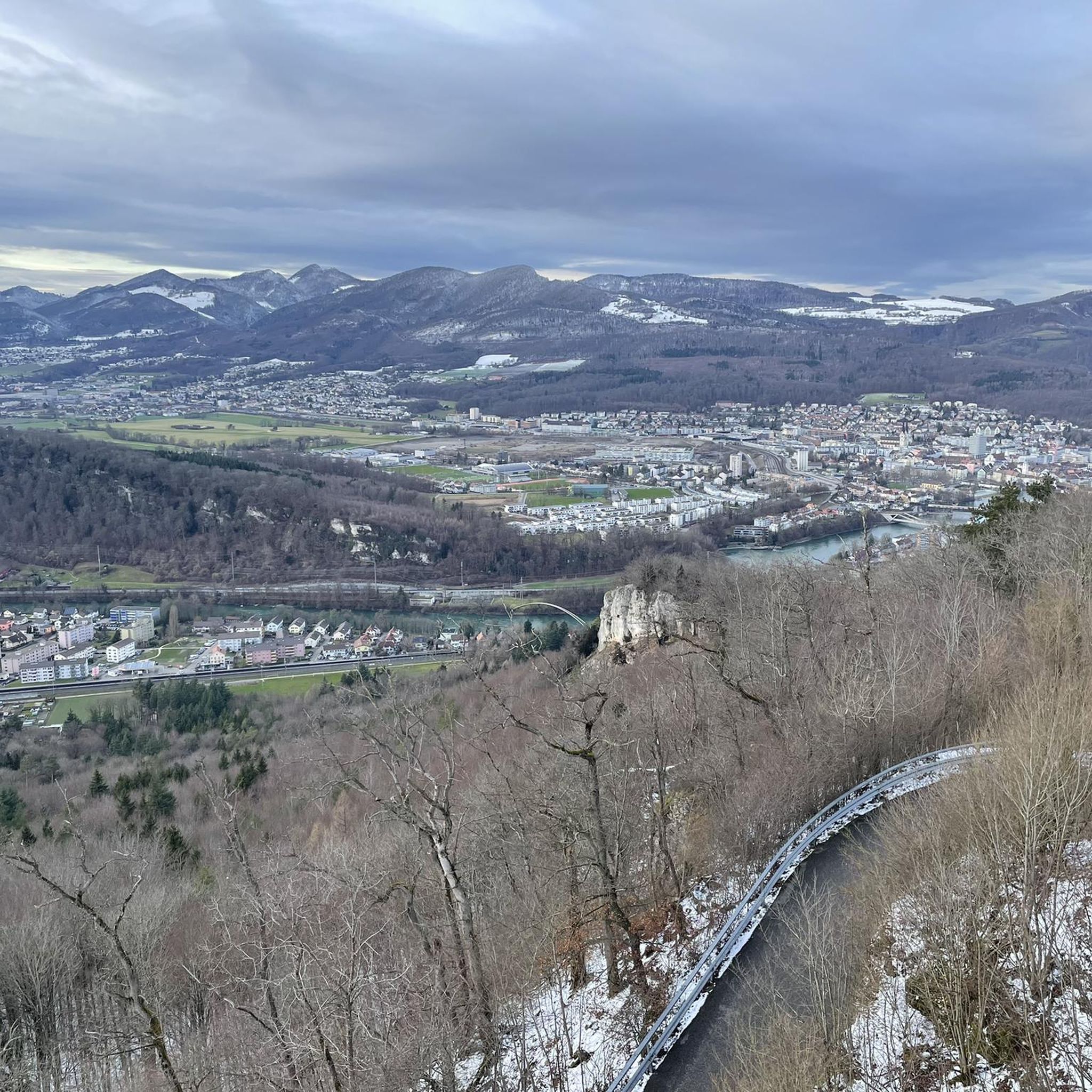
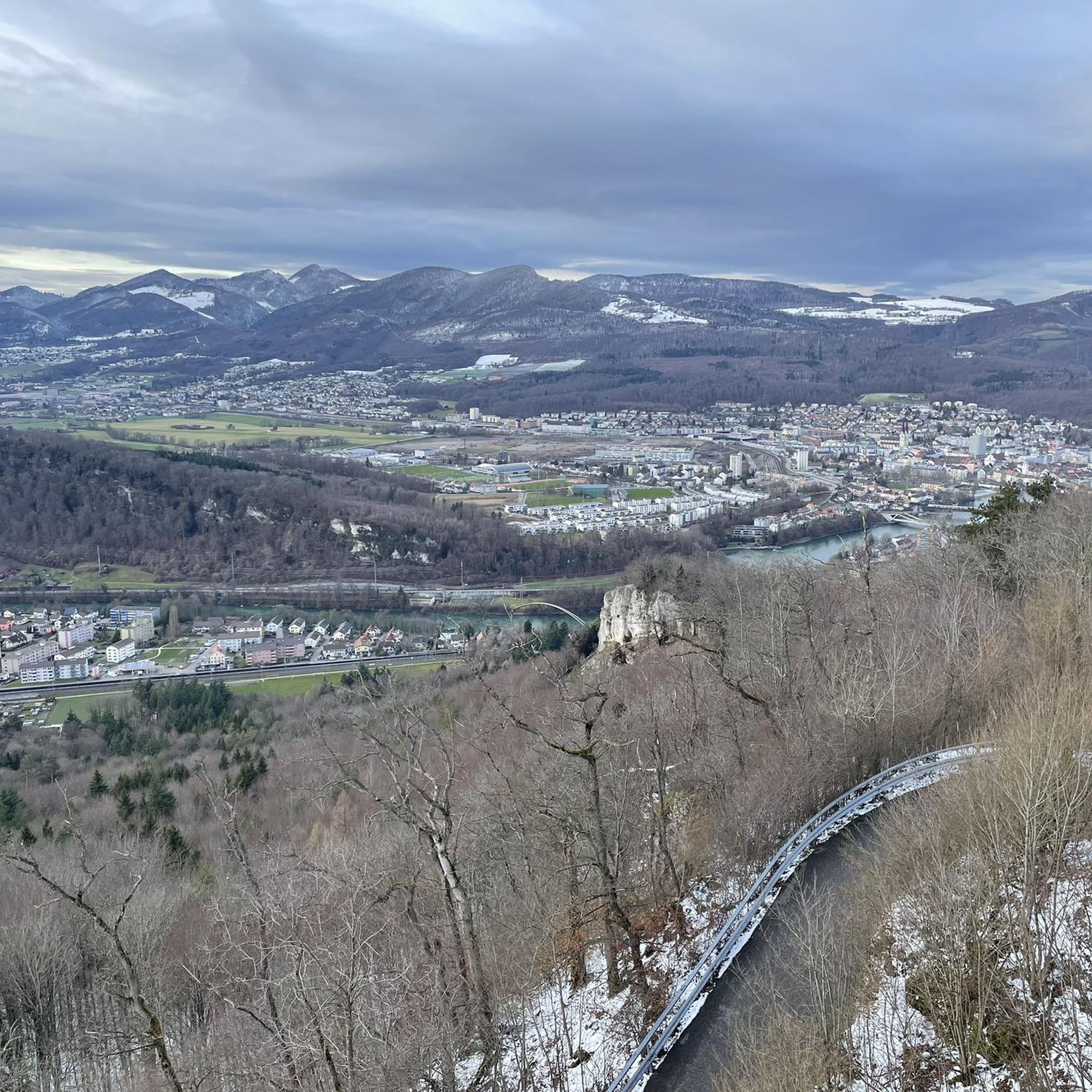
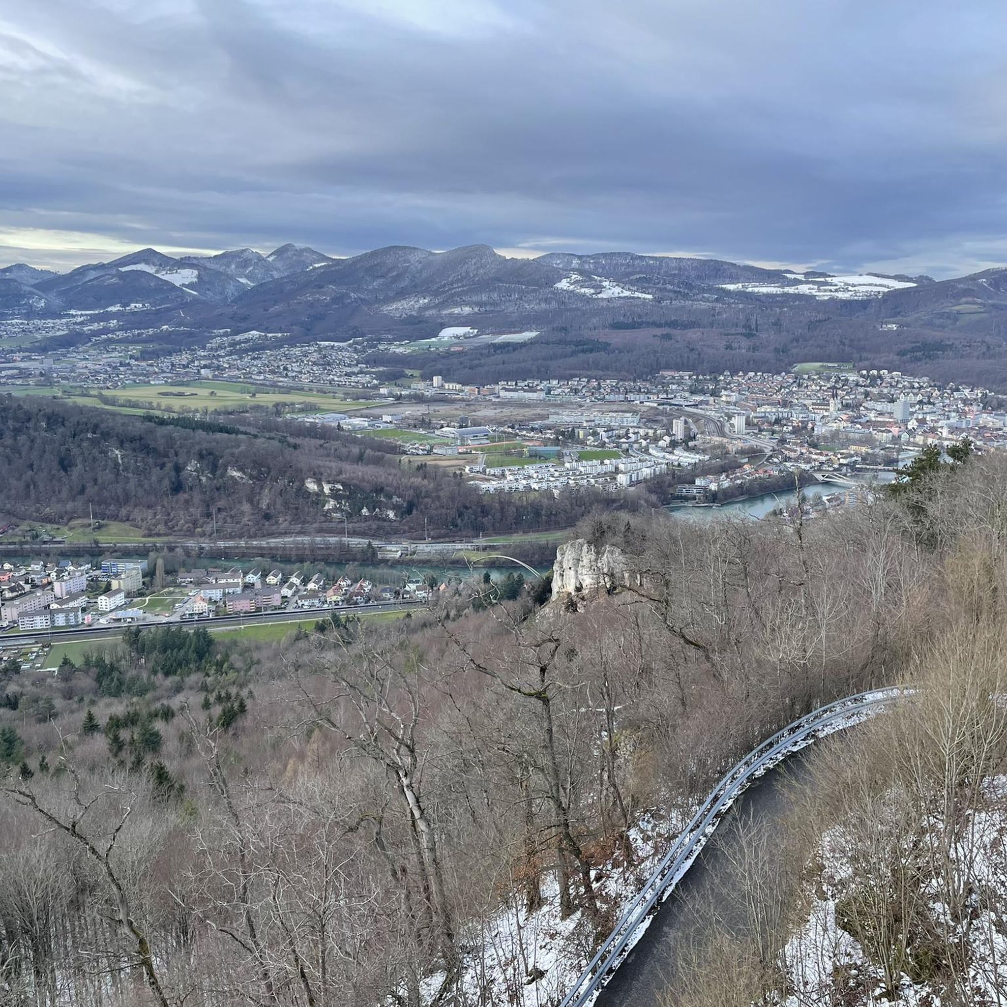
This viewpoint is located on the highest point of the Swiss Belchen on the border between Baselland and Solothurn and is best reached on foot. There are no public transport stations nearby. A car park is available 5 minutes on foot below the Chilchzimmersattel. From there it is a 15-minute hike to the Belchenfluh. Further information The famous "Belchenflue" viewpoint was used as an observation post in World War I and was blasted into its current form. The Belchensüdstrasse between Ifenthal and the Belchenflue commemorates the troops involved in the construction with numerous coats of arms, which immortalized themselves in the rock after the work was completed.
14
2
Since the Wiesenberg is in the forest, this observation tower makes sense. It takes hikers above the treetops and allows a 360-degree panorama. There are panorama boards. The climb is worth it.
5
0

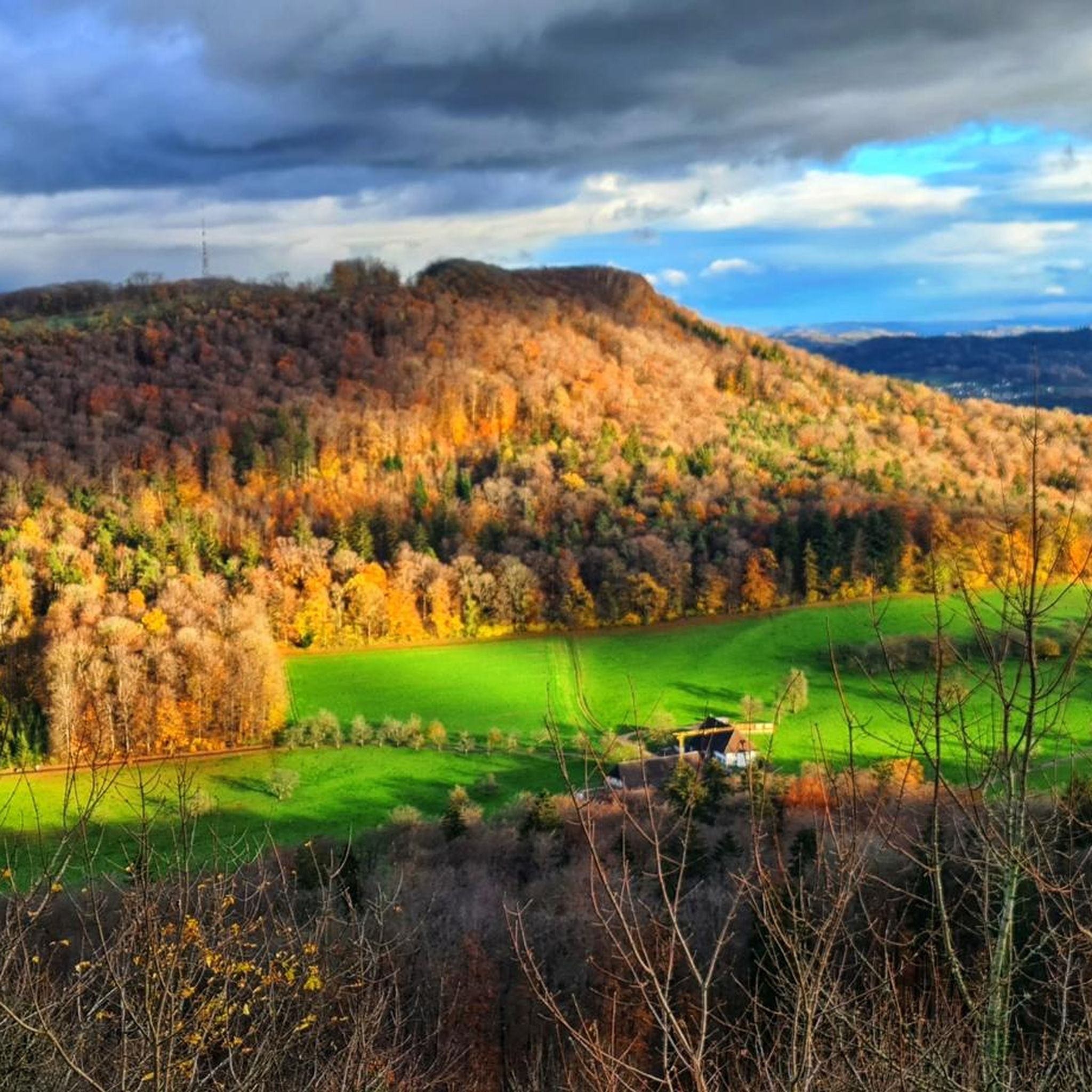
The path to the Gwidmenflue requires sure-footedness on both sides, but is easily doable with the necessary caution and concentration. Particular caution is required when it is wet as the rocks become very slippery. Once at the top, you can explore the old military facilities and enjoy the wonderful view.
1
0
Romantic paths over rocky ridges invite you to climb the Belchenflue at 1,099 m with a unique panoramic view. The viewpoint is located at the highest point of Belchen on the border between Baselland and Solothurn and can be reached on foot. https://www.baselland-tourismus.ch/poi/belchenfluh
5
0

Very nice path over the Belchenflue, sure-footedness is sometimes required, especially when it is wet
7
0

During the Second World War, this tower was used as an air observation post. The forest grew higher and higher, making it necessary to expand the tower. In 1953, it was increased by 6 meters and in 1987 by a further 9.5 meters.
7
0

My chicco felt big on the Top of Aargau ;-)
4
0

The way up to the Gwidemflue is really easy.
2
1
Frequently Asked Questions
What are some of the most popular natural monuments and attractions around Starrkirch-Wil?
Visitors frequently enjoy the panoramic views from the Belchenflue Summit Viewpoint, which was also an observation post during World War I. Another popular spot is the Wisenberg Observation Tower, offering a 360-degree panorama above the treetops. The Gwidemflue Ridge and World War I Fortifications also attract those looking for a challenging hike with historical significance.
Are there any protected natural areas or unique landscapes to explore near Starrkirch-Wil?
Yes, the Alte Aare (Old Aare) is a significant natural feature. This floodplain area is of national importance, representing a remnant of the Aare river's original course. It's recognized for its rich biodiversity, serving as a valuable habitat for various animals and plants, and is an excellent spot for nature observation and birdwatching.
What kind of wildlife can I expect to see in the natural areas around Starrkirch-Wil?
The Alte Aare floodplain is known for its diverse ecosystem, supporting various bird species, amphibians, and rare flora. For a more direct wildlife experience, the Mühletäli Wildlife Park, located at the communal border, allows visitors to observe species like fallow deer, sika deer, raccoons, and mouflons in a natural setting.
Are there family-friendly natural attractions or activities in the region?
Absolutely. The Mühletäli Wildlife Park is a great option for families, offering free admission and the chance to see various animals. Additionally, the hiking trails around Starrkirch-Wil include easy routes like the Mühletäli Wildlife Park – Sälischlössli loop, which is suitable for families.
What hiking opportunities are available near the natural monuments?
The region offers diverse hiking experiences. You can find trails leading to viewpoints like the Belchenflue Summit Viewpoint, which requires sure-footedness. For a more challenging adventure, the Gwidemflue Ridge features an exposed path with former fortifications. For more options, explore the hiking guide for Starrkirch-Wil, which includes routes like the Alte Aare – Bench With a View of the River loop.
Are there any historical sites among the natural monuments?
Yes, several natural monuments also hold historical significance. The Belchenflue Summit Viewpoint was used as an observation post during World War I. Similarly, the Wisenberg Observation Tower served as an air observation post in World War II. The Gwidemflue Ridge features remnants of World War I fortifications. Additionally, Wartenfels Castle, a medieval tower castle, offers both historical context and great views.
Where can I find a good spot for a picnic or barbecue in a natural setting?
The Grillplatz beim Reservoir Steinbruch is an excellent choice. Located along a forest path above the quarry reservoir, this public barbecue area is equipped with tables and benches and features a fountain with flowing spring water, providing a pleasant spot for outdoor gatherings.
Is there a fitness trail or outdoor exercise area in the natural surroundings?
Yes, the Vita-Parcours "Ischlag" is situated in the Wilerwald (Wiler Forest). This well-maintained fitness trail offers a 2.3 km route with a 50-meter elevation gain and 15 exercise stations, perfect for physical activity amidst the natural woodland.
What is the highest point in the canton of Aargau, and can I visit it?
The highest point in the canton of Aargau is the Geissfluhgrat, at 908 meters above sea level. It's located right next to a hiking trail, requiring only a short detour to reach this significant landmark.
What are some other outdoor activities I can do near Starrkirch-Wil's natural monuments?
Beyond hiking, the area offers excellent opportunities for cycling. You can explore various MTB trails or enjoy gravel biking routes. Options range from moderate to difficult, taking you through diverse landscapes including river paths and scenic viewpoints.
What do visitors say about the natural monuments in this region?
Visitors frequently praise the panoramic views, especially from spots like the Belchenflue Summit Viewpoint, noting that the ascent is worthwhile for the stunning scenery. Many also appreciate the unique experience of the Wisenberg Observation Tower, which takes them above the treetops for a 360-degree panorama. The historical aspects of sites like the Gwidemflue Ridge are also highly valued.
Is it possible to reach these natural monuments using public transport?
While some areas might be accessible, for highlights like the Belchenflue Summit Viewpoint, there are no public transport stations nearby. A car park is available a short walk from the Chilchzimmersattel, from where it's a 15-minute hike. It's advisable to check specific access details for each location.
Most popular routes around Starrkirch-Wil
Most popular attractions around Starrkirch-Wil

Get inspired with the komoot mobile app


Explore more
Extend your search for the best caves by checking out these guides of the top ones around Starrkirch-Wil:
