Top 13 Bike Parks around Oberlangenegg
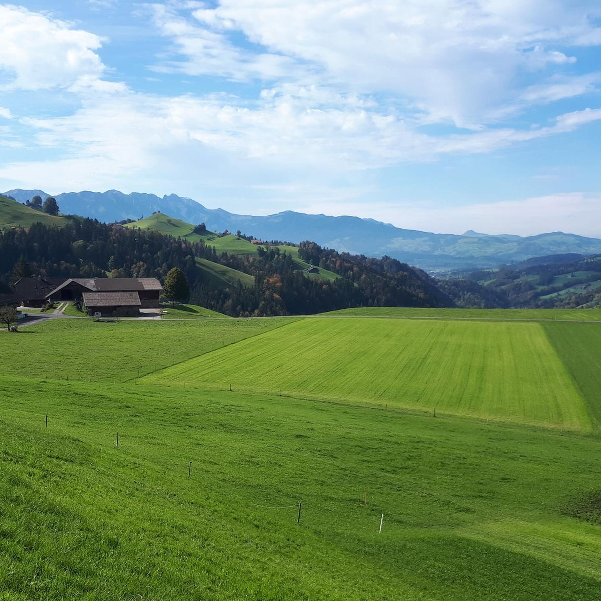
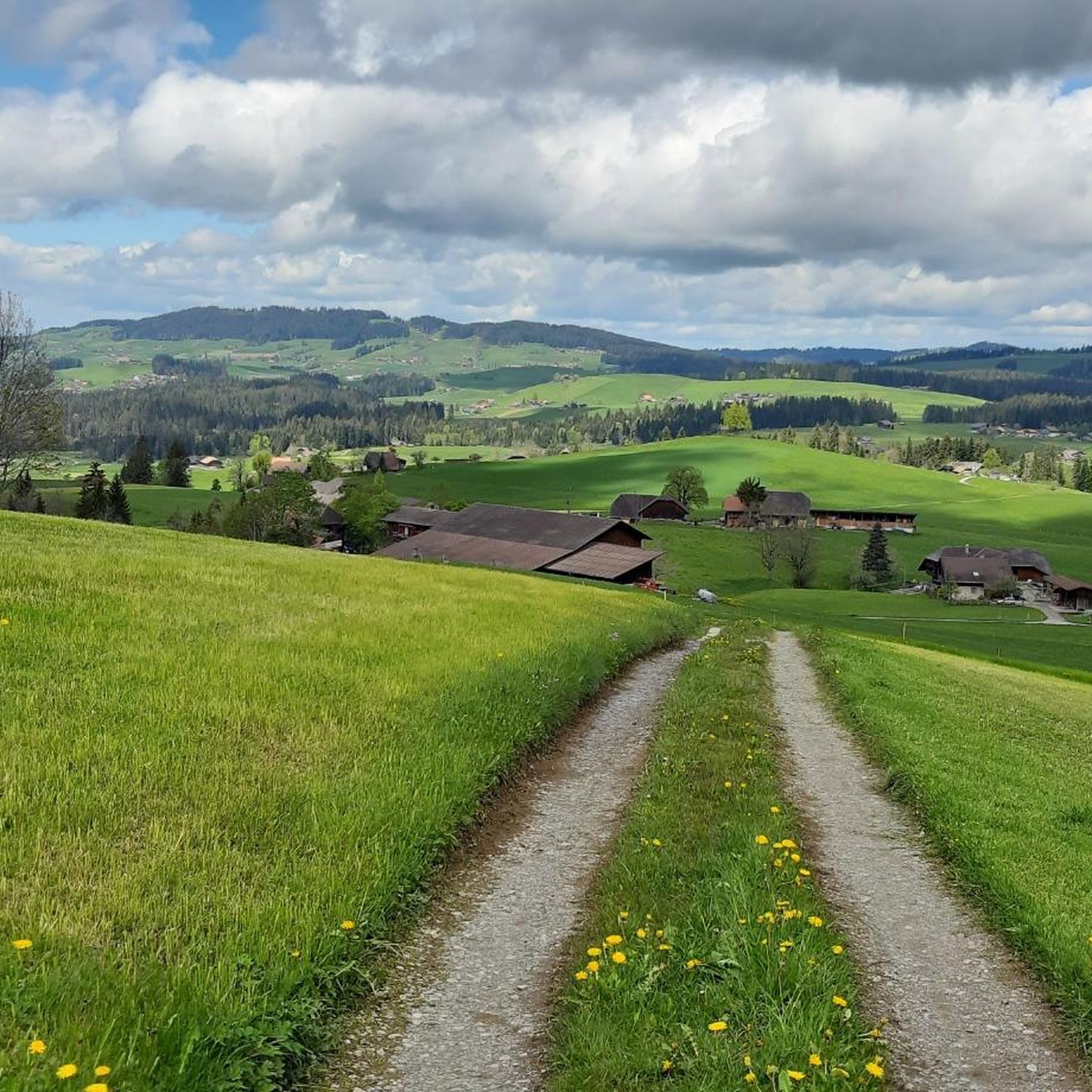
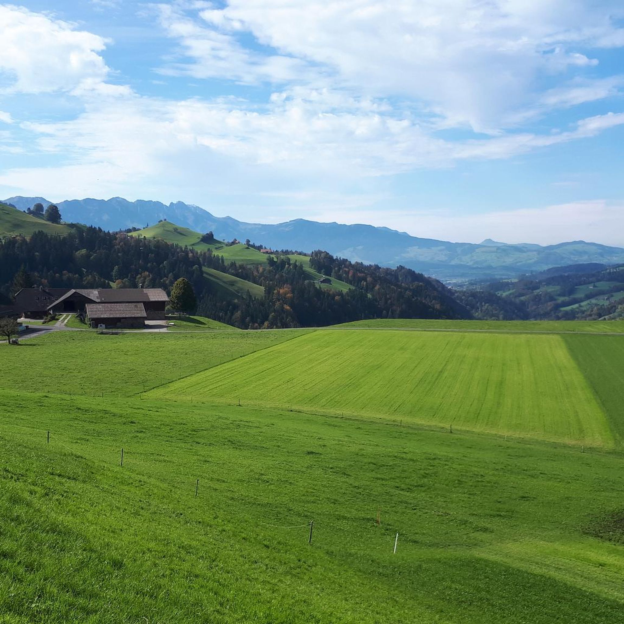
Best bike parks around Oberlangenegg are found within the scenic Emmental region of the Bernese Oberland, characterized by its rolling hills and natural landscapes. This area offers opportunities for mountain biking, with a focus on diverse trails rather than large, dedicated bike park facilities. The region is known for its varied terrain, providing options for different skill levels. Mountain biking routes often utilize the natural features of the Swiss landscape.
Best bike parks around Oberlangenegg
- The most popular bike parks…
Last updated: July 10, 2026
Blueme Observation Tower
Highlight • Viewpoint
Translated by Google •
Tip by

Tannzäpfu Trail
Highlight (Segment) • MTB Park
trailforks.com/trails/tannzapfu
Fast, varied freeride trail that starts below Barschwandhubel towards the north. After a fairly straight start, it really starts after crossing a forest road. Numerous small …
Translated by Google •
Tip by

Sign up now to discover places like this
Get recommendations on the best single tracks, peaks, & plenty of other exciting outdoor places.
Sign up for free
Goldiwheel Trail – UHU & Ried Section
Highlight (Segment) • MTB Park
Translated by Google •
Tip by

Rabenfluh Trail
Highlight (Segment) • MTB Park
Translated by Google •
Tip by

Forest trail with technical features
Highlight • Trail
Translated by Google •
Tip by

Sign up for free to discover even more bike parks around Oberlangenegg.
Sign up for free
Already have an account?
Start today with a free account
Your next adventure awaits.
Login or Signup
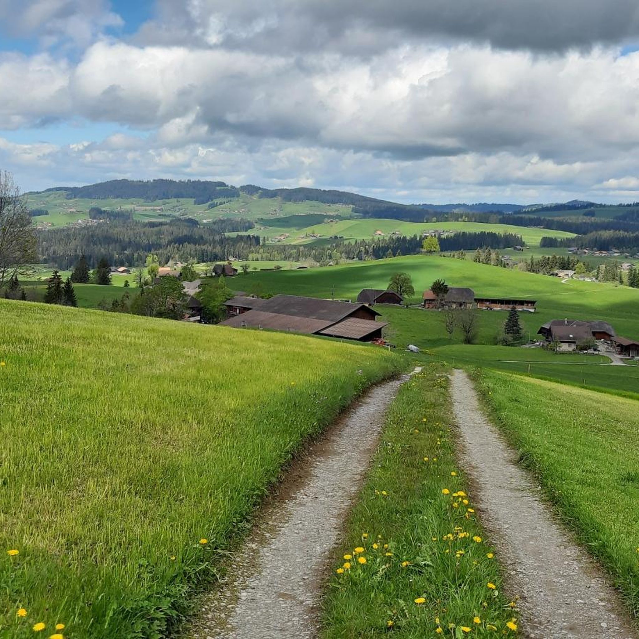
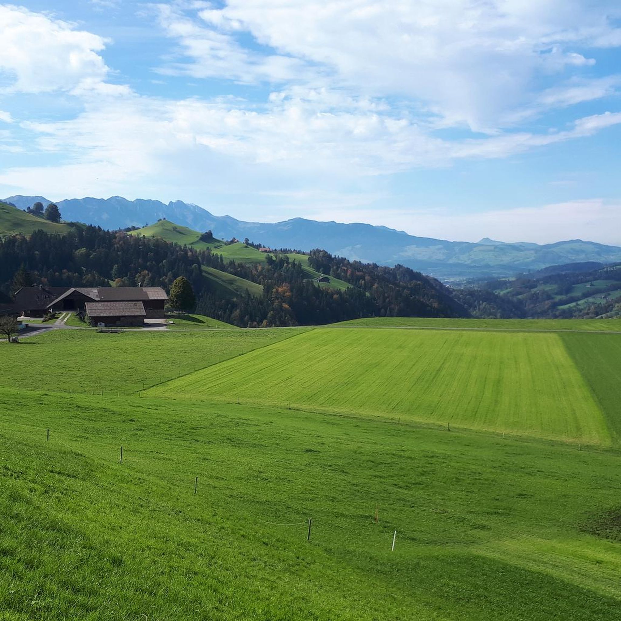
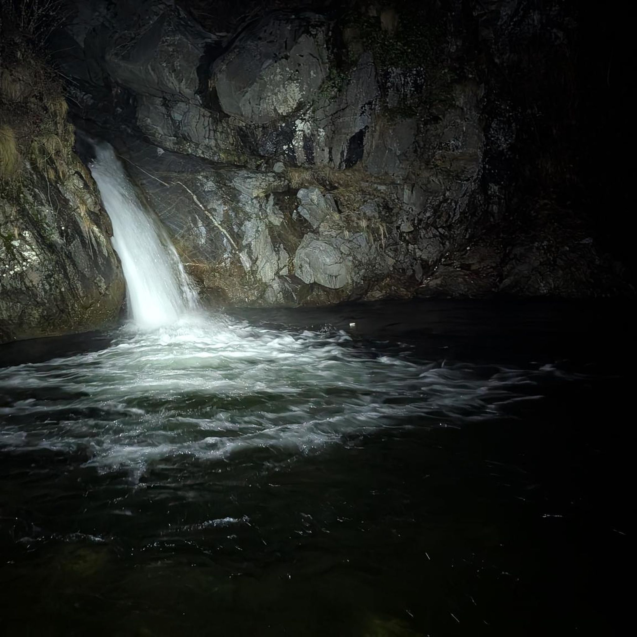
Tips from the Community

The descent is fantastic
0
0

Cool trail, fun!
0
0

Nice and flowing. Also suitable for beginners. There are also individual highlights with advance warning and chicken lines. Simply great!
1
1

Flowing trail from the Rabenfluh, unfortunately the access for bikers via the Geissentäli was closed!
0
0
Nice trail well maintained my 5 year old grandson loves in.
1
0
Well maintained trails around Thun
0
0

certainly worth the visit!
0
0
Frequently Asked Questions
Which bike trails are most popular with visitors around Oberlangenegg?
The komoot community highly rates several trails. The Goldiwheel Trail – UHU & Ried Section is particularly popular for its flowing nature and suitability for beginners. Another favorite is the Tannzäpfu Trail, known for its fast and varied freeride experience. Visitors also enjoy the challenging Forest trail with technical features.
Are there family-friendly bike trails in the Oberlangenegg area?
Yes, the Goldiwheel Trail – UHU & Ried Section is specifically noted as being family-friendly and suitable for beginners, offering a nice, flowing experience with individual highlights and chicken lines.
What kind of terrain can I expect on the bike trails around Oberlangenegg?
The trails in the Oberlangenegg area, situated in the Emmental region of the Bernese Oberland, offer diverse terrain. You'll find varied freeride trails like the Tannzäpfu Trail with jumps and steep descents, as well as forest trails with technical features. The region's natural landscape provides a mix of flowing sections and more challenging elements.
What is the best time of year to visit Oberlangenegg for mountain biking?
The region is generally good for mountain biking during the warmer months. The Tannzäpfu Trail, for example, is largely manageable even in rainy conditions, suggesting good rideability across different seasons, though a short muddy section on a forest road might occur.
Are there trails suitable for advanced mountain bikers?
Absolutely. The Forest trail with technical features is described as challenging and includes jumps. The Tannzäpfu Trail also offers a fast and varied freeride experience with numerous small and medium-sized jumps, steep descents, and wall rides, catering to more experienced riders.
Can I find trails with good views near Oberlangenegg?
Yes, the Rabenfluh Trail, located near Thun, offers a super freeride experience with a great view during the ascent. Additionally, the Blueme Observation Tower, which is accessible via some trails, provides a wonderful panoramic view of the Alpine panorama.
What other outdoor activities can I do near the bike trails in Oberlangenegg?
Beyond mountain biking, Oberlangenegg offers a variety of outdoor activities. You can explore numerous hiking trails, such as the moderate 'Schallenberg Pass loop from Oberei' or 'Chnubelegg – Chnübeli Summit loop from Oberlangenegg'. There are also dedicated running trails and road cycling routes available. For more details, check out the Hiking around Oberlangenegg, Running Trails around Oberlangenegg, and Cycling around Oberlangenegg guides.
Are there any specific features on the trails that stand out?
The Tannzäpfu Trail is notable for its two hollow lanes with wall rides and a short, technical traverse/slope. The Forest trail with technical features is appreciated for its well-built jumps. The Goldiwheel Trail – UHU & Ried Section offers individual highlights with advance warning and chicken lines, making it adaptable for different skill levels.
How can I access the bike trails around Oberlangenegg?
While specific parking or public transport details for each trail might vary, the region is generally accessible. After completing a trail like the Tannzäpfu Trail, riders can often return towards the start via asphalt roads or push up forest roads. For detailed access information, it's recommended to check individual trail descriptions on komoot.
What kind of natural features can I explore in the Emmental region while biking?
The Emmental region, where Oberlangenegg is located, is characterized by its rolling hills and natural landscapes. While biking, you'll encounter scenic forest sections, open countryside, and potentially viewpoints like the Blueme Observation Tower, offering panoramic views of the Bernese Alps and Lake Thun.
Are there any beginner-friendly mountain bike trails in the area?
Yes, the Goldiwheel Trail – UHU & Ried Section is explicitly described as suitable for beginners, offering a nice and flowing experience. It also includes chicken lines, allowing less experienced riders to bypass more challenging features.
Most popular routes around Oberlangenegg
Most popular attractions around Oberlangenegg

Get inspired with the komoot mobile app


Explore more
Still looking for your perfect bike park? Check out our guides in these places:
